The best road cycling routes in Media Valle Del Sillaro
4.3
(107)
1,730
riders
40
rides
Road cycling routes in Media Valle Del Sillaro traverse a varied landscape characterized by ancient rural environments, extensive woodlands, and unique geological formations. The region features a mix of pastures, juniper thickets, and oak-hornbeam forests, with riparian vegetation lining the Sillaro river. Cyclists encounter diverse terrain, including clayey badlands known as "calanchi" and rounded hills, offering both challenging climbs and flatter sections. The extended slopes, generally between 200 and 500 meters above sea level, provide varied gradients and panoramic views…
Last updated: July 15, 2026
3.3
(19)
117
riders
Easy road ride. Great for any fitness level. Mostly well-paved surfaces and easy to ride.
23
riders
62.9km
03:38
1,230m
1,230m
Hard road ride. Very good fitness required. Some segments of this route may be unpaved and difficult to ride.

Sign up for free
5.0
(1)
28
riders
48.4km
02:41
1,000m
1,000m
Hard road ride. Very good fitness required. Mostly well-paved surfaces and easy to ride.
20
riders
29.2km
01:13
210m
210m
Easy road ride. Great for any fitness level. Mostly well-paved surfaces and easy to ride.
10
riders
47.6km
02:52
1,160m
1,160m
Hard road ride. Very good fitness required. Mostly well-paved surfaces and easy to ride.
Get access to more routes and recommendations from other explorers.
Sign up for free
Already have an account?
Our route recommendations are based on thousands of hikes, rides, and runs completed by other people on komoot.
Start today with a free account
Your next adventure awaits.
Login or Signup

Tips from the Community


Recommended for those who want to take a break in the shade. Watch out though, there aren't many benches.
0
0

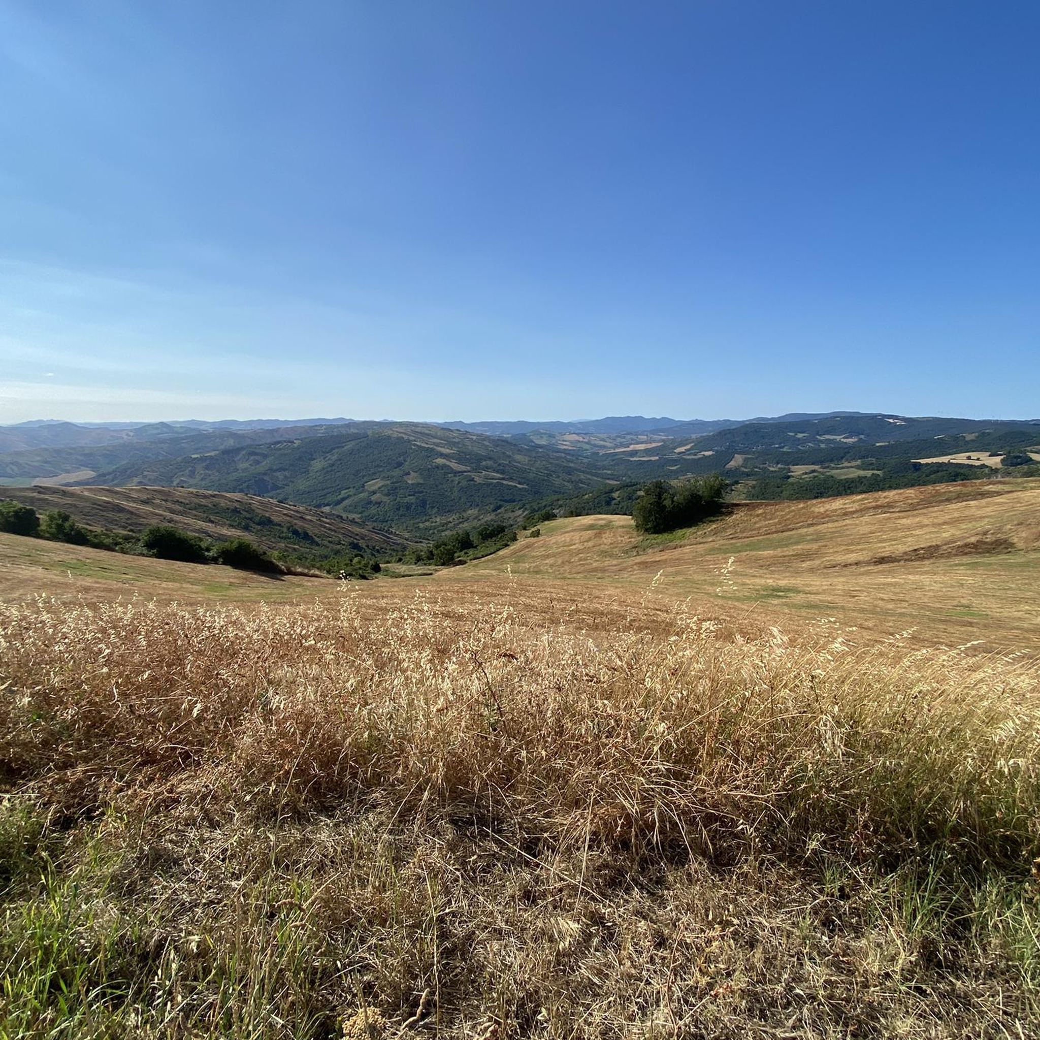
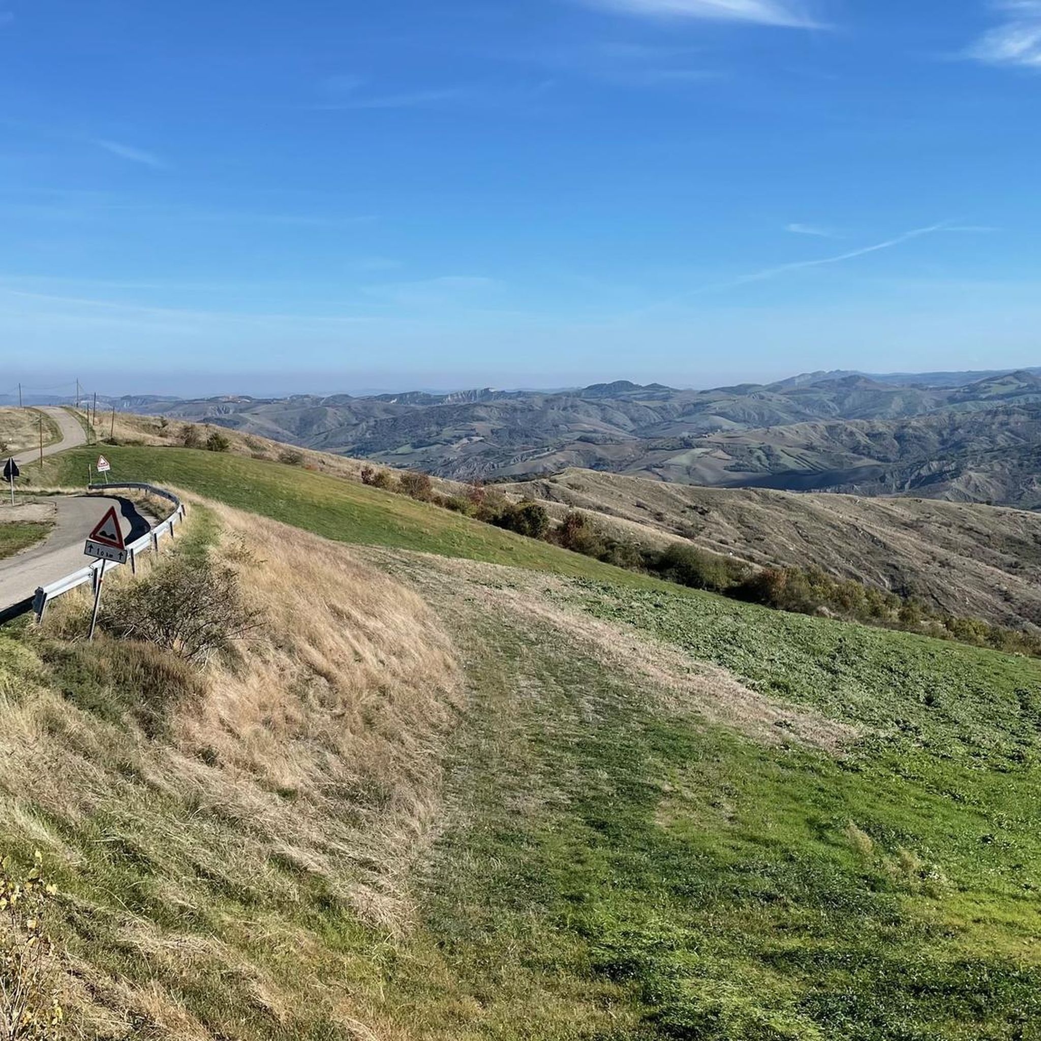
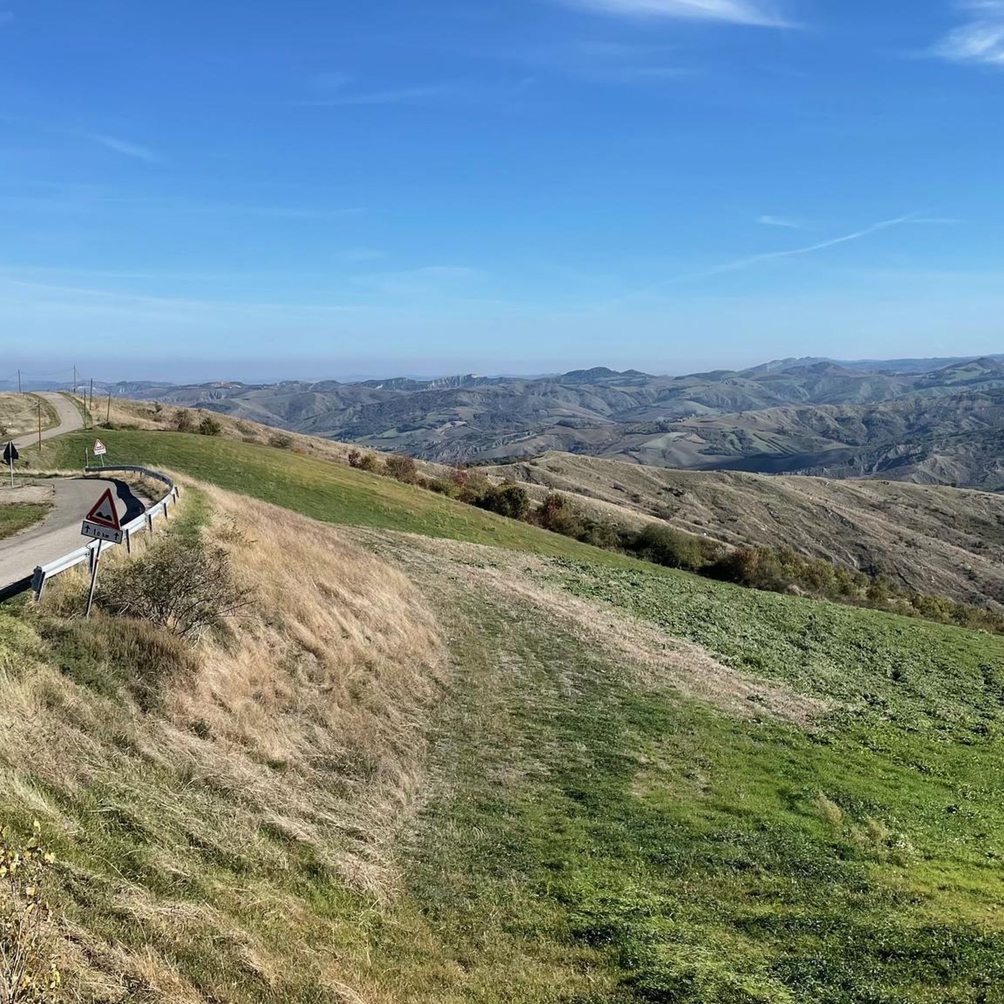
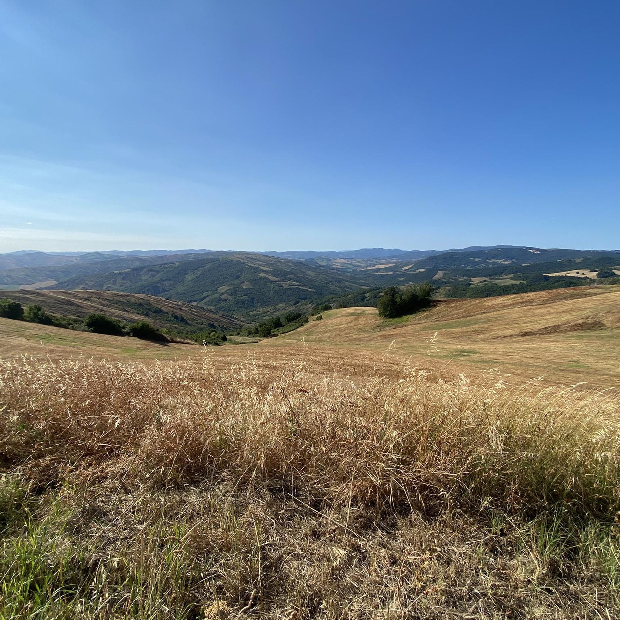
During the summer weekends it is a land of roaring motorbikes but during the week the SS65 of Futa is a paradise of peace and beauty to be enjoyed by bicycle, it is automatic to stop at the Passo della Raticosa and enjoy the view, clean air and peace and the bar is a good excuse to delay as much as possible the departure from that mystical place...
0
0

at certain times it is also possible to find it open to visit the church
0
0

Monte delle Formiche is a relief in the middle Bolognese Apennines above Pianoro, between the Idice valleys and the Zena valley. It has an altitude of 638 m. The name of the mountain seems to be linked to a natural phenomenon that occurs annually around September 8th, the feast day of the Madonna to whom a sanctuary is dedicated at the top of the mountain. Swarms of winged ants of the Mirmyca Scabrinodis variety migrate to this peak from central Europe to make their nuptial flight and die there. The event, which has been witnessed since ancient times, has over time taken on an almost miraculous value, a sort of homage from nature to the Madonna. From the sanctuary there is a beautiful panoramic view of the valleys below. By bike it is a beautiful climb with significant gradients.
0
0

One of the most famous passes in the Tuscan-Emilian Apennines, it is very popular with those who walk or cycle. It is located on the Alta Via dei Parchi and has three asphalted sides: Frassineta and Monghidoro on the Bolognese side, Pietramala on the Tuscan side. At the top there is the Chalet Raticosa, where it is possible to stop and refresh.
1
0

it is the stretch of river where the water is quite pristine
0
0

The Raticosa pass is one of the most celebrated and well-known passes in the Tuscan-Emilian Apennines. It is located at 968 meters above sea level. At the top the chalet offers a moment of relaxation after the effort faced. Before the construction of the motorway, this was the only route between Bologna and Florence.
3
0
Frequently Asked Questions
How many road cycling routes are available in Media Valle Del Sillaro?
Media Valle Del Sillaro offers a wide selection of road cycling routes, with over 40 tours available. These routes cater to various skill levels, from easy rides along the river to challenging climbs through the hills.
What kind of terrain can I expect on road cycling routes in Media Valle Del Sillaro?
The region features a diverse landscape, including both paved and unpaved sections. You'll encounter varied terrain, from flatter stretches along the Sillaro river to extended slopes between 200 and 500 meters above sea level. A defining characteristic is the presence of 'calanchi' (badlands), which are striking clayey and rocky outcrops, adding unique visual scenery to your ride.
Are there road cycling routes suitable for beginners in Media Valle Del Sillaro?
Yes, there are several easy road cycling routes perfect for beginners. For example, the Villaggio della Salute Più – Sillaro Riverbed loop from Media Valle del Sillaro is an easy 40.7 km route that follows the riverbed, offering a relaxed ride through rural landscapes. Another accessible option is the Castel del Britti loop from La Rocca, which is 27.9 km with moderate elevation gain.
What are some challenging road cycling routes for experienced cyclists in Media Valle Del Sillaro?
Experienced cyclists looking for a challenge will find plenty of options. The Roadbike loop from Monterenzio is a difficult 62.5 km route with substantial climbing, often completed in about 3 hours 36 minutes. Another demanding option is the Chalet Raticosa – Raticosa Pass loop from Monterenzio, a 48.1 km route with nearly 1000 meters of elevation gain.
What unique natural features can I see while road cycling in Media Valle Del Sillaro?
The Media Valle Del Sillaro is rich in natural beauty. You can expect to see the distinctive 'calanchi' formations, which are extensive clayey and rocky outcrops created by erosion. The Sillaro river itself is a central feature, lined with riparian vegetation. The area also boasts diverse woodlands, including oak and hornbeam forests, and is recognized for its high biodiversity, being part of the Natura 2000 network.
Are there any historical landmarks or points of interest along the road cycling routes?
While cycling, you might pass through or near charming small towns and villages such as San Martino in Pedriolo, Sassoleone, and San Clemente, which offer glimpses into local culture. The Villaggio della Salute Più is a wellness center mentioned as a place where cyclists can refresh themselves. Near San Martino in Pedriolo, you can also admire lakes formed from former quarries.
What is the best time of year for road cycling in Media Valle Del Sillaro?
The Media Valle Del Sillaro is generally suitable for road cycling from spring through autumn. Spring offers lush greenery and pleasant temperatures, while autumn provides cooler weather and beautiful foliage. Summer can be warm, but routes along the Sillaro river or those passing through shaded woodlands offer some respite. Always check local weather forecasts before heading out.
Are there any family-friendly road cycling routes in Media Valle Del Sillaro?
For families, the easier routes with less elevation gain are ideal. The Villaggio della Salute Più – Sillaro Riverbed loop from Media Valle del Sillaro is a good option due to its relatively flat profile along the river. These routes often pass through rural landscapes, providing a pleasant and safe environment for family rides.
Where can I find parking for road cycling routes in Media Valle Del Sillaro?
Many routes often start from towns like Castel San Pietro Terme or Monterenzio, where you can typically find public parking facilities. It's advisable to check specific starting points for routes on komoot for detailed parking information, as options can vary by location.
What do other road cyclists enjoy most about road cycling in Media Valle Del Sillaro?
The area is highly rated by the komoot community, with an average score of 4.4 stars from over 100 reviews. Cyclists often praise the varied terrain, which offers both challenging climbs and relaxed riverbed rides, the unique 'calanchi' geological formations, and the overall scenic beauty of the ancient rural landscape and extensive woodlands.
Are there any circular road cycling routes in Media Valle Del Sillaro?
Yes, many of the road cycling routes in Media Valle Del Sillaro are designed as loops, allowing you to start and end at the same point. Examples include the Villaggio della Salute Più – Sillaro Riverbed loop from Media Valle del Sillaro and the Villa Siepelunga and Park – Portico di San Luca loop from Monterenzio, providing convenient options for your ride.
Can I find places to eat or refresh along the cycling routes?
Routes often pass through or near small towns and villages such as San Martino in Pedriolo, Sassoleone, and San Clemente. These locations, along with starting points like Castel San Pietro Terme, are good places to find local cafes, restaurants, or shops for refreshments and meals. The Villaggio della Salute Più is also mentioned as a wellness center where cyclists can refresh.
Most popular routes in Media Valle Del Sillaro

Get inspired with the komoot mobile app


Explore more
Browse the best Road cycling routes in other regions.
