The 5 Most Amazing Peaks in Foresta Regionale Del Prescudin
Best mountain peaks in Foresta Regionale Del Prescudin are found within a dramatic landscape where elevations range from just over 400 meters to over 2,200 meters. This variation creates diverse environments, including sub-montane, montane, alti-montane, and sub-alpine beech forests, pine forests, and rocky alpine terrain. Approximately 90% of the forest is designated as a wilderness area, offering a largely wild and isolated context with striking views. The region is home to a rich array of wildlife, making it a significant…
Last updated: July 5, 2026
Crep Nudo Summit
Highlight • Summit
Translated by Google •
Tip by

Mount Messer
Highlight • Summit
Translated by Google •
Tip by

Sign up now to discover places like this
Get recommendations on the best single tracks, peaks, & plenty of other exciting outdoor places.
Sign up for free
Capel Grande
Highlight • Summit
Translated by Google •
Tip by
Cima Medol
Highlight • Summit
Translated by Google •
Tip by

Unnamed Peak at 1280 m
Highlight • Summit
Translated by Google •
Tip by
Start today with a free account
Your next adventure awaits.
Login or Signup
Popular around Foresta Regionale Del Prescudin
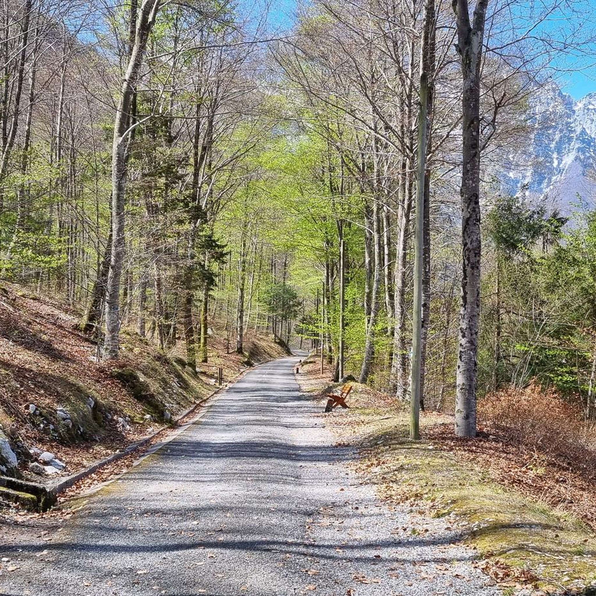
Hiking in Foresta Regionale Del Prescudin

Cycling in Foresta Regionale Del Prescudin
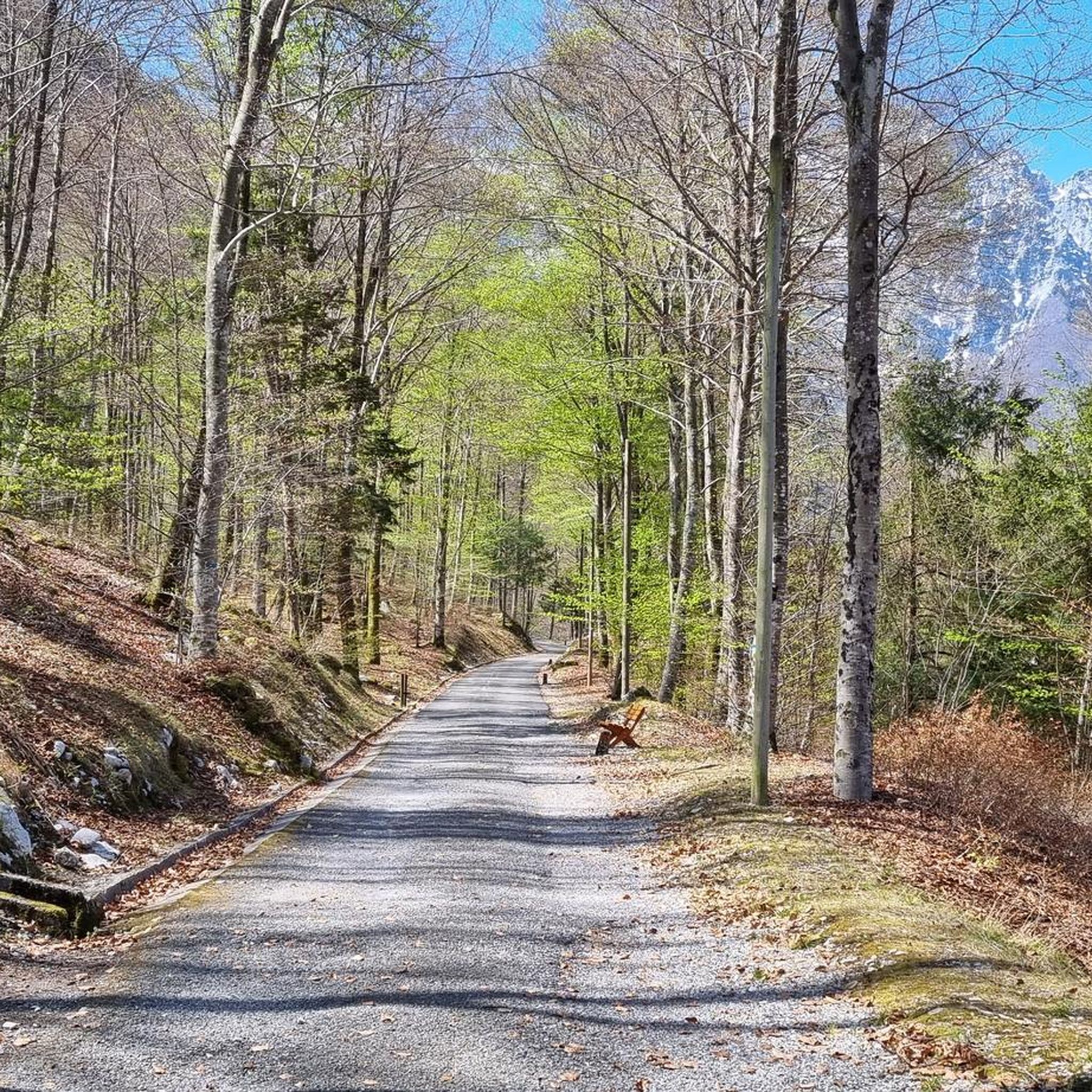
Road Cycling Routes in Foresta Regionale Del Prescudin
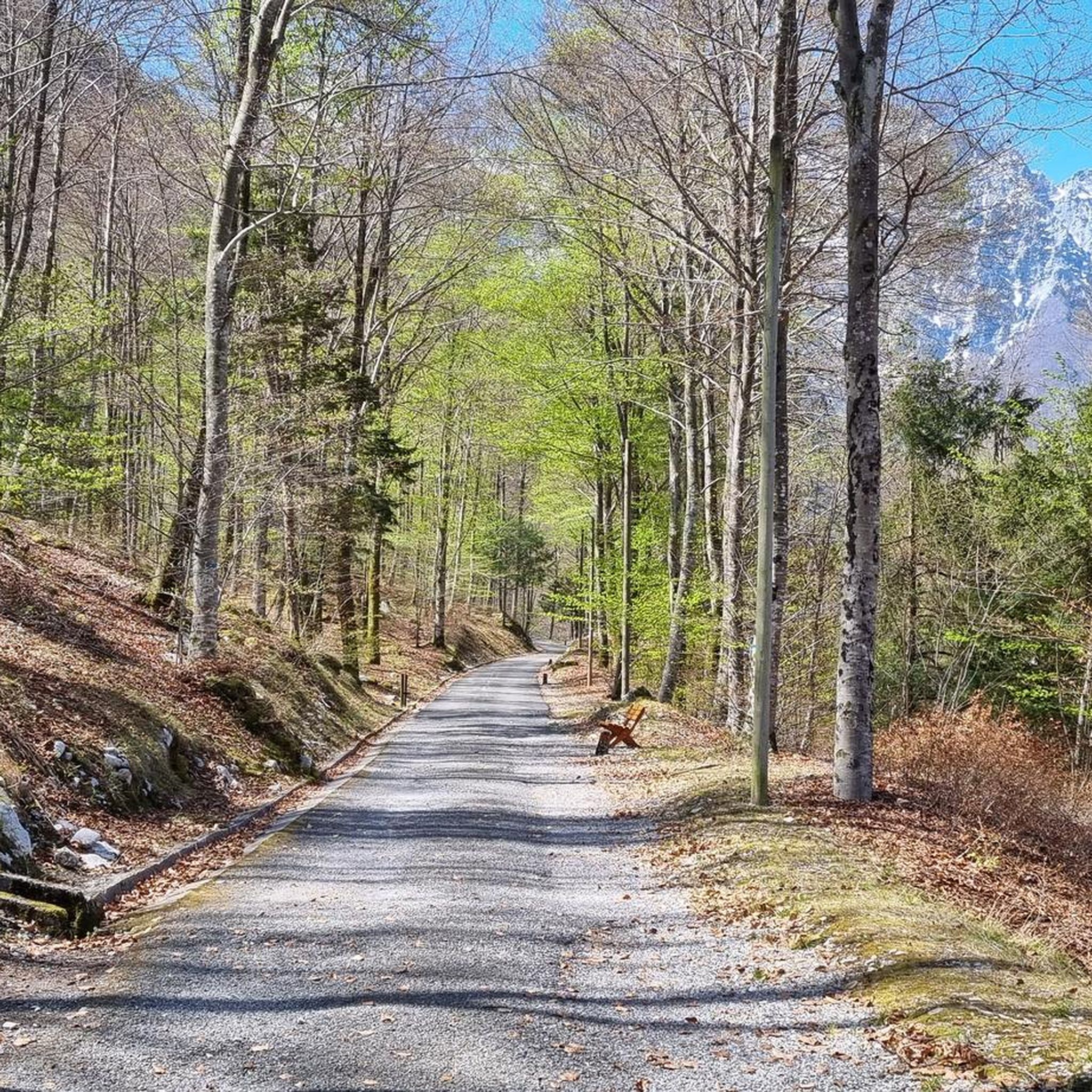
MTB Trails in Foresta Regionale Del Prescudin
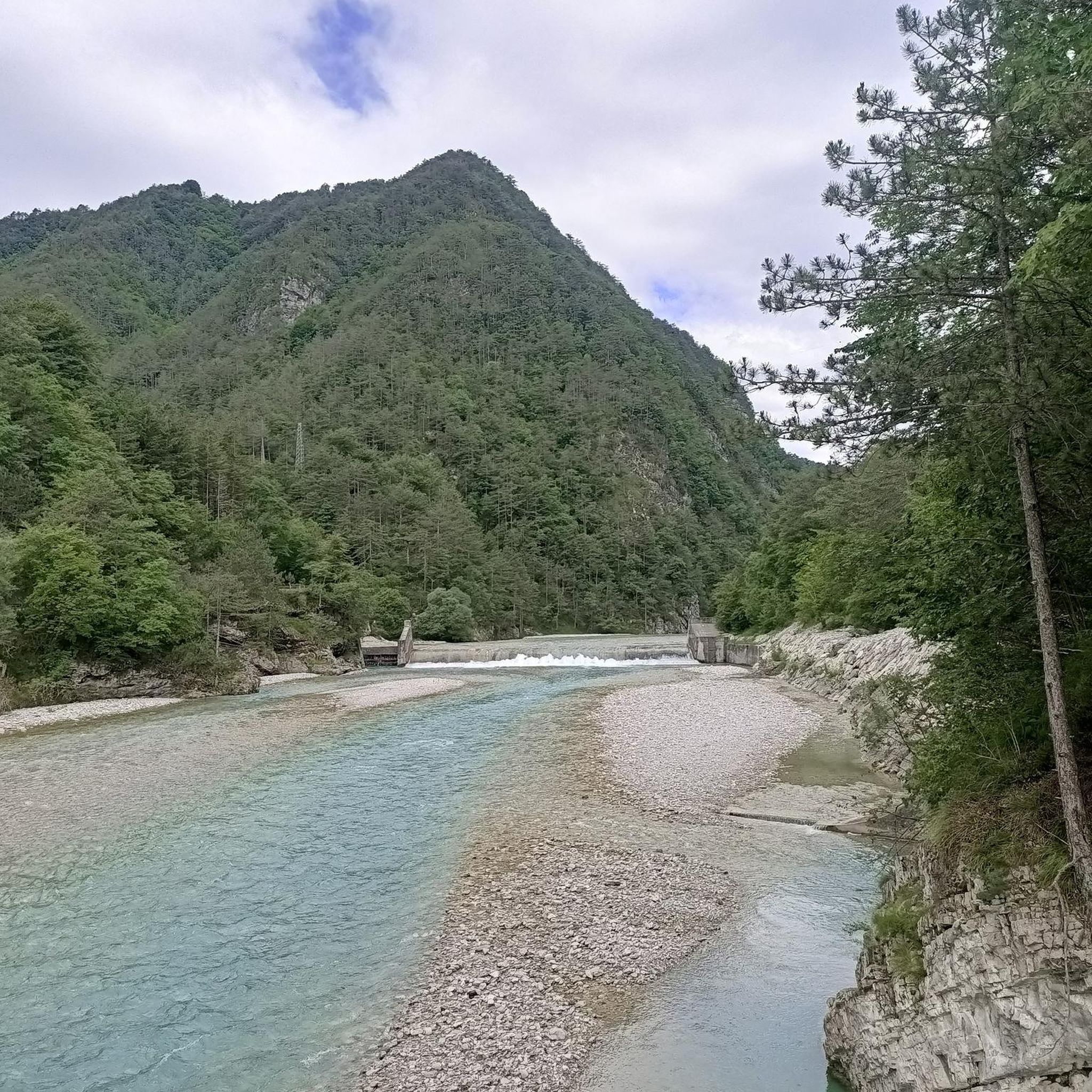
Running Trails in Foresta Regionale Del Prescudin

Gravel biking in Foresta Regionale Del Prescudin

Mountain Hikes in Foresta Regionale Del Prescudin
Tips from the Community


This peak is the highest point of the ridge of Mount Laura and Mount Angelo, slightly lower than about thirty meters. The CAI 978 path goes up to Casera Bitter, goes up near the aforementioned peak, goes down to "Forca di Sass" and goes down to Val Prescudin.
1
0
The peak is not very high (1140 m), but it is in a very panoramic position because it is located in the centre of the park.
1
0

The summit of Mount Messer reaches 2,230 meters above sea level and is surprisingly welcoming as it is covered with grass. To reach the summit you first walk along a grassy slope which does not present particular difficulties, then the path becomes steep and populated by small rocks before climbing up in the last stretch which also becomes exposed.
1
0
The Capel Grande Peak is recognizable by its pyramidal top. To reach it, you walk between Crep Nudo and Venal on a path that always runs along the crest offering incredible views. The bottom alternates gravelly stretches, eroded points and passages on rocks.
1
0

Together with the Teverone, the Venal and the Messer, the Crep Nudo forms the eastern part of the Cavallo-Visentin chain, an alpine supergroup of the Venetian Prealps section. Unlike all the other peaks of the Alpago, Crep Nudo, like the highest and most famous Col Nudo, is covered with stony ground and limestone rocks of the Trias which on the north and east slopes fall with high sheer walls, looming over the Val Chialedina and on Val Prescudin. Its unmistakable silhouette dominates the Lake of Barcis. Crep Nudo and his older brother also oversee the orography of the Col-Nudo Cavallo group because they are its main cornerstones, drawing a sort of huge "M" with the Teverone. Access to the summit via a normal route takes place from Casera Crosetta, in the hamlet of Funes d’Alpago.
6
0
Frequently Asked Questions
What are some of the most prominent mountain peaks in Foresta Regionale Del Prescudin?
The region features several notable peaks. Crep Nudo Summit is known for its unmistakable silhouette dominating Lake Barcis and its sheer walls. Mount Messer, at 2,230 meters, offers a challenging ascent to a surprisingly grassy summit. For expansive views from a central location, Cima Medol is a great choice, despite its modest elevation.
What kind of terrain can I expect when hiking the mountain peaks in this region?
The terrain in Foresta Regionale Del Prescudin is highly diverse, ranging from sub-montane and montane beech forests to pine forests, mugo pine areas, and rocky alpine sections. You'll encounter grassy slopes, stony ground, and challenging rocky ascents, especially on higher peaks like Mount Messer and Crep Nudo Summit.
Are there any mountain peaks suitable for experienced mountaineers seeking a challenge?
Yes, experienced mountaineers will find challenging ascents. Mount Messer features steep, rocky, and exposed sections towards the top, requiring sure-footedness and alpine experience. Crep Nudo Summit can involve high alpinistic difficulties, particularly due to its sheer walls and stony ground.
Which peaks offer the best panoramic viewpoints?
For exceptional panoramic views, Cima Medol is highly recommended due to its central location. Mount Messer also provides very beautiful and panoramic vistas from its summit. Additionally, Cima delle Vacche, though a modest peak, offers expansive views stretching to the Pale di San Martino, Civetta, Pelmo, and Lake Santa Croce.
What kind of wildlife can be observed in Foresta Regionale Del Prescudin?
The Foresta Regionale Del Prescudin is a significant area for naturalistic observation, home to a rich array of wildlife. Visitors may spot deer, roe deer, and occasionally eagles, especially within the approximately 90% designated wilderness area.
Are there any family-friendly mountain routes or peaks in the region?
While many peaks offer challenging ascents, some routes might be more accessible. For example, Capel Grande is listed as family-friendly in its categories, suggesting there are paths suitable for families, though the overall route to the peak can be challenging. Always check specific route details for suitability with children.
What is the best time of year to visit the mountain peaks in Foresta Regionale Del Prescudin?
The region can be enjoyed throughout the year. For hiking and climbing, late spring to early autumn generally offers the most favorable weather conditions. However, peaks like Cima delle Vacche are also desirable destinations in winter for snowshoeing or skiing, provided you have the right equipment and experience.
Are there any dog-friendly trails or peaks in Foresta Regionale Del Prescudin?
Yes, some areas are dog-friendly. For instance, Capel Grande is categorized as dog-friendly, indicating that you can bring your canine companion on certain trails in the region. Always ensure your dog is on a leash and you follow local regulations.
What other outdoor activities can I do near the mountain peaks?
Beyond peak bagging, Foresta Regionale Del Prescudin offers a variety of outdoor activities. You can explore numerous cycling routes, including road cycling and touring bicycle options. For example, consider the 'Footbridge over Lake Barcis – Piancavallo climb loop' for road cycling or the 'Cimolais Cycle Path – Lake Barcis loop' for touring. Mountain biking enthusiasts can find trails like the 'Footbridge over Lake Barcis – Casera Casavento loop'. You can find more details on these activities in the Road Cycling Routes, Cycling, and MTB Trails guides for the region.
What makes the Foresta Regionale Del Prescudin unique for mountain enthusiasts?
The region is unique due to its dramatic elevation range, creating diverse ecosystems from sub-montane forests to rocky alpine terrain. Approximately 90% of the forest is designated as a wilderness area, offering a largely wild and isolated context with striking views and a rich array of wildlife, making it ideal for those seeking challenging mountain experiences and naturalistic observation.
Are there any less-known or 'hidden' peaks worth exploring?
While not as widely known as the highest peaks, the Unnamed Peak at 1280 m, located on the ridge of Mount Laura and Mount Angelo, offers an intermediate trail and a viewpoint. It's part of the CAI 978 path, providing a different perspective of the Val Prescudin area.
What should I wear when hiking the mountain peaks in Foresta Regionale Del Prescudin?
Given the diverse terrain and varying elevations, it's essential to dress in layers. Sturdy hiking boots with good ankle support are crucial, especially for rocky and exposed sections. For higher, more challenging peaks, alpine experience and appropriate gear are necessary. Always check the weather forecast before heading out and be prepared for sudden changes.
Most popular routes in Foresta Regionale Del Prescudin
Most popular attractions in Foresta Regionale Del Prescudin

Get inspired with the komoot mobile app


Explore more
See even more amazing summits in Foresta Regionale Del Prescudin with these guides:
