The best walks and hikes in Lago Minisini E Rivoli Bianchi
4.4
(2999)
14,434
hikers
351
hikes
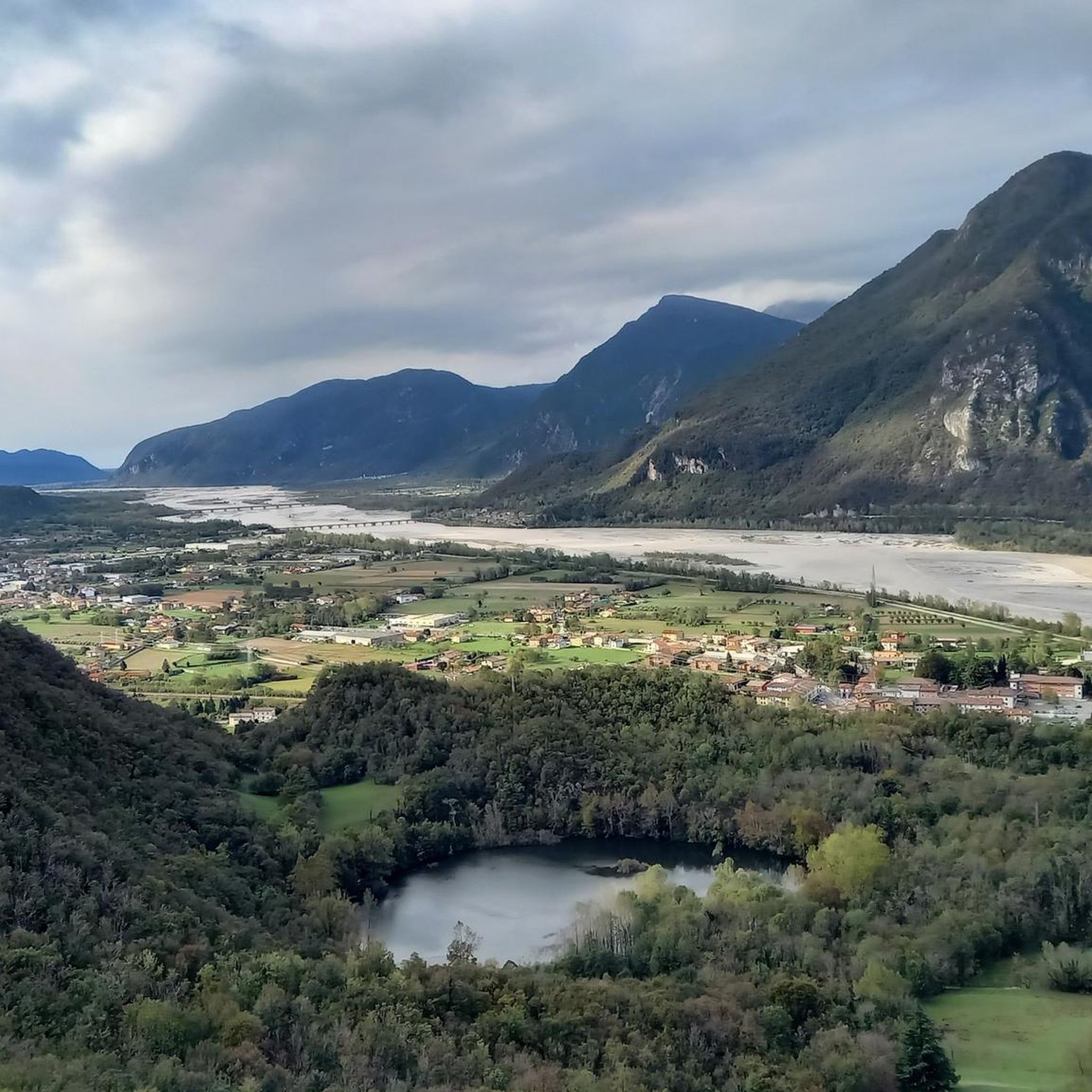
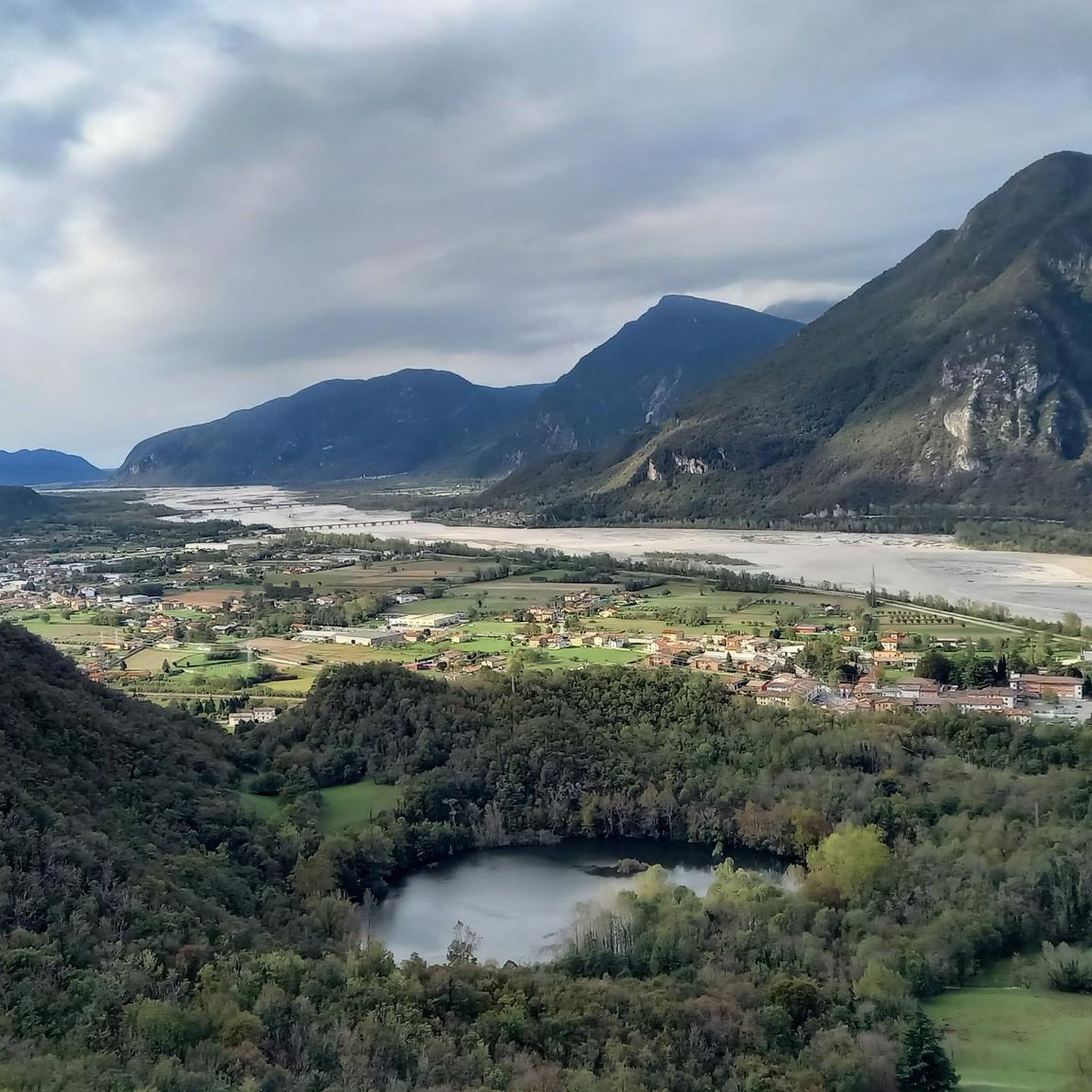
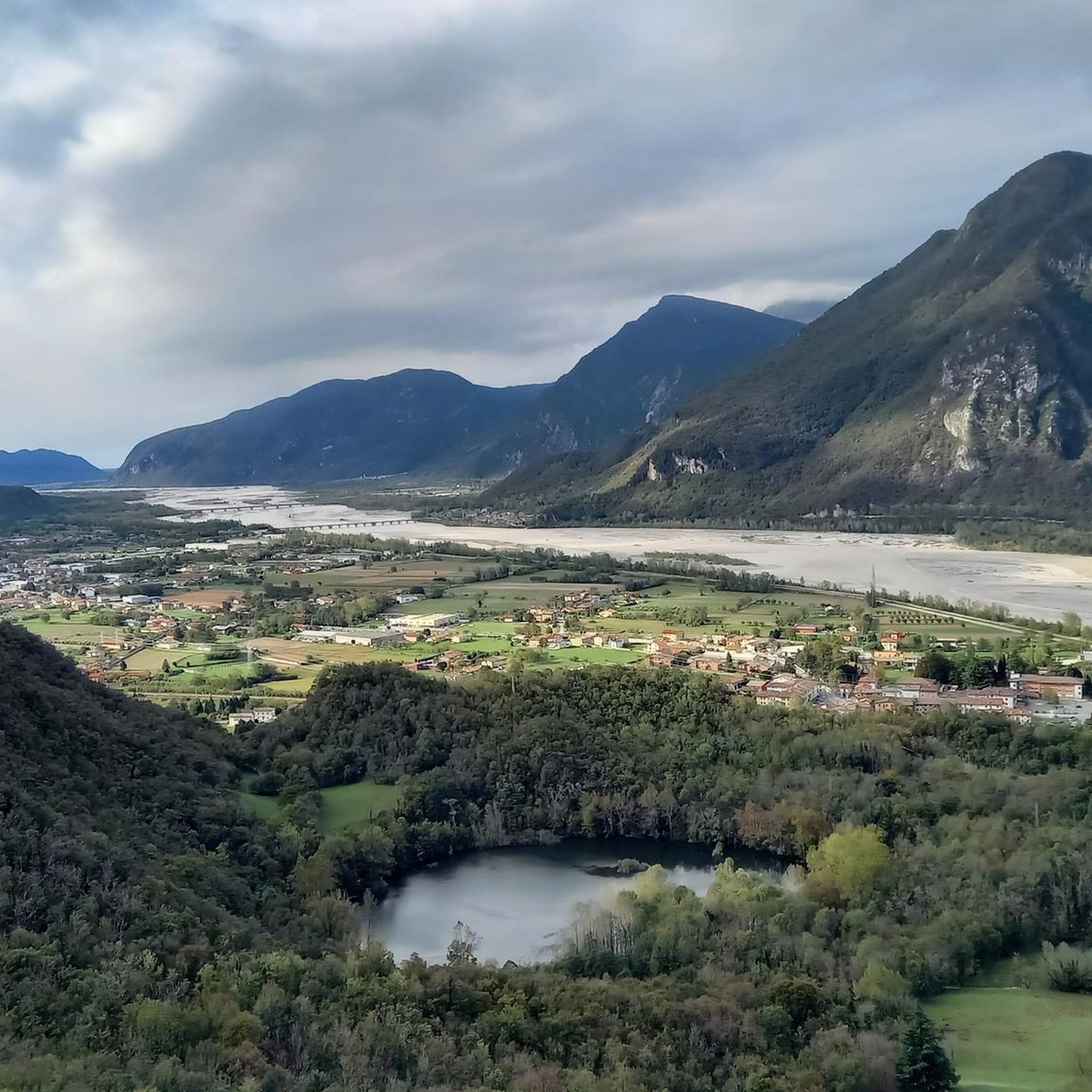
Hiking trails in Lago Minisini E Rivoli Bianchi traverse a landscape within the Julian Prealps, characterized by significant geological features and varied terrain. The region includes Lago Minisini, the largest natural water basin in the Julian Prealps, and the Rivoli Bianchi debris cone, one of Europe's largest active alluvial cones. Trails often provide panoramic views of the pre-Alpine foothills and the Friulian plain, winding through areas rich in geological diversity.
Best hiking trails in Lago Minisini E Rivoli Bianchi
- The…
Last updated: October 10, 2026
4.5
(2)
2
hikers
20.9km
07:42
1,060m
1,060m
Hard hike. Very good fitness required. Sure-footedness, sturdy shoes and alpine experience required.
4.4
(100)
408
hikers
Moderate hike. Good fitness required. Mostly accessible paths. Sure-footedness required.

4.6
(57)
176
hikers
Moderate hike. Good fitness required. Mostly accessible paths. Sure-footedness required.
4.2
(5)
32
hikers
4.95km
01:34
180m
180m
Easy hike. Great for any fitness level. Easily-accessible paths. Suitable for all skill levels.
5.0
(3)
19
hikers
Hard hike. Very good fitness required. Sure-footedness, sturdy shoes and alpine experience required.
Get access to more routes and recommendations from other explorers.
Already have an account?
Our route recommendations are based on thousands of hikes, rides, and runs completed by other people on komoot.
Start today with a free account
Your next adventure awaits.

Tips from the Community

The lake area creates a microclimate
0
0

Brilliant panoramic view up here and in addition to the summit cross there is also a bell
0
0

The fortress of Monte Ercole, also called "Forte di Ospedaletto" due to the name of the nearby locality in the municipality of Gemona del Friuli, is part of the defence system of the Upper Tagliamento, together with the nearby fortresses of Osoppo and Monte Festa. Very easily accessible by bike from Ospedaletto. First via a forest road, then via a former military road. Entry and visits are free and open to the public. Source and further information: turismofvg.it/de/109260/festung-des-monte-ercole
0
0

https://www.komoot.com/it-it/tour/2438653081 A beautiful walk featuring visits to natural environments such as the lake and its habitat, and human artifacts such as the Great War Fort and the road carved into the rock that leads to the highest emplacements of Mount Palombaro and Mount Cumieli.
0
0

Spectacular view, challenging scree, for experts
0
0
The Church of Sant'Agnese is an ancient church, possibly dating back to the 12th century, and was probably built on the ruins of a pagan temple along the Celtic Way. As early as the 13th century, a hermitage of nuns, possibly affiliated with the Rule of St. Benedict, was attached to the church. They later moved to the village, where the monastery of the Franciscan Sisters of the Sacred Heart is today. It is located on the saddle of the same name and nestles well below the saddle. Next to the church are well-preserved stone houses used for gastronomic and commercial purposes. It can be reached via two different routes. One leads up from Gemona, the other along a former military road from Ospedaletto via Fort Monte Ercole to the church.
1
0
The fortress of Monte Ercole, also called "Forte di Ospedaletto" after the nearby village in the municipality of Gemona del Friuli, is part of the Upper Tagliamento defence system, together with the nearby fortresses of Osoppo and Monte Festa. It can be reached very well by bike from Ospedaletto. First via a forest path, then via a former military road. Entry and viewing are freely accessible and free of charge. Source and further information: https://www.turismofvg.it/de/109260/festung-des-monte-ercole
0
0

The facility is well-maintained and open to the public. Information boards with archival photos and descriptions further enrich our knowledge of the period preceding World War I.
2
0
Frequently Asked Questions
How many hiking trails are available in Lago Minisini E Rivoli Bianchi?
There are over 320 hiking routes in the Lago Minisini E Rivoli Bianchi region. These include a diverse range of options, with approximately 80 easy, 160 moderate, and 80 difficult trails to explore.
What kind of views can I expect on hikes in Lago Minisini E Rivoli Bianchi?
Hiking in Lago Minisini E Rivoli Bianchi offers expansive panoramic views of the pre-Alpine foothills and the Friulian plain. Many trails also provide stunning vistas of the largest natural water basin in the Julian Prealps, Lago Minisini, and the geologically significant Rivoli Bianchi debris cone. For specific viewpoints, consider exploring highlights like the View of Lago Minisini, Ospedaletto, and the Tagliamento Valley or the View of the Tagliamento River and Friulian Plain.
Are there any circular hiking routes in the area?
Yes, the region features several excellent circular routes. A popular choice is the Mount Cumieli – Lago Minisini and Rivoli Bianchi loop from Molino, which offers panoramic views. Another option is the Sant'Agnese Saddle – Trail to Sant'Agnese loop from Ospedaletto / Ospedalèt, which includes the picturesque Sella di Sant'Agnese.
What are some interesting landmarks or attractions to see while hiking?
The trails in Lago Minisini E Rivoli Bianchi pass by several notable landmarks. You can explore the historic Fort of Monte Ercole, an integral part of the Alto Tagliamento defense system, on routes like the Mount Cumieli – Via Monte Ercole Trail loop from Ospedaletto / Ospedalèt. The picturesque Church of Saint Agnes at Sella di Sant'Agnese is another beautiful point of interest.
What is the best time of year to hike in Lago Minisini E Rivoli Bianchi?
The region is suitable for hiking across multiple seasons. The 'Ring of Mount Cumieli and Lake Minisini' route, for example, is considered easy and is even recommended in winter due to its lower altitude and sun exposure. Generally, the diverse terrain offers rewarding experiences from spring through autumn, with varied scenery throughout the year.
Are there any easy walking routes suitable for families?
Yes, the area offers approximately 80 easy routes. While specific family-friendly routes aren't detailed, the generally accessible nature of many trails, including those with lower elevation gains, makes them suitable for a wider range of abilities. The 'Ring of Mount Cumieli and Lake Minisini' is considered easy and takes around 3.5 hours.
What do other hikers say about the trails in Lago Minisini E Rivoli Bianchi?
The hiking trails in Lago Minisini E Rivoli Bianchi are highly rated by the komoot community, with an average score of 4.5 stars from over 2,300 reviews. Hikers often praise the varied terrain, the expansive panoramic views, and the unique geological features of the region.
Are there any challenging hikes for experienced trekkers?
Yes, for experienced trekkers seeking a challenge, there are approximately 80 difficult routes available. One such demanding trail is From Rivoli Bianchi to Forcella Tacia (via CAI Trail 708), which covers over 20 kilometers with significant elevation gain.
Are there any specific considerations for hiking in the Rivoli Bianchi area?
Hikers should be aware that the Rivoli Bianchi military range can be active. If red flags are displayed or military personnel are present, it indicates access restrictions. Always pay attention to signage and local guidance. Additionally, it's advisable to carry sufficient water, as some parts of the ring routes may not have natural water sources.
What makes the geology of Lago Minisini E Rivoli Bianchi unique?
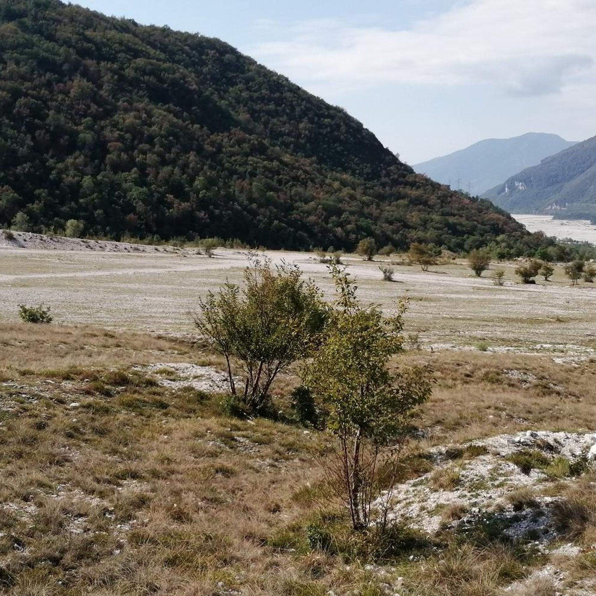
The region is renowned for its significant geological features. The Rivoli Bianchi debris cone, situated at the base of Mount Amariana, is recognized as one of Europe's largest active alluvial cones. Its rock formations, primarily Main Dolomite from the Triassic period, display layers indicative of ancient deep-sea and lagoon environments, making it a site of international geological interest.
Are there any routes that combine historical sites with natural beauty?
Absolutely. The Mount Cumieli – Via Monte Ercole Trail loop from Ospedaletto / Ospedalèt is a great example, leading through historical sites like the Fort of Monte Ercole while offering scenic views. Another route, Via Monte Ercole Trail – Sant'Agnese Saddle loop from Ospedaletto / Ospedalèt, also connects historical elements with the natural beauty of the Sella di Sant'Agnese.
Most popular routes in Lago Minisini E Rivoli Bianchi
Most popular attractions in Lago Minisini E Rivoli Bianchi

Get inspired with the komoot mobile app


Explore more
Browse the best Hikes in other regions.
