The best mountain hikes in Biotop Kalterer See - Biotopo Lago Di Caldaro
4.7
(27)
251
hikers
20
hikes
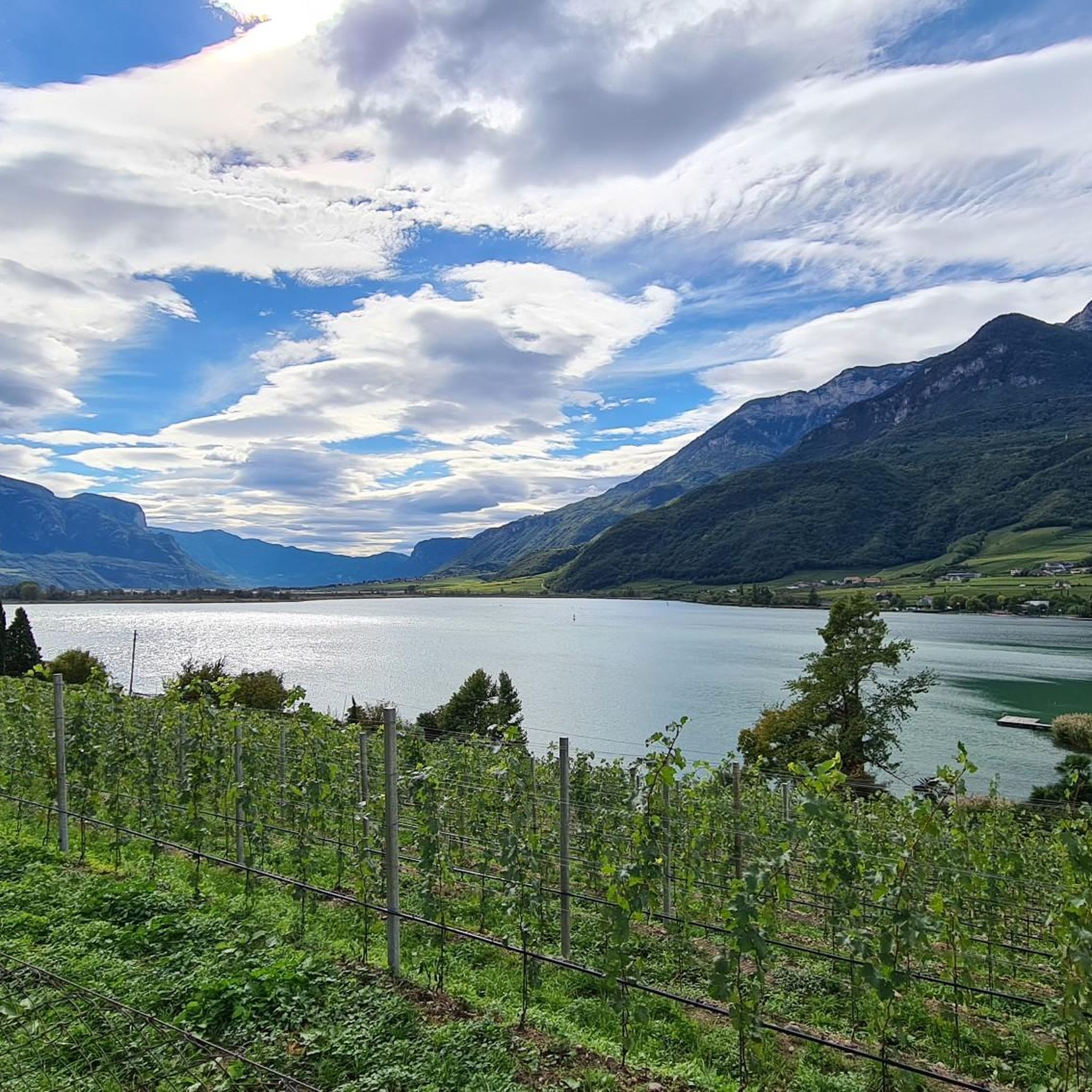
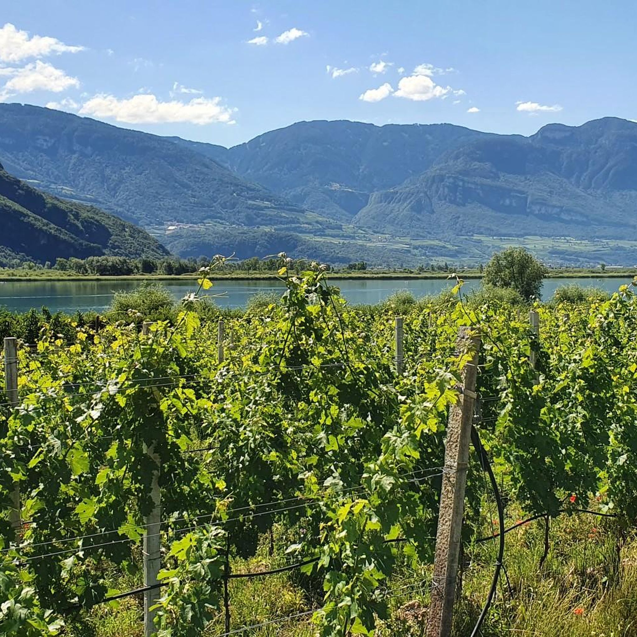
Mountaineering routes in Biotop Kalterer See - Biotopo Lago Di Caldaro are defined by the dramatic Mendel Ridge, which forms a mountainous backdrop to Lake Kaltern. The region features prominent peaks such as Mount Mendola and Mount Roen, offering extensive panoramic views. The landscape includes protected wetlands, rolling vineyards, and the wild Rastenbach Gorge, providing varied terrain for mountain activities. This area offers a range of options from challenging mountain hikes to technical via ferratas.
Best mountaineering routes in Biotop…
Last updated: July 4, 2026
3
hikers
Moderate mountaineering route. Good fitness required. Mostly accessible paths. Sure-footedness required.
7
hikers
Moderate mountaineering route. Good fitness required. Easily-accessible paths. Suitable for all skill levels.

Sign up for free
5.0
(1)
6
hikers
Hard mountaineering route. Very good fitness required. Mostly accessible paths. Sure-footedness required.
3
hikers
Moderate mountaineering route. Good fitness required. Mostly accessible paths. Sure-footedness required.
5.0
(3)
19
hikers
15.7km
07:12
1,140m
1,150m
Hard mountaineering route. Very good fitness required. Sure-footedness, sturdy shoes and alpine experience required.
Get access to more routes and recommendations from other explorers.
Sign up for free
Already have an account?
Our route recommendations are based on thousands of hikes, rides, and runs completed by other people on komoot.
Start today with a free account
Your next adventure awaits.
Login or Signup
Popular around Biotop Kalterer See - Biotopo Lago Di Caldaro
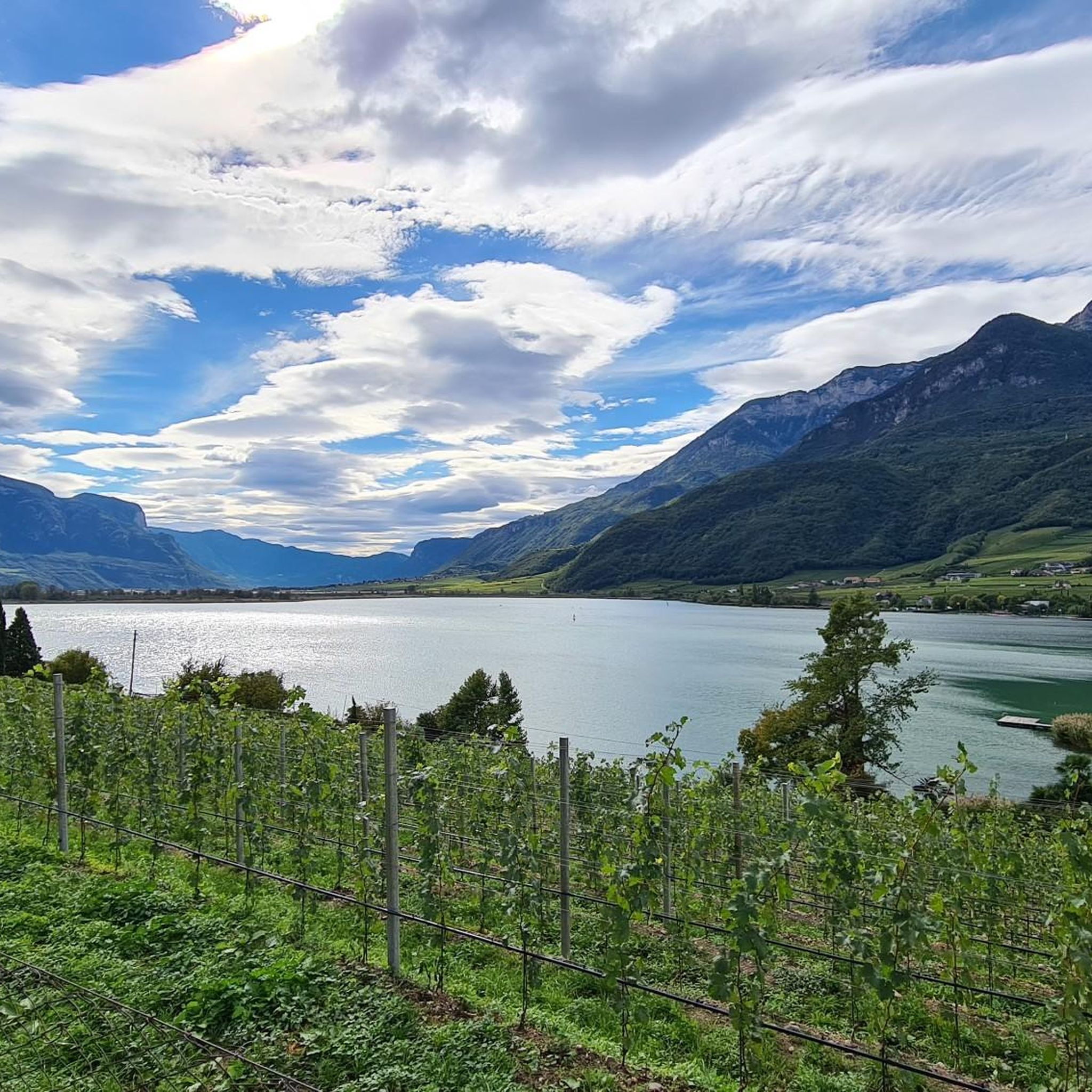
Cycling in Biotop Kalterer See - Biotopo Lago Di Caldaro
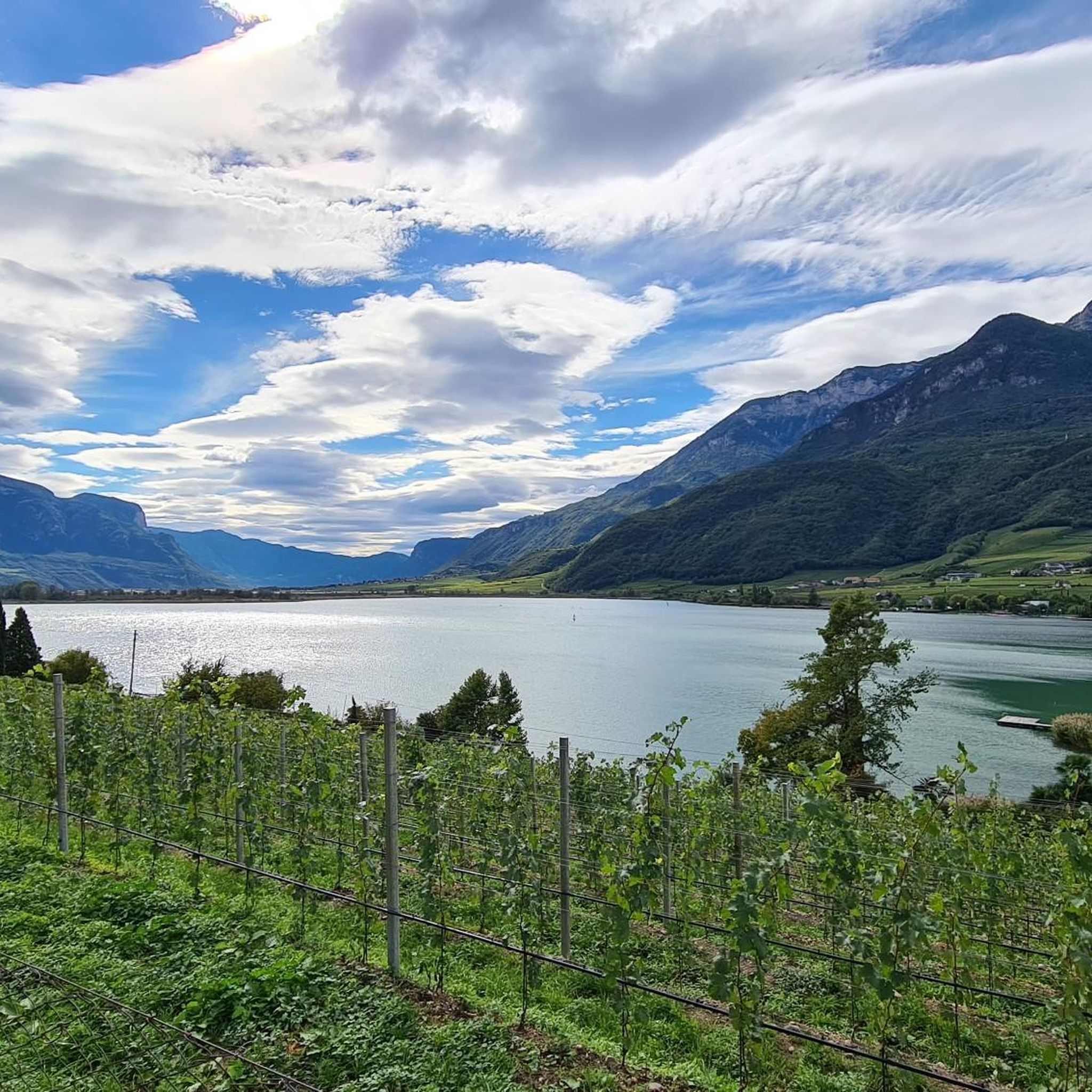
MTB Trails in Biotop Kalterer See - Biotopo Lago Di Caldaro
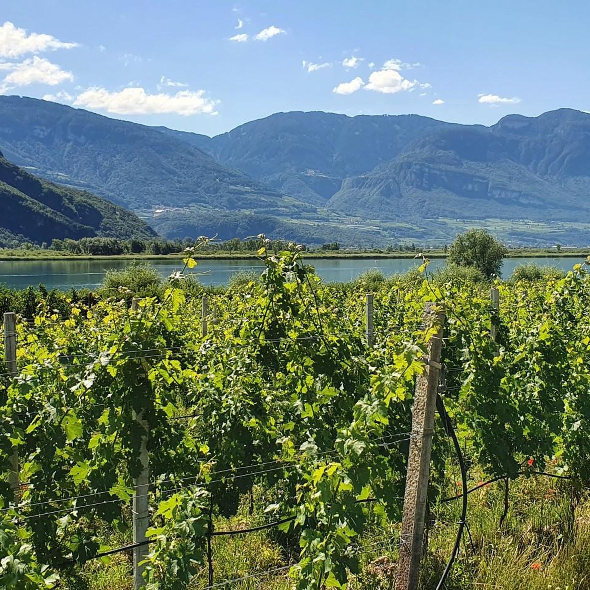
Hiking in Biotop Kalterer See - Biotopo Lago Di Caldaro
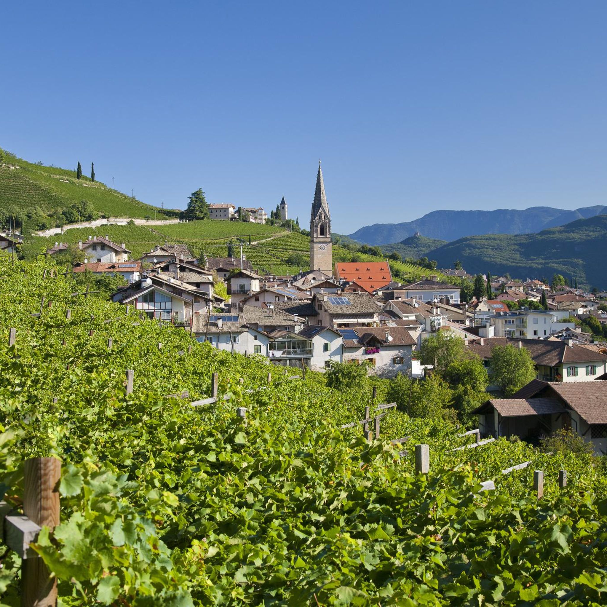
Gravel biking in Biotop Kalterer See - Biotopo Lago Di Caldaro
Road Cycling Routes in Biotop Kalterer See - Biotopo Lago Di Caldaro
Running Trails in Biotop Kalterer See - Biotopo Lago Di Caldaro
Tips from the Community

This is not for MTB. You have to look to master this path on foot
0
0


With its 86-meter-high, entirely brick tower, the parish church of Tramin is not only the spiritual center of the village, but also an architectural gem: It boasts the highest brick church tower in Tyrol. Source: https://www.tramin.com/de/pfarrkirche/
2
0

The Mendelbahn also transports bicycles
1
0

delicious ice cream in Tramin at the market square
1
0

The photos don't promise too much. Great here.
2
0

An up and down of metal stairways and walkways
1
0

spectacular views of the lake..
2
1
Frequently Asked Questions
How many mountaineering routes are available in Biotop Kalterer See - Biotopo Lago Di Caldaro?
There are over 20 mountaineering routes in the Biotop Kalterer See - Biotopo Lago Di Caldaro region. These routes range from moderate ascents to more challenging, technical climbs.
What are the difficulty levels of mountaineering routes in this region?
The mountaineering routes in Biotop Kalterer See - Biotopo Lago Di Caldaro are primarily moderate to difficult. You'll find 11 moderate routes and 12 difficult routes, offering options for various skill levels beyond beginner.
Are there any circular mountaineering routes in Biotop Kalterer See - Biotopo Lago Di Caldaro?
Yes, several circular routes are available. For example, the Rastenbach Gorge Waterfall – View of Lake Caldaro loop from Kalterer See - Lago di Caldaro is a moderate 6.2 km loop that takes you through the wild Rastenbach Gorge. Another option is the Lenzhof Shrine – Grauner Kirchweg loop from Tramin an der Weinstraße - Termeno sulla Strada del Vino, a moderate 11 km route.
What natural features or landmarks can I expect to see along the mountaineering routes?
Mountaineering routes in this region offer diverse scenery. You can expect dramatic views of the Mendel Ridge, Lake Kaltern, and the wild Rastenbach Gorge. Specific highlights include the Lake Kaltern itself, and the Birdwatching Tower at Lake Caldaro Nature Reserve, which offers panoramic views. The surrounding landscape also features picturesque vineyards and orchards.
Are there any routes that feature waterfalls?
Yes, the Rastenbach Gorge Waterfall – View of Lake Caldaro loop from Kalterer See - Lago di Caldaro is a popular moderate route that leads directly through the wild Rastenbach Gorge, where you can experience its impressive waterfalls. Another option is the View of Lake Caldaro – Rastenbachklamm Waterfall loop from Tramin an der Weinstraße - Termeno sulla Strada del Vino.
What do other mountaineers enjoy most about mountaineering in Biotop Kalterer See - Biotopo Lago Di Caldaro?
The area is highly rated by the komoot community, with an average score of 4.7 stars from over 60 reviews. Mountaineers often praise the dramatic mountain backdrops, the varied terrain that includes protected wetlands and vineyards, and the extensive panoramic views from elevated points like Mount Mendola and Mount Roen.
What is the best time of year for mountaineering in this region?
While the immediate biotope is known for its warm lake, the surrounding mountainous areas are best for mountaineering during the warmer months, typically from spring through autumn. This avoids winter conditions that can make higher mountain routes challenging or inaccessible. Always check local weather and trail conditions before heading out.
Are there any challenging via ferrata routes in the area?
Yes, for experienced mountaineers, there is a challenging via ferrata. The Lavinaspitze Above Caldaro – Via Ferrata Monte Roen loop from St.Anton - Sant'Antonio frazione di Caldaro is a difficult 27.6 km route that includes a technical via ferrata section, typically taking over 11 hours to complete.
Can I reach mountaineering trailheads using public transport?
The region around Biotop Kalterer See - Biotopo Lago Di Caldaro is generally well-connected. While specific public transport access points for every mountaineering trailhead vary, many towns and villages like Caldaro (Kaltern) and Tramin an der Weinstraße (Termeno sulla Strada del Vino) serve as starting points and are accessible by local bus services. It's advisable to check local transport schedules for specific route access.
Are there opportunities for birdwatching along the mountaineering routes?
While the primary focus of mountaineering is higher terrain, the region's unique ecosystem, especially the Kalterer Lake biotope, is a significant birdwatching area. Over 100 bird species have been identified here. Some mountaineering routes may offer glimpses of this rich wildlife, particularly those that traverse lower elevations or offer views towards the lake. The Birdwatching Tower at Lake Caldaro Nature Reserve is a dedicated spot for this activity.
What is the longest mountaineering route in the area?
The longest mountaineering route listed is the Lavinaspitze Above Caldaro – Via Ferrata Monte Roen loop from St.Anton - Sant'Antonio frazione di Caldaro, which spans 27.6 kilometers and involves a significant elevation gain, making it a full-day endeavor for experienced mountaineers.
Most popular routes in Biotop Kalterer See - Biotopo Lago Di Caldaro
Most popular attractions in Biotop Kalterer See - Biotopo Lago Di Caldaro

Get inspired with the komoot mobile app


Explore more
Browse the best Mountain Hikes & Routes in other regions.
