Réserve Biologique Intégrale De Merdassiers Nant Pareux
Réserve Biologique Intégrale De Merdassiers Nant Pareux
The best mountain hikes in Réserve Biologique Intégrale De Merdassiers Nant Pareux
4.8
(24)
233
hikers
17
hikes
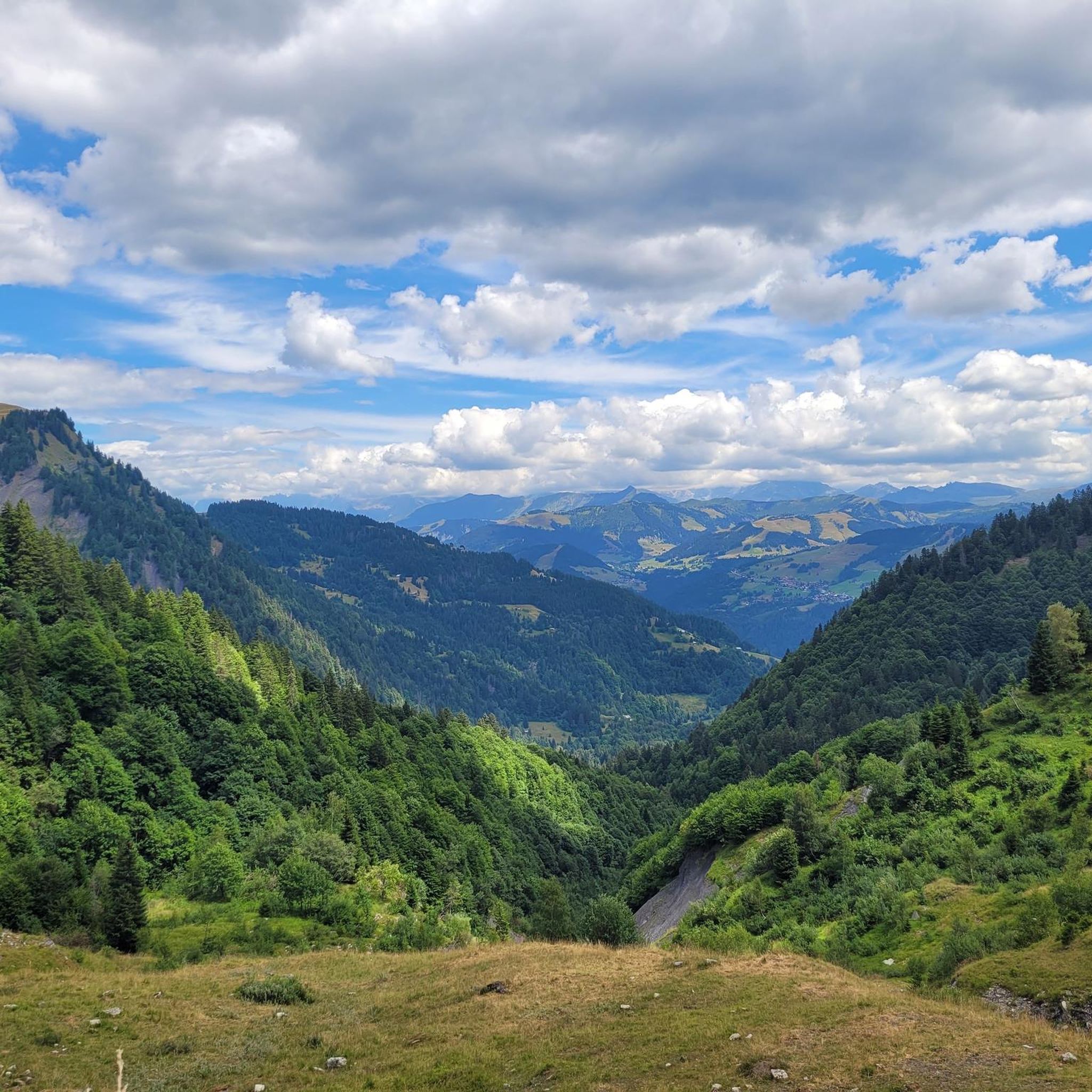
Mountaineering in Réserve Biologique Intégrale De Merdassiers Nant Pareux offers access to the rugged terrain of the eastern Aravis mountain range in Savoie, France. This region is characterized by significant peaks such as Treu and Trois Aiguilles, and lies within the upper Flon valley. While the integral biological reserve itself is dedicated to natural evolution, the surrounding Aravis massif provides a backdrop for alpine pursuits. The landscape features diverse flora and fauna within a protected mountainous environment.
Best mountaineering routes…
Last updated: July 11, 2026
5.0
(3)
15
hikers
10.6km
06:22
960m
960m
Hard mountaineering route. Very good fitness required. Sure-footedness, sturdy shoes and alpine experience required.
4.0
(3)
14
hikers
14.8km
07:08
1,270m
1,270m
Hard mountaineering route. Very good fitness required. Sure-footedness, sturdy shoes and alpine experience required.

Sign up for free
5.0
(1)
16
hikers
13.0km
05:21
990m
990m
Hard mountaineering route. Very good fitness required. Sure-footedness, sturdy shoes and alpine experience required.
4.3
(3)
14
hikers
11.8km
04:57
880m
880m
Hard mountaineering route. Good fitness required. Sure-footedness, sturdy shoes and alpine experience required.
5.0
(2)
74
hikers
4.97km
03:01
460m
460m
Hard mountaineering route. Good fitness required. Sure-footedness, sturdy shoes and alpine experience required.
Get access to more routes and recommendations from other explorers.
Sign up for free
Already have an account?
Our route recommendations are based on thousands of hikes, rides, and runs completed by other people on komoot.
Start today with a free account
Your next adventure awaits.
Login or Signup
Popular around Réserve Biologique Intégrale De Merdassiers Nant Pareux
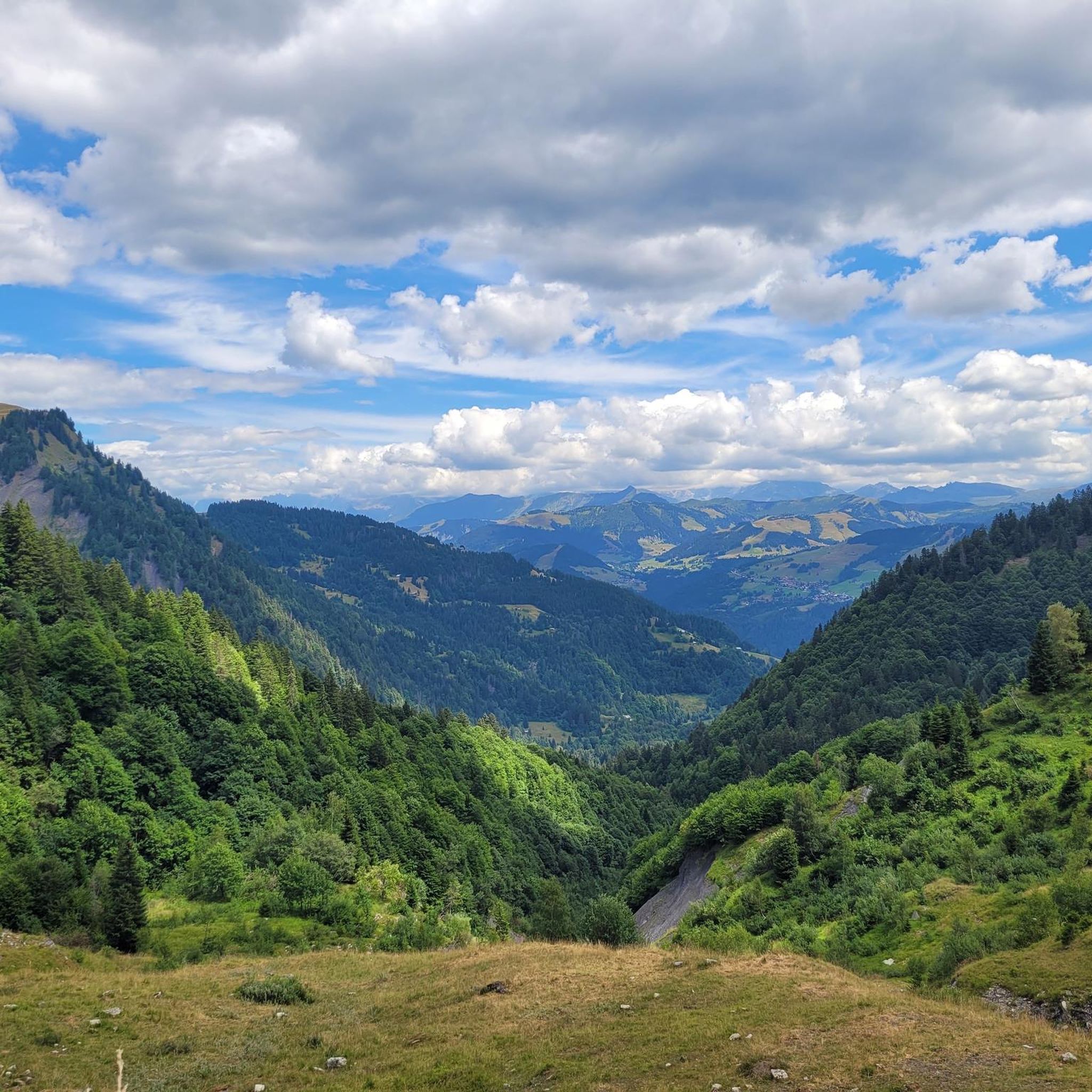
Road Cycling Routes in Réserve Biologique Intégrale De Merdassiers Nant Pareux
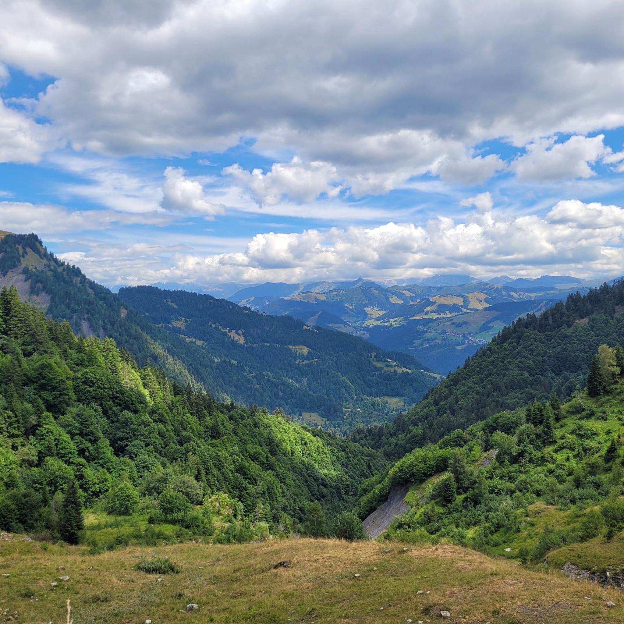
MTB Trails in Réserve Biologique Intégrale De Merdassiers Nant Pareux
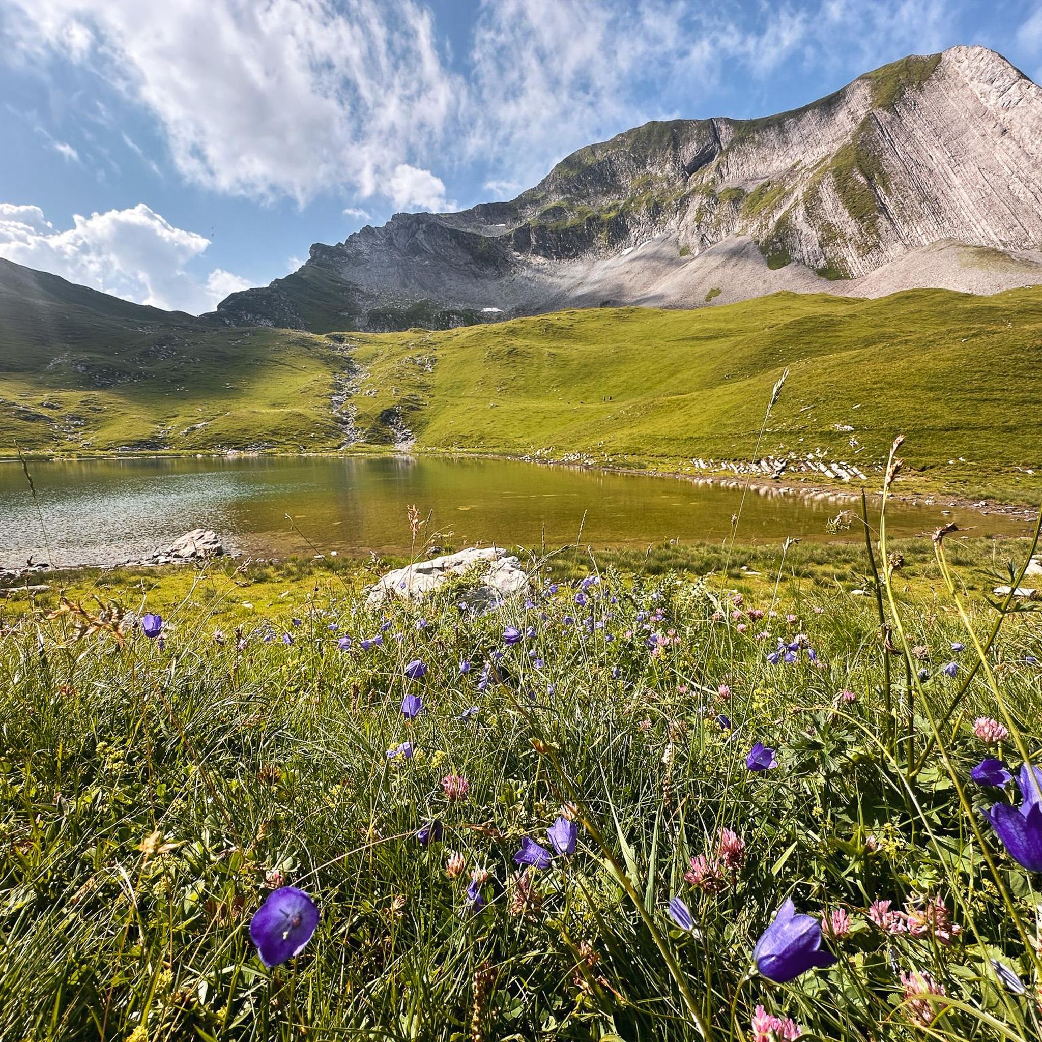
Hiking in Réserve Biologique Intégrale De Merdassiers Nant Pareux

Gravel biking in Réserve Biologique Intégrale De Merdassiers Nant Pareux
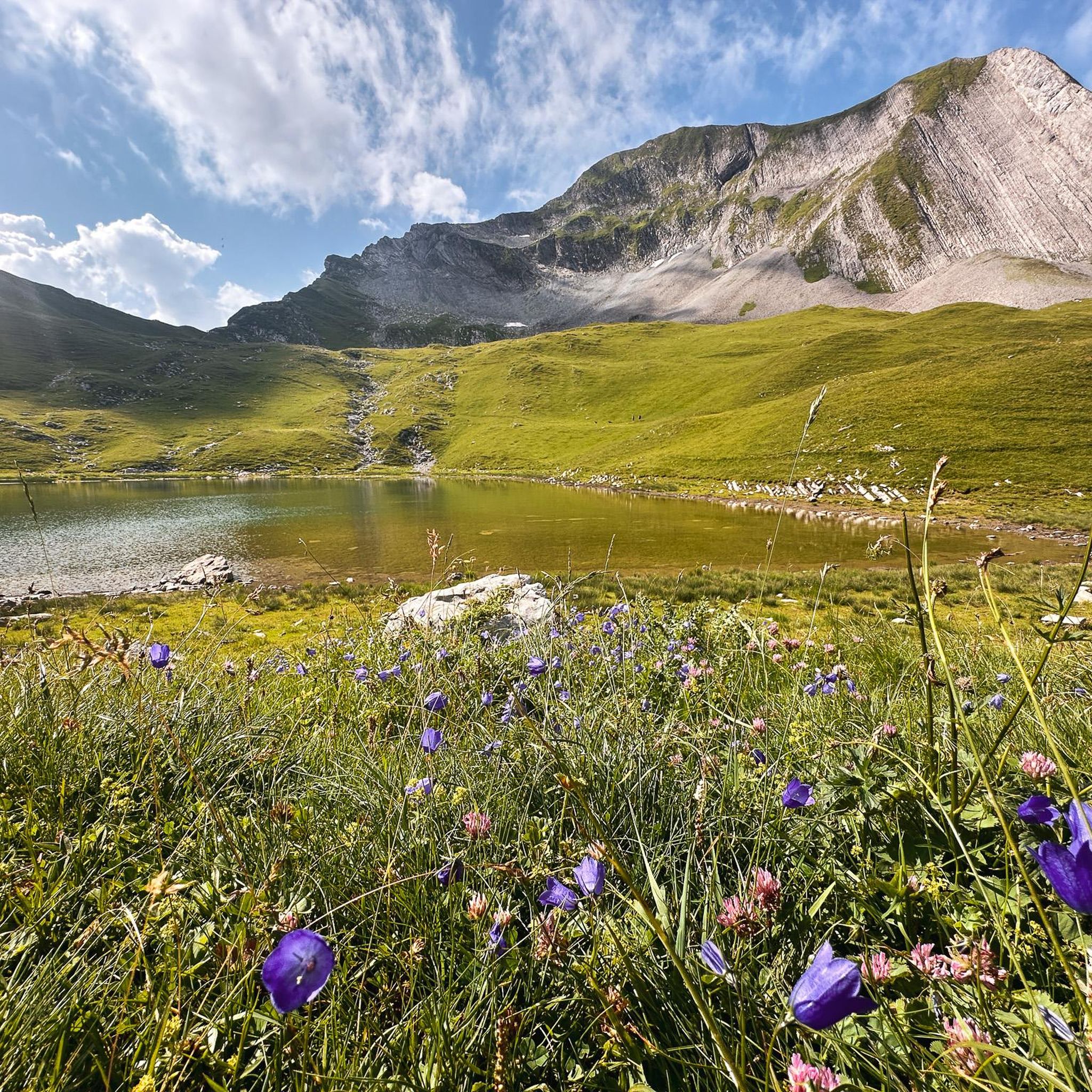
Running Trails in Réserve Biologique Intégrale De Merdassiers Nant Pareux
Cycling in Réserve Biologique Intégrale De Merdassiers Nant Pareux
Tips from the Community

Nice small pass, decent but steady climb. Great views and a nice restaurant at the pass, Refuge Auberge du Col de l'Arpettaz
3
0

Little-known and little-frequented pass, the climb is done alone and without a sound in the forest. The view is magnificent and on arrival, the refuge allows you to have a small drink (⚠️payment by species only). The road is in poor condition and it can be disturbing on the way down. If you have a Gravel and courage, the thirst route (Gravel/mountain bike path) allows you to reach the Col des Aravis and is magnificent. Enjoy your climb and for more advice, follow us on Komoot and Instagram @chouchou_team
1
0

This mountain pass is located at 1,581 meters in the Aravis massif. Located between Mont Charvin and Mont Blanc, it offers magnificent views. Several variations of ascent allow you to reach it by crossing spectacular landscapes.
1
1

Beautiful, not too difficult and long (700m) ferrata above the ski resort of La Clusaz. The via ferrata crosses the Rocher de Borderan with a slight climb, has a beautiful bridge and also a very difficult exit variant (D/E). Without this, the difficulties are limited, apart from a short B/C point soon after starting. Generally a worthwhile via ferrata destination in France, which can be easily combined with the other two via ferratas near Thones. (https://www.bergstieg.com/touren/klettersteig/via-ferrata-la-yves-pollet-villard/)
3
0

Sublime place for a stopover or better, to sleep ⛺️
1
0

At the foot of Mont-Charvin, in the Aravis massif, is this refuge that has an exceptional view of the Mont-Blanc mountain range.
0
0
The Arpettaz Refuge at the foot of Mont-Charvin, is a mountain hut/restaurant on the outskirts of Savoie, Haute-Savoie, in the middle of mountain pastures at 1581 m. on the Col d'Arpettaz. From the refuge and the col there are exceptional views of the Mont-Blanc mountain range.
2
0

The first part of the via ferrata has a few slippery points from all the abrasions, I recommend picking your shoes that have the most grip for that.
1
0
Frequently Asked Questions
How many mountaineering routes are available in the Réserve Biologique Intégrale De Merdassiers Nant Pareux area?
There are 19 mountaineering routes in the broader Réserve Biologique Intégrale De Merdassiers Nant Pareux area, offering a range of experiences for different skill levels.
What is the overall difficulty level of mountaineering routes in this region?
The routes in this area cater to various skill levels. You'll find 2 easy routes, 10 moderate routes, and 7 challenging difficult routes, ensuring options for both beginners and experienced mountaineers.
Are there any specific regulations or restrictions for mountaineering within the Réserve Biologique Intégrale De Merdassiers Nant Pareux?
The Réserve Biologique Intégrale De Merdassiers Nant Pareux is an integral biological reserve dedicated to the 'libre évolution naturelle' (free natural evolution) of its ecosystems. While direct intervention is prohibited within the integral reserve itself, the surrounding Aravis massif offers extensive mountaineering opportunities. It's crucial to respect all local signage and conservation efforts, as the area is vital for biodiversity. Always stay on marked paths and avoid disturbing wildlife.
What do other mountaineers say about the routes in the Réserve Biologique Intégrale De Merdassiers Nant Pareux area?
The mountaineering routes in this region are highly regarded by the komoot community, holding an impressive average rating of 4.8 stars from over 20 reviews. Mountaineers often praise the challenging ascents, diverse mountain ecosystems, and the stunning high alpine peaks.
Are there any circular mountaineering routes available?
Yes, several routes in the area are circular, allowing you to start and finish at the same point. For example, you could explore the challenging Mont Charvin – Mont Charvin Lake loop from Sous l'Aiguille, which is a 9.2-mile (14.8 km) path leading to alpine lakes, or the Lac du Champ Tardif loop from Sous l'Aiguille, an 8.1-mile (13.0 km) trail through varied alpine terrain.
Can I find routes that include a via ferrata?
Yes, for those seeking a more technical challenge, there is a Via Ferrata loop from Col des Aravis. This difficult 3-mile (4.8 km) route offers a unique mountaineering experience with fixed cables and ladders.
What kind of terrain can I expect on mountaineering routes here?
The terrain is characterized by high alpine peaks, challenging ascents, and diverse mountain ecosystems. You'll encounter rugged paths, steep climbs, and potentially rocky sections, especially on the more difficult routes. The region is at the foot of prominent peaks like Treu and Trois Aiguilles, within the upper Flon valley, offering a true alpine experience.
Are there any routes suitable for advanced mountaineers looking for a significant challenge?
Absolutely. The region is known for its challenging routes. Consider the Mont Charvin – Green and black ! loop from Mont Charvin, a difficult 6.6-mile (10.6 km) trail with significant elevation gain and panoramic views, or the Bear's Pass – Mont Charvin Lake loop from Sous l'Aiguille, another difficult 7.4-mile (11.8 km) option.
What is the best time of year for mountaineering in this region?
The best time for mountaineering typically depends on snow conditions and weather. Generally, late spring through early autumn offers the most favorable conditions, with less snow at higher altitudes and more stable weather. However, always check local forecasts and trail conditions before heading out, as alpine weather can change rapidly.
Can I bring my dog on mountaineering routes in the Réserve Biologique Intégrale De Merdassiers Nant Pareux?
While the broader Aravis massif offers many dog-friendly trails, specific regulations may apply within the integral biological reserve itself due to its conservation status. It is essential to check local signage and official park guidelines regarding pets. If dogs are permitted, they should always be kept on a leash to protect wildlife and ensure their safety in rugged terrain.
Are there any notable natural features or landmarks to look out for?
The region is rich in natural beauty, situated at the foot of several prominent peaks including Treu, Trois Aiguilles, Tête de l'Aulp, Rouelle, and Goenne. The upper Flon valley itself offers breathtaking mountainous scenery. Many routes lead to alpine lakes, such as those found on the Mont Charvin – Mont Charvin Lake loop or the Lac du Champ Tardif loop, providing stunning views and serene resting spots.
Most popular routes in Réserve Biologique Intégrale De Merdassiers Nant Pareux

Get inspired with the komoot mobile app


Explore more
Browse the best Mountain Hikes & Routes in other regions.
