The best road cycling routes in Riserva Naturale Mont Mars
4.3
(46)
764
riders
7
rides
Road cycling routes in Riserva Naturale Mont Mars are situated within the Aosta Valley, characterized by a diverse landscape ranging from 1670 meters to 2600 meters. The terrain features glacial origins, with terraced rock basins, forests, alpine meadows, and higher rocky peaks. Regional roads provide access to and around the reserve's entry points, offering varied climbs and descents. This mountainous region provides a challenging environment for road cyclists.
Best road cycling routes in Riserva Naturale Mont Mars
- The most popular…
Last updated: October 22, 2026
5.0
(1)
9
riders
8.91km
00:36
290m
290m
Easy road ride. Great for any fitness level. Mostly well-paved surfaces and easy to ride.
12
riders
21.9km
01:10
370m
370m
Moderate road ride. Good fitness required. Mostly well-paved surfaces and easy to ride.

5.0
(1)
41
riders
35.8km
01:55
610m
610m
Moderate road ride. Good fitness required. Some segments of this route may be unpaved and difficult to ride.
4.0
(1)
6
riders
24.5km
01:32
500m
500m
Moderate road ride. Good fitness required. Some segments of this route may be unpaved and difficult to ride.
7
riders
27.7km
01:36
540m
540m
Moderate road ride. Good fitness required. Some segments of this route may be unpaved and difficult to ride.
Get access to more routes and recommendations from other explorers.
Already have an account?
Our route recommendations are based on thousands of hikes, rides, and runs completed by other people on komoot.
Start today with a free account
Your next adventure awaits.
Popular around Riserva Naturale Mont Mars

Alta Via n. 1 of the Aosta Valley — a walk among Italian giants

A walk among Italian giants — Aosta Valley High Route 1
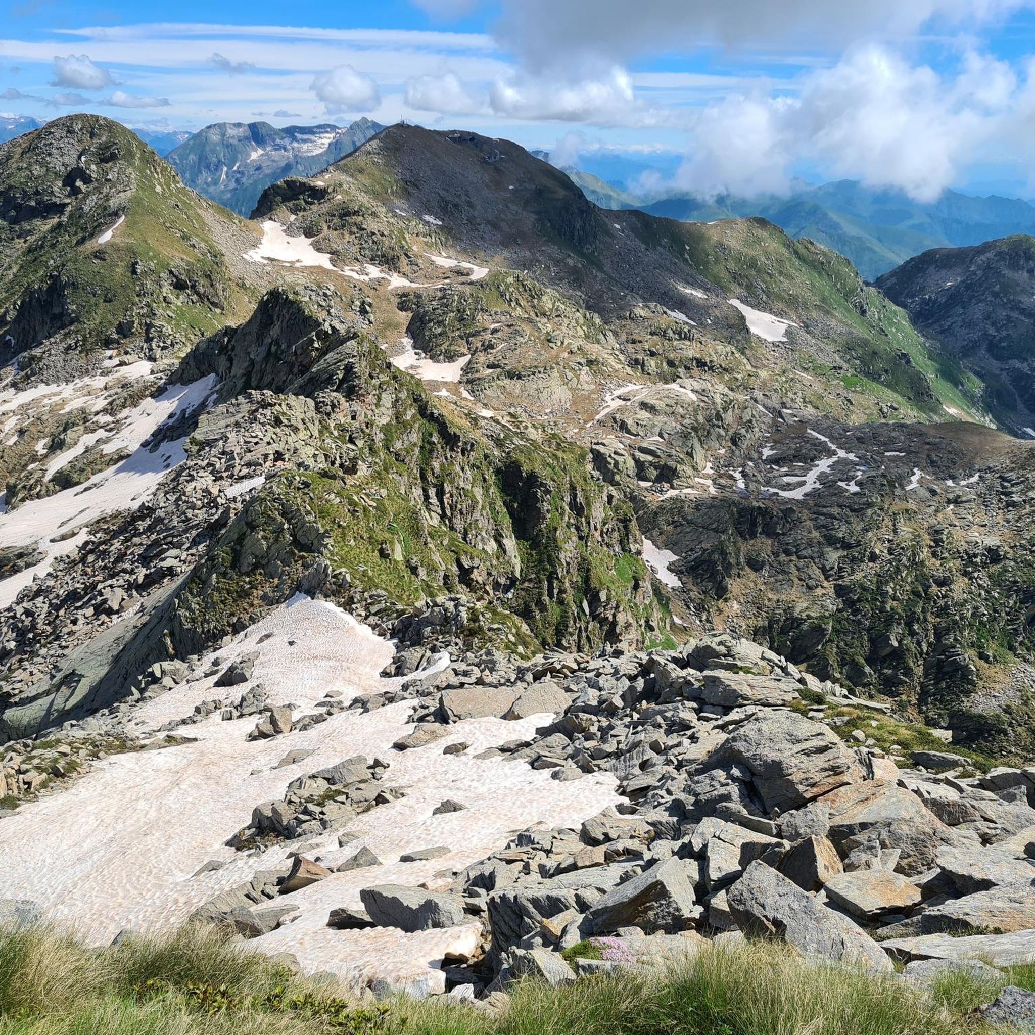
Hiking in Riserva Naturale Mont Mars
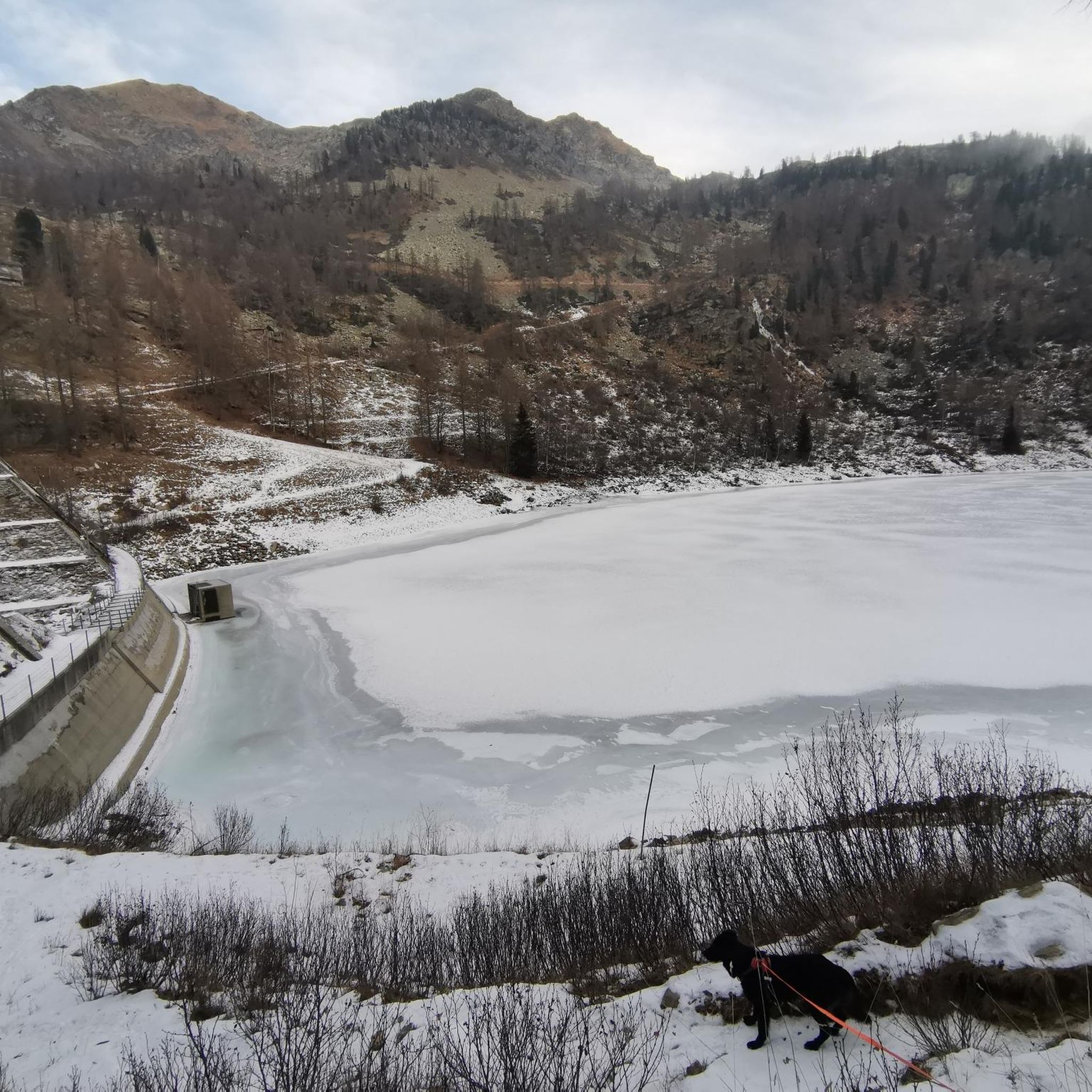
Running Trails in Riserva Naturale Mont Mars
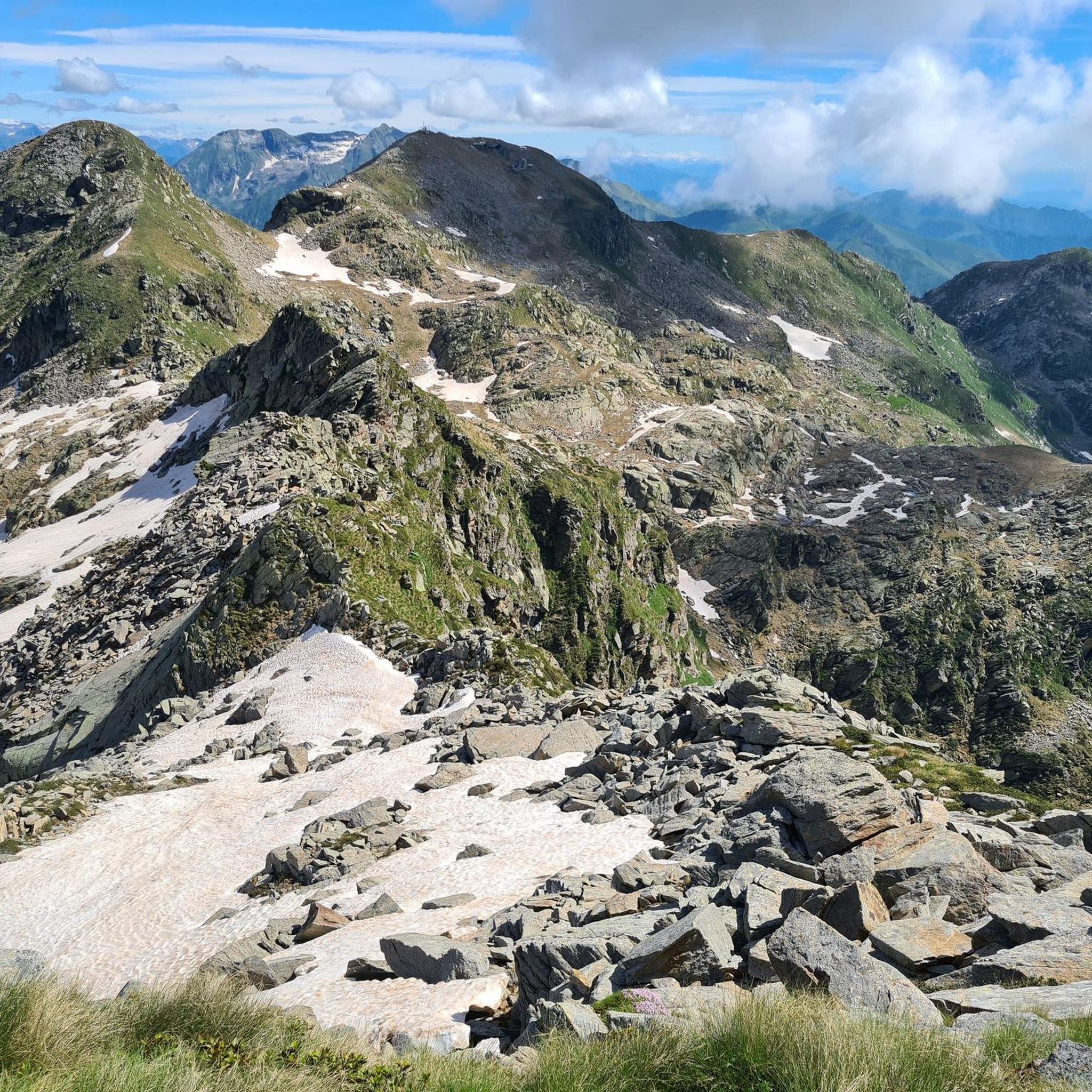
Cycling in Riserva Naturale Mont Mars
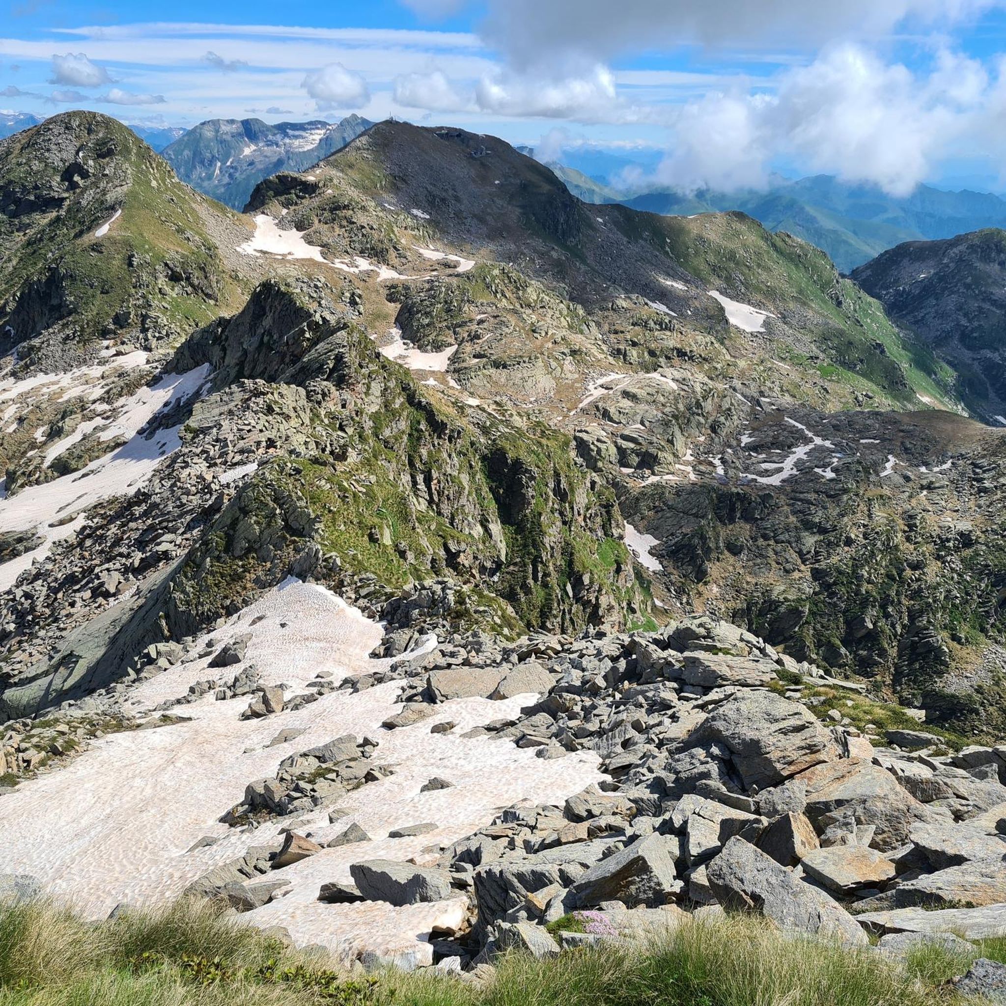
MTB Trails in Riserva Naturale Mont Mars

Gravel biking in Riserva Naturale Mont Mars
Mountain Hikes in Riserva Naturale Mont Mars
Other adventures in Riserva Naturale Mont Mars


Tips from the Community

Past the Sanctuary on the climb leading to the Rosazza tunnel
0
0

from this point the ascent towards Galleria Rosazza begins
0
0

Made in May 2026, ascent from Oropa descent to Sagliano, wonderful work to fix the descent. ATTENTION, as obvious as it may seem, the tunnel is really VEERY DARK!! Equip yourself with a powerful light that helps you see well where you are going because there are sections with holes, especially if you are on a road bike. Otherwise, wonderful.
1
0

Very pretty and scenic tempietto built on the bend of the road
1
1
Edicola in neoclassical Ionic style by Architect Maffei on commission from Senator Federico Rosazza
1
0

The Monument to Pietro Micca is a celebratory and historical-patriotic work located in the municipality of Sagliano Micca, in the province of Biella (Piedmont).
14
0

Stunning views of the Gressoney Valley
0
0

Frequently Asked Questions
What kind of terrain can I expect when road cycling in Riserva Naturale Mont Mars?
The Riserva Naturale Mont Mars, located in the Aosta Valley, offers a diverse landscape with significant elevation changes. You'll encounter varied climbs and descents, characteristic of a mountainous region with glacial origins. Expect to cycle through terraced rock basins, forested sections, and alpine meadows, with regional roads providing access to and around the reserve's entry points.
How many road cycling routes are available in Riserva Naturale Mont Mars?
There are over 10 road cycling routes available in Riserva Naturale Mont Mars, catering to various skill levels. These include routes ranging from easy to difficult, with options for both moderate and experienced riders.
Are there any easy road cycling routes for beginners or families?
Yes, there are routes suitable for beginners. For example, the Oropa side tunnel loop from Oropa is classified as easy, covering about 8.9 km with a moderate elevation gain. While the region is generally mountainous, this route offers a less challenging option.
What are some notable natural features or landmarks I might see while cycling?
The reserve is rich in natural beauty. You might encounter glacial lakes such as the Barma Lakes or the Upper Lago Lungo. The landscape also features dense larch and deciduous forests, alpine meadows, and higher rocky peaks, all within the protected Mont Mars Nature Reserve itself.
What do other road cyclists enjoy most about the routes in Riserva Naturale Mont Mars?
The routes in Riserva Naturale Mont Mars are highly rated by the komoot community, with an average score of 4.4 stars from over 60 reviews. Cyclists often praise the varied climbs and descents, the stunning alpine scenery, and the well-maintained paved roads that offer a challenging yet rewarding experience.
Is there public transport available to reach the Riserva Naturale Mont Mars area?
The region around Riserva Naturale Mont Mars, particularly the municipality of Fontainemore, is accessible via regional road n. 44. While specific public transport details for cyclists are not provided, Fontainemore serves as a key access point, and local services may connect to larger towns in the Aosta Valley.
Are there any specific regulations or permits required for road cycling within the reserve?
The Riserva Naturale Mont Mars is primarily known for its extensive hiking trails. While road cycling is noted as an activity in the broader Aosta Valley, specific regulations or permits for road cycling *within* the immediate reserve's protected areas are not detailed. Generally, road cycling occurs on regional roads leading to and around the reserve's entry points, such as the road towards Pian Coumarial.
Can I find circular road cycling routes in the area?
Yes, several routes are designed as loops. For instance, the challenging Oropa Climb – Pantani Mountain – Bottalino Fountain loop from Piedicavallo and the moderate Bocchetto Sessera Pass – Bielmonte loop from Piedicavallo are popular circular options, offering a complete experience without retracing your path.
What is the best time of year to go road cycling in Riserva Naturale Mont Mars?
Given the mountainous terrain and alpine climate, the best time for road cycling in Riserva Naturale Mont Mars is typically during the warmer months, from late spring through early autumn. This period offers more favorable weather conditions, with less chance of snow or ice at higher elevations, allowing for full access to the scenic routes.
Are there any facilities like cafes or restaurants near the cycling routes?
The region around Riserva Naturale Mont Mars, especially in and around villages like Fontainemore, offers amenities. While specific cafes directly on the cycling routes are not listed, you can expect to find places to eat and drink in the nearby hamlets and towns, which are often starting or ending points for rides.
What is the most challenging road cycling route in the area?
Among the more challenging routes, the Bocchetta di Margosio – Zegna Panoramic Road loop from Piedicavallo stands out. This difficult 69.8 km trail features significant elevation gain, leading through varied alpine terrain and typically taking over 4 hours to complete.
Where can I park my car when starting a road cycling tour?
Access to the Riserva Naturale Mont Mars area is often via regional road n. 44 leading to Fontainemore, and further up towards Pian Coumarial, which serves as a main access point. Parking facilities are generally available in these villages and at designated trailheads or access points to the reserve, though it's advisable to check specific locations for availability.
Most popular routes in Riserva Naturale Mont Mars
Most popular attractions in Riserva Naturale Mont Mars

Get inspired with the komoot mobile app


Explore more
Browse the best Road cycling routes in other regions.
