The best mountain hikes in Cima Fournier E Lago Nero
4.4
(10)
146
hikers
12
hikes
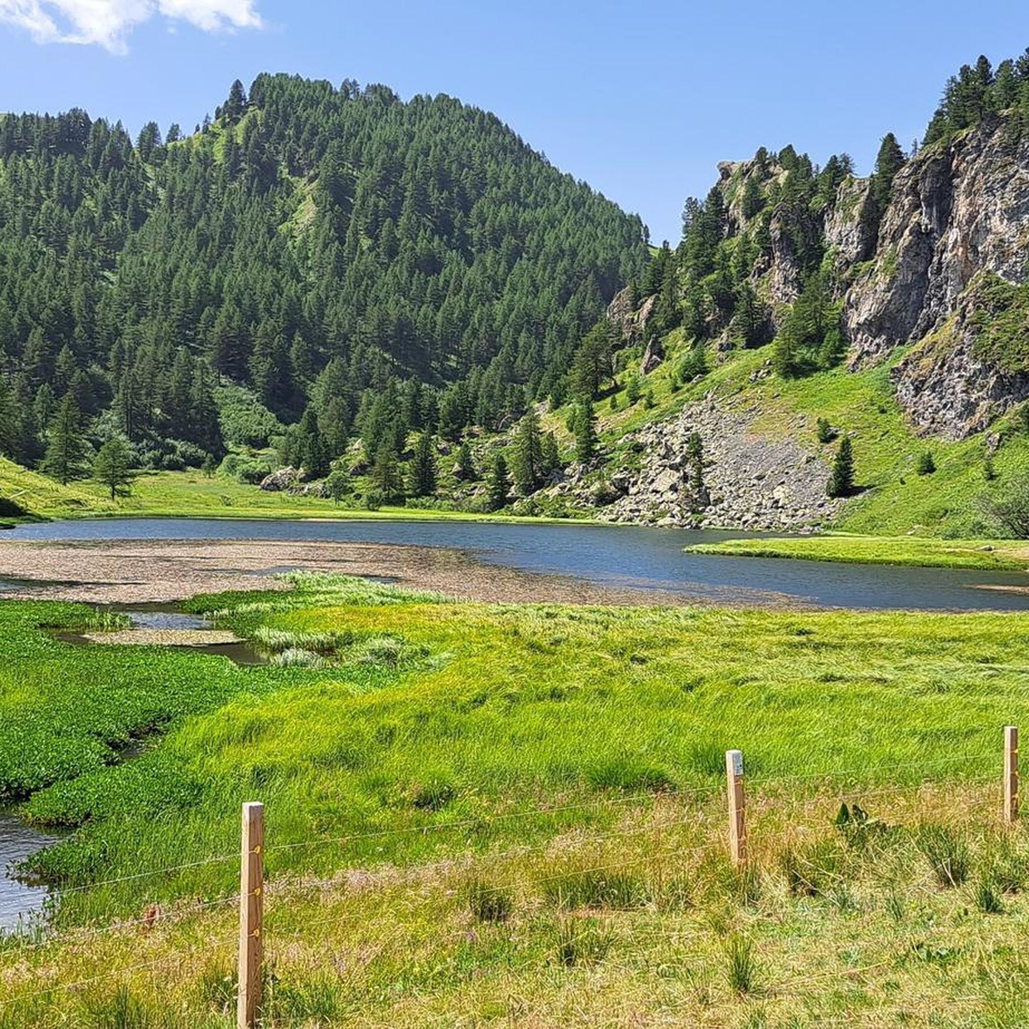
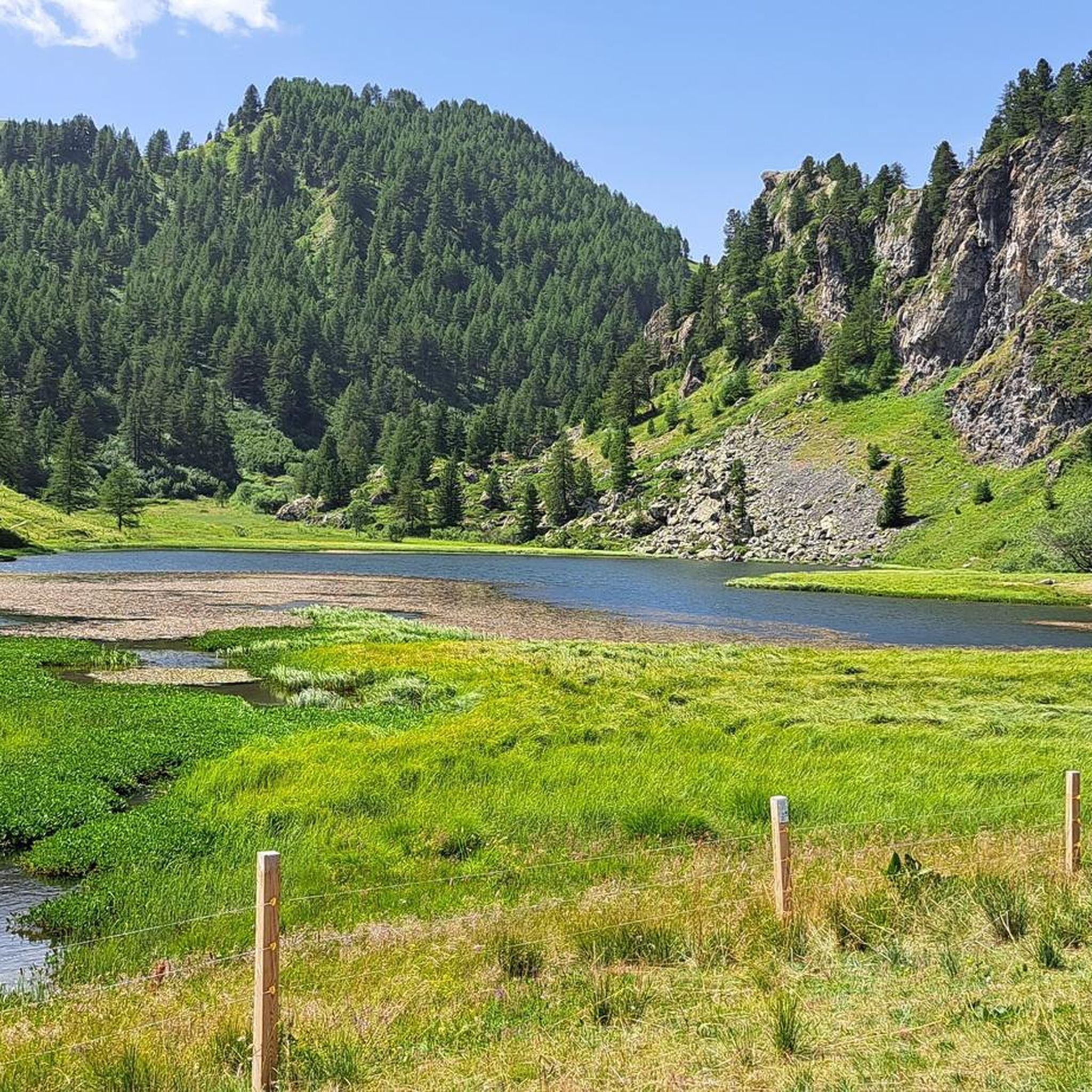
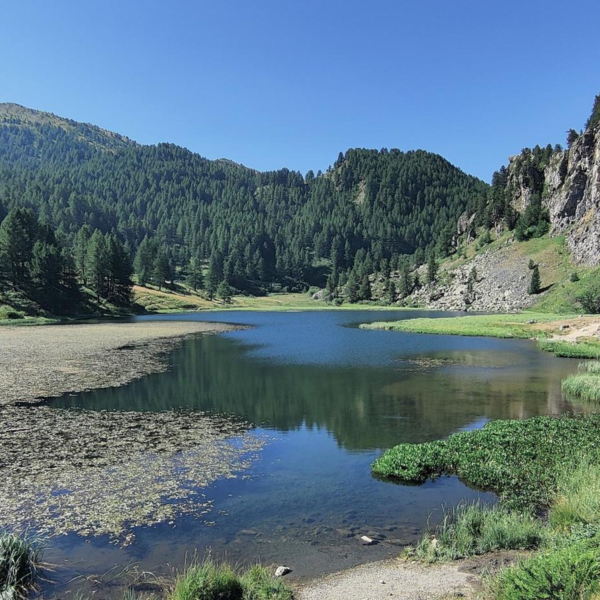
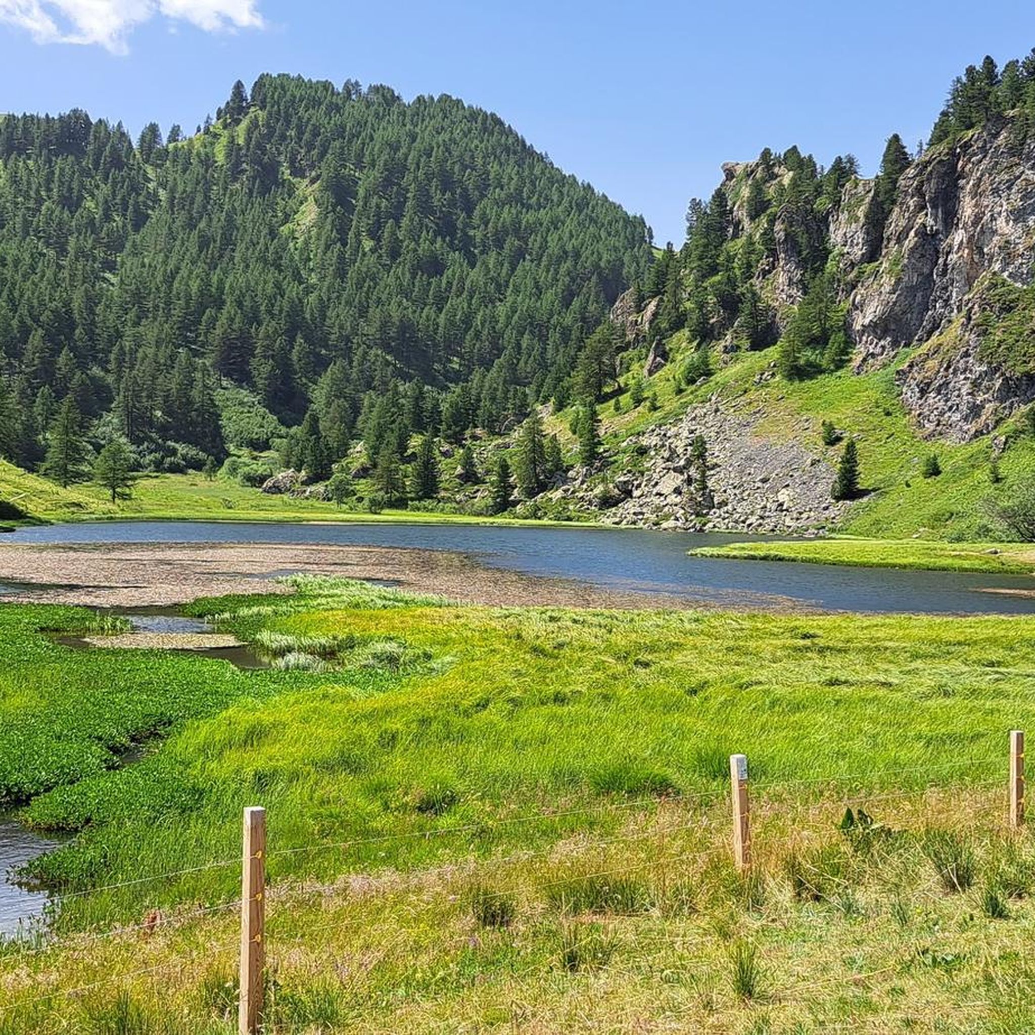
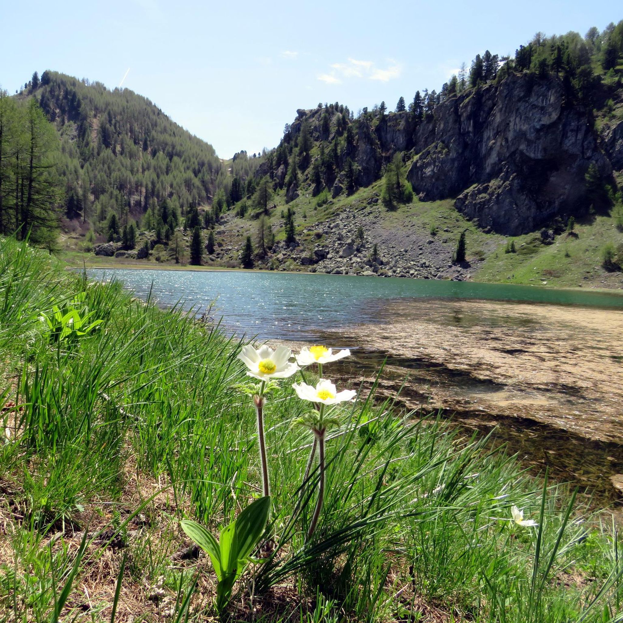
Mountaineering in Cima Fournier E Lago Nero, situated in the Susa Valley near Cesana Torinese, offers diverse alpine landscapes along the Italian-French border within the Queryas Massif. The region features varied terrain, from expansive clearings and gentle slopes to challenging ascents through sparse coniferous and larch forests. Cima Fournier stands at 2,424 meters (7,953 feet) with lean pastures, while Lago Nero is nestled in a plain, often approached via old military roads.
Best mountaineering routes in Cima Fournier E Lago Nero
- The most popular mountaineering route is Bivacco Matteo Corradini loop from Thures, a 9.0 miles (14.6 km) trail that takes 6 hours 54 minutes to complete. This difficult route offers a challenging loop experience towards the bivouac.
- Another top favourite among local mountaineers is Monte Giassiez loop from Thures, a difficult 12.0 miles (19.4 km) path. This route provides extensive views and a demanding ascent to Monte Giassiez.
- Local mountaineers also love the Mountaineering loop from Thures, an 11.3 miles (18.2 km) trail leading through varied alpine terrain, often completed in about 7 hours 33 minutes.
- Mountaineering in Cima Fournier E Lago Nero is defined by varied alpine terrain, sparse larch forests, and lean mountain pastures. The network offers options for different ability levels, though many routes are demanding.
- The routes in Cima Fournier E Lago Nero are highly rated by the komoot community with an average score of 4.5 stars from more than 20 reviews. More than 200 mountaineers have used komoot to explore Cima Fournier E Lago Nero's varied terrain.
Last updated: July 7, 2026
5.0
(2)
20
hikers
15.0km
07:03
1,210m
1,200m
Hard mountaineering route. Very good fitness required. Mostly accessible paths. Sure-footedness required.
5.0
(1)
10
hikers
19.5km
07:21
1,080m
1,090m
Hard mountaineering route. Very good fitness required. Mostly accessible paths. Sure-footedness required.

Sign up for free
11
hikers
18.2km
07:35
1,410m
1,410m
Hard mountaineering route. Very good fitness required. Mostly accessible paths. Sure-footedness required.
4.0
(1)
10
hikers
8.31km
03:59
690m
690m
Moderate mountaineering route. Good fitness required. Mostly accessible paths. Sure-footedness required.
4.0
(1)
30
hikers
6.22km
03:18
410m
410m
Hard mountaineering route. Good fitness required. Sure-footedness, sturdy shoes and alpine experience required.
Get access to more routes and recommendations from other explorers.
Sign up for free
Already have an account?
Our route recommendations are based on thousands of hikes, rides, and runs completed by other people on komoot.
Start today with a free account
Your next adventure awaits.
Login or Signup

Tips from the Community

It can be reached starting from Thures with a simple walk suitable for everyone
0
0
In order we find Lac du Fond then the Corradini Bivouac and the Dormillouse Peaks
0
0

Easy walk, low altitude difference and paths accessible to all. Fascinating springs of ferruginous water, very beautiful valley and landscape. Too bad there is no real destination to reach where you can stop to eat and rest a bit.
0
1

Very characteristic and pretty village both in winter and summer.
0
0

Peak on the Italian-French border, reachable from the municipality of Cesana starting from Rhuilles and passing by the Corradini bivouac below
0
0
Nice village of Cesana, where access by motor vehicles, lately, is allowed only to residents. If we want to go on an excursion that passes through here, we have to start 2 km before, at the beginning of the dirt road, on the bend of the road that goes to Thures
0
0

beautiful waterfall at the base of the start of the bunker via ferrata
0
0

Frequently Asked Questions
What is the general difficulty level of mountaineering routes in Cima Fournier E Lago Nero?
The mountaineering routes in Cima Fournier E Lago Nero are generally quite demanding, requiring good to very good physical fitness. Out of 16 available routes, 13 are classified as difficult. However, there are also 3 moderate options for those seeking less strenuous climbs.
Are there any circular mountaineering routes in the Cima Fournier E Lago Nero area?
Yes, the region offers several challenging circular routes. Popular options include the Bivacco Matteo Corradini loop from Thures, which is about 14.6 km long, and the Monte Giassiez loop from Thures, extending to 19.4 km. For a slightly shorter, yet still demanding, experience, consider the Mountaineering loop from Thures, an 18.2 km trail.
What are some interesting natural features or landmarks to see along the routes?
The area is rich in natural beauty and points of interest. You can visit the picturesque Lago Nero di Bousson, nestled in a plain with a small church nearby. Other notable natural features include the Clot Foiron Lakes and Laghetto Suriel. For a unique man-made monument, look for the Mirage Sphere by Emanuele Marullo at Cima Fournier.
Are there any easier mountaineering options for beginners or those looking for a moderate challenge?
While many routes are demanding, there are moderate options available. The Cima del Bosco loop from Thures is a good choice, classified as moderate with an 8.28 km distance and 690m elevation gain, requiring good fitness. This route offers a less strenuous climb compared to the more difficult ascents in the region.
Is it possible to find accommodation or places to eat near the trails?
Yes, the area provides some support for mountaineers. The Capanna Mautino Mountain Hut is located near Lago Nero and serves as a point of support. The village of Bousson often acts as a starting point for many trails, and nearby towns like Cesana Torinese, Claviere, and Sestriere offer various accommodation, cafe, and restaurant options for hikers.
What do other mountaineers enjoy most about the Cima Fournier E Lago Nero area?
The Cima Fournier E Lago Nero area is highly rated by the komoot community, with an average score of 4.5 stars. Reviewers often praise the diverse alpine landscapes, ranging from expansive clearings to challenging ascents through sparse larch forests, and the extensive views offered by routes like the Monte Giassiez loop.
What is the best time of year for mountaineering in Cima Fournier E Lago Nero?
The best time for mountaineering typically depends on snow conditions. While the region is renowned for both summer hiking and ski mountaineering, the varied terrain and higher elevations mean that late spring through early autumn generally offer the most favorable conditions for hiking and climbing. Winter provides opportunities for ski mountaineering, but requires specific gear and expertise.
Are there any specific climbing routes in the area?
Yes, for those interested in climbing, the Fungo Magico Climbing Route loop from Claviere is an option. This is considered a hard route with 460m of elevation gain, offering a distinct climbing experience within the region.
Is wild swimming permitted in Lago Nero or other lakes in the area?
While Lago Nero is a beautiful natural attraction, specific regulations regarding wild swimming can vary and are often subject to local environmental protection rules. It's advisable to check with local authorities or park information centers for current guidelines on swimming in Lago Nero and other alpine lakes like Lago Comba Nera or the Clot Foiron Lakes to ensure compliance and safety.
Where can I find parking when starting a mountaineering route?
The village of Bousson often serves as a convenient starting point for many trails leading towards Lago Nero and Cima Fournier. Parking is generally available in Bousson, with indications for various trailheads. It's always a good idea to arrive early, especially during peak season, to secure a spot.
What kind of terrain can I expect on the mountaineering routes?
The terrain in Cima Fournier E Lago Nero is highly varied. You can expect to traverse expansive clearings and gentle slopes, ascend through sparse coniferous and larch forests, and navigate more rugged sections, including lean pastures along the Italian-French border. Some approaches, particularly to Lago Nero, may follow old military roads.
Are there any historical sites or abandoned structures to explore?
Yes, the region has some interesting historical elements. You might encounter the Fonte Tana Abandoned Barracks and Purple Cow Mural, which offers a glimpse into the area's past and some unique art. Many routes also utilize old military roads, hinting at the region's historical significance.
Most popular routes in Cima Fournier E Lago Nero
Most popular attractions in Cima Fournier E Lago Nero

Get inspired with the komoot mobile app


Explore more
Browse the best Mountain Hikes & Routes in other regions.
