The best running trails in Riserva Naturale Dell'Orrido Di Foresto
4.8
(10)
669
runners
97
runs
Jogging in Riserva Naturale Dell'Orrido Di Foresto offers routes through a unique landscape characterized by a dramatic gorge carved by the Rocciamelone stream. The terrain transitions from xerophytic grasslands and calcareous bastions to pine forests, chestnut groves, and small larch woods at higher elevations. This Alpine region benefits from a distinct Mediterranean microclimate, supporting diverse flora. The varied ecosystems provide a range of environments for running.
Best jogging routes in Riserva Naturale Dell'Orrido Di Foresto
- The most popular jogging route…
Last updated: July 1, 2026
25
runners
15.2km
01:36
80m
80m
Hard run. Very good fitness required. Mostly paved surfaces. Suitable for all skill levels.
6
runners
4.81km
00:33
50m
50m
Easy run. Great for any fitness level. Mostly paved surfaces. Suitable for all skill levels.

Sign up for free
3
runners
6.95km
01:02
250m
250m
Hard run. Good fitness required. Sure-footedness, sturdy shoes and alpine experience required.
3
runners
6.42km
00:56
240m
240m
Hard run. Good fitness required. Sure-footedness, sturdy shoes and alpine experience required.
20
runners
12.7km
01:21
130m
130m
Moderate run. Good fitness required. Mostly paved surfaces. Suitable for all skill levels.
Get access to more routes and recommendations from other explorers.
Sign up for free
Already have an account?
Our route recommendations are based on thousands of hikes, rides, and runs completed by other people on komoot.
Start today with a free account
Your next adventure awaits.
Login or Signup
Popular around Riserva Naturale Dell'Orrido Di Foresto
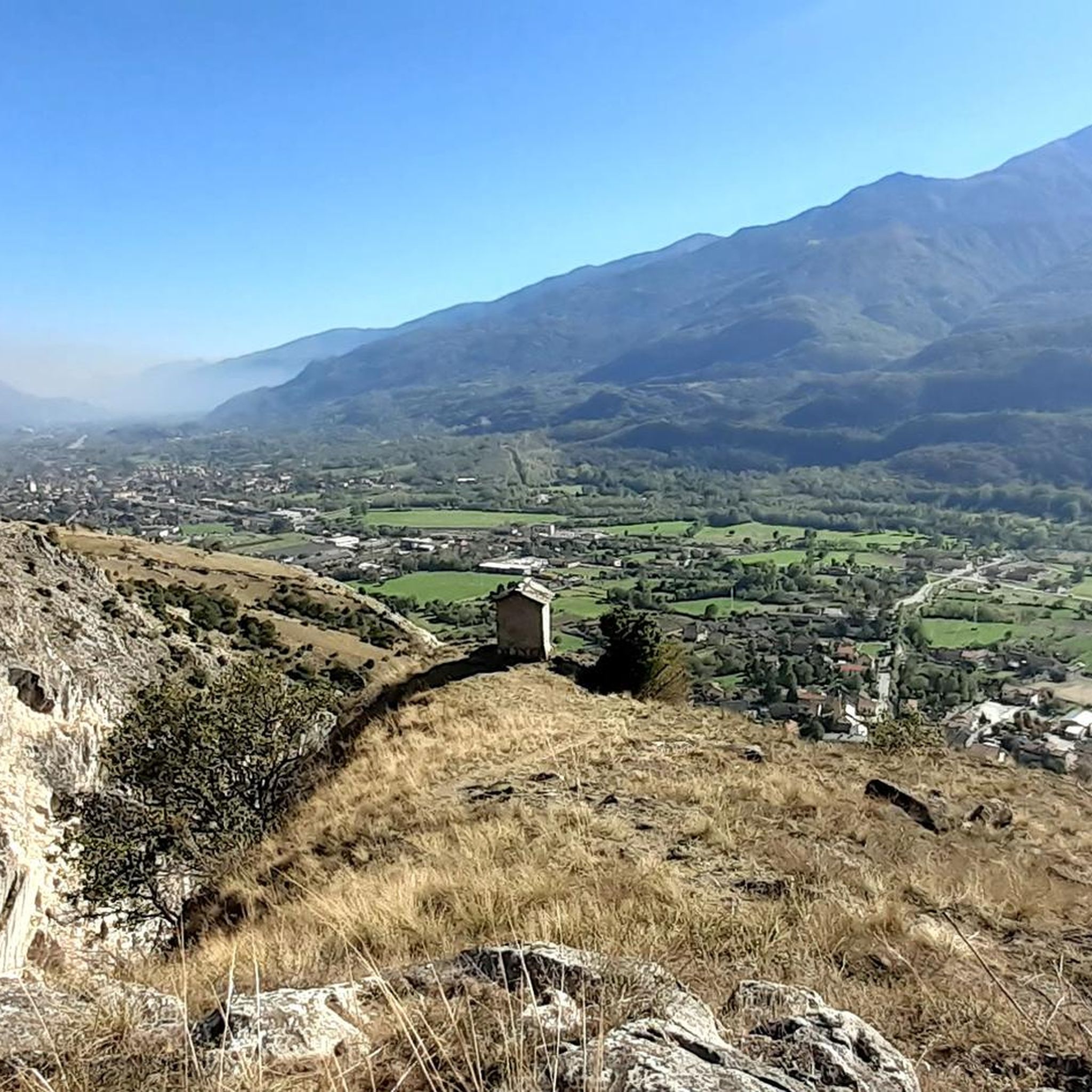
Hiking in Riserva Naturale Dell'Orrido Di Foresto
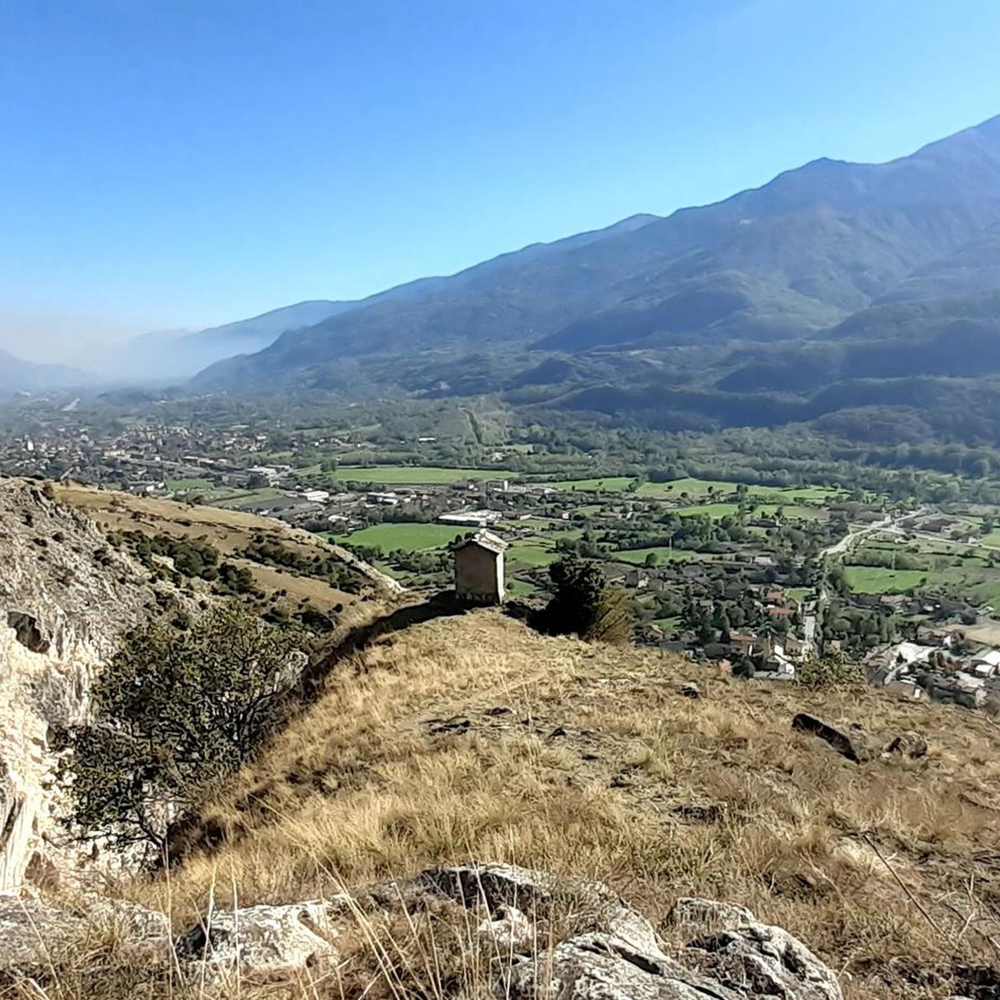
MTB Trails in Riserva Naturale Dell'Orrido Di Foresto

Gravel biking in Riserva Naturale Dell'Orrido Di Foresto
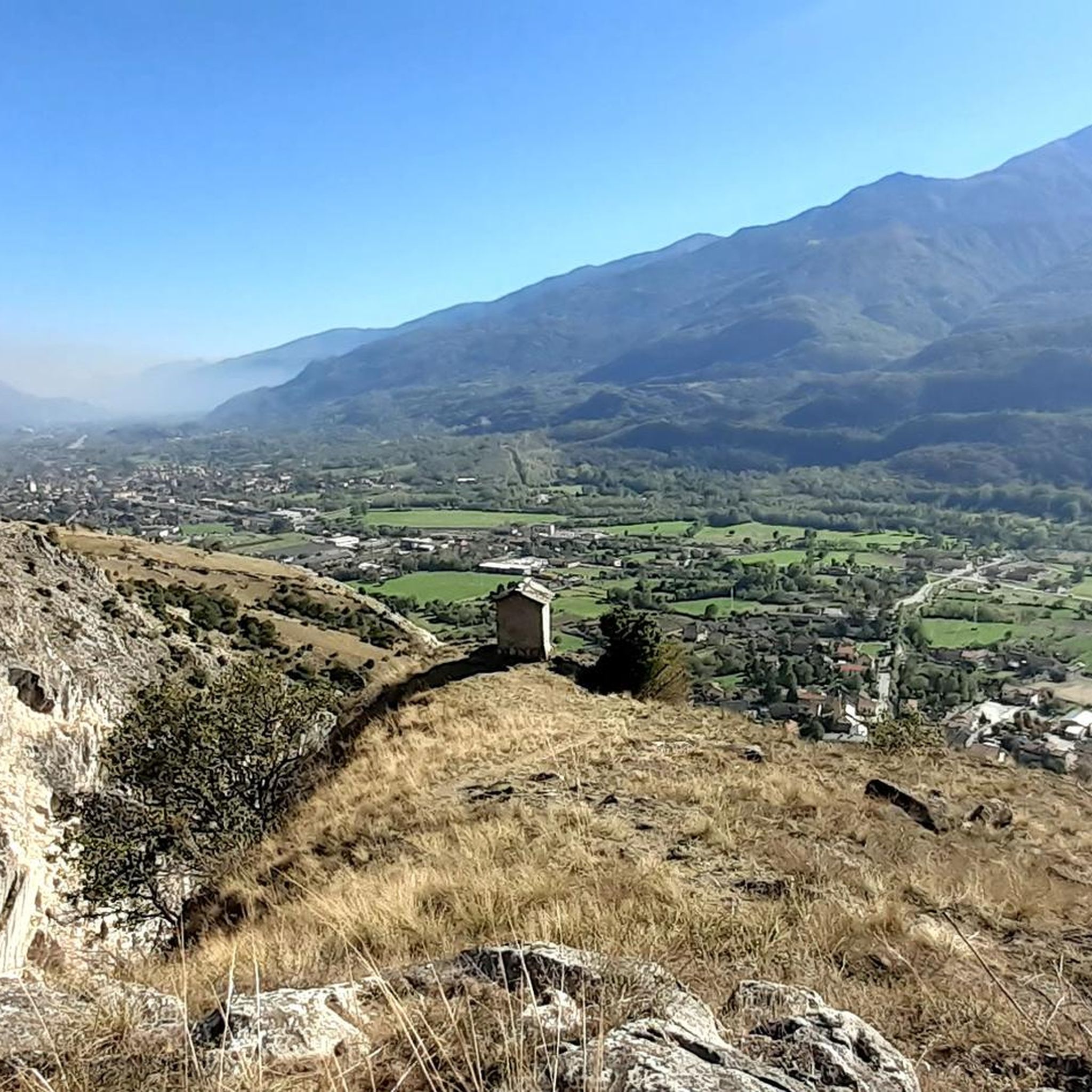
Cycling in Riserva Naturale Dell'Orrido Di Foresto
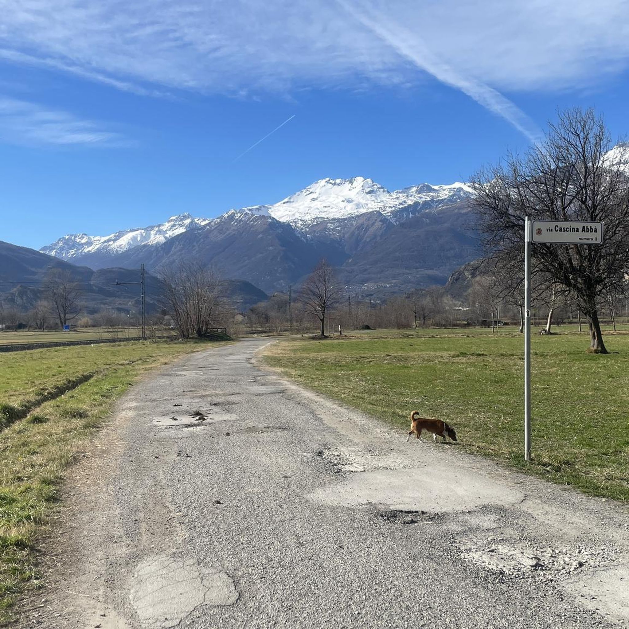
Road Cycling Routes in Riserva Naturale Dell'Orrido Di Foresto

Mountain Hikes in Riserva Naturale Dell'Orrido Di Foresto
Tips from the Community

The trail is very difficult to find, starting from the first water crossing, but especially between points 4 and 5 (note: I hiked in the opposite direction). I lost the route several times and had to climb very dangerously to finally reach the cave! Komoot didn't clearly indicate the route, and the hiking GPS also showed this route... So extra preparation is necessary! A truly beautiful area!
1
0

It's a little pearl of our Piedmont Alps...
0
0

Susa is a town of 6,000 inhabitants in the province of Turin. The historic center boasts many Roman remains, such as the Arch of Augustus, the Roman amphitheater, the temple of the Forum and the Roman aqueduct.
3
0

Susa is a city rich in history and monuments. Of Roman origin (the ancient Segusium), it preserves, stratified in the urban fabric of the historic center, evidence of the Roman era (of which the Arch of Augustus and the Roman arena are the most striking examples!), notable medieval remains (castle of the Marchioness Adelaide, historic village, Porta Savoia...). A visit route can start from the station square (convenient for parking), then continuing along Via Roma (full of shops and bars), crossing the bridge over the Dora, then continuing along the main street until turning right into Via Palazzo di Città (thus passing under the thirteenth-century Civic Tower). Here the medieval porticoes are notable, continuing straight you arrive at the foot of the imposing castle of the Marchioness Adelaide, here you will find the signs for the Roman arena (detour to the left). Back, continue climbing the steps at the foot of the castle to the top where, in a small space, remains of distant eras coexist: the Roman aqueduct, at the foot cup-shaped rocks perhaps from the Celtic era, not far away the Arch of Augustus and the entrance to the internal courtyard of the castle. Going down, you pass under the Arch of Augustus, cross the public gardens admiring the remains of the medieval walls and arrive in Piazza Savoia. Here you turn right, pass under the beautiful Porta Savoia and arrive in the most suggestive corner of Susa, Piazza S. Giusto, dominated by the beautiful cathedral of the same name. You can admire some well-renovated medieval houses before taking Via Francesco Rolando which quickly leads back to Via Roma.
1
0

Place of arrival for many road cyclists, but also starting point for MTB itineraries
0
0

The Orrido di Foresto Reserve, established with the aim of protecting the prickly juniper, extends for 200 hectares in the territory of the municipalities of Bussoleno and Susa. It includes the stupendous ravine excavated by the Rio Rocciamelone and the neighboring limestone bastions alternating with xeric prairies. Source: https://www.parchialpicozie.it/page/view/riserva-naturale-speciale-orrido-di-foresto/
0
0

they put the word Susa in the square, very nice to take a picture
0
0
Frequently Asked Questions
How many running routes are available in Riserva Naturale Dell'Orrido Di Foresto?
There are over 80 dedicated running routes in Riserva Naturale Dell'Orrido Di Foresto, offering a wide range of options for different skill levels and preferences. These trails wind through diverse landscapes, from the dramatic gorge to unique Mediterranean flora.
Are there any easy jogging routes for beginners in the reserve?
Yes, the reserve offers several easy jogging routes suitable for beginners. One popular option is the Running loop from Coldimosso, an easy 3.0-mile (4.8 km) trail that provides a gentle introduction to the area's lower elevations.
What kind of terrain can I expect on the running trails in Riserva Naturale Dell'Orrido Di Foresto?
The terrain is quite varied due to the unique Mediterranean microclimate within the Alpine chain. You'll encounter xerophytic grasslands, calcareous bastions, pine forests, chestnut groves, and even small larch woods. Some routes ascend along hillsides, offering panoramic views, while others follow paths through the dramatic gorge area.
Are there any circular running routes in the Riserva Naturale Dell'Orrido Di Foresto?
Yes, many of the running trails in the reserve are circular, allowing you to start and end at the same point. For example, the Running loop from Borgo Nuovo is a 4.0-mile (6.4 km) circular trail that takes you through diverse landscapes.
Can I bring my dog on the running trails in Riserva Naturale Dell'Orrido Di Foresto?
While the guide doesn't specify dog-friendly routes, generally, natural reserves in Italy have rules regarding dogs. It's advisable to keep dogs on a leash to protect local wildlife and flora, especially given the presence of species like foxes, wild boars, and roe deer. Always check local signage for specific regulations.
What are some interesting sights or landmarks I can see while running in the reserve?
The reserve is rich in natural beauty and points of interest. You can experience the dramatic Foresto Gorge, explore the unique flora along the Juniper Trail, or enjoy panoramic vistas from the View of the Susa Valley from Truc San Martino. The area also has historical interest, including an ancient lazaretto.
What is the best time of year for running in Riserva Naturale Dell'Orrido Di Foresto?
Thanks to its distinct Mediterranean microclimate, the reserve offers pleasant conditions for running throughout much of the year. Even in winter, the south-facing exposure and unique vegetation can make for enjoyable excursions. Spring and autumn are particularly beautiful, with vibrant flora and comfortable temperatures.
Are there any challenging trail runs for experienced runners?
Absolutely. For those seeking a more challenging experience, the reserve offers several difficult routes with significant elevation gain. A popular choice among local runners is the Running loop from Bussoleno, a difficult 3.3-mile (5.3 km) path that will test your endurance.
What do other runners say about the trails in Riserva Naturale Dell'Orrido Di Foresto?
The running routes in Riserva Naturale Dell'Orrido Di Foresto are highly rated by the komoot community, with an average score of 4.4 stars from 9 reviews. Over 600 runners have explored the varied terrain, often praising the unique natural beauty and the diverse ecosystems encountered along the trails.
Are there opportunities for wildlife spotting while running?
Yes, the reserve is a haven for wildlife. While running, you might spot species like foxes, badgers, wild boars, and roe deer. Birdwatchers can also look out for numerous birds of prey, including the rather rare Short-toed Snake Eagle, which frequents the rocky cliffs.
Is there parking available near the running trailheads?
While specific parking locations for each trailhead are not detailed in the guide, the presence of various starting points like Coldimosso, Bussoleno, and Borgo Nuovo suggests that parking facilities are generally available in or near these villages, providing access to the reserve's network of paths.
How long are the running trails in Riserva Naturale Dell'Orrido Di Foresto?
The running trails vary significantly in length. You can find shorter routes like the 3.0-mile (4.8 km) Running loop from Coldimosso, or longer, more demanding runs such as the 12.1-mile (19.4 km) Casaforte di Menolzio loop from Bussoleno, which includes significant elevation changes.
Most popular routes in Riserva Naturale Dell'Orrido Di Foresto
Most popular attractions in Riserva Naturale Dell'Orrido Di Foresto

Get inspired with the komoot mobile app


Explore more
Browse the best Running Trails & Routes in other regions.
