The best walks and hikes in Réserve Biologique Dirigée De Mal-Infernet
4.6
(5476)
34,384
hikers
470
hikes
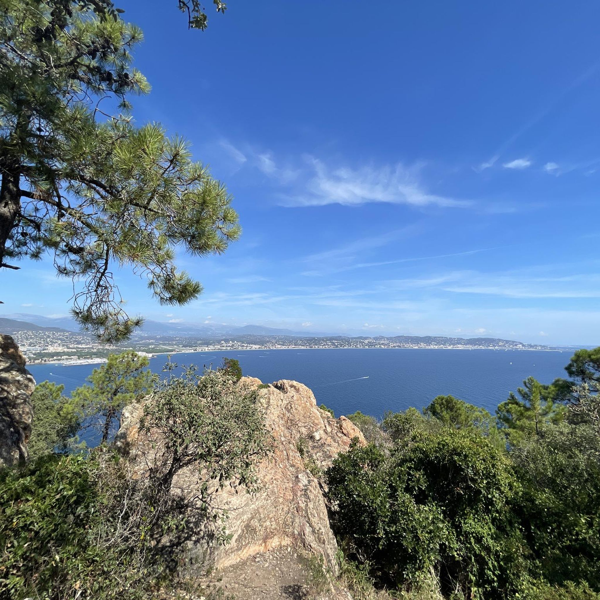
Hiking in Réserve Biologique Dirigée De Mal-Infernet offers a diverse landscape characterized by rugged peaks, deep ravines, and varied forest terrain. The area features prominent geological formations such as Cap Roux Peak and the Mal-Infernet Ravine. Trails often navigate through these natural features, providing elevation changes and panoramic views. The reserve's topography includes both challenging ascents and more gentle paths, catering to different hiking preferences.
Best hiking trails in Réserve Biologique Dirigée De Mal-Infernet
- The most popular hiking route is…
Last updated: July 5, 2026
4.7
(131)
678
hikers
Hard hike. Very good fitness required. Sure-footedness, sturdy shoes and alpine experience required.
4.9
(41)
206
hikers
Moderate hike. Good fitness required. Easily-accessible paths. Suitable for all skill levels.

Sign up for free
4.6
(18)
96
hikers
Easy hike. Great for any fitness level. Easily-accessible paths. Suitable for all skill levels.
4.5
(22)
147
hikers
7.25km
01:56
80m
80m
Easy hike. Great for any fitness level. Easily-accessible paths. Suitable for all skill levels.
4.2
(12)
49
hikers
Moderate hike. Good fitness required. Mostly accessible paths. Sure-footedness required.
Get access to more routes and recommendations from other explorers.
Sign up for free
Already have an account?
Our route recommendations are based on thousands of hikes, rides, and runs completed by other people on komoot.
Start today with a free account
Your next adventure awaits.
Login or Signup
Popular around Réserve Biologique Dirigée De Mal-Infernet
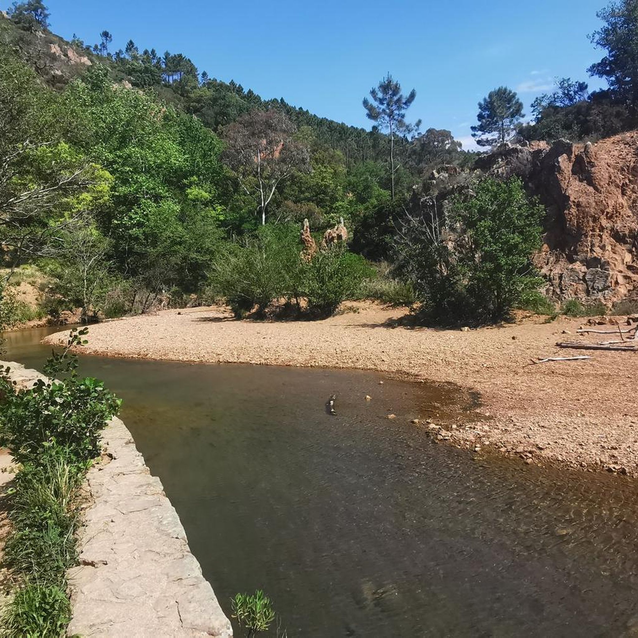
Road Cycling Routes in Réserve Biologique Dirigée De Mal-Infernet
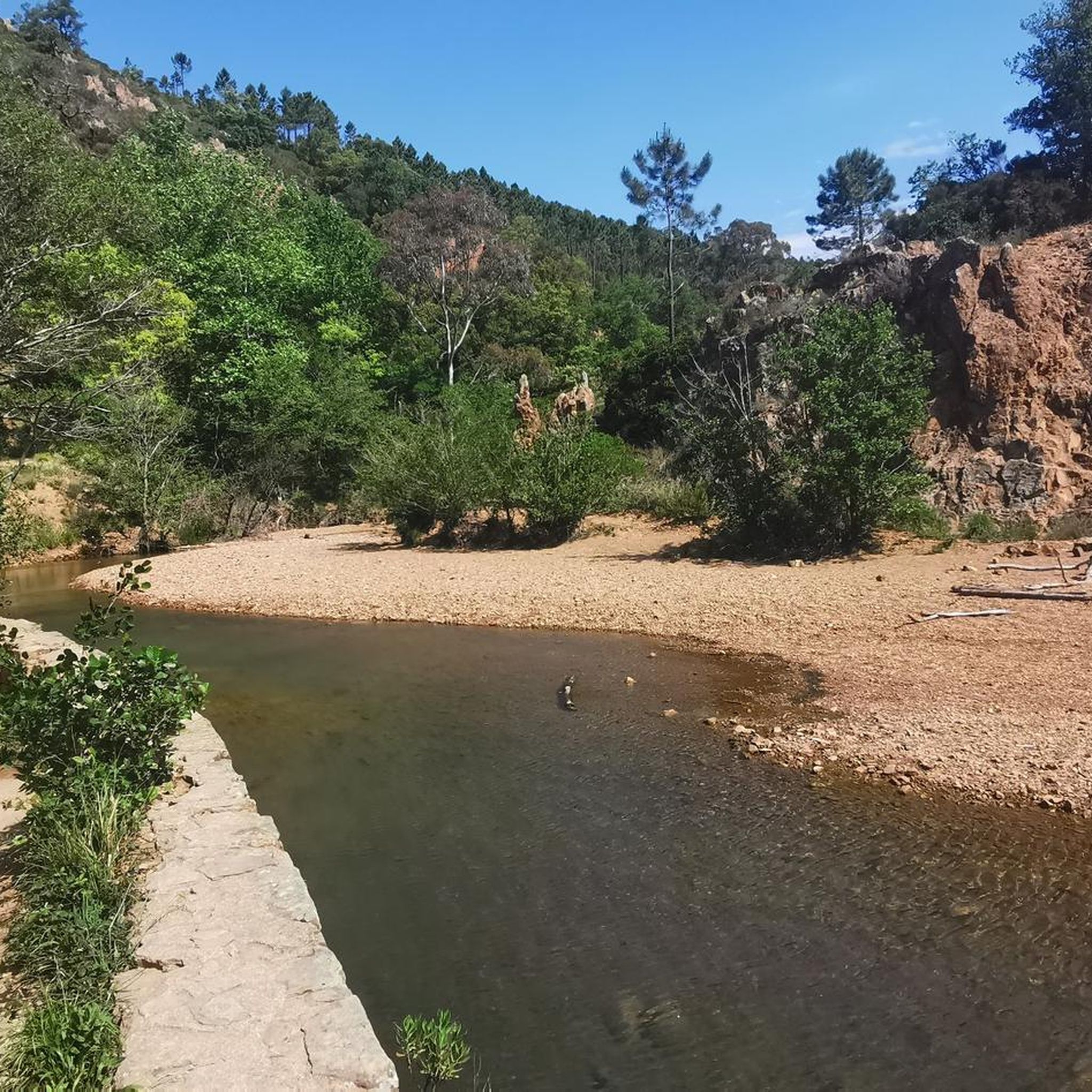
MTB Trails in Réserve Biologique Dirigée De Mal-Infernet
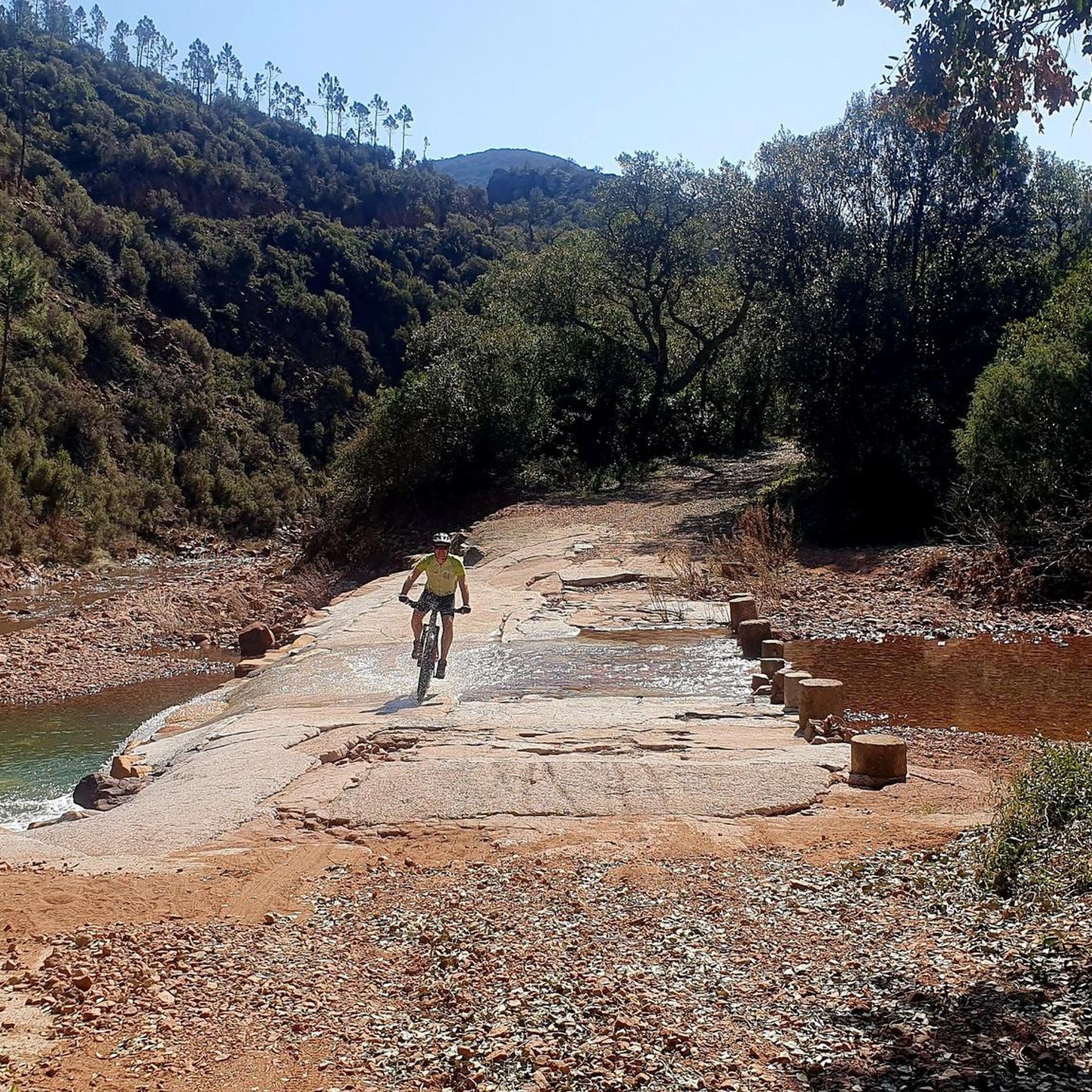
Cycling in Réserve Biologique Dirigée De Mal-Infernet
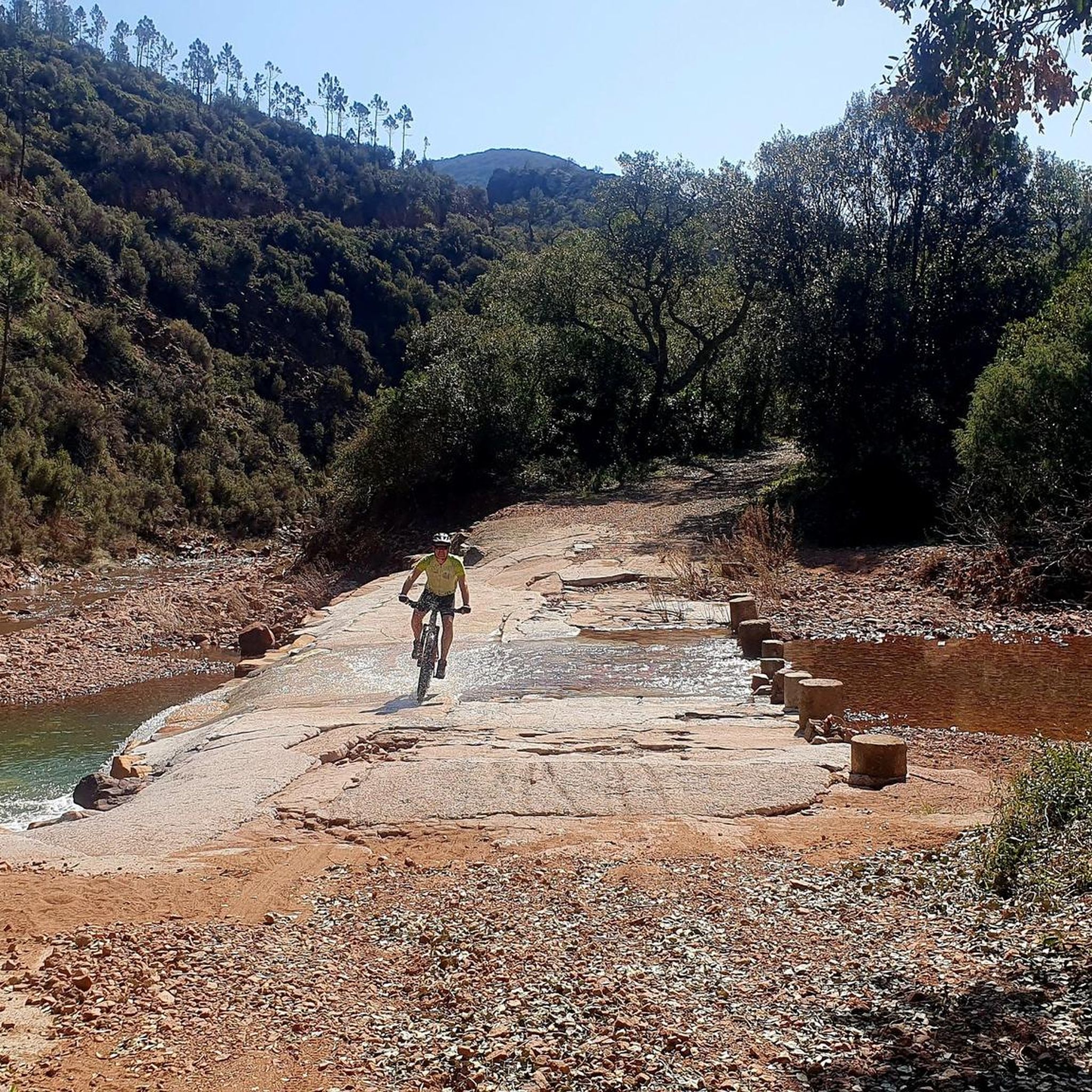
Running Trails in Réserve Biologique Dirigée De Mal-Infernet
Gravel biking in Réserve Biologique Dirigée De Mal-Infernet

Mountain Hikes in Réserve Biologique Dirigée De Mal-Infernet
Tips from the Community

Surefootedness and freedom from dizziness, as well as as little fear of heights as possible, are the prerequisites for climbing this magnificent rock. In some places, steps have been carved. It is important to follow these precisely, otherwise you will quickly find yourself in exposed terrain. The previously existing safety measures have been completely removed. Only the stubs of the rods embedded in the rocks still bear witness to this. The rock is conquered by easy climbing, the ascent is slightly exposed in places.
0
0

This route is more visually appealing than technically challenging. Don't miss it.
0
0

Twice in 45 days, a magnificent view; you have to take advantage of the sunny days to enjoy this place.
0
0


Indeed, there are many beautiful landscapes in the region and beautiful hikes also on the Esterel or the Mercantour 👍👍
0
0

Incredible view
1
0

The best place for walking or gravel mountain biking, breathtaking landscapes, the sea is not far away
0
0
Frequently Asked Questions
How many hiking trails are there in Réserve Biologique Dirigée De Mal-Infernet?
There are over 460 hiking routes available in Réserve Biologique Dirigée De Mal-Infernet, catering to various skill levels from easy strolls to challenging ascents. The komoot community has explored these trails over 29,000 times.
Are there easy hiking trails suitable for beginners or families in Réserve Biologique Dirigée De Mal-Infernet?
Yes, Réserve Biologique Dirigée De Mal-Infernet offers a good selection of easy trails, with over 160 routes classified as easy. A great option for families or beginners is The Lily Pond – Etang d'Aubert loop from Col Belle Barbe, which is just under 5 km and features minimal elevation gain.
Are there challenging routes for experienced hikers in Réserve Biologique Dirigée De Mal-Infernet?
Absolutely. The reserve features 75 difficult routes for experienced hikers. One notable challenging trail is the Very nice panorama point – Cap Roux Peak loop from Col Belle Barbe, which is over 17 km long and involves significant elevation changes, offering extensive panoramic views from Cap Roux Peak.
What kind of natural attractions or landmarks can I see along the trails?
The trails in Réserve Biologique Dirigée De Mal-Infernet lead to several distinctive natural features. You can explore the dramatic Mal-Infernet Ravine, discover the Baladou Pass, or follow the Lentisques Trail. Many routes also offer views of Cap Roux Peak and the unique geological formations of the Esterel Massif.
Can I find circular walks in Réserve Biologique Dirigée De Mal-Infernet?
Yes, many of the trails in Réserve Biologique Dirigée De Mal-Infernet are designed as circular routes, allowing you to start and end at the same point. Examples include the Mal-Infernet Ravine – Change of decor loop from Col Belle Barbe and the Cap Roux Peak – Very nice panorama point loop from Réserve biologique dirigée de Mal-Infernet.
What do other hikers enjoy the most about hiking in Réserve Biologique Dirigée De Mal-Infernet?
The area is highly rated by the komoot community, with an average score of 4.6 stars from over 4,300 reviews. Hikers often praise the diverse landscape, including rugged peaks, deep ravines, and varied forest terrain, as well as the panoramic views from points like Cap Roux Peak.
What is the best time of year to hike in Réserve Biologique Dirigée De Mal-Infernet?
The Mediterranean climate of the region makes spring and autumn ideal for hiking, with milder temperatures and vibrant flora. Summer can be very hot, so early morning or late afternoon hikes are recommended. Winter offers cooler, crisp conditions, though some higher or more exposed trails might require extra caution.
Are dogs allowed on the trails in Réserve Biologique Dirigée De Mal-Infernet?
As a biological reserve, specific regulations regarding dogs may apply to protect local wildlife and ecosystems. It's generally advisable to keep dogs on a leash and check for any specific signage or local rules at trailheads to ensure compliance and respect for the natural environment.
Where can I park when visiting Réserve Biologique Dirigée De Mal-Infernet for a hike?
Many popular trailheads, such as Col Belle Barbe, offer designated parking areas. It is recommended to arrive early, especially during peak season, as parking can fill up quickly. Always park in marked spaces and avoid obstructing access roads or emergency routes.
Is Réserve Biologique Dirigée De Mal-Infernet accessible by public transport?
Access to Réserve Biologique Dirigée De Mal-Infernet by public transport can be limited, as many trailheads are located in more remote natural areas. While some regional bus services might reach nearby towns, direct access to the heart of the reserve often requires a car. It's best to check local bus schedules for the Esterel Massif region.
What should I wear or bring for hiking in Réserve Biologique Dirigée De Mal-Infernet?
Given the varied terrain and potential for elevation changes, sturdy hiking shoes with good grip are essential. Layers of clothing are recommended to adapt to changing weather conditions, especially if hiking to higher elevations. Always bring sufficient water, sun protection (hat, sunscreen), a map or GPS device, and snacks. For longer hikes, a first-aid kit is also advisable.
Are there opportunities for winter hiking in Réserve Biologique Dirigée De Mal-Infernet?
Winter hiking is possible in Réserve Biologique Dirigée De Mal-Infernet, offering a different perspective of the landscape with cooler temperatures and fewer crowds. While snow is rare at lower elevations, higher sections might experience frost. Always check weather conditions before heading out and be prepared for potentially slippery or muddy paths.
Most popular routes in Réserve Biologique Dirigée De Mal-Infernet
Most popular attractions in Réserve Biologique Dirigée De Mal-Infernet

Get inspired with the komoot mobile app


Explore more
Browse the best Hikes in other regions.
