The best road cycling routes in Toraggio - Gerbonte
4.6
(183)
2,334
riders
20
rides
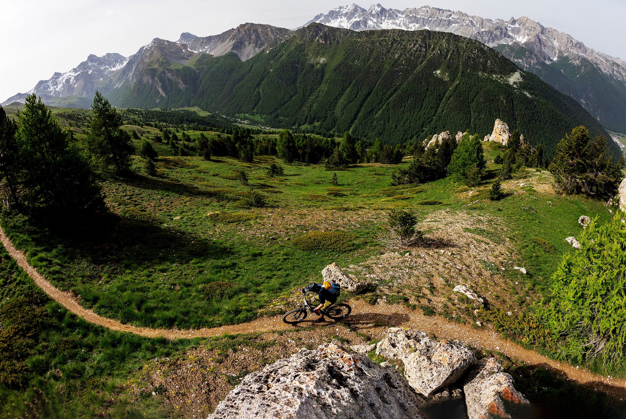
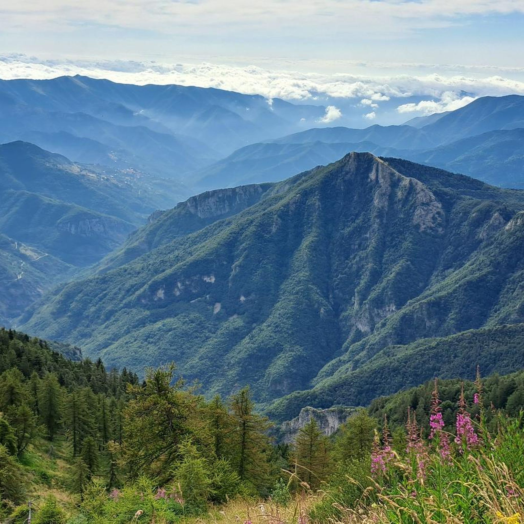
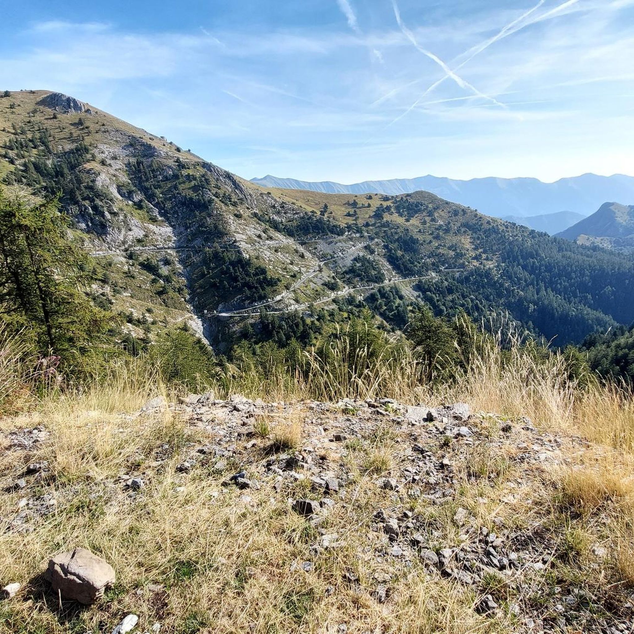
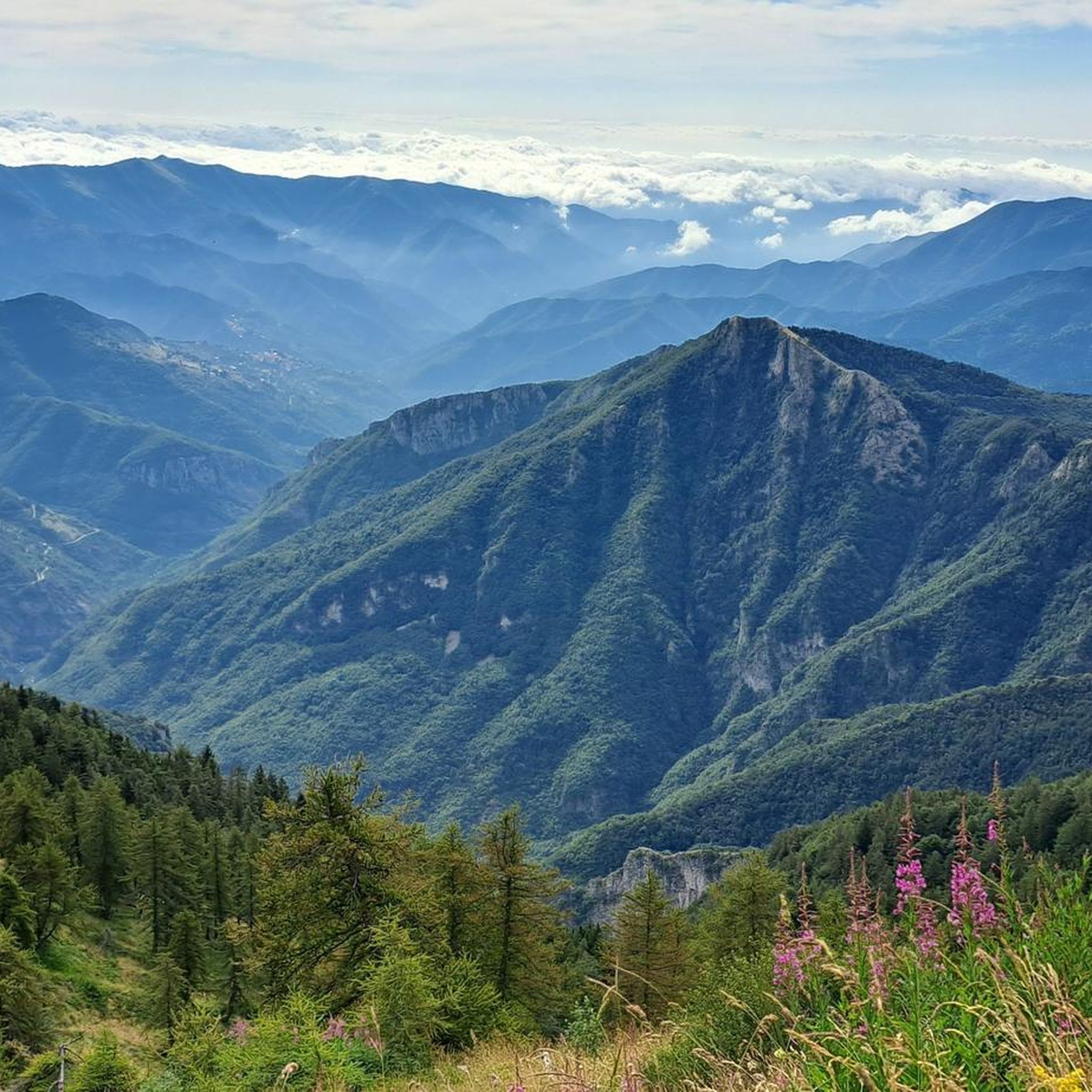
Road cycling routes in Toraggio - Gerbonte traverse a diverse landscape in the Ligurian Alps, bordering France and Italy. The region features a contrast between high-altitude alpine scenery and lower-lying cultivated fields and olive groves. Mount Toraggio, a prominent peak at 1,973 meters, offers expansive vistas. Cyclists can expect challenging climbs on asphalted and cemented sections, rewarding them with panoramic views towards the Mediterranean.
Best road cycling routes in Toraggio - Gerbonte
- The most popular road cycling route is Apricale…
Last updated: June 29, 2026
4.7
(3)
65
riders
58.7km
03:42
1,710m
1,710m
Hard road ride. Very good fitness required. Mostly well-paved surfaces and easy to ride.
4.5
(4)
37
riders
32.8km
01:44
620m
620m
Moderate road ride. Good fitness required. Mostly well-paved surfaces and easy to ride.

Sign up for free
13
riders
33.9km
02:24
1,240m
1,240m
Hard road ride. Very good fitness required. Mostly well-paved surfaces and easy to ride.
5.0
(1)
6
riders
22.9km
01:37
810m
810m
Moderate road ride. Good fitness required. Mostly well-paved surfaces and easy to ride.
6
riders
14.0km
00:57
460m
460m
Moderate road ride. Good fitness required. Mostly well-paved surfaces and easy to ride.
Get access to more routes and recommendations from other explorers.
Sign up for free
Already have an account?
Our route recommendations are based on thousands of hikes, rides, and runs completed by other people on komoot.
Start today with a free account
Your next adventure awaits.
Login or Signup
Popular around Toraggio - Gerbonte


Other adventures in Toraggio - Gerbonte

Tips from the Community

super scenic country at the top of the Argentina valley. Lunch stop recommended
0
0

End of the asphalt road to Mount Faudo
0
0
Village at the foot of Triora
0
0
A must-see in the Ligurian hinterland
0
0

The climb is challenging but not too difficult, and there's little traffic, especially on weekdays. I recommend exploring these beautiful places.
0
0
very panoramic pass on the Molini side, the other side completely immersed in the woods
0
0

not exactly a highlight anymore
0
0

At the entrance to Buggio there is a water point to fill your cans before going back down the valley.
0
0
Frequently Asked Questions
How many road cycling routes are available in Toraggio - Gerbonte?
There are over 20 road cycling routes in Toraggio - Gerbonte. These routes cater primarily to moderate and difficult skill levels, offering challenging ascents and rewarding views.
What kind of terrain can I expect on road cycling routes in Toraggio - Gerbonte?
The region offers a diverse and rugged landscape, ranging from high-altitude alpine scenery to lower-lying cultivated fields and olive groves. You'll encounter challenging climbs on asphalted and cemented sections, with winding roads and panoramic viewpoints towards the Mediterranean.
What is the typical difficulty level for road cycling in this region?
Road cycling in Toraggio - Gerbonte is generally suited for experienced cyclists. The routes are categorized as moderate or difficult, with 9 moderate and 12 difficult routes available, featuring significant elevation gains.
When is the best time of year for road cycling in Toraggio - Gerbonte?
Given the region's alpine characteristics and challenging terrain, the warmer months, typically from late spring to early autumn, are ideal. This period avoids snow at higher elevations and offers more stable weather conditions for ascents and descents.
Are there any notable landmarks or viewpoints along the road cycling routes?
Yes, the region is rich in natural landmarks and offers spectacular viewpoints. You can find highlights like Monte Toraggio, a prominent peak offering expansive vistas, and the historic Sentiero degli Alpini. Many routes provide panoramic views towards the Mediterranean.
What natural features can I see while road cycling in Toraggio - Gerbonte?
The area is characterized by dramatic natural features, including abysses, caves, and vertical rock walls. You'll also experience a unique botanical diversity, with alpine habitats coexisting with Mediterranean scrubland at high altitudes, and geological formations like marly and nummulite limestone.
Are there any circular road cycling routes in Toraggio - Gerbonte?
Yes, many routes are designed as loops. For example, the Apricale Historic Village – View of Bajardo loop from Buggio is a popular difficult route, and the Apricale Historic Village – Castel Vittorio loop from Buggio offers a moderate option.
What are the options for parking when road cycling in Toraggio - Gerbonte?
While specific parking areas for road cyclists are not detailed, many routes start from or pass through towns like Buggio, Triora, or Pigna, where public parking facilities are generally available. One route, Bicycle Parking in Dolceacqua – Ventimiglia Cycle Path loop from Pigna, even mentions bicycle parking in its name, indicating facilities in some areas.
Is public transport available to access road cycling routes in Toraggio - Gerbonte?
Public transport options in this rugged, mountainous region are limited. It is advisable to plan your journey by car to reach the starting points of most road cycling routes, especially those in more remote areas.
Are there places to eat or stay near the road cycling routes?
The region has several charming villages like Pigna, Triora, and Apricale. These villages often offer local cafes, restaurants, and accommodation options, providing convenient stops for refreshments or overnight stays for cyclists exploring the area.
What do other road cyclists say about the routes in Toraggio - Gerbonte?
The road cycling routes in Toraggio - Gerbonte are highly rated by the komoot community, with an average score of 4.6 stars from over 160 reviews. Cyclists often praise the challenging alpine ascents, the winding roads through olive groves, and the spectacular panoramic viewpoints towards the Mediterranean.
Are there any routes suitable for less experienced road cyclists?
While the region is known for its challenging terrain, there are moderate options available. For instance, the Verdeggia loop from Triora is a moderate route that offers a good experience without the most extreme climbs.
Most popular routes in Toraggio - Gerbonte
Most popular attractions in Toraggio - Gerbonte

Get inspired with the komoot mobile app


Explore more
Browse the best Road cycling routes in other regions.
