The best road cycling routes in Cima Di Piano Cavallo - Bric Cornia
4.8
(40)
1,043
riders
24
rides
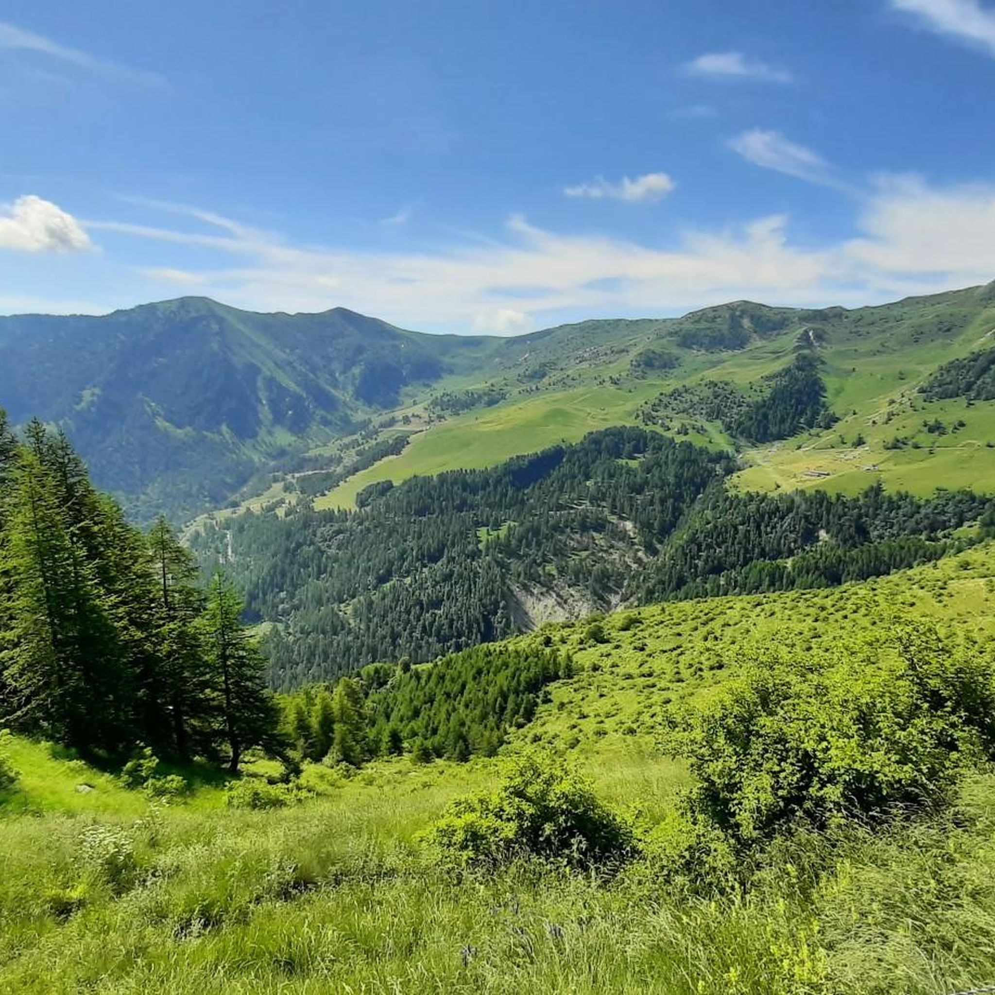
Road cycling routes in Cima Di Piano Cavallo - Bric Cornia traverse the Ligurian Alps Regional Natural Park, characterized by an Alpine environment with extensive forests of larch, Scots pine, fir, and beech. Higher elevations feature alpine meadows and shrublands. The landscape includes numerous streams and impressive dolomitic walls, alongside geological formations such as calcareous rocks and Jurassic dolomitic quartzites. Cima di Pian Cavallo, at 1,896 meters, is the highest peak, offering panoramic vistas over demanding gradients.
Best road cycling…
Last updated: July 15, 2026
4.8
(6)
171
riders
74.2km
04:48
2,250m
2,250m
Hard road ride. Very good fitness required. Mostly well-paved surfaces and easy to ride.
23
riders
44.8km
02:34
1,030m
1,030m
Hard road ride. Very good fitness required. Mostly well-paved surfaces and easy to ride.

Sign up for free
16
riders
26.7km
01:42
750m
750m
Moderate road ride. Good fitness required. Mostly well-paved surfaces and easy to ride.
9
riders
Moderate road ride. Good fitness required. Mostly well-paved surfaces and easy to ride.
5
riders
24.0km
01:08
290m
290m
Easy road ride. Great for any fitness level. Mostly well-paved surfaces and easy to ride.
Get access to more routes and recommendations from other explorers.
Sign up for free
Already have an account?
Our route recommendations are based on thousands of hikes, rides, and runs completed by other people on komoot.
Start today with a free account
Your next adventure awaits.
Login or Signup
Popular around Cima Di Piano Cavallo - Bric Cornia


Tips from the Community

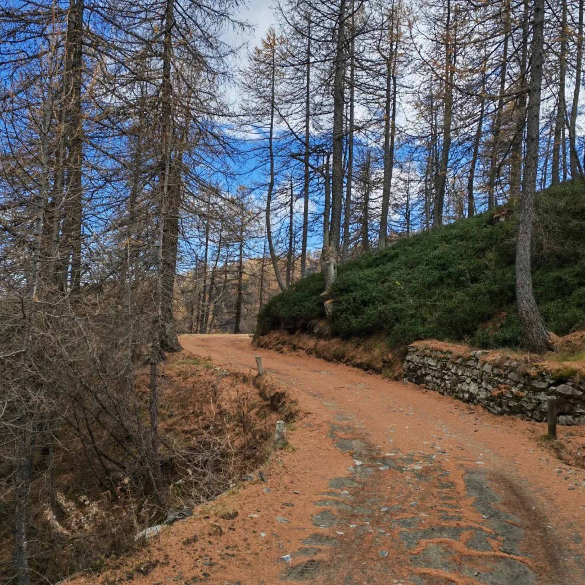
A well-renovated and maintained refuge, offering a magnificent view of the opposite rock faces of the Tanaro valley, with the sea in the background.
0
0


The Tanaro valley is particularly rugged, also full of caves and overhangs. The overall view from here is worth it.
0
0
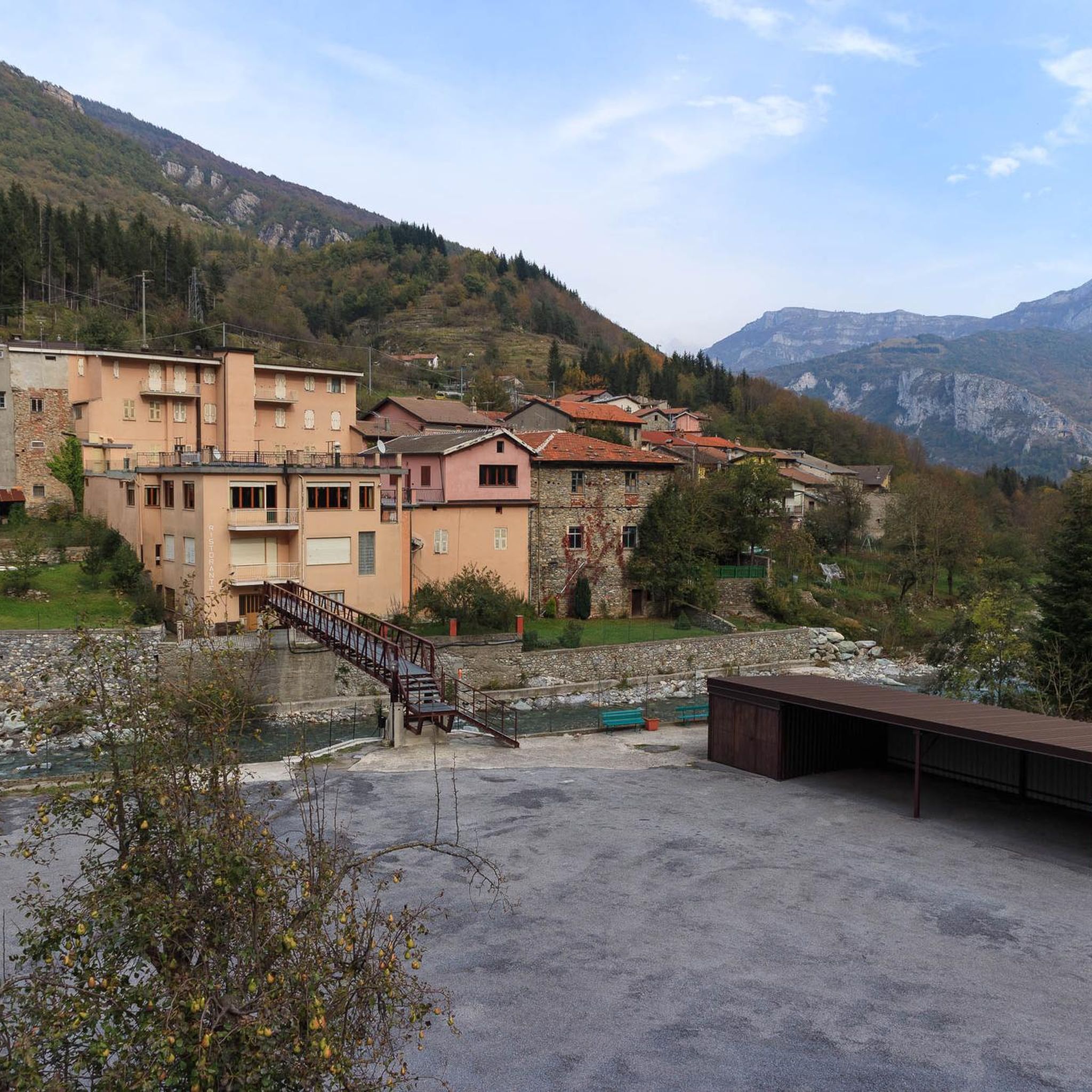
Small typical mountain village, but with all services. Very touristy, frequented by almost all people from Imperia. Excellent for holidays, you can pass through here with road bikes and any type of bike (there are no shortage of trails, not even for gravel bikes). Also, the climb to Monjoie starts from here.
0
0
Tiny summit village in the Viozene valley, famous for its ravioli, tagliolini and other wonderful dishes of the Brigasca civilization
1
0

This stretch repays all the effort needed to reach it... what can I say? Travel it calmly, stop to admire the natural environment, the caves, the erosion work done by the stream... it doesn't happen often, to travel such spectacular roads! A piece of advice: moderate your speed downhill, the road is almost devoid of protections towards the valley!!!
0
0

Included in the BI-15 Swiss-Sea Cycle Route itinerary, this mixed stretch of cycle path and secondary road with very limited vehicular traffic allows you to pedal in peace along the Tanaro between Ormea, Priola and Garessio.
3
0

Frequently Asked Questions
How many road cycling routes are available in Cima Di Piano Cavallo - Bric Cornia?
There are over 20 road cycling routes in the Cima Di Piano Cavallo - Bric Cornia area, offering a range of challenging experiences within the Ligurian Alps Regional Natural Park.
What is the general difficulty level for road cycling in this region?
Road cycling in Cima Di Piano Cavallo - Bric Cornia is generally challenging, with routes often requiring 'very good fitness' due to significant climbs and demanding gradients. Most routes are classified as moderate to difficult, with 7 moderate and 13 difficult options available.
What kind of landscapes and natural features will I encounter while cycling?
You will cycle through a distinctly Alpine environment, featuring extensive forests of larch, Scots pine, fir, and beech, alongside higher elevation alpine meadows and shrublands. The landscape is also characterized by numerous streams, impressive dolomitic walls, and diverse geological formations, offering panoramic vistas.
Are there any notable landmarks or attractions along the road cycling routes?
Yes, several points of interest can be found. You might encounter the dramatic Gola delle Fascette, pass through the historic Colletta delle Salse Pass, or visit Upega Village. The Tanaro Gorge also offers scenic views.
What do other road cyclists enjoy most about cycling in Cima Di Piano Cavallo - Bric Cornia?
The area is highly rated by the komoot community, with an average score of 4.9 stars from over 40 reviews. Cyclists frequently praise the challenging climbs, the well-paved roads, and the expanding panoramic views of the plain, Aviano, Pordenone, and even the sea that reward their efforts.
What are the road conditions like for cycling in the area?
The roads in Cima Di Piano Cavallo - Bric Cornia are generally well-paved, providing a smooth riding experience despite the demanding gradients and continuous steep sections. This ensures a rewarding challenge for road cyclists.
Are there any circular road cycling routes available?
Yes, many routes in the region are loops. For example, the Colle di Nava – Gola delle Fascette loop from Pornassio and the View of Rocca di Pian Cavallo – Gola delle Fascette loop from Ùpega are popular circular options.
Are there any road cycling routes suitable for less experienced cyclists?
While many routes are challenging, there are moderate options available. The The Best Water loop from Pornassio is a moderate 26.5 km (16.5 miles) trail that leads through forested areas and valleys, offering a less strenuous experience compared to the more difficult climbs.
Where can I find parking for road cycling routes in the area?
Parking is available at various points, including designated areas like Parking Area 300, Parco Naturale Regionale delle Alpi Liguri. You can also find parking in towns such as Ormea, Mendatica, Cosio d'Arroscia, and Pornassio, which serve as starting points for many routes.
What is the best time of year for road cycling in Cima Di Piano Cavallo - Bric Cornia?
The best time for road cycling in this Alpine region is typically from late spring to early autumn (May to October), when the weather is more stable and higher elevation roads are clear of snow. Always check local weather and road conditions before planning your ride, especially for higher passes.
Are there any cafes or accommodation options for cyclists in nearby towns?
Yes, towns like Ormea, Mendatica, Cosio d'Arroscia, and Pornassio, which are common starting points for routes, offer various amenities including cafes, pubs, and accommodation options suitable for cyclists. These towns provide convenient stops for refreshments and overnight stays.
Can I bring my dog on road cycling routes in the Ligurian Alps?
While the Ligurian Alps Regional Natural Park is generally welcoming, specific regulations regarding dogs on cycling routes can vary. It's always best to check local park rules and ensure your dog is well-behaved and on a leash, especially in areas with wildlife or other visitors. Consider the difficulty and length of the route when planning to bring a dog.
Most popular routes in Cima Di Piano Cavallo - Bric Cornia
Most popular attractions in Cima Di Piano Cavallo - Bric Cornia

Get inspired with the komoot mobile app


Explore more
Browse the best Road cycling routes in other regions.
