The best road cycling routes around Höhenland
4.6
(51)
529
riders
27
rides
Road cycling around Höhenland offers diverse landscapes, featuring numerous lakes, extensive forests, and well-maintained paths. The region is characterized by a mix of flat, well-paved sections and gently undulating terrain with some notable ascents. Cyclists can find quiet country roads and dedicated cycle paths, many of which are tree-lined, providing varied conditions for different ride preferences. This infrastructure supports both leisurely rides and more challenging training sessions.
Best road cycling routes around Höhenland
- The most popular road cycling route is Reichenow–Möglin Country Road loop from Altranft, a 41.5 miles (66.7 km) trail that takes 2 hours 45 minutes to complete, featuring quiet country roads and varied terrain.
- Another top favourite among local road cyclists is Bad Freienwalde Ski Jump – Platzfelde - Rädikow loop from Altranft, a moderate 57.4 miles (92.4 km) path. This route includes sections with elevation gain, offering a more demanding ride.
- Local road cyclists also love the Zollbrücke Flood Marker – Old Wriezener Railway Cycle Path loop from Bad Freienwalde (Oder), a 29.1 miles (46.8 km) trail leading through well-paved cycle paths, often completed in about 2 hours 2 minutes.
- Road cycling around Höhenland is defined by numerous lakes, dense forests, and gentle hills, connected by well-paved cycle paths and quiet country roads. The network offers options for different ability levels, from easy to moderate routes.
- The routes in Höhenland are highly rated by the komoot community with an average score of 4.5 stars from over 60 reviews. More than 700 road cyclists have used komoot to explore Höhenland's varied terrain.
Last updated: October 15, 2026
5.0
(3)
123
riders
Moderate road ride. Good fitness required. Mostly well-paved surfaces and easy to ride.
4.1
(7)
55
riders
Moderate road ride. Good fitness required. Mostly well-paved surfaces and easy to ride.

4.0
(2)
35
riders
Moderate road ride. Great for any fitness level. Some segments of this route may be unpaved and difficult to ride.
4.0
(1)
17
riders
59.5km
02:35
360m
360m
Moderate road ride. Good fitness required. Some segments of this route may be unpaved and difficult to ride.
23
riders
50.5km
02:16
350m
350m
Moderate road ride. Good fitness required. Some segments of this route may be unpaved and difficult to ride.
Get access to more routes and recommendations from other explorers.
Already have an account?
Our route recommendations are based on thousands of hikes, rides, and runs completed by other people on komoot.
Start today with a free account
Your next adventure awaits.
Popular around Höhenland
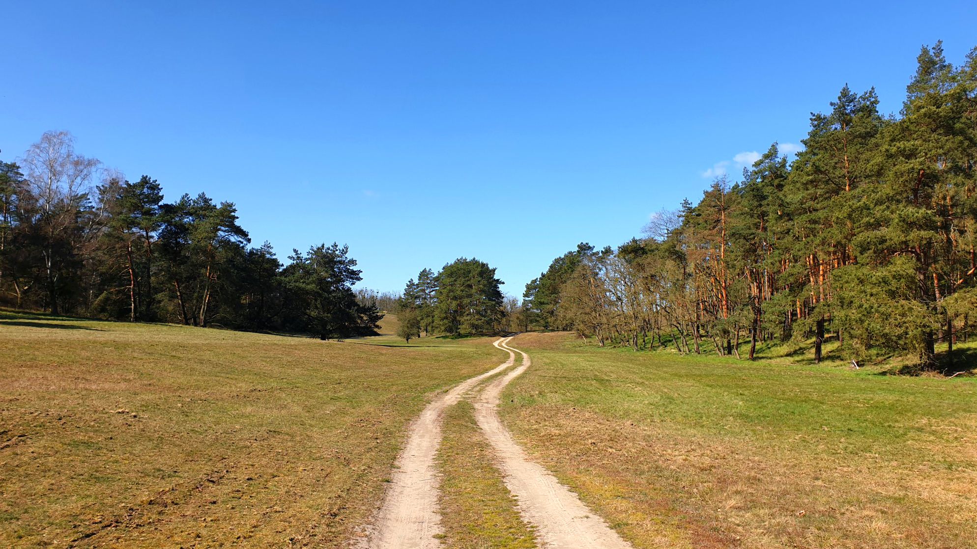
Germany’s Oderlandweg — explore Brandenburg's Little Thuringia
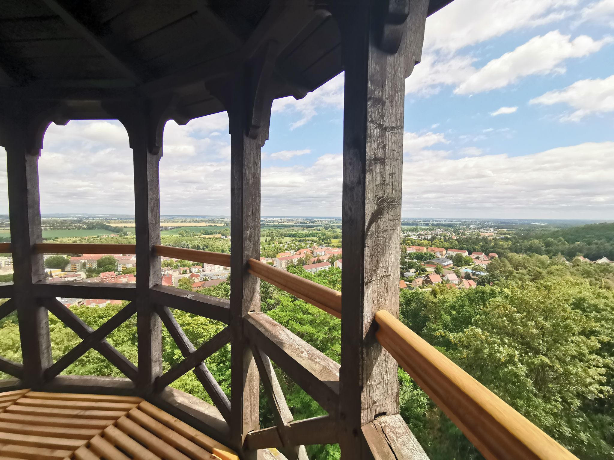
Oderlandweg - Wandern im Seenland Oder-Spree
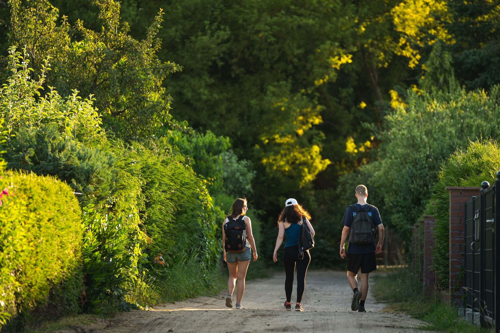
Dein Wanderabenteuer im Seenland Oder-Spree
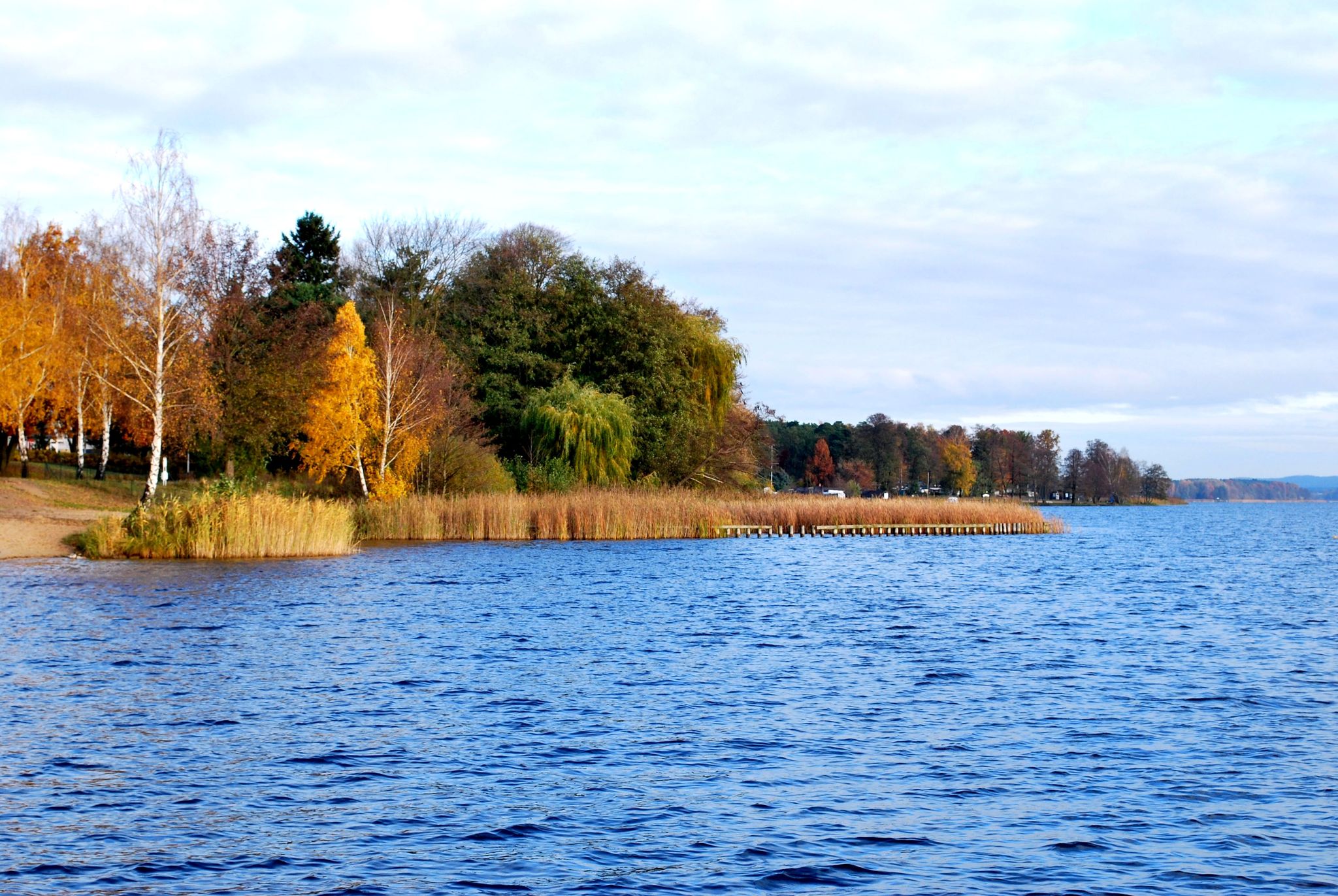
66-Seen-Wanderweg - Wandern im Seenland Oder-Spree
Hiking around Höhenland
MTB Trails around Höhenland
Running Trails around Höhenland
Cycling around Höhenland
Other adventures around Höhenland


Tips from the Community

Attention, partly no asphalt but great view
0
0

Great cycle path! At one point it is briefly interrupted, but you are led back without having to divert onto the road.
0
0

Demanding segment in both directions. At most, the "rumble strips" on the road detract a little from the enjoyment...
0
0
Good surface and quiet.
0
0

Very successful cyclist's break with delicious soft ice cream!!!
2
0

Bike lane in very good conditions.
0
0

Good asphalted cycle path
0
0

Entrance to the Oderbruch with picturesque views. A dream 🚴🏾♂️♥️🙏🏽
0
0
Frequently Asked Questions
What kind of terrain and surfaces can I expect on road cycling routes in Höhenland?
Höhenland offers a diverse mix of terrain. You'll find many routes with wonderful, well-paved surfaces, including dedicated cycle paths like the Bicycle Street from Strausberg to Klosterdorf and the Cycle Path Between Klosterdorf and Kähnsdorf. Additionally, there are quiet country roads, such as the L34 and L62, which are also well-maintained. While many sections are predominantly flat, the region also features gently undulating landscapes and some notable ascents, providing a varied experience for all fitness levels.
Are there any challenging routes for experienced road cyclists in Höhenland?
Yes, Höhenland offers routes with elevation gain for those seeking a challenge. For instance, the Bad Freienwalde Ski Jump – Platzfelde - Rädikow loop from Altranft is a moderate 57.4-mile (92.4 km) path that includes sections with significant elevation. Country roads like the L62 near Hohenleipisch also feature hilly sections and a 'naturally grown mountain with an ascent', providing a good workout.
What scenic attractions or landmarks can I see along the road cycling routes?
Höhenland's routes are rich with natural beauty. You can cycle past numerous lakes, including the picturesque Devil's Lake near Bad Freienwalde and South Gamensee. Many paths are tree-lined, offering natural shade and tranquil forest scenery. You might also encounter natural monuments and charming village churches, such as the one on the Straussee – Village Church Klosterdorf loop from Gielsdorf.
How many road cycling routes are available in Höhenland?
There are over 35 road cycling routes available in Höhenland, catering to various preferences and fitness levels. These include 4 easy routes and 34 moderate routes, ensuring there's something for everyone from leisurely riders to those looking for a more demanding tour.
Are there any family-friendly road cycling routes in Höhenland?
While most routes are classified as moderate, Höhenland does offer easier sections and well-paved paths suitable for families. The region's flat, well-maintained cycle paths, often lined with trees, provide a pleasant and safe environment for leisurely rides. Look for routes with minimal elevation gain for a more relaxed family outing.
Can I find circular road cycling routes in Höhenland?
Yes, many of the road cycling routes in Höhenland are designed as loops, making them convenient for starting and ending at the same point. Examples include the popular Reichenow–Möglin Country Road loop from Altranft and the Zollbrücke Flood Marker – Old Wriezener Railway Cycle Path loop from Bad Freienwalde (Oder).
What do other road cyclists say about their experience in Höhenland?
The road cycling routes in Höhenland are highly rated by the komoot community, boasting an average score of 4.5 stars from over 60 reviews. Cyclists often praise the region's diverse landscapes, the quality of the well-paved paths and quiet country roads, and the scenic beauty of the lakes and forests.
Are there places to stop for refreshments or rest along the routes?
Yes, Höhenland offers opportunities for breaks and refreshments. You can find huts and cabins, such as the Waldschenke at Lake Baasee, which provide welcoming stops. The presence of numerous lakes also offers refreshing spots for breaks with beautiful views.
Is Höhenland accessible by public transport for cyclists?
While specific public transport details for each route are not provided, Höhenland is a well-established outdoor destination. Many towns and starting points for routes are generally accessible by regional public transport, allowing cyclists to reach the area without a car. We recommend checking local transport schedules for specific route access points.
What is the best time of year to go road cycling in Höhenland?
Höhenland is enjoyable for road cycling across multiple seasons. The tree-lined paths offer natural protection from wind, sun, and rain, making for pleasant rides. Spring and autumn provide comfortable temperatures and beautiful foliage, while summer offers longer daylight hours. Even in winter, conditions can be suitable on well-maintained, clear paths, though checking local weather is always advised.
Are there any particularly long-distance road cycling routes in Höhenland?
Yes, Höhenland features several longer routes for endurance cyclists. The Europa Bridge (Polish Side) – Europabrücke Wriezen–Moryń loop from Altranft, for example, spans over 108 kilometers (67 miles), offering an extensive ride through varied landscapes.
Can I find routes that connect to larger cycling networks?
Yes, some local paths in Höhenland are integrated into larger regional networks, such as sections of the Berlin-Barnim-Oderbruch cycle path. This allows for the possibility of extending your ride beyond the immediate Höhenland area and exploring a broader region.
Most popular attractions around Höhenland

Get inspired with the komoot mobile app


Explore more
Browse the best Road cycling routes in other regions.
