The best road cycling routes around Höhenkirchen-Siegertsbrunn
4.6
(134)
1,874
riders
68
rides
Road cycling routes around Höhenkirchen-Siegertsbrunn traverse a landscape characterized by rolling hills and expansive green meadows. The region, situated in the district of Munich, offers diverse terrain suitable for various cycling abilities. Well-developed cycle paths connect to broader regional routes, including the Isar/Inn cycle route and the Perlacher Forst Bike Path. Distant views of the Alps are a feature of some routes, providing scenic backdrops for road cyclists.
Best road cycling routes around Höhenkirchen-Siegertsbrunn
- The most popular road cycling route…
Last updated: July 4, 2026
4.5
(6)
159
riders
129km
05:58
1,400m
1,400m
Hard road ride. Very good fitness required. Mostly well-paved surfaces and easy to ride.
4.8
(13)
115
riders
36.7km
01:28
130m
130m
Easy road ride. Great for any fitness level. Mostly well-paved surfaces and easy to ride.

Sign up for free
4.5
(2)
53
riders
Moderate road ride. Good fitness required. Mostly well-paved surfaces and easy to ride.
4.8
(4)
69
riders
Moderate road ride. Good fitness required. Mostly well-paved surfaces and easy to ride.
4.4
(10)
80
riders
Easy road ride. Great for any fitness level. Mostly well-paved surfaces and easy to ride.
Get access to more routes and recommendations from other explorers.
Sign up for free
Already have an account?
Our route recommendations are based on thousands of hikes, rides, and runs completed by other people on komoot.
Start today with a free account
Your next adventure awaits.
Login or Signup
Tips from the Community

beautiful view from the sledding hill
0
0

A classic, although I find the climb in the forest a bit more honest.
1
0

2 lakes, many hills and at the end a beer
0
0

Great cycle path along the railway line on beautiful asphalt
0
0

Finally there is a bike path here.
1
0

Remarkable scenery! And a quiet, well-paved route.
0
0

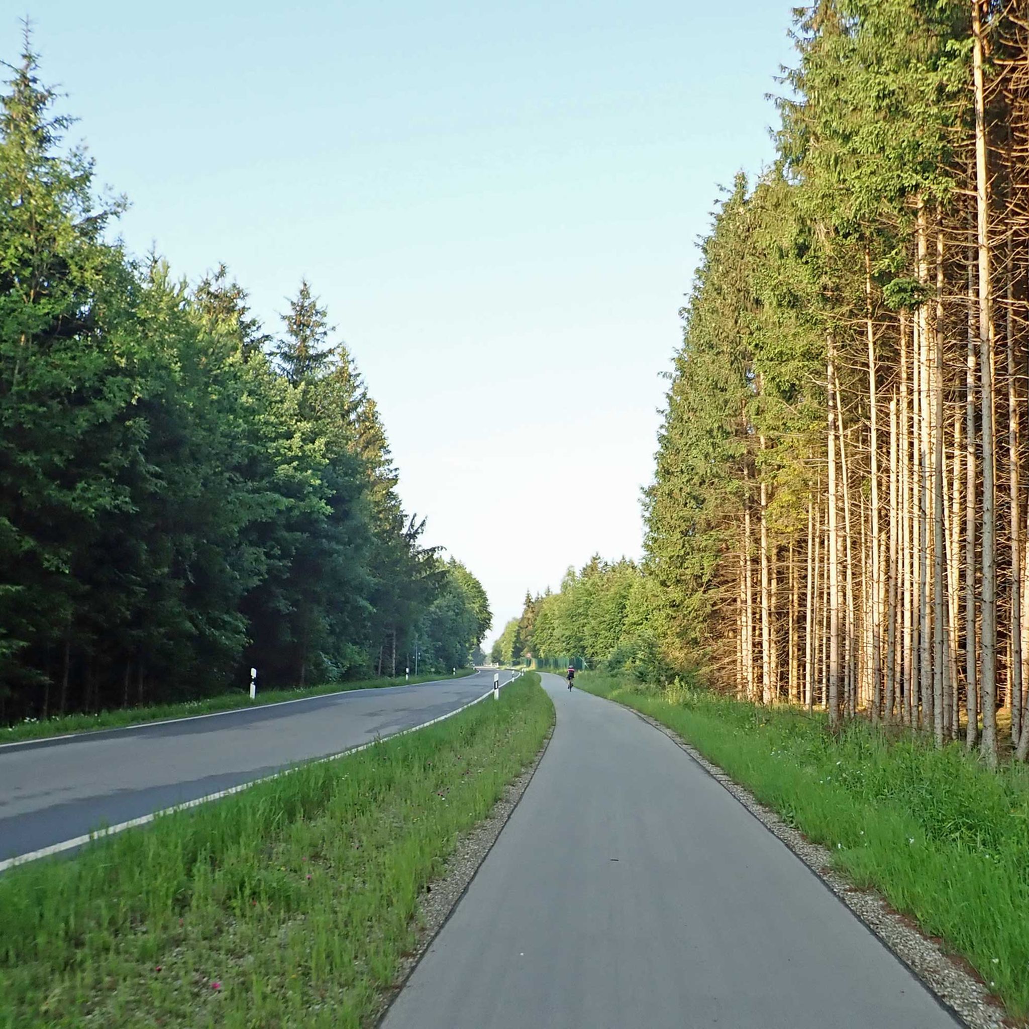
Highly recommended despite the nearby federal highway. The cycle path is wide enough, there is a few meters distance to the federal highway, good asphalt, and there are a few mountains to the south. Clearly recommended.
1
0

Be careful when going downhill. ICE is particularly common in sections where the sun hardly reaches in winter.
0
0
Frequently Asked Questions
How many road cycling routes are available around Höhenkirchen-Siegertsbrunn?
There are over 50 road cycling routes around Höhenkirchen-Siegertsbrunn, offering a diverse range of options for cyclists. These routes traverse scenic landscapes, including rolling hills and expansive green meadows.
Are there road cycling routes suitable for beginners or those seeking an easy ride?
Yes, Höhenkirchen-Siegertsbrunn offers 18 easy road cycling routes. A great option for a relaxed experience is the Cows by the Meadow Road loop from Höhenkirchen-Siegertsbrunn, which is 22.8 miles (36.8 km) long and leads through idyllic meadows with minimal elevation gain.
What kind of terrain can I expect on road cycling routes in Höhenkirchen-Siegertsbrunn?
The region is characterized by rolling hills and expansive green meadows. While many routes offer gentler terrain, more ambitious cyclists can find challenging ascents, such as the climb towards Wendelsteinstraße, which provides panoramic views. The area also features well-maintained cycle paths and quiet side streets.
Are there any challenging road cycling routes for experienced riders?
Absolutely. For experienced cyclists, there are 4 difficult routes available. A notable challenging option is the Valepp Valley Scenic Road – Valepp Scenic Road loop from Wächterhof, an 80.3 miles (129.2 km) trail with significant elevation gain, offering extensive scenic road cycling.
What is the best time of year for road cycling in Höhenkirchen-Siegertsbrunn?
The best seasons for road cycling in Höhenkirchen-Siegertsbrunn are generally spring and summer. During these months, the natural surroundings are in full bloom, and the weather is ideal for exploring the region's diverse routes.
Are there any circular road cycling routes available?
Yes, many of the road cycling routes in Höhenkirchen-Siegertsbrunn are designed as loops. For instance, the Steinsee Climb from Moosach – View of the Alps loop from Höhenkirchen-Siegertsbrunn is a 50.2 miles (80.7 km) circular route offering varied terrain and distant views of the Alps.
What scenic viewpoints or attractions can I find along the road cycling routes?
Many routes offer breathtaking views of the surrounding countryside, including distant views of the Alps. Cyclists can also encounter points of interest like the Egmating Castle or the tranquil Zinneberg Castle Pond. The Gleißental Valley also provides a picturesque natural feature.
Are there places to stop for refreshments or food along the routes?
Yes, the region offers several charming stops. The Ayinger Bräustüberl & Beer Garden in nearby Aying is a traditional brewery perfect for refreshments. Another popular spot is the Kugler Alm, reputed to be the birthplace of the 'Radler-Maß,' offering a spacious beer garden with food.
Can I access road cycling routes using public transport?
Höhenkirchen-Siegertsbrunn's cycling infrastructure connects to broader regional routes, including the Perlacher Forst Bike Path, which serves as a conduit to routes outside Munich. This suggests potential access points via public transport connections to Munich, though specific route-to-public-transport links would require local timetable consultation.
What do other road cyclists enjoy most about road cycling in Höhenkirchen-Siegertsbrunn?
The area is highly rated by the komoot community, with an average score of 4.7 stars from over 100 reviews. Cyclists often praise the region's blend of accessible, well-maintained paths, opportunities for challenging ascents, and the beautiful natural scenery, including distant views of the Alps.
Are there any routes that connect to larger regional cycling networks?
Yes, the well-developed network of cycle paths in Höhenkirchen-Siegertsbrunn connects to broader regional and international cycling routes. Notably, the Isar/Inn cycle route is accessible, and the Perlacher Forst Bike Path provides an excellent connection for road cyclists to routes outside Munich.
Are there any routes with minimal elevation for a flatter ride?
Many of the easy routes feature minimal elevation gain, making them suitable for a flatter ride. For example, the Möschenfeld–Harthausen Cycle Path – Cycle Path Near Egmating loop from Höhenkirchen-Siegertsbrunn is an easy 20.7 miles (33.3 km) route with very little climbing, ideal for those seeking a less strenuous experience.
Most popular routes around Höhenkirchen-Siegertsbrunn
Most popular attractions around Höhenkirchen-Siegertsbrunn

Get inspired with the komoot mobile app


Explore more
Browse the best Road cycling routes in other regions.
