The best road cycling routes in Vall Del Madriu-Perafita-Claror
4.4
(328)
24,285
riders
103
rides
Road cycling routes in Vall Del Madriu-Perafita-Claror traverse a glacial valley characterized by rugged mountains, dense forests, and high-altitude meadows. This UNESCO World Heritage Site in southeastern Andorra features challenging terrain with significant elevation gains. The region's topography includes glacial cirques and a network of lakes, offering varied landscapes for road cyclists.
Best road cycling routes in Vall Del Madriu-Perafita-Claror
- The most popular road cycling route is Port de la Comella – Lake Engolasters loop from les Escaldes, a…
Last updated: July 10, 2026
3.7
(3)
471
riders
49.5km
03:33
1,760m
1,760m
Hard road ride. Very good fitness required. Mostly well-paved surfaces and easy to ride.
4.7
(3)
191
riders
85.0km
04:32
1,590m
1,590m
Hard road ride. Very good fitness required. Some segments of this route may be unpaved and difficult to ride.

Sign up for free
5.0
(1)
252
riders
48.3km
02:44
1,070m
1,070m
Hard road ride. Very good fitness required. Mostly well-paved surfaces and easy to ride.
77
riders
15.6km
01:08
600m
590m
Moderate road ride. Good fitness required. Mostly well-paved surfaces and easy to ride.
46
riders
14.1km
01:03
500m
500m
Moderate road ride. Good fitness required. Mostly well-paved surfaces and easy to ride.
Get access to more routes and recommendations from other explorers.
Sign up for free
Already have an account?
Our route recommendations are based on thousands of hikes, rides, and runs completed by other people on komoot.
Start today with a free account
Your next adventure awaits.
Login or Signup
Popular around Vall Del Madriu-Perafita-Claror

Catalonia and Andorra on the Pyrenean Trail – GR 11
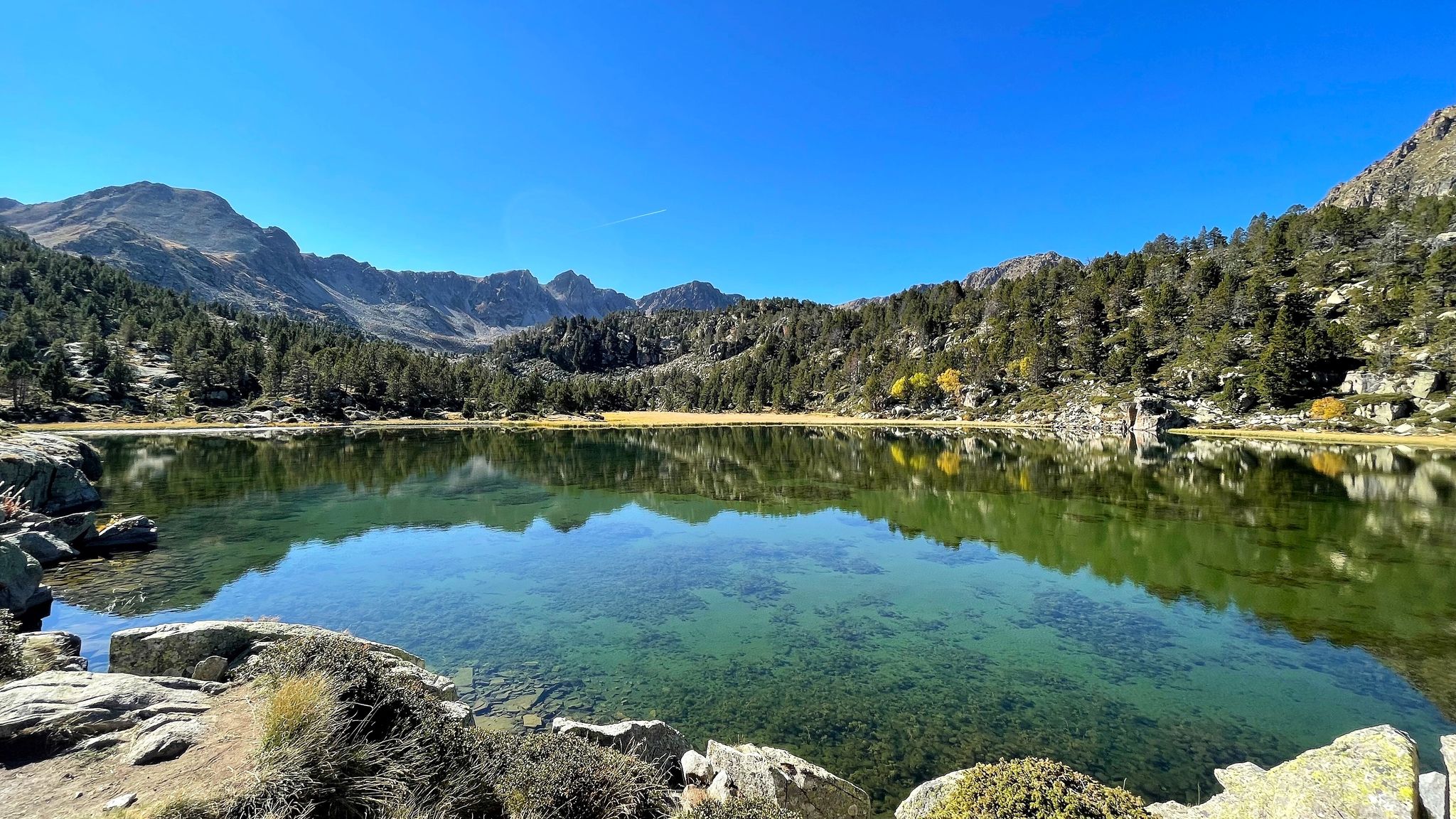
A Pyrenean experience – traversing beautiful Andorra (GR 7)
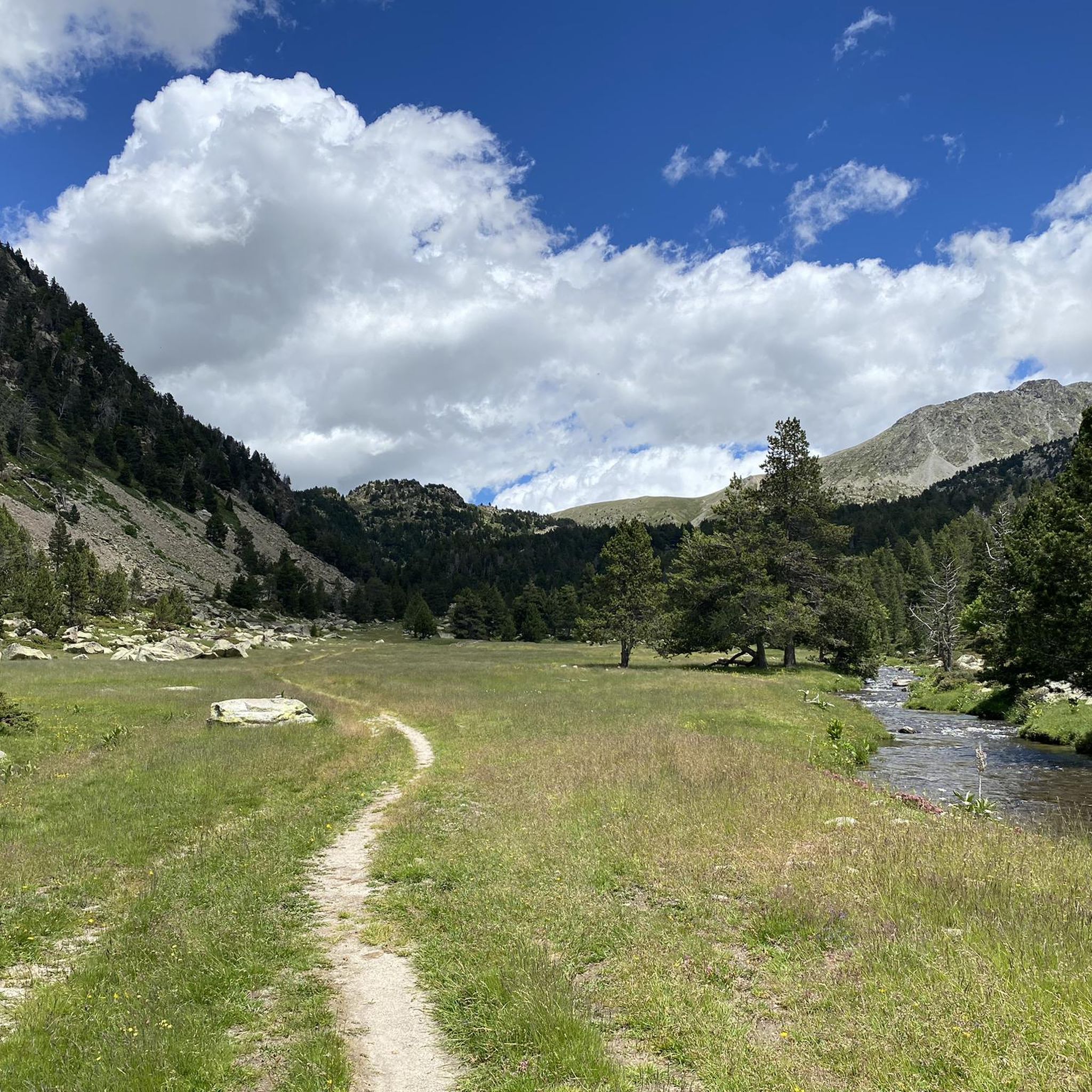
Hiking in Vall Del Madriu-Perafita-Claror
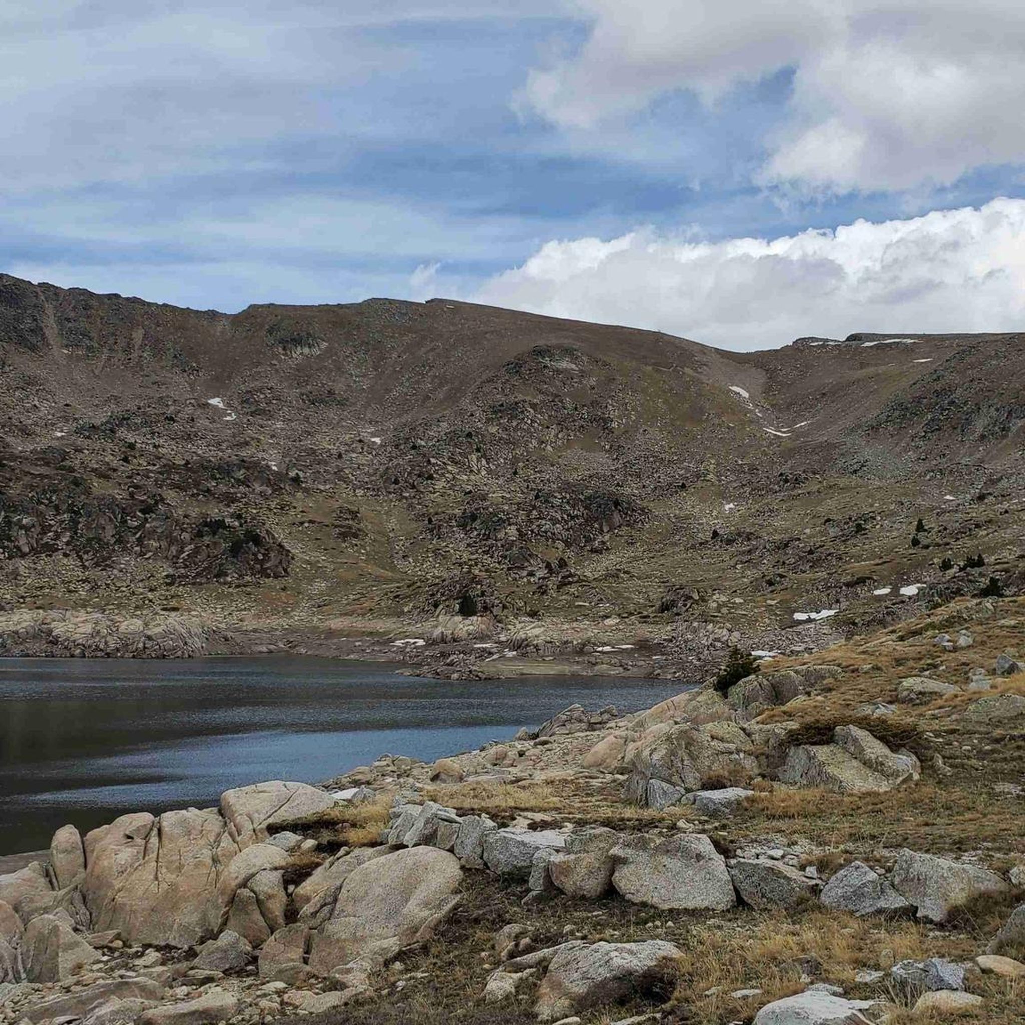
Running Trails in Vall Del Madriu-Perafita-Claror
Cycling in Vall Del Madriu-Perafita-Claror
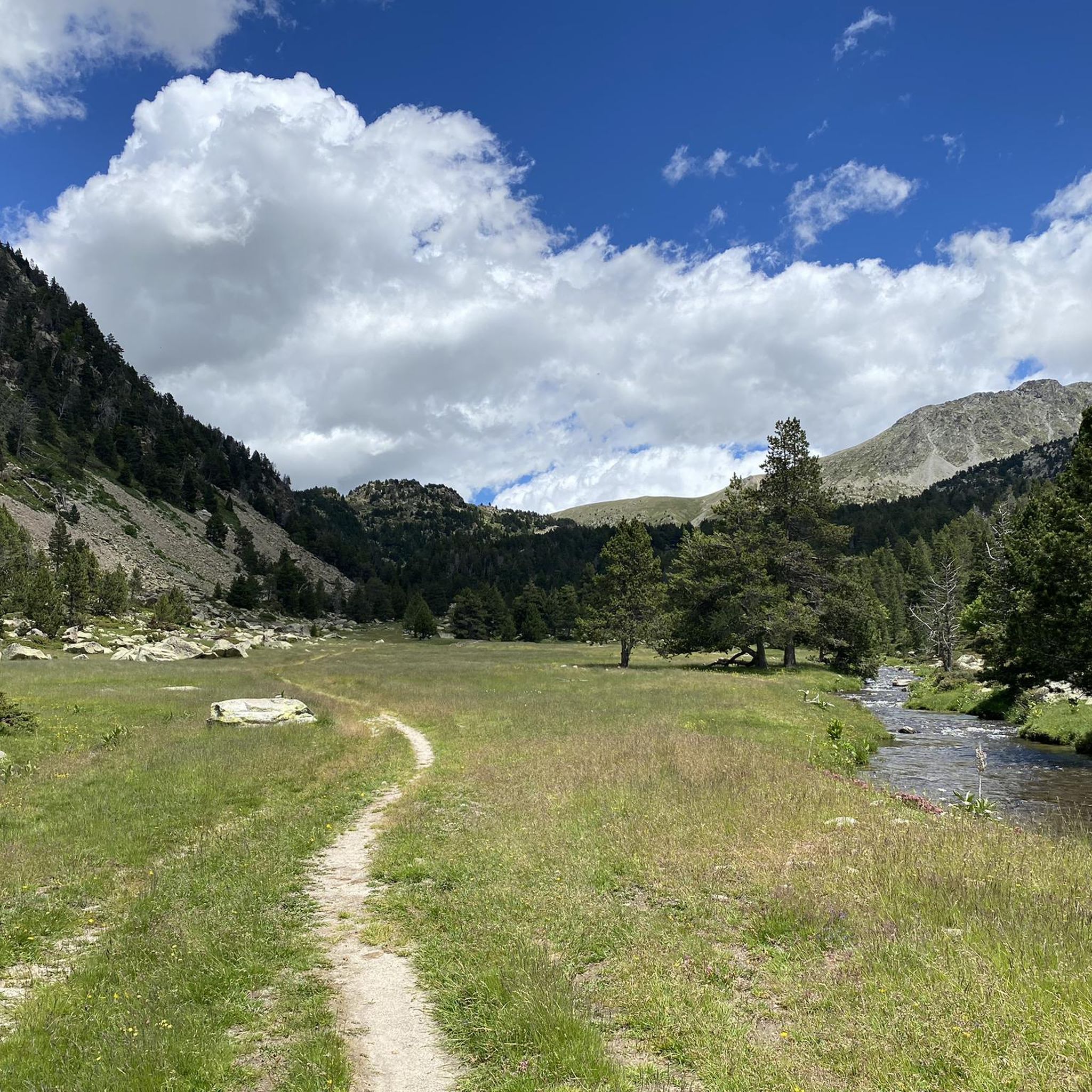
MTB Trails in Vall Del Madriu-Perafita-Claror
Gravel biking in Vall Del Madriu-Perafita-Claror
Mountain Hikes in Vall Del Madriu-Perafita-Claror
Other adventures in Vall Del Madriu-Perafita-Claror


Tips from the Community


From km 2 onwards the road is closed to traffic most hours of the day, so the climb is very quiet.
0
0

Spectacular video mapping that projects the frescoes that decorated the church onto the walls, exciting.
0
0

“L'aigua i la forma”: sculpture fountain on the banks of the Valira river + footpath between the historic Tosca and Engordany bridges Water, especially thermal water, is seen as a defining element of the municipality. Thermal baths have played a major role in the economic development of Escaldes-Engordany. The district where the sculpture is located is surrounded by thermal water, which was used in the textile industry, for example. See also ‘Font del Roc del Metge’ https://www.komoot.com/de-de/highlight/5318289 and ‘Caldea’ https://www.komoot.com/de-de/highlight/4414409
0
0

Beautiful Romanesque church with a bell tower. Typical construction of Andorran Romanesque architecture.
0
0

La Comella, which I can tell you is my closest mountain to home. Day in and day out I climb it short and nice.
0
0

Frequently Asked Questions
What is the typical terrain and elevation gain like for road cycling in Vall del Madriu-Perafita-Claror?
The Vall del Madriu-Perafita-Claror region is characterized by its dramatic glacial topography, featuring rugged mountains, dense forests, and high-altitude meadows. Road cycling routes often involve significant elevation gains, with many challenging climbs. For example, the Port de la Comella – Lake Engolasters loop from les Escaldes covers nearly 50 km with over 1,760 meters of elevation gain.
Are there challenging road cycling routes in the Vall del Madriu-Perafita-Claror region?
Yes, the region is renowned for its challenging climbs, making it a popular destination for experienced road cyclists. Andorra, which encompasses the valley, boasts 21 mountain passes, and routes often feature substantial elevation. Examples include the Coll de la Gallina and Collada de Beixalís, with sections exceeding a 10% gradient. The Port de la Comella – Lake Engolasters loop from les Escaldes is a difficult route with significant elevation.
Are there easier road cycling options for beginners or families in Vall del Madriu-Perafita-Claror?
While the region is known for its challenging terrain, there are also moderate options available. For instance, the Pont de la Margineda – Pont de Madrid loop from Andorra la Vella is a moderate 22.2 km ride suitable for various fitness levels. Another accessible option is the View of Andorra la Vella – Port de la Comella loop from les Escaldes, which is 16.2 km long.
What natural landmarks or scenic views can I expect to see while road cycling in the Vall del Madriu-Perafita-Claror?
The valley offers stunning natural beauty. You can expect panoramic views of rugged mountains, pristine forests, and crystal-clear lakes. Notable natural features include the Madriu-Perafita-Claror Valley itself, glacial cirques, and lakes like Estany de la Nou and Estany de l'Illa. Routes like the Winding Forest Road – Lake Engolasters loop offer particularly picturesque journeys.
Are there any historical or cultural points of interest along the cycling routes in Vall del Madriu-Perafita-Claror?
Yes, the valley is rich in cultural heritage. You might encounter centuries-old shepherds' huts, known as 'bordes,' and dry stone walls, which are remnants of traditional pastoral life. Settlements like Entremesaigües and Ràmio Guard House still host small summertime populations of shepherds. Ancient iron mines and an 'Old Stone Path' also add to the historical appeal.
What do other road cyclists enjoy most about road cycling in Vall del Madriu-Perafita-Claror?
The area is highly rated by the komoot community, with an average score of 4.3 stars from over 300 reviews. Cyclists often praise the challenging terrain, the breathtaking scenery of the glacial valley, and the extensive network of well-signposted mountain roads that cater to various fitness levels.
When is the best time of year to go road cycling in Vall del Madriu-Perafita-Claror?
The best time for road cycling is typically from late spring to early autumn (May to October) when the weather is milder and mountain passes are clear of snow. High-altitude meadows burst with wildflowers in spring, fed by snowmelt, offering beautiful scenery. Summer provides warmer temperatures, ideal for tackling the significant elevation gains.
Are there circular road cycling routes available in Vall del Madriu-Perafita-Claror?
Yes, many of the road cycling routes in the region are designed as loops, allowing you to start and finish in the same location. Examples include the challenging Port de la Comella – Lake Engolasters loop from les Escaldes and the moderate Pont de la Margineda – Pont de Madrid loop from Andorra la Vella.
How many road cycling routes are available in Vall del Madriu-Perafita-Claror?
There are nearly 100 road cycling routes available in the Vall del Madriu-Perafita-Claror region, offering a wide range of options for different skill levels and preferences. This includes 12 easy routes, 50 moderate routes, and 36 difficult routes.
Is public transport available to access road cycling routes in the Vall del Madriu-Perafita-Claror region?
Andorra has a public bus network that connects its main towns and villages, which can be useful for accessing different starting points for cycling routes. However, specific information on transporting bicycles on these services or direct access to the more remote parts of the UNESCO World Heritage site via public transport is not readily available and would require checking local bus schedules and policies.
What kind of wildlife might I encounter while cycling in Vall del Madriu-Perafita-Claror?
The diverse ecosystem of the valley supports a variety of wildlife. While cycling, you might spot Pyrenean chamois, marmots, roe deer, wild boars, and foxes. The area is also home to golden eagles, making it a prime spot for nature observation, especially in quieter sections of the routes.
Are there any specific permits required for road cycling in Vall del Madriu-Perafita-Claror?
Generally, no specific permits are required for road cycling on the established routes within the Vall del Madriu-Perafita-Claror. As a UNESCO World Heritage Site, the valley is committed to preservation, and visitors are expected to respect the natural environment and follow standard outdoor ethics. Always stay on marked paths and roads.
Most popular routes in Vall Del Madriu-Perafita-Claror
Most popular attractions in Vall Del Madriu-Perafita-Claror

Get inspired with the komoot mobile app


