Wildruhefläche Ankerschlag
Wildruhefläche Ankerschlag
The best road cycling routes in Wildruhefläche Ankerschlag
4.6
(111)
6,088
riders
32
rides
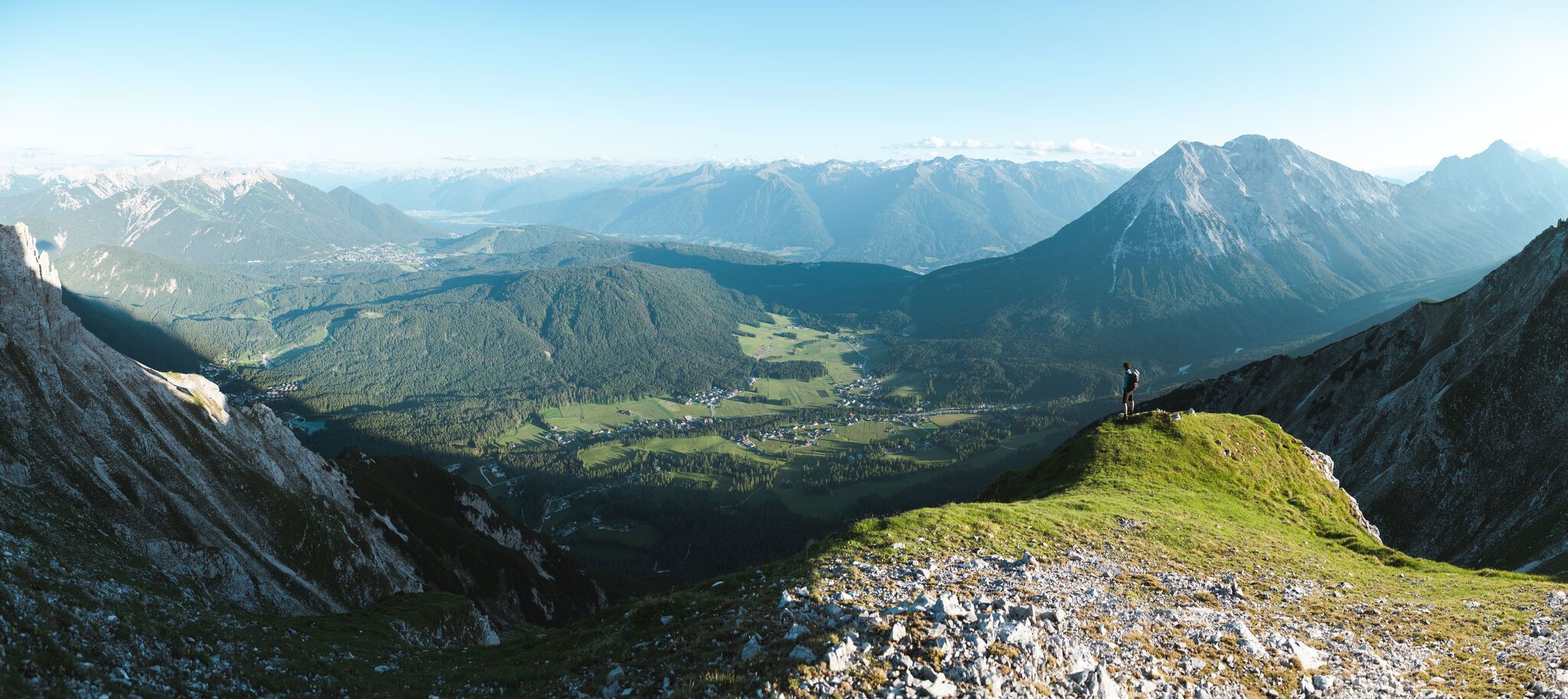
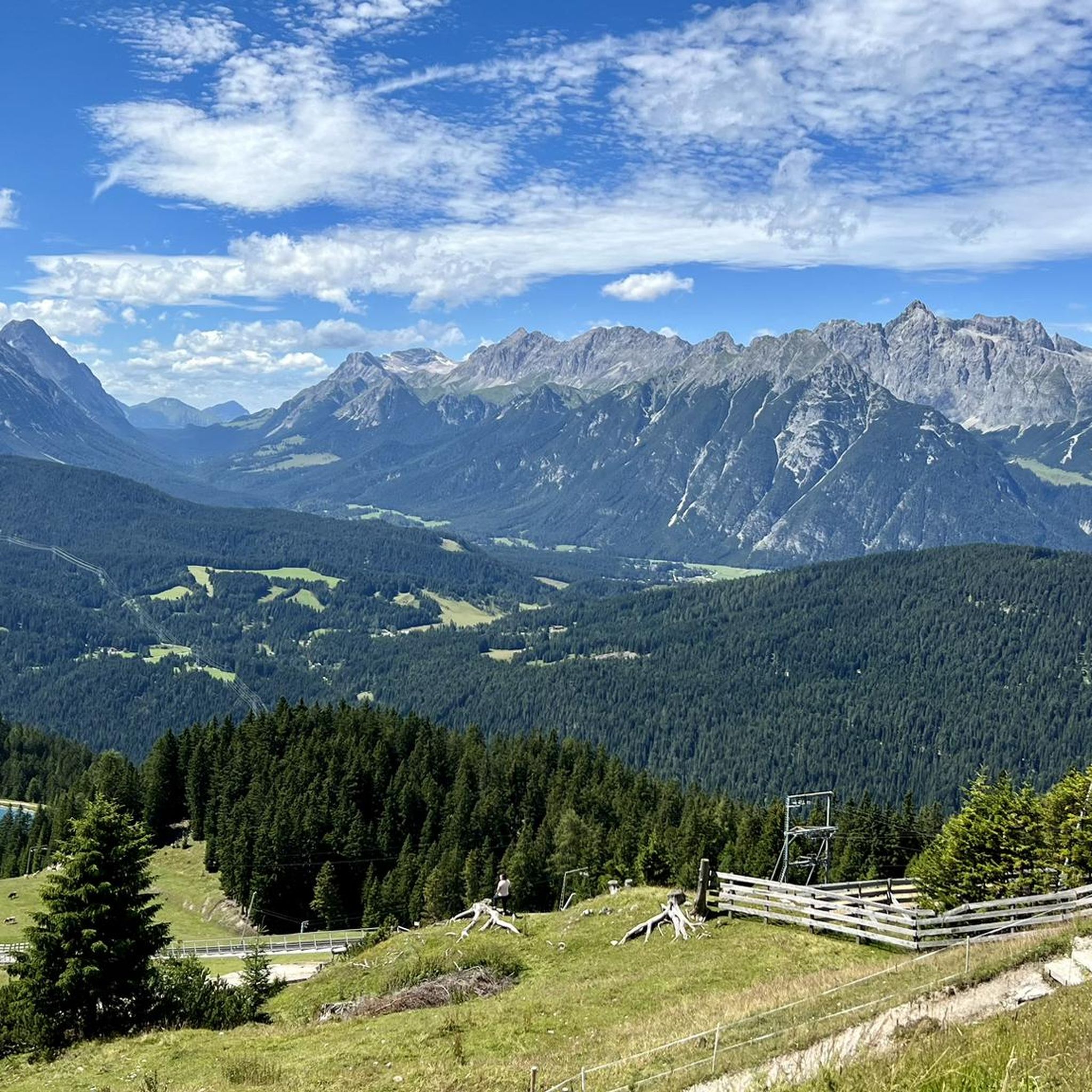
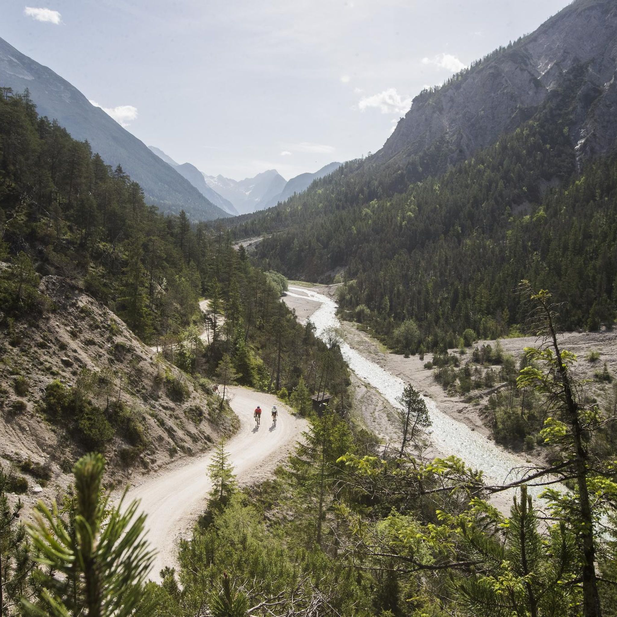
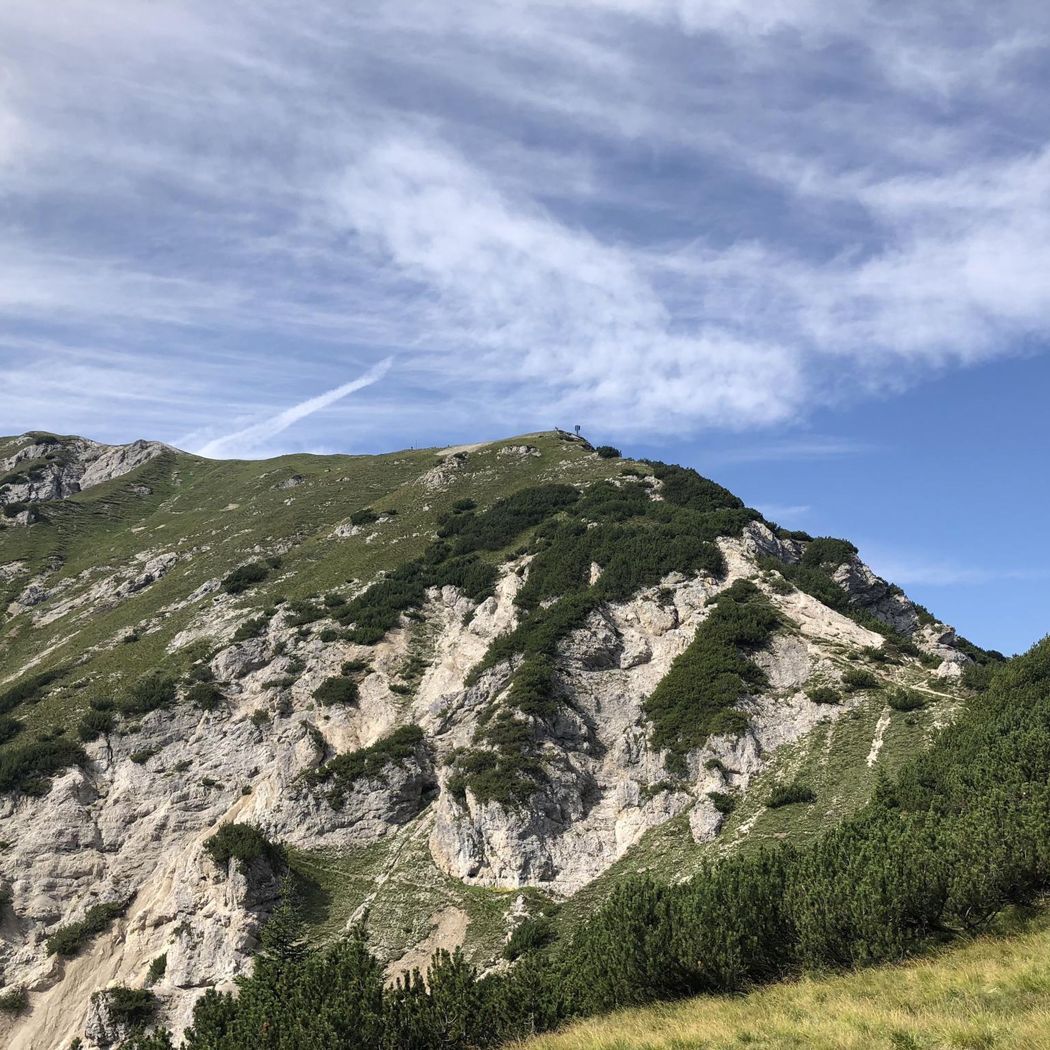
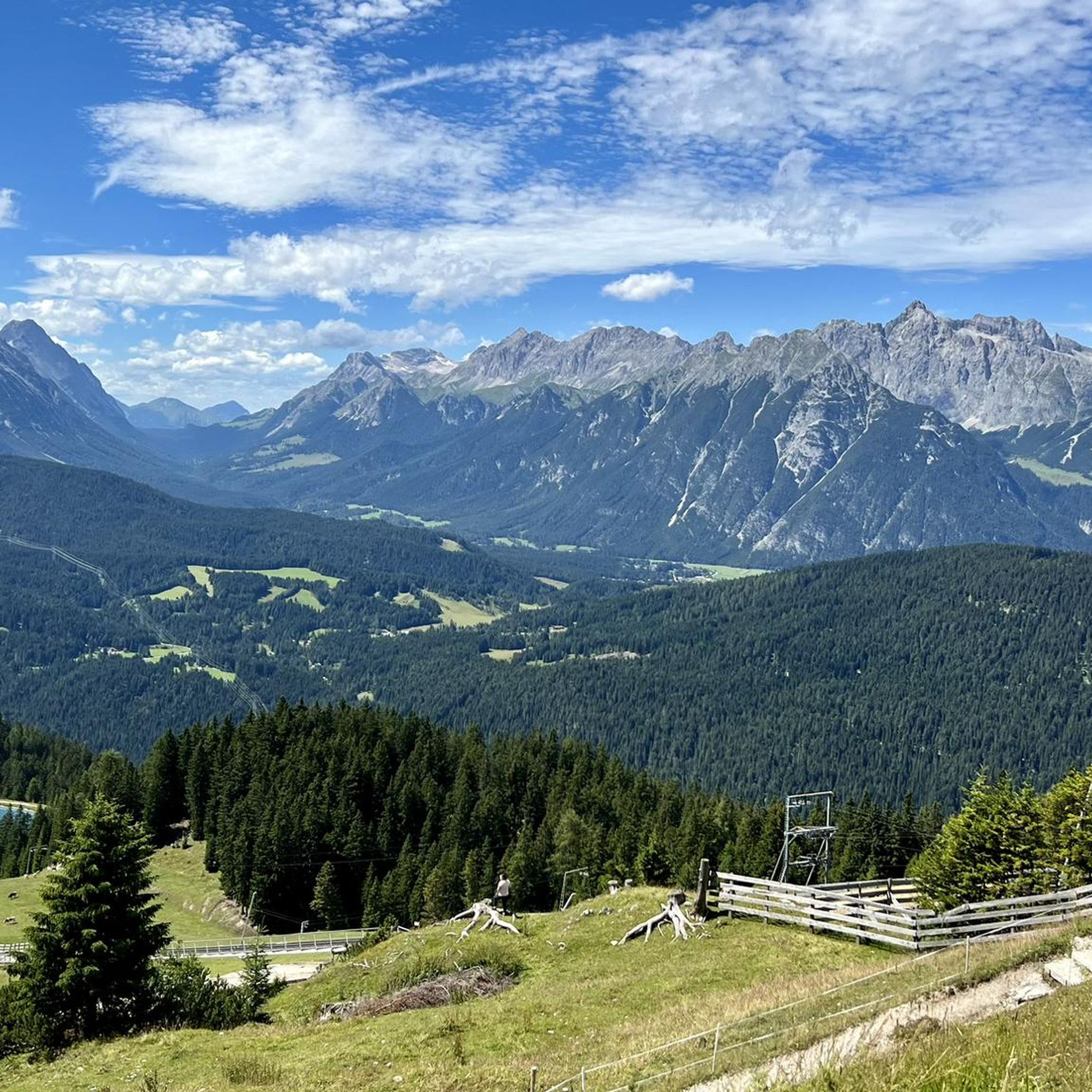
Road cycling routes in Wildruhefläche Ankerschlag are situated within the Region Seefeld – Tirols Hochplateau in Austria, offering diverse terrain for cyclists. The area is characterized by a high plateau at approximately 1,200 meters above sea level, providing mountainous scenery and expansive views. Routes often traverse picturesque valleys, lush meadows, and serene forests, with some incorporating natural features like the Leutasch Stream.
Best road cycling routes in Wildruhefläche Ankerschlag
- The most popular road cycling route is Mösern Climb – Descent…
Last updated: July 10, 2026
5.0
(7)
510
riders
75.8km
03:53
1,270m
1,270m
Hard road ride. Very good fitness required. Mostly well-paved surfaces and easy to ride.
5.0
(1)
22
riders
Easy road ride. Great for any fitness level. Mostly well-paved surfaces and easy to ride.

Sign up for free
3.3
(3)
142
riders
36.7km
01:37
360m
360m
Moderate road ride. Good fitness required. Mostly well-paved surfaces and easy to ride.
40
riders
88.6km
03:52
810m
810m
Moderate road ride. Good fitness required. Mostly well-paved surfaces and easy to ride.
3.0
(2)
53
riders
25.6km
01:38
740m
740m
Moderate road ride. Good fitness required. Mostly well-paved surfaces and easy to ride.
Get access to more routes and recommendations from other explorers.
Sign up for free
Already have an account?
Our route recommendations are based on thousands of hikes, rides, and runs completed by other people on komoot.
Start today with a free account
Your next adventure awaits.
Login or Signup
Popular around Wildruhefläche Ankerschlag
Other adventures in Wildruhefläche Ankerschlag

Tips from the Community

You should really have a coffee here. https://www.viktor-kaffeehaus.at/
0
0
One of the many fountains of the place
0
0
It's just the living room of the city. https://www.seefeld.com/de/infrastrukturen/pfarrkirche-st-oswald.html
0
0

Cafés invite you to linger
0
0

Beautiful town center with many places to stop for refreshments. The municipality lies on a plateau between the Wetterstein Mountains and the Karwendel Mountains, on an old road from Mittenwald to Innsbruck that has been important since the Middle Ages.
1
0

Brilliant from every angle, the Hohe Munde.
0
0

Inn Bridge near Telfs
0
0

I went through here with 12 cyclists and everyone really enjoyed it. It's happening here
2
0
Frequently Asked Questions
How many road cycling routes are available in Wildruhefläche Ankerschlag?
The Wildruhefläche Ankerschlag region offers over 30 road cycling routes. These routes cater to various skill levels, including 9 easy, 20 moderate, and 3 difficult options, ensuring a suitable ride for every cyclist.
What kind of terrain can I expect on road cycling routes in Wildruhefläche Ankerschlag?
Road cycling in Wildruhefläche Ankerschlag is characterized by its stunning mountainous scenery and high plateau views, situated at approximately 1,200 meters above sea level. Routes often traverse picturesque valleys, lush meadows, and serene forests, with some incorporating natural features like the Leutasch Stream. You can expect both challenging climbs and more leisurely stretches.
Are there routes suitable for beginners or more challenging rides in Wildruhefläche Ankerschlag?
Yes, the region offers a diverse range of routes. There are 9 easy routes perfect for beginners or those seeking a relaxed ride, 20 moderate routes for intermediate cyclists, and 3 difficult routes for experienced riders looking for a significant challenge with considerable elevation changes.
What is the best time of year for road cycling in the Wildruhefläche Ankerschlag region?
The best time for road cycling in the Wildruhefläche Ankerschlag region, part of the broader Region Seefeld – Tirols Hochplateau, is typically from late spring through early autumn. During these months, the weather is generally favorable, and the routes are clear of snow, offering optimal conditions to enjoy the scenic landscapes.
Are there any family-friendly road cycling routes in Wildruhefläche Ankerschlag?
While specific routes are not explicitly labeled 'family-friendly' in the data, the region offers 9 easy and 20 moderate routes. These often feature well-maintained paths through valleys and meadows, which can be suitable for families depending on their cycling experience. For example, the Leutasch Valley Scenic Road – Leutasch sign loop from Seefeld in Tirol is a moderate 21.8-mile route that follows the scenic Leutasch Stream, which might be enjoyable for families with some cycling experience.
What do other road cyclists enjoy the most about road cycling in Wildruhefläche Ankerschlag?
The area is highly rated by the komoot community, with an average score of 4.6 stars from over 85 reviews. Reviewers often praise the diverse terrain, from challenging climbs to scenic valley rides, and the breathtaking mountainous scenery. The well-maintained infrastructure and variety of routes for different ability levels are also frequently highlighted.
Are there any scenic viewpoints or attractions along the road cycling routes?
Yes, the region offers several scenic viewpoints and attractions that can be incorporated into your rides. Notable spots include the Rosshütte Mountain Station, the Seefelder Joch Summit & Panoramic Viewpoint, and the unique Feng Shui Power Bench. Routes like the View of the Zugspitze – Häselgehrbach Waterfall loop from Scharnitz also offer stunning vistas, including views of the Zugspitze.
Is there parking available for road cyclists in Wildruhefläche Ankerschlag?
While specific parking areas directly within Wildruhefläche Ankerschlag are not detailed, the broader Region Seefeld – Tirols Hochplateau, which encompasses this area, is well-equipped for outdoor enthusiasts. You can typically find parking facilities in nearby towns like Seefeld in Tirol, Scharnitz, or Mittenwald, which serve as common starting points for many cycling routes.
How can I reach the road cycling routes in Wildruhefläche Ankerschlag by public transport?
The Wildruhefläche Ankerschlag region is part of the well-connected Region Seefeld. Public transport options, including train and bus services, are available to reach key towns like Seefeld in Tirol, Scharnitz, and Mittenwald. These towns often serve as excellent starting points for road cycling routes, allowing you to access the trails without a car.
Are there any loop trails for road cycling in the Wildruhefläche Ankerschlag area?
Yes, many of the road cycling routes in Wildruhefläche Ankerschlag are designed as loops, offering varied scenery without retracing your path. Examples include the challenging Mösern Climb – Descent to Telfs loop from Gießenbach and the moderate Seefeld Archway – View of the Seefeld Ski Jumps loop from Scharnitz.
Can I find cafes or accommodation along the road cycling routes in the region?
The Wildruhefläche Ankerschlag is situated within the Region Seefeld – Tirols Hochplateau, which is a popular tourist destination. You will find numerous cafes, pubs, and accommodation options in the surrounding towns such as Seefeld in Tirol, Scharnitz, and Mittenwald. Many routes pass through or near these villages, providing convenient stops for refreshments or overnight stays.
What are some of the most popular road cycling routes in Wildruhefläche Ankerschlag?
Among the most popular routes are the challenging Mösern Climb – Descent to Telfs loop from Gießenbach, known for its significant elevation changes. Another favorite is the moderate Leutasch Valley Scenic Road – Leutasch sign loop from Seefeld in Tirol, offering beautiful views along the Leutasch Stream. Cyclists also enjoy the View of the Zugspitze – Häselgehrbach Waterfall loop from Scharnitz for its varied terrain and panoramic views.
Most popular routes in Wildruhefläche Ankerschlag
Most popular attractions in Wildruhefläche Ankerschlag

Get inspired with the komoot mobile app


Explore more
Browse the best Road cycling routes in other regions.
