Wildruhefläche Gaistal
Wildruhefläche Gaistal
The best walks and hikes in Wildruhefläche Gaistal
4.6
(19806)
101,314
hikers
544
hikes
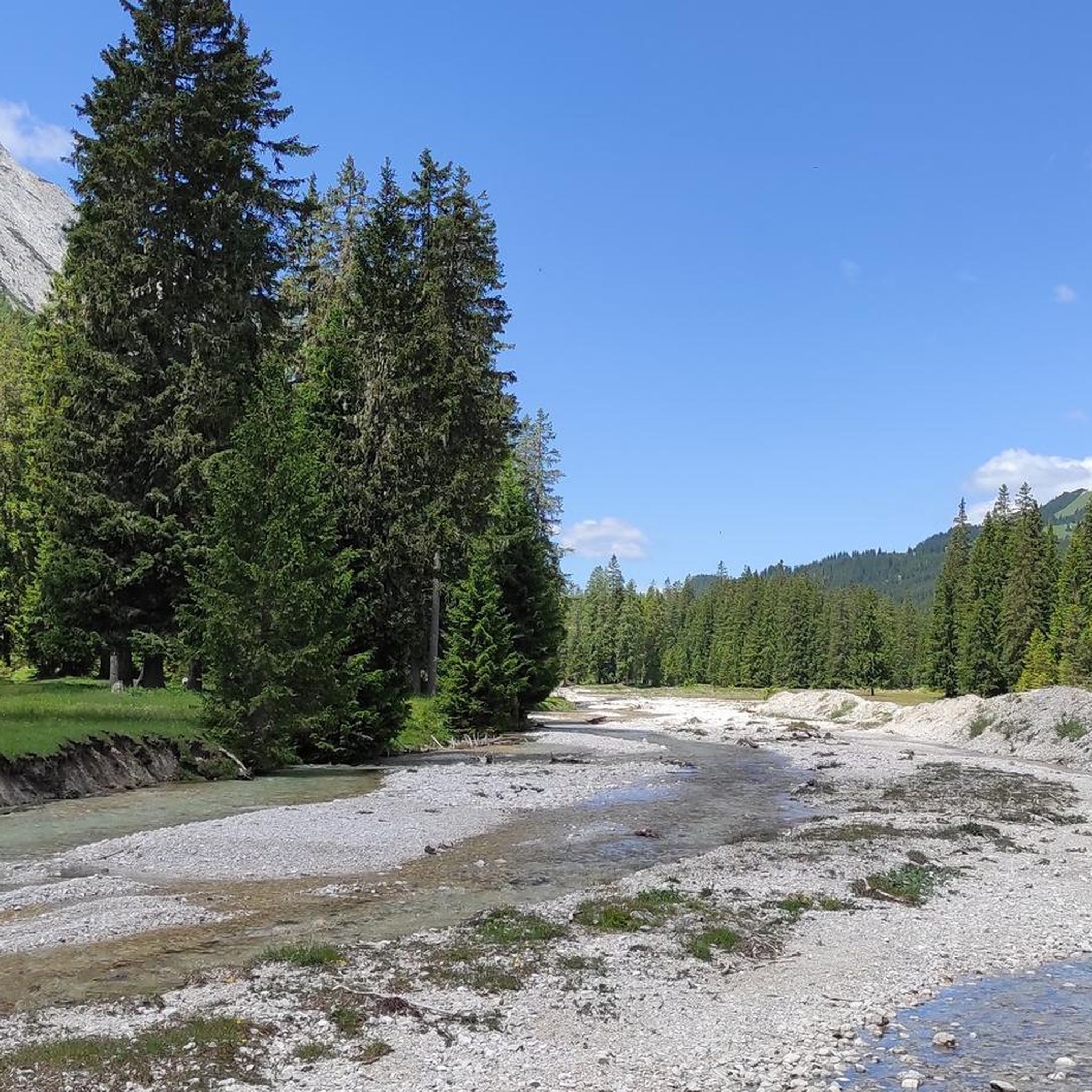
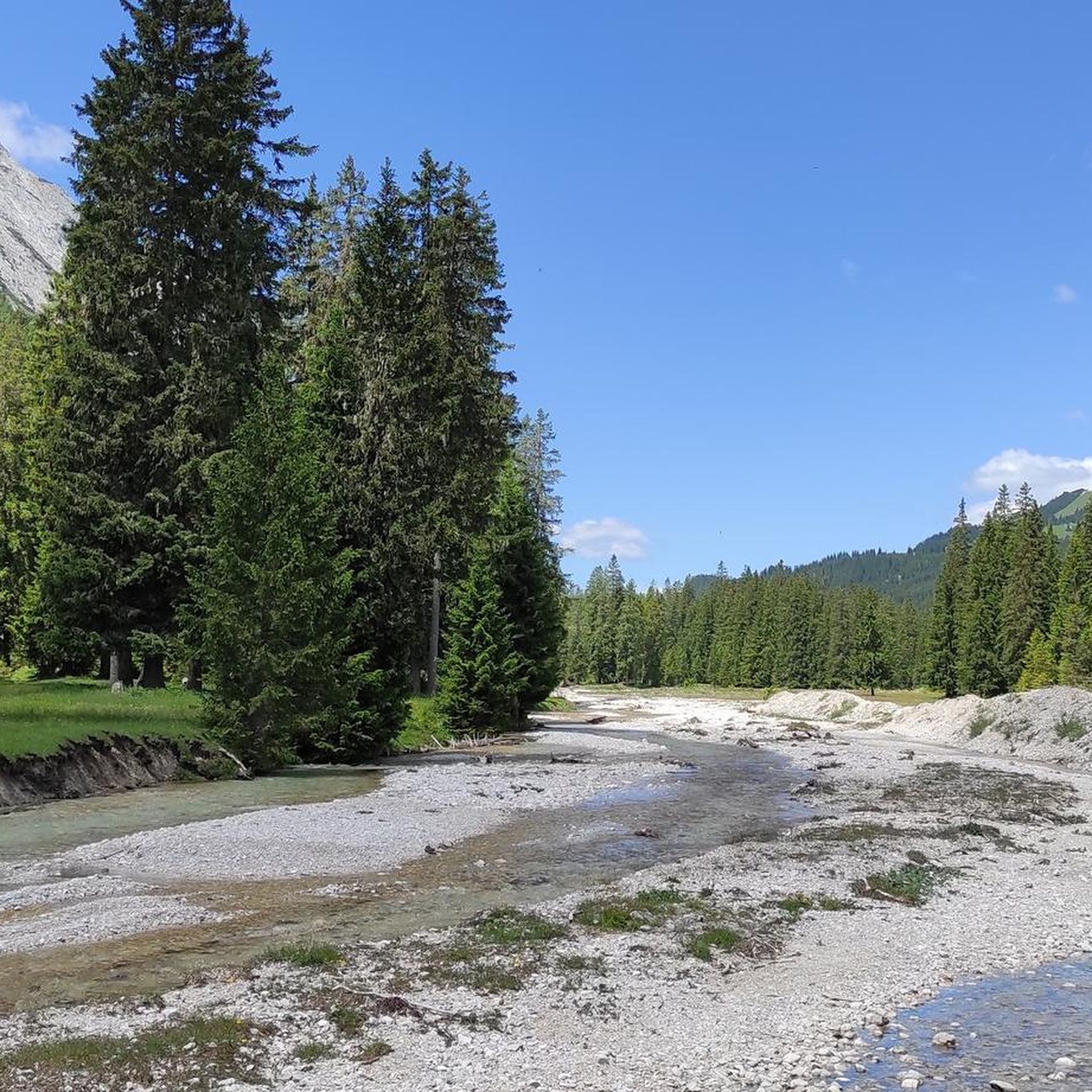
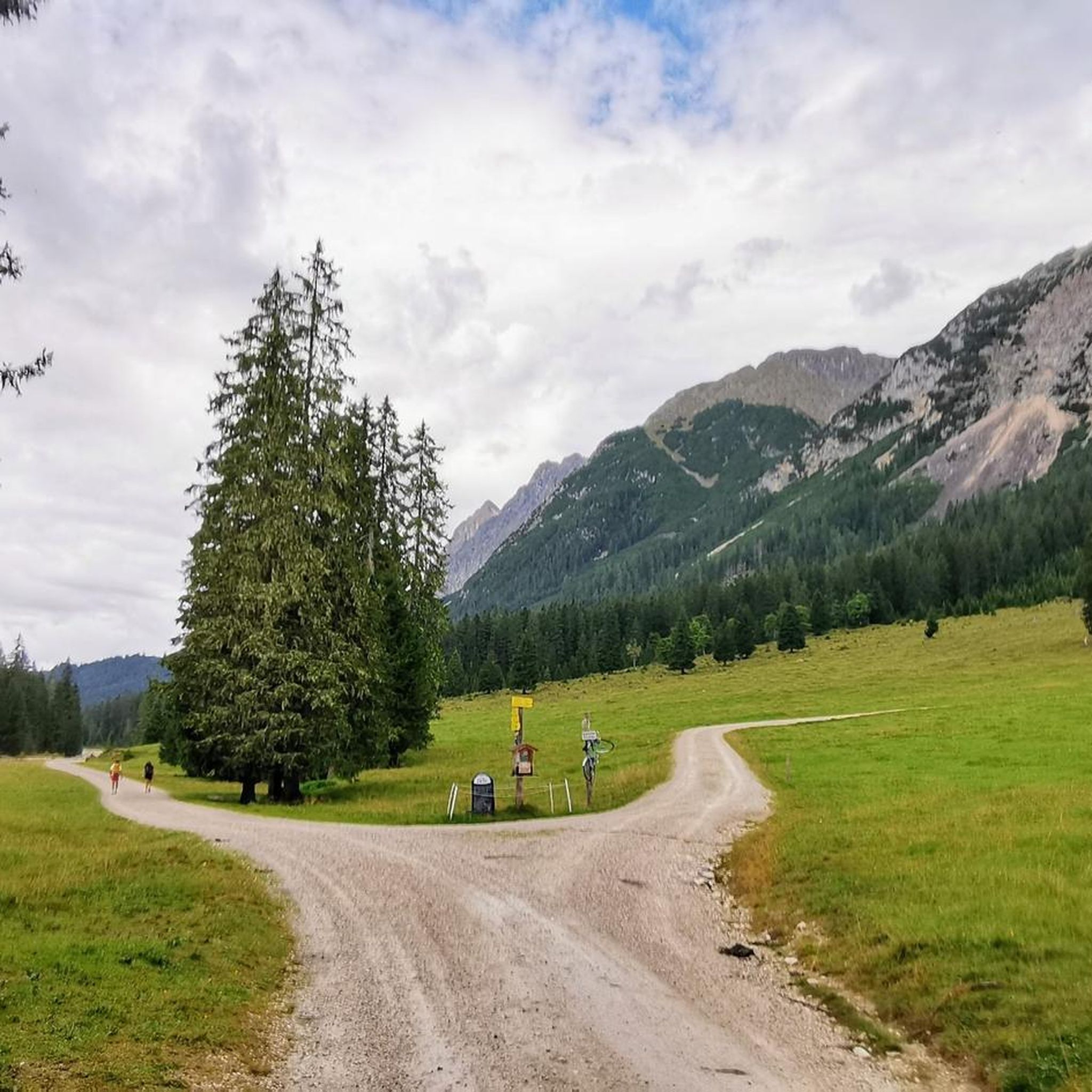
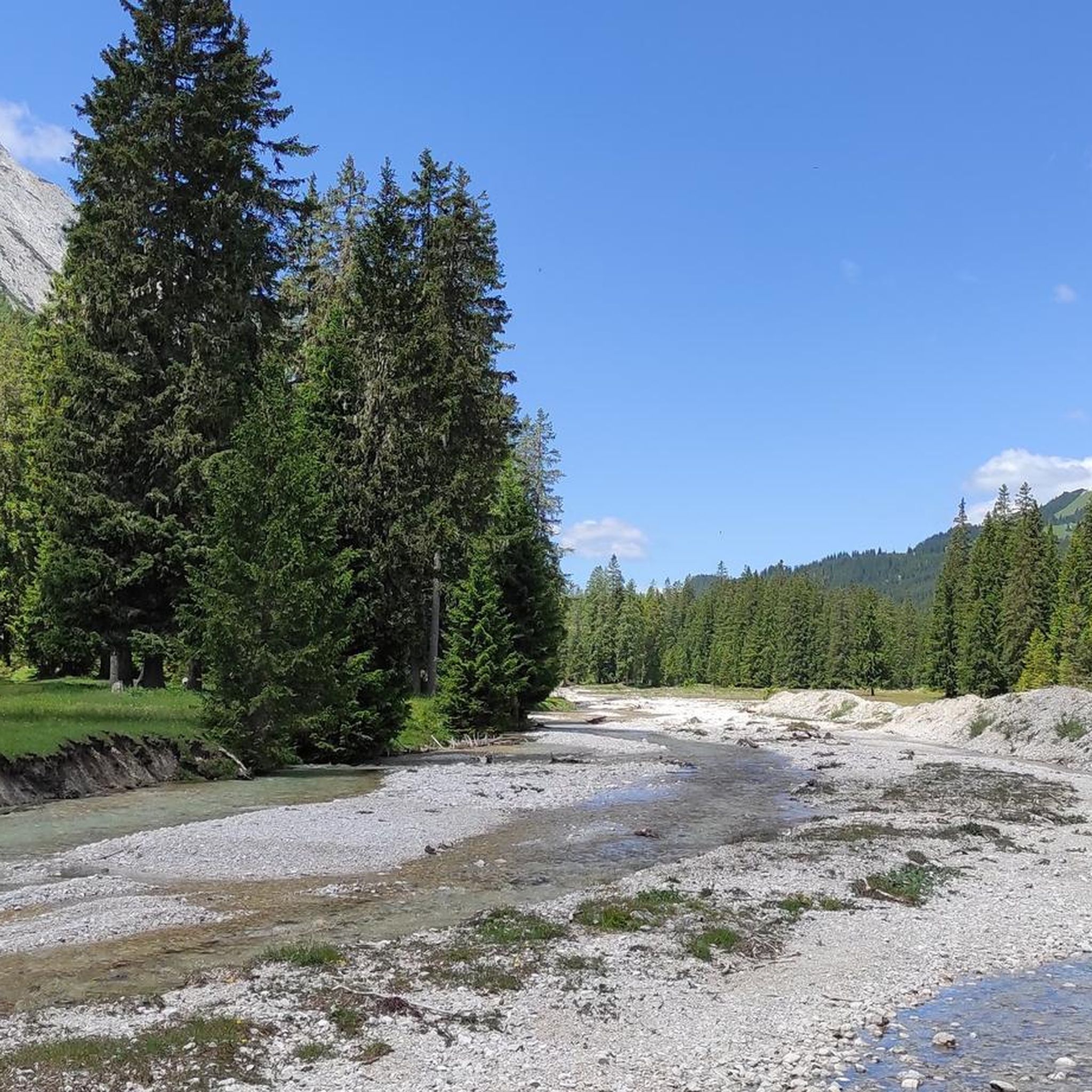
Hiking in Wildruhefläche Gaistal offers a diverse landscape characterized by wide alpine pastures, deep valleys, and surrounding mountain ranges. The region features a network of trails that traverse forests, meadows, and along clear mountain streams like the Leutascher Ache. It is dramatically framed by the Wetterstein Mountains and the Mieminger Range, providing varied topography from gentle valley walks to more challenging ascents.
Best hiking trails in Wildruhefläche Gaistal
- The most popular hiking route is Tillfussalm – Max-Klotz Trail loop from…
Last updated: July 4, 2026
5.0
(7)
56
hikers
14.4km
06:13
880m
880m
Hard hike. Very good fitness required. Sure-footedness, sturdy shoes and alpine experience required.
4.5
(4)
23
hikers
12.2km
05:29
760m
760m
Hard hike. Very good fitness required. Mostly accessible paths. Sure-footedness required.

Sign up for free
4.7
(3)
21
hikers
6.73km
03:20
520m
520m
Moderate hike. Good fitness required. Mostly accessible paths. Sure-footedness required.
4.5
(8)
40
hikers
16.1km
08:09
1,230m
1,230m
Hard hike. Very good fitness required. Sure-footedness, sturdy shoes and alpine experience required.
4.5
(2)
18
hikers
6.68km
03:19
520m
520m
Moderate hike. Good fitness required. Mostly accessible paths. Sure-footedness required.
Get access to more routes and recommendations from other explorers.
Sign up for free
Already have an account?
Our route recommendations are based on thousands of hikes, rides, and runs completed by other people on komoot.
Start today with a free account
Your next adventure awaits.
Login or Signup
Tips from the Community

It's really impressive when you reach the top on foot!
2
0

A very simple hut, but a welcome stop for a break below Predigtstein and Hochwanner. Drinks are available in the cold spring water (Spezi, apple spritzer €4, wheat beer €5 – all must be flown in by helicopter). Crossing to the Rotmoosalm or towards Gatterl. The ascent from the Gaistal takes about 1.5 hours.
2
0

The path to the Knorr Hut is quite rocky. Once you've reached it, you've earned something at the hut!
1
0

The path winds its way along narrow paths from one alpine pasture to the other, through small woods with, here and there, a group of cows lining the path, providing some variety 🤠
0
0

Good surefootedness required in heavy rain.
0
0


The Hochfeldern Alm's large sun terrace invites you to stop by and replenish your calories with hearty dishes. The hut also offers overnight accommodation (showers available) with dinner and breakfast. To book, please fill out the request form on the website beforehand.
3
0

A little further up the path continues towards Gatterl
1
0
Frequently Asked Questions
How many hiking trails are there in Wildruhefläche Gaistal?
Wildruhefläche Gaistal offers a vast network of trails, with over 550 hiking routes available. These range from easy strolls to challenging mountain ascents, catering to all experience levels.
What is the best season for hiking in Wildruhefläche Gaistal?
The best season for hiking in Wildruhefläche Gaistal is typically from late spring to early autumn (May to October). During this period, the weather is generally mild, alpine pastures are green, and most trails are free of snow. Always check local weather conditions before heading out.
Are there easy hiking trails suitable for beginners or families in Wildruhefläche Gaistal?
Yes, Wildruhefläche Gaistal has many easy trails perfect for beginners and families. There are 216 easy routes that traverse gentle terrain, often along river valleys and through meadows. A good example is the Gaistal — Alpine Pasture Paradise – Gaistal Alm loop from Leutasch, which is a moderate 6.6 km trail through picturesque alpine pastures.
Are dogs allowed on the hiking trails in Wildruhefläche Gaistal?
Generally, dogs are welcome on hiking trails in Wildruhefläche Gaistal, but it's crucial to keep them on a leash, especially in designated wildlife protection areas (Wildruheflächen) and near grazing livestock. Always carry waste bags and ensure your dog has enough water.
What kind of wildlife can I expect to see in Wildruhefläche Gaistal?
As a designated wildlife protection area, Wildruhefläche Gaistal is home to diverse alpine fauna. Hikers might spot chamois, ibex, marmots, and various bird species. Maintaining a respectful distance and staying on marked trails helps protect these animals.
Are there any circular walks in Wildruhefläche Gaistal?
Yes, Wildruhefläche Gaistal offers numerous circular walks, allowing you to start and end at the same point. Many routes, like the Tillfussalm – Gaistal Alm loop from Gaistal, are designed as loops, providing varied scenery without retracing your steps.
What are some notable natural attractions or landmarks to see along the trails?
The region is rich in natural beauty. You can explore highlights such as the Leutasch Stream and the Leutascher Ache in the Gaistal, which are central to many valley walks. The Niedere Munde Saddle also offers impressive views for more challenging hikes.
What do other hikers enjoy most about hiking in Wildruhefläche Gaistal?
The area is highly rated by the komoot community, with an average score of 4.6 stars from over 19,000 reviews. Hikers frequently praise the natural tranquility, the expansive alpine pastures, and the well-maintained trails that offer stunning mountain views.
Are there options for more challenging hikes with significant elevation gain?
Absolutely. For experienced hikers seeking a challenge, Wildruhefläche Gaistal features 99 difficult routes. Trails like the Tillfussalm – Max-Klotz Trail loop from Gaistal offer varied terrain and significant elevation gain, rewarding you with expansive mountain vistas.
Is there parking available for hikers in Wildruhefläche Gaistal?
Yes, there are several designated parking areas at common trailheads throughout Wildruhefläche Gaistal, particularly near popular starting points like Leutasch and Gaistal. Some parking lots may require a small fee, so it's advisable to carry some cash.
Can I find cafes or alpine huts along the hiking trails?
Yes, many trails in Wildruhefläche Gaistal lead past or to traditional alpine huts (Almen) and mountain restaurants where you can stop for refreshments, a meal, or a rest. These huts often serve local specialties and provide a welcoming break during your hike.
What should I wear for hiking in Wildruhefläche Gaistal?
Given the alpine environment, it's recommended to wear layered clothing that can be adapted to changing weather conditions. Sturdy hiking boots, rain gear, sun protection, and sufficient water are essential, especially for longer or higher-altitude routes.
Most popular routes in Wildruhefläche Gaistal
Most popular attractions in Wildruhefläche Gaistal

Get inspired with the komoot mobile app


Explore more
Browse the best Hikes in other regions.
