Wildschutzgebiet Rotwildfütterung Fugen
Wildschutzgebiet Rotwildfütterung Fugen
The best mountain hikes in Wildschutzgebiet Rotwildfütterung Fugen
4.8
(314)
2,360
hikers
86
hikes
Mountaineering routes in Wildschutzgebiet Rotwildfütterung Fugen are situated within the Zillertal Alps, a high mountain range in Austria characterized by glaciated areas and numerous peaks exceeding 3,000 meters. The terrain features rugged high mountains, deep gorges, and vast grazing areas in side valleys. Prominent glaciers contribute to the alpine character of the region, offering diverse challenges for mountaineers.
Best mountaineering routes in Wildschutzgebiet Rotwildfütterung Fugen
- The most popular mountaineering route is Feuerstätterkopf Summit Cross – Feuerstätterkopf loop from Sibratsgfäll,…
Last updated: July 15, 2026
5.0
(1)
8
hikers
9.77km
03:32
620m
620m
Moderate mountaineering route. Good fitness required. Easily-accessible paths. Suitable for all skill levels.
5.0
(2)
25
hikers
14.7km
05:31
790m
790m
Hard mountaineering route. Very good fitness required. Sure-footedness, sturdy shoes and alpine experience required.

Sign up for free
5.0
(2)
25
hikers
12.5km
04:02
530m
530m
Moderate mountaineering route. Good fitness required. Easily-accessible paths. Suitable for all skill levels.
5.0
(1)
10
hikers
13.2km
05:55
980m
980m
Hard mountaineering route. Very good fitness required. Sure-footedness, sturdy shoes and alpine experience required.
5.0
(1)
8
hikers
9.81km
03:43
620m
620m
Moderate mountaineering route. Good fitness required. Mostly accessible paths. Sure-footedness required.
Get access to more routes and recommendations from other explorers.
Sign up for free
Already have an account?
Our route recommendations are based on thousands of hikes, rides, and runs completed by other people on komoot.
Start today with a free account
Your next adventure awaits.
Login or Signup
Popular around Wildschutzgebiet Rotwildfütterung Fugen
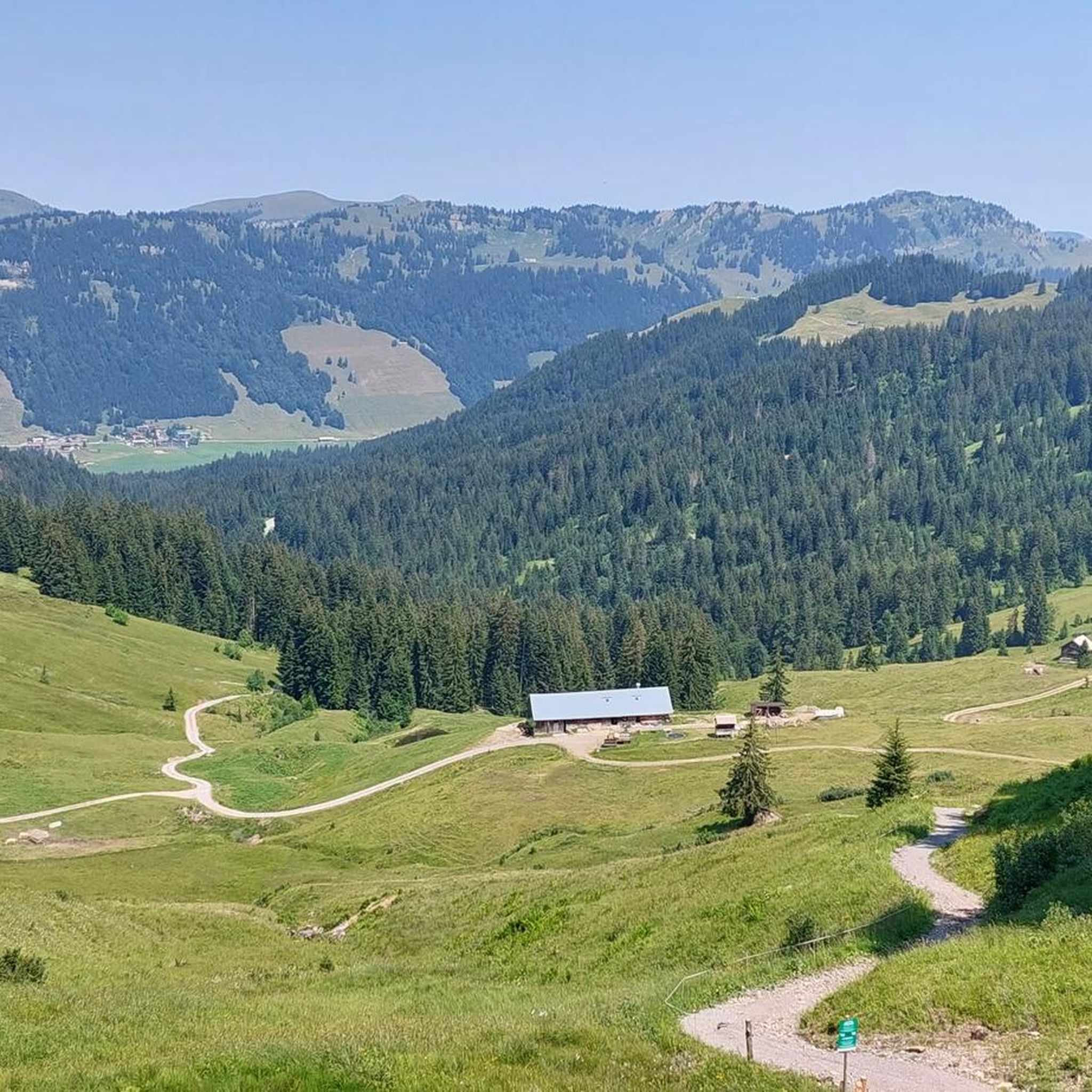
Hiking in Wildschutzgebiet Rotwildfütterung Fugen
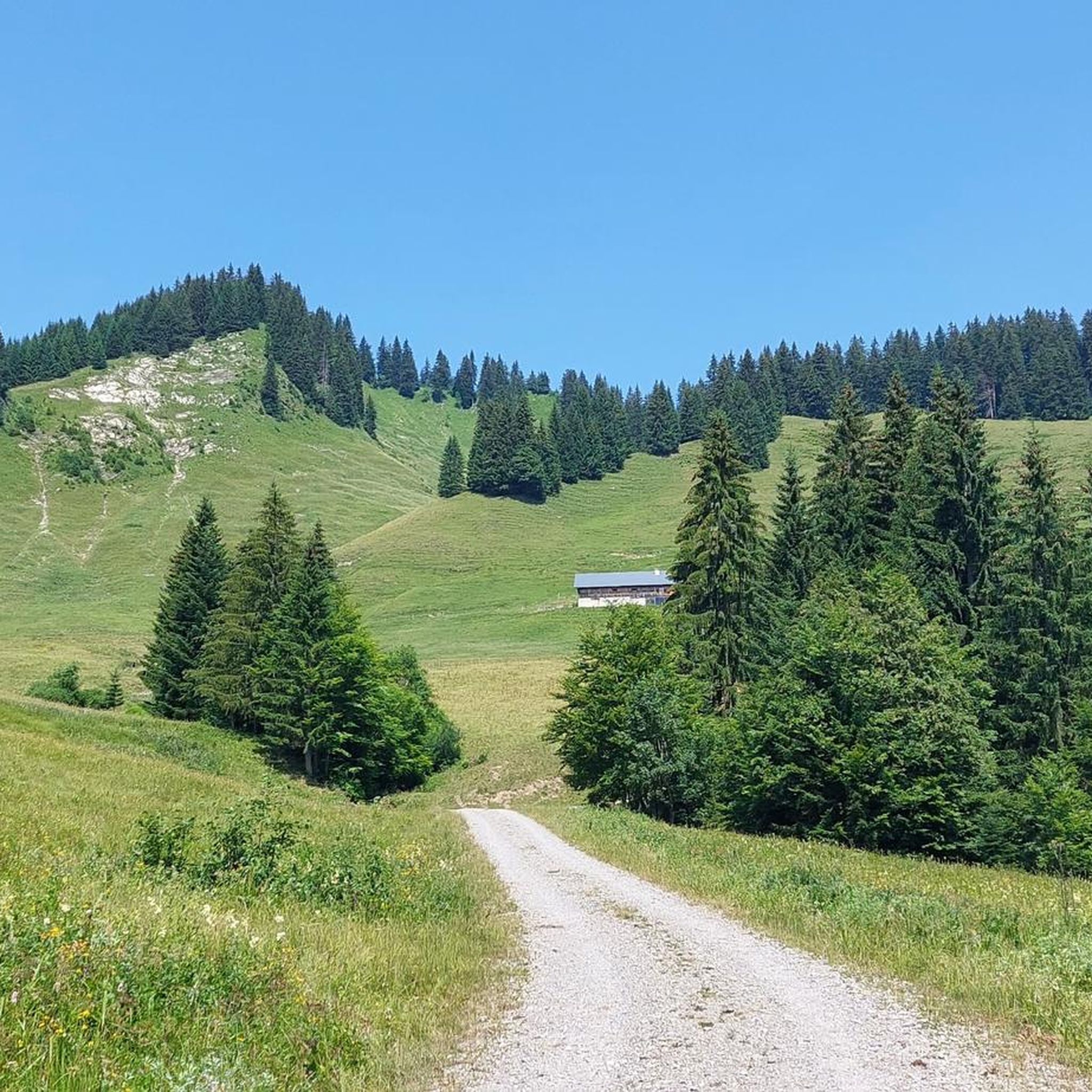
Cycling in Wildschutzgebiet Rotwildfütterung Fugen
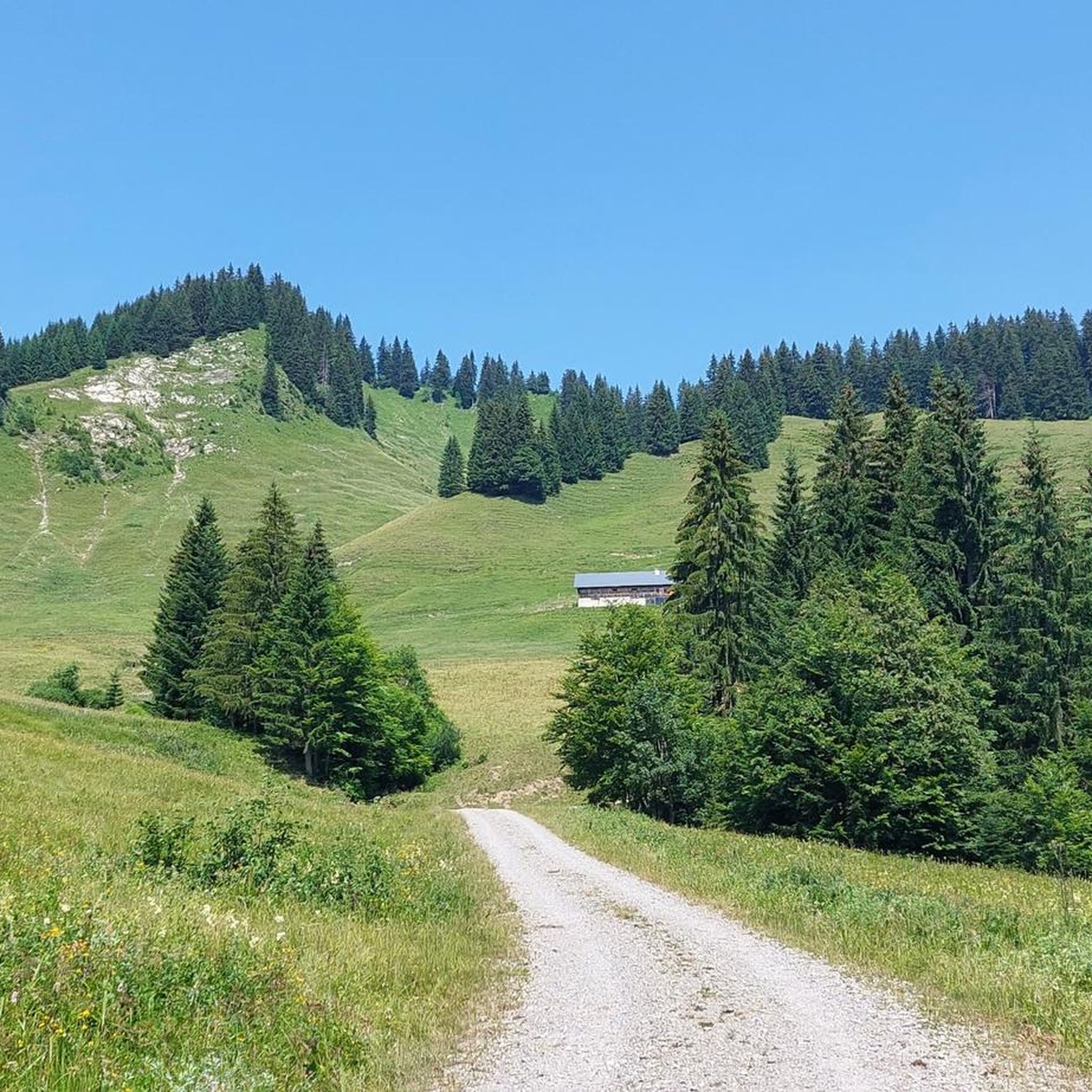
MTB Trails in Wildschutzgebiet Rotwildfütterung Fugen
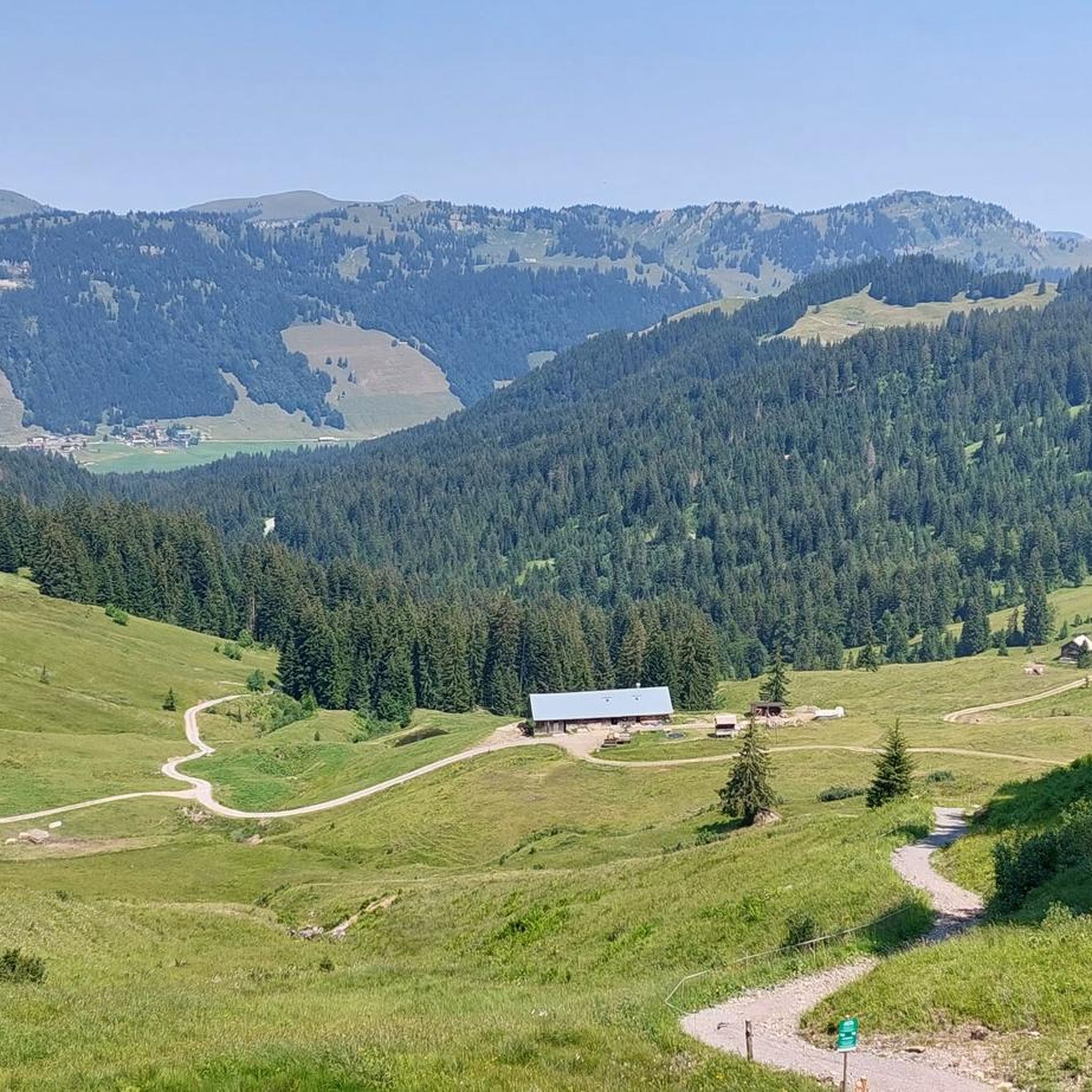
Running Trails in Wildschutzgebiet Rotwildfütterung Fugen
Road Cycling Routes in Wildschutzgebiet Rotwildfütterung Fugen

Gravel biking in Wildschutzgebiet Rotwildfütterung Fugen
Tips from the Community

The parish church of St. Anton in Balderschwang, located at 1,044 meters, is one of the highest parish churches in Germany. It is known to many people through Radio Horeb, which broadcasts from here.
8
0

Great elevation gain and a fantastic view. Some very steep descents.
0
0

Germany's oldest yew tree stands at an elevation of approximately 1,150 meters northeast of the center of Balderschwang. It is a female double-breasted yew tree that has found its perfect habitat in the heart of the Nagelfluhkette Nature Park. This yew is estimated to be between 2,000 and 4,000 years old.
0
0

probably the oldest tree in Germany
0
0

Great place for a snowshoe hike 🥰. Really a beautiful view and a quiet place in winter too. 😉
2
0
Great place for a snowshoe hike 🥰. Really a beautiful view and a quiet place in winter too. 😉
2
0

The oldest yew tree in Germany. It is a female double yew tree that has found its perfect habitat in the middle of the Nagelfluhkette Nature Park. This yew tree is estimated to be between 2000 and 4000 years old.
0
0
One of the most famous huts in this area. A great destination all year round 🥰
1
0
Frequently Asked Questions
How many mountaineering routes are available in Wildschutzgebiet Rotwildfütterung Fugen?
The Wildschutzgebiet Rotwildfütterung Fugen area, nestled within the Zillertal Alps, offers a wide selection of mountaineering routes. You'll find over 90 routes, ranging from moderate to difficult, providing diverse options for your alpine adventures.
What kind of terrain can I expect on mountaineering routes in the Zillertal Alps?
Mountaineering in this region is characterized by high alpine terrain, including intensely glaciated areas above 2,500 meters. You'll encounter rugged high mountains, deep gorges, and vast grazing areas in the side valleys. The landscape is defined by its alpine character, with prominent glaciers and numerous peaks exceeding 3,000 meters.
Are there challenging mountaineering routes for experienced climbers?
Absolutely. For experienced mountaineers, the Zillertal Alps offer significant challenges. Peaks like the Hochfeiler (3,510 m) feature classic ice routes on its North Face, while the ascent of the Großer Löffler (3,379 m) is considered a major alpine undertaking. The Olperer (3,476 m) also presents demanding options. For a difficult day tour, consider the Siplinger Kopf – Girenkopf Summit Cross loop from Balderschwang, which covers 14.7 km with over 780 meters of elevation gain.
Are there any family-friendly mountaineering options in the area?
While many routes are challenging, the region does offer options for families. The Spieljochbahn cable car provides easy access to higher elevations, where you can find a nature playground, monster rollers, and a summit barefoot hiking trail. For those new to climbing, the Family and Adventure Via Ferrata near the Spieljoch mountain station offers routes with varying difficulty levels under professional supervision. Additionally, themed trails like 'Putzi and the magic nut' combine hiking with educational experiences.
Can I bring my dog on the mountaineering trails?
Many trails in the Zillertal Alps are dog-friendly, but it's always best to check specific route regulations or local signage. When bringing your dog, ensure they are well-behaved, kept on a leash where required, and that you carry enough water for both of you. Be mindful of grazing livestock in alpine meadows.
Are there circular mountaineering routes available?
Yes, the region offers several excellent circular mountaineering routes. For example, the Feuerstätterkopf Summit Cross – Feuerstätterkopf loop from Sibratsgfäll is a moderate 9.8 km circular trail. Another popular choice is the Renkknie Summit Cross – Bereuter Riesalpe loop from Sibratsgfäll, a 9.3 km route through alpine meadows. For a longer option, the Burglhütte – Feuerstätterkopf loop from Balderschwang is a 13.3 km moderate circular tour.
What are some notable peaks or viewpoints I can reach?
The Zillertal Alps are home to over 80 three-thousand-meter peaks, offering incredible viewpoints. The Hochfeiler (3,510 m), Großer Möseler (3,478 m), and Olperer (3,476 m) are among the most prominent. Even on moderate routes, you can reach summit crosses like on the Feuerstätterkopf Summit Cross loop, providing panoramic views of the surrounding alpine landscape.
What is the best time of year for mountaineering in this region?
The optimal time for mountaineering in the Zillertal Alps is typically from late spring to early autumn (June to September). During this period, snow has largely melted from lower and mid-altitudes, and weather conditions are generally more stable. For classic ice routes on higher peaks like the Hochfeiler, optimal conditions are often found in spring and early summer.
Are there any specific regulations or permits needed for mountaineering?
The Wildschutzgebiet Rotwildfütterung Fugen is part of the High Mountain Nature Park Zillertal Alps. While general hiking does not usually require permits, it's crucial to respect nature park regulations, which often include staying on marked trails, not disturbing wildlife, and proper waste disposal. For specific climbing routes or protected areas, always check local guidelines or consult with mountain guides.
What unique natural features or wildlife can I observe?
The region is rich in natural beauty and wildlife. The High Mountain Nature Park Zillertal Alps boasts exceptionally high biodiversity. You can observe red deer, especially at the Wildschutzgebiet Rotwildfütterung itself, which is a feeding ground. The landscape features impressive glaciers like the Gefrorene-Wand-Kees (Tuxer Ferner), deep gorges, and vast alpine grazing areas. Keep an eye out for various alpine flora and fauna.
What do other mountaineers appreciate most about the routes here?
The mountaineering routes in Wildschutzgebiet Rotwildfütterung Fugen are highly rated by the komoot community, with an average score of 4.8 stars from over 290 reviews. Mountaineers often praise the diverse terrain, from challenging high-altitude trails to scenic alpine meadows, and the breathtaking views of the Zillertal Alps. The well-maintained paths and the opportunity to experience true alpine wilderness are frequently highlighted.
Are there options for beginner mountaineers?
While the Zillertal Alps are known for their challenging peaks, there are options suitable for beginners or those looking for a less strenuous introduction to mountaineering. Many routes are categorized as 'moderate,' offering a good balance of challenge and accessibility. For example, the Feuerstätterkopf – Feuerstätterkopf Summit Cross loop from Sibratsgfäll is a moderate 9.7 km path with manageable elevation gain, providing a taste of the alpine environment without extreme difficulty.
Where can I find refreshments or accommodation near the trails?
The Zillertal region, with Fügen as a base, offers a robust infrastructure for visitors. You'll find numerous mountain huts (like the historic Berliner Hütte or the Olperer Hut) along longer routes, providing refreshments and overnight stays. In the valleys, towns like Fügen and Kaltenbach offer a wide range of cafes, restaurants, and accommodation options, from hotels to guesthouses, ensuring you have comfortable facilities before and after your mountaineering adventures.
Most popular routes in Wildschutzgebiet Rotwildfütterung Fugen

Get inspired with the komoot mobile app


Explore more
Browse the best Mountain Hikes & Routes in other regions.
