The best walks and hikes in Wildschutzgebiet Wiesach
4.5
(53470)
234,125
hikers
1,169
hikes
Hiking in Wildschutzgebiet Wiesach, located in the Upper Allgäu region, offers diverse trails within a designated wildlife sanctuary. The area is characterized by varied terrain, including picturesque waterfalls, expansive mountain views, and distinctive geological formations like the Nagelfluhgrat. This protected environment ensures a tranquil setting for outdoor activities, with trails catering to various fitness levels.
Best hiking trails in Wildschutzgebiet Wiesach
- The most popular hiking route is Old Beech Alpine Pasture – Sedererstuiben (1,737 m) loop from Wildschutzgebiet Wiesach,…
Last updated: October 17, 2026
4.5
(27)
144
hikers
11.2km
04:23
740m
740m
Moderate hike. Good fitness required. Mostly accessible paths. Sure-footedness required.
4.7
(260)
877
hikers
11.2km
03:54
450m
450m
Moderate hike. Good fitness required. Mostly accessible paths. Sure-footedness required.

4.7
(311)
1,176
hikers
3.67km
01:06
70m
70m
Moderate hike. Great for any fitness level. Mostly accessible paths. Sure-footedness required.
4.8
(92)
459
hikers
Hard hike. Good fitness required. Sure-footedness, sturdy shoes and alpine experience required.
4.7
(70)
335
hikers
11.5km
04:32
790m
790m
Hard hike. Good fitness required. Sure-footedness, sturdy shoes and alpine experience required.
Get access to more routes and recommendations from other explorers.
Already have an account?
Our route recommendations are based on thousands of hikes, rides, and runs completed by other people on komoot.
Start today with a free account
Your next adventure awaits.


Tips from the Community


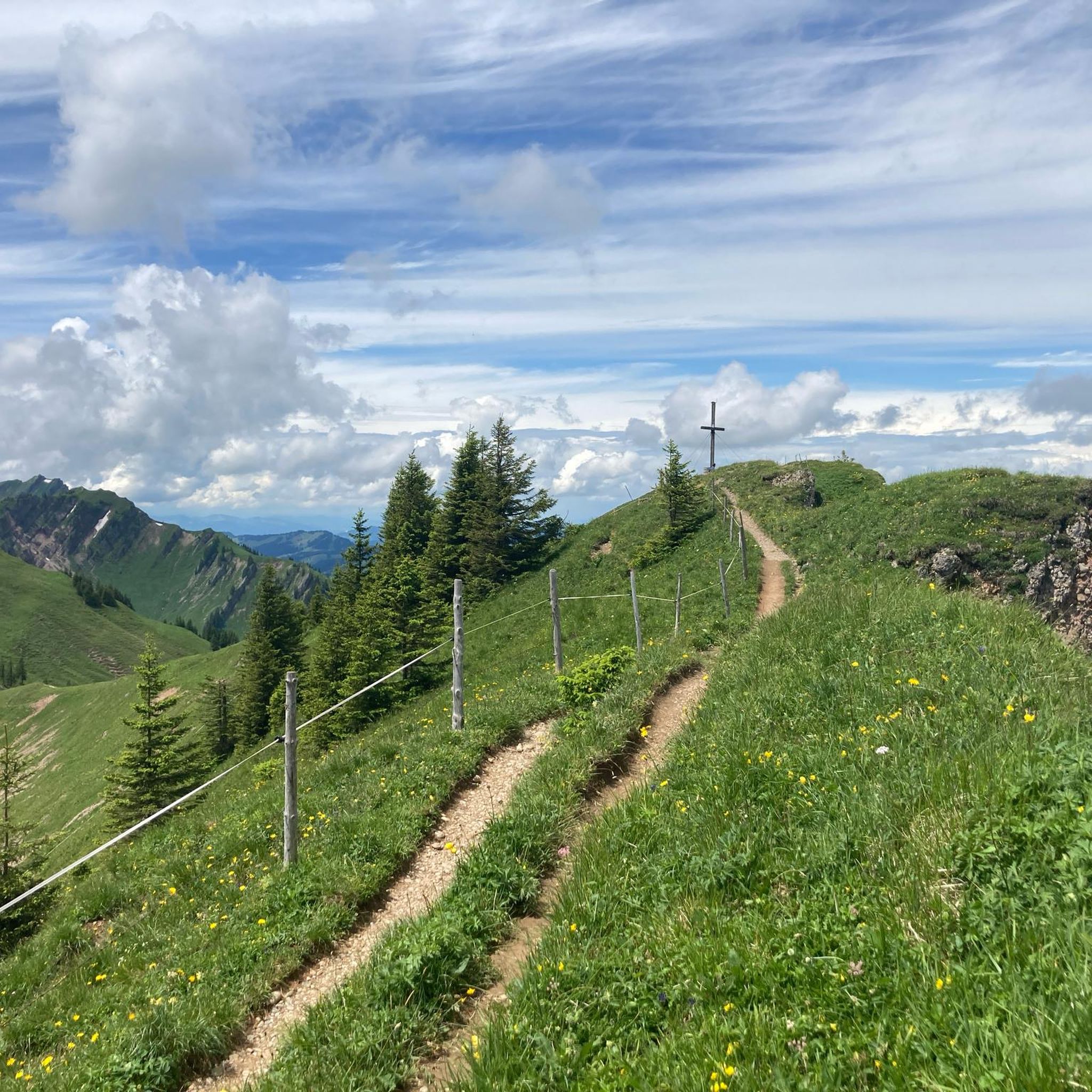
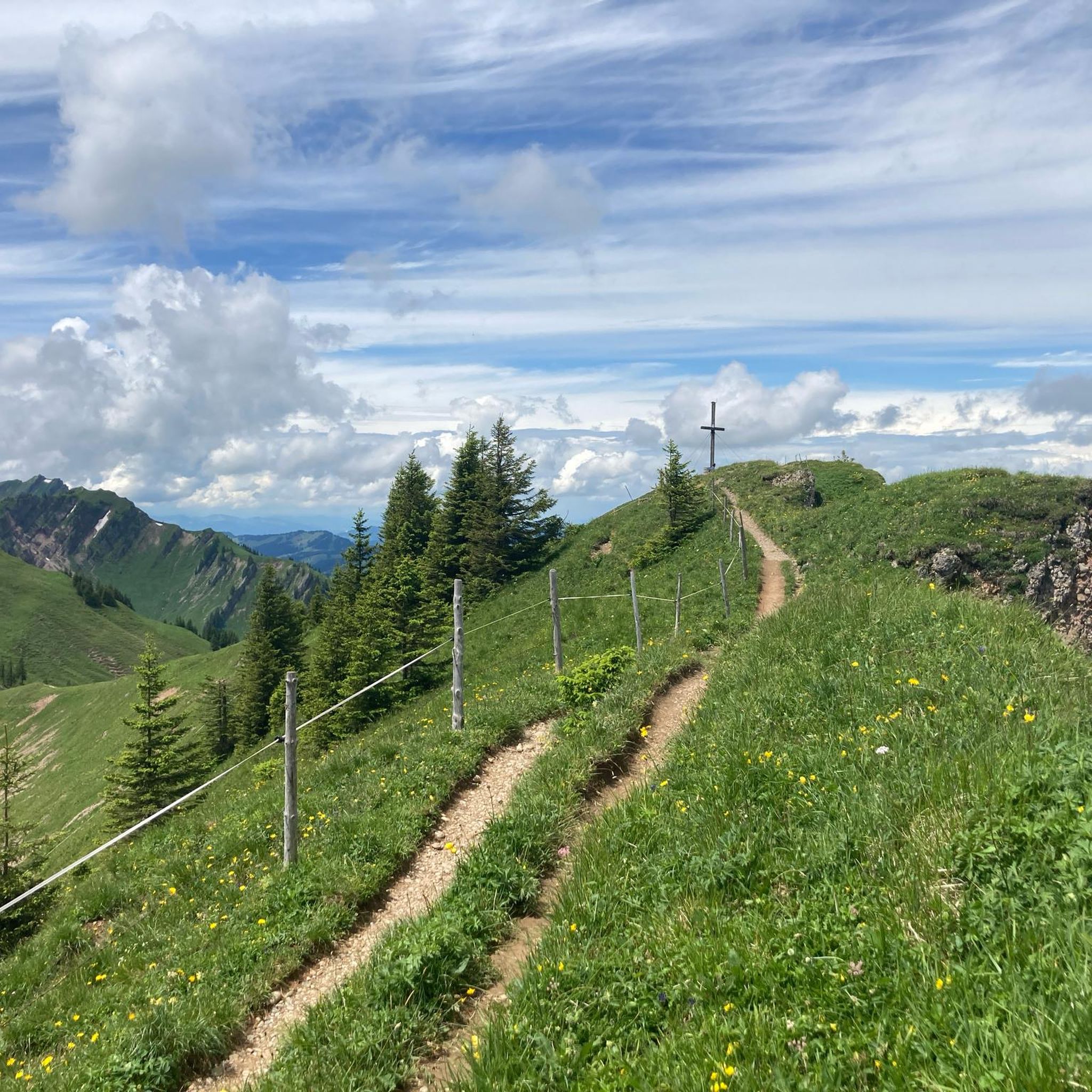
Equipped with rope belay. Not difficult to walk.
0
0
Summit unfortunately not accessible. You can take a break below the cross, but cannot ascend to the cross.
0
0

It's great in the fall when the leaves change color. It's ideal hiking weather.
3
0
After the final short climb, you can now enjoy the view from the summit cross. Three benches and tables invite you to enjoy a snack on the mountain. If the weather is nice, you can also take a break directly on the meadow.
4
0
The Grünten stands there very prominently. Its weather station can be seen from afar.
4
0

The parking lot is huge, with portable toilets. You can pay in cash, with an EC card, or with the Parkster app.
0
0

Great panoramic views, right on the Nagelfluh ridge. Easier to reach from Stuiben than from the west.
0
0
Frequently Asked Questions
How many hiking trails are available in Wildschutzgebiet Wiesach?
Wildschutzgebiet Wiesach offers a vast network of over 1,160 hiking trails. This includes a wide range of options, from easy walks to more challenging routes, ensuring there's something for every hiker.
Are there hiking trails for all fitness levels?
Yes, the area caters to all fitness levels. You'll find approximately 460 easy walks, 552 moderate trails, and 148 more challenging routes. Easy paths are generally accessible and require no special skills, while moderate trails suit those with good basic fitness. Challenging routes may demand very good fitness and sure-footedness.
Can I find hikes with waterfalls in Wildschutzgebiet Wiesach?
Absolutely. The region is known for its picturesque waterfalls. A popular option is the Ostertobel Waterfalls Trail – Tobelweg Waterfall loop from Wildschutzgebiet Wiesach, a moderate 2.3-mile (3.7 km) trail that takes you through the scenic Ostertobel.
What kind of views can I expect while hiking here?
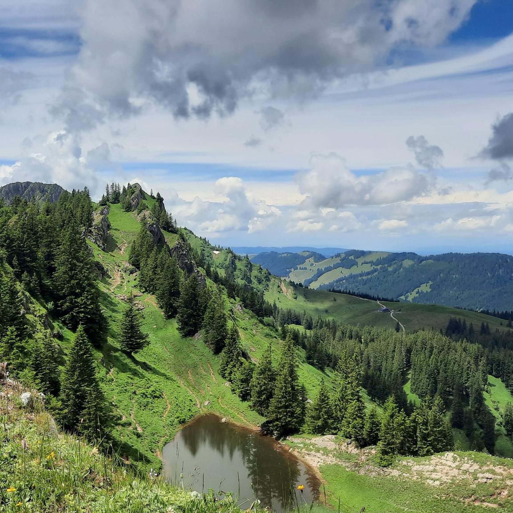
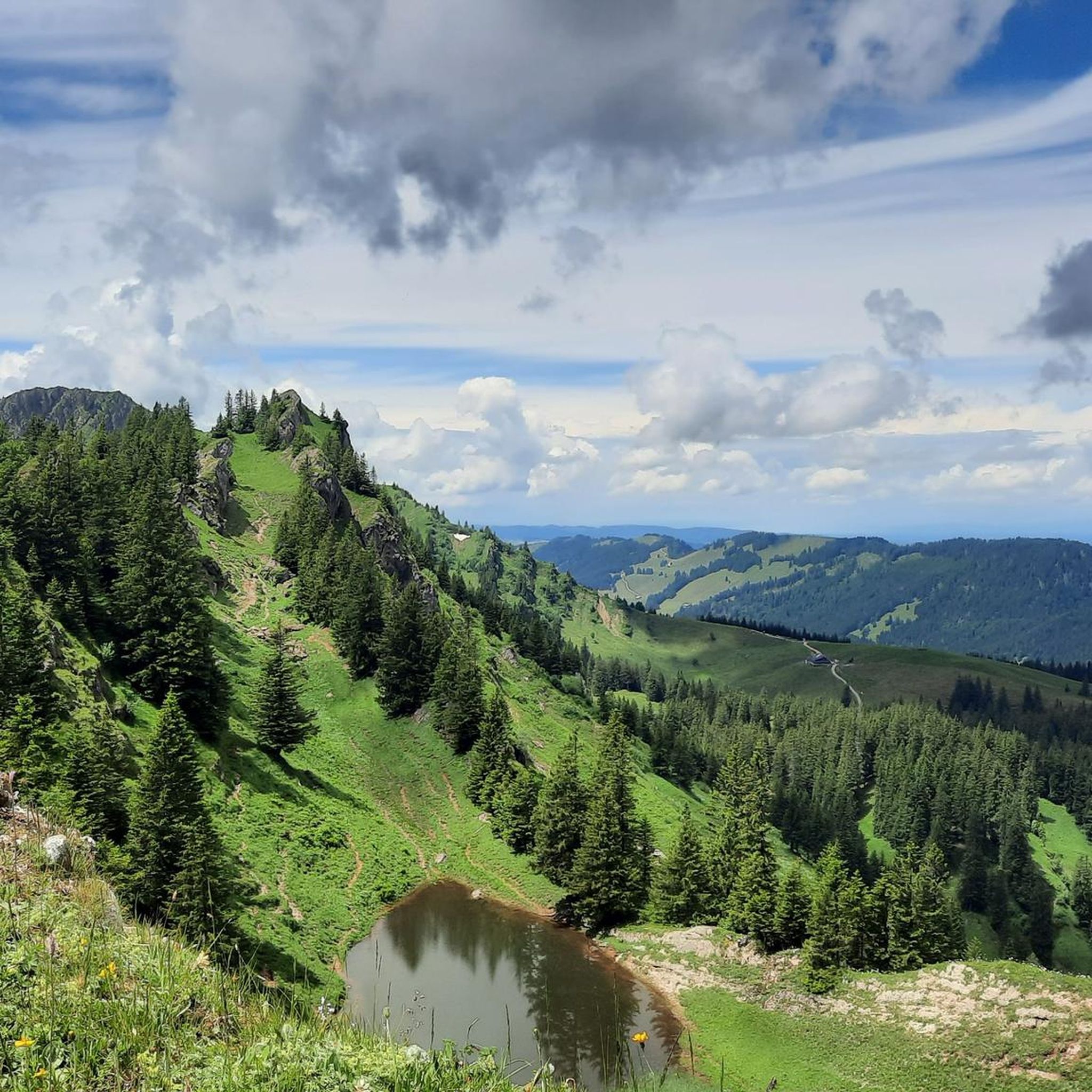
Hikers in Wildschutzgebiet Wiesach can enjoy expansive mountain views, including the prominent Grünten mountain with its visible weather station. You'll also find panoramic vistas from the Nagelfluhgrat, a distinctive geological formation, and views towards peaks like Sedererstuiben.
Are there many circular hiking routes in the area?
Yes, many of the trails in Wildschutzgebiet Wiesach are designed as circular routes, allowing you to start and end at the same point. For example, the Old Beech Alpine Pasture – Sedererstuiben (1,737 m) loop from Wildschutzgebiet Wiesach is a popular 7.0-mile (11.2 km) option offering great views.
When is the best time of year to go hiking in Wildschutzgebiet Wiesach?
While beautiful year-round, the autumn season is particularly recommended for hiking in Wildschutzgebiet Wiesach. The changing colors of the leaves create a stunning and vibrant backdrop for your outdoor adventures.
Is it possible to see wildlife in Wildschutzgebiet Wiesach?
As a designated wildlife sanctuary, Wildschutzgebiet Wiesach is primarily set up to protect red deer from disturbances. This focus on an undisturbed habitat means that while you might not always spot them, the area offers a chance to experience a tranquil natural environment where wildlife thrives.
Are there any interesting landmarks or natural features to explore?
Yes, the region boasts several notable natural features. You can explore the Stuiben Summit, enjoy views from the Mittaggrat Ridge in Naturpark Nagelfluhkette, or discover the Steinköpfle (1,670 m). The area also features distinctive geological formations like the Nagelfluhgrat.
What do other hikers enjoy the most about hiking in Wildschutzgebiet Wiesach?
The area is highly rated by the komoot community, with an average score of 4.6 stars from over 43,000 reviews. Hikers often praise the diverse terrain, the scenic waterfalls, and the panoramic mountain views, highlighting the tranquil and protected natural beauty of the sanctuary.
Are there any challenging routes for experienced hikers?
Yes, for experienced hikers seeking a challenge, there are routes exceeding 5 hours or 900 meters of elevation gain. These demand very good fitness, sure-footedness, sturdy footwear, and some alpine experience. An example is the Stuiben Summit loop from Wildschutzgebiet Wiesach, which involves significant elevation gain.
Can I find trails with views of Ofterschwanger Horn?
Certainly. The Tobelweg Waterfall – View from the Ofterschwanger Horn loop from Wildschutzgebiet Wiesach is a moderate 7.0-mile (11.2 km) path that offers both a waterfall and panoramic views from Ofterschwanger Horn, making it a local favorite.
Are there longer day hikes available?
Yes, for those looking for longer excursions, there are several options. The Ostertal Tobel Waterfall – Alpe Höllritzen loop from Wildschutzgebiet Wiesach is a good example, covering over 8 miles (13.5 km) and providing a substantial day out in nature.
Most popular routes in Wildschutzgebiet Wiesach
Most popular attractions in Wildschutzgebiet Wiesach

Get inspired with the komoot mobile app


Explore more
Browse the best Hikes in other regions.
