The best running trails in Gründlenried-Rötseemoos
4.4
(192)
3,019
runners
351
runs
Jogging routes Gründlenried-Rötseemoos traverse a unique moorland ecosystem, characterized by both raised bogs and fens, with peat layers up to 6 meters thick. The region features diverse terrain, including gentle hills, forests, and meadows, providing a varied backdrop for running. Small moor lakes and an underground drainage system add to the scenic beauty, while the area's status as a nature reserve ensures a tranquil environment with rich biodiversity.
Best jogging routes in Gründlenried-Rötseemoos
- The most popular jogging route is Running…
Last updated: June 24, 2026
5
runners
8.48km
00:53
60m
60m
Moderate run. Good fitness required. Mostly paved surfaces. Suitable for all skill levels.
5.0
(1)
18
runners
9.37km
00:59
80m
80m
Moderate run. Good fitness required. Mostly paved surfaces. Suitable for all skill levels.

Sign up for free
10
runners
6.60km
00:41
60m
60m
Moderate run. Good fitness required. Mostly paved surfaces. Suitable for all skill levels.
6
runners
11.6km
01:13
70m
70m
Moderate run. Good fitness required. Mostly paved surfaces. Suitable for all skill levels.
5.0
(3)
7
runners
11.1km
01:11
130m
130m
Moderate run. Good fitness required. Mostly paved surfaces. Suitable for all skill levels.
Get access to more routes and recommendations from other explorers.
Sign up for free
Already have an account?
Our route recommendations are based on thousands of hikes, rides, and runs completed by other people on komoot.
Start today with a free account
Your next adventure awaits.
Login or Signup

Tips from the Community

Unfortunately the chapel was closed.
0
0

On September 15, 1870, the Royal Württemberg State Railways opened the Waldsee–Kißlegg section of the Herbertingen–Isny railway line. Source: Wikipedia
3
0

The Zellersee, which was formed towards the end of the Würm Ice Age 16,000 years ago, is closely linked to the local history of Kißlegg. A monastery cell (“Zelle am See”) built on the shore of what was then the lake was first mentioned in documents in 824. “Radpodiszella” and “Kißleggzell” were the first place names of the settlement that developed from it. Today, the Zellersee is a popular fishing water and is used for angling. Other uses that are problematic for nature conservation due to its close location include bathing in the summer and ice skating in the winter. Due to the poor water quality, the Zellersee was included in the “Action program for the rehabilitation of Upper Swabian lakes” of the Tübingen regional council. Source: Wikipedia
1
0

Very worth seeing, you have to see it
0
1

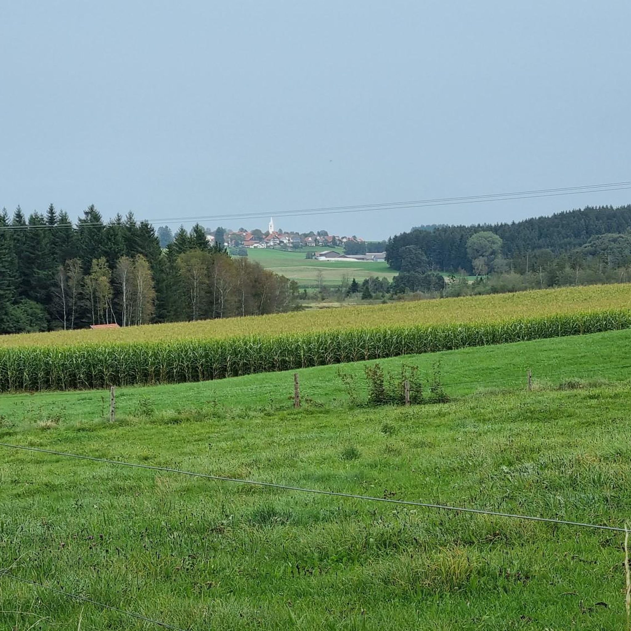
Typical Allgäu-Upper Swabia 👍🏻☀️🙏🏻
2
0

Exemplarily restored train station in Kißlegg, no longer owned by DB.
4
0

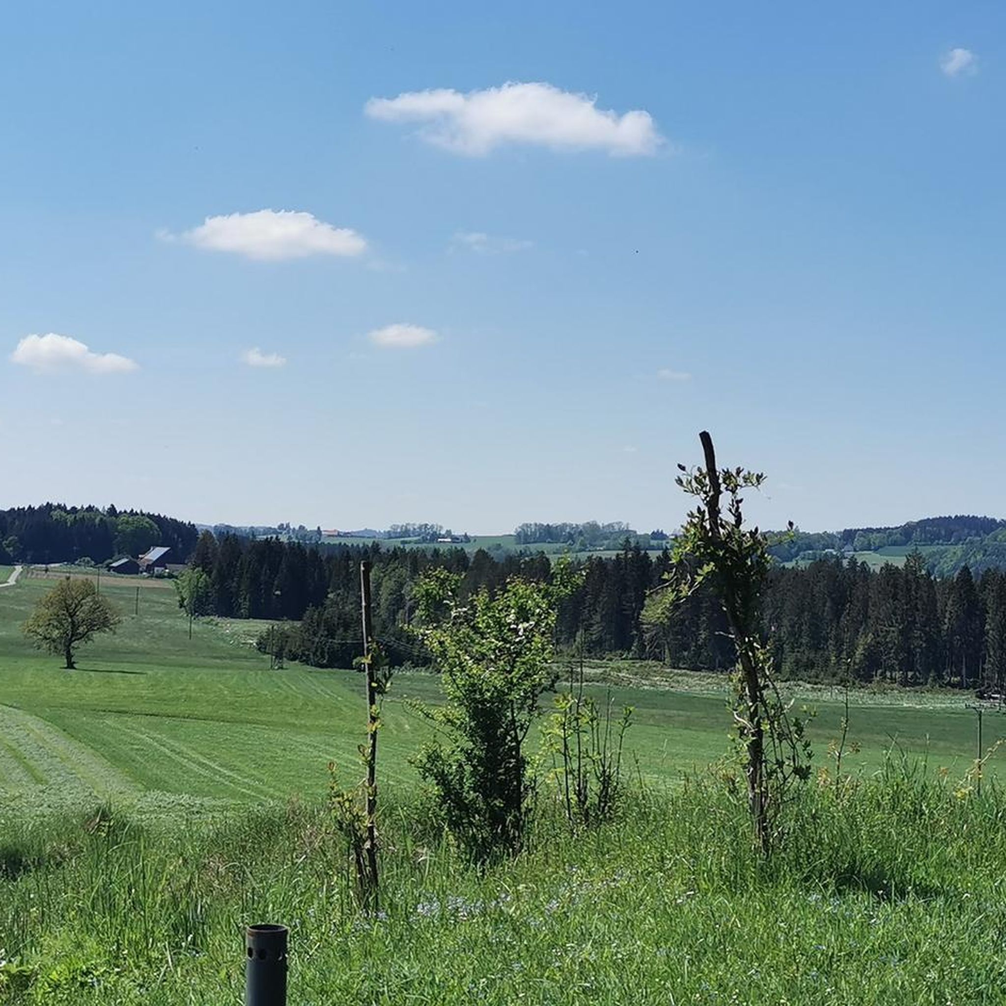
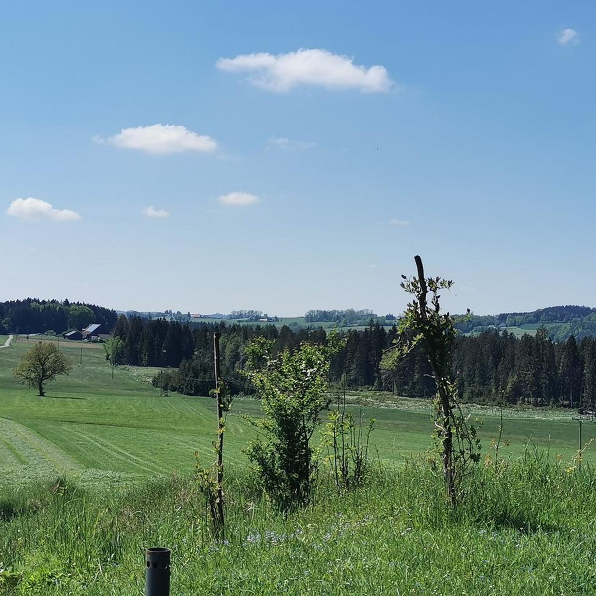
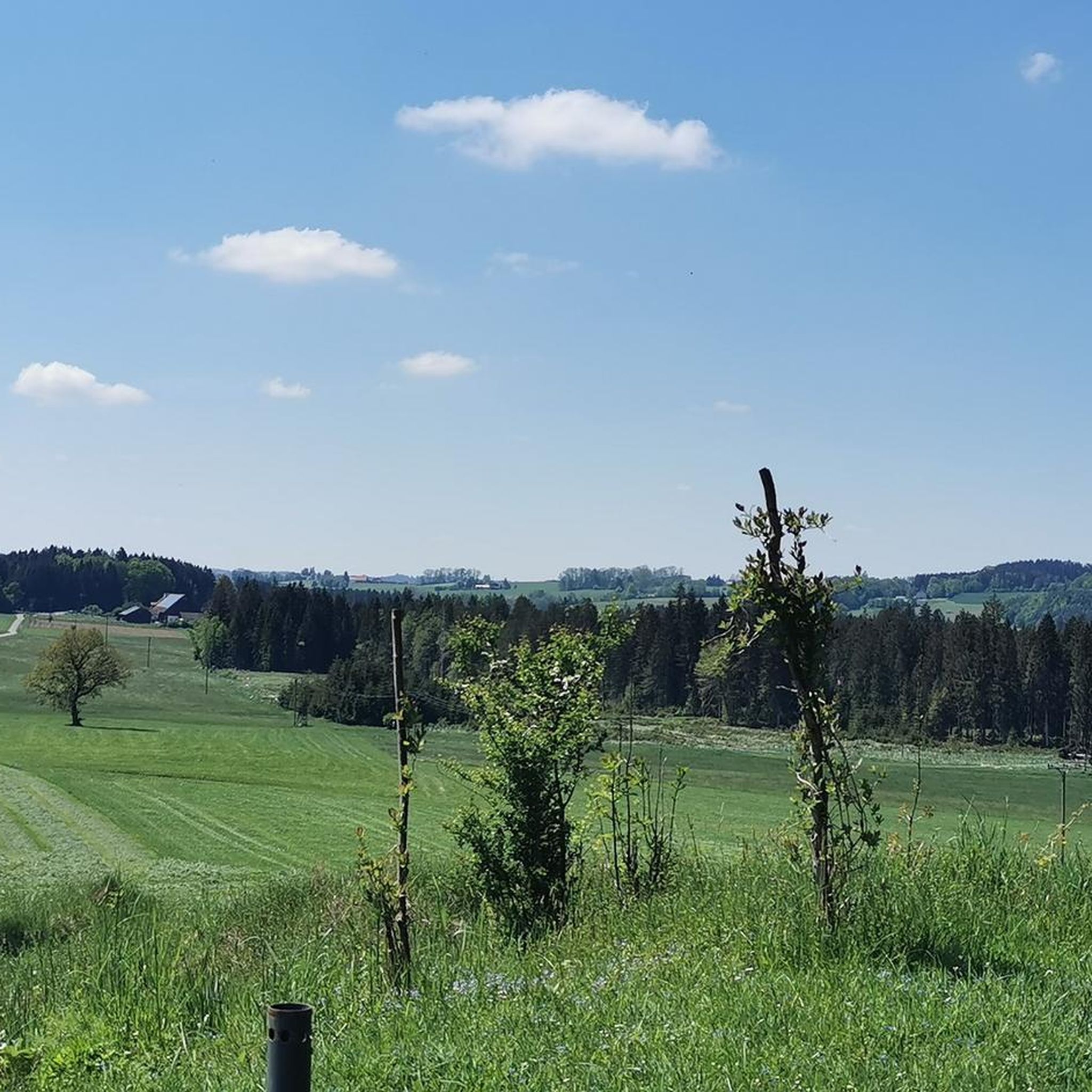
dreamy while the dandelions bloom
1
0

Frequently Asked Questions
How many running routes are available in Gründlenried-Rötseemoos?
Gründlenried-Rötseemoos offers a wide selection of running routes, with over 340 tours available. These range from easy paths to more challenging trails, ensuring options for all fitness levels.
What kind of terrain can I expect on the jogging trails in Gründlenried-Rötseemoos?
The region is characterized by a unique moorland ecosystem, featuring both raised bogs and fens. You'll encounter diverse terrain, including gentle hills, tranquil forests, and open meadows, providing a varied and picturesque backdrop for your run.
Are there running routes suitable for beginners in Gründlenried-Rötseemoos?
Yes, Gründlenried-Rötseemoos has several easy running routes perfect for beginners or those looking for a relaxed jog. There are 56 easy tours available, offering accessible paths through the beautiful natural landscape.
What do other runners say about their experience in Gründlenried-Rötseemoos?
The running routes in Gründlenried-Rötseemoos are highly rated by the komoot community, with an average score of 4.4 stars from over 150 reviews. Runners often praise the tranquil environment, diverse landscapes, and well-maintained trails that make for an enjoyable outdoor experience.
Are there any circular jogging routes in Gründlenried-Rötseemoos?
Yes, many of the running routes in Gründlenried-Rötseemoos are circular, allowing you to start and finish at the same point. An excellent option is the Kisslegg Castle Park – Kißlegg Train Station loop from Kißlegg, which is 7.2 miles (11.5 km) long and offers a moderate challenge.
Can I bring my dog on the running trails in Gründlenried-Rötseemoos?
Gründlenried-Rötseemoos is a nature reserve, and while many trails are generally dog-friendly, it's important to keep dogs on a leash to protect the sensitive moorland ecosystem and its diverse wildlife. Always check local signage for specific regulations on individual paths.
Are there family-friendly running options in Gründlenried-Rötseemoos?
Absolutely. The region offers many paths with gentle gradients and easy surfaces, making them suitable for families. Look for the 'easy' rated tours, such as the Running loop from Diepoldshofen, a 2.5-mile (4.1 km) route that is perfect for a shorter, relaxed run with children.
What natural features or landmarks can I see while jogging in the area?
While jogging, you can explore the unique moorland, small moor lakes known as 'Kolke,' and diverse forests. Keep an eye out for historical sites like the Burgstall in the Grindelmoos, a moraine ridge with historical significance. You might also spot the Maria Queen of Angels Pilgrimage Church (Rötsee), adding cultural interest to your run.
Is there parking available near the running routes in Gründlenried-Rötseemoos?
Yes, there are usually designated parking areas near the main access points to the nature reserve and its trailheads. Specific parking information can often be found on individual route descriptions on komoot or local signage.
What is the best time of year to go running in Gründlenried-Rötseemoos?
Gründlenried-Rötseemoos is beautiful year-round. Spring and autumn offer pleasant temperatures and vibrant colors, while summer provides longer daylight hours. Even in winter, the snow-covered moorland can be stunning, though some paths might be less accessible depending on conditions. Always check local weather before heading out.
Are there any viewpoints or scenic spots along the running trails?
The entire Gründlenried-Rötseemoos nature reserve offers scenic beauty, particularly its expansive moorland and tranquil water features. While there aren't specific 'viewpoints' in the traditional sense, the diverse landscape with its gentle hills, forests, and small moor lakes provides continuous picturesque scenery throughout your run. The moorland ecosystem itself is a unique sight.
How challenging are the running routes in Gründlenried-Rötseemoos?
The routes in Gründlenried-Rötseemoos vary in difficulty. While there are 56 easy routes, the majority (271) are rated as moderate, featuring gentle hills and varied terrain. There are also 13 difficult routes for experienced runners seeking a greater challenge. You can choose a route that matches your fitness level.
Most popular routes in Gründlenried-Rötseemoos
Most popular attractions in Gründlenried-Rötseemoos

Get inspired with the komoot mobile app


Explore more
Browse the best Running Trails & Routes in other regions.
