The best running trails in Pfrunger-Burgweiler Ried
4.6
(216)
2,238
runners
302
runs
Jogging in Pfrunger-Burgweiler Ried offers an opportunity to explore southwest Germany's second-largest contiguous moorland area. This region is characterized by expansive wetlands, woodlands, and meadows, including a significant protected forest. The terrain is generally flat, featuring open landscapes, marshy areas, and several lakes formed from past peat mining. Dedicated pathways provide varied surfaces for running, from well-maintained routes to natural trails.
Best jogging routes in Pfrunger-Burgweiler Ried
- The most popular jogging route is Goller Observation Tower loop from Pfrunger-Burgweiler Ried…
Last updated: June 29, 2026
4.9
(7)
59
runners
13.6km
01:31
40m
40m
Moderate run. Good fitness required. Mostly paved surfaces. Suitable for all skill levels.
4.9
(7)
55
runners
10.6km
01:11
20m
20m
Moderate run. Good fitness required. Mostly paved surfaces. Suitable for all skill levels.

Sign up for free
4.7
(3)
52
runners
Moderate run. Good fitness required. Mostly paved surfaces. Suitable for all skill levels.
5.0
(6)
32
runners
10.3km
01:05
30m
30m
Moderate run. Good fitness required. Mostly paved surfaces. Suitable for all skill levels.
5.0
(2)
26
runners
5.47km
00:37
20m
20m
Moderate run. Good fitness required. Mostly paved surfaces. Suitable for all skill levels.
Get access to more routes and recommendations from other explorers.
Sign up for free
Already have an account?
Our route recommendations are based on thousands of hikes, rides, and runs completed by other people on komoot.
Start today with a free account
Your next adventure awaits.
Login or Signup
Popular around Pfrunger-Burgweiler Ried
Nature, city, Baroque – short breaks in Upper Swabia-Allgäu
Aktiv in die längeren Tage – Frühlingswandern im Allgäu und Oberschwaben
Erlebniswege für die ganze Familie – Wandern mit Kindern
Stille Pfade, verborgene Schätze – Wandern im idyllischen Bodensee-Umland
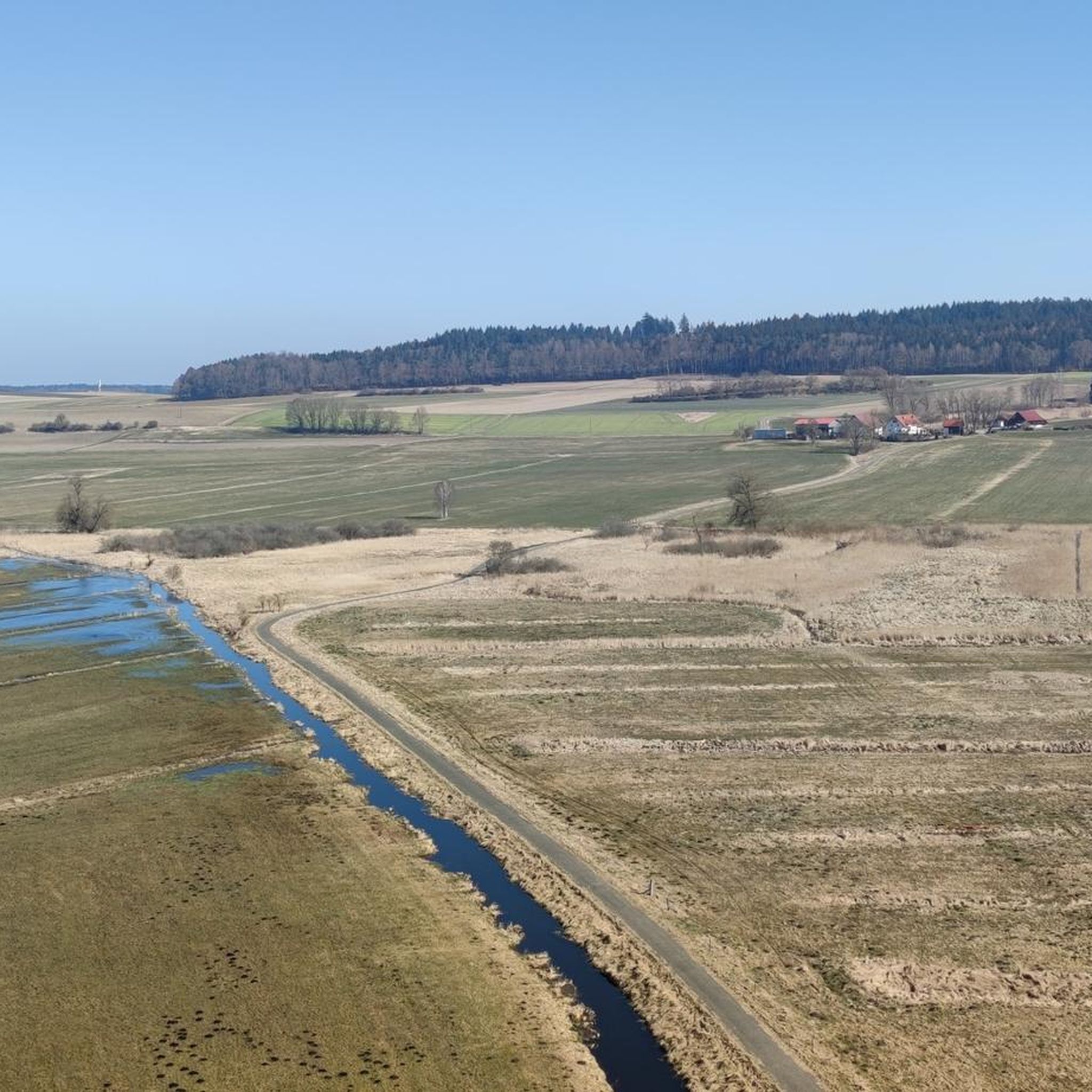
Hiking in Pfrunger-Burgweiler Ried
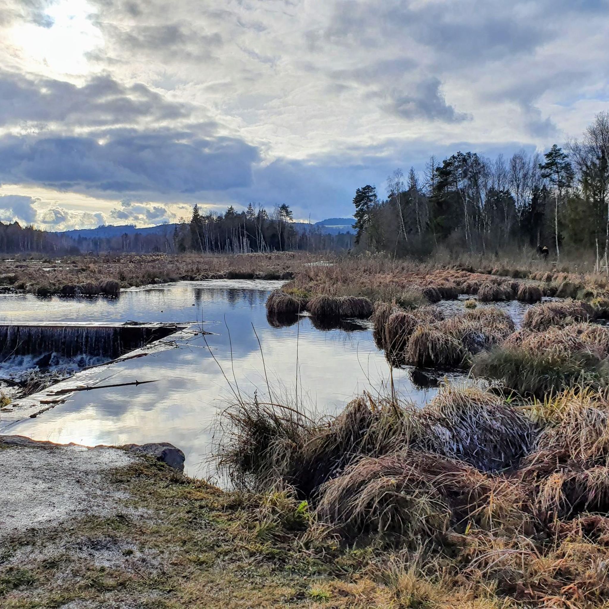
Cycling in Pfrunger-Burgweiler Ried
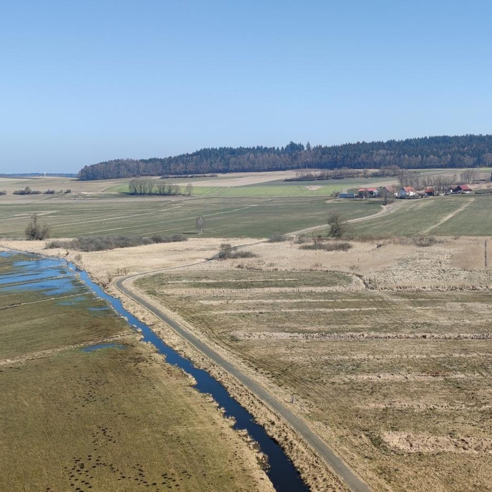
Road Cycling Routes in Pfrunger-Burgweiler Ried
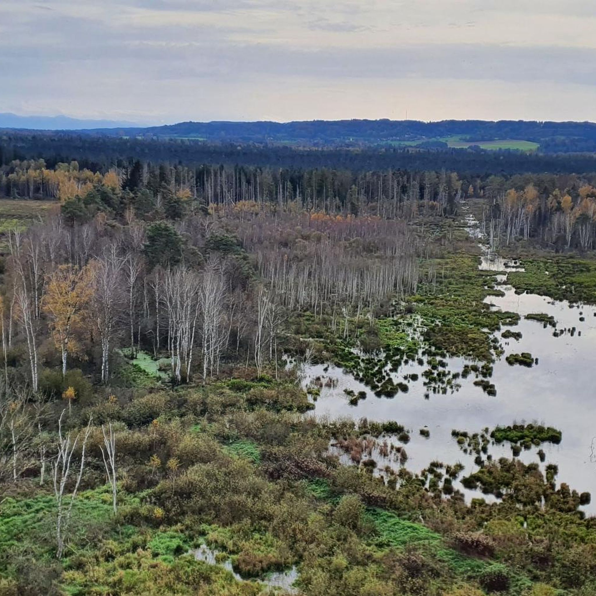
MTB Trails in Pfrunger-Burgweiler Ried
Gravel biking in Pfrunger-Burgweiler Ried
Other adventures in Pfrunger-Burgweiler Ried


Tips from the Community

And no annoying mosquitoes up there.
0
0

Free parking. If you come in time, you can even get a shady spot under one of the trees.
0
0

Great view
0
0

Information board - Protected forest 🌳🌲🌳 - Pfrunger Ried - Largest protected forest in Baden-Württemberg - 441 hectares of undisturbed forest conservation area
2
0
Beautiful wooden bridge over the Tiefenbach stream 🌊 - Pfrunger-Burgweiler Ried / Pfrunger Ried - Ostrach - Sigmaringen district
2
0
Scottish Highland Cattle 🐮🐮🐮 - Pfrunger-Burgweiler Ried / Pfrunger Ried - Ostrach - Sigmaringen District
2
0
Nice rest area with table and bench - Pfrunger-Burgweiler Ried / Pfrunger Ried - Average elevation 610 m above sea level - Riedhausen - Ravensburg district
3
0

From the almost 39 meter high Bannwaldturm you have a sensational panorama over the large moorland area of the Pfrunger-Burgweiler Ried nature reserve. Highly recommended, don't be put off by the 219 steps.
4
1
Frequently Asked Questions
What kind of terrain can I expect on the running paths in Pfrunger-Burgweiler Ried?
The running paths in Pfrunger-Burgweiler Ried offer a diverse range of surfaces. You'll find well-maintained, accessible paths, as well as gravel paths, and more natural, uneven routes with roots and wood chips. This variety allows runners to choose routes based on their preferred intensity and surface type.
Are there running routes suitable for beginners or those looking for an easier run?
While the guide primarily features moderate and difficult routes, the generally flat terrain of Pfrunger-Burgweiler Ried means many moderate paths are accessible. The area also features 'Moor Adventure Trails' (Moor-Erlebnispfade) which are shorter, ranging from 1 km to 5 km, and often include information panels, making them suitable for a lighter run or walk.
What natural features or landmarks can I expect to see while running in the Ried?
While running, you can expect to see expansive moorland, wetlands, woodlands, and meadows. Notable natural features include several lakes and ponds, such as the Five-sided Pond and Vogelsee. You might also spot the largest protected forest (Bannwald) in Baden-Württemberg and various bird species, as the Ried is a significant breeding and resting area for birds.
Are there any viewpoints along the running trails in Pfrunger-Burgweiler Ried?
Yes, a prominent viewpoint is the Bannwald Tower, which offers a breathtaking 360-degree panoramic view over the entire reed landscape and, on clear days, even extends to the Alps. The Goller Observation Tower loop from Unterweiler also provides views of the expansive moorland and includes the Goller Observation Tower.
Can I bring my dog on the running trails in Pfrunger-Burgweiler Ried?
Pfrunger-Burgweiler Ried is generally dog-friendly, but due to its sensitive natural environment, it's crucial to keep dogs on a leash and stay on designated paths. This helps protect the diverse wildlife and delicate moorland ecosystem.
Are there circular running routes available in Pfrunger-Burgweiler Ried?
Yes, many of the running routes in Pfrunger-Burgweiler Ried are designed as loops, offering convenient circular options. For example, the Inn at the Ried – View of Nillsee loop from Wilhelmsdorf and the Inn at the Ried loop from Pfrunger-Burgweiler Ried are popular circular trails.
What do other runners enjoy most about jogging in Pfrunger-Burgweiler Ried?
The running routes in Pfrunger-Burgweiler Ried are highly rated by the komoot community, with an average score of 4.6 stars from over 120 reviews. Runners often praise the tranquil environment, the unique moorland landscape, and the well-marked paths that offer a diverse and engaging experience.
Are there any facilities or points of interest near the running routes?
Yes, the Nature Conservation Center Wilhelmsdorf serves as a central starting point for many trails. It features exhibitions on the moor's history and environment. You might also encounter the Scottish Highland Cattle Pasture, adding to the unique sights.
Is Pfrunger-Burgweiler Ried suitable for family running outings?
Yes, Pfrunger-Burgweiler Ried can be suitable for family running outings, especially on the well-maintained paths and shorter 'Moor Adventure Trails'. These trails often include information panels, making them educational and engaging for children. Always ensure to stay on designated paths to protect the sensitive nature.
How many running routes are available in Pfrunger-Burgweiler Ried?
There are over 10 dedicated running routes in Pfrunger-Burgweiler Ried, offering a variety of distances and experiences. These routes are highly rated by the komoot community, with more than 1,400 runners having explored the area using komoot.
What is the best season for running in Pfrunger-Burgweiler Ried?
Pfrunger-Burgweiler Ried is an ideal destination for running throughout the year. Each season offers a unique experience, from the vibrant greenery of spring and summer to the atmospheric beauty of autumn and winter. The well-developed network of paths ensures accessibility in most conditions, though checking local weather is always advisable.
Are there any longer running trails for experienced runners?
Yes, for experienced runners looking for a longer challenge, routes like the Goller Observation Tower loop from Wilhelmsdorf cover a distance of over 16 km, offering a more extensive exploration of the Ried's diverse landscape.
Most popular routes in Pfrunger-Burgweiler Ried
Most popular attractions in Pfrunger-Burgweiler Ried

Get inspired with the komoot mobile app


Explore more
Browse the best Running Trails & Routes in other regions.
