The best walks and hikes in Wutachflühen
4.4
(10342)
34,634
hikers
569
hikes
Hiking in Wutachflühen offers trails through a deep gorge system carved by the Wutach River, characterized by dramatic landscapes and unique geological features. The region features wooded valley slopes, significant rock formations, and sections of primeval forest. The Wutachflühen themselves are a three-kilometer-long rock wall, with depths ranging from 60 to 170 meters. This active geological landscape provides varied terrain for hikers.
Best hiking trails in Wutachflühen
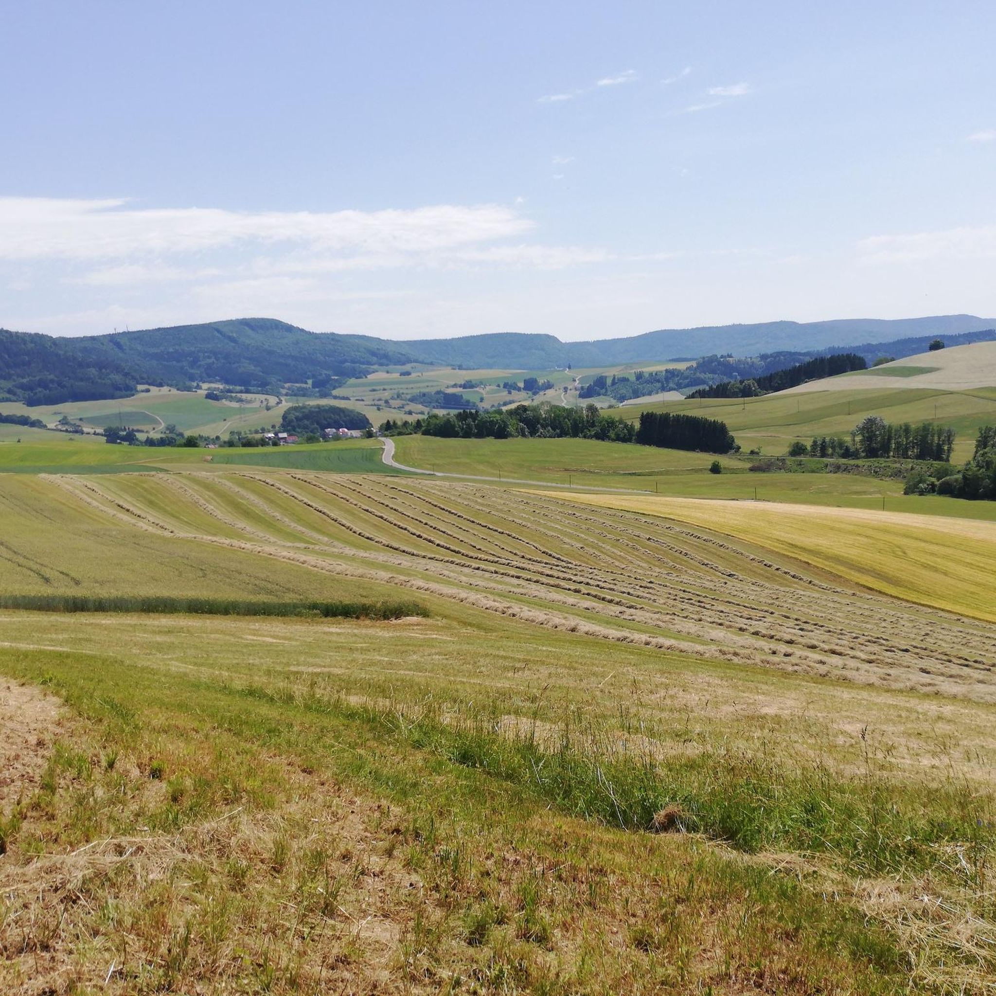
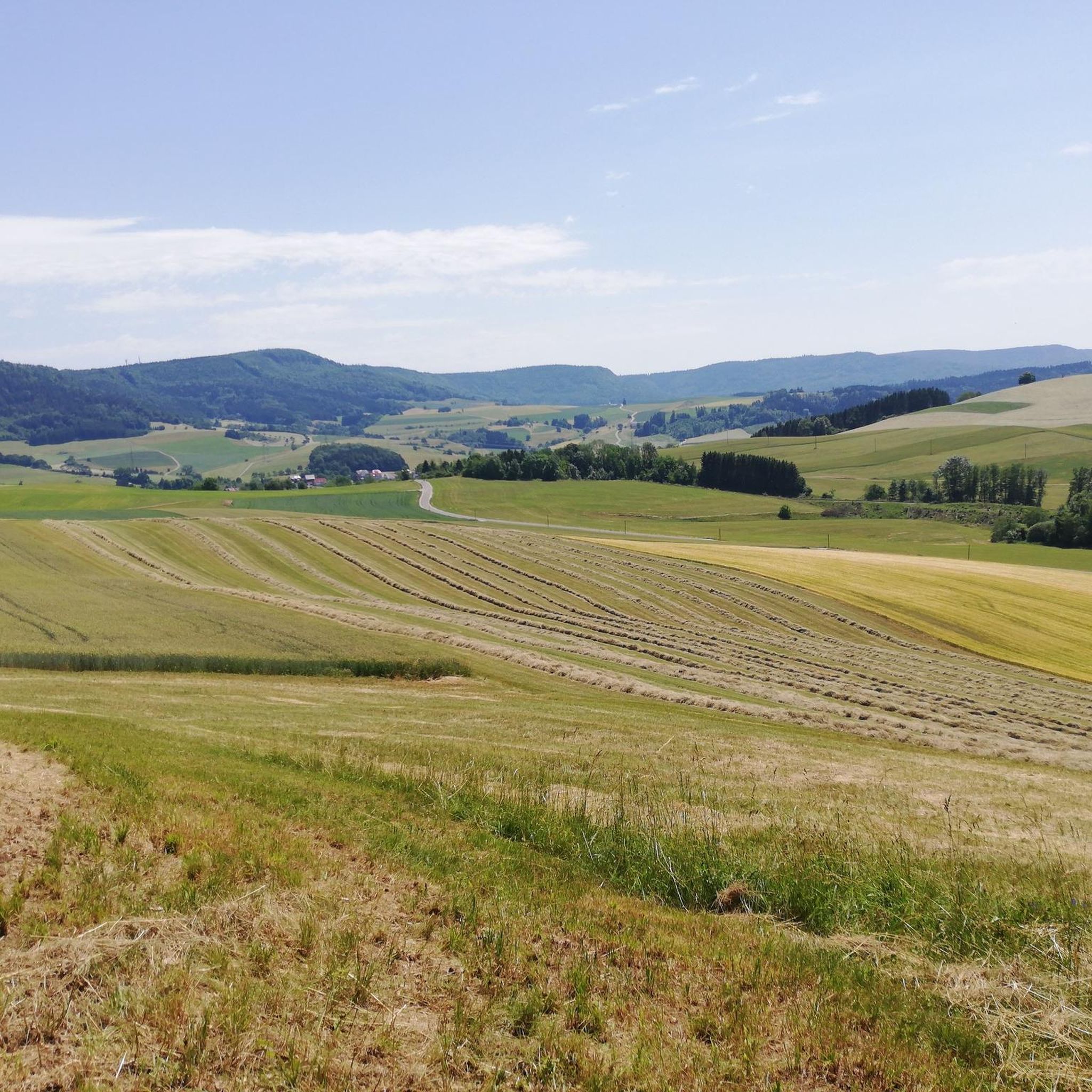
- The most popular hiking route is View of the Wheat Fields – St. Jakobus Chapel Achdorf loop from Achdorf, a 3.8 miles (6.1 km) moderate trail that takes 1 hour 51 minutes to complete, offering views of the surrounding agricultural landscape.
- Another top favourite among local hikers is Footbridge over the Wutach – Wutach Riverside Rest Area loop from Wutachflühen, a moderate 6.8 miles (10.9 km) path. This route follows the Wutach River, passing by a notable footbridge and riverside rest areas.
- Local hikers also love the St. Jakobus Chapel Achdorf – View of Achdorf loop from Achdorf, a 3.0 miles (4.9 km) trail leading through varied terrain with views of Achdorf, often completed in about 1 hour 31 minutes.
- Hiking in Wutachflühen is defined by deep gorges, dramatic rock walls, and wooded valley slopes. The network offers options for easy, moderate, and difficult routes, catering to different ability levels.
- The routes in Wutachflühen are highly rated by the komoot community with an average score of 4.4 stars from over 9,000 reviews. More than 33,000 hikers have used komoot to explore Wutachflühen's varied terrain.
Last updated: July 1, 2026
4.5
(26)
86
hikers
Moderate hike. Great for any fitness level. Mostly accessible paths. Sure-footedness required.
4.8
(28)
101
hikers
Moderate hike. Good fitness required. Mostly accessible paths. Sure-footedness required.

Sign up for free
4.6
(7)
21
hikers
4.91km
01:33
180m
180m
Moderate hike. Great for any fitness level. Mostly accessible paths. Sure-footedness required.
4.2
(6)
22
hikers
5.02km
01:24
100m
100m
Easy hike. Great for any fitness level. Easily-accessible paths. Suitable for all skill levels.
3.8
(4)
9
hikers
7.75km
02:12
170m
170m
Moderate hike. Good fitness required. Easily-accessible paths. Suitable for all skill levels.
Get access to more routes and recommendations from other explorers.
Sign up for free
Already have an account?
Our route recommendations are based on thousands of hikes, rides, and runs completed by other people on komoot.
Start today with a free account
Your next adventure awaits.
Login or Signup

Tips from the Community

The ladder is easy to climb, descent backwards is also possible, then you can hold onto the rungs well.
0
0

small chapels are always worth seeing
0
0
A fantastic trail with beautiful plants. The lower third is particularly challenging.
0
0
Very nice view after the strenuous descent
0
0
The stairs are the easiest on the entire path. And there's a smaller one at the other end.
0
0
Challenging path. Better take the warning seriously.
0
0

Beautiful to look at and hear… a dream of a hiking trail
8
0
Riveted steel bridge with grating deck, built in 1931… for those who don’t like looking down
8
0
Frequently Asked Questions
What kind of terrain can I expect when hiking in Wutachflühen?
Wutachflühen is characterized by a deep, gorge-like incision with wooded valley slopes and numerous rock formations. You'll encounter narrow, sometimes exposed paths, especially along the three-kilometer-long rock wall. The terrain can be rocky and slippery in places, so good footwear is essential. The landscape is geologically active, showcasing impressive stratigraphy and features like karst and sinkholes.
Are there any waterfalls or significant water features in Wutachflühen?
Yes, the Wutach Gorge system, which includes Wutachflühen, is known for its romantic canyons and original forests with countless small waterfalls and gurgling streams. Notable waterfalls include Sturzdobel Falls and Sackpfeiferdobel Waterfall, offering enchanting natural spectacles along the trails.
What is the best time of year to go hiking in Wutachflühen?
The hiking season in Wutachflühen typically extends from the blossoming of spring snowflakes through the vibrant autumn colors of the ravine forest. Winter hiking is generally avoided due to safety reasons, as some passages can become particularly challenging. Spring and autumn offer the most picturesque conditions.
Are there any family-friendly hiking options in Wutachflühen?
While some sections of the Wutach Gorge can be challenging, there are easier routes available. For example, the Bench by the Wutach – Bridge over the Wutach River loop from Achdorf is an easy 5 km (3.1 miles) trail, suitable for families looking for a less strenuous walk. Always check the specific trail details for suitability with very young children.
Can I bring my dog on the hiking trails in Wutachflühen?
The Wutachflühen region is generally dog-friendly, but specific rules may apply in certain nature reserve sections. Given the narrow and sometimes exposed paths, especially in the Wutachflühen section, it's advisable to keep dogs on a leash for their safety and to protect the local wildlife. Always be prepared to clean up after your pet.
What kind of wildlife and geological features can I observe in Wutachflühen?
Wutachflühen is an 'eldorado' for botanists, hosting 1,200 of Central Europe's plant species. It's also a haven for wildlife, with over 500 species of butterflies and hundreds of bird species. Geologically, the area is fascinating, showcasing an impressive stratigraphy from the Triassic to the Jurassic periods, with active river erosion constantly changing the landscape, creating features like karst and sinkholes.
Are there any circular or loop trails available in Wutachflühen?
Yes, many trails in Wutachflühen are designed as loops, allowing you to start and end at the same point. An example is the Wutachflühen Viewpoint – Wutachflühen Gorge loop from Wutachflühen, a moderate 12.2 km (7.6 miles) route that offers varied scenery within the gorge system.
What are some notable landmarks or viewpoints along the trails?
Hikers can discover several interesting landmarks and viewpoints. The dramatic Wutachflühen Gorge itself is a major highlight. You can also find the ruins of Blumegg Castle on a rock plateau opposite the Wutachflühen, and the viaduct of the historic Wutach Valley Railway (Sauschwänzlebahn Bridge over the Wutach River) marks the lower end of the gorges. The Footbridge over the Wutach is another notable point of interest.
How many hiking trails are there in Wutachflühen, and what are their difficulty levels?
There are over 570 hiking routes in Wutachflühen. The network offers a good variety: approximately 230 routes are considered easy, around 320 are moderate, and about 30 are difficult, catering to different ability levels and preferences.
What do other hikers enjoy most about hiking in Wutachflühen?
The area is highly rated by the komoot community, with an average score of 4.4 stars from over 9,000 reviews. Reviewers often praise the dramatic landscapes, unique geological features, and the feeling of hiking through 'primeval forest sections' along the narrow, sometimes exposed paths of the gorge.
Are there options for public transport to access the hiking trails?
While specific public transport details for trailheads are not always readily available, the Wutach Gorge region is generally accessible. It's recommended to research local bus services or regional trains that connect to towns near the Wutachflühen, such as Achdorf, which serves as a starting point for several routes. Planning ahead is key for public transport access.
Are there any specific rules or permits required for hiking in Wutachflühen?
As Wutachflühen is a designated nature reserve within the larger Wutach Gorge system, certain rules apply to protect its unique environment. These typically include staying on marked paths, not disturbing wildlife, and refraining from littering. Generally, no specific hiking permits are required for day hikes, but always respect local signage and regulations.
What is the typical duration for a hike in Wutachflühen?
Hike durations vary significantly depending on the route and your pace. For instance, an easy route like the Bench by the Wutach – Bridge over the Wutach River loop from Achdorf takes about 1 hour 24 minutes. More extensive moderate trails, such as the Footbridge over the Wutach – Wutach Riverside Rest Area loop from Wutachflühen, can take around 3 hours 5 minutes. The entire Wutach Gorge can be hiked over two days.
Most popular routes in Wutachflühen
Most popular attractions in Wutachflühen

Get inspired with the komoot mobile app


Explore more
Browse the best Hikes in other regions.
