The best mountain hikes in Greuthau
5.0
(2)
11
hikers
3
hikes
Mountaineering in Greuthau, a nature reserve within Germany's Swabian Alb, offers routes through diverse landscapes. The region is characterized by significant beech forests and varied terrain, including features typical of the Swabian Alb such as karst rocks and rugged cliffs. These routes provide opportunities to explore the area's natural beauty and elevated viewpoints.
Best mountaineering routes in Greuthau
- The most popular mountaineering route is Lichtenstein Castle – View of Lichtenstein Castle loop from Lichtenstein, a 6.9 miles (11.2 km)…
Last updated: October 5, 2026
3
hikers
11.0km
03:33
420m
420m
Moderate mountaineering route. Good fitness required. Mostly accessible paths. Sure-footedness required.
2
hikers
9.29km
03:01
360m
350m
Moderate mountaineering route. Good fitness required. Mostly accessible paths. Sure-footedness required.

5.0
(2)
6
hikers
20.7km
06:35
730m
730m
Hard mountaineering route. Very good fitness required. Mostly accessible paths. Sure-footedness required.
Our route recommendations are based on thousands of hikes, rides, and runs completed by other people on komoot.
Start today with a free account
Your next adventure awaits.

Tips from the Community

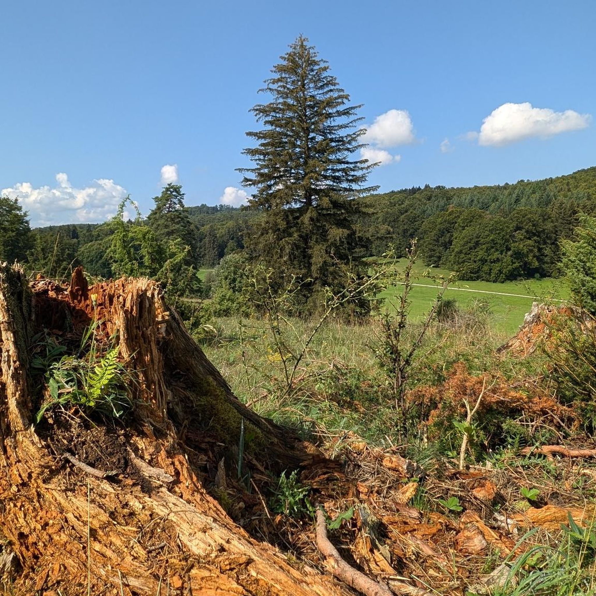
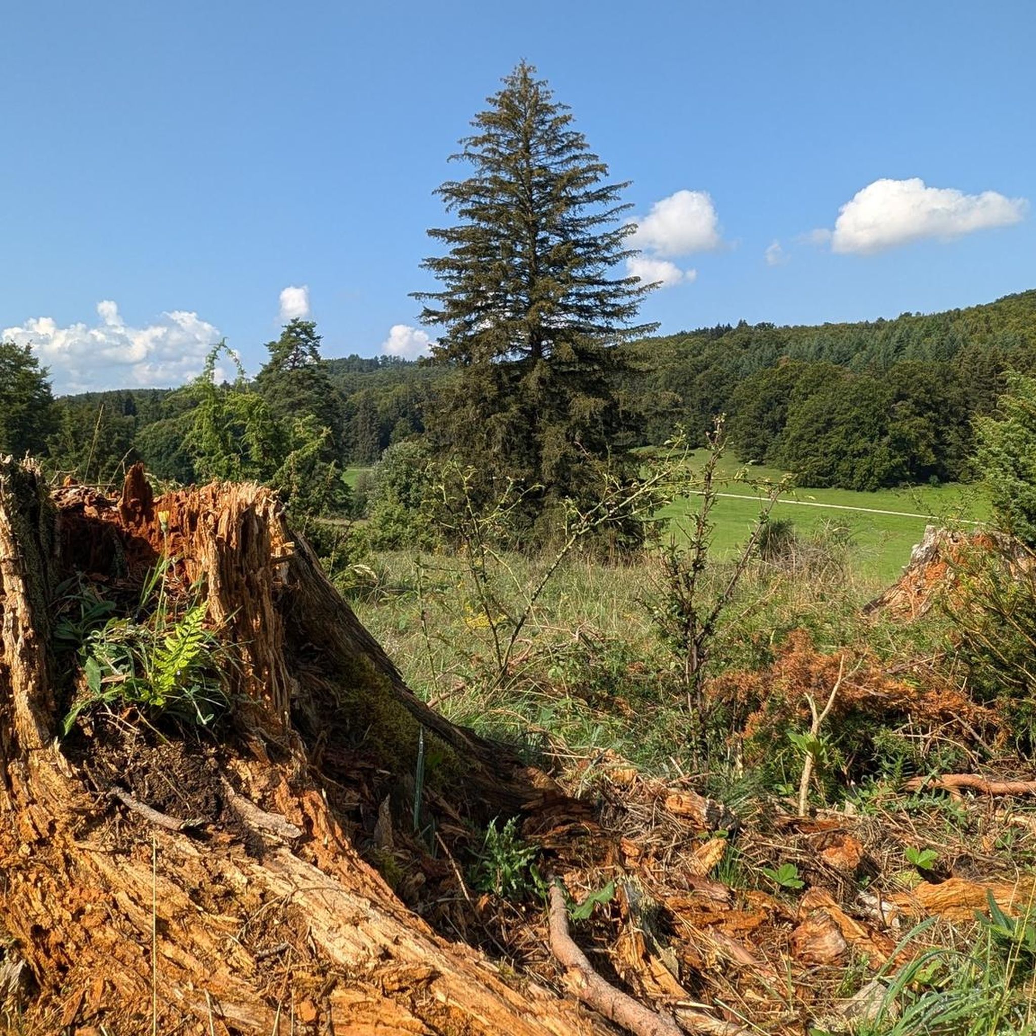
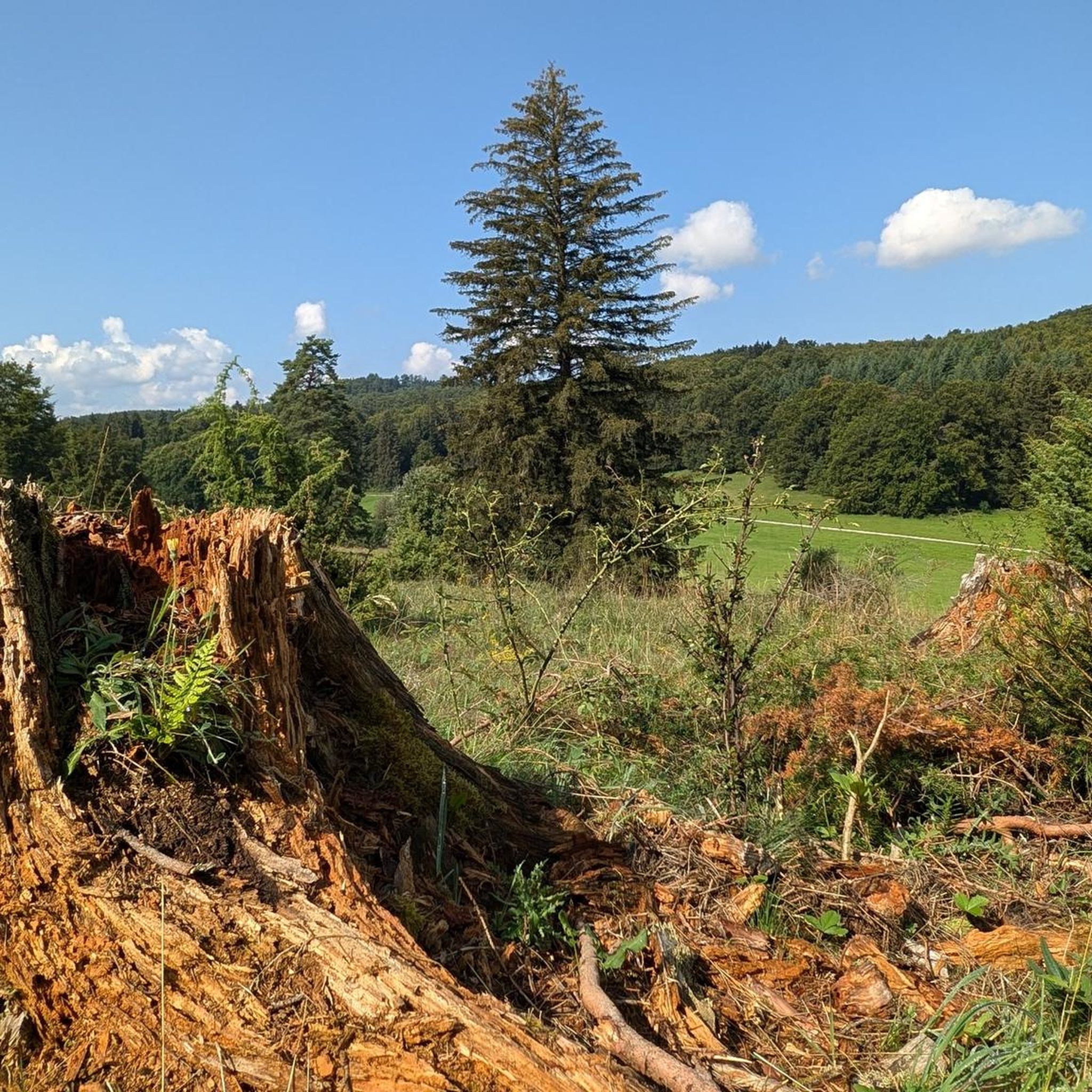
The Wonhalde Spielberg plateau (HW5) is a 118 ha nature reserve, created by centuries of grazing. Individual trees and juniper heaths are also typical here. To prevent overgrowth, the vegetation is kept short by a flock of sheep during the warm months. One kilometer later, you arrive at the Nebelhöhle.
0
0

You can eat delicious food in this restaurant! In summer you can sit outside on the terrace.
5
0

You can eat great here
5
0

From the Lochenstein with its two benches and the wild barbecue area, Honau is right at your feet
10
0
You have a great view from the Wilhelm Hauff viewing plateau.
16
0

Entrance on the right, exit on the left. Don't forget to pay the €1 fee. The view is worth it and the Swabian Alb Club is happy and can cover the running costs.
15
1
Great narrow path up to the Wackerstein
11
0
Frequently Asked Questions
What kind of mountaineering experiences can I expect in Greuthau?
In Greuthau, the term 'mountaineering' primarily refers to challenging and scenic hikes through diverse landscapes. The nature reserve is known for its significant beech forests, karst rock formations, and rugged cliffs, offering elevated viewpoints and varied terrain. While the broader Swabian Alb region has technical climbing opportunities, Greuthau itself is more focused on strenuous hiking and nature observation.
Are there routes suitable for beginners or families in Greuthau?
Yes, while many routes are moderate, there are options that can be enjoyed by those looking for a less strenuous experience. For example, the Ridge Trail to Wackerstein – Wackerstein loop from Lichtenstein is a moderate 9.3 km path that offers elevated perspectives without extreme difficulty. It's always good to check the specific route details for elevation gain and distance to ensure it matches your group's ability.
How many mountaineering routes are available in Greuthau?
There are currently 5 dedicated mountaineering routes listed in Greuthau, ranging from moderate to difficult. These routes provide a good variety for exploring the region's natural beauty and elevated viewpoints.
What are the typical distances and durations for routes in Greuthau?
The routes in Greuthau vary in length and duration. You can find paths like the Lichtenstein Castle – View of Lichtenstein Castle loop from Lichtenstein, which is about 11.2 km and takes around 3 hours 35 minutes, or more challenging options such as the Wackerstein – Schönberg Tower loop from Pfullingen, which spans 20.9 km and typically requires about 6 hours 39 minutes to complete.
Are there any circular routes in Greuthau?
Yes, many of the routes in Greuthau are designed as loops, allowing you to start and end at the same point. Examples include the Lichtenstein Castle – View of Lichtenstein Castle loop from Lichtenstein and the Little Greifenstein Viewpoint – Eckfelsen Viewpoint loop from Holzelfingen, which offer convenient ways to explore the area.
What kind of natural features or landmarks can I see along the routes?
Greuthau is rich in natural beauty. You'll encounter significant beech forests, unique karst rock formations, and rugged cliffs that offer impressive views. Specific points of interest include the Abandoned tunnel on the old road in Greuthau, the Alpine Trail Near Genkingen, and various elevated viewpoints like those found on the Little Greifenstein Viewpoint – Eckfelsen Viewpoint loop from Holzelfingen.
What do other mountaineers say about the routes in Greuthau?
The routes in Greuthau are highly rated by the komoot community, with an average score of 5.0 stars. Users often praise the diverse terrain, the scenic views, and the opportunity to explore a significant nature conservation area. Many appreciate the blend of forest paths, rocky sections, and elevated perspectives.
Is Greuthau suitable for advanced technical climbing?
While the Swabian Alb region is renowned for its diverse climbing opportunities with rugged cliffs and limestone walls, Greuthau itself is primarily a nature reserve focused on hiking and nature observation. For technical climbing, you would need to explore specific climbing areas within the broader Swabian Alb, such as Hohenzollern Castle Rock or Albtrauf near Bad Urach. You can find more information on climbing in the region at Bad Urach Tourism.
What is the best season to go mountaineering (hiking) in Greuthau?
Greuthau offers beautiful experiences throughout the year. Spring brings blossoming flora, while summer provides lush green forests. Autumn is particularly scenic with vibrant fall colors. Even in winter, with appropriate gear, the snow-covered landscapes can be stunning. Always check local weather conditions before heading out.
Are there any routes that offer views of Lichtenstein Castle?
Yes, the Lichtenstein Castle – View of Lichtenstein Castle loop from Lichtenstein is specifically designed to offer fantastic views of the iconic Lichtenstein Castle, making it a popular choice for those interested in combining natural exploration with historical sights.
Can I bring my dog on the mountaineering routes in Greuthau?
As a nature reserve, Greuthau generally welcomes dogs, but they must be kept on a leash to protect wildlife and ensure a pleasant experience for all visitors. Always check for specific signage or local regulations along your chosen route, especially in sensitive ecological areas.
Most popular routes in Greuthau
Most popular attractions in Greuthau

Get inspired with the komoot mobile app


Explore more
Browse the best Mountain Hikes & Routes in other regions.
