The best walks and hikes in Donntal - Lange Steige
4.6
(24821)
95,355
hikers
1,081
hikes
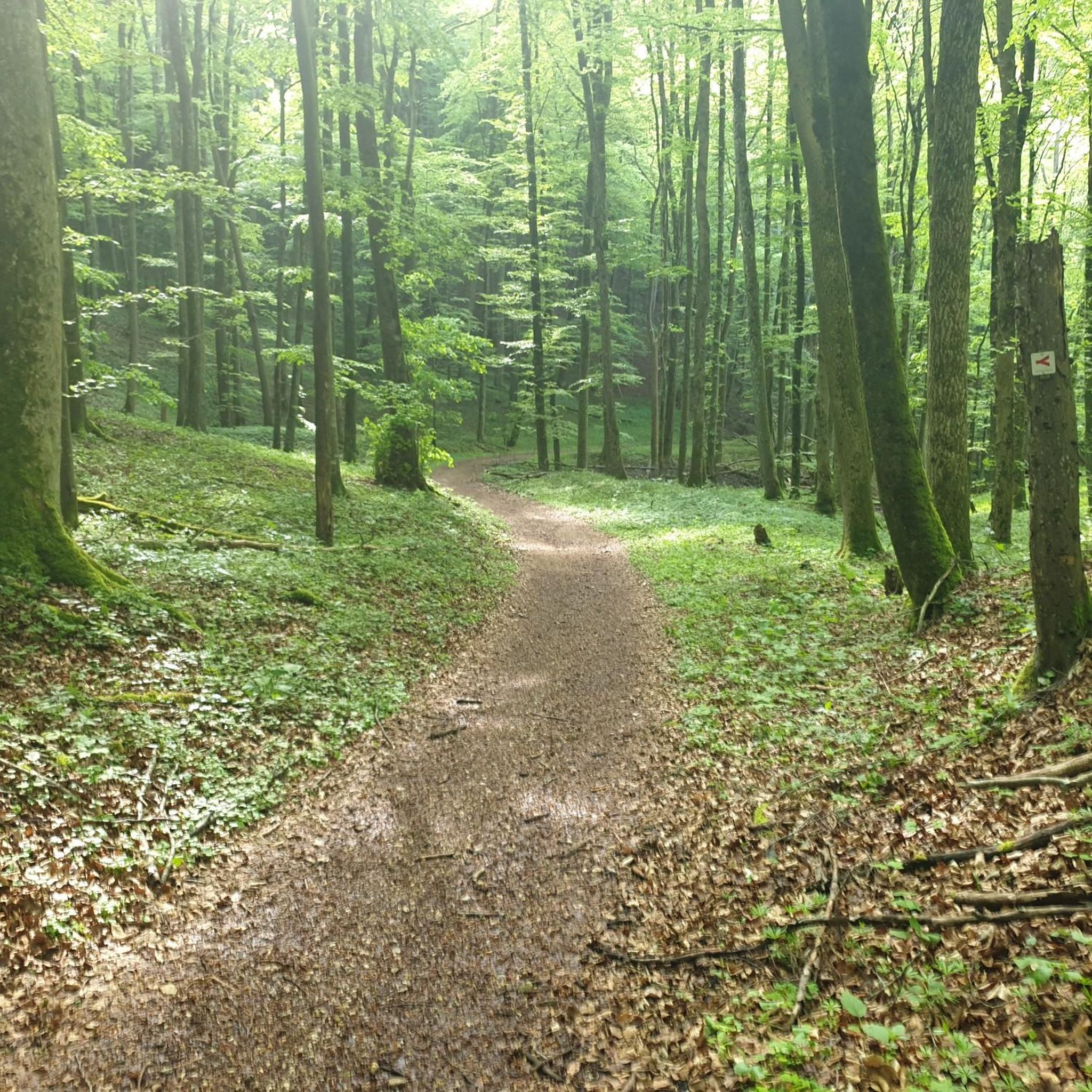
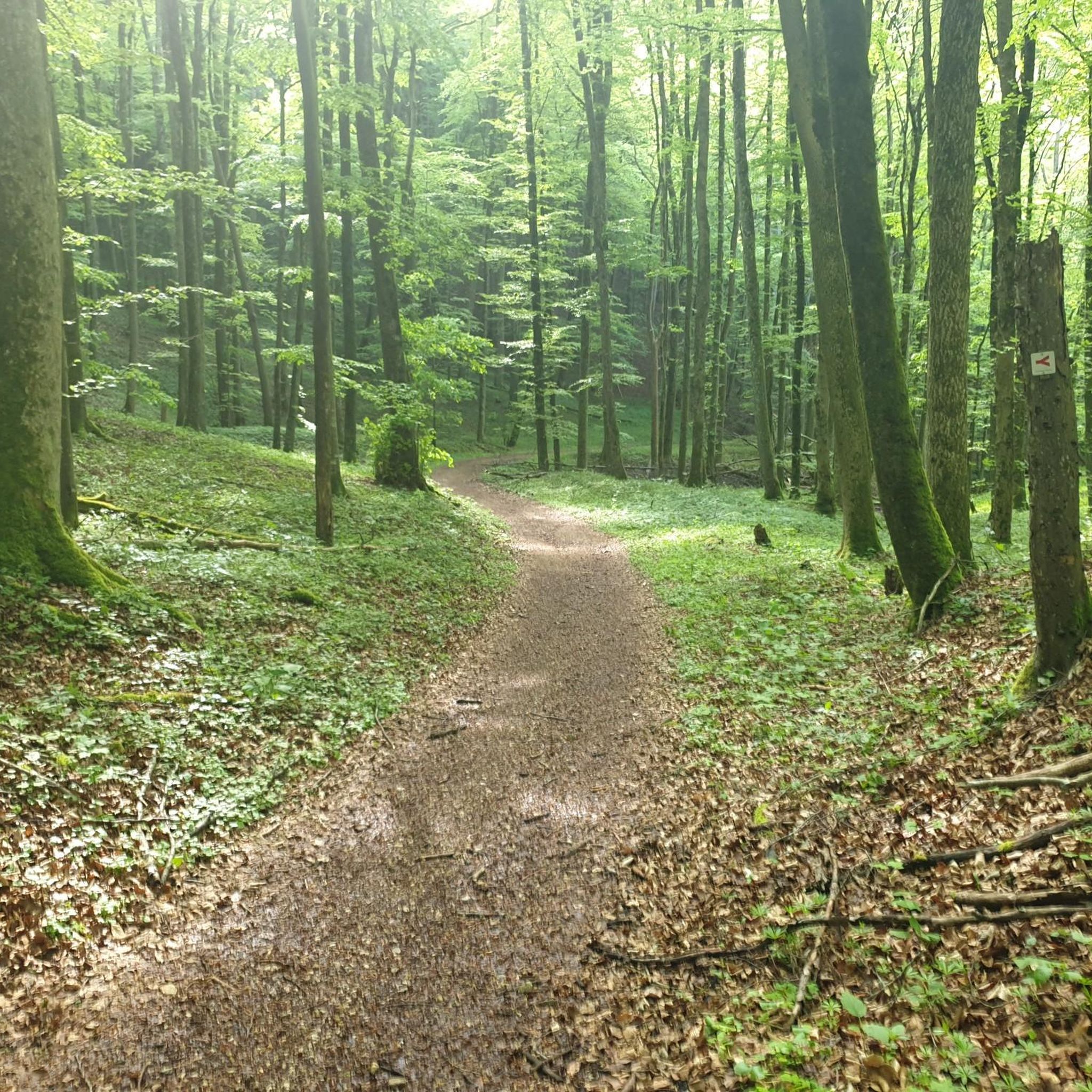
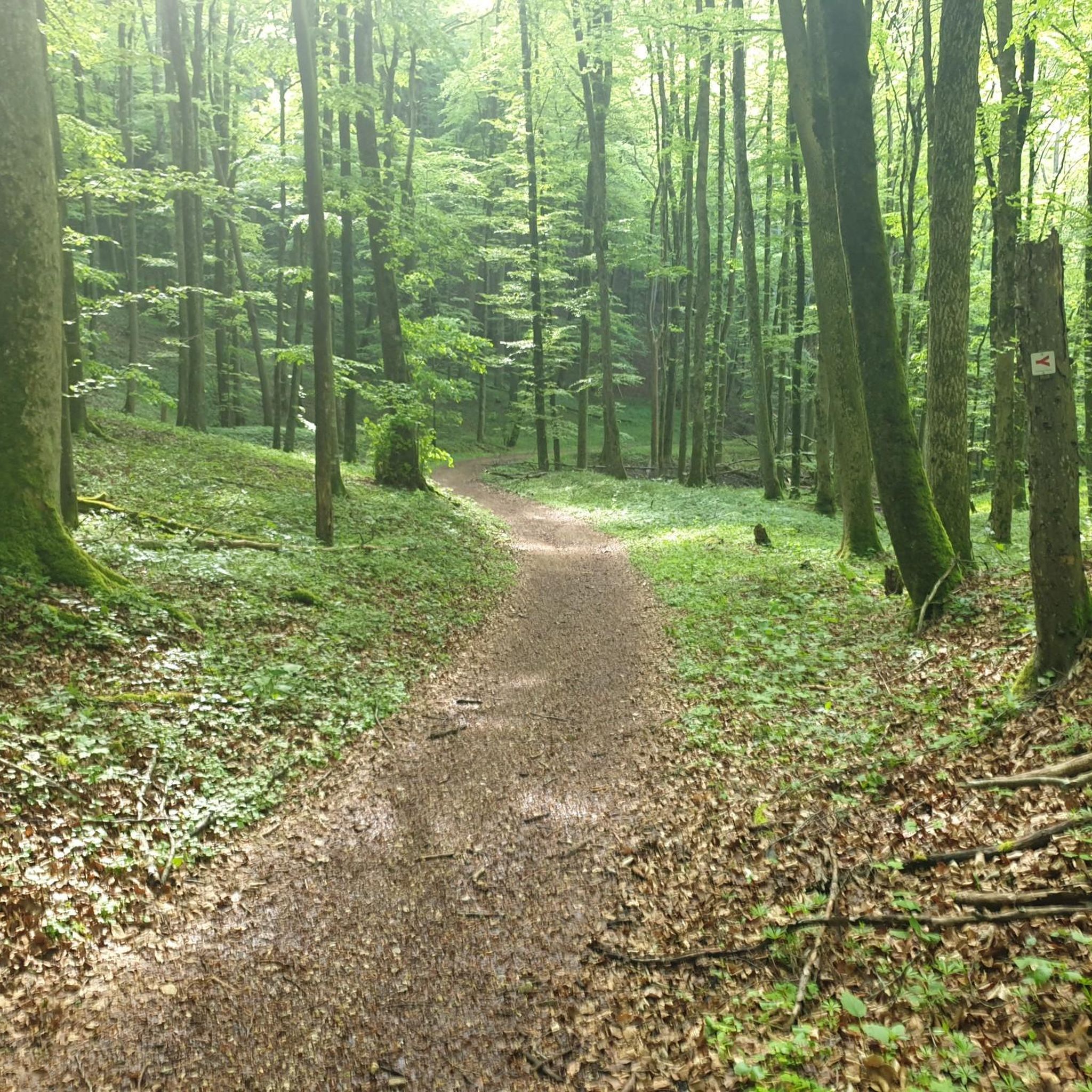
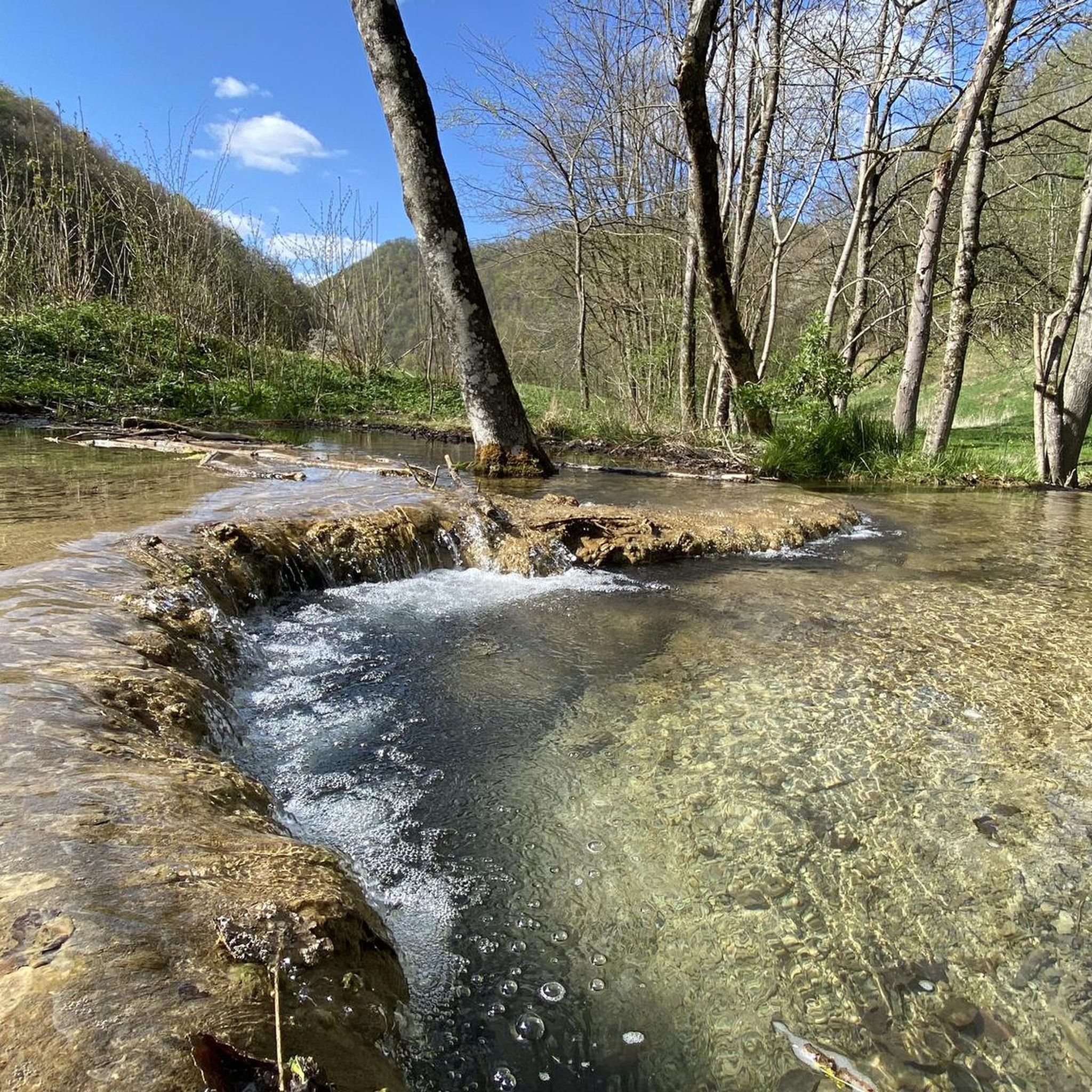
Hiking in Donntal - Lange Steige, located within the northern Swabian Alb Biosphere Reserve, features diverse landscapes suitable for outdoor activities. The region is characterized by protected forests, expansive meadows, and the meandering Donntalbach stream. Hikers can encounter unique geological formations such as Sinterterrassen and experience the dramatic backdrop of the Albtrauf, the steep northwestern edge of the Swabian Alb.
Best hiking trails in Donntal - Lange Steige
- The most popular hiking route is Weiße Lauter Sinter Terraces – Höllstern…
Last updated: June 28, 2026
4.5
(194)
686
hikers
Easy hike. Great for any fitness level. Easily-accessible paths. Suitable for all skill levels.
4.8
(90)
341
hikers
Moderate hike. Good fitness required. Mostly accessible paths. Sure-footedness required.

Sign up for free
4.6
(45)
162
hikers
Moderate hike. Good fitness required. Easily-accessible paths. Suitable for all skill levels.
4.7
(40)
159
hikers
Moderate hike. Good fitness required. Easily-accessible paths. Suitable for all skill levels.
4.7
(158)
487
hikers
Moderate hike. Good fitness required. Mostly accessible paths. Sure-footedness required.
Get access to more routes and recommendations from other explorers.
Sign up for free
Already have an account?
Our route recommendations are based on thousands of hikes, rides, and runs completed by other people on komoot.
Start today with a free account
Your next adventure awaits.
Login or Signup


Tips from the Community

In the Erdtal valley of Römerstein you can hike beautifully, mostly through forests and discover rustic, huge rocks.
2
0

The rock formations are beautiful to look at.
0
0

nice signpost along the way
0
0

Actually a good alternative to the main road, but also used by many cyclists 😉
0
0

A large, free hiking parking lot is located on the outskirts of Schlattstall. Numerous hikes (Weiße Lauter, Lange Steige, etc.) can be started from here.
4
0
We arrived by car and parked our car in the hiking car park in Gutenberg. The hiking car park “Gutenberg” is located on Lindenstrasse in 73252 Gutenberg.
2
1
The Höllsternquelle is nice to look at
2
0
You can take a lovely walk along the Weiße Lauter and enjoy the peace and the beautiful nature and surroundings.
6
0
Frequently Asked Questions
How many hiking trails are available in Donntal - Lange Steige?
Donntal - Lange Steige offers a wide variety of hiking experiences, with over 1000 routes recorded on komoot. These range from easy strolls to more challenging treks, ensuring there's something for every hiker.
What types of terrain can I expect on the hiking trails in Donntal - Lange Steige?
The region is characterized by diverse terrain, including dense, protected forests and expansive, lush meadows. You'll find paths winding along the picturesque Donntalbach stream, and some routes feature unique geological formations like Sinterterrassen. The dramatic backdrop of the Albtrauf, the steep northwestern edge of the Swabian Alb, also contributes to varied elevation changes.
Are there any easy hikes suitable for beginners or families in Donntal - Lange Steige?
Yes, Donntal - Lange Steige has many easy options. Nearly half of the routes, over 450, are classified as easy. Some paths are specifically noted as being family-friendly and manageable even with strollers. An example is the Weiße Lauter Sinter Terraces – Höllstern Spring loop, an easy 2.9-mile trail that takes about 1 hour 15 minutes.
What natural features or landmarks can I see while hiking in Donntal - Lange Steige?
Hikers can discover a wealth of natural and historical features. The Donntalbach stream with its small cascades is a highlight, as are the unique Sinterterrassen. The area is also home to several caves, such as the Gustav-Jakob-Höhle and the Rossgallschacht. Additionally, you can explore historical sites like the Sperberseck Castle Ruins, dating back to the Staufer period.
Are there any circular hiking routes in Donntal - Lange Steige?
Many of the trails in Donntal - Lange Steige are designed as circular routes, allowing you to start and end at the same point. For instance, the Lange Steige Gorge – Goldloch Cave loop is a moderate 8.3 km circular hike that explores the gorge and a cave.
What is the best time of year to go hiking in Donntal - Lange Steige?
The Donntal - Lange Steige region is beautiful throughout the year, but spring is particularly vibrant. The valley transforms into a 'small paradise' with a rich display of wildflowers and trees. Autumn also offers stunning foliage. While some trails are accessible in winter, checking local conditions is always advisable.
Is Donntal - Lange Steige suitable for dog owners?
The natural environment of Donntal - Lange Steige, with its extensive forests and meadows, makes it a great place for hiking with dogs. Many trails are well-suited for canine companions, but always remember to keep dogs on a leash where required, especially in protected areas like the Bannwald Donntal, and to respect local wildlife.
Where can I find parking for trailheads in Donntal - Lange Steige?
While specific parking information for every trailhead isn't detailed here, many popular starting points for hikes in the region, such as those leading into the Lange Steige Gorge or towards the Sinterterrassen, typically have designated parking areas or trailheads with available parking. It's recommended to check the tour details on komoot for specific parking suggestions for your chosen route.
What do other hikers enjoy most about Donntal - Lange Steige?
The area is highly rated by the komoot community, with an average score of 4.6 stars from over 22,000 reviews. Hikers often praise the tranquility and deep immersion in nature offered by the dense forests, the picturesque Donntalbach stream, and the unique geological formations like the Sinterterrassen.
Are there any challenging hikes for experienced hikers in Donntal - Lange Steige?
Yes, while there are many easy and moderate options, Donntal - Lange Steige also offers more challenging routes. About 50 trails are classified as difficult, providing a good workout for experienced hikers. These often involve greater elevation changes and longer distances, such as the Lange Steige Gorge – Große Schrecke Rock Formation loop, a moderate 10.3-mile path that explores the gorge.
Can I reach the hiking trails in Donntal - Lange Steige using public transport?
The Swabian Alb Biosphere Reserve, where Donntal - Lange Steige is located, generally has public transport connections to its towns and villages. While direct access to every trailhead might vary, it is often possible to reach starting points via bus services from nearby larger towns. We recommend checking local public transport schedules for the specific area you plan to visit.
Most popular routes in Donntal - Lange Steige
Most popular attractions in Donntal - Lange Steige

Get inspired with the komoot mobile app


Explore more
Browse the best Hikes in other regions.
