The best running trails in Apfelwörth
4.1
(81)
1,307
runners
221
runs
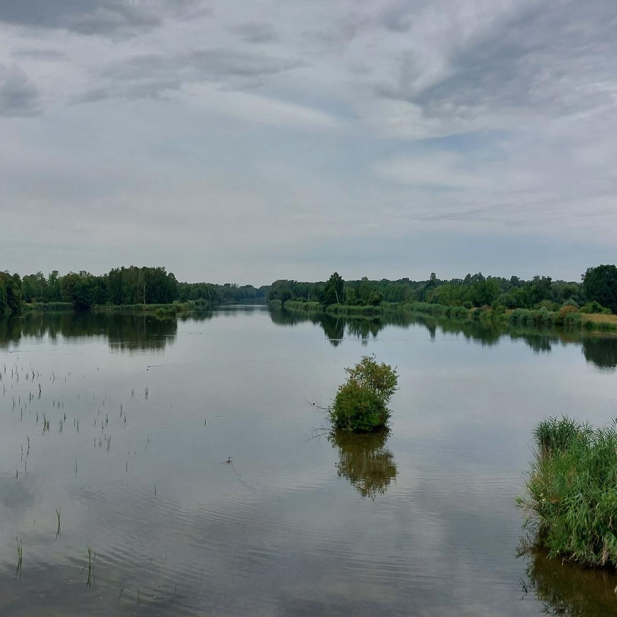
Jogging routes in Apfelwörth are primarily located within its nature reserve, offering well-maintained paths suitable for running. The region is characterized by varied natural landscapes, including wetland areas, oxbow lakes, extensive reed beds, wet meadows, and riparian forests. Trails often follow the Donau river, providing a scenic backdrop. With generally low elevation gains, the terrain is suitable for a range of running abilities.
Best jogging routes in Apfelwörth
- The most popular jogging route is Running loop from Schwenningen (Bayern),…
Last updated: July 5, 2026
5
runners
10.1km
01:03
10m
10m
Moderate run. Good fitness required. Mostly paved surfaces. Suitable for all skill levels.
2
runners
Moderate run. Good fitness required. Mostly paved surfaces. Suitable for all skill levels.

Sign up for free
4.3
(8)
6
runners
10.6km
01:06
20m
20m
Moderate run. Good fitness required. Mostly paved surfaces. Suitable for all skill levels.
4
runners
4.36km
00:27
10m
10m
Easy run. Great for any fitness level. Mostly paved surfaces. Suitable for all skill levels.
4
runners
9.94km
01:03
20m
20m
Moderate run. Good fitness required. Mostly paved surfaces. Suitable for all skill levels.
Get access to more routes and recommendations from other explorers.
Sign up for free
Already have an account?
Our route recommendations are based on thousands of hikes, rides, and runs completed by other people on komoot.
Start today with a free account
Your next adventure awaits.
Login or Signup
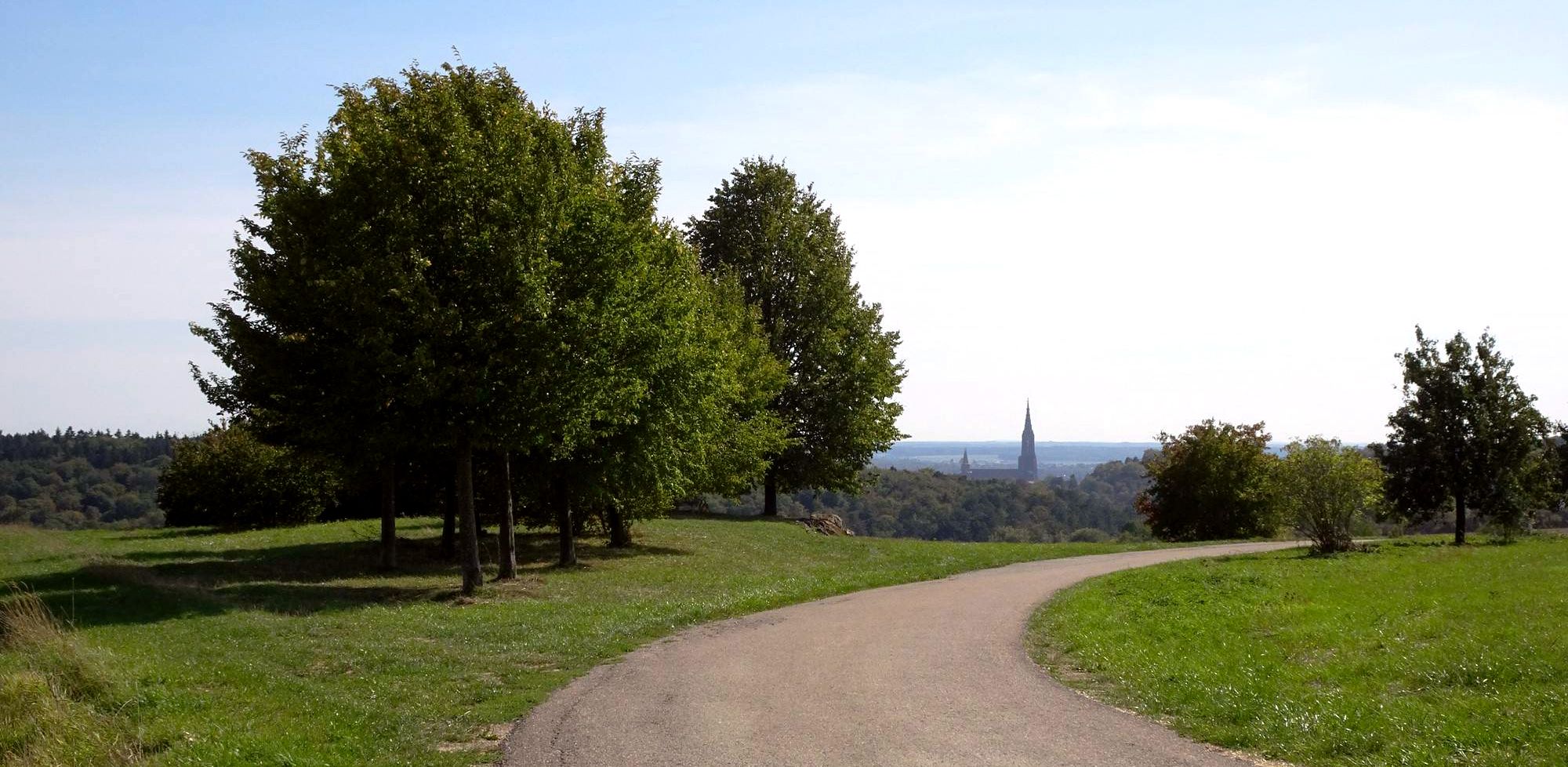
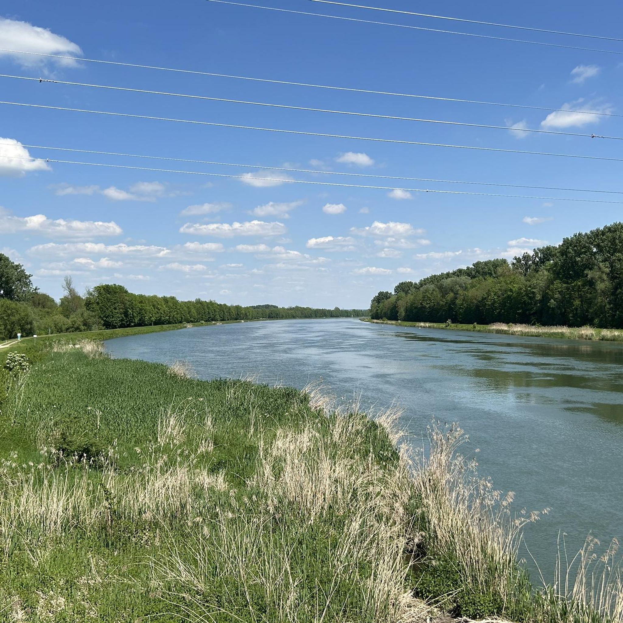
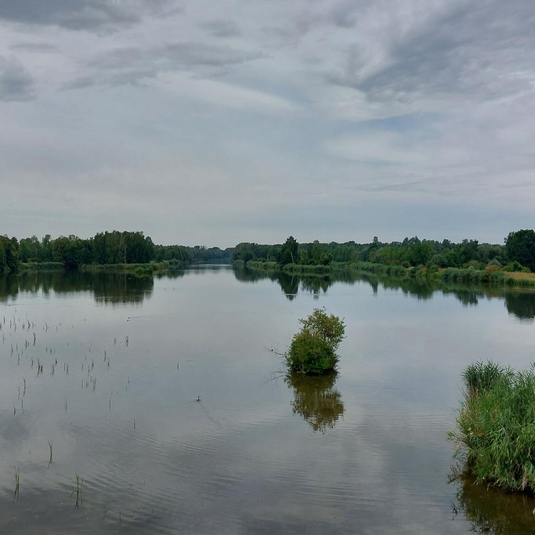

Other adventures in Apfelwörth

Tips from the Community

Very beautiful place. Definitely worth a visit.🤩
1
0


More than 300 years ago, the Breisachmühle was a focal point in the historic battle, the so-called “Battle of Blenheim”. The historic building dates back to the 13th century and now houses a cozy little hotel. There is also a park by the Mühlbach. You can find more information at https://www.breisachmuehle.de/index.php.
3
1

Cycling along rivers is always exciting!
6
0

Small observation tower with bench and table for resting and relaxing.
3
0
Dark past in the Swabian Danube Valley.
0
0
Frequently Asked Questions
How many running routes are available in Apfelwörth?
Apfelwörth offers a wide selection of running routes, with over 220 different trails to explore. This includes a mix of easy, moderate, and some more challenging options, ensuring there's something for every runner.
What is the typical terrain like for running in Apfelwörth?
The terrain in Apfelwörth is primarily characterized by well-maintained paths within its nature reserve. You'll find diverse natural landscapes, including scenic riverside trails along the Donau. The routes generally feature low elevation gains, making them suitable for a range of running abilities.
Are there routes suitable for beginners or easy jogs in Apfelwörth?
Yes, Apfelwörth has several routes ideal for beginners or those looking for an easy jog. There are 24 routes specifically categorized as easy, offering gentle paths through the natural surroundings. Many of the trails have minimal elevation changes, making them accessible for a relaxed run.
What natural features or landmarks can I see while jogging in Apfelwörth?
While jogging in Apfelwörth, you can enjoy various natural highlights. Keep an eye out for the Danube Near Schwenningen, the tranquil Bruckmahd Lakes, and the picturesque Lily pond near Blindheim. You'll also find information boards about the Apfelwörth Nature Reserve itself.
What do other runners say about the trails in Apfelwörth?
The running trails in Apfelwörth are highly regarded by the komoot community, boasting an average rating of 4.1 stars from over 70 reviews. More than 1300 runners have explored these routes, often praising the peaceful natural environment, well-maintained paths, and the scenic beauty of the Donau riverside.
Are the running trails in Apfelwörth dog-friendly?
As a nature reserve, Apfelwörth generally welcomes dogs on its trails, though it's always recommended to keep them on a leash to protect wildlife and ensure a pleasant experience for all users. The well-maintained paths and varied landscapes offer a great environment for you and your canine companion.
Are there family-friendly jogging options in Apfelwörth?
Many of Apfelwörth's running routes are suitable for families, especially those with low elevation gains and well-maintained surfaces. The nature reserve setting provides a safe and engaging environment for children to enjoy the outdoors while you jog. Consider routes with shorter distances for younger family members.
Where can I find parking for the running routes in Apfelwörth?
Parking is typically available at the starting points of many popular routes, especially near villages bordering the nature reserve like Gremheim, Blindheim, or Unterglauheim. Look for designated parking areas often signposted for hikers and outdoor enthusiasts.
What are the typical distances and durations of running routes in Apfelwörth?
Running routes in Apfelwörth vary in length and duration. For example, the Running loop from Schwenningen (Bayern) is about 4.6 miles (7.4 km) and takes around 46 minutes. Another option is the Auwald Suspension Bridge – Schloss Höchstädt loop from Höchstädt an der Donau, which is also about 4.6 miles (7.4 km) and takes a similar amount of time.
Are there any longer running routes for more experienced runners?
Yes, for more experienced runners seeking longer distances, Apfelwörth offers several options. While many routes are moderate, you can combine sections or explore some of the longer trails. For instance, the Running loop from Unterglauheim is nearly 6.2 miles (9.9 km), providing a good challenge through tranquil natural surroundings.
What kind of elevation gain can I expect on Apfelwörth's running trails?
The running trails in Apfelwörth are generally characterized by low elevation gains, making them quite accessible. For example, the Running loop from Gremheim has an elevation gain of only about 14 meters, and the Running loop from Blindheim has approximately 17 meters of ascent. This makes for a relatively flat and enjoyable running experience.
Are there any circular running routes in Apfelwörth?
Yes, many of the running routes in Apfelwörth are designed as circular loops, offering a convenient way to start and end your run at the same point. Examples include the Running loop from Gremheim and the Running loop from Blindheim, both popular circular options.
Most popular routes in Apfelwörth
Most popular attractions in Apfelwörth

Get inspired with the komoot mobile app


Explore more
Browse the best Running Trails & Routes in other regions.
