The best MTB trails in Dattenhauser Ried
4.5
(442)
1,606
riders
184
rides
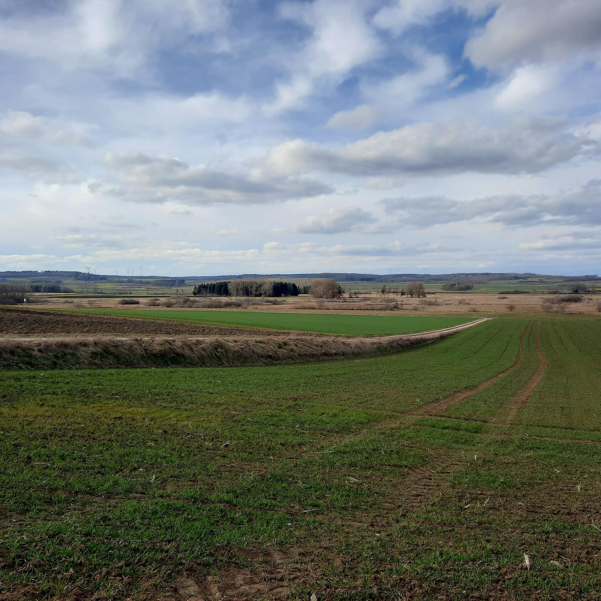
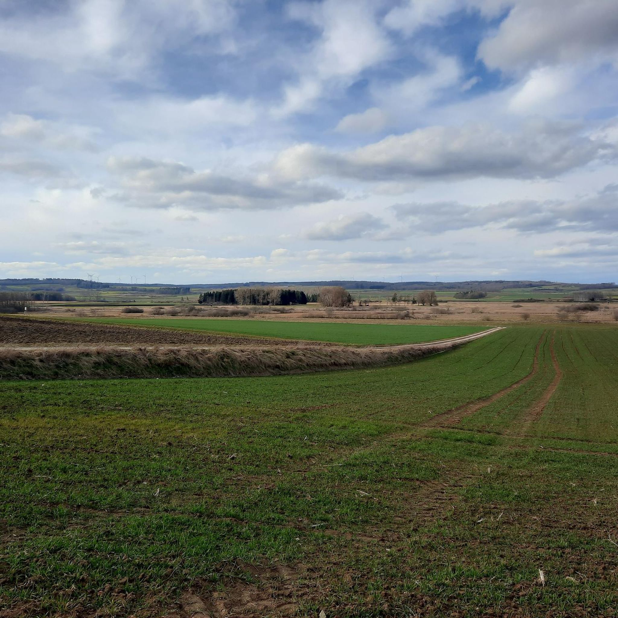
Mountain bike trails in Dattenhauser Ried traverse a unique protected moorland landscape, characterized by significant fens and wetlands within the Swabian Alb natural region. This diverse ecosystem, formed over thousands of years, provides varied terrain for cyclists. The area's natural features include extensive moorland, contributing to a distinctive outdoor experience.
Best mountain bike trails in Dattenhauser Ried
- The most popular mountain bike trail is Ötterlesbrunnen – Schmaudersgrube Pond loop from Oberbechingen, a 28.0 miles (45.0 km) moderate trail that…
Last updated: October 7, 2026
4.0
(1)
20
riders
44.4km
02:32
290m
290m
Moderate mountain bike ride. Good fitness required. Suitable for all skill levels.
5.0
(2)
9
riders
21.4km
01:13
110m
110m
Easy mountain bike ride. Great for any fitness level. Suitable for all skill levels.

6
riders
48.5km
03:02
490m
490m
Moderate mountain bike ride. Good fitness required. Suitable for all skill levels.
4
riders
32.2km
01:54
170m
170m
Easy mountain bike ride. Great for any fitness level. Suitable for all skill levels.
5.0
(1)
3
riders
Moderate mountain bike ride. Good fitness required. Advanced riding skills necessary.
Get access to more routes and recommendations from other explorers.
Already have an account?
Our route recommendations are based on thousands of hikes, rides, and runs completed by other people on komoot.
Start today with a free account
Your next adventure awaits.
Tips from the Community

☢️ Gundremmingen Nuclear Power Plant – a landmark has disappeared For decades, the two giant cooling towers of the Gundremmingen Nuclear Power Plant were a fixture of the Danube landscape. The view has now completely changed: On October 25, 2025, both cooling towers were demolished in a controlled demolition as part of the dismantling process. The dimensions were enormous: Each cooling tower was around 160 meters high. Approximately 600 kg of explosives were used in 1,800 boreholes for the demolition. In just about 45 seconds, both towers lay on the ground. This generated about 56,000 tons of demolition material, most of which is to be processed into recycled gravel. Around 30,000 spectators watched the demolition. Incidentally, the cooling towers themselves had never come into contact with radioactivity during the power plant's operation. The power plant itself was also a facility of superlatives. Blocks B and C were boiling water reactors and went into operation in 1984. Together, they generated around 692 billion kilowatt-hours of electricity during their operating period. Block B was finally shut down at the end of 2017, and Block C at the end of 2021. The dismantling is still ongoing and will take many more years. While the location is still recognizable from the cycle path along the Danube – without the two widely visible cooling towers, the silhouette looks completely different today. 🚲 Anyone who knew the route from before will need some time to get used to this sight. A piece of the region's industrial and energy history has thus definitively disappeared from the landscape. Greetings Marcus ✌🏼
1
0
🚲 Danube Cycle Path – 2024 flood damage repaired The 2024 floods had also left clear marks on the Danube Cycle Path. Parts of the path were heavily washed out and damaged – in places, hardly anything was left of the actual cycle path. Things look quite different here again now. 👍🏼 The damage has been repaired, the affected sections have been restored, and the path can once again be ridden by bike in the best possible way. 🚲👌🏼 It’s nice to see that practically nothing of the flood damage from back then is recognizable today and you can enjoy the route along the Danube without restriction again. 🌿 Greetings Marcus ✌🏼
1
0


The beer garden was closed, but it is very nicely located.
1
0

Very cozy, invites you to rest
0
0

On the wobbly bridge you can practice your balance skills on the bike.
0
0

Cyclists and pedestrians share the path here, so please be careful of each other.
4
0

Relax on a rocking lounger. It couldn't be more comfortable.
1
0
Frequently Asked Questions
How many mountain bike trails are there in Dattenhauser Ried?
Dattenhauser Ried offers a wide selection of mountain bike routes, with over 200 trails available. This includes a diverse range of options suitable for various skill levels.
Are there easy mountain bike trails suitable for beginners or families?
Yes, Dattenhauser Ried has plenty of options for less experienced riders and families. There are 69 easy mountain bike trails, such as the Biergarten Adler Oberbechingen – Haunsheim Cycle Path loop from Bachhagel, which is 13.3 miles (21.4 km) long and offers a relaxed ride through scenic surroundings.
What about more challenging routes for experienced mountain bikers?
For those seeking a greater challenge, Dattenhauser Ried features 2 difficult mountain bike trails. Additionally, there are 134 moderate routes, including the Ötterlesbrunnen – Schmaudersgrube Pond loop from Oberbechingen, a 28.0 miles (45.0 km) trail with significant elevation changes, providing a comprehensive tour for more experienced riders.
What kind of terrain can I expect on the mountain bike trails in Dattenhauser Ried?
The terrain in Dattenhauser Ried is diverse, reflecting its unique status as the largest moorland area in the Swabian Alb. You can expect to ride through fens and wetlands, alongside riverside paths, and across varied landscapes characteristic of the region. The trails combine active recreation with immersion in a biodiverse ecosystem.
Are there any viewpoints or interesting natural features to see along the trails?
Yes, Dattenhauser Ried is rich in natural features. As a significant moorland, it's a crucial habitat for numerous bird species, making birdwatching a popular activity. For a panoramic view of the entire Ried, a climate protection station with a viewing tower is accessible from the south, near Oberbechingen. Many routes, like the Brenz Riverside Path – Schmaudersgrube Pond loop from Oberbechingen, also lead through picturesque riverside areas.
What is the best time of year for mountain biking in Dattenhauser Ried?
Dattenhauser Ried offers a unique experience throughout the year. While spring and autumn are ideal for observing migratory birds and enjoying milder weather, the renaturation efforts mean the moorland is vibrant in warmer months. Even in winter, you might spot silver herons and thrush flocks. Always check local weather conditions before heading out, as the wetland nature of the area can influence trail conditions.
Are there any circular mountain bike routes in Dattenhauser Ried?
Many of the mountain bike routes in Dattenhauser Ried are designed as loops, allowing you to start and finish at the same point. Examples include the popular Ötterlesbrunnen – Schmaudersgrube Pond loop from Oberbechingen and the Brenz River – Schimmelturm, Lauingen loop from Ziertheim, which is an easy 32.2 km ride.
Can I bring my dog on the mountain bike trails in Dattenhauser Ried?
While Dattenhauser Ried is a protected natural area, many trails are generally accessible for dogs, provided they are kept on a leash to protect the local wildlife, especially ground-nesting birds and other sensitive species in the moorland. Always ensure your dog is under control and follow any local signage regarding pet regulations.
What do other mountain bikers say about the trails in Dattenhauser Ried?
The mountain bike trails in Dattenhauser Ried are highly regarded by the komoot community, with an average rating of 4.6 stars from over 300 reviews. Many mountain bikers praise the unique moorland landscape, the varied terrain, and the opportunity to combine active cycling with exceptional natural immersion.
How long are the mountain bike trails in Dattenhauser Ried?
The mountain bike trails in Dattenhauser Ried vary significantly in length. You can find shorter, easy routes like the Biergarten Adler Oberbechingen – Haunsheim Cycle Path loop from Bachhagel at 13.3 miles (21.4 km), up to longer, more demanding tours such as the Danube Cyclist Rest Stop – Galluskirche Sontheim-Brenz loop from Bachhagel, which covers 31.3 miles (50.4 km).
Is public transport available to reach the mountain bike trails in Dattenhauser Ried?
While Dattenhauser Ried is a natural area, some nearby towns like Bachhagel, Ziertheim, and Oberbechingen may have limited public transport connections. It's advisable to check local bus schedules or regional train services to these villages, as direct access to the trailheads by public transport might require some planning.
Are there cafes or places to eat near the mountain bike trails?
The villages surrounding Dattenhauser Ried, such as Bachhagel, Ziertheim, and Oberbechingen, offer local eateries and cafes where you can refuel after your ride. For example, the Biergarten Adler Oberbechingen – Haunsheim Cycle Path loop from Bachhagel route even starts near a Biergarten, providing a convenient option.
Most popular routes in Dattenhauser Ried

Get inspired with the komoot mobile app


Explore more
Browse the best MTB trails in other regions.
