The best MTB trails in Firnhabermoos
4.6
(487)
1,873
riders
330
rides
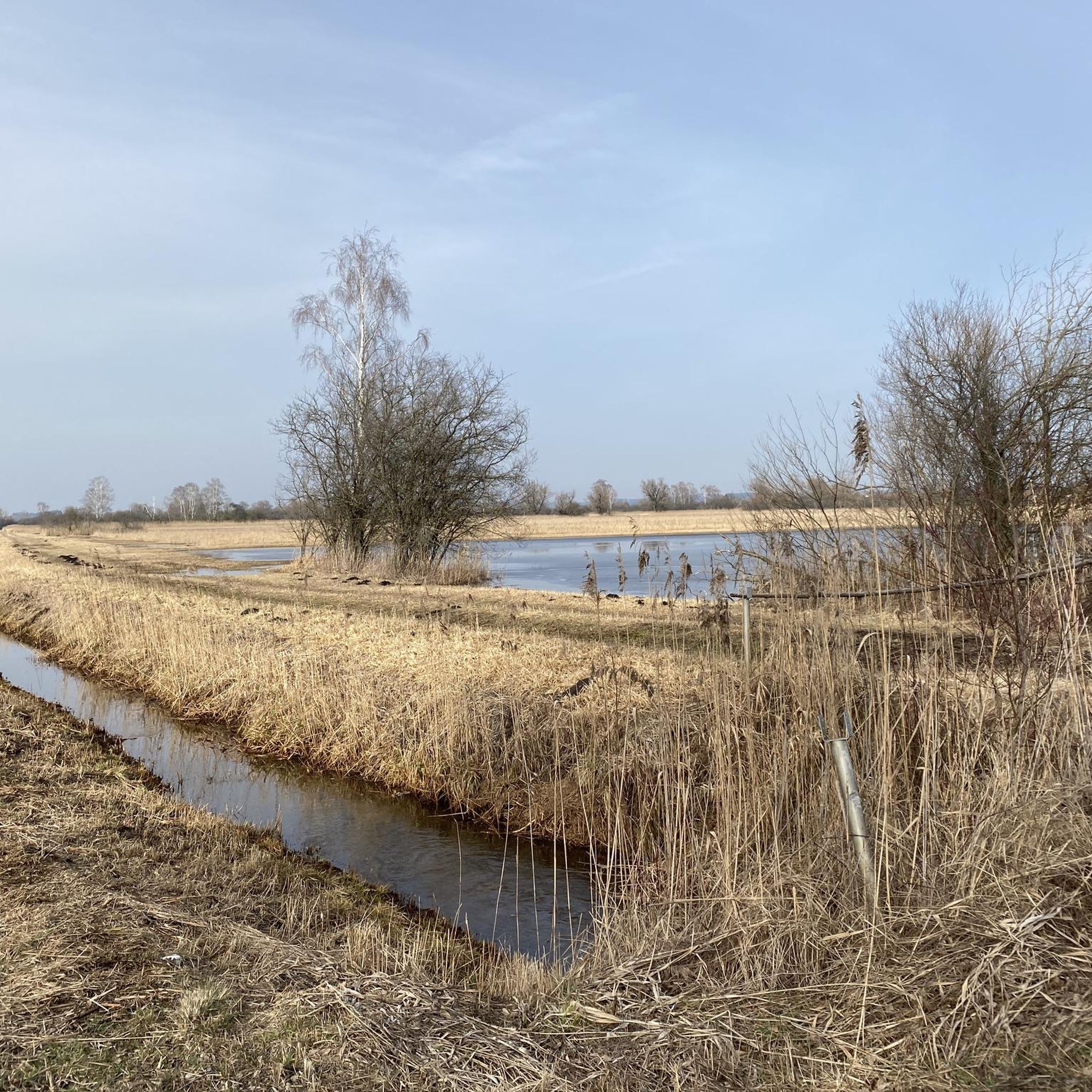
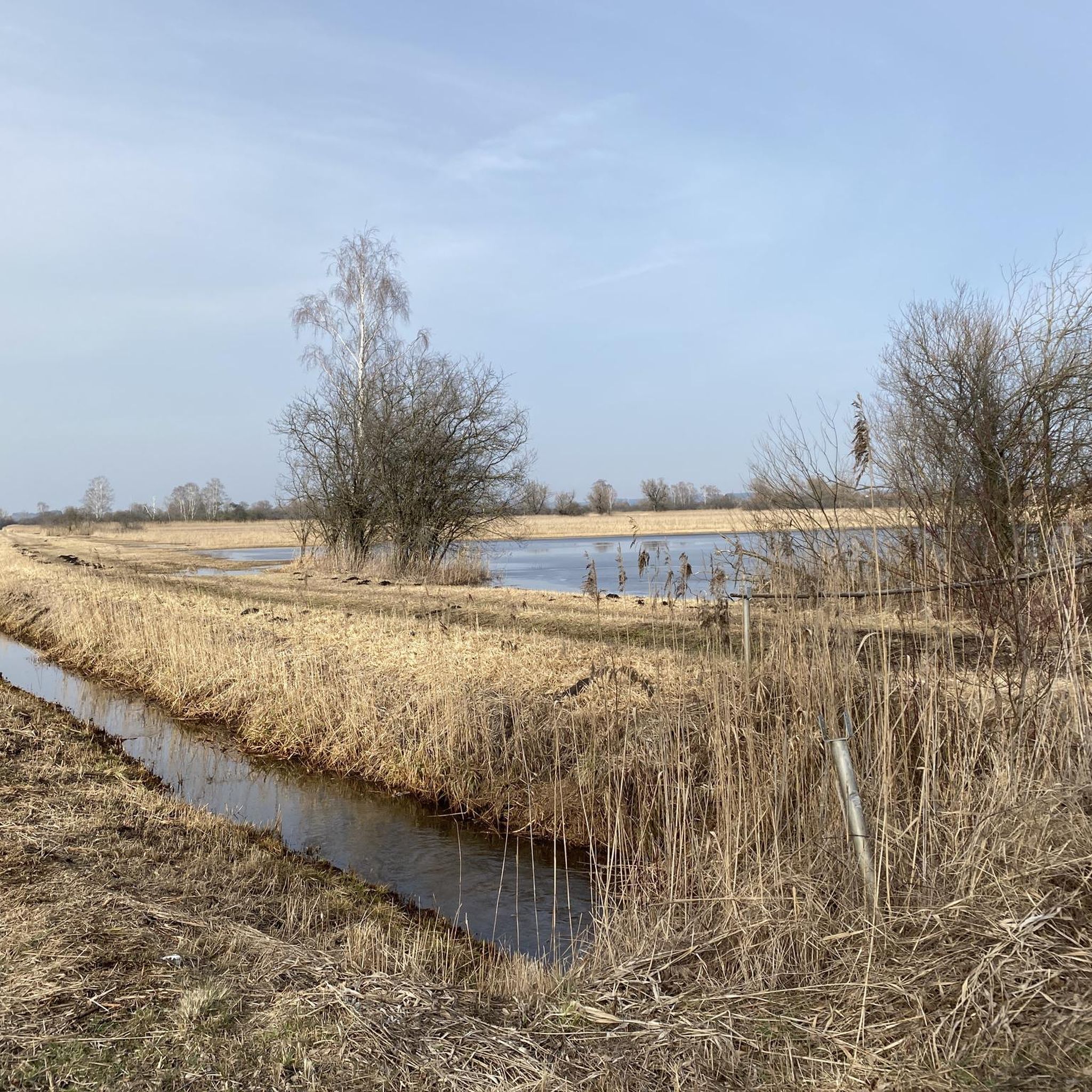
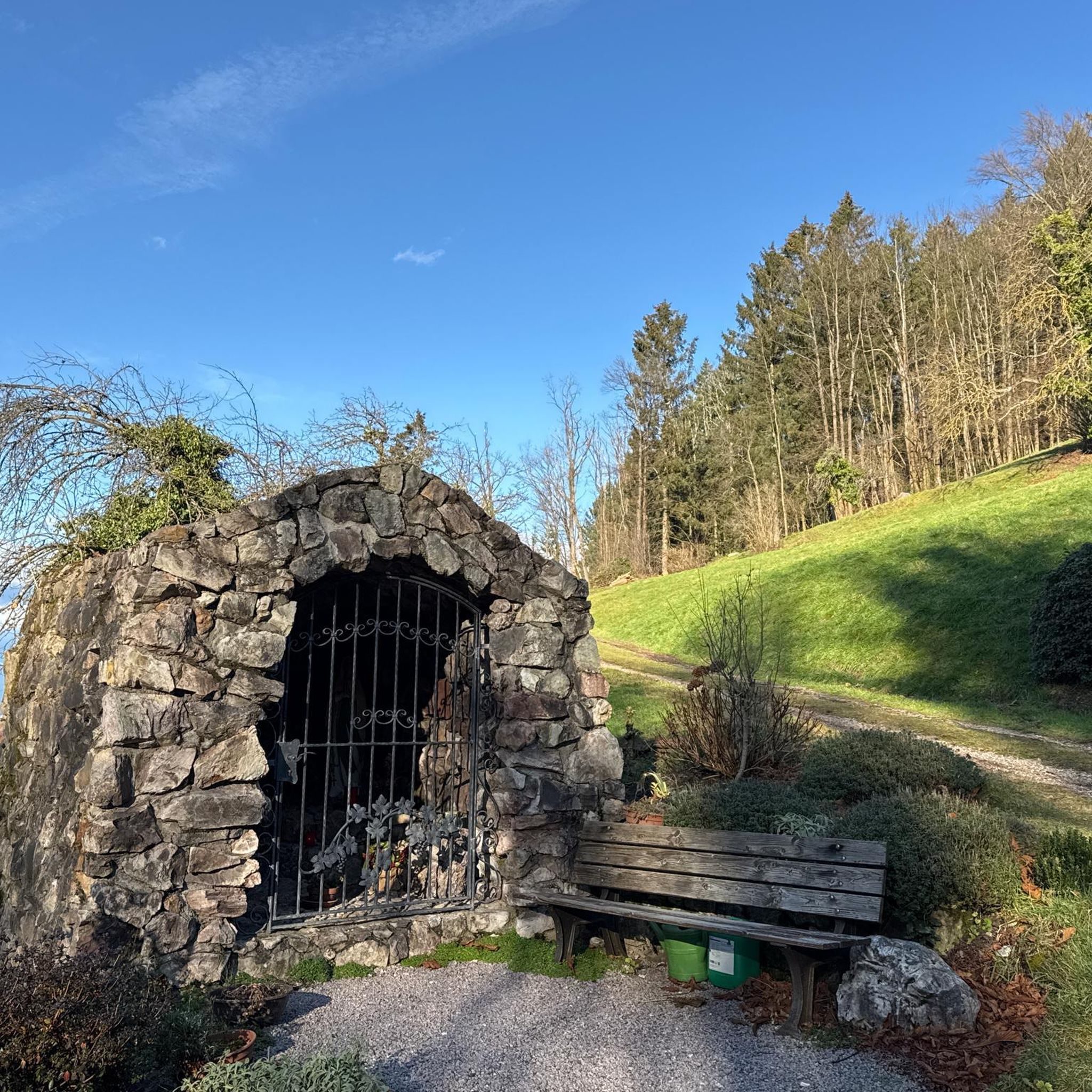
Mountain biking in Firnhabermoos offers diverse routes within the natural park of Danube-Ries. The terrain features river valleys, agricultural landscapes, and wooded sections, providing varied riding experiences. Riders can explore paths connecting small towns and chapels, with gentle elevation changes. The region is characterized by its rural charm and accessible trails.
Best mountain bike trails in Firnhabermoos
- The most popular mountain bike trail is Jasarevic Chapel Buttenwiesen – Oberthürheim Chapel loop from Rettingen, a 34.4 miles (55.4 km) trail…
Last updated: July 11, 2026
5.0
(4)
9
riders
55.0km
03:13
230m
230m
Moderate mountain bike ride. Good fitness required. Suitable for all skill levels.
4.5
(6)
20
riders
Moderate mountain bike ride. Good fitness required. Advanced riding skills necessary.

Sign up for free
4.9
(8)
26
riders
58.4km
03:58
560m
560m
Moderate mountain bike ride. Good fitness required. Suitable for all skill levels.
4.3
(3)
12
riders
48.8km
03:23
210m
210m
Moderate mountain bike ride. Good fitness required. Advanced riding skills necessary.
4.6
(8)
16
riders
Moderate mountain bike ride. Good fitness required. Advanced riding skills necessary.
Get access to more routes and recommendations from other explorers.
Sign up for free
Already have an account?
Our route recommendations are based on thousands of hikes, rides, and runs completed by other people on komoot.
Start today with a free account
Your next adventure awaits.
Login or Signup
Tips from the Community

Many signs were very confusing, and then there was no location information at all, so we had to turn around and go back almost the same way.
0
0

As of August 2025, surrounded by a construction fence!
1
0

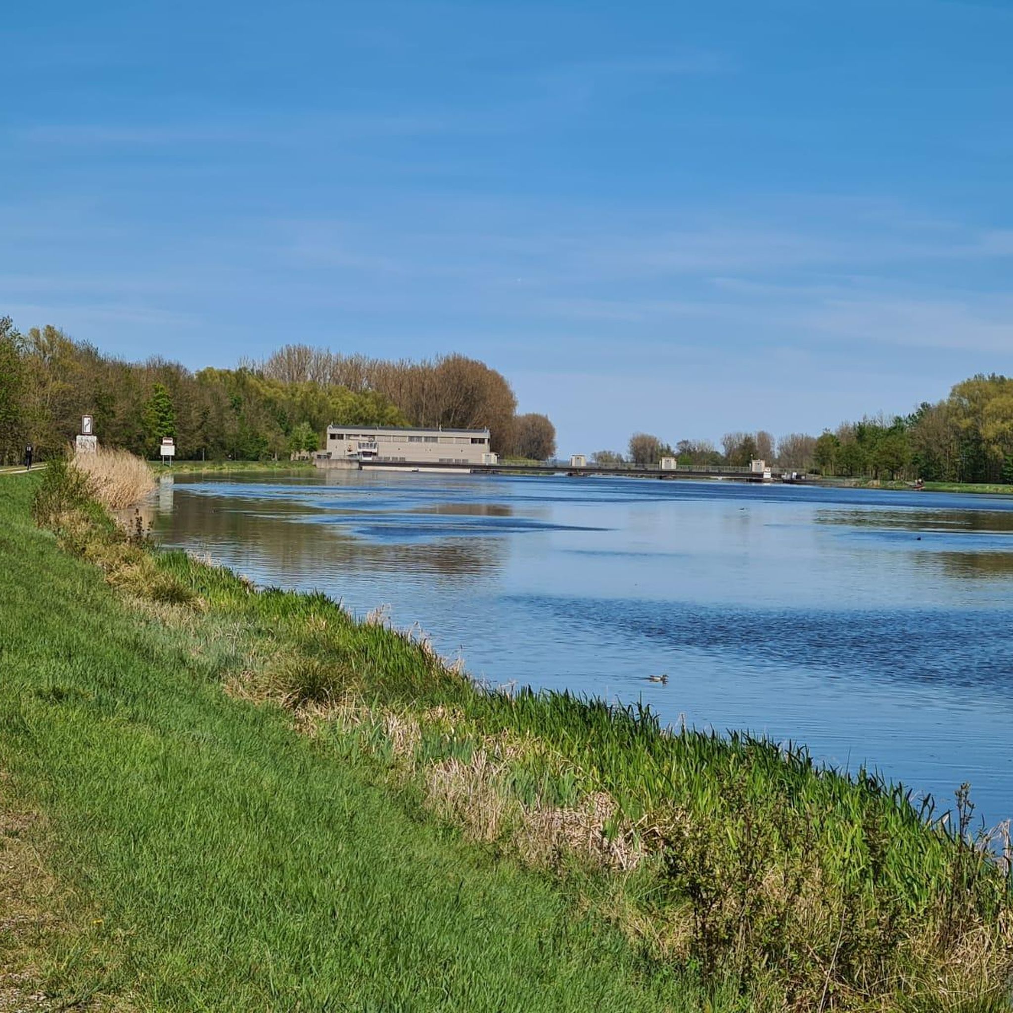
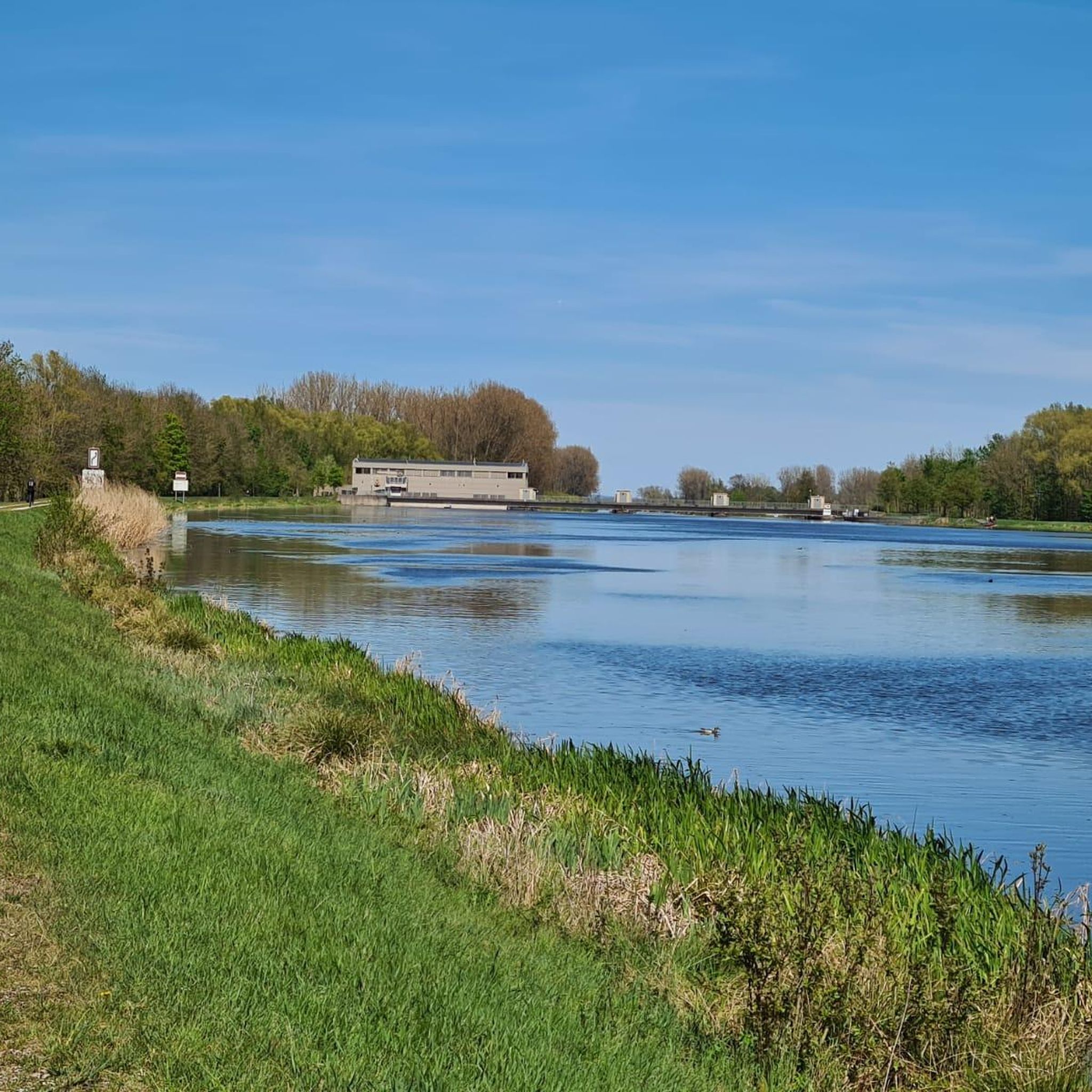
The Lech is a right tributary of the Danube. The 256 km long river originates in Vorarlberg in the Hochtannberg region at the confluence of the Spullerbach and Formarinbach streams in the Tannläger valley. It flows through Tyrol and southern Bavaria, where it empties into the Danube. Shortly before the Austrian-German border, it joins the Vils river, forms the artificial Lechfall near Füssen, and crosses Swabia and Upper Bavaria on its way. The largest cities on the Lech are Landsberg and Augsburg; in this city, it receives its largest tributary, the Wertach. The river empties into the Danube near Marxheim. Source: Wikipedia
1
0
The Lech is a right tributary of the Danube. The 256 km long river originates in Vorarlberg in the Hochtannberg region at the confluence of the Spullerbach and Formarinbach streams in the Tannläger valley. It flows through Tyrol and southern Bavaria, where it empties into the Danube. Shortly before the Austrian-German border, it joins the Vils river, forms the artificial Lechfall near Füssen, and crosses Swabia and Upper Bavaria on its way. The largest cities on the Lech are Landsberg and Augsburg; in this city, it receives its largest tributary, the Wertach. The river empties into the Danube near Marxheim. Source: Wikipedia
1
0
The Lech is a right tributary of the Danube. The 256 km long river originates in Vorarlberg in the Hochtannberg region at the confluence of the Spullerbach and Formarinbach streams in the Tannläger valley. It flows through Tyrol and southern Bavaria, where it empties into the Danube. Shortly before the Austrian-German border, it joins the Vils river, forms the artificial Lechfall near Füssen, and crosses Swabia and Upper Bavaria on its way. The largest cities on the Lech are Landsberg and Augsburg; in this city, it receives its largest tributary, the Wertach. The river empties into the Danube near Marxheim. Source: Wikipedia
1
0

...with a little horror factor 💀☠️
0
0

Built in the 14th century as a hilltop castle
0
0

nice flowing trail without difficulties
0
0
Frequently Asked Questions
How many mountain bike trails are available in Firnhabermoos?
Firnhabermoos offers a wide network of mountain bike trails, with over 340 routes available for exploration. These trails cater to various skill levels, from easy to moderate, ensuring there's something for every rider.
What kind of terrain can I expect on mountain bike trails in Firnhabermoos?
The terrain in Firnhabermoos is diverse, characterized by river valleys, agricultural landscapes, and wooded sections. You'll find paths connecting small towns and chapels, with generally gentle elevation changes, making for varied riding experiences.
Are there any easy mountain bike trails suitable for beginners in Firnhabermoos?
Yes, Firnhabermoos has over 110 easy mountain bike trails, perfect for beginners or those looking for a relaxed ride. These routes typically feature gentle elevation changes and accessible paths through the rural landscape.
Are there any moderate mountain bike trails for more experienced riders?
For riders seeking a bit more challenge, Firnhabermoos offers over 220 moderate mountain bike trails. These routes often include longer distances and more varied terrain, such as the Jasarevic Chapel Buttenwiesen – Oberthürheim Chapel loop from Rettingen, which covers 34.4 miles.
What are some popular loop trails in Firnhabermoos?
Many trails in Firnhabermoos are designed as loops, offering convenient starting and ending points. Popular options include the Chapel on the Schmutter – Schmutterpfad Trail loop from Mertingen Bahnhof, which follows the Schmutter river, and the Rieder Gate, Donauwörth – Flow Trail at Bock loop from Mertingen Bahnhof, featuring a flow trail section.
What natural features or landmarks can I see along the mountain bike trails?
While riding in Firnhabermoos, you'll encounter picturesque river valleys and agricultural fields. The region is known for its charming chapels and rural scenery. The nearby Filzmoos area, which shares similar characteristics, boasts stunning alpine scenery, including the Dachstein and Bischofsmütze mountains, and rustic mountain huts like the Aualm and Hofalm.
What do other mountain bikers enjoy most about mountain biking in Firnhabermoos?
The mountain bike trails in Firnhabermoos are highly rated by the komoot community, with an average score of 4.6 stars from over 480 reviews. Riders often praise the varied terrain, the accessible nature of the trails, and the peaceful rural charm of the region.
Are there any trails that follow rivers or lakes?
Yes, some trails in Firnhabermoos incorporate river paths. For example, the Chapel on the Schmutter – Schmutterpfad Trail loop from Mertingen Bahnhof follows the Schmutter river, offering scenic riverside sections. Another option is the Feldheimer Stausee Dam – Bertoldsheim Reservoir loop from Bäumenheim, which takes you past water features.
Can I find trails that are suitable for families with children?
Given the prevalence of easy routes and gentle elevation changes, many trails in Firnhabermoos are suitable for families. The rural charm and accessible paths make it a pleasant environment for family-friendly rides, allowing everyone to enjoy the outdoors.
Are there any trails that lead to mountain huts or places to eat?
While specific mountain huts are more characteristic of the nearby Filzmoos region (like the Aualm or Hofalm), the trails in Firnhabermoos often connect small towns. These towns provide opportunities for refreshments and local culinary delights, allowing you to combine your ride with a stop for food.
What is the best season for mountain biking in Firnhabermoos?
The best season for mountain biking in Firnhabermoos generally spans from spring through autumn. During these months, the weather is typically mild, and the trails are in good condition, allowing for comfortable riding through the agricultural fields and wooded areas.
Are there any trails with significant elevation gain for a more challenging ride?
While Firnhabermoos is known for its generally gentle elevation changes, some moderate routes offer more climbing. For instance, the Rieder Gate, Donauwörth – Flow Trail at Bock loop from Mertingen Bahnhof includes nearly 500 meters of elevation gain, providing a more demanding experience.
Most popular routes in Firnhabermoos

Get inspired with the komoot mobile app


Explore more
Browse the best MTB trails in other regions.
