The best running trails in Kreut
4.4
(156)
3,471
runners
274
runs
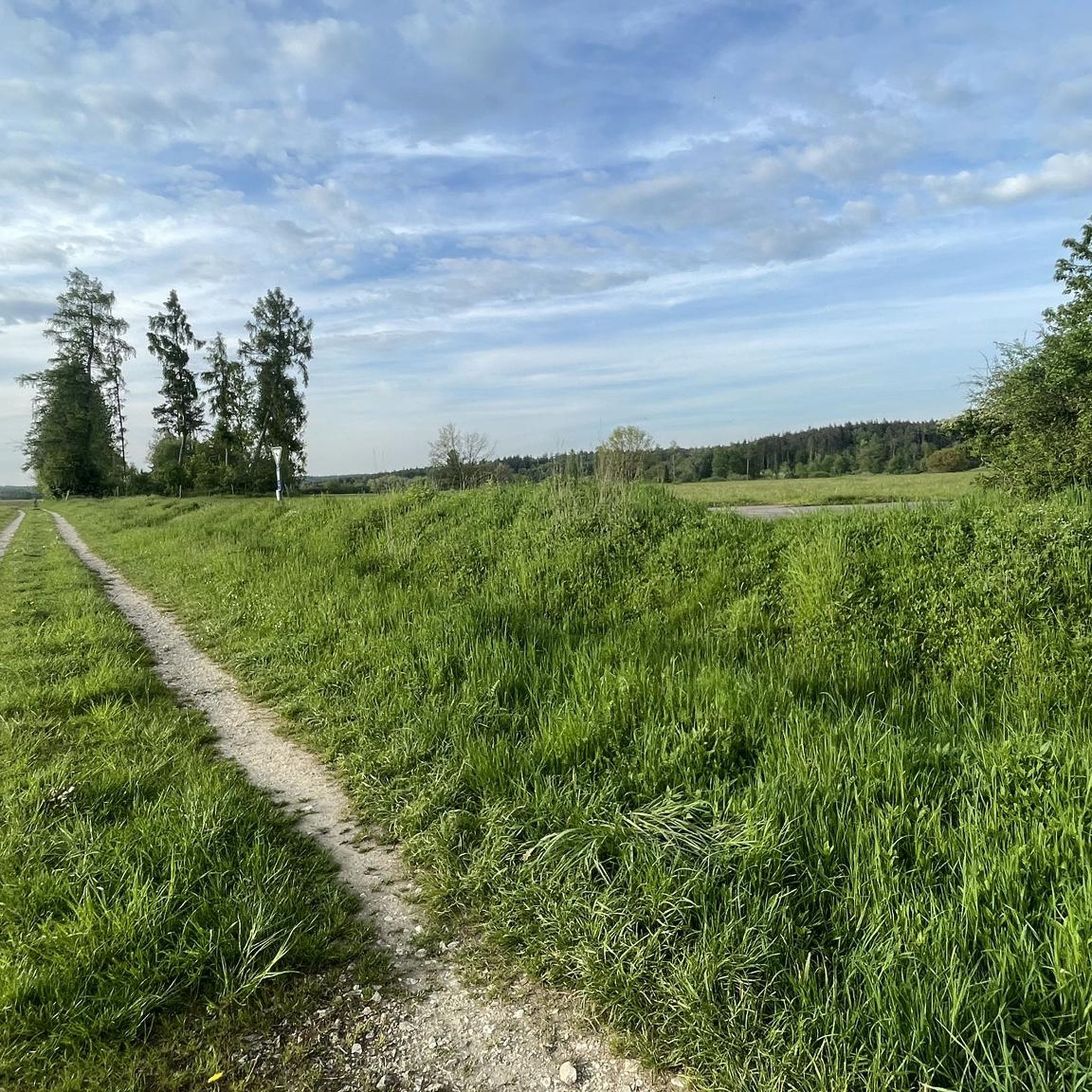
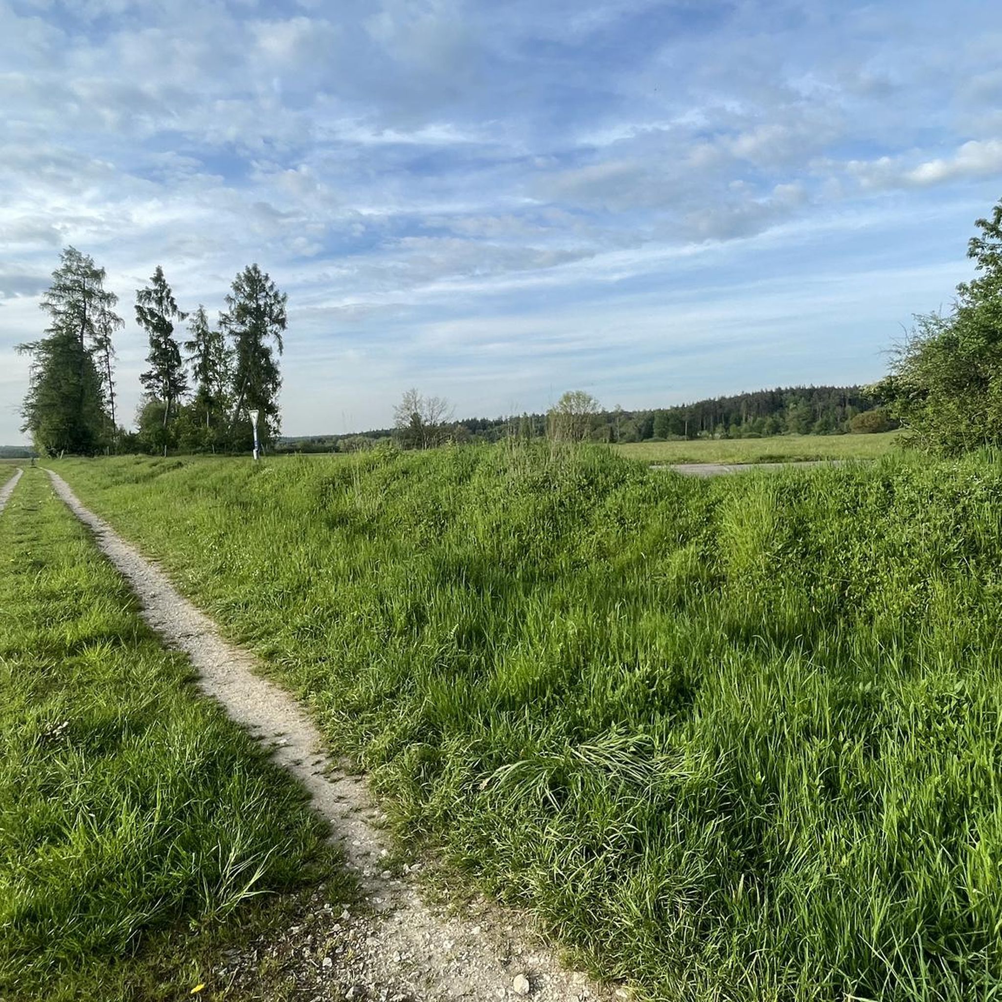
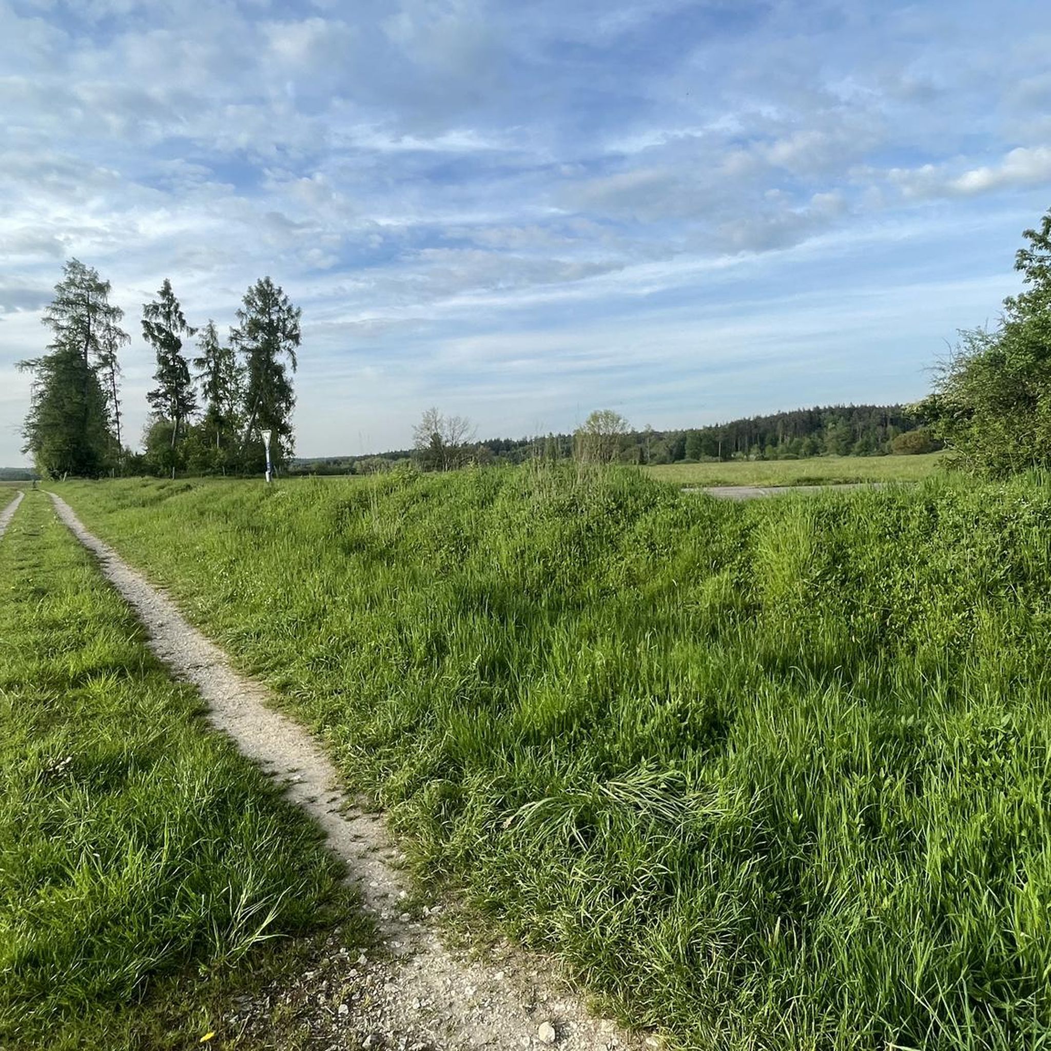
Jogging in Kreut offers diverse terrain within the Tegernsee Valley, set against the backdrop of the Bavarian Alps and Mangfall Mountains. The region features a mix of alpine foothills, unspoilt mountain forests, and wide rivers like the Weissach. Paths range from gentler routes through meadows to more challenging trails with varied elevation. This landscape provides a natural environment for running, with well-marked footpaths suitable for different fitness levels.
Best jogging routes in Kreut
- The most popular jogging route is Josefs…
Last updated: October 8, 2026
13
runners
8.92km
00:57
100m
100m
Moderate run. Good fitness required. Mostly paved surfaces. Suitable for all skill levels.
8
runners
Moderate run. Good fitness required. Mostly paved surfaces. Suitable for all skill levels.

8
runners
Moderate run. Good fitness required. Mostly paved surfaces. Suitable for all skill levels.
3
runners
6.49km
00:46
130m
130m
Moderate run. Good fitness required. Mostly paved surfaces. Suitable for all skill levels.
5.0
(1)
2
runners
5.13km
00:35
60m
60m
Moderate run. Good fitness required. Mostly paved surfaces. Suitable for all skill levels.
Get access to more routes and recommendations from other explorers.
Already have an account?
Our route recommendations are based on thousands of hikes, rides, and runs completed by other people on komoot.
Start today with a free account
Your next adventure awaits.
Tips from the Community

Idyllic cycle path along the Danube
0
0

Donau Kai
0
0

The forest here is a bit like a jungle.
0
0

Neuburg is west of Ingolstadt on the Danube, which divides here and forms an inhabited Danube island (Leopoldineninsel).
1
0

Pure nature .. it's worth taking a deep breath
1
0

a staircase leads to the Danube, so that one can walk along the Danube, a small bridge was built Formerly used as a landing place for ships and for the zills and fish boxes of the Neuburg Danube fishermen. From 1837 there was a landing place for the paddle steamers, which sailed the upper Danube from Regensburg to Donauwörth in regular traffic.
6
0
several bundled love locks along the railing of the Danube with a beautiful view of the Danube
6
0
Frequently Asked Questions
What makes Kreut a good destination for running?
Kreut, nestled in the Tegernsee Valley at the foot of the Bavarian Alps, offers a diverse and picturesque natural landscape ideal for running. Recognized as a 'Mountaineering Village,' it boasts unspoilt mountain forests, wide rivers like the Weissach, and scenic paths ranging from gentle meadows to more challenging alpine foothills. The region's commitment to sustainable tourism ensures well-maintained trails and excellent air quality.
How many running routes are available in Kreut?
There are over 260 running routes available in Kreut, catering to various fitness levels. This extensive network includes paths through alpine foothills, dense forests, and along riverside trails, ensuring a diverse experience for every runner.
Are there easy running routes in Kreut suitable for beginners or a relaxed jog?
Yes, Kreut offers a good selection of easy running routes. Approximately 45 routes are classified as easy, perfect for beginners or those seeking a more relaxed jog. An example is the Running loop from Kreut, which is an easy 2.1 miles (3.4 km) trail often completed in about 20 minutes.
What kind of terrain can I expect on running trails in Kreut?
Runners in Kreut can expect a varied terrain. The routes traverse alpine foothills, dense mountain forests, and scenic paths alongside rivers like the Weissach. You'll find a mix of well-marked footpaths through meadows, as well as more challenging trails with varied elevation as you explore the surrounding Bavarian Alps and Mangfall Mountains.
Are there any circular running routes in Kreut?
Yes, many of the running routes in Kreut are circular, offering convenient starting and ending points. For instance, the Josefs Chapel – Danube River loop from Kreut is a moderate 5.5 miles (8.9 km) circular trail with scenic views. Another option is the Running loop from Kreut, an easy 2.1 miles (3.4 km) loop.
What do other runners enjoy most about jogging in Kreut?
The running routes in Kreut are highly rated by the komoot community, with an average score of 4.4 stars from over 120 reviews. Runners often praise the diverse terrain, from quiet woodlands to riverside paths, and the stunning backdrop of the Bavarian Alps. The well-maintained and varied network of trails is frequently highlighted as a key enjoyment factor.
Are there any specific landmarks or natural features to look out for while running in Kreut?
While running in Kreut, you'll encounter majestic alpine foothills and mountains, offering panoramic views over Lake Tegernsee. The region also features unspoilt mountain forests and the Weissach River, which has a 'Water Adventure Trail' suitable for a leisurely jog. For a more adventurous experience, the Wolfsschlucht Gorge behind Kreuth offers a scenic route with numerous pools.
Are there longer running routes for experienced runners in the Kreut area?
Yes, for experienced runners looking for a longer challenge, Kreut and its surroundings offer several options. The English Garden on the Danube – Leopoldineninsel loop from Neuburg an der Donau is a moderate 9.1 miles (14.6 km) path, providing a longer running experience through scenic areas.
Can I find routes that combine running with views of lakes or rivers?
Absolutely. While Kreut is at the southern end of the Tegernsee Valley, the nearby Lake Tegernsee offers opportunities for scenic runs along its shores. Additionally, the Weissach River features a 'Water Adventure Trail' that is pleasant for jogging. The circular trail around the Sylvensteinsee, though a bit further, also provides beautiful views of turquoise water and surrounding forests, ideal for a relaxed jog.
Are there any moderate difficulty running routes in Kreut?
Yes, the majority of running routes in Kreut are of moderate difficulty, with approximately 195 such trails. These routes offer a good balance of challenge and accessibility. An example is the Josefs Chapel – Burgwaldsee loop from Kreut, a moderate 4 miles (6.5 km) route with some elevation.
What are the typical distances and elevations for running routes in Kreut?
Running routes in Kreut vary significantly in distance and elevation. Easy loops can be as short as 2.1 miles (3.4 km) with minimal elevation gain, while moderate routes like the Leopoldineninsel – English Garden on the Danube loop from Kreut can be around 6.7 miles (10.8 km) with nearly 100 meters of ascent. More challenging trails will naturally feature greater distances and elevation changes as they venture into the alpine foothills.
Most popular routes in Kreut

Get inspired with the komoot mobile app


Explore more
Browse the best Running Trails & Routes in other regions.
