The best running trails in Mittlerer Schurwald
4.6
(17)
351
runners
12
runs
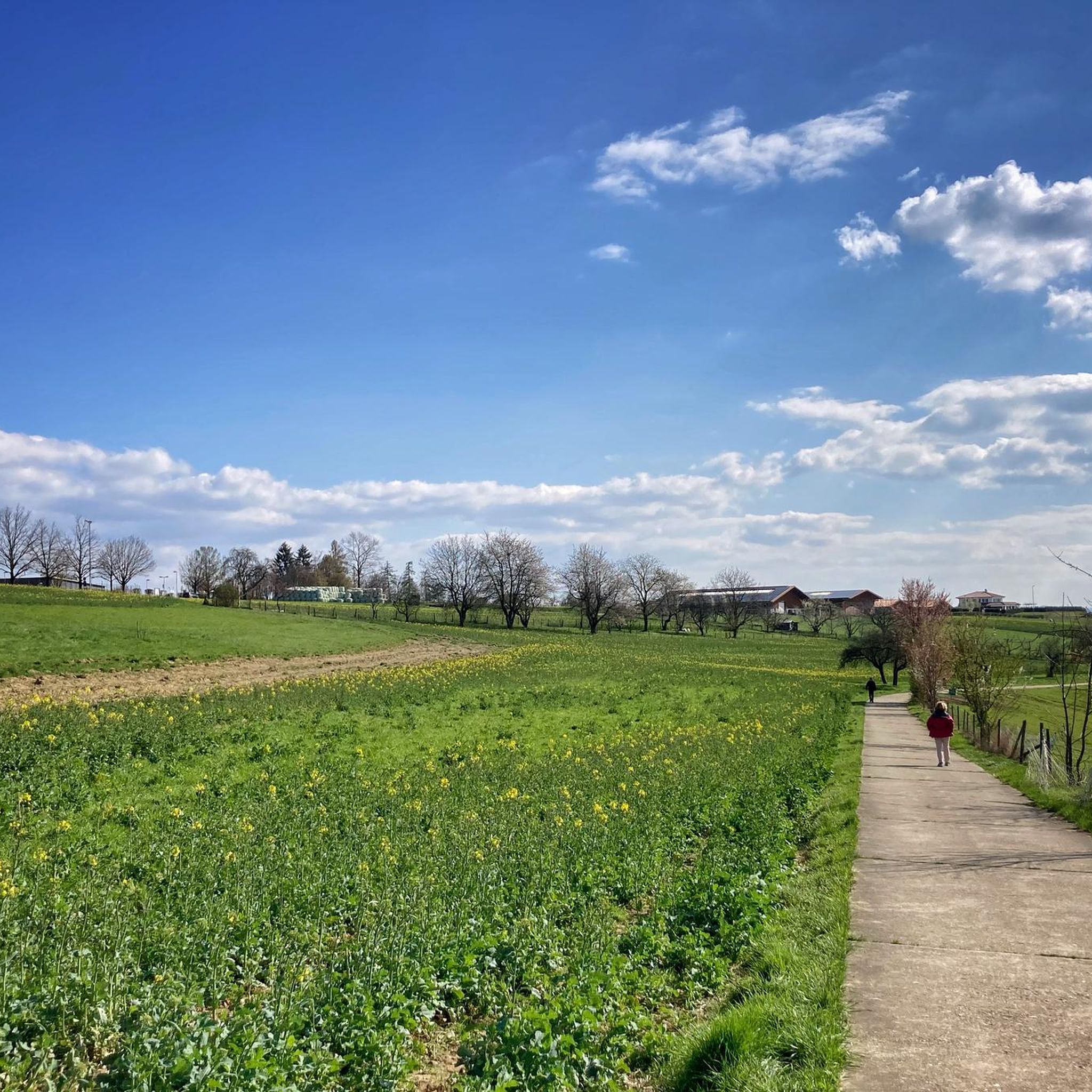
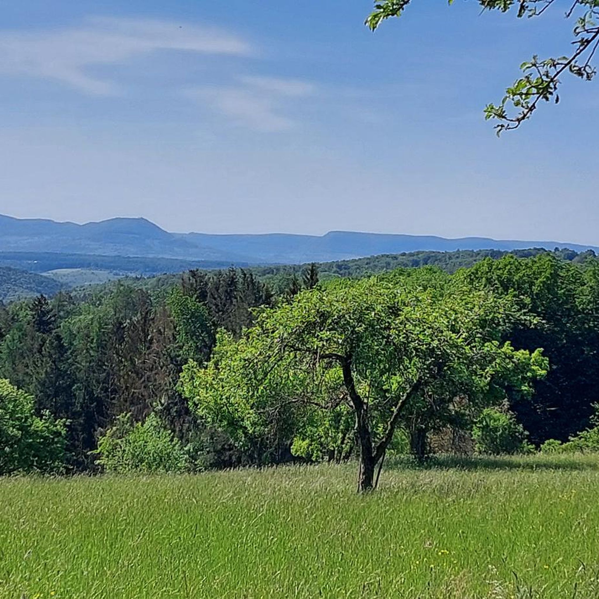
Jogging in Mittlerer Schurwald offers varied terrain within a wooded low mountain range situated between the Neckar and Rems valleys. This landscape protection area features "Schurwaldhöhen" (Schurwald heights), providing extensive views of the Swabian Alb and the Fils Valley. The region's geological makeup includes clay, marl, and sandstone, with numerous streams and the Herrenbach Reservoir contributing to diverse natural environments. Joggers can experience both challenging elevation gains and tranquil waterside routes across this dissected cuesta.
Best jogging routes in Mittlerer…
Last updated: July 4, 2026
121
runners
Hard run. Very good fitness required. Mostly paved surfaces. Suitable for all skill levels.
4.0
(1)
29
runners
10.6km
01:08
190m
190m
Moderate run. Good fitness required. Mostly paved surfaces. Suitable for all skill levels.

Sign up for free
4.2
(12)
84
runners
13.6km
01:25
100m
100m
Moderate run. Good fitness required. Mostly paved surfaces. Suitable for all skill levels.
5.0
(2)
46
runners
Moderate run. Good fitness required. Mostly paved surfaces. Suitable for all skill levels.
23
runners
22.7km
02:28
340m
340m
Hard run. Very good fitness required. Mostly paved surfaces. Suitable for all skill levels.
Get access to more routes and recommendations from other explorers.
Sign up for free
Already have an account?
Our route recommendations are based on thousands of hikes, rides, and runs completed by other people on komoot.
Start today with a free account
Your next adventure awaits.
Login or Signup

Tips from the Community

Art meets landscape: Along the cultural trail, there are several mosaic sculptures that break up the path and invite you to pause and reflect.
0
0

Beautifully crafted sculptures covered with delicate mosaics along the high-altitude trail.
0
0
A beautifully restored collection of old houses. It feels like stepping back 400 years.
0
0
The last remains of the royal hunting lodge.
1
0

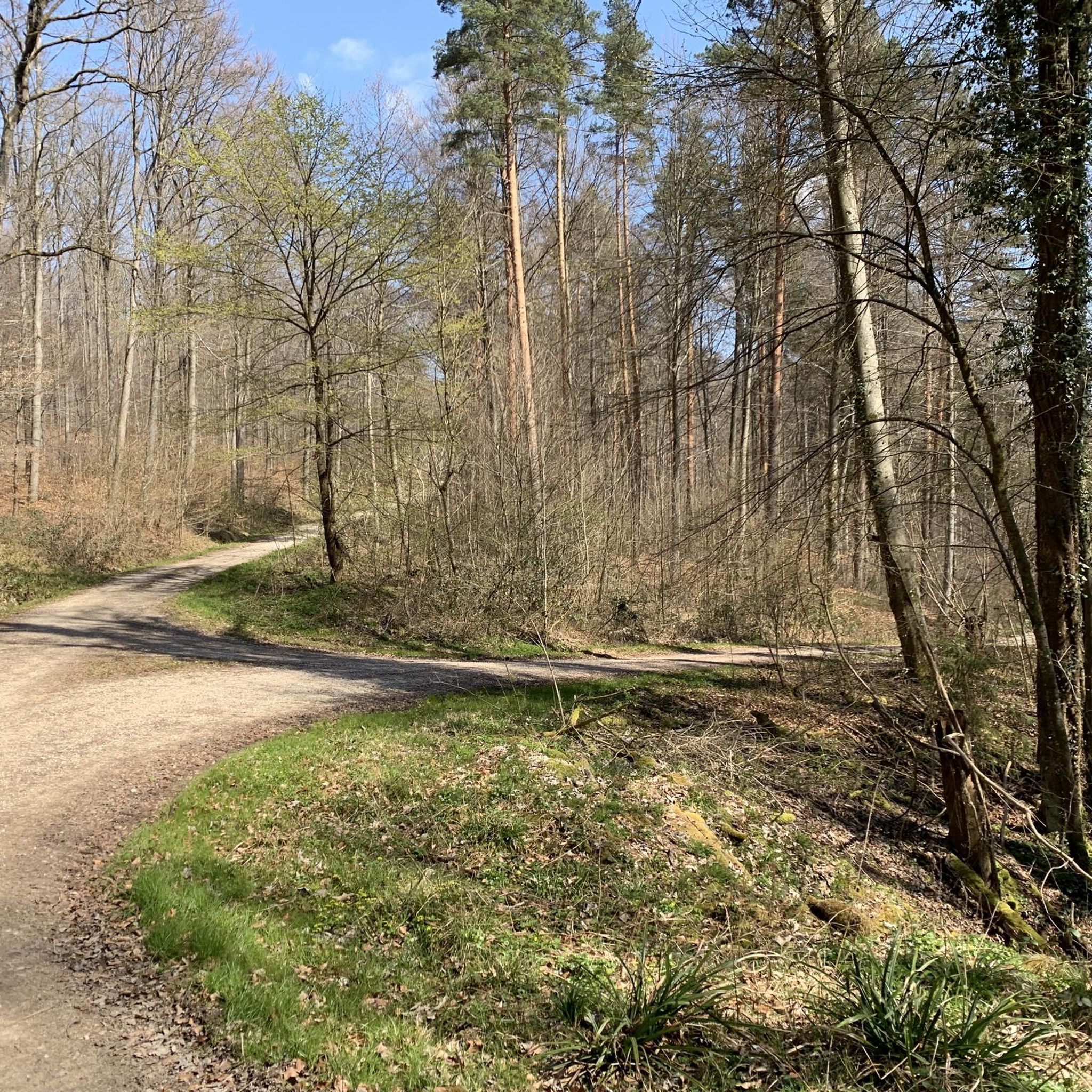
Beautiful root trail that runs idyllically between Büchenbronn and Thomashardt.
0
0

A very stately building in the middle of the forest valley.
3
0
In the upper section it is the Katzenbach, further down the Reichenbach which flows beautifully into the valley.
3
0

The Bannmühle is one of the two mills in the Katzenbachtal. Very well maintained.
0
0
Frequently Asked Questions
What kind of terrain can I expect on the running routes in Mittlerer Schurwald?
Mittlerer Schurwald is characterized by its "Schurwaldhöhen" (Schurwald heights), a wooded low mountain range. You'll find varied terrain, including clay, marl, and sandstone, with numerous streams and the Herrenbach Reservoir. Routes can range from predominantly paved or well-maintained paths to more challenging trails with significant elevation gains, offering extensive views of the Swabian Alb and the Fils Valley.
Are there any long-distance running trails in Mittlerer Schurwald?
Yes, for those seeking a longer challenge, there are routes like the Hiking car park Am Schrägweg – Bannmühle Reichenbachtal loop from Lichtenwald, which spans over 42 kilometers with considerable elevation. Another option is the Bannmühle Reichenbachtal loop from Lichtenwald, covering about 22.7 kilometers.
What are some interesting sights or landmarks I might encounter while jogging?
Beyond the natural beauty, routes often pass by historical elements such as the Bannmühle Reichenbachtal and other old mills. You might also discover unique natural features like the Holderstein Rock Formation and Waterfall or the Old Stone Bridge over the Reichenbach. Some trails even lead to artistic installations, like a Gaudí-style artist's house mentioned in regional research.
How many running routes are available in Mittlerer Schurwald?
There are 12 dedicated running routes available in Mittlerer Schurwald. These include 9 moderate routes and 3 more difficult options, catering to various fitness levels.
Are there any circular running routes in the region?
Yes, many of the routes in Mittlerer Schurwald are designed as loops, offering convenient circular runs. Examples include the Running loop from Lichtenwald and the Königseiche Trail – Drip Tower Lichtenwald loop from Lichtenwald.
What do other runners think about the trails in Mittlerer Schurwald?
The running routes in Mittlerer Schurwald are highly regarded by the komoot community, holding an average rating of 4.7 out of 5 stars from over 17 reviews. Runners frequently praise the varied terrain, extensive woodlands, and scenic views.
Are there any family-friendly running trails suitable for all ages?
While specific 'family-friendly' designations aren't always explicit for running, many of the moderate, shorter loop trails with well-maintained paths would be suitable for families looking for an enjoyable outdoor activity. The varied landscape ensures there's something for everyone.
What are the best times of year to go jogging in Mittlerer Schurwald?
Mittlerer Schurwald offers beautiful scenery year-round. Spring and autumn provide pleasant temperatures and vibrant colors, while summer is ideal for early morning or late evening runs. Even in winter, the wooded trails can be picturesque, though conditions may vary, so checking local forecasts is always advisable.
Are there any running routes with good viewpoints?
Absolutely. The region's "Schurwaldhöhen" (Schurwald heights) provide extensive views of the Swabian Alb and the Fils Valley. Many routes are designed to take advantage of these elevated positions, offering picturesque backdrops to your run.
Can I bring my dog on the running trails in Mittlerer Schurwald?
Mittlerer Schurwald is a landscape protection area, and generally, dogs are welcome on trails when kept on a leash. It's always a good idea to be mindful of wildlife and other trail users. Specific regulations for the landscape protection area should be observed.
Are there any challenging running routes for experienced runners?
Yes, for experienced runners seeking a challenge, Mittlerer Schurwald offers routes with significant elevation gains and longer distances. The Hiking car park Am Schrägweg – Bannmühle Reichenbachtal loop from Lichtenwald, for instance, is classified as difficult and covers over 42 kilometers with more than 700 meters of ascent.
Where can I find parking near the running trailheads?
Parking is generally available near trailheads in the various towns and villages surrounding Mittlerer Schurwald, such as Lichtenwald, Baltmannsweiler, Reichenbach an der Fils, and Aichwald. Specific parking information is often provided on individual route descriptions on komoot.
Most popular routes in Mittlerer Schurwald
Most popular attractions in Mittlerer Schurwald

Get inspired with the komoot mobile app


Explore more
Browse the best Running Trails & Routes in other regions.
