The best road cycling routes around Hohenfels-Essingen
4.5
(272)
2,817
riders
207
rides
Road cycling routes around Hohenfels-Essingen traverse the unique volcanic landscapes of the Vulkaneifel region in Germany. The area features a diverse terrain of rolling hills, river valleys, and plateaus, shaped by ancient volcanic activity. Cyclists encounter varied elevations, including significant hills like the Feuerberg and Mühlenberg, which provide both challenging climbs and scenic descents. This region offers a well-developed network of cycle paths that showcase its distinctive geological formations and natural beauty.
Best road cycling routes around Hohenfels-Essingen
- The most…
Last updated: October 13, 2026
4.5
(6)
68
riders
46.6km
02:22
670m
670m
Moderate road ride. Good fitness required. Mostly well-paved surfaces and easy to ride.
4.2
(89)
91
riders
47.5km
02:06
300m
300m
Moderate road ride. Good fitness required. Mostly well-paved surfaces and easy to ride.

5.0
(2)
13
riders
82.5km
03:52
1,040m
1,040m
Hard road ride. Very good fitness required. Some segments of this route may be unpaved and difficult to ride.
3.0
(1)
17
riders
47.4km
02:21
530m
530m
Moderate road ride. Good fitness required. Some segments of this route may be unpaved and difficult to ride.
11
riders
66.8km
03:21
1,020m
1,020m
Hard road ride. Very good fitness required. Mostly well-paved surfaces and easy to ride.
Get access to more routes and recommendations from other explorers.
Already have an account?
Our route recommendations are based on thousands of hikes, rides, and runs completed by other people on komoot.
Start today with a free account
Your next adventure awaits.
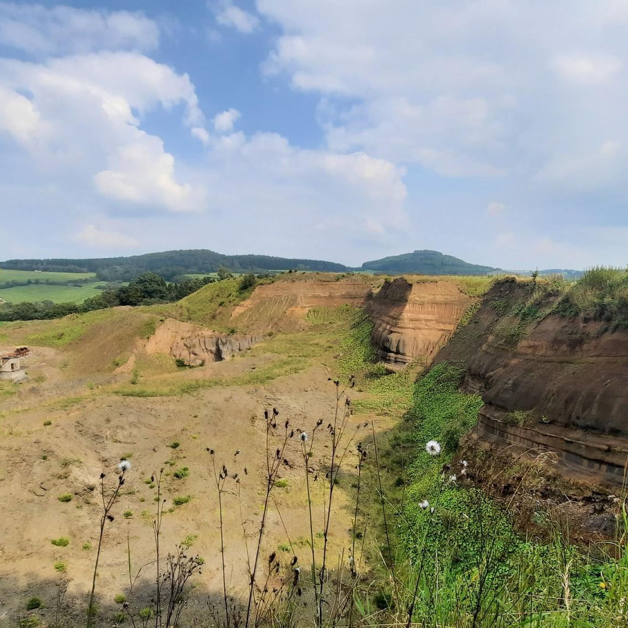
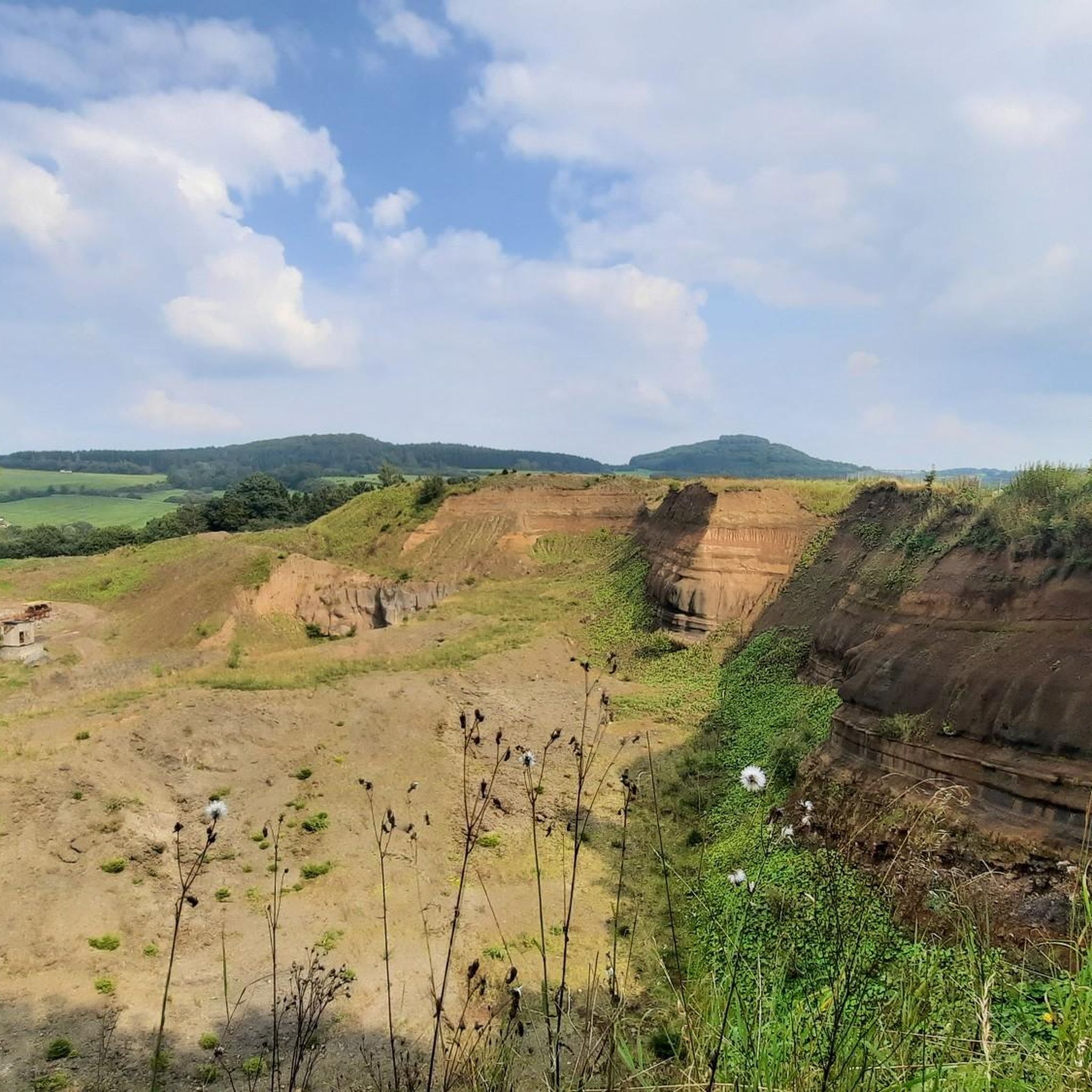
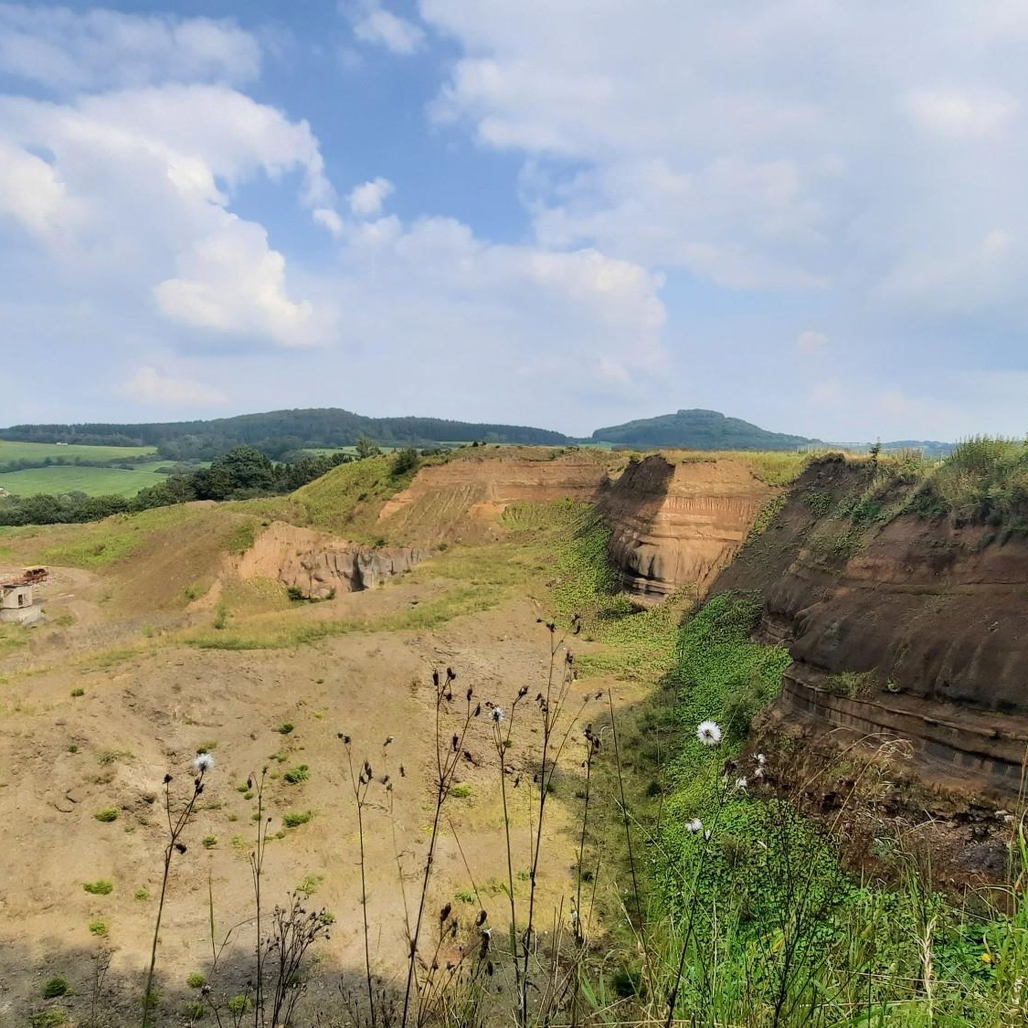
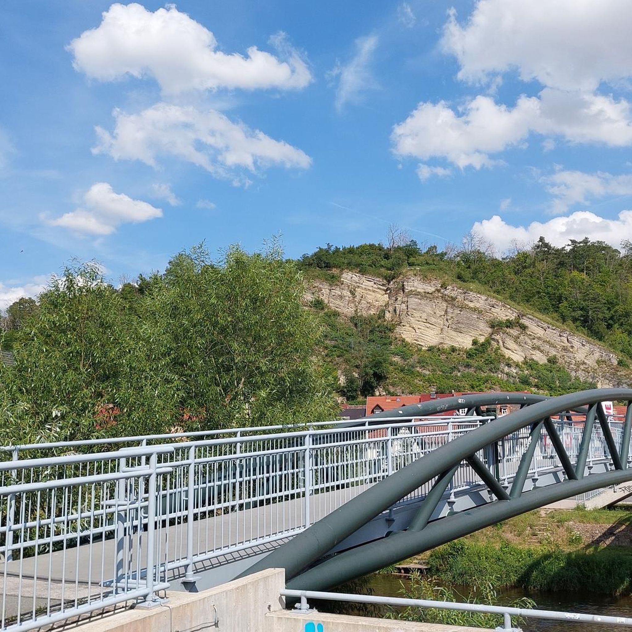
Tips from the Community

As so often, this former monastery is also represented multiple times in the komoot system, for the original see =>> https://www.komoot.com/de-de/highlight/834765
1
0

Southernmost station of the Kronenburger Art Trail KUNSTamWEG, Station 30.
0
0


Perfect asphalt and moderate incline :) perfect for performance testing!
0
0

Good and quiet cycle path along the beautiful river Kyll. It is almost flat here so there is not much to climb, but you can cycle nicely.
1
0

Kronenburg Open-Air Gallery
1
0

Delicious cakes, friendly service, and a cozy courtyard with many different corners and seating areas—worth a stop anytime!
0
0
Frequently Asked Questions
How many road cycling routes are available around Hohenfels-Essingen?
There are over 200 road cycling routes in the Hohenfels-Essingen area, catering to various skill levels. You'll find a good mix of moderate and difficult routes, with a few easier options as well.
What kind of terrain can I expect on road cycling routes in Hohenfels-Essingen?
The terrain around Hohenfels-Essingen is characterized by the unique volcanic landscapes of the Vulkaneifel. Expect a diverse mix of rolling hills, river valleys, and plateaus. Routes often feature significant elevation changes, including climbs up hills like the Feuerberg and Mühlenberg, alongside scenic descents.
Are there challenging road cycling routes with significant climbs?
Yes, the Vulkaneifel region is known for its challenging routes. Many feature intensive climbs and significant elevation changes, perfect for ambitious recreational athletes. For instance, the route Prüm Abbey and the Basilica – Kasselburg loop from Pelm is a difficult 82.2 km ride with over 1,000 meters of elevation gain.
Are there easier road cycling options for beginners or families?
While many routes offer challenges, there are also easier options. The region boasts a well-developed network of cycle paths, some of which are on well-developed, paved paths often away from heavy traffic. Look for routes categorized as 'easy' or 'moderate' on komoot, which typically have less elevation gain.
What natural features or attractions can I see along the road cycling routes?
Road cycling routes in Hohenfels-Essingen often showcase the region's unique volcanic formations and natural beauty. You might encounter extinct volcanic cones, the impressive Millstone Cave at Nerother Kopf, or enjoy views of the Bolsdorfer Valley. The wider Vulkaneifel is also famous for its maars (crater lakes) like the Gemündener Maar, which can be admired from scenic viewpoints.
Are there any scenic viewpoints on the road cycling routes?
Absolutely. Many routes in the Vulkaneifel, including those near Hohenfels-Essingen, offer fabulous panoramic views over the volcanic landscape. You might catch sights like the View of Gerolstein from the Munterley or the Dietzenley Observation Tower, providing expansive vistas.
Where can I find parking for road cycling routes in Hohenfels-Essingen?
Specific parking information for individual trailheads is often detailed within each komoot Tour. Generally, you can find parking in and around Hohenfels-Essingen or in nearby towns like Pelm, which serves as a common starting point for many routes. Always check the Tour details for recommended parking spots.
Is it possible to reach road cycling trailheads by public transport?
Public transport options in the Vulkaneifel region can vary. While some larger towns might have train stations or bus connections, direct access to all trailheads by public transport might be limited. It's advisable to check local bus schedules or train connections to nearby towns and plan your route accordingly, potentially combining with a short ride to the starting point.
Are there circular road cycling routes available?
Yes, many of the road cycling routes around Hohenfels-Essingen are designed as loops, allowing you to start and end at the same point. For example, the Niederehe Monastery – Kerpen Castle loop from Pelm is a popular circular route that takes you through varied landscapes.
Are there places to stop for food or drinks along the routes?
The Vulkaneifel region has charming Eifel villages and towns along its routes where you can find cafes, pubs, and restaurants. Many routes pass through these settlements, offering opportunities for a break and refreshment. It's always a good idea to check the route details on komoot for specific points of interest or towns along your chosen path.
What do other road cyclists enjoy most about road cycling in Hohenfels-Essingen?
The road cycling experience in Hohenfels-Essingen is highly rated by the komoot community, with an average score of 4.5 stars from over 200 reviews. Cyclists often praise the diverse volcanic landscapes, the well-developed network of cycle paths, and the mix of challenging climbs and scenic views that the region offers.
What is the best time of year for road cycling in Hohenfels-Essingen?
The Vulkaneifel region is generally pleasant for road cycling from spring through autumn. Spring offers blooming landscapes, while summer provides warmer weather. Autumn brings beautiful foliage. Always check local weather conditions before heading out, as the Eifel weather can be variable.
Most popular routes around Hohenfels-Essingen
Most popular attractions around Hohenfels-Essingen

Get inspired with the komoot mobile app


Explore more
Browse the best Road cycling routes in other regions.
