The best walks and hikes in Lichtenauer Rheinniederung
4.5
(1273)
5,580
hikers
18
hikes
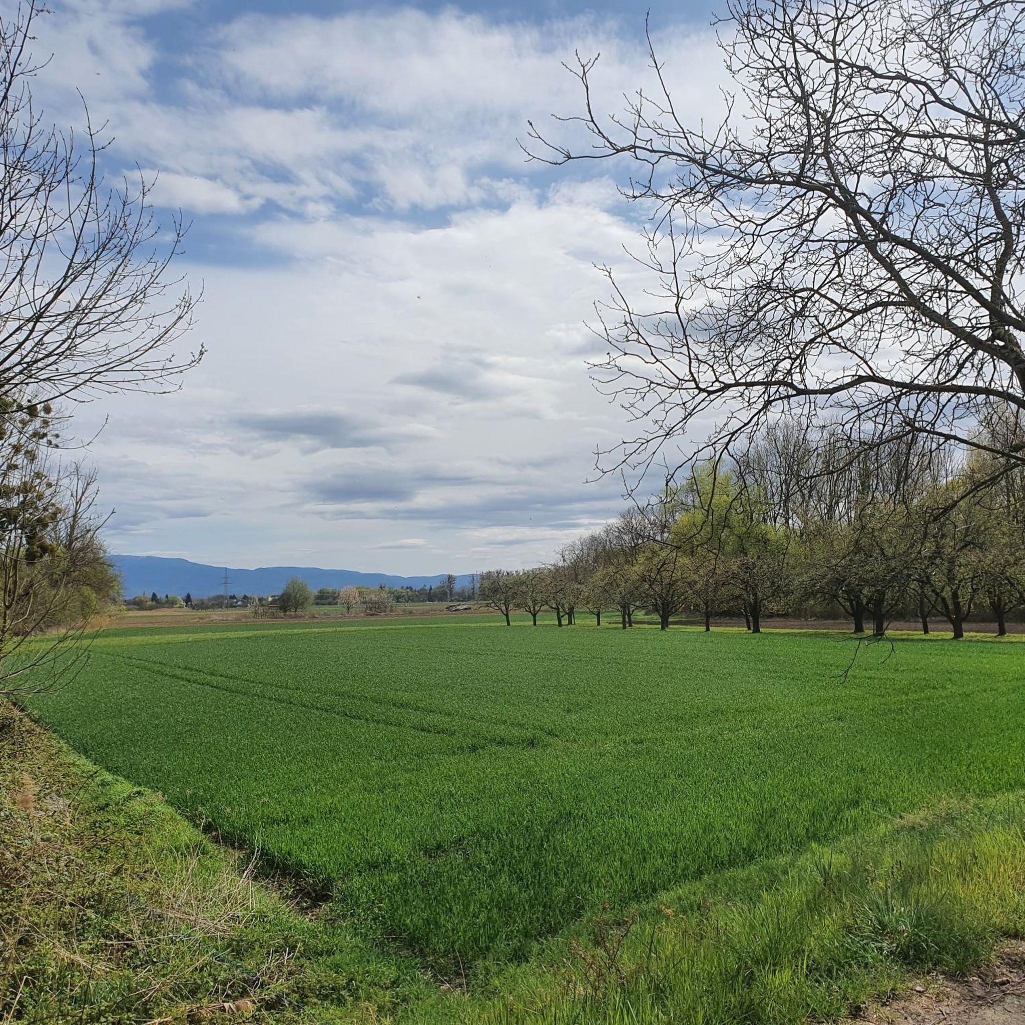
Hiking in Lichtenauer Rheinniederung explores the flat, riverine landscapes of the Rhine lowlands. The region is characterized by its low elevation gain, making most trails accessible. Hikers will find routes winding through forests, past small lakes, and along the natural features shaped by the Rhine. This area provides a tranquil setting for outdoor activities, focusing on natural scenery and gentle paths.
Best hiking trails in Lichtenauer Rheinniederung
- The most popular hiking route is Hiking loop from Offendorf Forest Nature Reserve…
Last updated: October 9, 2026
4.7
(46)
154
hikers
5.92km
01:30
20m
20m
Easy hike. Great for any fitness level. Easily-accessible paths. Suitable for all skill levels.
4.8
(45)
130
hikers
6.02km
01:32
10m
10m
Easy hike. Great for any fitness level. Easily-accessible paths. Suitable for all skill levels.

4.6
(5)
13
hikers
Easy hike. Great for any fitness level. Easily-accessible paths. Suitable for all skill levels.
5.0
(1)
8
hikers
2.78km
00:43
10m
10m
Easy hike. Great for any fitness level. Easily-accessible paths. Suitable for all skill levels.
4.8
(17)
5
hikers
7.02km
01:47
20m
20m
Easy hike. Great for any fitness level. Easily-accessible paths. Suitable for all skill levels.
Get access to more routes and recommendations from other explorers.
Already have an account?
Our route recommendations are based on thousands of hikes, rides, and runs completed by other people on komoot.
Start today with a free account
Your next adventure awaits.
Tips from the Community

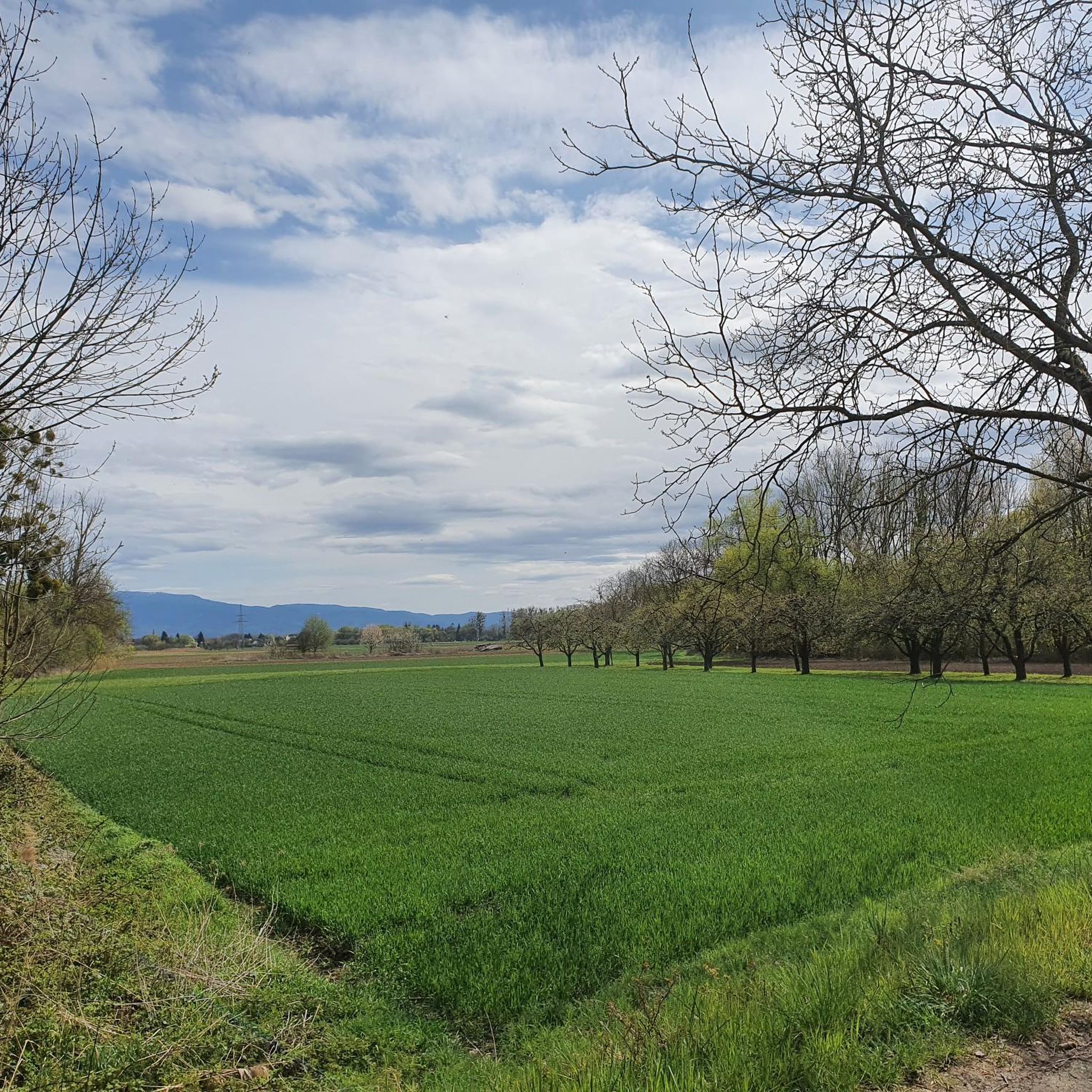
Did this tour again today. In summer, this route has a very special charm... so many different shades of green.... awesome 😉
1
0

Beautiful idyllic lake with great views
4
0

Watching little geese
4
0

Geese 🪿
4
0

Beautiful forest path that leads along the Old Rhine...
2
0
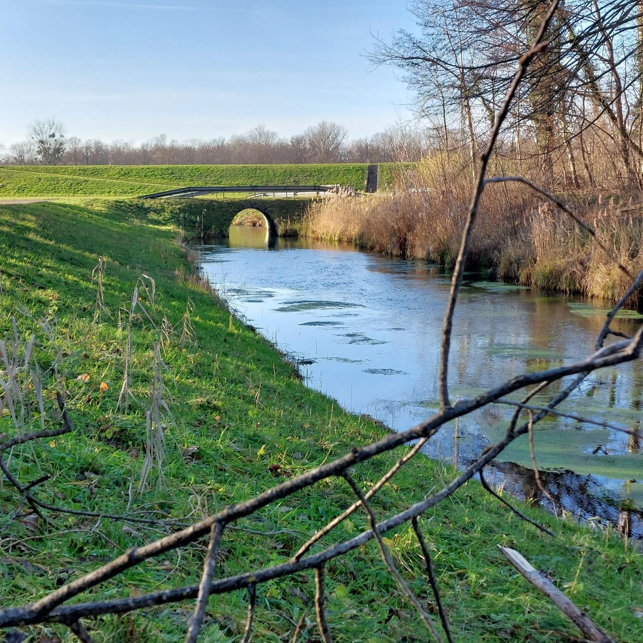
The path leads along the narrow canal the whole time... The water is wonderfully clear and you can therefore discover numerous details of the stream
2
0
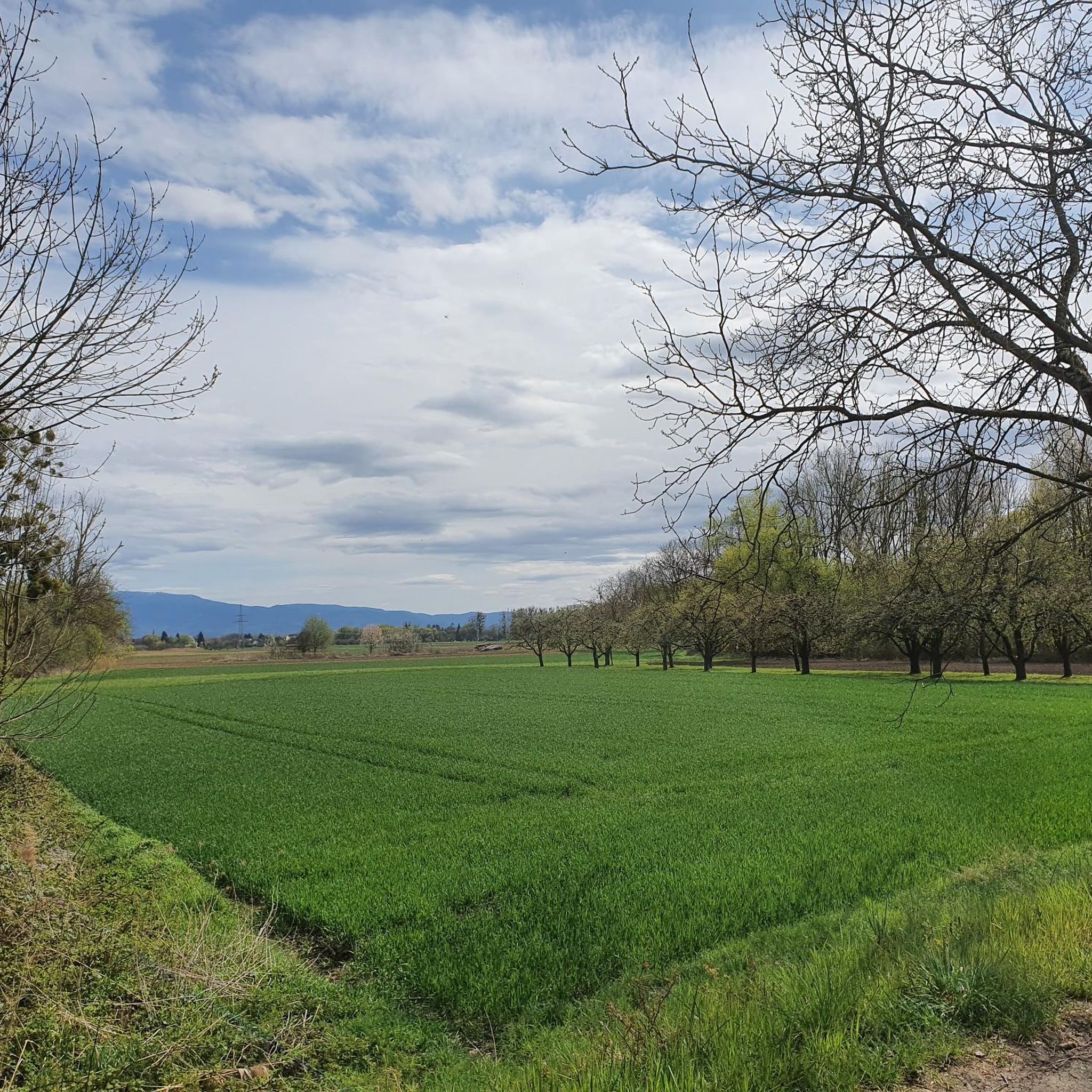
Especially during harvest time, it is worth taking a walk here... maybe you can try an apple
2
0
The idyllically situated quarry lake invites you to relax... You can observe numerous water birds...
2
0
Frequently Asked Questions
How many hiking trails are available in Lichtenauer Rheinniederung?
Lichtenauer Rheinniederung offers a selection of nearly 20 hiking routes. The vast majority of these, 18 out of 19, are classified as easy, making the area very accessible for various skill levels.
What makes the hiking trails in Lichtenauer Rheinniederung suitable for beginners?
The trails in Lichtenauer Rheinniederung are characterized by their flat, riverine landscape with minimal elevation gain. This makes them ideal for beginners or those seeking a gentle walk. Most routes are easy, providing a tranquil experience through forests and along small lakes.
Are there any circular hiking routes in Lichtenauer Rheinniederung?
Yes, many of the routes in Lichtenauer Rheinniederung are circular. For example, the Hiking loop from Lichtenau is a popular circular path that takes you through local lowlands and woodlands.
What kind of natural attractions can I expect to see along the trails?
The region is defined by its Rhine lowlands character. You can expect to see features like the Confluence of the Rench and the Rhine, the tranquil Riedsee Lichtenauer Rheinniederung, and the Suspension Bridge and Resting Benches at Altrheingraben. These natural and man-made features add interest to your hike.
Are the hiking trails in Lichtenauer Rheinniederung suitable for families with children?
Absolutely. Given the predominantly flat terrain and easy difficulty of most routes, Lichtenauer Rheinniederung is very family-friendly. The gentle paths through forests and past lakes provide a safe and enjoyable environment for children to explore.
Can I bring my dog on the hiking trails?
Yes, the natural and open character of Lichtenauer Rheinniederung makes it a great place for dog walking. Most trails are suitable for dogs, but always ensure your dog is kept under control, especially near wildlife or other hikers, and check for any local regulations regarding leash requirements.
What is the typical length of hiking trails in this region?
The trails in Lichtenauer Rheinniederung vary in length, but many popular routes are around 3.5 to 4.5 miles (5.5 to 7 km). For instance, the Hiking loop from Offendorf Forest Nature Reserve is about 3.7 miles (6.0 km), offering a good balance for a pleasant outing.
Are there any historical points of interest along the hiking routes?
Yes, some routes offer a glimpse into history. The Westwall Bunker Remains – Hasengartensee loop from Lichtenauer Rheinniederung combines natural lake views with historical points of interest, allowing you to explore remnants of the Westwall.
What do other hikers say about the trails in Lichtenauer Rheinniederung?
The komoot community rates the trails in Lichtenauer Rheinniederung highly, with an average score of 4.5 out of 5 stars from over 150 reviews. Hikers often praise the tranquil setting, the easy accessibility of the paths, and the beautiful natural scenery of the Rhine lowlands.
When is the best time of year to go hiking in Lichtenauer Rheinniederung?
The flat terrain of Lichtenauer Rheinniederung makes it enjoyable for hiking throughout much of the year. Spring and autumn offer pleasant temperatures and beautiful scenery with changing foliage or blooming nature. Summer is also suitable, though it can be warmer, and winter can provide a unique, quiet experience, especially on clear days.
Are there opportunities to see wildlife while hiking?
Given its riverine landscape, forests, and small lakes, Lichtenauer Rheinniederung offers opportunities for wildlife spotting. You might encounter various bird species, small mammals, and aquatic life, especially in quieter areas or near the water bodies. Maintaining a respectful distance and quiet observation will enhance your chances.
What are the parking options for hikers in Lichtenauer Rheinniederung?
Parking is generally available at common starting points for trails, particularly near villages like Lichtenau or Offendorf. Look for designated parking areas near trailheads or local amenities. Specific parking information is often detailed on individual route pages on komoot.
Are there any shorter, easy walks for a quick outing?
Yes, if you're looking for a shorter, easy walk, the Techno Lake loop from Lichtenau is a great option. It's an easy route covering about 1.7 miles (2.8 km), perfect for a quick stroll around the lake.
Most popular routes in Lichtenauer Rheinniederung
Most popular attractions in Lichtenauer Rheinniederung

Get inspired with the komoot mobile app


Explore more
Browse the best Hikes in other regions.
