The best walks and hikes in Stollhofener Platte
4.5
(2518)
11,305
hikers
658
hikes
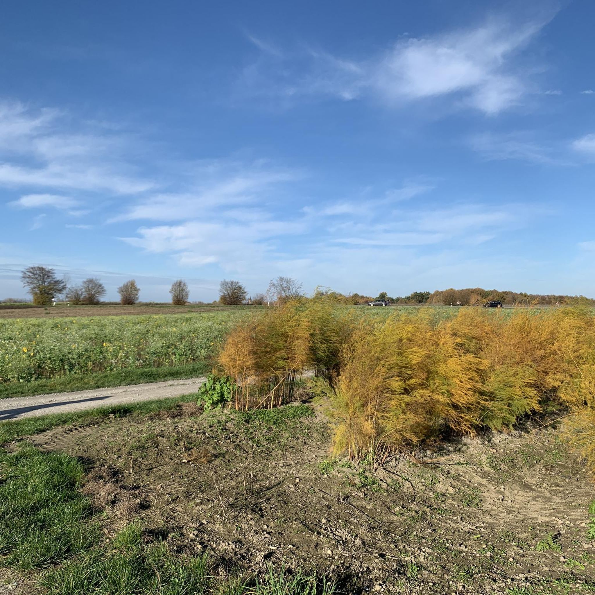
Hiking trails in Stollhofener Platte traverse a largely forested low-terrace plain in Baden-Württemberg, Germany. The region is characterized by its predominantly flat terrain, with gentle rises to the east and north, and features unique dune formations up to 21 meters high in the north. Erosional channels and a network of waterways, including the Sandbach river and artificial canals, add subtle variations to the landscape. A significant portion is a nature reserve, offering unique biotope complexes like sand grasslands and heather…
Last updated: July 8, 2026
4.6
(5)
40
hikers
Easy hike. Great for any fitness level. Easily-accessible paths. Suitable for all skill levels.
5.0
(2)
21
hikers
Easy hike. Great for any fitness level. Easily-accessible paths. Suitable for all skill levels.

Sign up for free
4.9
(14)
60
hikers
Easy hike. Great for any fitness level. Easily-accessible paths. Suitable for all skill levels.
7
hikers
Easy hike. Great for any fitness level. Easily-accessible paths. Suitable for all skill levels.
5.0
(1)
6
hikers
Easy hike. Great for any fitness level. Easily-accessible paths. Suitable for all skill levels.
Get access to more routes and recommendations from other explorers.
Sign up for free
Already have an account?
Our route recommendations are based on thousands of hikes, rides, and runs completed by other people on komoot.
Start today with a free account
Your next adventure awaits.
Login or Signup
Tips from the Community

Apparently, there used to be a Canadian air squadron there. As a farewell, they donated the Starfighter to the city, which is now on display there.
0
1

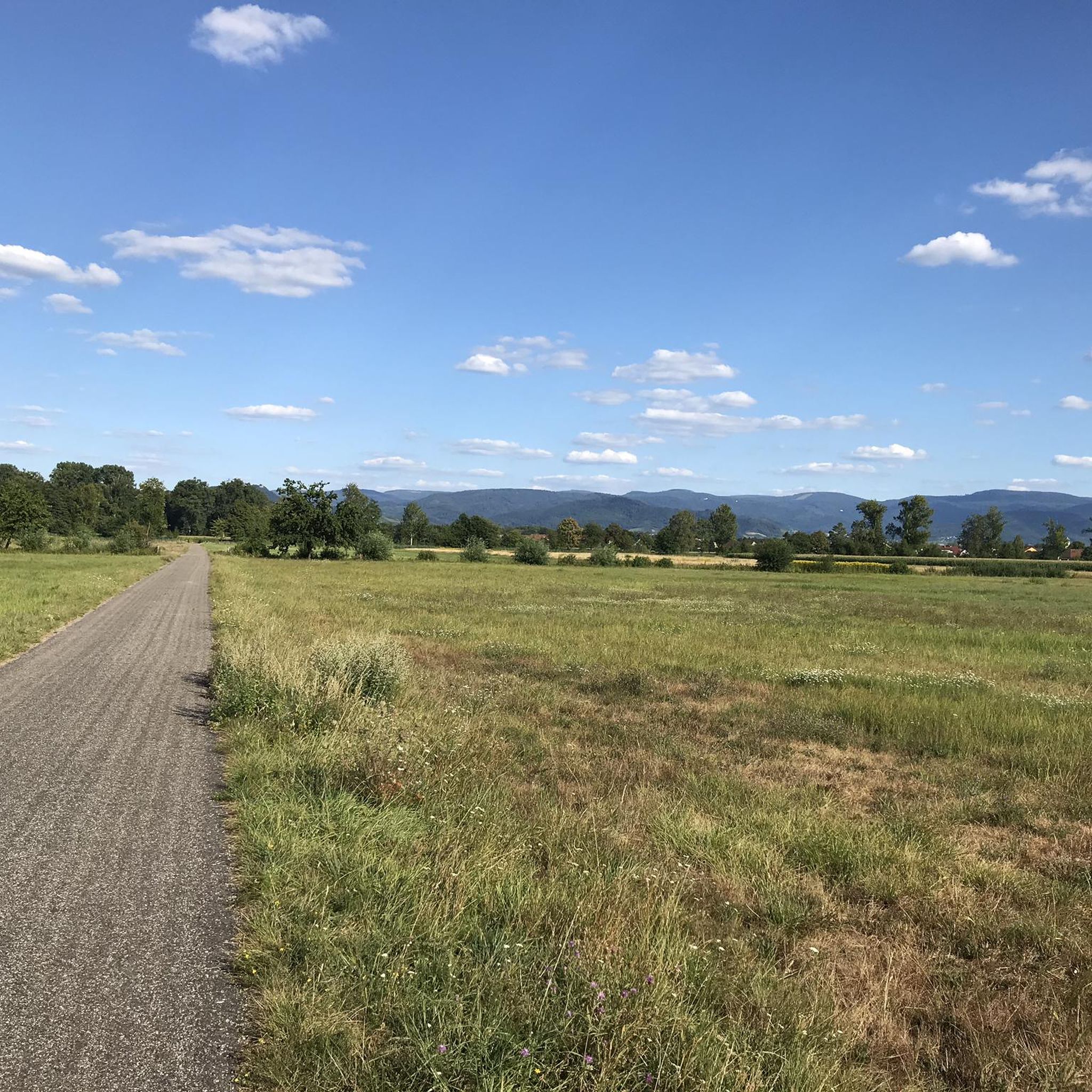
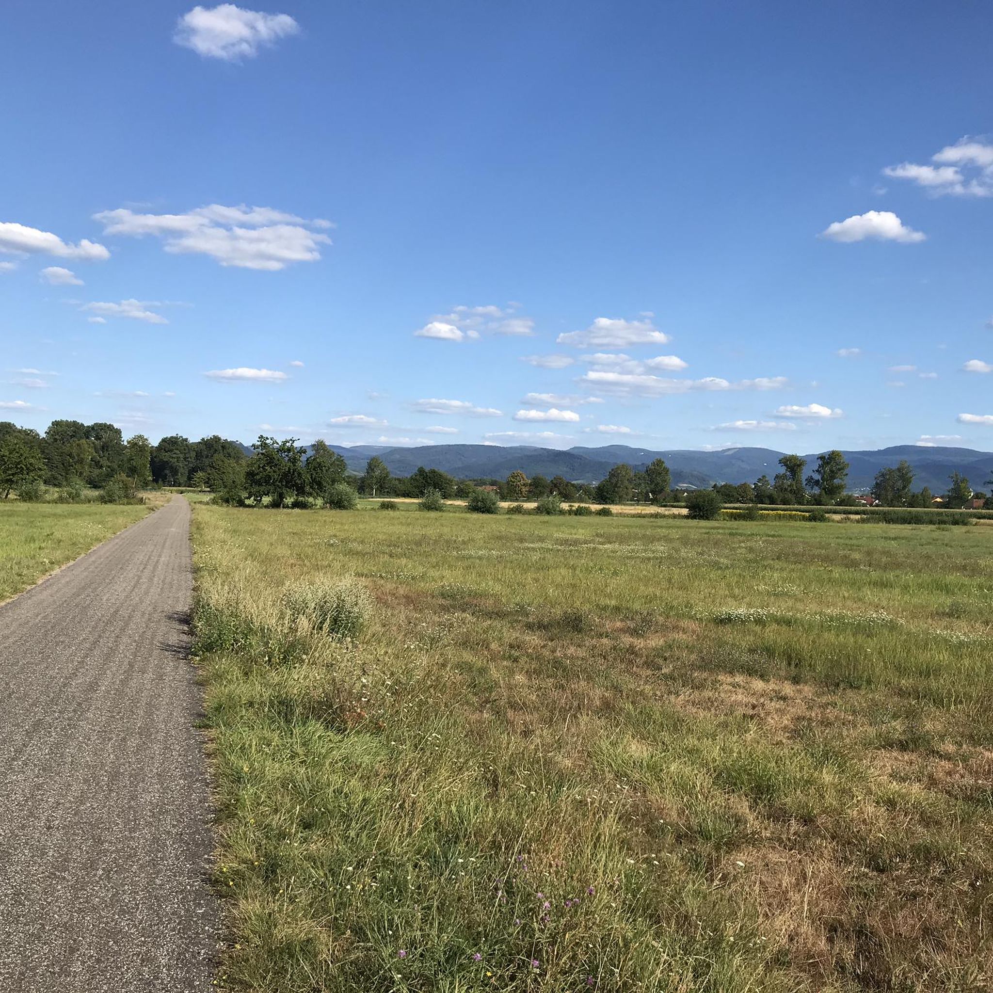
Nature, water, tranquility, hiking on flat paths
0
0

It's a huge campsite. It's said to be one of the most beautiful in all of Germany.
0
0
Looks really nice with the gravel pit in the background
0
0
Especially in spring when everything is green a particularly beautiful section
1
0

A beautifully situated tour with a small refreshment stop at the fishing club.
0
0

If you look from the German side of the Rhine towards France, you can see the Vosges in the distance
1
0

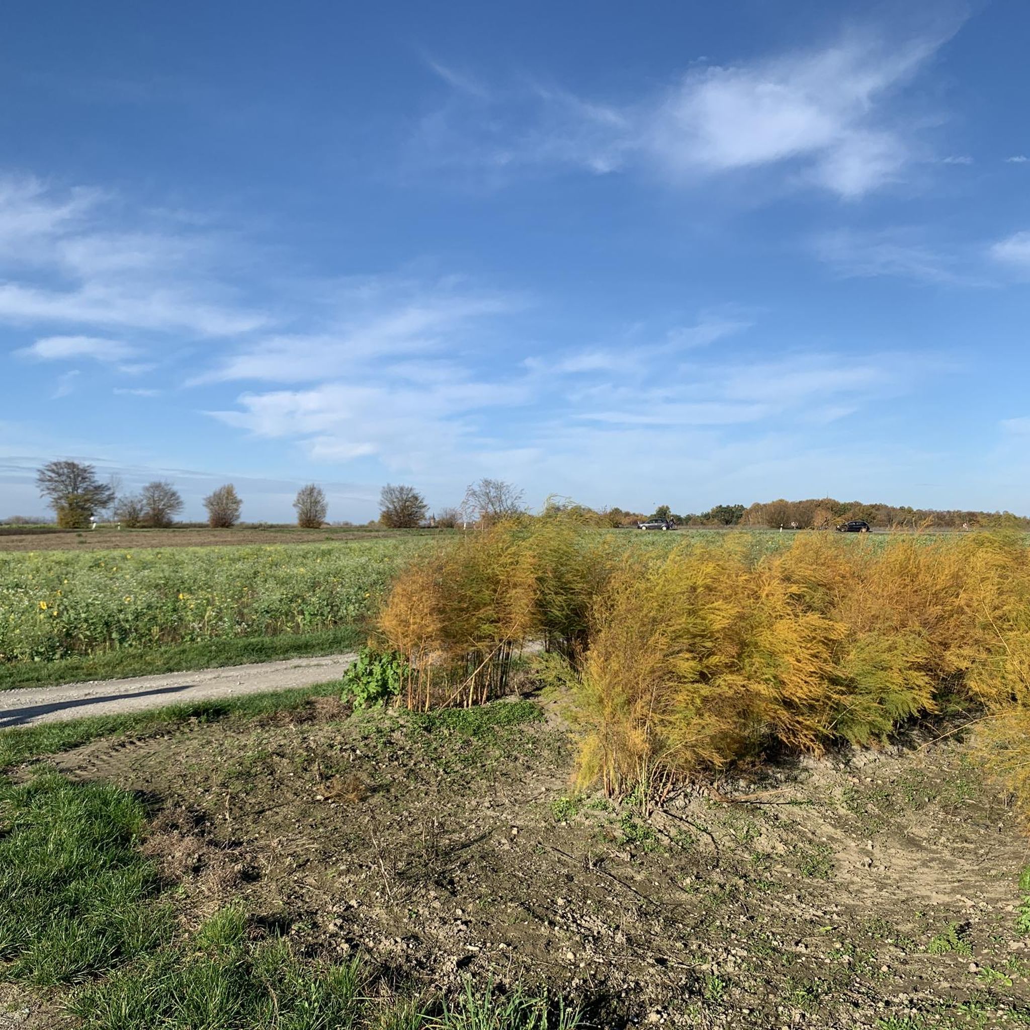
On this misty autumn morning, this area had a mystical feel.
1
0
Frequently Asked Questions
How many hiking trails are available in Stollhofener Platte?
There are over 600 hiking trails in Stollhofener Platte, offering a wide range of options for different fitness levels. You'll find many easy, flat paths, as well as more moderate routes.
What kind of terrain can I expect when hiking in Stollhofener Platte?
The Stollhofener Platte is primarily a largely forested, low-lying plain. While mostly flat, you'll encounter unique natural features such as up to 21-meter-high dunes in the north, remnants of overgrown dunes, and subtle erosional channels. The landscape is predominantly forested, with some artificial lakes formed from gravel pits.
Are there any unique natural features to observe in Stollhofener Platte?
Yes, a significant portion of the Stollhofener Platte is a nature reserve, known for its unique biotope complexes. These include silver grass flushes, sand grasslands, bent-grass meadows, and heather stands. These habitats support a specialized flora and fauna, including a high number of bee and wasp species, large butterflies, and other endangered insects, making it an excellent area for nature observation.
Are there any circular hiking routes in Stollhofener Platte?
Many of the trails in Stollhofener Platte are designed as circular routes. For example, you can explore the View of the Mountains loop from Airport Karlsruhe/Baden-Baden or the Canadian Starfighter Monument – Beautiful gravel section loop from Airport Karlsruhe/Baden-Baden, both offering pleasant round trips.
What are the difficulty levels of the hiking trails in Stollhofener Platte?
The trails cater to various abilities. You'll find over 420 easy routes, perfect for beginners or a relaxed stroll, often with minimal elevation changes. There are also nearly 190 moderate routes for those seeking a bit more challenge, and a few more demanding trails for experienced hikers.
Are there any family-friendly hiking options in Stollhofener Platte?
Yes, the Stollhofener Platte offers many easy and accessible trails that are suitable for families. The predominantly flat terrain and well-maintained paths make it ideal for walks with children. Look for routes with minimal elevation gain and shorter distances for a comfortable family outing.
Can I bring my dog on the hiking trails in Stollhofener Platte?
The Stollhofener Platte is generally dog-friendly, with many trails suitable for walking with your canine companion. However, as parts of the area are nature reserves, it's always recommended to keep dogs on a leash to protect the local wildlife and unique biotopes. Please observe any local signage regarding dog regulations.
What can I see along the hiking trails in Stollhofener Platte?
Beyond the natural beauty of the forests and dunes, you can discover several points of interest. Consider visiting the Lourdes Grotto Sinzheim-Schiftung, or the historical Soldiers' Grave at Stollhofener Platte. The Airport Perimeter Pathway near Hügelsheim also offers unique views.
What do other hikers enjoy most about Stollhofener Platte?
The area is highly rated by the komoot community, with an average score of 4.6 stars from over 2,100 reviews. Hikers often praise the quiet, extensive forests, the unique dune landscapes, and the diverse biotope complexes that make for a varied and engaging outdoor experience. The accessibility of many trails is also frequently highlighted.
Are there any places to eat or stay near the hiking trails?
While the Stollhofener Platte is primarily a natural area, you can find amenities nearby. For dining, the DaVinci Restaurant at Baden Airpark is an option. For accommodation, you'll find hotels and guesthouses in the surrounding towns and villages, such as those near Airport Karlsruhe/Baden-Baden.
Is public transport available to access the hiking trails?
The Stollhofener Platte is situated near the city of Baden-Baden and the Landkreis Rastatt, which are generally well-connected by public transport. Specific bus routes may serve areas closer to trailheads, particularly around the Airport Karlsruhe/Baden-Baden. It's advisable to check local bus schedules for the most convenient access points.
What is the best time of year to hike in Stollhofener Platte?
The Stollhofener Platte offers enjoyable hiking experiences throughout much of the year. Spring and autumn provide pleasant temperatures and beautiful scenery, with autumn showcasing vibrant forest colors. Summer is also popular, though some trails might be warmer. Winter hiking is possible, especially on the flatter paths, offering a serene, quiet experience.
Most popular routes in Stollhofener Platte
Most popular attractions in Stollhofener Platte

Get inspired with the komoot mobile app


Explore more
Browse the best Hikes in other regions.
