The best cycling routes in Rastatter Ried (Nsg)
4.5
(6239)
35,871
riders
801
rides
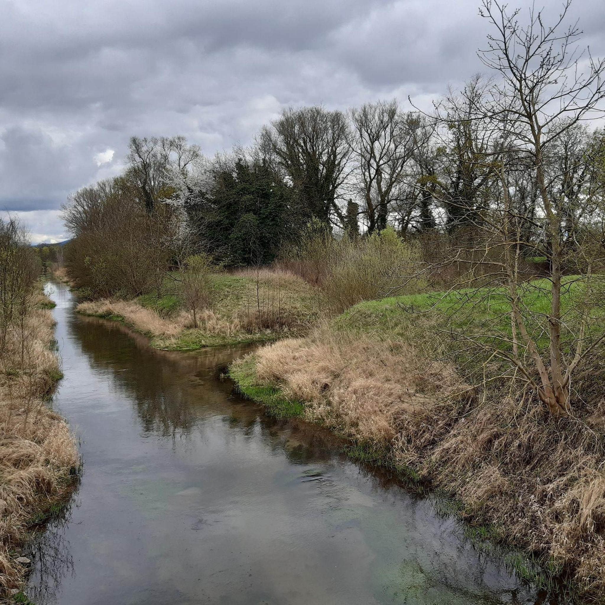
Touring cycling in Rastatter Ried (Nsg) offers routes through a landscape characterized by the Rhine floodplains, numerous canals, and flat terrain. This natural park region provides extensive paths suitable for cycling. The area is defined by its waterways and open fields, making it ideal for relaxed rides. Its low elevation gain ensures accessible cycling for various skill levels.
Best touring cycling routes in Rastatter Ried (Nsg)
- The most popular touring cycling route is New bridge over the industrial canal –…
Last updated: October 7, 2026
4.4
(38)
117
riders
Easy bike ride. Great for any fitness level. Mostly paved surfaces. Suitable for all skill levels.
4.4
(39)
295
riders
Hard bike ride. Good fitness required. You may need to push your bike for some segments of this route.

4.0
(11)
56
riders
Easy bike ride. Great for any fitness level. Mostly paved surfaces. Suitable for all skill levels.
4.5
(2)
52
riders
18.1km
01:06
30m
30m
Easy bike ride. Great for any fitness level. Mostly paved surfaces. Suitable for all skill levels.
3.8
(4)
35
riders
Easy bike ride. Great for any fitness level. Mostly paved surfaces. Suitable for all skill levels.
Get access to more routes and recommendations from other explorers.
Already have an account?
Our route recommendations are based on thousands of hikes, rides, and runs completed by other people on komoot.
Start today with a free account
Your next adventure awaits.
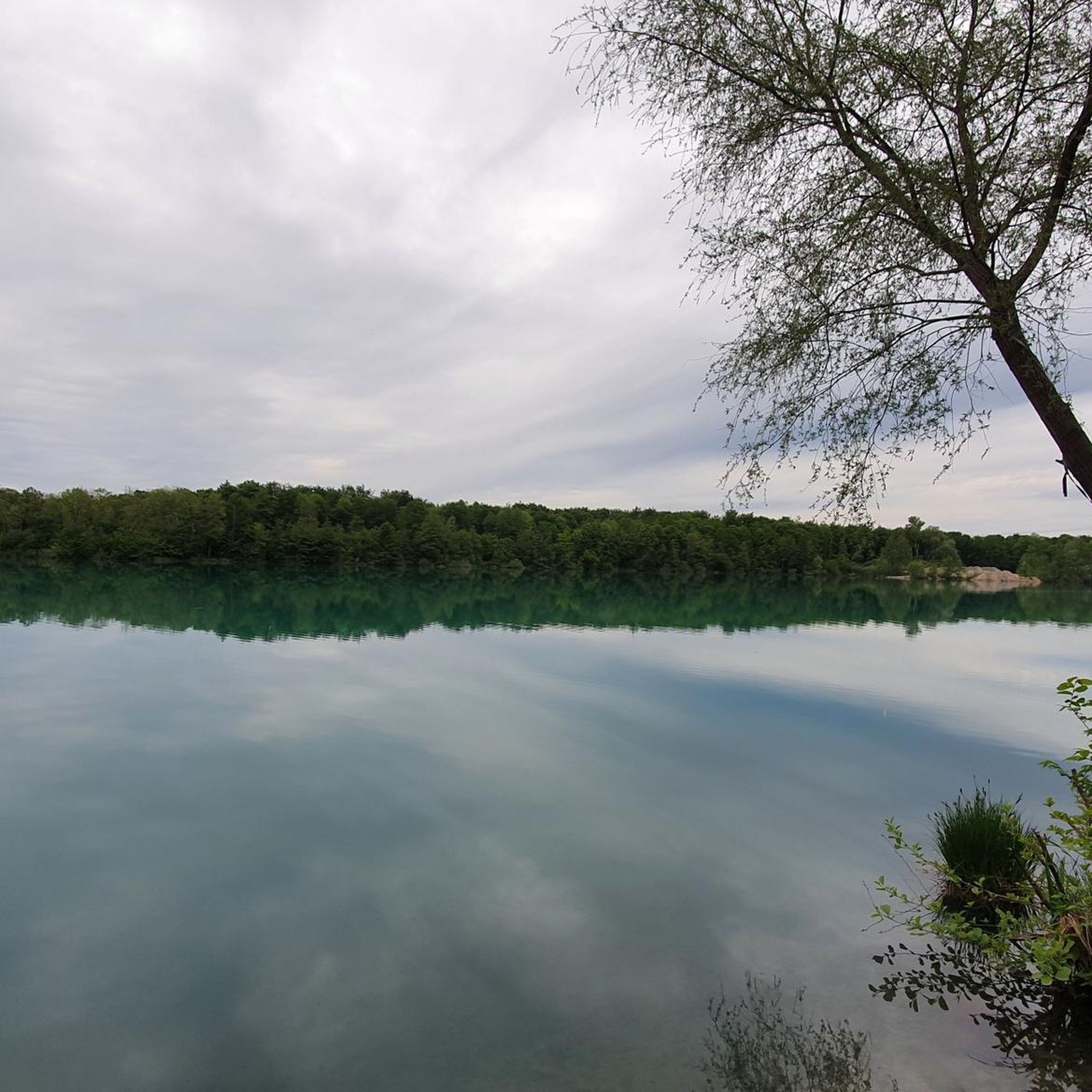
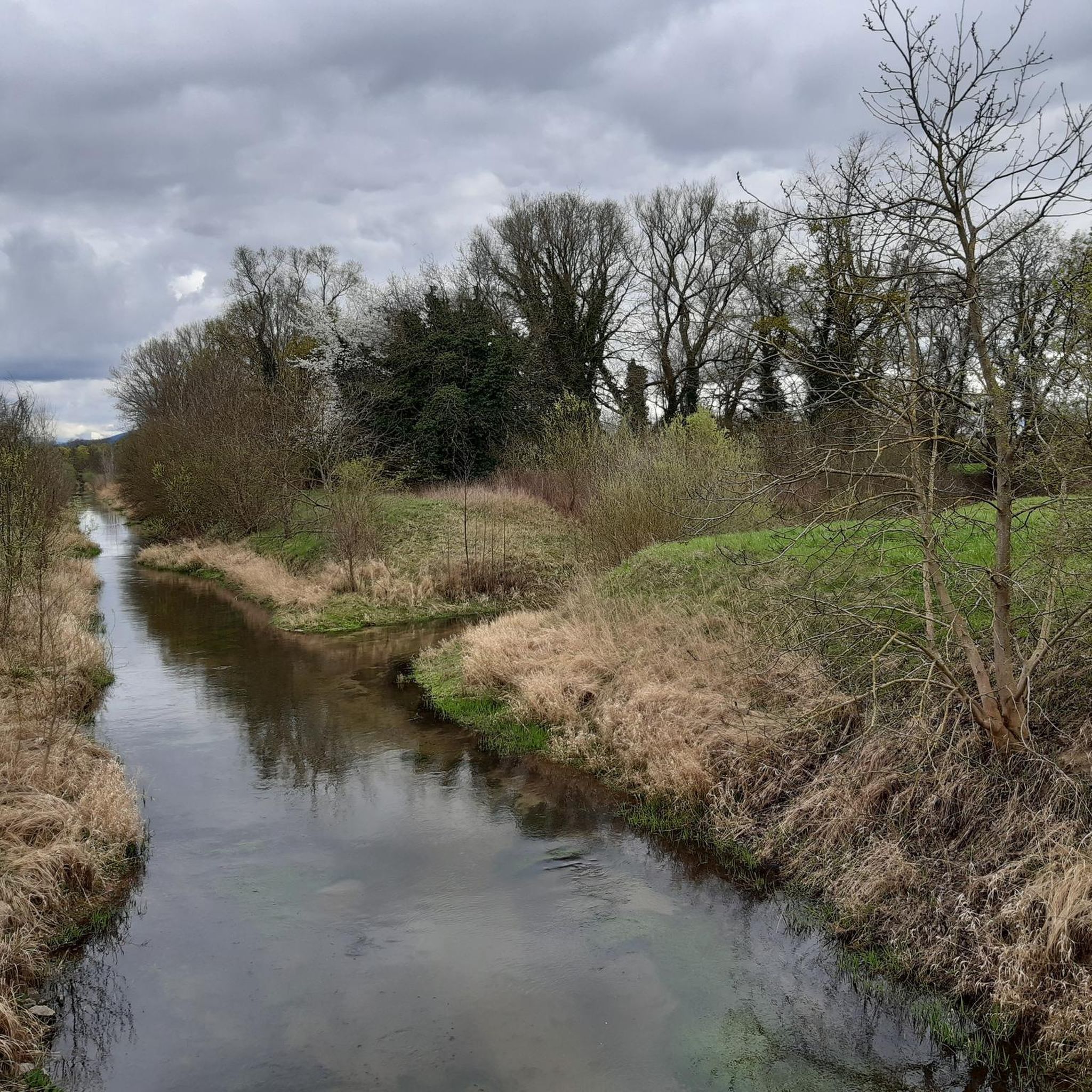
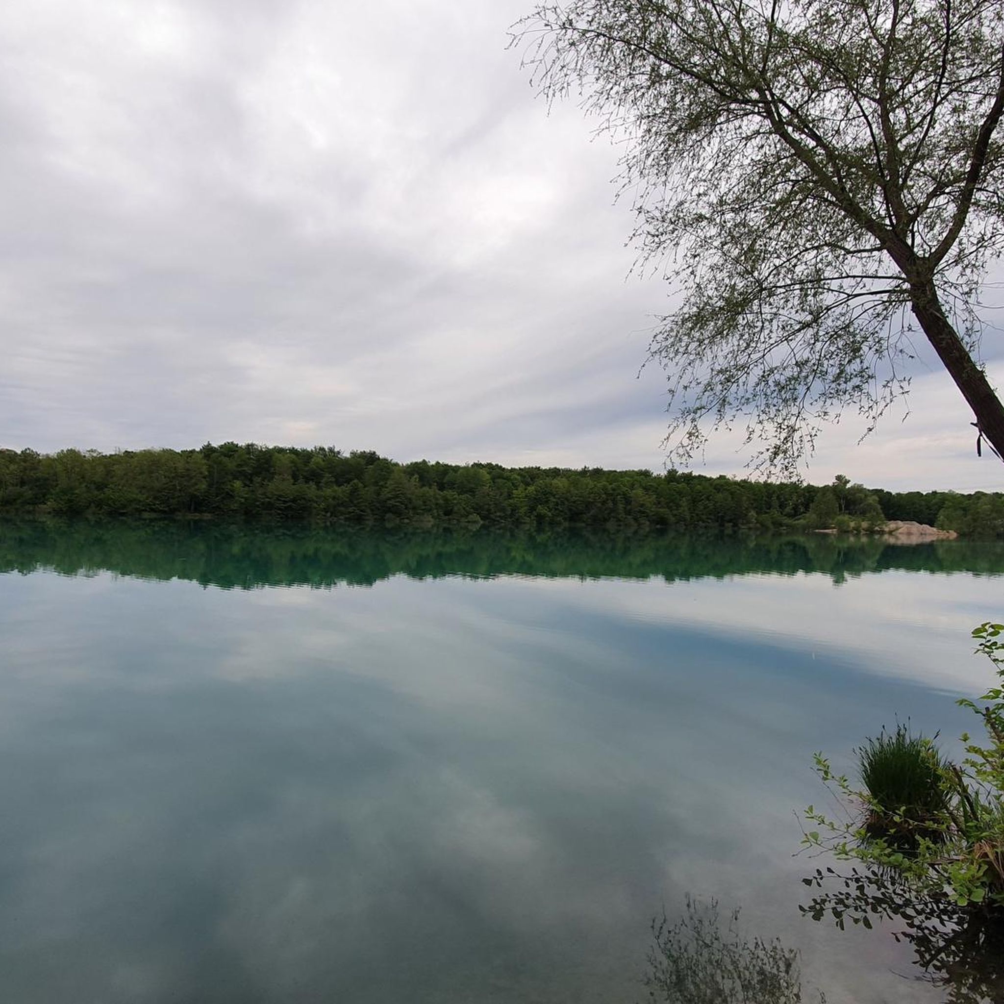
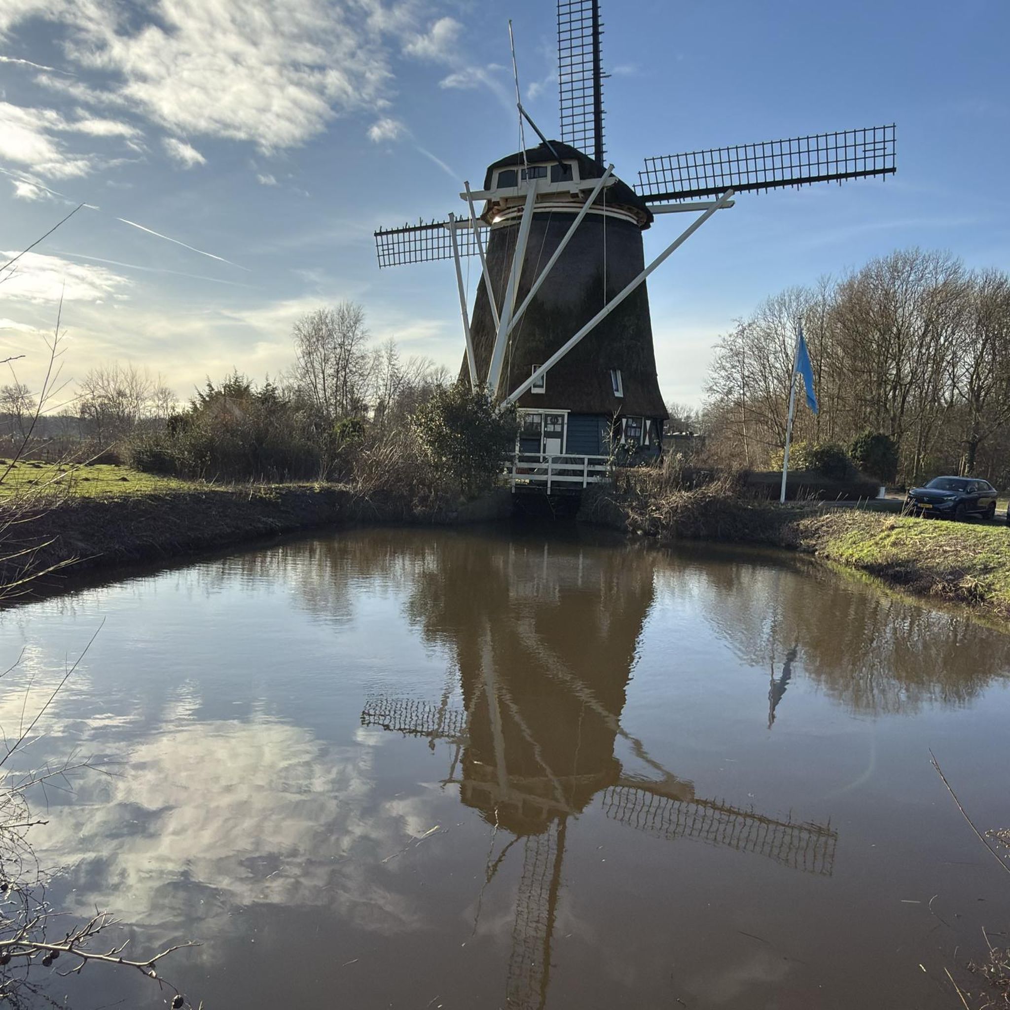
Tips from the Community

Beautiful avenue near the access to the castle.
4
0
The bridge itself is nothing special, the view over the Murg is very beautiful 🤩
4
0

View of the Rhine? And this, on the Rhine? Scandal!
4
0

The Altrhein near Plittersdorf is a former arm of the Rhine river, which was separated from the main stream by the straightening of the Rhine in the 19th century (also called Rheinbegradigung). Today, the Altrhein is a calm, mostly slow-flowing or stagnant body of water in the Rhine floodplain near Plittersdorf. It is surrounded by floodplain forests, meadows, and small water surfaces. This near-natural landscape offers an important habitat for many animal and plant species, such as birds like herons and swans, as well as various fish species. In the past, the Rhine flowed directly past Plittersdorf and often caused floods. The straightening changed the course of the river, and the Altrhein was preserved as a "remnant" of the old Rhine. Today, it has primarily ecological significance and also serves as a recreational area for people.
0
0
The Altrhein near Plittersdorf is a former arm of the Rhine river, which was separated from the main stream by the Rhine regulation in the 19th century (also called Rhine straightening). Today, the Altrhein is a calm, mostly slow-flowing or standing body of water in the Rhine floodplain near Plittersdorf. It is surrounded by riparian forests, meadows, and small water areas. This natural landscape offers an important habitat for many animal and plant species, such as birds like herons and swans, as well as various fish species. In the past, the Rhine flowed directly past Plittersdorf and often caused floods. The regulation changed the course of the river, and the Altrhein remained as a "remnant" of the old Rhine. Today, it has primarily ecological significance and also serves as a recreational area for people.
0
0

Beautiful park surrounding the charming Favorit Castle...
0
0
A museum ship that was still in operation until 1989. A great photo opportunity. And of course, there are information panels about the history of eel fishing on the Rhine.
6
0

Beautiful tour off the beaten track
0
0
Frequently Asked Questions
How many touring cycling routes are there in Rastatter Ried (Nsg)?
Rastatter Ried (Nsg) offers a wide selection of touring cycling routes, with over 740 routes available on komoot. This includes 439 easy routes, 216 moderate routes, and 89 difficult routes, catering to various skill levels.
Are there family-friendly touring cycling routes in Rastatter Ried (Nsg)?
Yes, the flat terrain and extensive network of paths in Rastatter Ried (Nsg) make it ideal for family-friendly cycling. Many routes follow canals and open fields, providing a relaxed and safe environment for all ages. An easy option is the Old Rhine in the Rastatt Rhine Floodplain – Aalschokker "Heini" Museum Ship loop from Rastatter Rheinaue, which is 8.9 miles (14.3 km) long.
What are some easy touring cycling routes for beginners in Rastatter Ried (Nsg)?
For beginners, the region's flat landscape is very accommodating. A great starting point is the New bridge over the industrial canal – Gewerbekanal Cycle Path loop from Ottersdorf, an easy 17.1 miles (27.6 km) route that follows the Gewerbekanal. Another accessible option is the Riedkanal – Ötigheim barbecue hut loop from Rastatter Rheinaue, which is 11.3 miles (18.3 km) long.
Are there any challenging touring cycling routes in Rastatter Ried (Nsg)?
While the region is generally flat, there are routes that offer longer distances for those seeking more of a challenge. For example, the Old Rhine in the Rastatt Rhine Floodplain – Gewerbekanal Cycle Path loop from Rastatter Rheinaue is a moderate 22.5 miles (36.3 km) route that combines different scenic sections, providing a longer ride without significant elevation gain.
When is the best time of year for touring cycling in Rastatter Ried (Nsg)?
The best time for touring cycling in Rastatter Ried (Nsg) is typically from spring to autumn (April to October). During these months, the weather is generally mild, and the natural landscape of the Rhine floodplains and open fields is at its most vibrant. The flat terrain makes it enjoyable even on warmer days.
What kind of natural sights or wildlife can I expect to see along the routes?
Rastatter Ried (Nsg) is characterized by its Rhine floodplains and numerous canals, offering opportunities to observe diverse flora and fauna. You can expect to see various bird species, especially near the waterways like the Riedkanal in the Rastatter Ried Nature Reserve. The open fields and river landscapes provide a tranquil setting for nature observation.
Are there circular touring cycling routes available?
Yes, many of the touring cycling routes in Rastatter Ried (Nsg) are designed as loops, allowing you to start and end at the same point. Examples include the New bridge over the industrial canal – Gewerbekanal Cycle Path loop from Rastatter Rheinaue, which is an easy 13.5 miles (21.7 km) ride, and the Old Rhine in the Rastatt Rhine Floodplain – Aalschokker "Heini" Museum Ship loop from Rastatter Rheinaue.
What do other touring cyclists enjoy most about cycling in Rastatter Ried (Nsg)?
The area is highly rated by the komoot community, with an average score of 4.5 stars from over 5,100 reviews. Reviewers often praise the region's flat terrain, which makes for relaxed and accessible rides, as well as the scenic beauty of the Rhine floodplains and the extensive network of well-maintained paths along the canals.
Can I reach the cycling routes in Rastatter Ried (Nsg) by public transport?
While specific public transport connections to every trailhead are not detailed, Rastatt is a regional hub with train and bus services. From Rastatt, local buses or short rides can often connect you to various starting points within the Rastatter Ried (Nsg) area. It's advisable to check local transport schedules for the most convenient access to your chosen route.
Are there any interesting landmarks or points of interest to explore along the routes?
Yes, the region offers several points of interest, often related to its waterways and natural landscape. You can explore sections of the Riedkanal, which is a prominent feature of the area. The Ottersdorf–Augustenvorstadt cycle path itself is also considered a highlight, offering pleasant riding. The overall character of the region, with its floodplains and canals, provides a unique natural landscape to discover.
Is touring cycling in Rastatter Ried (Nsg) suitable during winter?
Winter cycling in Rastatter Ried (Nsg) is possible, especially on clear, dry days. However, conditions can be cold and some paths might be affected by frost or occasional snow. Given the flat terrain, ice can be a concern. It's recommended to check local weather forecasts and path conditions before heading out and to dress appropriately for cold weather.
Most popular routes in Rastatter Ried (Nsg)
Most popular attractions in Rastatter Ried (Nsg)

Get inspired with the komoot mobile app


Explore more
Browse the best Cycling routes in other regions.
