Auenwälder Und Feuchtwiesen Westlich Von Ötigheim
Auenwälder Und Feuchtwiesen Westlich Von Ötigheim
The best MTB trails in Auenwälder Und Feuchtwiesen Westlich Von Ötigheim
4.6
(1609)
5,034
riders
330
rides
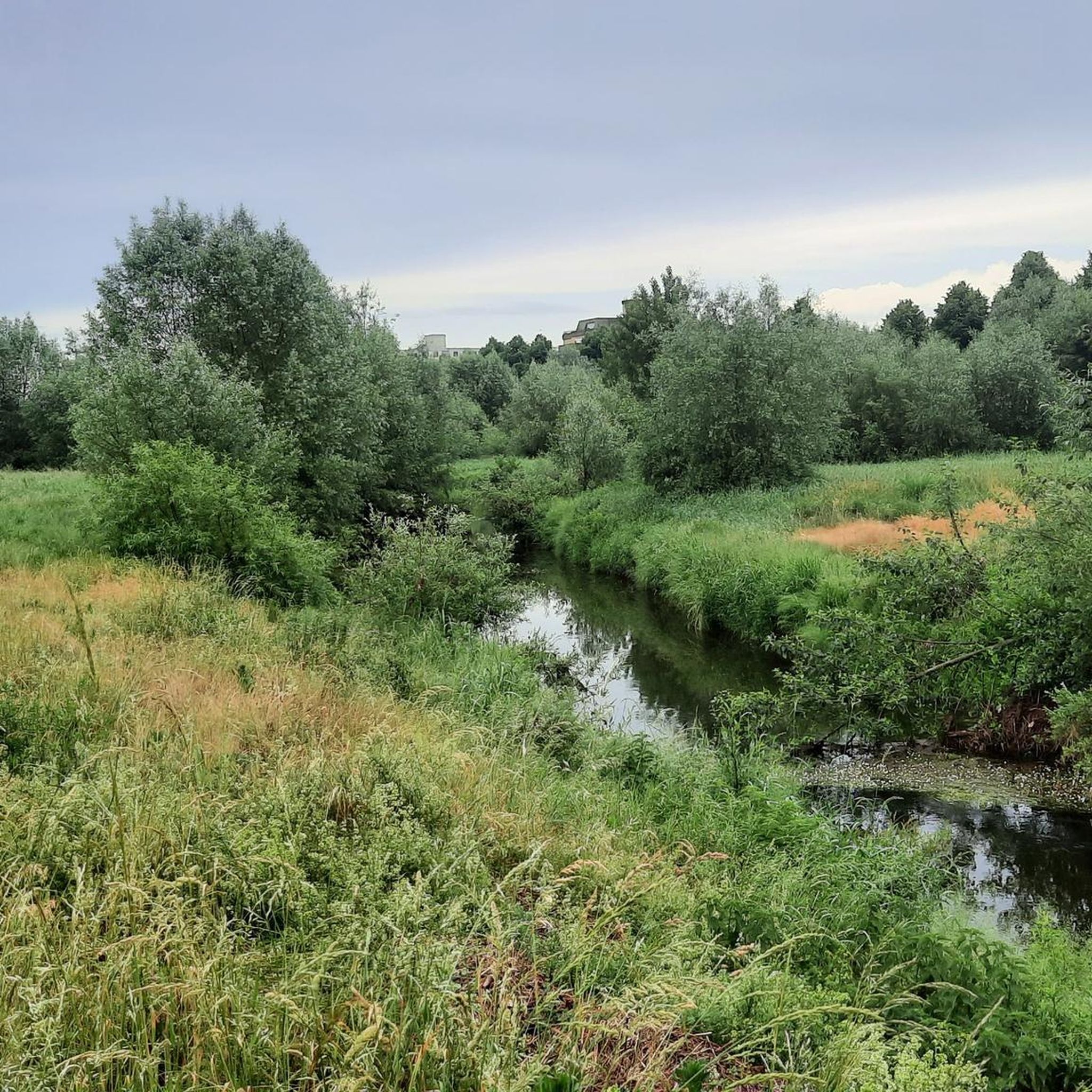
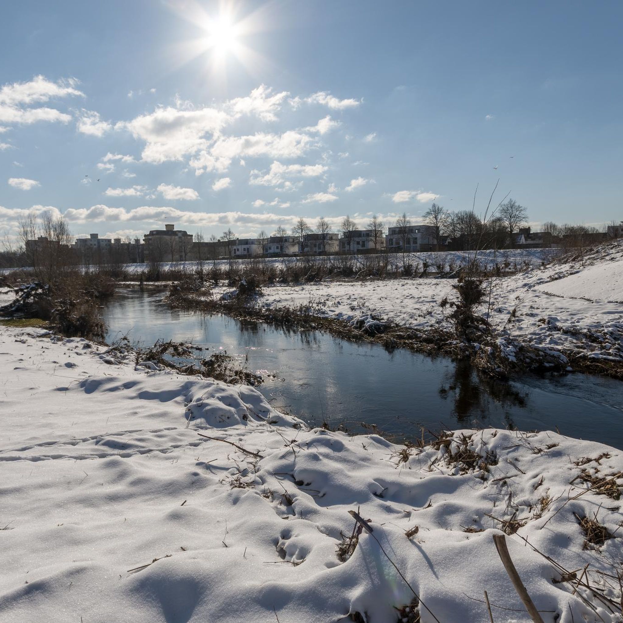
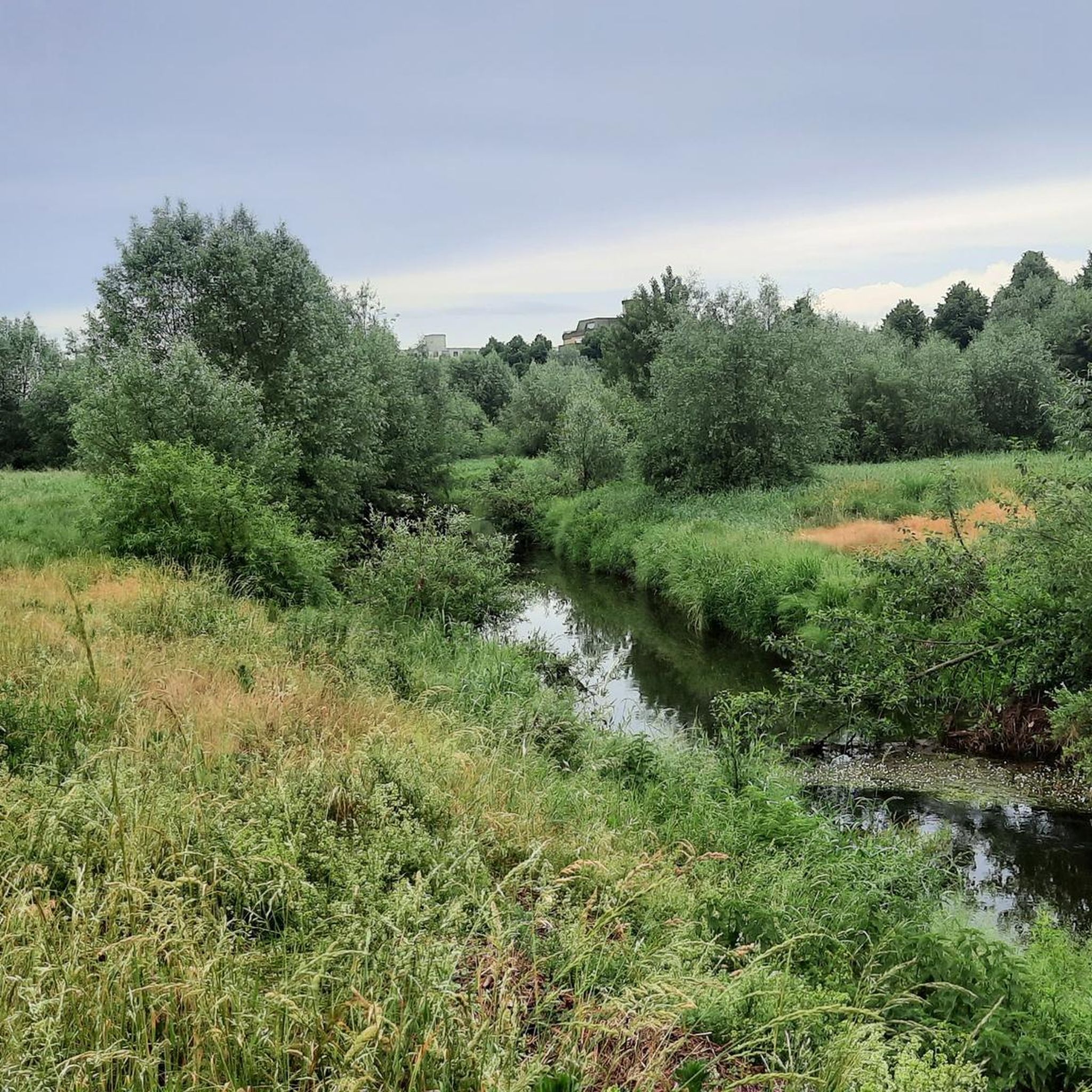
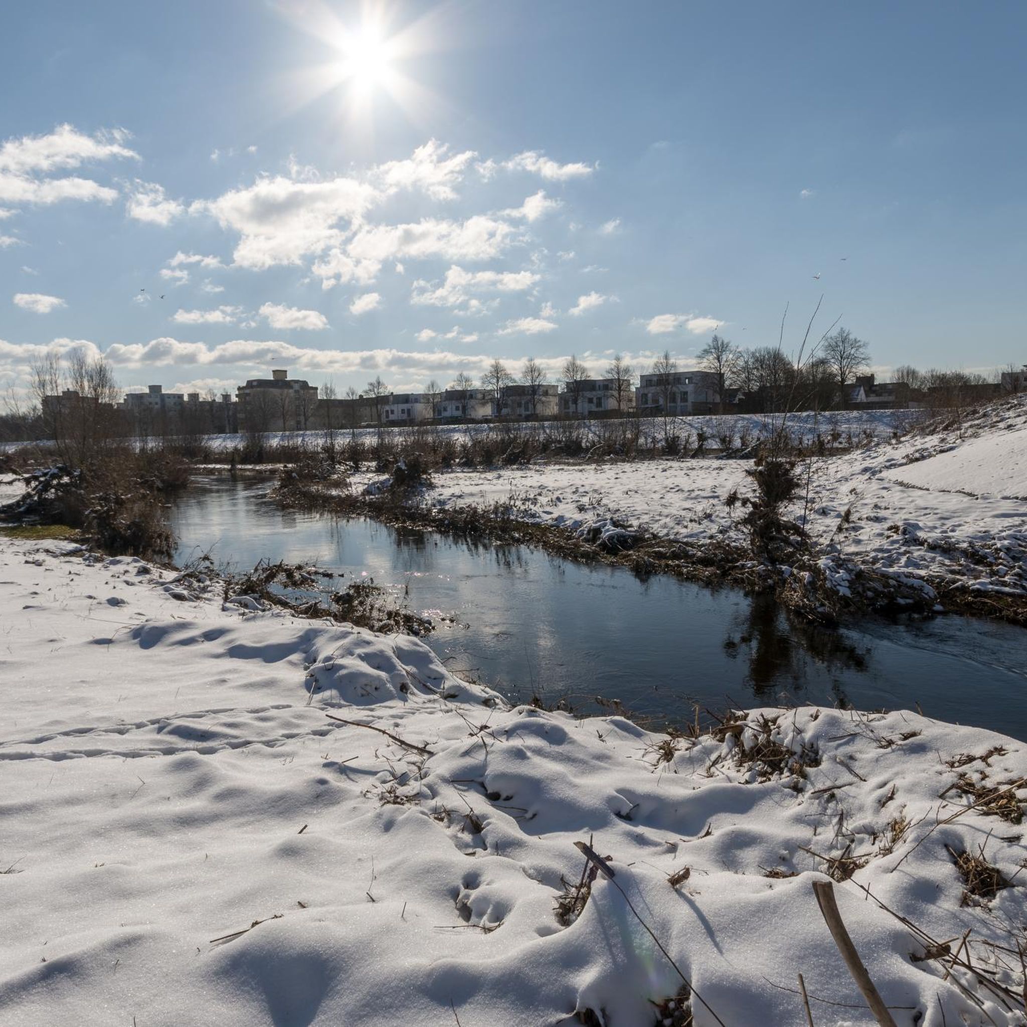
Mountain bike trails in Auenwälder Und Feuchtwiesen Westlich Von Ötigheim navigate a landscape characterized by floodplain forests, wetlands, and riverine environments. The terrain is generally flat, with routes often following the courses of rivers like the Murg and the Old Rhine. This region offers a network of paths through natural areas, often featuring old river arms and associated woodlands.
Best mountain bike trails in Auenwälder Und Feuchtwiesen Westlich Von Ötigheim
- The most popular mountain bike trail is Ettlingen Old Town…
Last updated: July 17, 2026
4.6
(9)
49
riders
67.9km
03:48
110m
110m
Moderate mountain bike ride. Good fitness required. Suitable for all skill levels.
4.5
(4)
8
riders
Hard mountain bike ride. Good fitness required. Advanced riding skills necessary. Some portions of the route may require you to push your bike.

Sign up for free
5.0
(2)
8
riders
42.0km
02:24
230m
230m
Moderate mountain bike ride. Good fitness required. Suitable for all skill levels.
4.5
(2)
9
riders
49.7km
03:26
570m
570m
Moderate mountain bike ride. Good fitness required. Suitable for all skill levels.
6
riders
45.3km
02:28
140m
140m
Moderate mountain bike ride. Good fitness required. Suitable for all skill levels.
Get access to more routes and recommendations from other explorers.
Sign up for free
Already have an account?
Our route recommendations are based on thousands of hikes, rides, and runs completed by other people on komoot.
Start today with a free account
Your next adventure awaits.
Login or Signup
Popular around Auenwälder Und Feuchtwiesen Westlich Von Ötigheim
Cycling in Auenwälder Und Feuchtwiesen Westlich Von Ötigheim
Road Cycling Routes in Auenwälder Und Feuchtwiesen Westlich Von Ötigheim
Running Trails in Auenwälder Und Feuchtwiesen Westlich Von Ötigheim
Hiking in Auenwälder Und Feuchtwiesen Westlich Von Ötigheim
Gravel biking in Auenwälder Und Feuchtwiesen Westlich Von Ötigheim
Tips from the Community

Amazonas in miniature format, unbelievable
0
0

The Sauer is a tributary of the Rhine, approximately 70 km long. It originates in the Palatinate Forest near the Franco-German border. On its course, it flows through the Northern Vosges and partly forms the border between Germany and France. It then crosses Alsace before flowing into the Rhine near Munchhausen. The Sauer has a catchment area of about 800 km² and an average discharge of around 6 m³ per second.
0
0
Willow bushes, marshy areas and reeds - the Sauer Delta nature reserve is an unusual landscape! It was declared a nature reserve by ministerial decree in 1997 and 486 ha were protected. From an ornithological, botanical and landscape perspective, it is a truly exceptional area and one of the last regions in France where the Rhine floodwaters can still spread out.
0
0
The "Saletio" cable ferry is unique in its kind. A cable system whose principle consists of using the sole force of the current to move. It connects the two banks Seltz (FR) with Plittersdorf (DE). It can transport 70 passengers, 28 bicycles, and 6 vehicles. Motorhomes and caravans are not allowed on the ferry. The ferry is free.
0
0

Very nice ice cream cafe, with a rich selection - always worth a stop.
0
0

Natural lake with a large sandy beach on the north shore and a small path near the lake on the east side. The lake is used by the local fishing club for fishing. Since 2025, swimming is allowed again in some places.
7
0
The Buchzigsee is a bathing lake managed by Ettlinger Bädern - very nicely laid out, but in principle a somewhat different swimming pool. It is not freely accessible at any point, but is completely fenced off.
6
0

Frequently Asked Questions
How many mountain bike trails are available in Auenwälder Und Feuchtwiesen Westlich Von Ötigheim?
There are over 300 mountain bike trails in Auenwälder Und Feuchtwiesen Westlich Von Ötigheim. This includes a wide range of options, with about 100 easy routes, 178 moderate routes, and 37 difficult trails for more experienced riders.
What do other mountain bikers say about the trails in Auenwälder Und Feuchtwiesen Westlich Von Ötigheim?
The trails in Auenwälder Und Feuchtwiesen Westlich Von Ötigheim are highly regarded by the komoot community, holding an average rating of 4.6 stars from over 1,400 reviews. More than 5,000 mountain bikers have explored this varied terrain, often praising the unique landscape of floodplain forests and river paths.
Are there mountain bike trails suitable for beginners in Auenwälder Und Feuchtwiesen Westlich Von Ötigheim?
Yes, Auenwälder Und Feuchtwiesen Westlich Von Ötigheim offers around 100 easy mountain bike routes. These trails are generally flat, following river courses and through woodlands, making them ideal for those new to mountain biking or looking for a relaxed ride. An example is the Old Rhine in Rastatter Rheinaue – Wilhelm Tell Statue loop from Ötigheim, which is an easy 19.9 km route.
What options are there for experienced mountain bikers looking for a challenge?
For experienced mountain bikers seeking a challenge, there are 37 difficult trails available. These routes often feature longer distances and more varied terrain, providing a good workout. The Ettlingen Old Town and Castle – Wooden Bridge Over the Stream loop from Ötigheim is a difficult 44.4 km trail that combines historical exploration with natural river crossings.
Are there family-friendly mountain bike routes in Auenwälder Und Feuchtwiesen Westlich Von Ötigheim?
Many of the easy and moderate routes are suitable for families, especially those that stick to the flatter paths along the rivers and through the floodplain forests. These trails offer a chance to enjoy nature without overly demanding climbs. Look for routes marked as 'easy' on komoot for the most family-friendly options.
Can I find circular mountain bike routes in Auenwälder Und Feuchtwiesen Westlich Von Ötigheim?
Yes, the region features numerous circular mountain bike routes. Many trails are designed as loops, allowing you to start and end at the same point. Examples include the moderate Lochmühlen Spring – Viewpoint on Lärchenweg loop from Ötigheim and the Auer Altrhein – Muggensturm Animal Enclosure loop from Ötigheim.
What interesting sights or landmarks can I see along the mountain bike trails?
The trails often pass by interesting sights. You might encounter historical sites like the Duel Memorial Stone of 1836 or the Wilhelm Tell Statue. Some routes, like the View of the River Murg – Roman House loop from Ötigheim, lead past historical sites and offer views of the River Murg.
Are there any viewpoints on the mountain bike trails in Auenwälder Und Feuchtwiesen Westlich Von Ötigheim?
Yes, some routes offer specific viewpoints. For instance, the Lochmühlen Spring – Viewpoint on Lärchenweg loop from Ötigheim includes a designated viewpoint along a larch path. Other trails provide scenic vistas over the river landscapes and wetlands.
What kind of wildlife might I encounter while mountain biking?
Given the region's floodplain forests, wetlands, and riverine environments, you have a good chance of spotting various bird species, especially waterfowl. Keep an eye out for small mammals and insects typical of these rich natural habitats. Remember to stay on marked paths to minimize disturbance to wildlife.
What is the best time of year for mountain biking in Auenwälder Und Feuchtwiesen Westlich Von Ötigheim?
Spring and autumn are generally ideal for mountain biking in this region, offering pleasant temperatures and beautiful scenery as the foliage changes. Summer can also be good, but it's advisable to ride earlier in the morning or later in the afternoon to avoid the midday heat. Winter riding is possible, but trails might be muddy or icy, especially in shaded forest sections.
Is parking available near the mountain bike trails?
Parking is generally available at various access points to the trail network, particularly in and around Ötigheim and other nearby towns. Look for designated parking areas near trailheads or public car parks in the villages, which often provide convenient starting points for your ride.
How accessible are the mountain bike trails by public transport?
Ötigheim and surrounding communities are typically served by local bus and train services, which can provide access to the region. While direct access to every trailhead by public transport might vary, you can often reach a nearby town and cycle a short distance to connect with the mountain bike routes. Check local public transport schedules for specific connections.
Most popular routes in Auenwälder Und Feuchtwiesen Westlich Von Ötigheim
Most popular attractions in Auenwälder Und Feuchtwiesen Westlich Von Ötigheim

Get inspired with the komoot mobile app


Explore more
Browse the best MTB trails in other regions.
