The best walks and hikes in Réserve Naturelle De L'Île Du Rohrschollen
4.4
(3332)
16,118
hikers
497
hikes
Hiking trails in Réserve Naturelle De L'Île Du Rohrschollen traverse an island nature reserve located southeast of Strasbourg. This area is characterized by its rare alluvial forest, which thrives due to rich river deposits and features diverse plant life. The terrain includes sections along the Rhine River, internal waterways, and alluvial meadows, offering varied landscapes for outdoor activities. The reserve is a significant biodiversity hotspot, providing a preserved natural setting for exploration.
Best hiking trails in Réserve Naturelle De L'Île…
Last updated: October 12, 2026
4.5
(224)
636
hikers
Moderate hike. Good fitness required. Easily-accessible paths. Suitable for all skill levels.
4.8
(10)
45
hikers
Moderate hike. Good fitness required. Easily-accessible paths. Suitable for all skill levels.

4.9
(12)
40
hikers
Moderate hike. Good fitness required. Easily-accessible paths. Suitable for all skill levels.
4.4
(12)
99
hikers
5.09km
01:18
10m
10m
Easy hike. Great for any fitness level. Easily-accessible paths. Suitable for all skill levels.
4.3
(4)
70
hikers
6.35km
01:36
10m
10m
Easy hike. Great for any fitness level. Easily-accessible paths. Suitable for all skill levels.
Get access to more routes and recommendations from other explorers.
Already have an account?
Our route recommendations are based on thousands of hikes, rides, and runs completed by other people on komoot.
Start today with a free account
Your next adventure awaits.
Popular around Réserve Naturelle De L'Île Du Rohrschollen
Tips from the Community

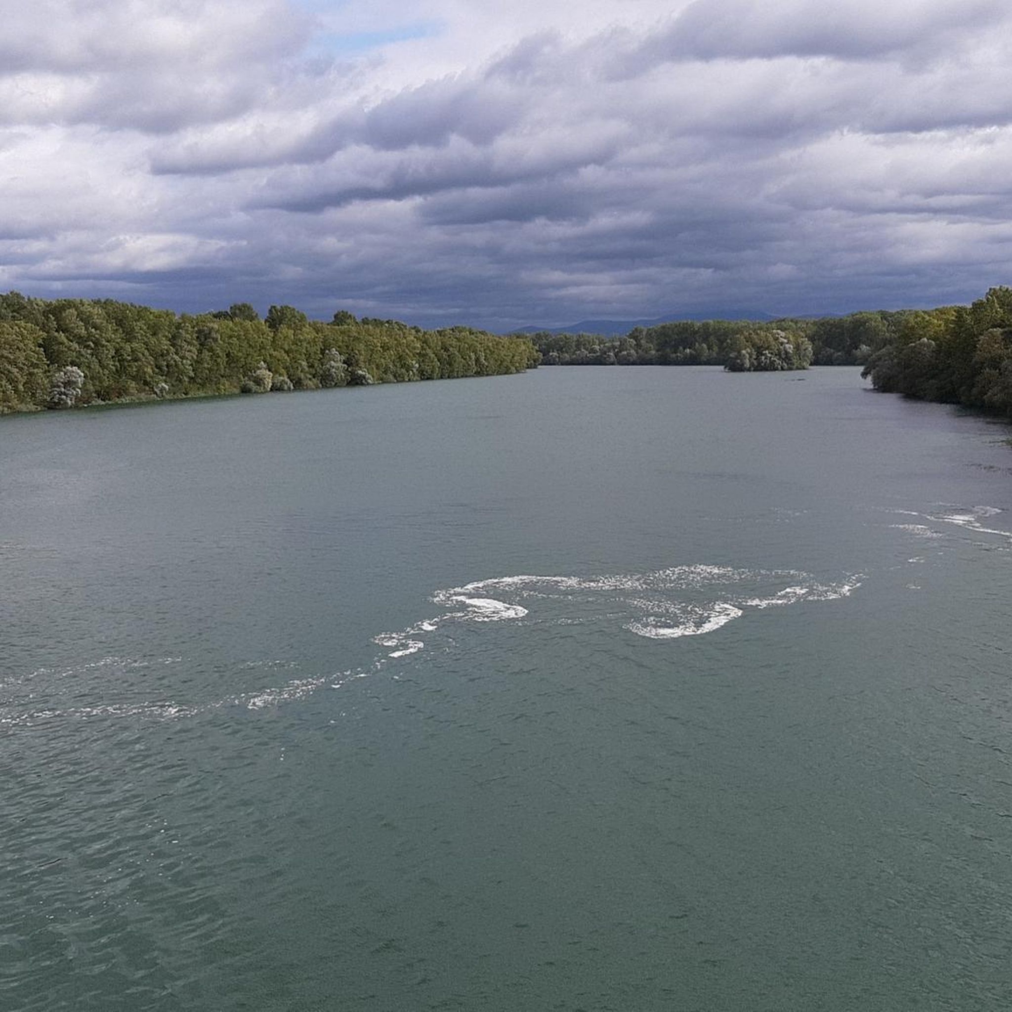
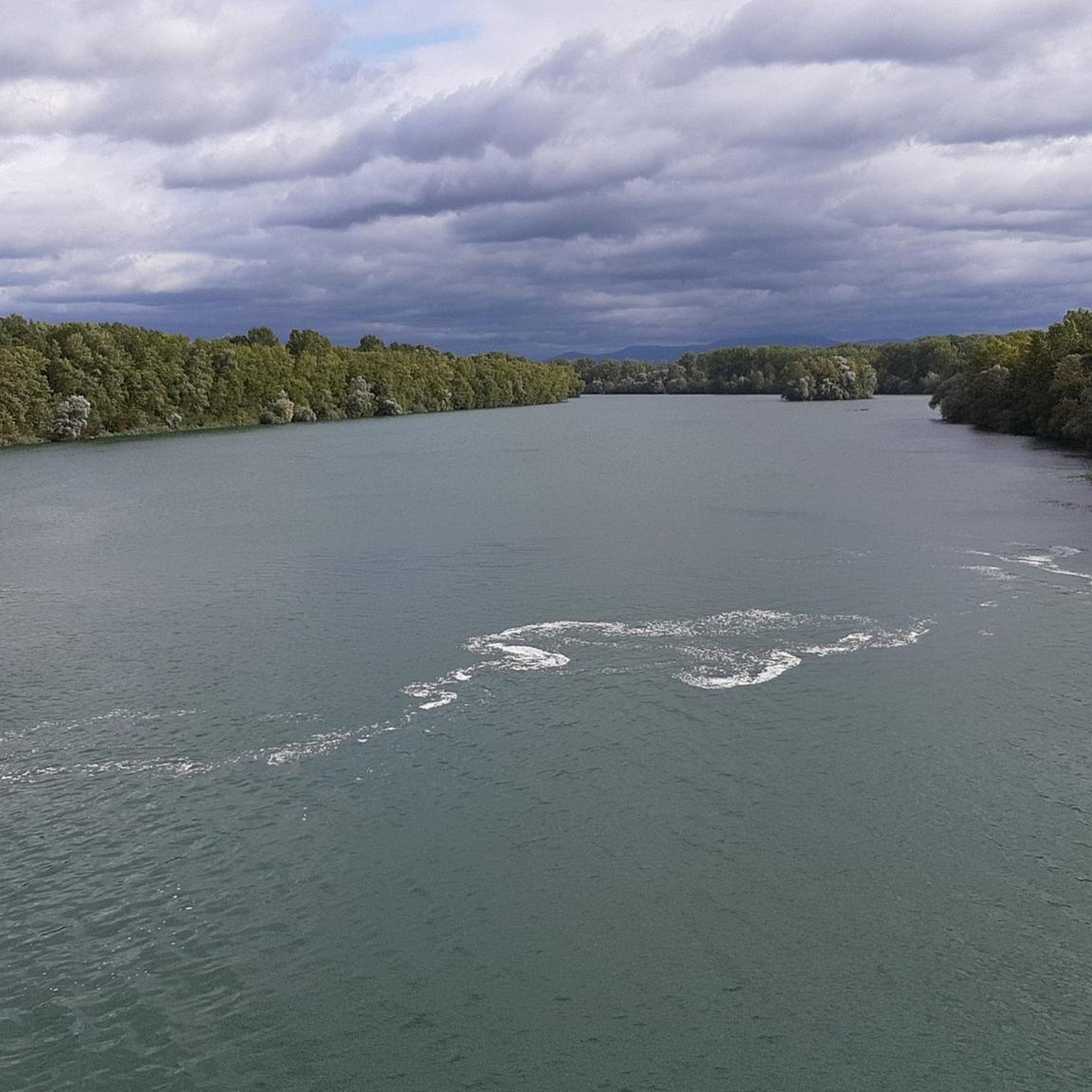
The Marlen marina (also known as Marlen boat harbor) is operated by the Wassersport-Club Kehl-Goldscheuer e.V. (WCG) and is idyllically situated on an old Rhine arm in the Kehl district of Marlen. The nature-close, hidden facility on the Rheinweidweg offers sheltered berths for sailing and motorboats, as well as seating for hikers and cyclists. The adjacent Rhine section is managed by the local fishing club. Since the harbor does not have extensive service infrastructure, skippers must resort to the Nautic-Club Kehl, located further north, for fuel stations or gastronomy.
0
0
The Tulla boundary stone No. 79 at "Steinsporen" is a historical cultural monument in the Rhine floodplains between Kehl-Goldscheuer and Neuried-Altenheim. It dates from around 1820 and commemorates the Rhine straightening by Johann Gottfried Tulla. The stones were used for precise surveying and showed the Baden coat of arms as well as the French Bourbon lily. Stone No. 79 is located directly on the Auen-Wildnispfad trail near Steinspore-Brugg and is a popular destination for hikers and cyclists.
0
0
The Auen-Wildnispfad near Neuried-Altenheim is a natural, 2.5-kilometer circular trail through a protected floodplain biotop. The path is designed to be wild, which often requires visitors to climb over tree trunks – sturdy footwear is mandatory, and the trail is unsuitable for strollers or wheelchairs. Due to the obstacles, the tour takes about 2 to 3 hours. As the path is located in the high water retention area, it can be flooded; the status must be checked in advance by phone or on-site via a water level indicator. Free parking is available at the European Forum on the Rhine, where the access also starts.
0
0
The Auen-Wildnispfad near Neuried-Altenheim is a natural, 2.5-kilometer circular trail through a protected floodplain forest biotope. The path is designed to be wild, which is why visitors often have to climb over logs – sturdy footwear is mandatory, and the path is unsuitable for strollers or wheelchairs. Due to the obstacles, the tour takes about 2 to 3 hours. As the path is located in a flood retention area, it can be flooded; the status must be checked in advance by phone or on-site via the water level indicator. Free parking is available at the European Forum am Rhein, where the access also starts.
0
0

Many large sharp stones and potholes on the Rhine riverbank. Got 2 flat tires there with the gravel bike. But otherwise very nice to ride.
0
0

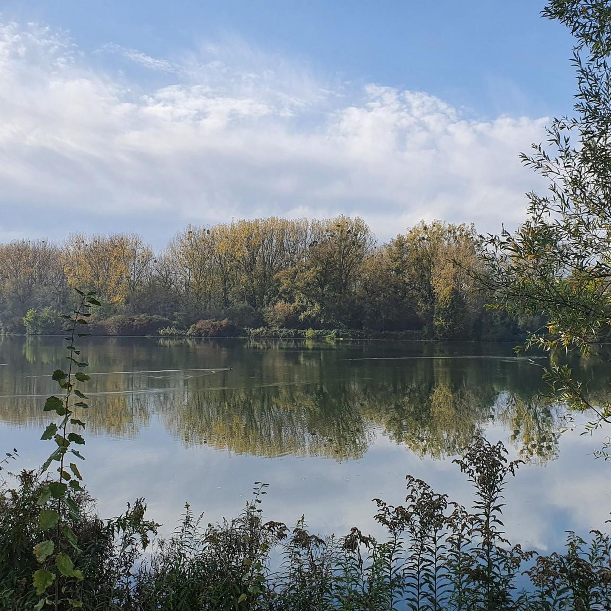
Together with the boardwalk to the west, this is probably one of the most beautiful spots in the Rohrschollen Nature Reserve. A good description of Rohrschollen Island, its history, and some of the plants and animals found there can be found here in German: https://reserves-naturelles.strasbourg.eu/de/rohrschollen-insel/entdecken/ The page is also available in English and, of course, French. Simply click on the corresponding language code in the upper right corner.
2
0

Very nice tour along the Rhine 👍
0
0

Very nice igloo on the floodplain wilderness trail!
2
0
Frequently Asked Questions
How many hiking trails are available in Réserve Naturelle De L'Île Du Rohrschollen?
There are over 480 hiking routes available in Réserve Naturelle De L'Île Du Rohrschollen, offering a wide variety of options for different preferences and skill levels.
What kind of terrain can I expect to find on the hiking trails?
The reserve is characterized by its rare alluvial forest, which thrives due to rich river deposits. You'll find trails traversing this lush forest, sections along the Rhine River, internal waterways, and open alluvial meadows. The terrain is generally flat, with minimal elevation changes.
Are there easy hiking options suitable for beginners or families?
Yes, the reserve offers many easy hiking options. Out of the over 480 routes, more than 340 are classified as easy. For example, the The Rhine – View of the Rhine loop from Pont Pierre Pflimlin is an easy 6.3 km path, and the Flowers loop from Réserve naturelle de l'île du Rohrschollen is another easy 4.6 km option.
What natural features or landmarks can I see along the hiking trails?
Hikers can explore the unique alluvial forest, often described as resembling an Amazonian forest due to its rich plant life. You'll also encounter the Rhine River, various internal waterways, and alluvial meadows. Notable points of interest include the Rheinau Dam and the fish pass, where you might observe salmon migrating. The Rohrschollen Island Nature Reserve itself is a significant natural landmark.
Are there circular hiking routes available?
Yes, many of the trails in Réserve Naturelle De L'Île Du Rohrschollen are circular routes, allowing you to start and end at the same point. The Rohrschollen Island – Rheinau Dam loop from Réserve naturelle de l'île du Rohrschollen is a popular moderate 11.8 km circular path that circles the island.
What kind of wildlife can I expect to spot?
The reserve is a biodiversity hotspot, especially for birds. It's a crucial stopover for migratory birds, with over 150 species recorded, and thousands of waterfowl wintering here annually. You might also spot various amphibians and even deer within the alluvial forest.
What do other hikers enjoy most about the trails in Réserve Naturelle De L'Île Du Rohrschollen?
The area is highly rated by the komoot community, with an average score of 4.4 stars from over 2,700 reviews. Hikers often praise the peaceful atmosphere, the unique alluvial forest environment, and the well-maintained trails that offer a refreshing escape into nature close to Strasbourg.
Is there parking available at the reserve?
Yes, parking is available at various access points to the Réserve Naturelle De L'Île Du Rohrschollen, making it convenient for visitors arriving by car. Specific parking areas are usually indicated near trailheads.
Can I reach Réserve Naturelle De L'Île Du Rohrschollen by public transport?
While the reserve offers a preserved natural setting, it is located just 10 km southeast of Strasbourg. Public transport options from Strasbourg are available, though they may require a combination of bus and a short walk to reach the main entrances of the reserve. It's advisable to check local transport schedules for the most current information.
What is the best time of year to visit for hiking?
The Réserve Naturelle De L'Île Du Rohrschollen can be enjoyed year-round. Spring and autumn offer pleasant temperatures and vibrant natural colors, while summer provides lush greenery. Even in winter, the reserve offers a unique, peaceful experience, especially for birdwatching.
Are there trails that specifically explore the unique alluvial forest?
Yes, the reserve features trails designed to immerse hikers in its emblematic alluvial forest. The 'Sentier de la Forêt Galerie' (Forest Gallery Trail), for instance, guides you through the humid poplar forest under a natural canopy formed by trees, offering a deep dive into this rare ecosystem.
Are there any trails that follow the Rhine River?
Absolutely. The 'Sentier du Vieux Rhin' (Old Rhine Trail) circles almost the entire island, allowing you to walk along the Old Rhine, which borders the reserve to the east. This trail offers diverse environments, including dry dikes and gravel banks, with views of both the natural Rhine and the Strasbourg Canal.
Most popular routes in Réserve Naturelle De L'Île Du Rohrschollen
Most popular attractions in Réserve Naturelle De L'Île Du Rohrschollen

Get inspired with the komoot mobile app


Explore more
Browse the best Hikes in other regions.
