The best running trails in Réserve Biologique Dirigée Des Hauts De Bousson
4.7
(22)
1,398
runners
69
runs
Jogging in Réserve Biologique Dirigée Des Hauts De Bousson offers a diverse experience within a managed forest reserve. The region is characterized by varied forest terrain, featuring both wide, often stony paths and narrower trails. These running routes provide a natural setting with shaded areas, allowing for an immersive experience amidst diverse tree species and local flora. The reserve's focus on biodiversity conservation contributes to a tranquil environment for outdoor activity.
Best jogging routes in Réserve Biologique Dirigée Des Hauts…
Last updated: July 5, 2026
6
runners
10.3km
01:24
370m
370m
Tackle the difficult Circuit des Roches jogging route in the Vosges, covering 6.4 miles (10.3 km) with 1205 feet (367 metres) of elevation g
8
runners
9.17km
00:57
80m
80m
Moderate run. Good fitness required. Mostly paved surfaces. Suitable for all skill levels.

Sign up for free
1
runners
4.81km
00:37
150m
150m
This 3.0-mile (4.8 km) moderate jogging loop from Col de la Chapelotte explores forest paths and the historic Poilus' Cave.
6
runners
7.17km
00:45
70m
70m
Moderate run. Good fitness required. Mostly paved surfaces. Suitable for all skill levels.
6
runners
9.71km
01:18
330m
330m
Hard run. Very good fitness required. Mostly paved surfaces. Suitable for all skill levels.
Get access to more routes and recommendations from other explorers.
Sign up for free
Already have an account?
Our route recommendations are based on thousands of hikes, rides, and runs completed by other people on komoot.
Start today with a free account
Your next adventure awaits.
Login or Signup
Popular around Réserve Biologique Dirigée Des Hauts De Bousson
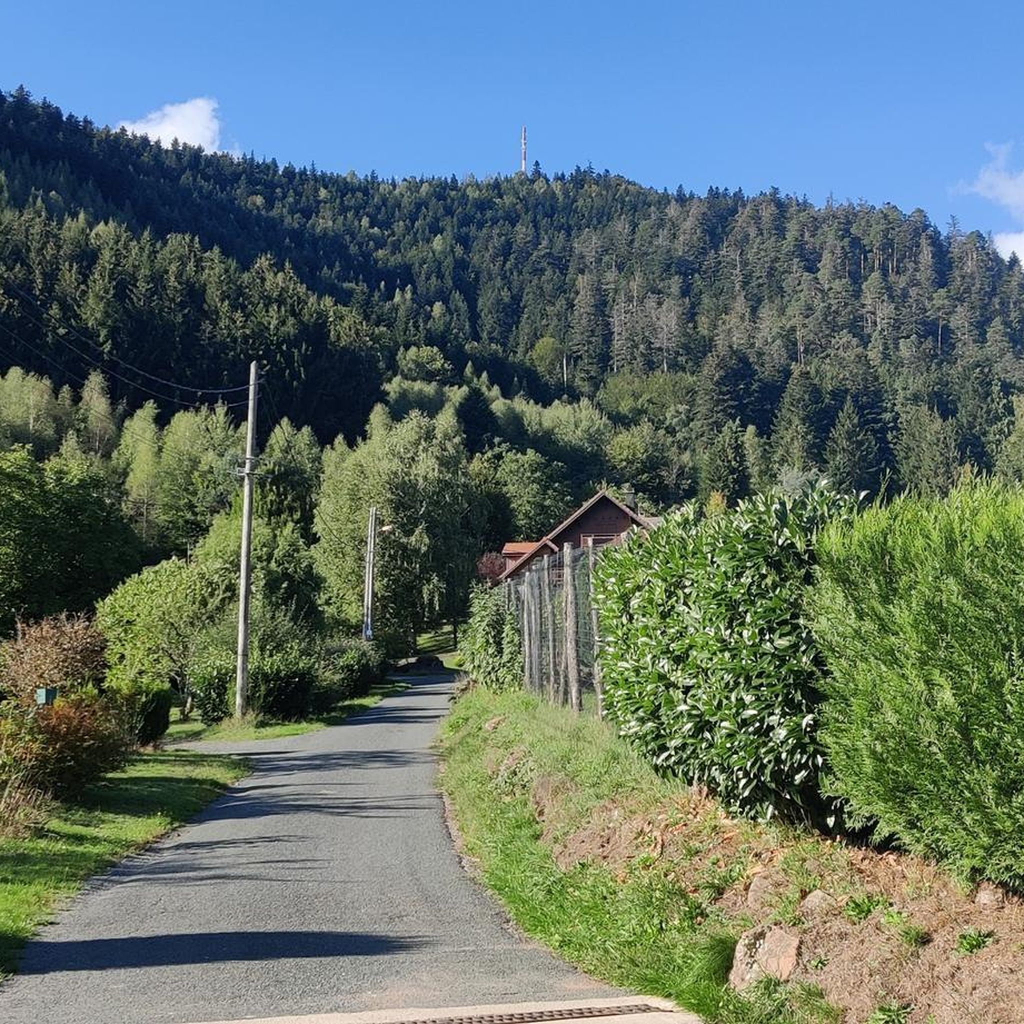
Road Cycling Routes in Réserve Biologique Dirigée Des Hauts De Bousson
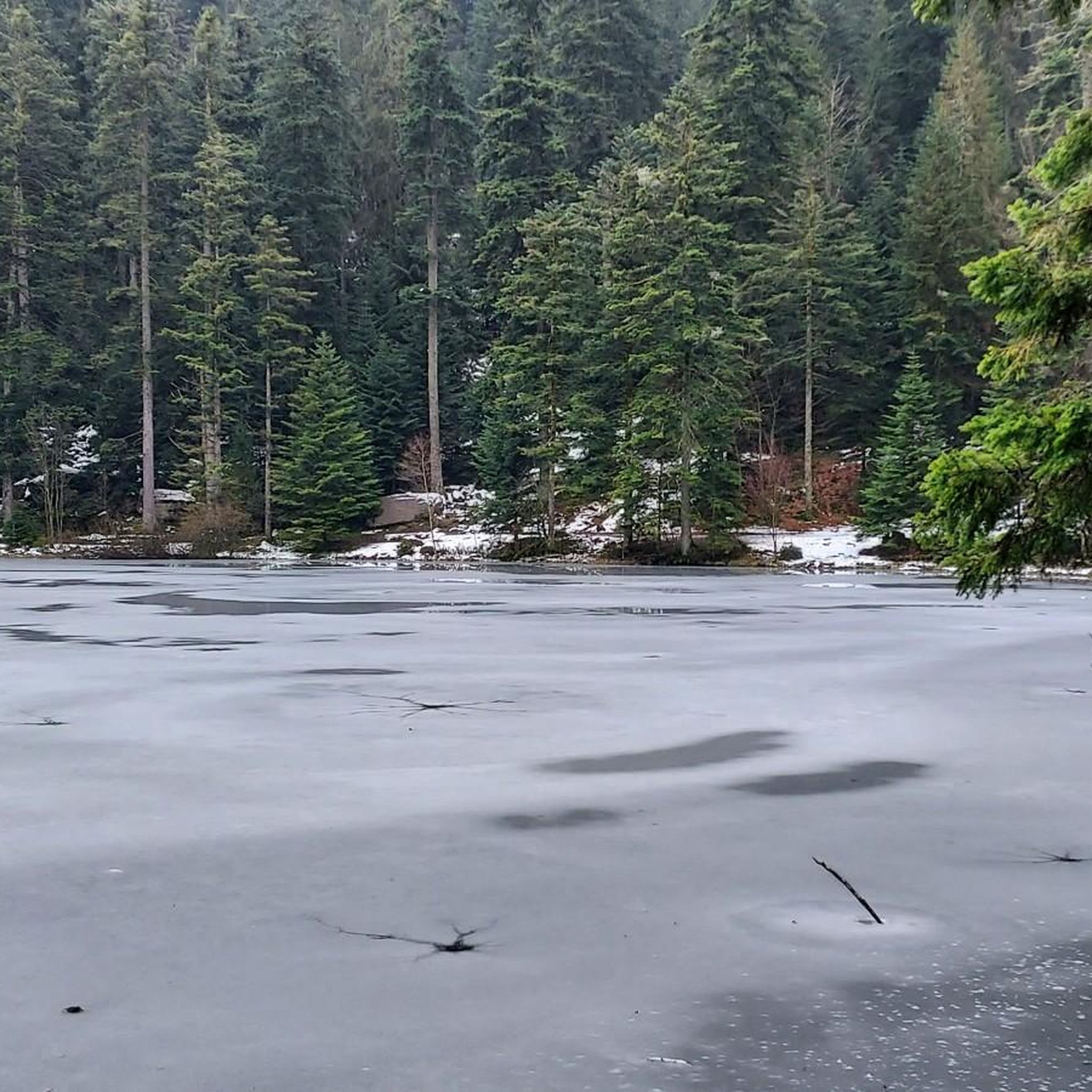
MTB Trails in Réserve Biologique Dirigée Des Hauts De Bousson
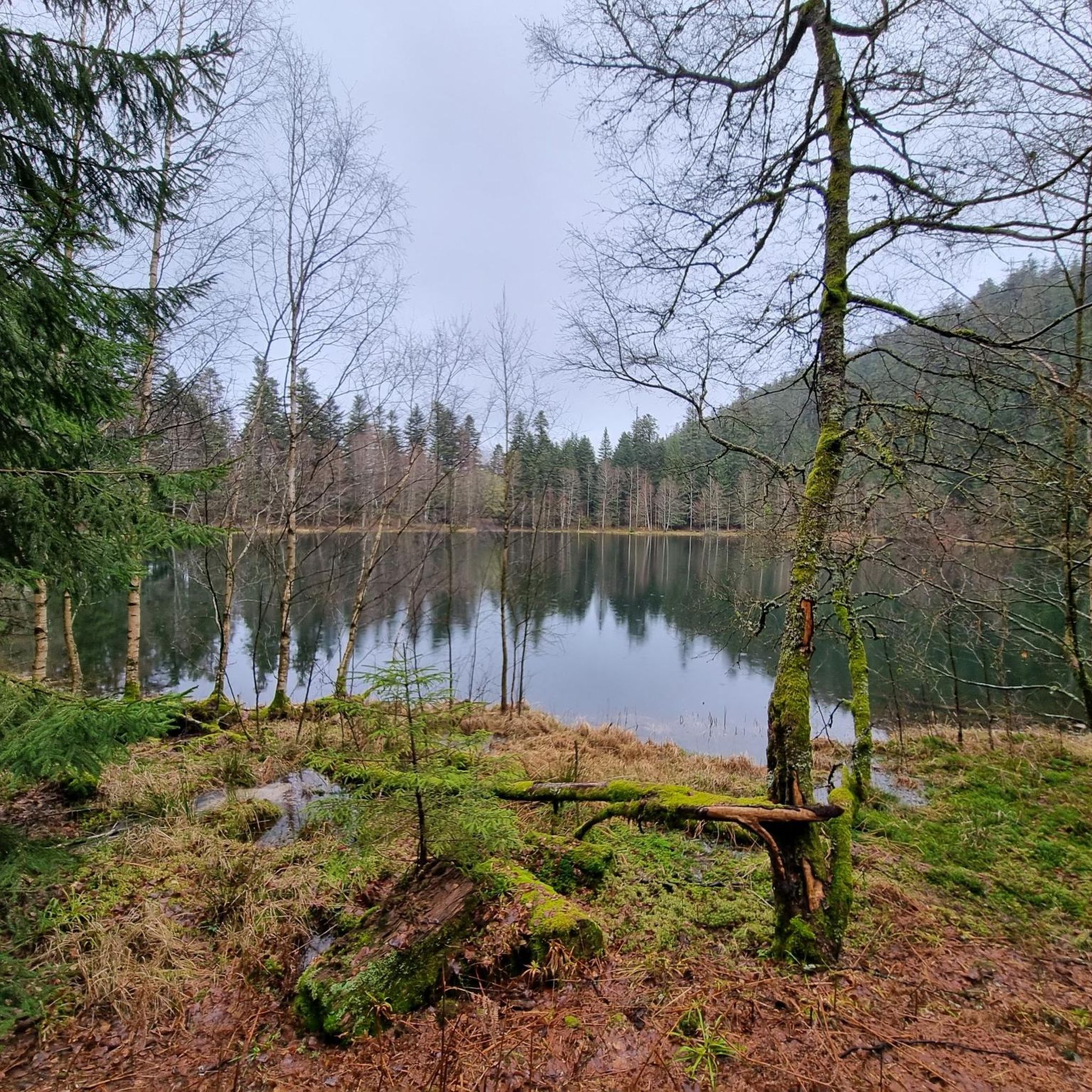
Hiking in Réserve Biologique Dirigée Des Hauts De Bousson
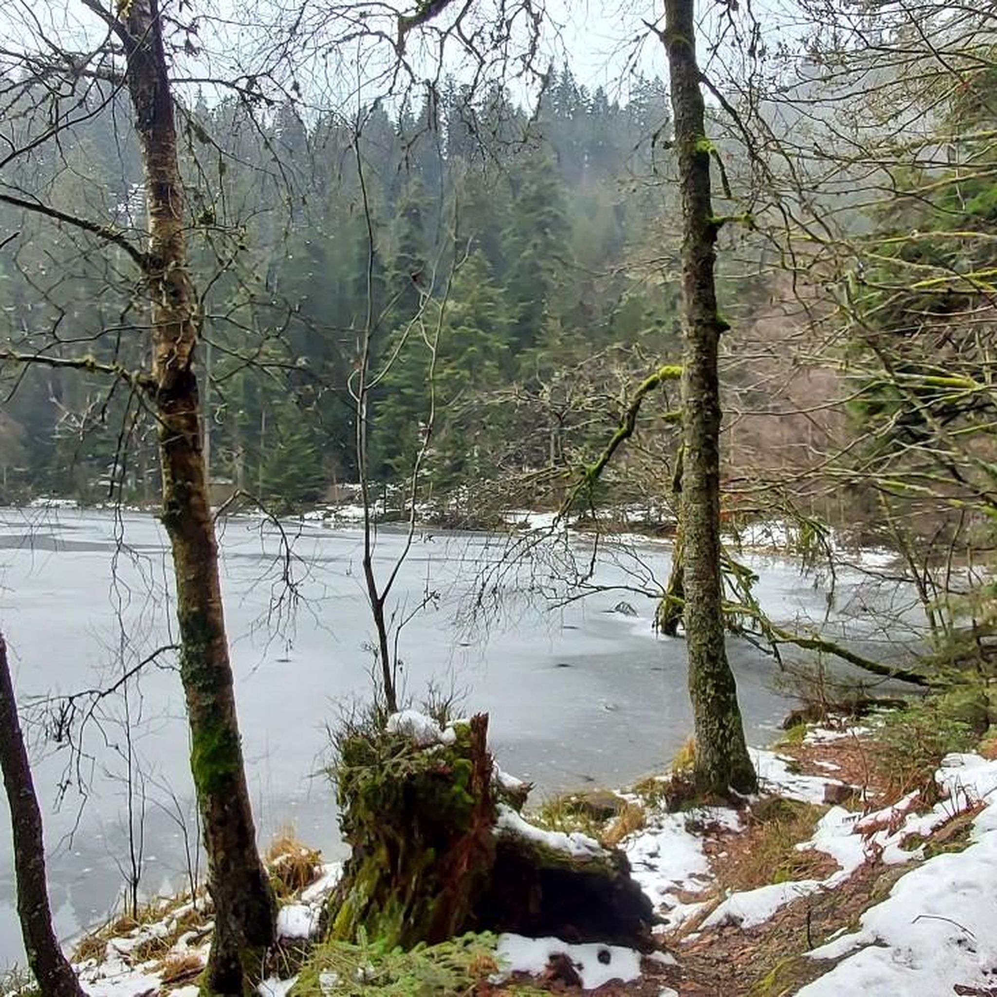
Cycling in Réserve Biologique Dirigée Des Hauts De Bousson

Gravel biking in Réserve Biologique Dirigée Des Hauts De Bousson
Tips from the Community

Sometimes the route is difficult to follow and we couldn't find the path. The view at the top is amazing, though.
0
0

Pierre-Percée is a small mountain village in the east of the Meurthe-et-Moselle department, on the edge of the Vosges Mountains. With fewer than 100 inhabitants, it is one of the smallest communes in the region. Situated on the edge of the Plaine Valley, the village is built at the foot of the ruins of the medieval Château de Pierre-Percée, which once belonged to the Counts of Salm. The village's name refers to a 33-meter-deep well carved into the rock beneath the castle. During the Thirty Years' War, the village, like the castle, was largely destroyed. In the 20th century, Pierre-Percée regained significance with the construction of the EDF reservoir and the creation of a recreation area, which today attracts tourists for hiking, water sports, and nature experiences.
9
0

This memorial commemorates the dead of the First World War as well as the citizens of Pierre-Percée who died in other wars.
1
0

One of the many rocks to see in this area, giving a nice view towards Bionville (although less clear than that of Roche aux Cochons). It nevertheless stands out for its size, its hollow hollow on its top, but above all, for the passage of the path in one of its faults! 🪨
1
0
Beautiful view. It is possible to see the bell tower of the Church of Pierre Percée, as well as a small part of the lake. The place is ideally oriented to enjoy the sunset 🌄
1
0

This rock stands proudly and is quite impressive among the trees. From here you have a fantastic view over the valley.
3
0
A fantastic rock with a beautiful view over the valley.
3
0
This large cave served as an aid station for 4 years during the First World War.
4
0
Frequently Asked Questions
How many running routes are available in Réserve Biologique Dirigée Des Hauts De Bousson?
There are over 65 dedicated running routes in Réserve Biologique Dirigée Des Hauts De Bousson, offering a wide range of options for all skill levels. These include 36 moderate and 31 difficult trails.
What kind of terrain can I expect on the jogging trails?
The reserve features varied forest terrain, providing a diverse running experience. You'll find both wide, often stony paths and narrower trails. The immersive natural setting includes shaded areas and diverse tree species, ensuring a tranquil run.
Are there any running routes suitable for beginners?
While the guide lists routes as moderate or difficult, many of the moderate forest loops offer gentler ascents and a good starting point for less experienced runners. For example, the Running loop from Bionville is a moderate 5.7 miles (9.2 km) path with gentle ascents, ideal for building endurance.
Are there challenging running routes for experienced runners?
Yes, the reserve offers several challenging routes. The Circuit des Roches is a difficult 6.4 miles (10.3 km) trail with significant elevation changes, perfect for those seeking a more strenuous workout. Another difficult option is the Poilus' Cave – War Memorial of Pierre-Percée loop from Pierre-Percée.
Can I bring my dog on the running trails in the reserve?
The Réserve Biologique Dirigée Des Hauts De Bousson, as a managed forest reserve focused on biodiversity conservation, generally allows dogs but often requires them to be kept on a leash to protect wildlife and maintain the natural environment. It's always best to check specific regulations from the Office National des Forêts (ONF) for the most current rules.
Are there circular running routes available?
Yes, many of the routes are designed as loops, offering a convenient circular experience. The Running loop from Bionville and the North Loop of the GR de Pays de la Déodatie are popular circular options.
What is the best time of year to go jogging in Réserve Biologique Dirigée Des Hauts De Bousson?
The varied forest terrain with shaded areas makes the reserve enjoyable for jogging throughout much of the year. Spring and autumn offer pleasant temperatures and beautiful scenery. Even during warmer summer months, the forest canopy provides a cooler environment. Winter jogging is also possible, though conditions may vary with snow or ice.
What do other runners enjoy most about jogging in Réserve Biologique Dirigée Des Hauts De Bousson?
The area is highly rated by the komoot community, with an average score of 4.7 stars from over 27 reviews. Runners often praise the immersive natural setting, the peace and quiet away from urban disturbances, and the diverse flora and fauna encountered along the trails. The variety of paths, from wide to narrow, also contributes to a engaging experience.
Are there any shorter running routes for a quick workout?
Absolutely. For a quicker run, consider the North Loop of the GR de Pays de la Déodatie, which is a moderate 3.0 miles (4.8 km) trail that can be completed in about 37 minutes, leading through dense woodlands.
Where can I park when visiting the Réserve Biologique Dirigée Des Hauts De Bousson for a run?
While specific parking areas aren't detailed in the route descriptions, managed forest reserves like this typically have designated parking at key access points or trailheads. Look for signs for 'Forêt Domaniale de Bousson' or 'Réserve Biologique Dirigée Des Hauts De Bousson' when approaching by car.
Are there any natural features or points of interest to look out for while running?
The reserve itself is a magnificent natural park, offering close contact with nature. While specific dramatic landmarks like waterfalls aren't highlighted within the reserve, joggers can anticipate encountering diverse flora and fauna characteristic of a protected forest. The varied forest terrain and different tree species provide a constantly changing natural backdrop.
Are there any cafes or facilities near the reserve for after my run?
The region research indicates that the reserve is part of a natural park, implying a focus on nature rather than commercial facilities directly within it. However, nearby towns like Lunéville, which is relatively close to the broader Forêt Domaniale de Bousson, would likely offer cafes, pubs, and accommodation options for post-run refreshments or stays.
Most popular routes in Réserve Biologique Dirigée Des Hauts De Bousson

Get inspired with the komoot mobile app


Explore more
Browse the best Running Trails & Routes in other regions.
