The best road cycling routes in Untere Nahe
4.5
(1138)
15,583
riders
83
rides
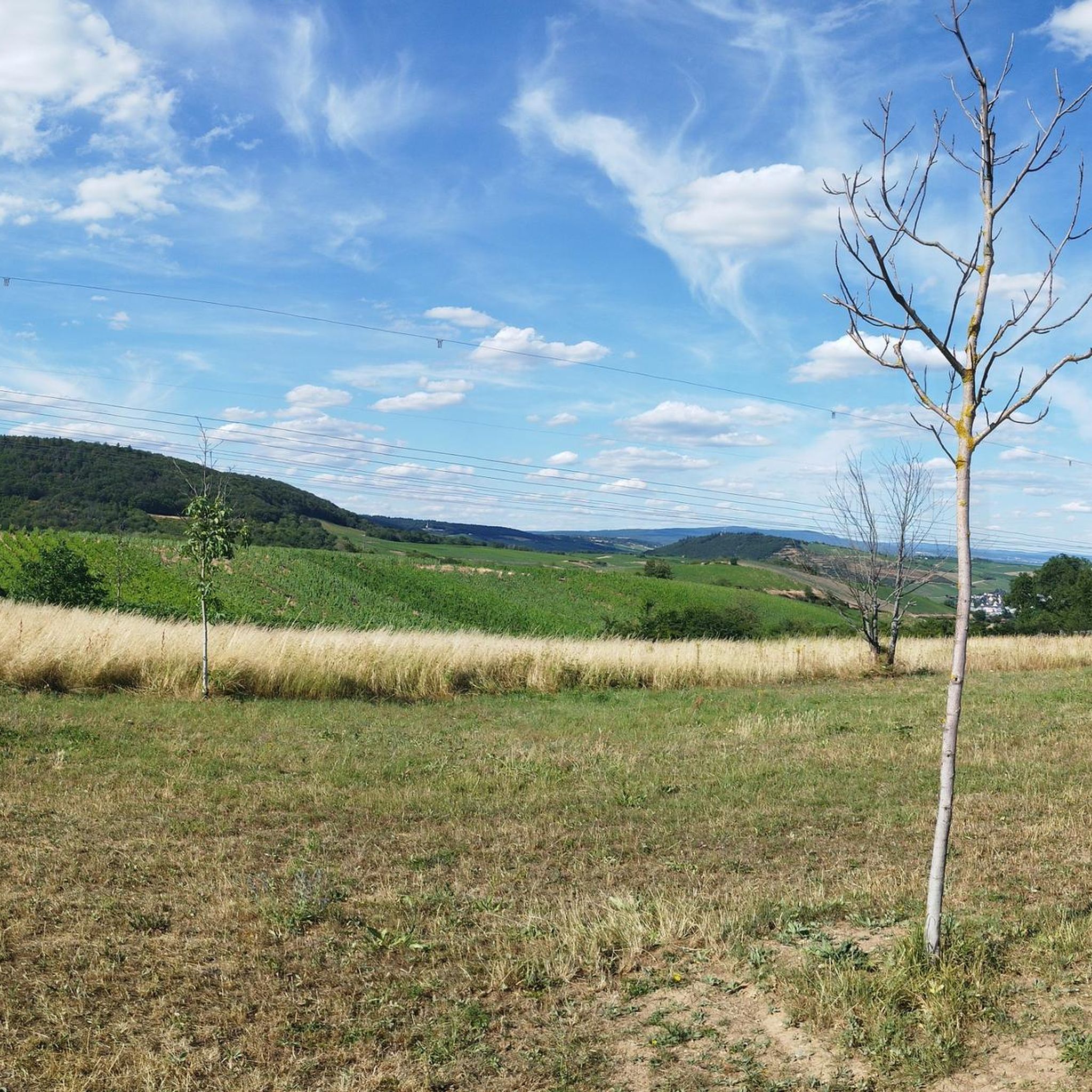
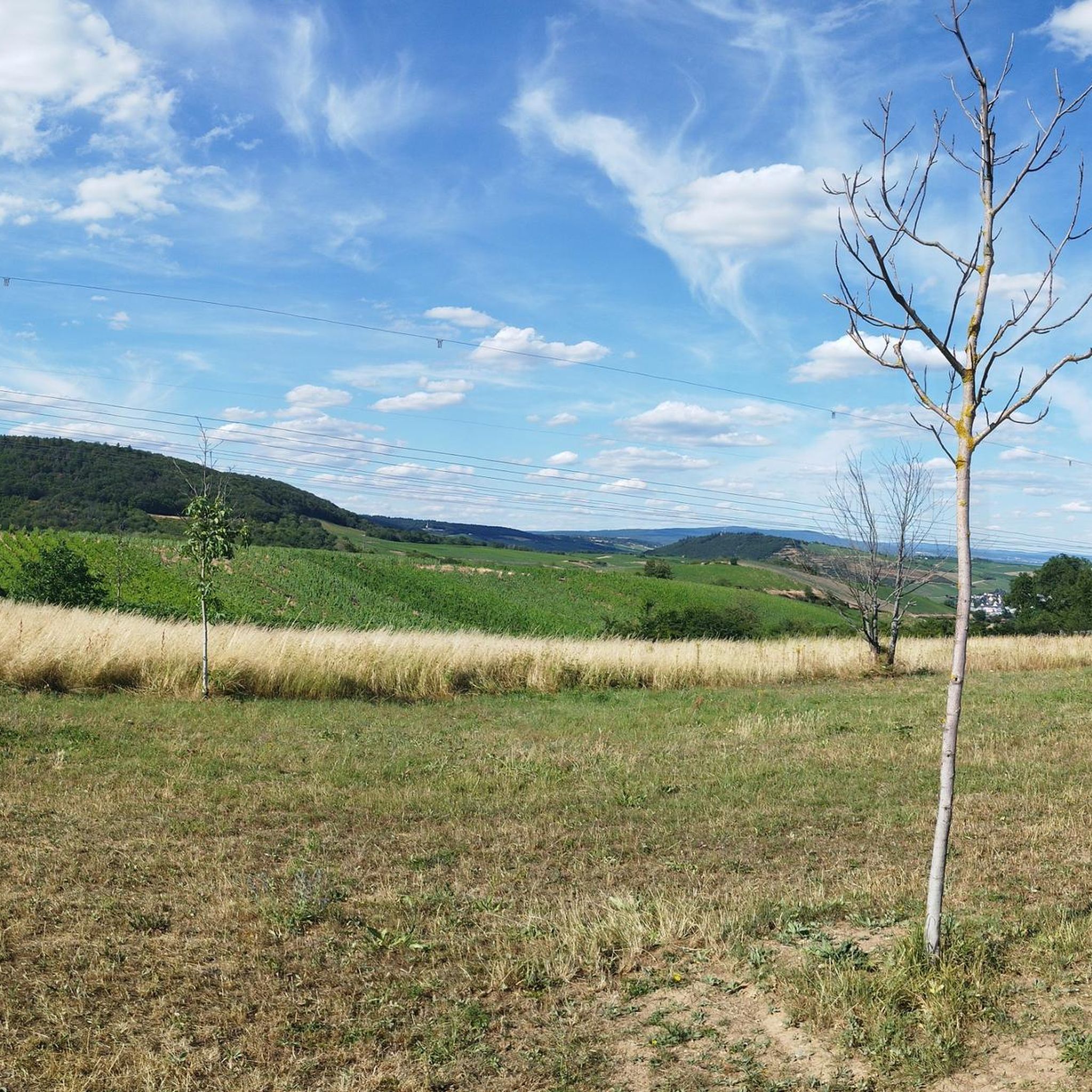
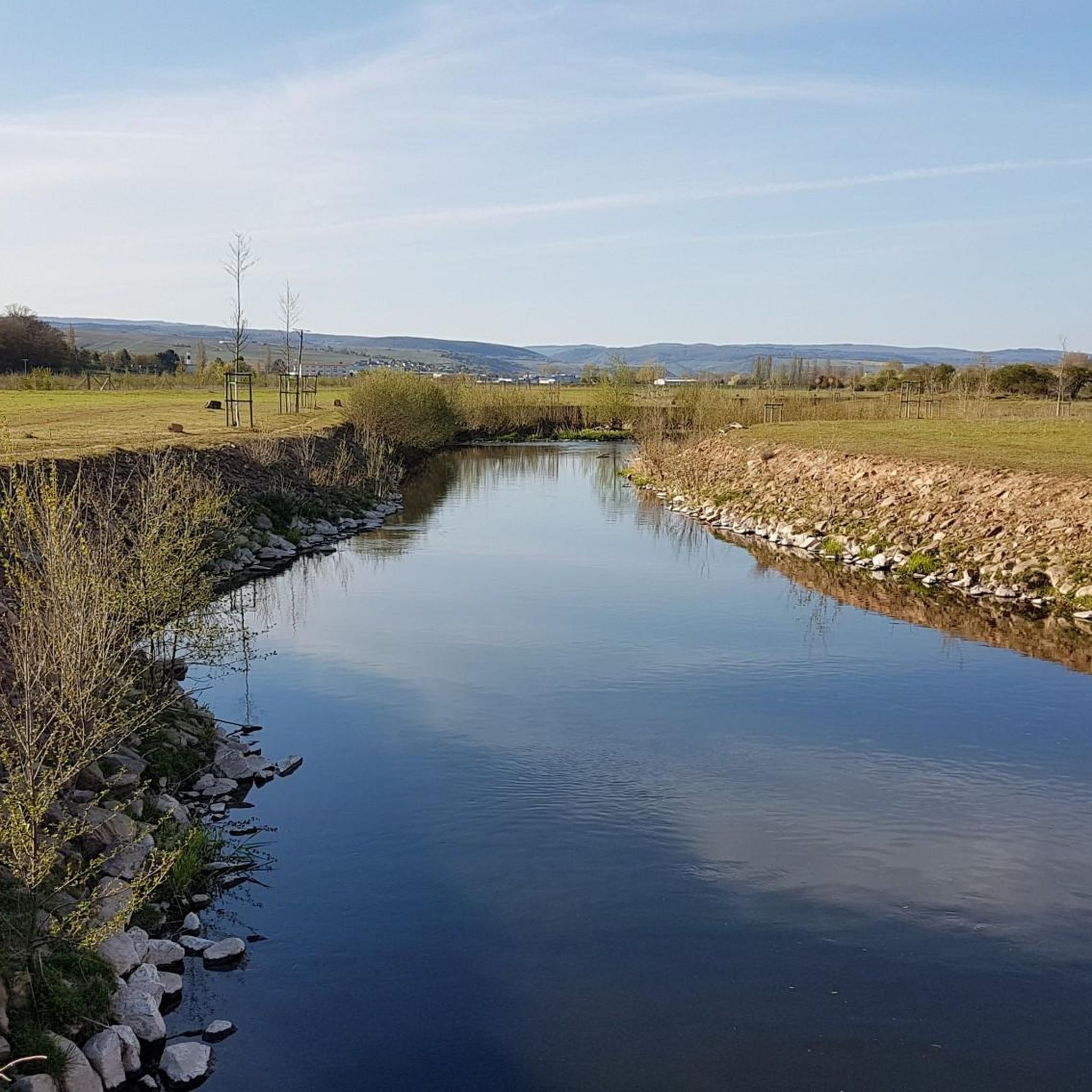
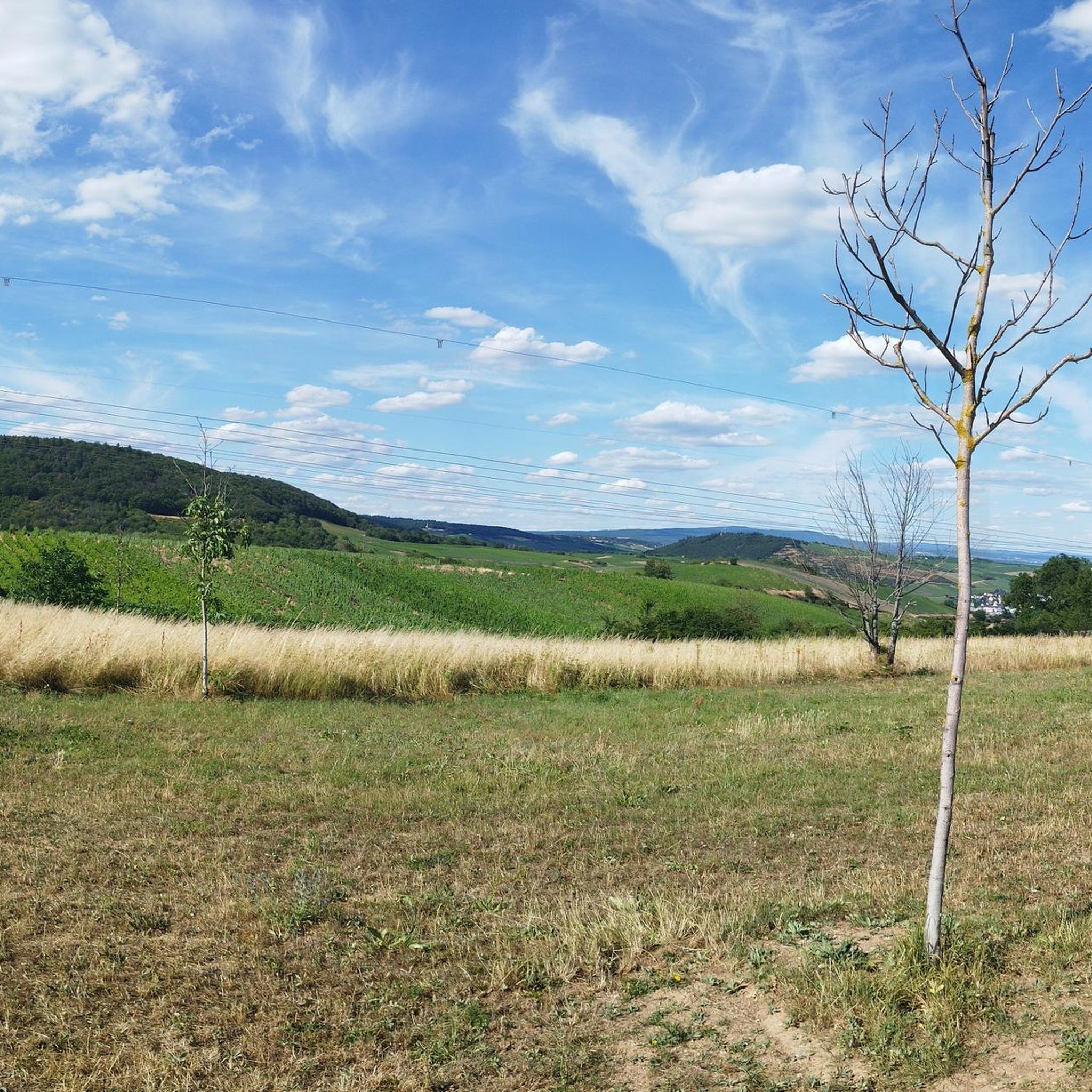
Road cycling routes in Untere Nahe traverse a diverse landscape, characterized by rolling hills, river valleys, and dramatic rock formations. The region, nestled between the Hunsrück and North Palatinate mountains, features extensive vineyards and forests, offering varied terrain for cyclists. Routes often follow the Nahe River, providing both challenging climbs and gentler paths through picturesque scenery. This area is known for its blend of natural beauty and historic towns, making it suitable for a range of road cycling experiences.
Best…
Last updated: October 18, 2026
5.0
(3)
85
riders
Moderate road ride. Good fitness required. Mostly well-paved surfaces and easy to ride.
4.2
(5)
88
riders
65.3km
03:08
830m
830m
Moderate road ride. Good fitness required. Mostly well-paved surfaces and easy to ride.

4.4
(8)
65
riders
51.2km
02:15
370m
370m
Moderate road ride. Good fitness required. Mostly well-paved surfaces and easy to ride.
5.0
(2)
54
riders
Hard road ride. Very good fitness required. Some segments of this route may be unpaved and difficult to ride.
78
riders
Moderate road ride. Good fitness required. Mostly well-paved surfaces and easy to ride.
Get access to more routes and recommendations from other explorers.
Already have an account?
Our route recommendations are based on thousands of hikes, rides, and runs completed by other people on komoot.
Start today with a free account
Your next adventure awaits.
Tips from the Community

A particularly impressive view of the Niederwald Monument opens up from the opposite Bingen cultural bank. From there, you look directly across the wide, glittering current of the Rhine to the steep, sun-drenched vineyard terraces of Rüdesheim. Majestically, high up on the wooded rocky outcrop of the Niederwald, sits the monumental, 12.5-meter-high Germania statue. Especially in the late afternoon hours or at sunset, when the monumental bronze figure shines in the warm, golden light and the silhouette of the monument stands out sharply against the sky, the panorama unfolds its full splendor. The contrast between the lively hustle and bustle on the riverbank, the gentle green of the vines, and the widely visible, historically significant national monument makes this viewpoint an unforgettable experience in the UNESCO World Heritage Upper Middle Rhine Valley.
10
0

It is a wonderful view of the Rheingau (on the right bank of the Rhine) from what the people of Rheingau call the "ebsch Seit", meaning the ugly/unattractive side (of the Rhine). Impressive, next to Ehrenfels Castle, is the Niederwald Monument with the towering statue of Germania. Built in the 1870s to commemorate and celebrate the founding of the German Empire after the Franco-Prussian War (with the proclamation of the German Emperor Wilhelm I in Versailles in 1871).
0
0


Sensational road with even gradient percentages
0
0

Ideal for a photo
0
1
beautiful view but not recommended for eating
0
0

Pretty to look at, historical background, beautiful paths.
0
0
A very nice area for biking.
0
0
Frequently Asked Questions
How many road cycling routes are available in Untere Nahe?
The Untere Nahe region offers a wide selection of road cycling routes, with over 80 tours available on komoot. These routes cater to various skill levels, including easy, moderate, and difficult options.
What is the overall difficulty level of road cycling routes in Untere Nahe?
The road cycling routes in Untere Nahe are quite varied. While there are 6 easy routes and 36 difficult routes, the majority, 47 routes, are considered moderate. This means you can find options ranging from leisurely rides to more challenging climbs through the hilly terrain.
What do other cyclists say about road cycling in Untere Nahe?
The komoot community highly rates road cycling in Untere Nahe, with an average score of 4.8 stars from over 50 reviews. More than 1,400 road cyclists have explored the region, often praising its diverse landscapes, scenic river valleys, and extensive vineyards.
When is the best time of year for road cycling in the Untere Nahe region?
The Untere Nahe region is generally pleasant for road cycling from spring through autumn. The mild climate allows for enjoyable rides through vineyards and along river valleys. Spring brings blooming landscapes, while autumn offers vibrant colors and the grape harvest season.
Are there challenging road cycling routes for experienced riders in Untere Nahe?
Yes, for experienced road cyclists seeking a challenge, the Untere Nahe region provides demanding routes. The hilly terrain, including areas like the Soonwald, features significant elevation gains and winding roads. An example of a challenging route is the Falkenstein Castle Ruins – Falkenstein Gorge loop from Münster-Sarmsheim, which covers over 120 km with substantial climbing.
Can beginners or families find easy road cycling routes in Untere Nahe?
Absolutely. The Nahe Cycle Path, a central feature of the region, offers mostly flat and well-paved sections suitable for all fitness levels, including beginners and families. While specific family-friendly road cycling routes are not explicitly listed, the easier sections of the Nahe Cycle Path provide a gentle introduction to the region's beauty.
What scenic viewpoints or natural landmarks can I expect to see along the road cycling routes?
Road cycling routes in Untere Nahe often pass by impressive natural landmarks. You can expect views of the prominent Rotenfels, the largest sheer rock face north of the Alps, and the picturesque Nahe River valley. Other highlights include the Nahe Cycle Path itself, and the Stone Arch Bridge in Bretzenheim.
Are there historical sites or charming towns to explore on a road cycling tour?
Yes, the region is rich in history and charming towns. Routes often wind through medieval towns like Bacharach, with its old city fortifications and Stahleck Castle. You might also encounter sights such as Oberstein Castle, the picturesque bridge houses in Bad Kreuznach, or the Historic Water Tower in Bretzenheim.
Are there road cycling routes that focus on the region's wine culture?
The Untere Nahe is a renowned wine-growing area, and many road cycling routes traverse its extensive vineyards. The 'Nahe Wine Route' offers an immersive experience, allowing cyclists to pass by numerous wineries, wine taverns, and estate taverns, perfect for experiencing local wine culture.
Are there loop routes available for road cyclists in Untere Nahe?
Yes, many road cycling routes in Untere Nahe are designed as loops, offering convenient starting and ending points. Examples include the popular View of Rotenfels – View of the River Nahe loop from Bretzenheim (Nahe) and the Stromburg Castle in Stromberg – Schanzerkopf loop from Münster-Sarmsheim.
Can I find cafes, pubs, or accommodation along the road cycling routes in Untere Nahe?
The Untere Nahe region is well-equipped with amenities for cyclists. Especially along the Nahe River and through the wine-growing areas, you'll find numerous wineries, wine taverns, and estate taverns offering refreshments. Charming towns and villages along the routes also provide cafes, pubs, and accommodation options.
Is public transport an option for accessing road cycling routes in Untere Nahe?
Public transport options, including regional trains and buses, can be utilized to access various points along the Nahe River and within the broader Untere Nahe region. This allows for flexibility in planning your road cycling tours, including point-to-point routes or reaching specific starting locations.
Where can I find parking for road cycling routes in Untere Nahe?
Parking is generally available in the towns and villages that serve as common starting points for road cycling routes in Untere Nahe. Larger towns like Bad Kreuznach or Bingen, often located along the Nahe River, typically offer designated parking areas suitable for cyclists.
Most popular routes in Untere Nahe
Most popular attractions in Untere Nahe

Get inspired with the komoot mobile app


Explore more
Browse the best Road cycling routes in other regions.
