Nsg Gans Und Rheingrafenstein
Nsg Gans Und Rheingrafenstein
The best walks and hikes in Nsg Gans Und Rheingrafenstein
4.6
(16238)
60,810
hikers
13
hikes
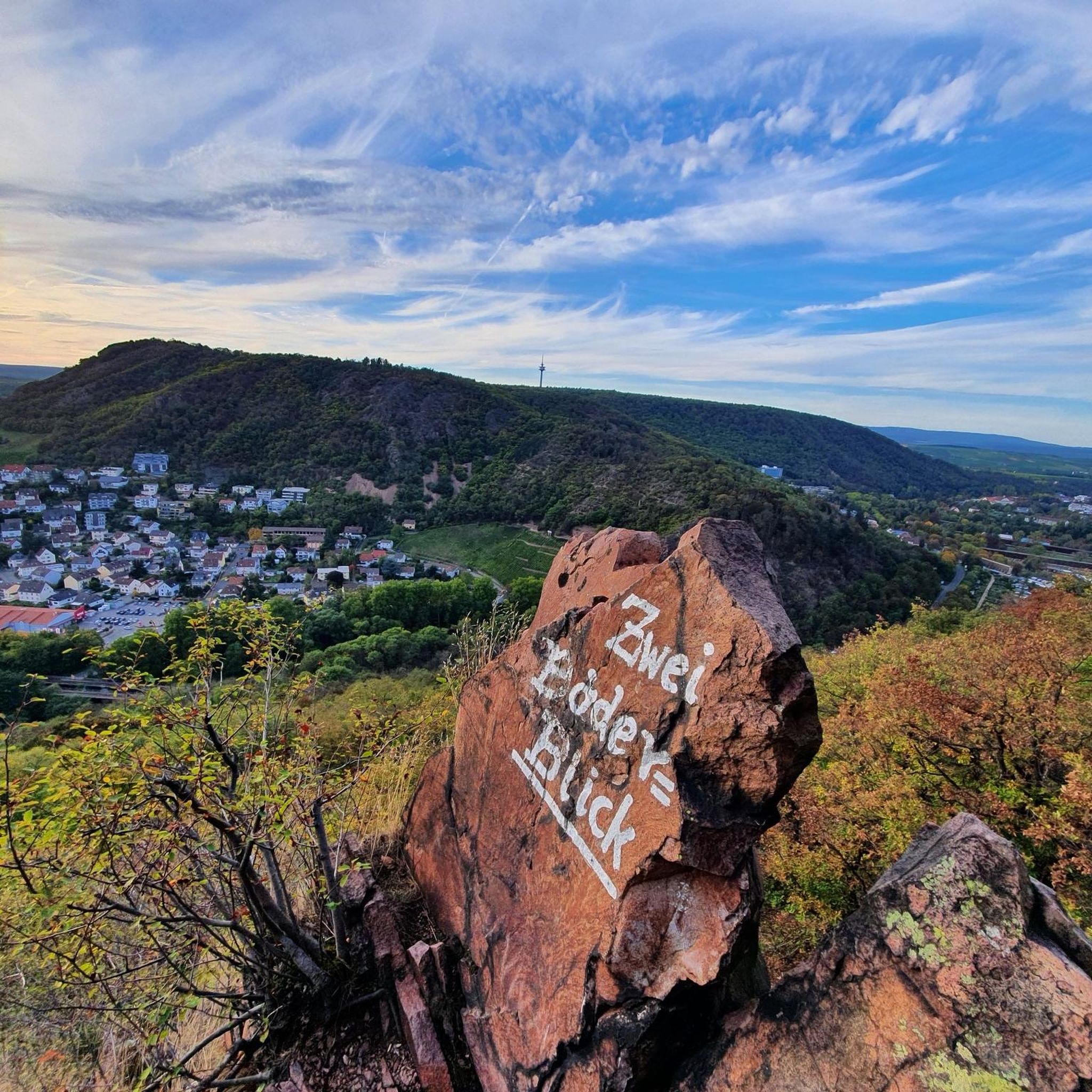
Hiking in Nsg Gans Und Rheingrafenstein features a landscape characterized by dramatic porphyry rock formations, including the prominent Rheingrafenstein Rock and the goose-shaped Gans. The Nahe River has carved a deep valley through the area, contributing to its unique geological setting. This nature reserve offers varied terrain, encompassing forests, meadows, and a microclimate that supports diverse flora and fauna.
Best hiking trails in Nsg Gans Und Rheingrafenstein
- The most popular hiking route is Classic Tour Rheingrafenstein, a 5.9 miles…
Last updated: July 1, 2026
4.9
(288)
919
hikers
12.7km
03:49
330m
330m
Moderate hike. Good fitness required. Mostly accessible paths. Sure-footedness required.
4.5
(12)
206
hikers
Easy hike. Great for any fitness level. Easily-accessible paths. Suitable for all skill levels.

Sign up for free
5.0
(1)
52
hikers
Easy hike. Great for any fitness level. Easily-accessible paths. Suitable for all skill levels.
4.3
(3)
33
hikers
Easy hike. Great for any fitness level. Easily-accessible paths. Suitable for all skill levels.
4.8
(4)
24
hikers
Easy hike. Great for any fitness level. Easily-accessible paths. Suitable for all skill levels.
Get access to more routes and recommendations from other explorers.
Sign up for free
Already have an account?
Our route recommendations are based on thousands of hikes, rides, and runs completed by other people on komoot.
Start today with a free account
Your next adventure awaits.
Login or Signup
Popular around Nsg Gans Und Rheingrafenstein

Other adventures in Nsg Gans Und Rheingrafenstein

Tips from the Community

The impressive graduation works in Salinental provide a real North Sea feeling in the middle of Rhineland-Palatinate with their salty air. Perfect for a relaxing break and a deep breath of fresh brine air.
0
0

A little sure-footedness and no flip-flops.. then it's fine
8
0

A beautiful trail for mountain bikers and hikers leads to this beautiful viewpoint with a bench.
1
0

Great view of the Ebernburg
1
0

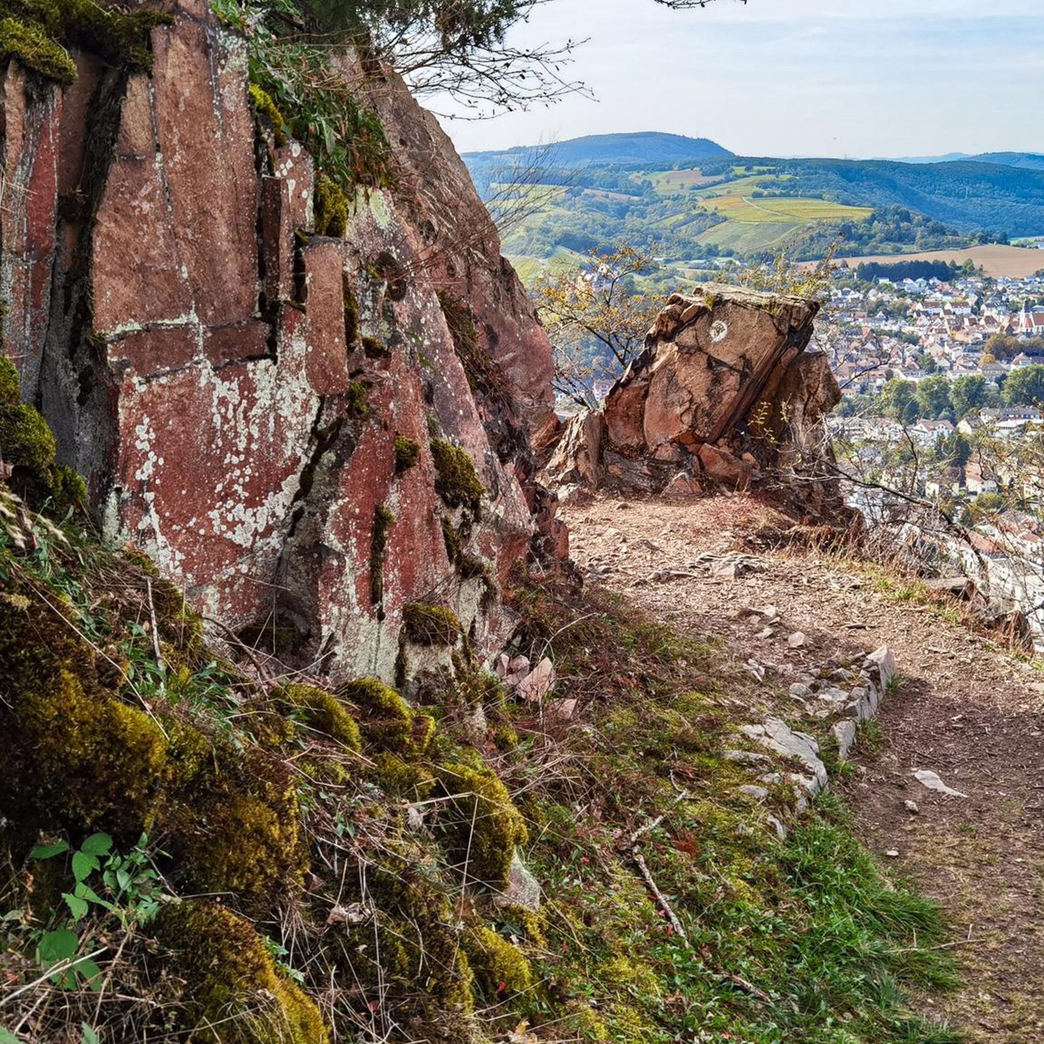
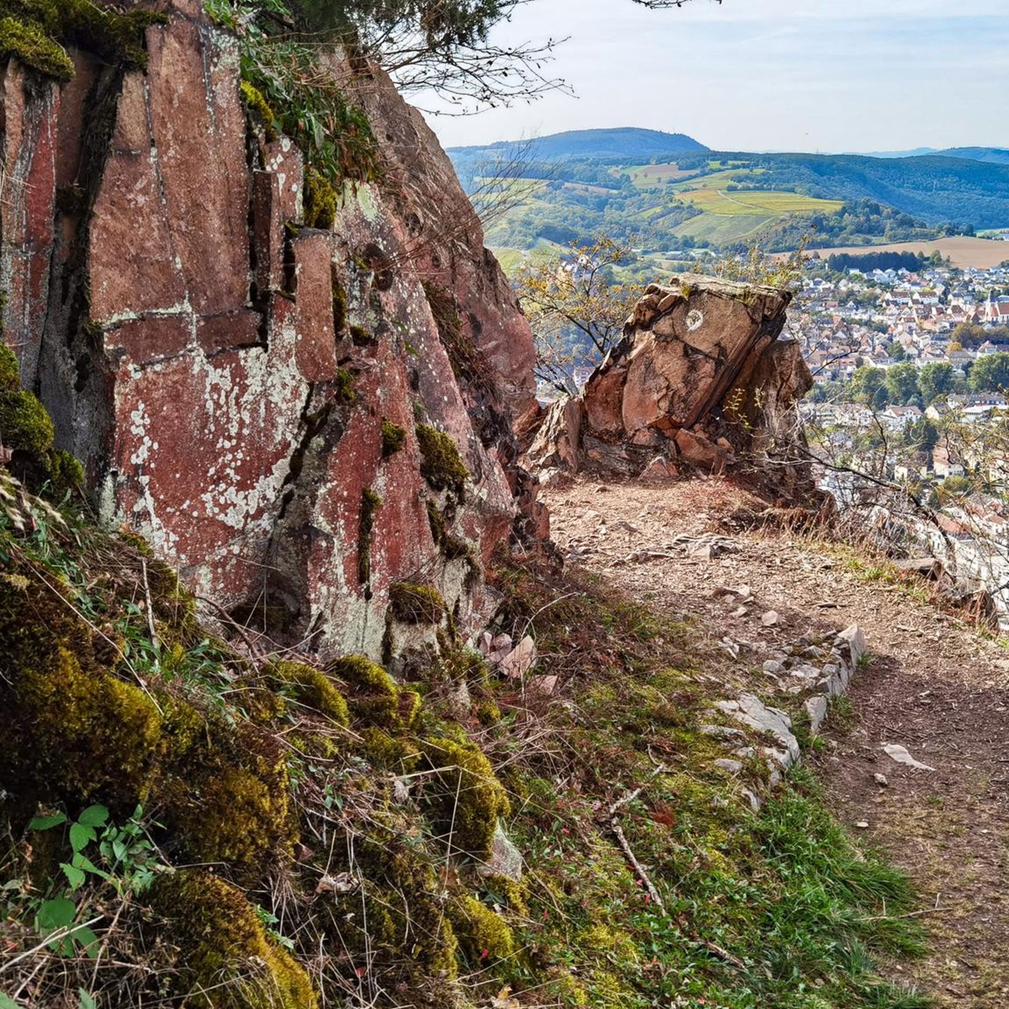
Beautiful reddish rock on the panoramic trail
1
0

It's just a shame that this pretty little cave is apparently being used by many as a trash can. That really shouldn't be the case!
1
0
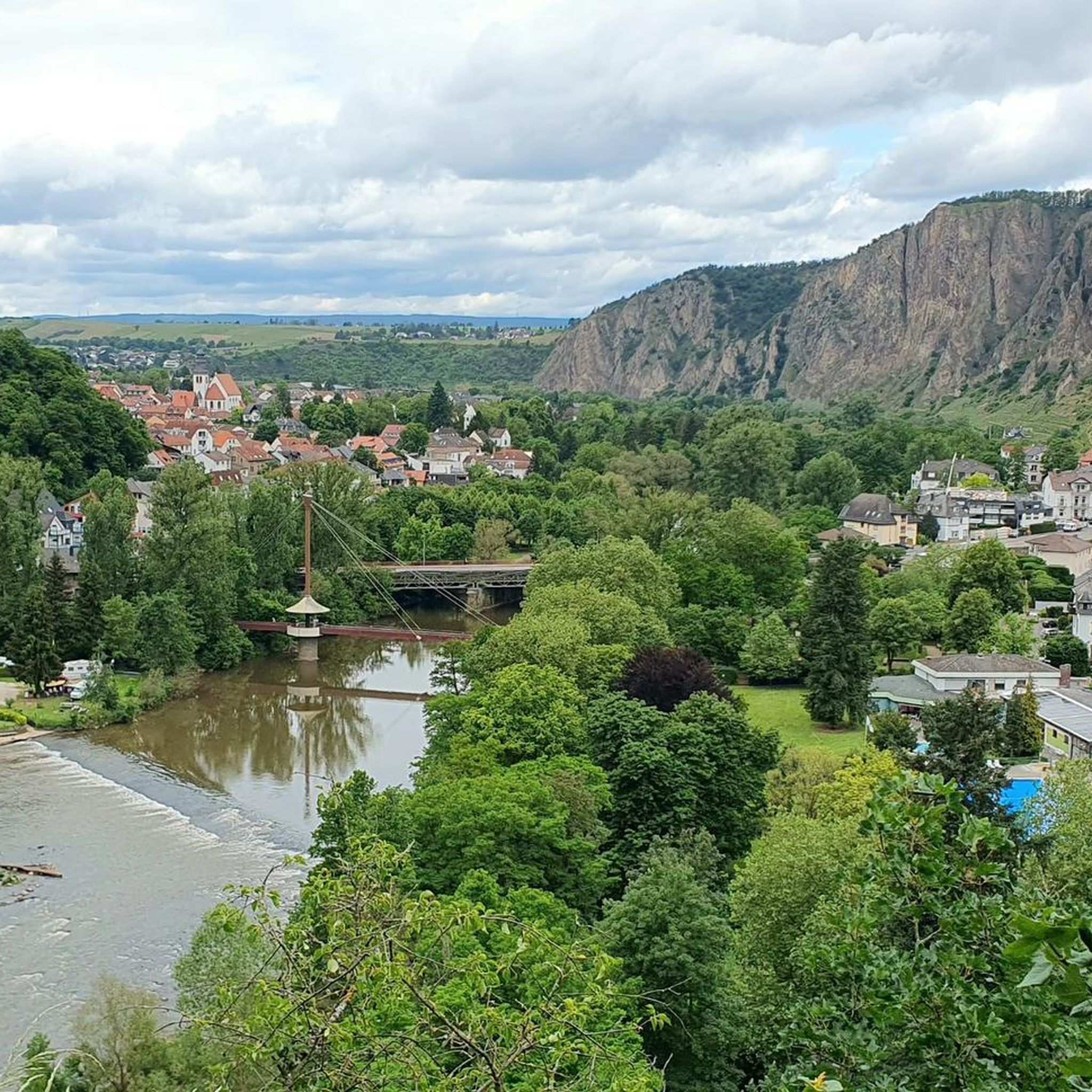
Bad Münster am Stein is beautifully situated between the Rotenfels and Rheingrafenstein mountains. The area surrounding Bad Münster is a fantastic hiking area.
1
0

Beautiful views in various directions... unfortunately, part of the ruins is cordoned off for safety reasons...
1
0
Frequently Asked Questions
How many hiking trails are available in Nsg Gans Und Rheingrafenstein?
Nsg Gans Und Rheingrafenstein offers a wide variety of hiking opportunities, with over 940 trails to explore. This includes routes suitable for all skill levels, from easy strolls to more challenging treks.
What kind of terrain can I expect when hiking in Nsg Gans Und Rheingrafenstein?
The terrain in Nsg Gans Und Rheingrafenstein is quite varied and dramatic. You'll encounter impressive porphyry rock formations, including the steep Rheingrafenstein Rock and the striking Gans. Trails often follow the scenic Nahe River valley and wind through a mix of forests and meadows. Some sections can be rocky and uneven, requiring sure-footedness, and certain paths may involve scrambling.
What historical sites or landmarks can I see while hiking?
Hikers can discover several historical landmarks. The most prominent are the ruins of Schloss Rheingrafenstein, an 11th-century castle perched atop a rocky hill, offering stunning panoramic views. You might also encounter the Affenstein Castle Ruins in the vicinity.
Are there any circular hiking routes in Nsg Gans Und Rheingrafenstein?
Yes, there are many circular routes available. For example, the View of the Rotenfels – View of Rheingrafenstein Castle loop from Bad Kreuznach is a popular choice, offering varied terrain and castle views. Another option is the View of Ebernburg Castle – Rheingrafenstein Castle Ruins loop from Bad Münster am Stein-Ebernburg.
What natural features make Nsg Gans Und Rheingrafenstein unique?
The region is characterized by its dramatic porphyry rock formations, such as the Rheingrafenstein Rock and the goose-shaped Gans, which rise steeply from the Nahe River. The Nahe River itself has carved a deep valley, creating a unique geological setting. This area also boasts a special Mediterranean-like microclimate, supporting rare flora like rock maple and fringed pink, and diverse fauna including emerald lizards and rare butterflies.
Are there hiking options suitable for families or beginners?
Absolutely. While some trails involve rocky sections, Nsg Gans Und Rheingrafenstein offers a good selection of easier routes. Out of over 940 trails, more than 610 are rated as easy, making them suitable for families or those new to hiking. These paths often provide a gentler introduction to the region's natural beauty.
What do other hikers enjoy most about hiking in Nsg Gans Und Rheingrafenstein?
The area is highly rated by the komoot community, with an average score of 4.6 stars from over 13,500 reviews. Hikers frequently praise the dramatic rock formations, the scenic views of the Nahe Valley, and the diverse natural landscape. The well-maintained trails and the unique geological features are often highlighted as key attractions.
Is Nsg Gans Und Rheingrafenstein accessible by public transport?
Yes, the region is generally well-connected. Towns like Bad Kreuznach and Bad Münster am Stein-Ebernburg, which serve as common starting points for hikes, have train stations and bus connections. It's advisable to check local timetables for the most current information on routes and schedules to plan your journey effectively.
Are there any challenging trails for experienced hikers?
Yes, for those seeking a more strenuous experience, there are challenging trails available. While the majority are moderate, 25 routes are classified as difficult. These often feature steeper ascents, rocky paths, and potentially some scrambling sections, providing a good test for experienced hikers.
Are there places to eat or relax near the hiking trails?
After a hike, you can find options for relaxation and refreshments. The Kurpark Bad Kreuznach, often a starting or ending point for trails, offers serene gardens. Additionally, the nearby Altenbaumburg castle provides gastronomic options, making it a suitable spot for a break during longer hikes.
What is the best time of year to go hiking in Nsg Gans Und Rheingrafenstein?
Due to its Mediterranean-like microclimate, Nsg Gans Und Rheingrafenstein is pleasant for hiking during much of the year. Spring brings blooming flora, while autumn offers vibrant colors. Summer is also popular, but it's wise to start early to avoid the midday heat. Winter hiking is possible, but some paths might be slippery or require extra caution due to frost or snow.
Can I bring my dog on the hiking trails?
Generally, dogs are welcome on most hiking trails in Nsg Gans Und Rheingrafenstein. However, as it is a nature reserve, it's important to keep dogs on a leash to protect the local wildlife and rare plant species. Always be mindful of other hikers and follow any posted regulations.
Most popular routes in Nsg Gans Und Rheingrafenstein
Most popular attractions in Nsg Gans Und Rheingrafenstein

Get inspired with the komoot mobile app


Explore more
Browse the best Hikes in other regions.
