The best MTB trails in Wasenbacher Höhe
4.5
(1216)
1,950
riders
181
rides
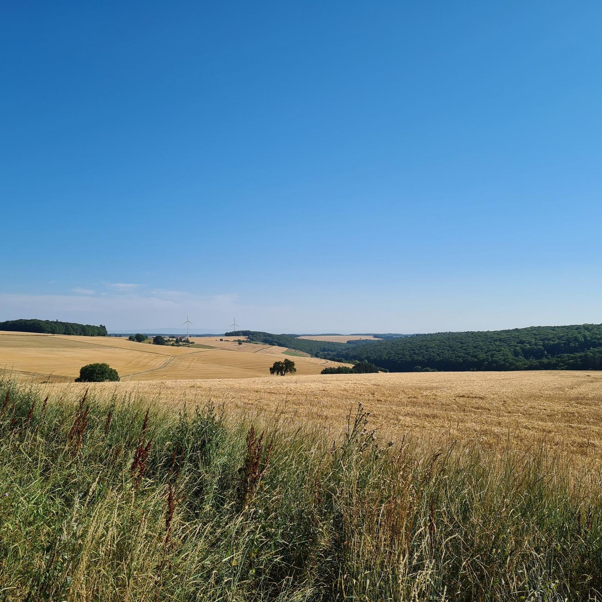
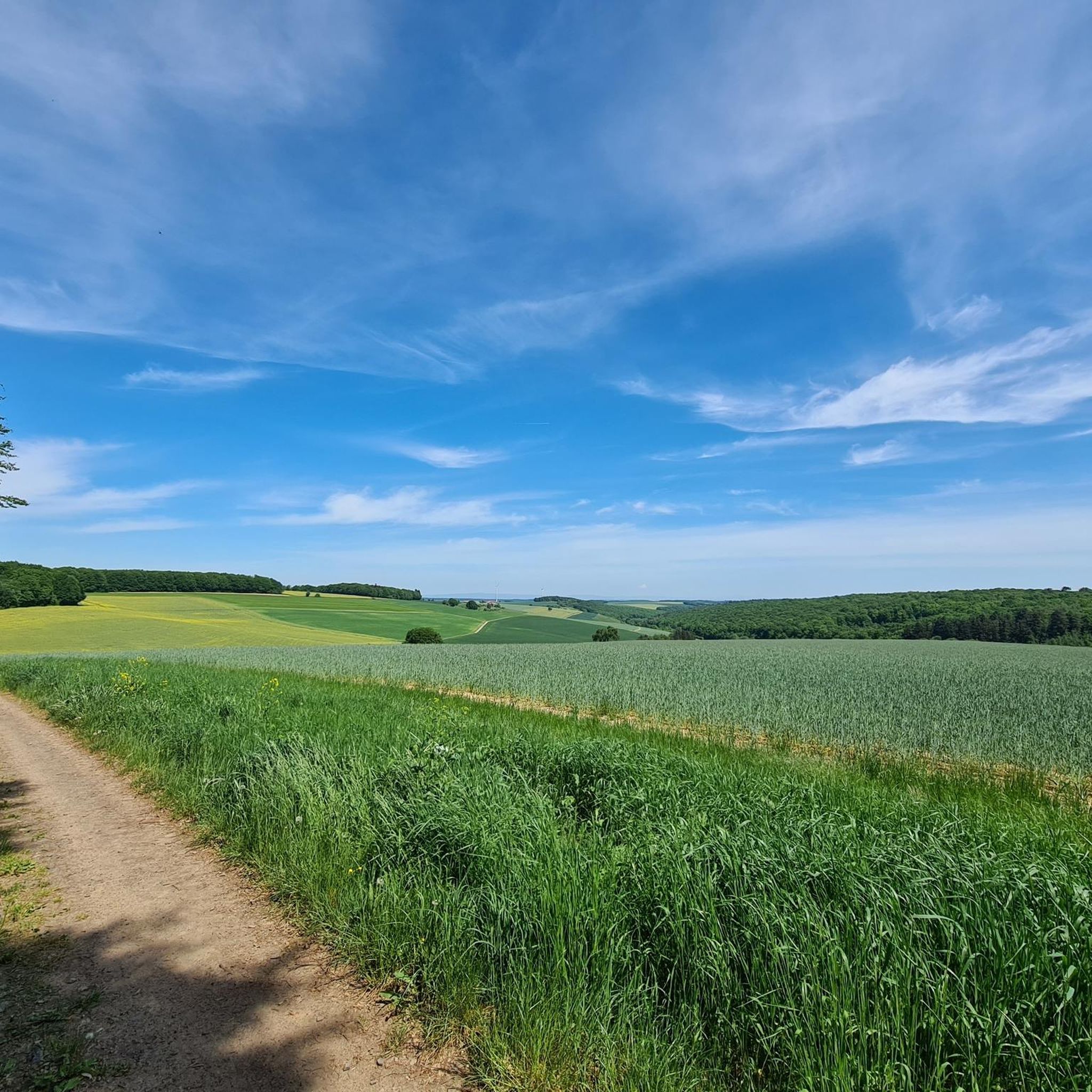
Mountain bike trails in the region of Wasenbacher Höhe are characterized by varied terrain within the broader Palatinate Forest (Pfälzerwald) and Donnersbergkreis. This area features natural deciduous forests and rolling hills, providing a mix of ascents and descents. While the Wasenbacher Höhe nature reserve itself is protected with restricted access for ecological preservation, the surrounding landscape offers numerous mountain bike routes. The terrain often includes forest paths and open views across the Wiesbachtal.
Best mountain bike trails in Wasenbacher Höhe
…Last updated: July 1, 2026
3.0
(1)
5
riders
28.0km
01:57
340m
340m
Moderate mountain bike ride. Good fitness required. Suitable for all skill levels.
5.0
(1)
4
riders
27.7km
01:46
280m
280m
Easy mountain bike ride. Great for any fitness level. Suitable for all skill levels.

Sign up for free
2
riders
19.2km
01:34
360m
360m
Moderate mountain bike ride. Good fitness required. Suitable for all skill levels.
4.0
(2)
4
riders
13.5km
00:58
170m
170m
Easy mountain bike ride. Great for any fitness level. Suitable for all skill levels.
5.0
(3)
4
riders
32.6km
02:18
390m
390m
Moderate mountain bike ride. Good fitness required. Advanced riding skills necessary.
Get access to more routes and recommendations from other explorers.
Sign up for free
Already have an account?
Our route recommendations are based on thousands of hikes, rides, and runs completed by other people on komoot.
Start today with a free account
Your next adventure awaits.
Login or Signup
Tips from the Community


Beautifully designed restoration area along approx. 1100 m of the Selz river course with everything that characterizes a natural watercourse.
0
0
The Selz River is the hydrographic axis of Rheinhessen. It flows for over 60 km in a large arc through Rheinhessen before emptying into the Rhine near Ingelheim. Hiking trails and a continuous cycle path (Selztal Cycle Path) run along the Selz. Anyone hiking in Rheinhessen should visit the source of the Selz. Cycling along the Selz also offers a beautiful cross-section of the Rheinhessen landscape.
0
0


A fantastic view of the Donnersberg, and fairly hidden from the road to Kirchheimbolanden. It's best to leave your bike at the bottom and walk up rather than ride.
0
0


Nice rest area. There is an arm-kneipp basin available there, unfortunately broken
0
0
Frequently Asked Questions
Are there any restrictions for mountain biking in the Wasenbacher Höhe area?
Yes, the Wasenbacher Höhe itself is designated as a nature reserve with strict conservation regulations. Entering the core area is forbidden to protect its natural deciduous forests and endangered species. However, the surrounding landscape within the broader Palatinate Forest (Pfälzerwald) and Donnersbergkreis offers numerous mountain bike routes that are accessible.
How many mountain bike trails are available in the Wasenbacher Höhe region?
The Wasenbacher Höhe region, encompassing the surrounding areas, features over 180 mountain bike trails. These routes are highly rated by the komoot community, with an average score of 4.5 stars from over 1000 reviews.
What kind of terrain can I expect on mountain bike trails near Wasenbacher Höhe?
The terrain in the Wasenbacher Höhe region is characterized by varied landscapes within the Palatinate Forest and Donnersbergkreis. You can expect natural deciduous forests, rolling hills, and a mix of ascents and descents. Many routes follow forest paths and offer open views, particularly across the Wiesbachtal.
What are the difficulty levels of mountain bike trails in the Wasenbacher Höhe region?
The trails in this region cater to various skill levels. There are 43 easy routes, 138 moderate routes, and 6 more challenging routes, ensuring options for beginners to experienced mountain bikers.
Are there any loop mountain bike routes in the Wasenbacher Höhe region?
Yes, many of the mountain bike routes in the region are designed as loops, allowing you to start and end at the same point. For example, the View of Donnersberg – Weir on the Wiesbach/Mühlbach loop from Kriegsfeld is a popular moderate loop trail.
Are the mountain bike trails in the Wasenbacher Höhe region suitable for families?
While the region offers a range of difficulties, there are 43 easy routes that can be suitable for families. For instance, the View of the Wiesbachtal – View of Oberwiesen loop from Oberwiesen is an easy 13.5 km loop that might be a good option for a family outing.
Can I bring my dog on the mountain bike trails near Wasenbacher Höhe?
Generally, dogs are welcome on most public trails in the Palatinate Forest region, provided they are kept on a leash, especially in forested areas and near wildlife. Always be mindful of local regulations and other trail users.
What do other mountain bikers enjoy the most about mountain biking in the Wasenbacher Höhe region?
The area is highly rated by the komoot community, with an average score of 4.5 stars. Reviewers often praise the varied terrain, the scenic views of the Wiesbachtal, and the peaceful atmosphere of the deciduous forests. The network offers a good mix of challenges and enjoyable rides.
Are there any specific viewpoints or natural features to look out for on the trails?
Many routes offer scenic views, such as the View of the Wiesbachtal – Aulheimer Valley loop from Oberwiesen, which provides extensive views of the Wiesbachtal. You can also find trails that follow streams, like the
What is the best time of year to go mountain biking in the Wasenbacher Höhe region?
The region's deciduous forests make spring and autumn particularly appealing for mountain biking. In spring, the fresh greenery emerges, and in autumn, the foliage displays vibrant colors. Summer offers warmer weather, while winter can be challenging due to potential snow or ice, though some trails may still be rideable depending on conditions.
Where can I find parking for mountain biking in the Wasenbacher Höhe region?
Parking is typically available in the villages and towns surrounding the Wasenbacher Höhe nature reserve, such as Kriegsfeld and Oberwiesen, which serve as common starting points for many trails. Always check local signage for specific parking regulations.
Are there any cafes or pubs near the mountain bike trails for a break?
While the immediate nature reserve is protected, the surrounding villages like Kriegsfeld and Oberwiesen, where many trails begin or pass through, often have local eateries, cafes, or pubs where you can stop for refreshments after your ride.
Most popular routes in Wasenbacher Höhe

Get inspired with the komoot mobile app


Explore more
Browse the best MTB trails in other regions.
