The best walks and hikes in Hammer Aue Von Gernsheim Und Groß-Rohrheim
4.5
(3411)
12,549
hikers
591
hikes
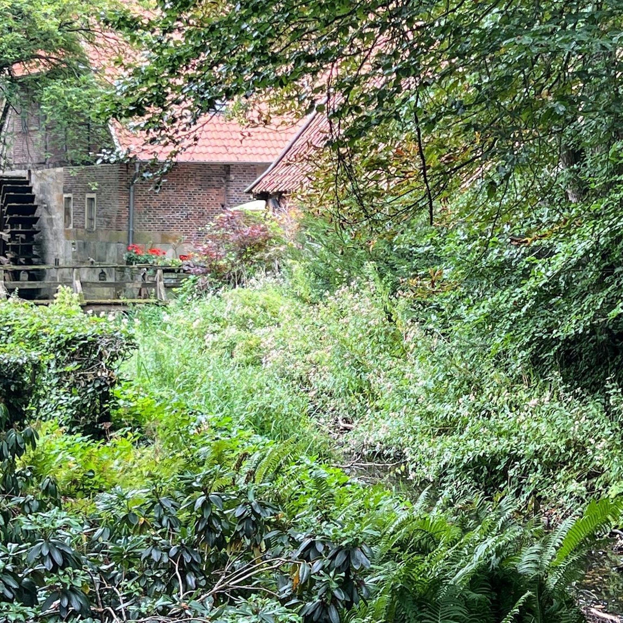
Hiking in Hammer Aue Von Gernsheim Und Groß-Rohrheim offers routes through a designated nature reserve and Fauna-Flora-Habitat area. The region is characterized by its Rhine floodplains, featuring a mix of open land, diverse riparian forests, and various water bodies. Hikers will encounter meadow landscapes and distinctive pollard willows, with generally flat terrain and minimal elevation changes. This area provides a natural setting for experiencing the Rhine's riparian ecosystem.
Best hiking trails in Hammer Aue Von Gernsheim Und Groß-Rohrheim
- The most…
Last updated: October 18, 2026
4.9
(11)
31
hikers
Easy hike. Great for any fitness level. Easily-accessible paths. Suitable for all skill levels.
5.0
(7)
17
hikers
Easy hike. Great for any fitness level. Easily-accessible paths. Suitable for all skill levels.

5.0
(1)
14
hikers
5.64km
01:25
10m
10m
Easy hike. Great for any fitness level. Easily-accessible paths. Suitable for all skill levels.
5.0
(1)
11
hikers
4.27km
01:05
10m
0m
Easy hike. Great for any fitness level. Easily-accessible paths. Suitable for all skill levels.
4.9
(17)
60
hikers
Moderate hike. Good fitness required. Easily-accessible paths. Suitable for all skill levels.
Get access to more routes and recommendations from other explorers.
Already have an account?
Our route recommendations are based on thousands of hikes, rides, and runs completed by other people on komoot.
Start today with a free account
Your next adventure awaits.
Popular around Hammer Aue Von Gernsheim Und Groß-Rohrheim
Tips from the Community


Beautiful, quiet path directly on the Rhine riverbank. Often busy on Sundays
0
0

On August 4, 2018, a new project area for the Auerrind project was inaugurated in the nature reserve „Hammer Aue“ in Groß-Rohrheim as part of a festive ceremony. With the support of private donors, the Bergstraße district, the higher nature conservation authority, the municipality and the local heritage association Heimatverein Groß-Rohrheim, as well as the Förderkreis Große Pflanzenfresser im Kreis Bergstraße e.V., a small breeding group of the Auerrind project will initially be established on ten hectares and will ensure an increase in biodiversity in the areas. As part of the inauguration ceremony, the first two heifers were moved to the project area; the number of animals is to be increased to a total of four over the next four weeks.
2
0
The little house is still well preserved, but unfortunately the bell is missing.
2
0
Myriameter stones were placed around 1870 during the Rhine survey every 10 km on the right and/or left bank. After the straightening of the Upper Rhine, the Rhine Central Commission of the Rhine riparian states decided in 1863 to survey the Rhine from the Mittlere Brücke in Basel to the mouth of the Rhine. Survey markers, the myriameter stones, were erected every 10,000 meters. -->Very good Wikipedia article. and Wikimedia Commons. Usually, they bore a continuous Roman numbering on the river side, below it the height above the Amsterdam gauge. The Hessian stones were an exception; on the river side, only the distance from Basel was given in kilometers (Arabic numerals). On the land side, the distances to Basel and Rotterdam can be read, and on the sides, the distances to or from the state border. There were inconsistencies: at the Baden-Hessian border near Lampertheim and at the Hessian-Prussian border near Bingen, kilometer marker 447 was counted with full kilometers, although about 340 m or 480 m were still missing to the full kilometer: the "short kilometers". In 1939, it was decided to start the Rhine kilometer marking at the middle of the Alte Brücke in Konstanz. The bridge in Basel has been at kilometer 166.66 since then. Each full river kilometer was marked with a large rectangular white sign with black numerals, the 500 m point with a smaller sign with a cross. Narrow signs with the numerals 1-4 and 6-9 denote the intermediate 100-meter points. Before or behind these signs, survey markers are often/mostly attached. These can be hectometer stones of various shapes, but also, for example, metal markers in the ground. According to the Bingen Water and Shipping Authority, the myriameter stones still serve as height control points today.
2
0
Today the beehives are right on the path and it took some courage to walk through the landing areas of the many bees.
1
0
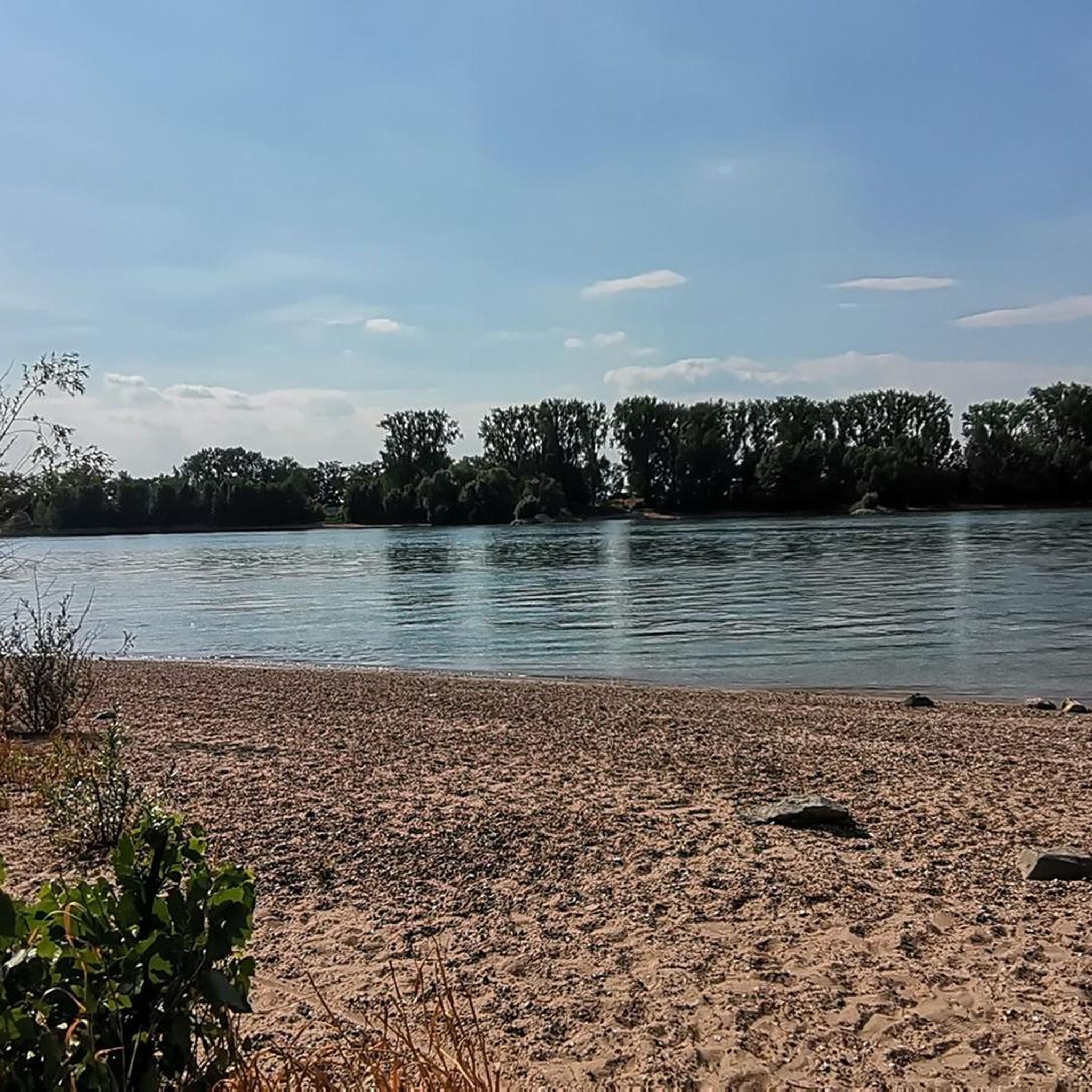
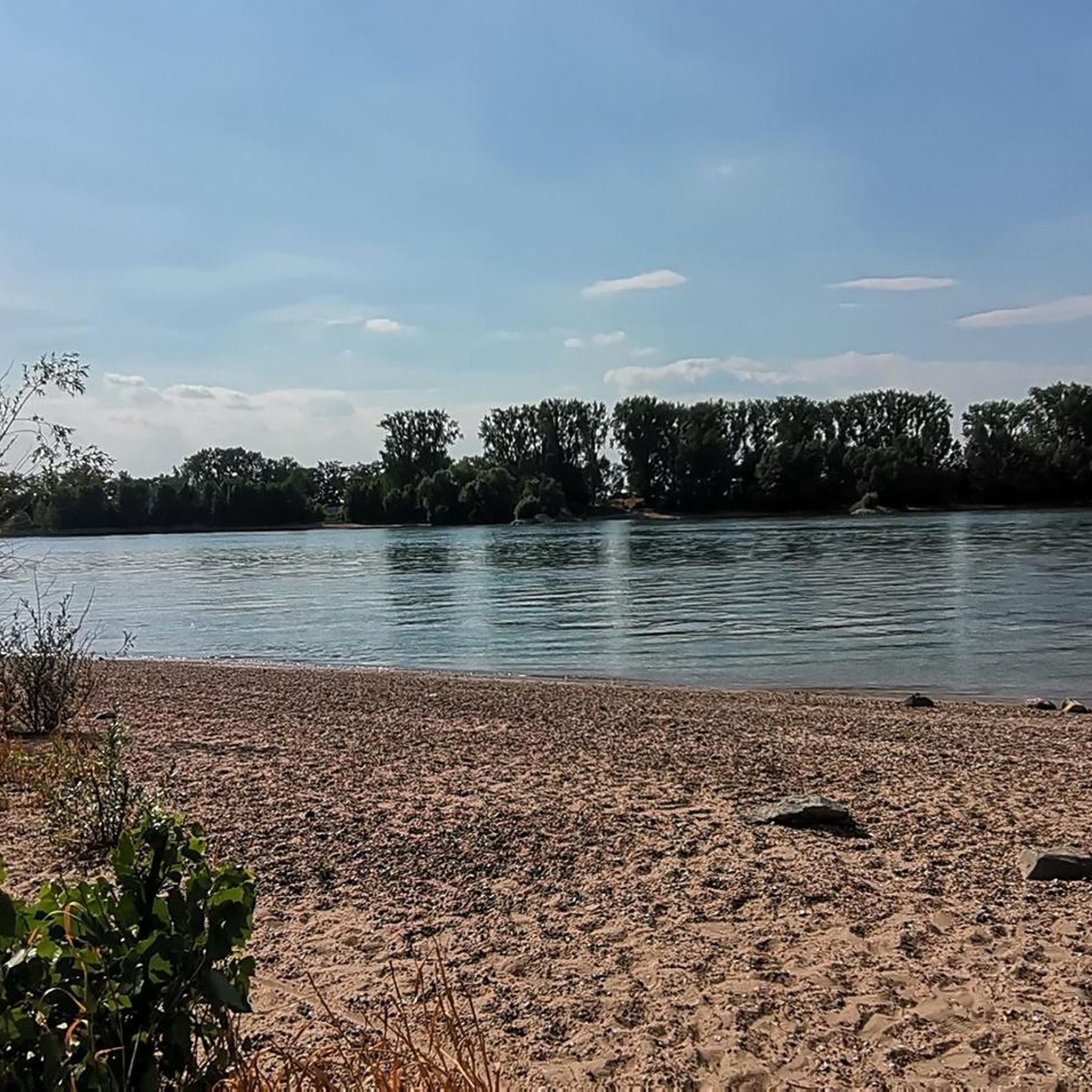
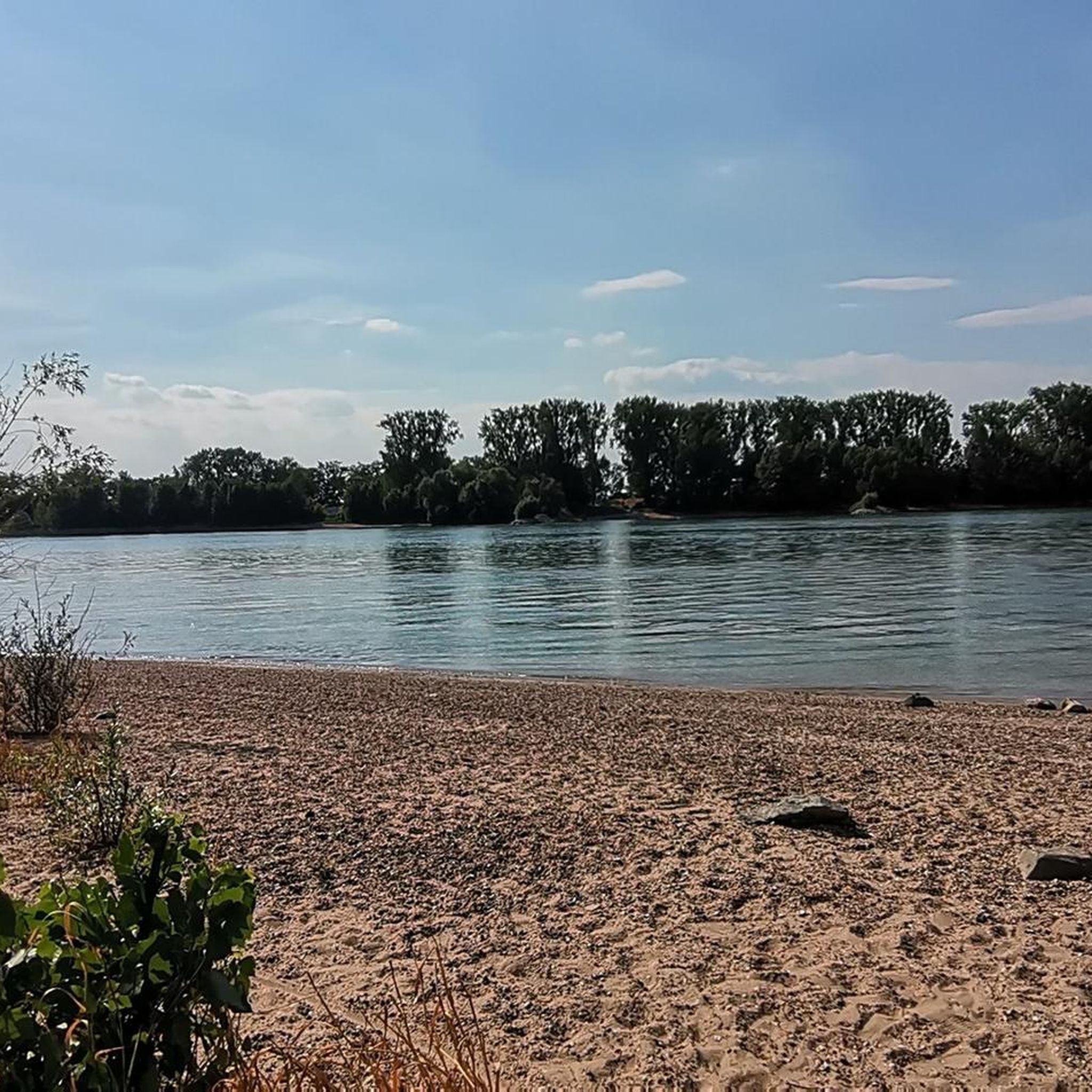
Beautiful small sandy beach on the Rhine behind a Bune.
1
0
Frequently Asked Questions
What kind of terrain can I expect when hiking in Hammer Aue von Gernsheim und Groß-Rohrheim?
The Hammer Aue von Gernsheim und Groß-Rohrheim area is characterized by its Rhine floodplains, offering generally flat terrain with minimal elevation changes. You'll primarily encounter paths through diverse riparian forests, open meadow landscapes, and along various water bodies, making for a gentle hiking experience.
Are there many easy hiking trails suitable for beginners or casual walkers?
Yes, the region is well-suited for easy hikes. Out of over 570 available routes, more than 400 are classified as easy. An example is the Hammer Aue Nature Reserve – Altrheininsel Sandwörth loop from Hamm am Rhein, an easy 4.2 km path that takes you through beautiful meadow landscapes.
What natural features or landmarks can I see along the hiking trails?
Hikers can explore a variety of natural features. The area is known for its Rhine floodplains, diverse riparian forests, and distinctive pollard willows. You might encounter the Rheinauen near Sandwörth with its abundant wildlife, or see the Heck cattle herd that helps maintain the landscape. The Neuloch Pond is another notable water biotope.
Is Hammer Aue von Gernsheim und Groß-Rohrheim a good place for birdwatching?
Absolutely. The Hammer Aue is part of the EU bird sanctuary "Rheinauen bei Biblis und Groß-Rohrheim." Its diverse habitats, including water bodies and riparian forests, serve as a settlement area for numerous bird species and a regular feeding ground, making it an excellent spot for birdwatching.
Are there any circular hiking routes available?
Yes, many routes in the Hammer Aue are circular, allowing you to start and end at the same point. For instance, the Hammer Aue Nature Reserve – Schellhäuschen loop from Hamm am Rhein is an easy 5.6 km circular trail.
What is the best time of year to go hiking in this region?
The Hammer Aue von Gernsheim und Groß-Rohrheim offers pleasant hiking experiences throughout much of the year. Spring and autumn are particularly beautiful, with vibrant flora and fauna or colorful foliage. Summer provides lush green landscapes, while winter can offer tranquil, crisp walks, though some paths might be muddy after rain or snow.
Is the area suitable for family hikes with children?
Yes, the generally flat terrain and numerous easy routes make the Hammer Aue very suitable for families. Trails like the Altrheininsel Sandwörth – Hammer Aue Nature Reserve loop from Hamm am Rhein, a short 3.1 km path, are ideal for walks with children.
Can I bring my dog on the hiking trails?
While the region is a nature reserve, dogs are generally welcome on the trails. However, as it's a protected area with abundant wildlife, it's crucial to keep dogs on a leash to protect the local ecosystem and other visitors. Always be mindful of local signage regarding dog regulations.
How accessible is Hammer Aue von Gernsheim und Groß-Rohrheim by public transport?
The area can be accessed via public transport, particularly to nearby towns like Gernsheim or Groß-Rohrheim. From these points, you can often find connections or start your hike directly. The R6 Cycle Path also runs near Groß-Rohrheim, which can be part of a broader transport plan.
Are there parking facilities available near the trailheads?
Yes, parking facilities are typically available in the vicinity of popular trailheads and access points, especially near towns like Hamm am Rhein or Gernsheim, which serve as common starting points for exploring the Hammer Aue.
What do other hikers enjoy most about hiking in Hammer Aue von Gernsheim und Groß-Rohrheim?
The area is highly rated by the komoot community, with an average score of 4.5 stars from over 2,800 reviews. Reviewers often praise the tranquility of the Rhine floodplains, the rich biodiversity, and the well-maintained, easily accessible paths that allow for immersive experiences in nature.
Are there any specific rules or permits required for hiking in the nature reserve?
As a designated nature reserve and Fauna-Flora-Habitat (FFH) area, general rules apply to protect the environment. This includes staying on marked paths, not disturbing wildlife, and refraining from picking plants. No specific hiking permits are typically required for general access, but always respect local regulations and signage.
Most popular routes in Hammer Aue Von Gernsheim Und Groß-Rohrheim
Most popular attractions in Hammer Aue Von Gernsheim Und Groß-Rohrheim

Get inspired with the komoot mobile app


Explore more
Browse the best Hikes in other regions.
