Streuobst, Kopfeichen Und Quellen Am Hetzleser Berg
Streuobst, Kopfeichen Und Quellen Am Hetzleser Berg
The best cycling routes in Streuobst, Kopfeichen Und Quellen Am Hetzleser Berg
4.5
(5635)
34,924
riders
1,094
rides
Touring cycling in Streuobst, Kopfeichen Und Quellen Am Hetzleser Berg offers routes through a landscape characterized by extensive traditional orchards (Streuobstwiesen) and ancient pollard oaks (Kopfeichen). The region is a Natura 2000 Fauna-Flora-Habitat area, featuring diverse deciduous forests, arid grasslands, and numerous springs (Quellen). The Hetzleser Berg, rising to approximately 550 meters, provides varied topography suitable for cycling.
Best touring cycling routes in Streuobst, Kopfeichen Und Quellen Am Hetzleser Berg
- The most popular touring cycling route is Erlangen Aroma Garden…
Last updated: July 12, 2026
4.2
(10)
35
riders
Hard bike ride. Very good fitness required. Mostly paved surfaces. Suitable for all skill levels.
4.4
(14)
108
riders
25.4km
01:32
130m
130m
Easy bike ride. Great for any fitness level. Mostly paved surfaces. Suitable for all skill levels.

Sign up for free
5.0
(6)
31
riders
25.0km
01:34
270m
270m
Moderate bike ride. Good fitness required. Mostly paved surfaces. Suitable for all skill levels.
4.3
(3)
9
riders
Moderate bike ride. Good fitness required. Mostly paved surfaces. Suitable for all skill levels.
4.2
(5)
29
riders
18.8km
01:13
140m
140m
Easy bike ride. Great for any fitness level. Mostly paved surfaces. Suitable for all skill levels.
Get access to more routes and recommendations from other explorers.
Sign up for free
Already have an account?
Our route recommendations are based on thousands of hikes, rides, and runs completed by other people on komoot.
Start today with a free account
Your next adventure awaits.
Login or Signup
Popular around Streuobst, Kopfeichen Und Quellen Am Hetzleser Berg
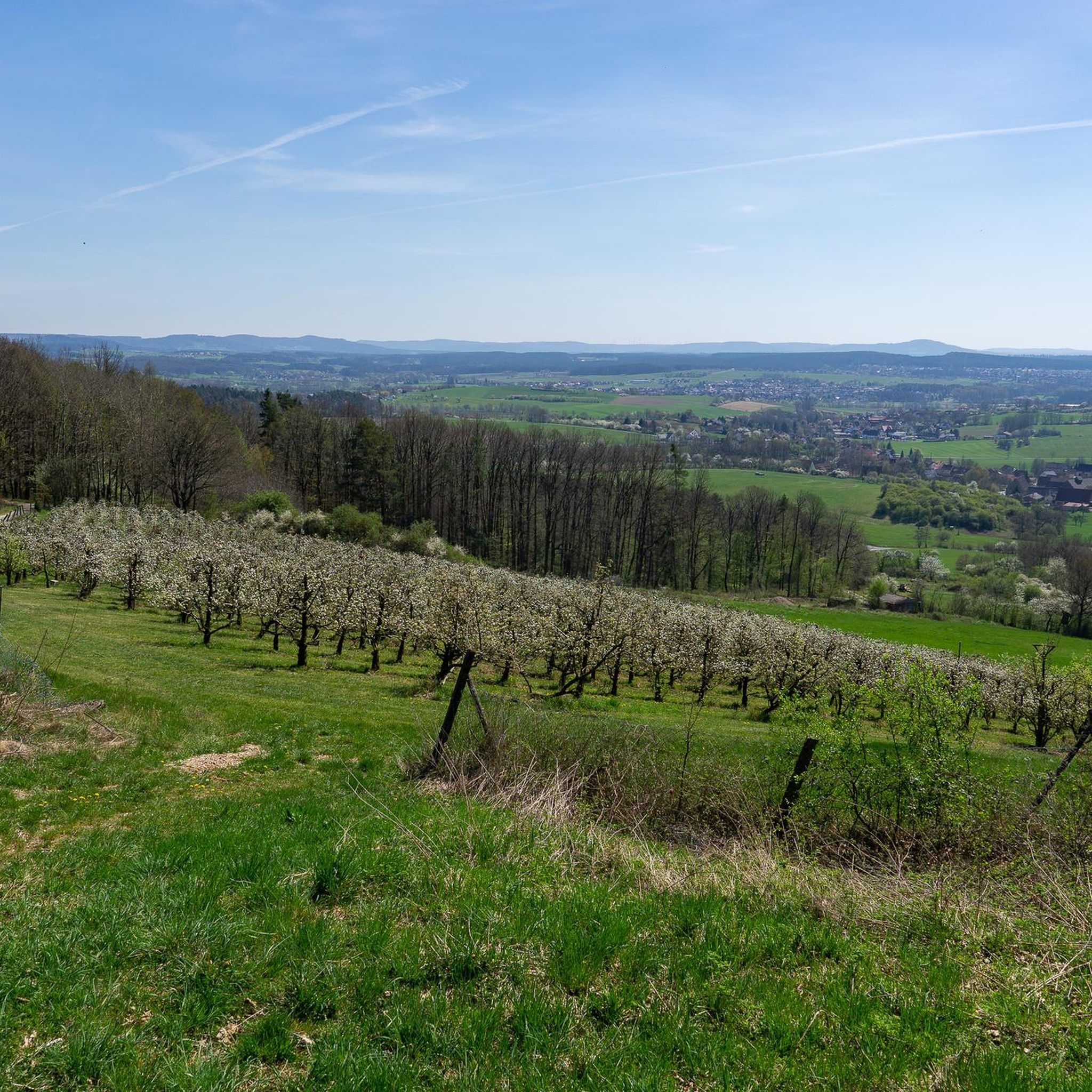
Road Cycling Routes in Streuobst, Kopfeichen Und Quellen Am Hetzleser Berg
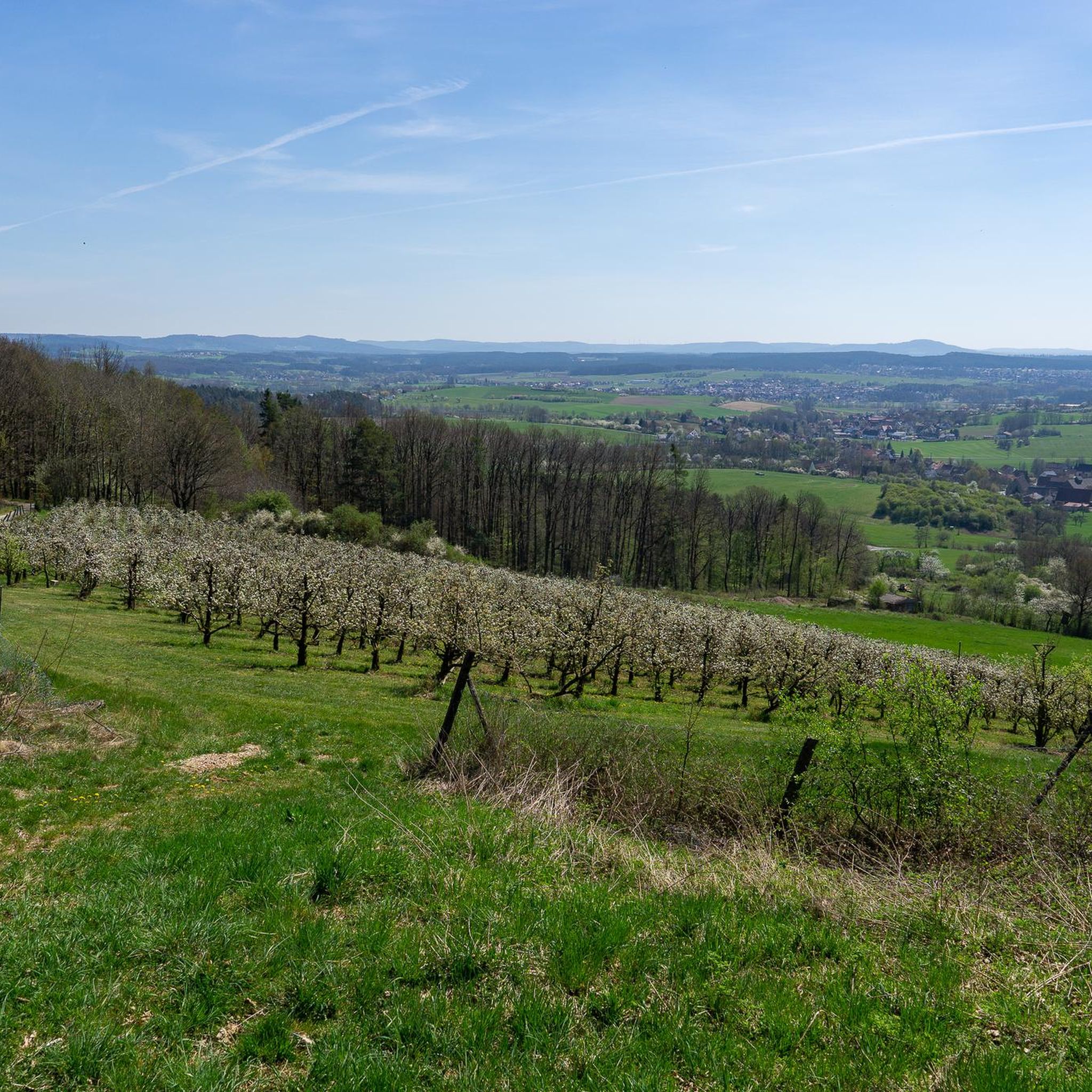
Hiking in Streuobst, Kopfeichen Und Quellen Am Hetzleser Berg
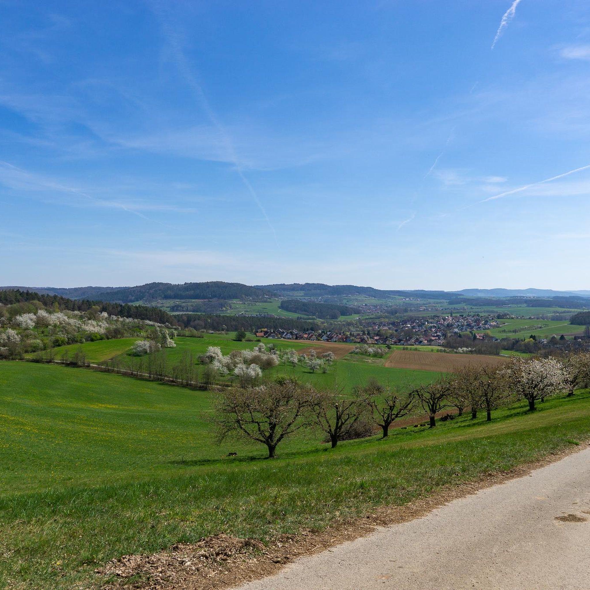
Running Trails in Streuobst, Kopfeichen Und Quellen Am Hetzleser Berg
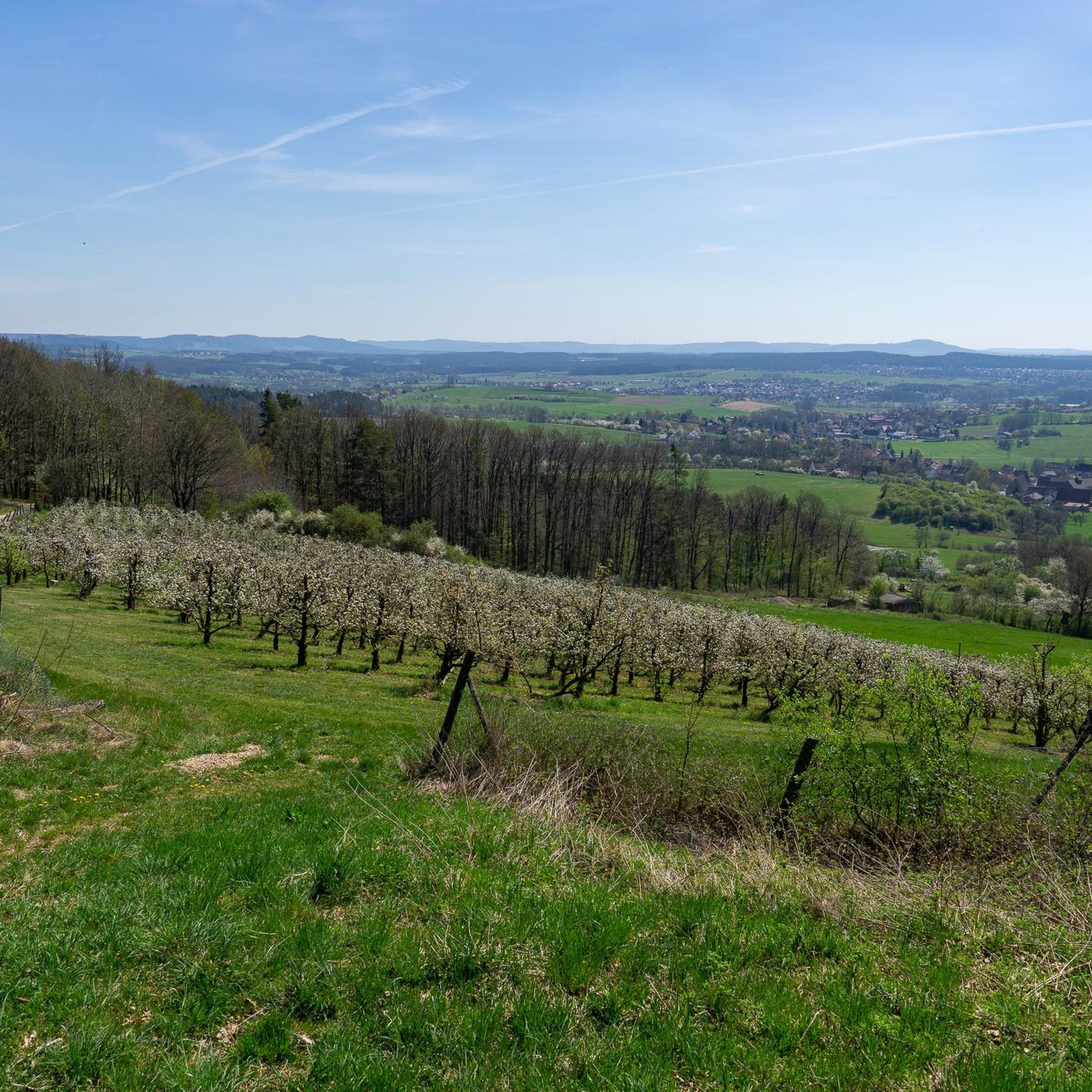
MTB Trails in Streuobst, Kopfeichen Und Quellen Am Hetzleser Berg

Gravel biking in Streuobst, Kopfeichen Und Quellen Am Hetzleser Berg
Mountain Hikes in Streuobst, Kopfeichen Und Quellen Am Hetzleser Berg
Tips from the Community

From here you can see the gently flowing water of the Schwabach and the green banks.
1
0

A beautiful city gate with a good ice cream parlor nearby.
0
0

Uphill and downhill again. Requires a bit of fitness—especially without support 😎
0
0


A market fortification built from a sandstone ashlar wall, unfortunately also with a lot of traffic. Depending on the time of day, you'll need to be careful. ;-)
0
0

Two-storey sandstone block building, marked "1479", with a mansard roof from the 18th century; part of the former monastery and market fortifications (see there) [ Source: https://de.wikipedia.org/wiki/Liste_der_Baudenkm%C3%A4ler_in_Neunkirchen_am_Brand ]
1
0


A beautiful section suitable for racing bikes and without traffic.
0
0
Frequently Asked Questions
How many touring cycling routes are available in Streuobst, Kopfeichen Und Quellen Am Hetzleser Berg?
There are over 1000 touring cycling routes available in Streuobst, Kopfeichen Und Quellen Am Hetzleser Berg, offering a wide variety of options for different skill levels and preferences.
What kind of terrain can I expect on touring cycling routes in Streuobst, Kopfeichen Und Quellen Am Hetzleser Berg?
The terrain is quite varied, characterized by extensive traditional orchards (Streuobstwiesen), species-rich deciduous forests, and arid grasslands. You'll encounter varied topography, including the Hetzleser Berg which rises to approximately 550 meters, providing both gentle paths and some inclines. The presence of numerous springs (Quellen) contributes to the lushness, though some paths might be soft or have puddles.
What makes the landscape of Streuobst, Kopfeichen Und Quellen Am Hetzleser Berg unique for touring cyclists?
The region is a Natura 2000 Fauna-Flora-Habitat area, making it ecologically significant. Its unique features include ancient Pollard Oaks at Hetzleser Berg, which are rare in Bavaria, and vast traditional orchards. The combination of these cultural landscapes with diverse natural elements like tufa streams and fens creates a picturesque and distinctive cycling environment.
Are there easy touring cycling routes suitable for beginners in this region?
Yes, there are many easy touring cycling routes. Approximately 390 routes are classified as easy. An excellent option for a relaxed ride is the Erlangen Aroma Garden – Indian Gorge loop from Neunkirchen am Brand, which is 16.7 miles (26.8 km) long and takes about 1 hour 37 minutes to complete.
Are there any challenging touring cycling routes for experienced cyclists?
For experienced cyclists seeking a challenge, there are around 300 difficult routes. A notable difficult route is the Forchheim Gate – Stinkbaum (Hetzleser Berg) loop from Neunkirchen am Brand. This 27.3 miles (44.0 km) path includes significant elevation gain around the Hetzleser Berg.
Can I find circular touring cycling routes in Streuobst, Kopfeichen Und Quellen Am Hetzleser Berg?
Yes, many touring cycling routes in the region are designed as loops, allowing you to start and end at the same point. An example is the Igensdorf Town Hall – Igensdorf Planet Trail loop from Walkersbrunn, which is a moderate 15.7 miles (25.2 km) route through cultural landscapes.
What natural features or landmarks can I see along the touring cycling routes?
You can explore several natural and historical landmarks. Look out for the ancient Pollard Oaks at Hetzleser Berg and the Coppice Oaks and Eremite Beetle Habitat. The Fürstquellen Springs are also a notable natural feature. From certain paths on the Hetzleser Berg, you can enjoy panoramic views towards Walberla, Vexierkapelle, and Burg Feuerstein.
Are there any viewpoints along the touring cycling routes in the region?
Yes, the Hetzleser Berg itself offers excellent viewpoints. Routes like the View of the Regnitz Valley – View from Marloffsteiner Höhe loop from Neunkirchen am Brand provide scenic vistas, including towards the Regnitz Valley and other regional landmarks.
What is the best season for touring cycling in Streuobst, Kopfeichen Und Quellen Am Hetzleser Berg?
The region is beautiful throughout the warmer months. Spring is particularly lovely when the extensive cherry orchards are in bloom. Summer offers lush green landscapes, and autumn brings vibrant colors to the deciduous forests and orchards. The presence of springs means some paths might be softer after rain, so checking local conditions is always advisable.
Are there family-friendly touring cycling routes in Streuobst, Kopfeichen Und Quellen Am Hetzleser Berg?
Yes, many of the easy routes are suitable for families. The diverse landscape with its orchards and forests provides an engaging backdrop for rides with children. The generally accessible paths, especially those classified as easy, make it a good destination for family outings.
What do other touring cyclists enjoy the most about touring cycling in Streuobst, Kopfeichen Und Quellen Am Hetzleser Berg?
The area is highly rated by the komoot community, with an average score of 4.5 stars from over 5,200 reviews. Reviewers often praise the picturesque landscapes, especially the traditional orchards and ancient pollard oaks, as well as the varied terrain that offers options for all ability levels.
Is there public transport access to the touring cycling routes?
While specific public transport connections to every trailhead are not detailed, the region is generally accessible. For planning your trip, it's recommended to check local bus or train schedules to nearby towns like Neunkirchen am Brand or Walkersbrunn, which serve as starting points for several routes.
Where can I find parking for touring cycling routes in Streuobst, Kopfeichen Und Quellen Am Hetzleser Berg?
Many routes start from towns and villages such as Neunkirchen am Brand and Walkersbrunn, where public parking facilities are typically available. It's advisable to check specific starting points for routes like the Igensdorf Planet Trail – Hop Fields Cycle Path loop from Walkersbrunn for designated parking areas.
Most popular routes in Streuobst, Kopfeichen Und Quellen Am Hetzleser Berg
Most popular attractions in Streuobst, Kopfeichen Und Quellen Am Hetzleser Berg

Get inspired with the komoot mobile app


Explore more
Browse the best Cycling routes in other regions.
