Buchenwälder Und Wiesentäler Des Nordsteigerwalds
Buchenwälder Und Wiesentäler Des Nordsteigerwalds
The best running trails in Buchenwälder Und Wiesentäler Des Nordsteigerwalds
4.5
(266)
4,231
runners
13
runs
Jogging routes in Buchenwälder Und Wiesentäler Des Nordsteigerwalds traverse a protected natural area characterized by extensive beech forests and picturesque meadow valleys. The landscape features rolling hills and diverse forest types, providing varied paths for runners. This region, a Natura 2000 site, offers a tranquil environment with trails leading through unique gorge forests and open stretches. The terrain includes lone mountains in the south and a continuous mountain crest extending north to Zabelstein Mountain, offering elevated paths.
Best jogging routes…
Last updated: October 17, 2026
6
runners
7.41km
00:48
110m
110m
Moderate run. Good fitness required. Mostly paved surfaces. Suitable for all skill levels.
6
runners
9.44km
00:59
60m
60m
Moderate run. Good fitness required. Mostly paved surfaces. Suitable for all skill levels.

4
runners
4.63km
00:29
60m
60m
Easy run. Great for any fitness level. Mostly paved surfaces. Suitable for all skill levels.
4
runners
7.68km
00:50
130m
130m
Moderate run. Good fitness required. Mostly paved surfaces. Suitable for all skill levels.
4
runners
6.78km
00:44
80m
80m
Moderate run. Good fitness required. Mostly paved surfaces. Suitable for all skill levels.
Get access to more routes and recommendations from other explorers.
Already have an account?
Our route recommendations are based on thousands of hikes, rides, and runs completed by other people on komoot.
Start today with a free account
Your next adventure awaits.
Popular around Buchenwälder Und Wiesentäler Des Nordsteigerwalds
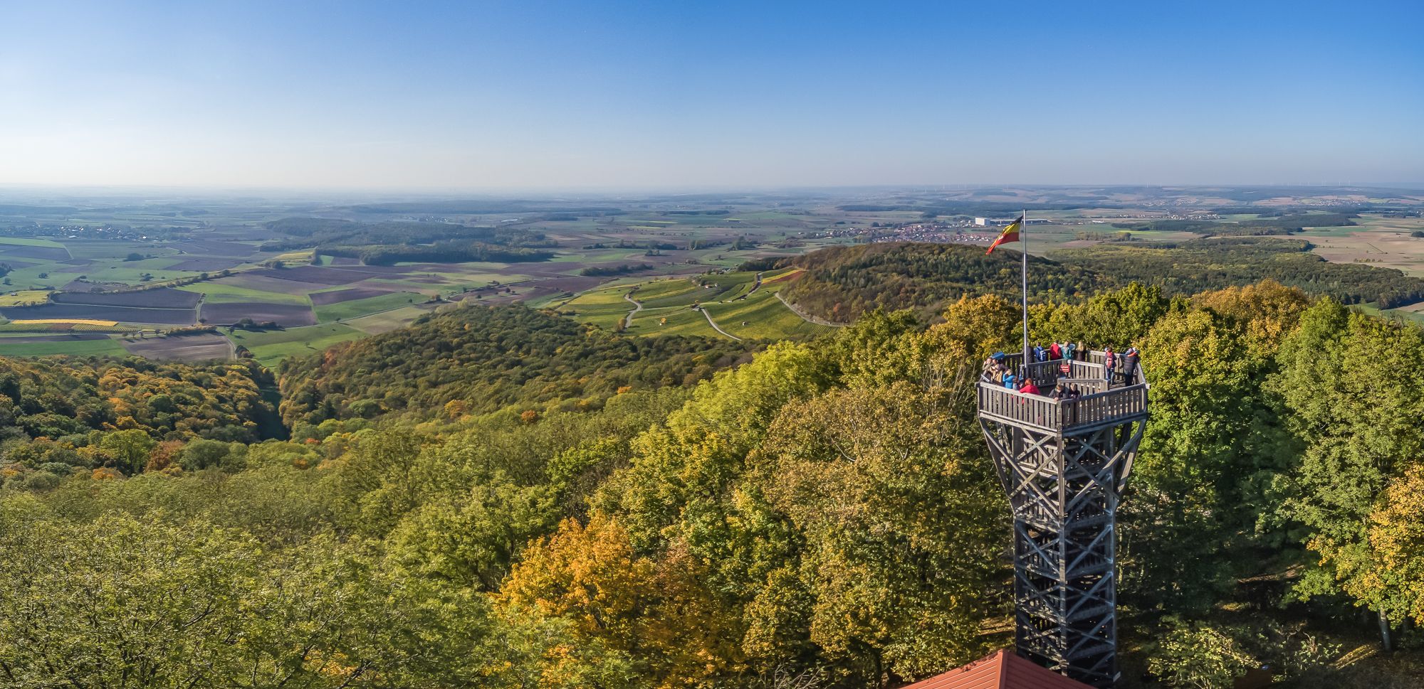
Steigerwald panorama trail — 9 days
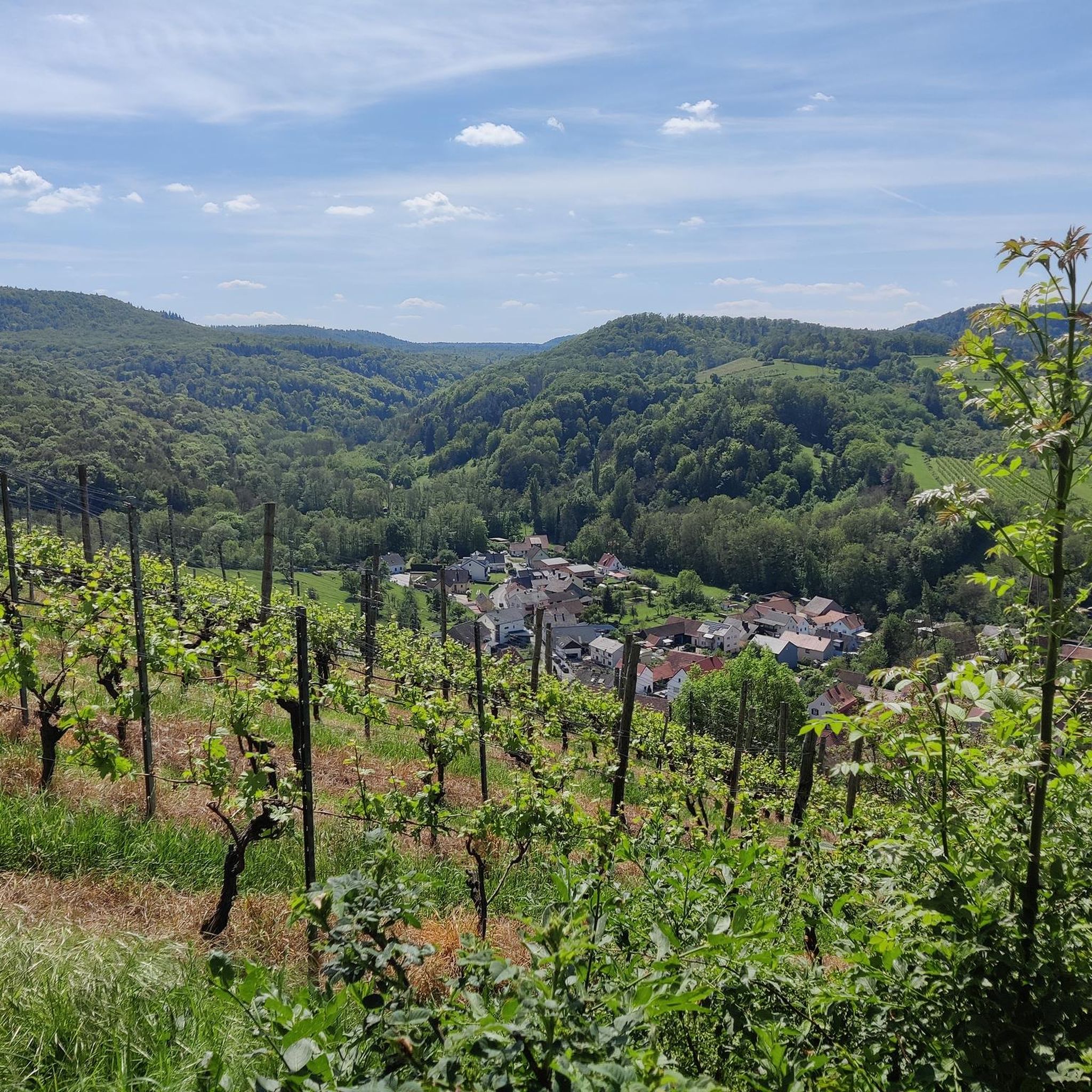
Cycling in Buchenwälder Und Wiesentäler Des Nordsteigerwalds
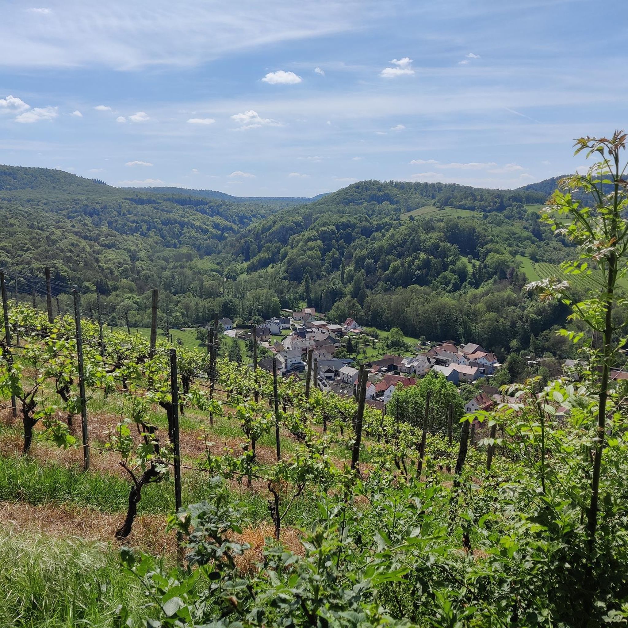
Hiking in Buchenwälder Und Wiesentäler Des Nordsteigerwalds
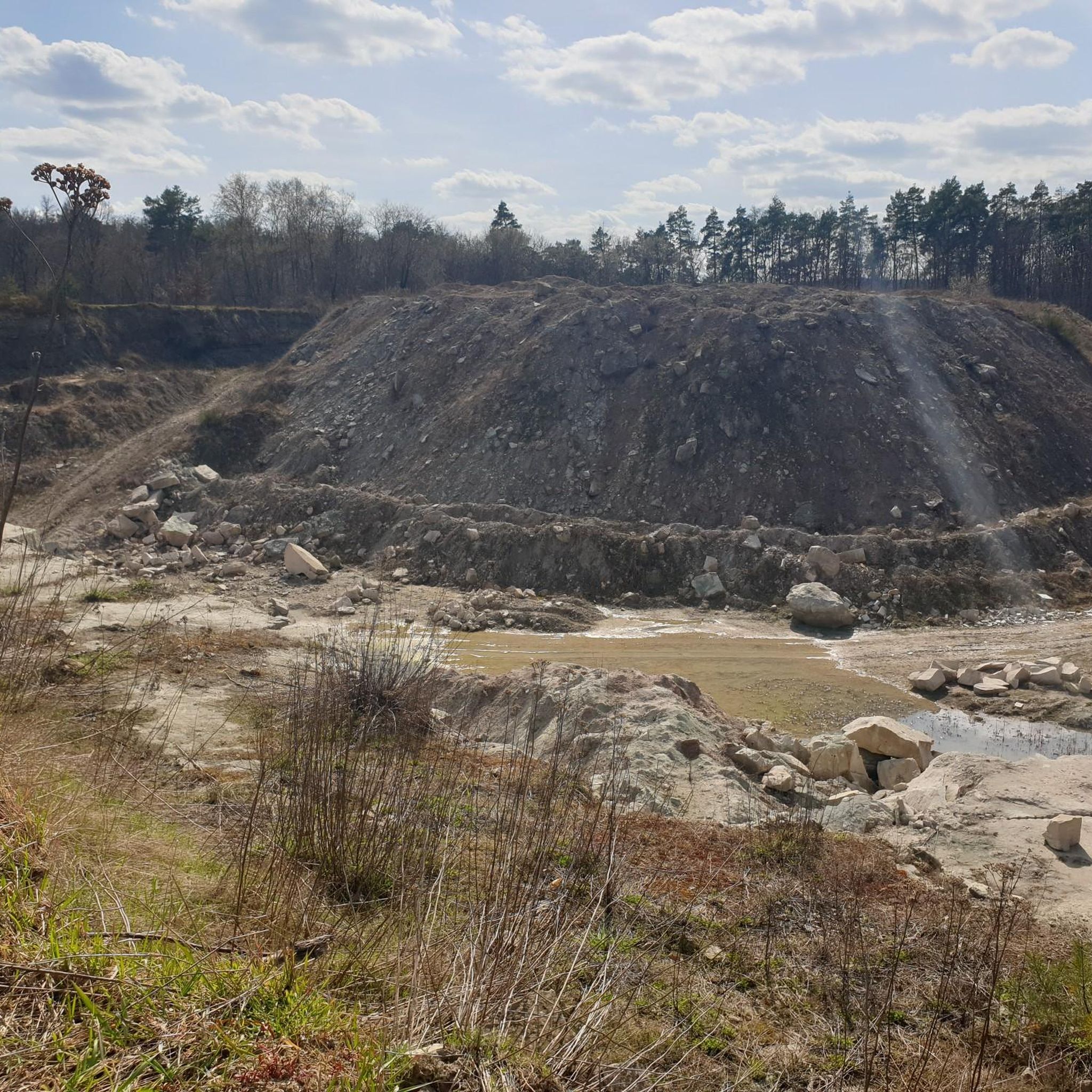
MTB Trails in Buchenwälder Und Wiesentäler Des Nordsteigerwalds
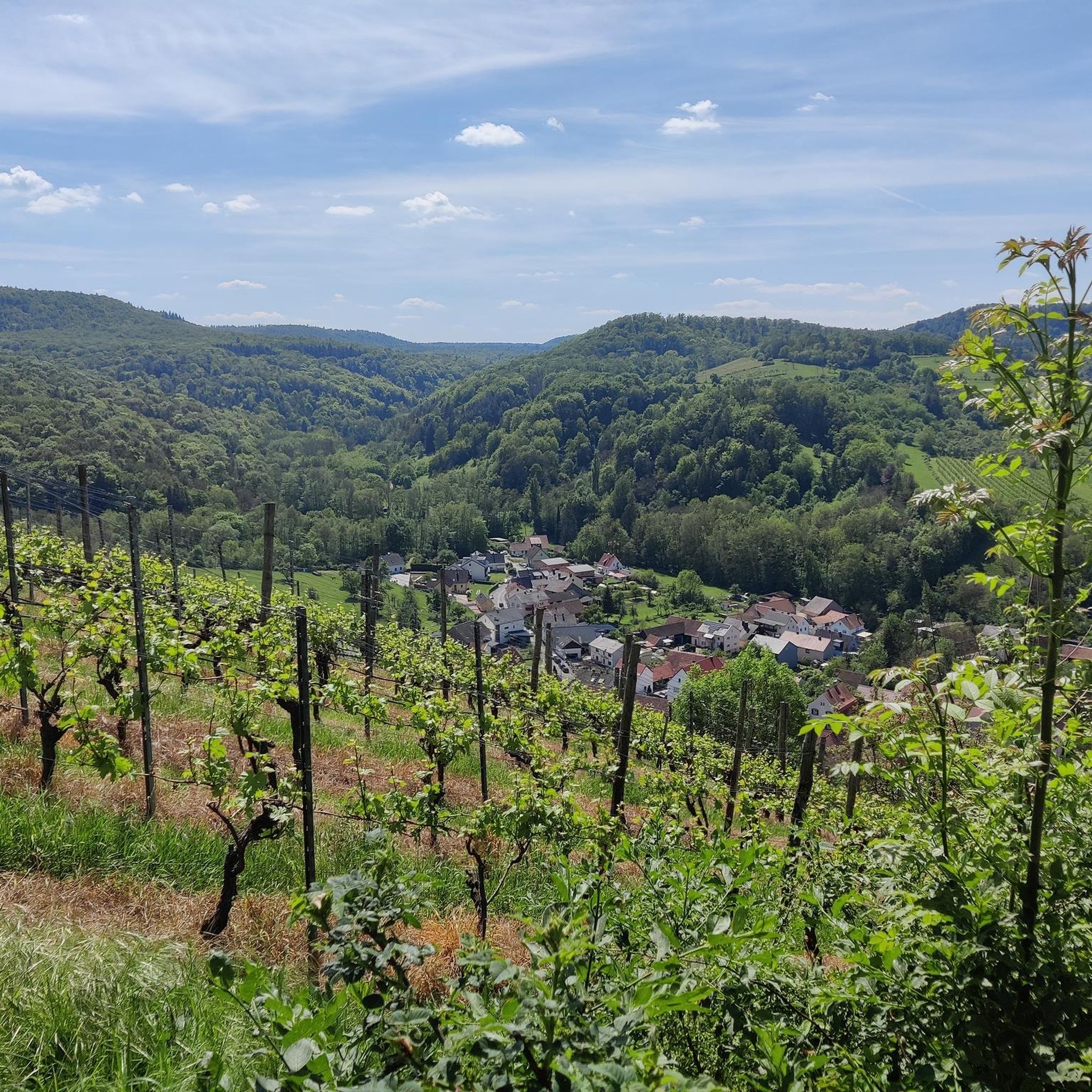
Road Cycling Routes in Buchenwälder Und Wiesentäler Des Nordsteigerwalds
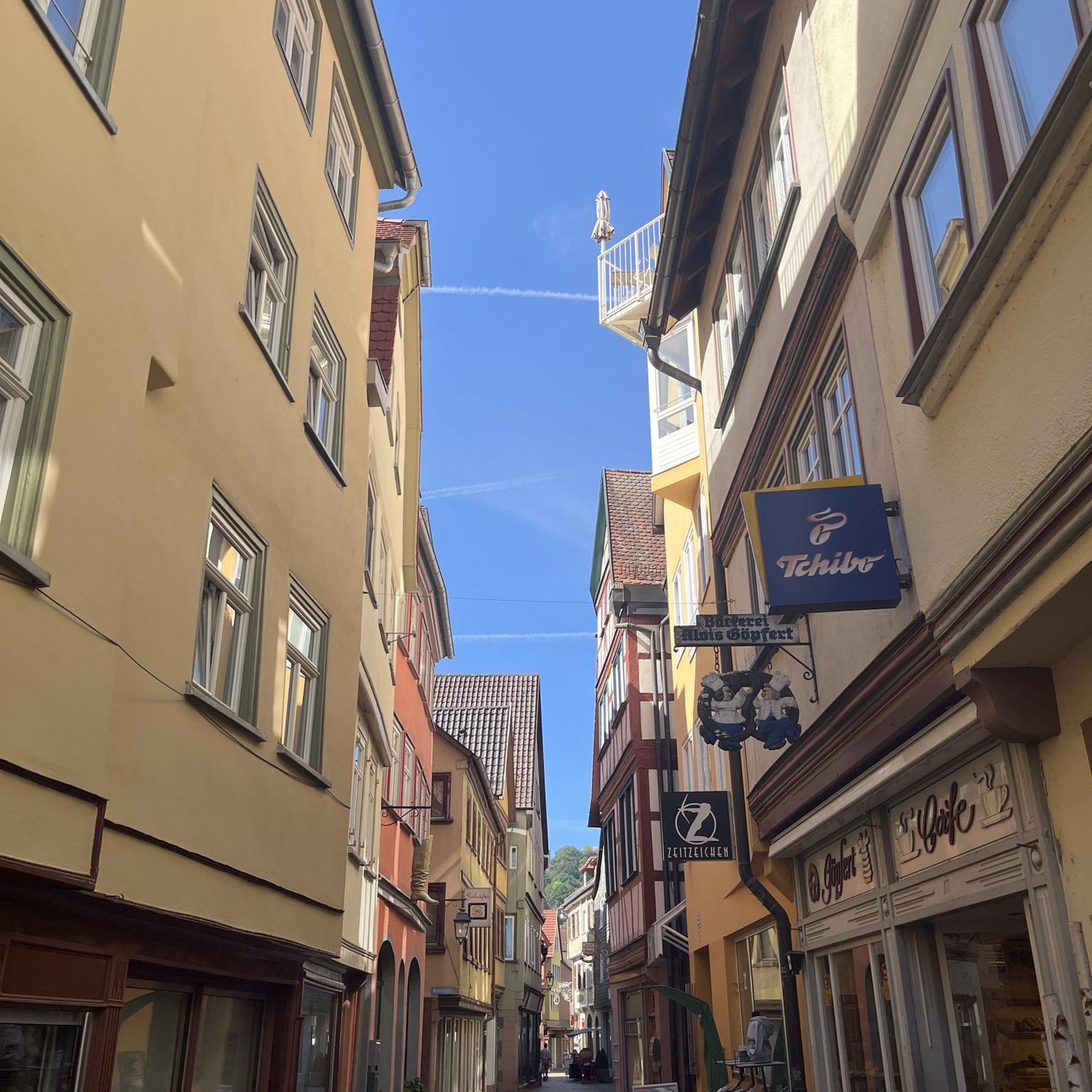
Gravel biking in Buchenwälder Und Wiesentäler Des Nordsteigerwalds
Other adventures in Buchenwälder Und Wiesentäler Des Nordsteigerwalds

Tips from the Community

Here you can take a break
1
0


The farms first documented in the 14th century belonged to the nearby Zabelstein Castle complex. However, agricultural conditions on the ridge were not favorable, and the farms were abandoned around 1840. Remains include the preserved cistern, the dried-up village pond, and some remains of walls. The fields and meadows are now all overgrown with forests.
3
0

Ideal place for a break.
0
0

Rest area with a fountain
2
0

Yes, the stairs are a bit strenuous, but they are worth it, always a great view of the Main
8
0

The neo-Romanesque hall church made of ashlar masonry with a nave and a recessed choir closed off on three sides on the south side was built in 1835-37 according to a design approved by Leo von Klenze. The lower floors of the plastered choir tower, which stands on the east side of the nave of the current church, and the sacristy on a polygonal floor plan were taken from the previous building from the end of the 13th century. On the top floor of the current church tower, behind the sound arcades designed as biforia, is the bell cage in which five church bells hang. Below the eaves of the nave and choir is an arched frieze. The interior of the nave is covered with a coffered ceiling, the choir of the previous building, i.e. the ground floor of the choir tower, which today serves as a chapel, has a star vault. In the old choir there is a late Gothic tabernacle. The organ[2], built in 1895 by Franz Hochrein[1], is located on the gallery on the north side of the nave. Source: Wikipedia
1
0
Frequently Asked Questions
How many running routes are available in Buchenwälder Und Wiesentäler Des Nordsteigerwalds?
The region offers a network of over 10 running routes, with options ranging from easy to moderate difficulty. In total, there are 14 routes documented, providing diverse experiences through the scenic landscape.
What kind of terrain can I expect on the jogging trails in Buchenwälder Und Wiesentäler Des Nordsteigerwalds?
You can expect a varied terrain characterized by extensive beech forests, picturesque meadow valleys, and rolling hills. Some routes, like those near Zell am Ebersberg, even lead through unique gorge forests, offering an immersive natural experience. The diverse forest types, including oak, hornbeam, and ash, add to the scenic beauty.
Are there easy running paths suitable for beginners or families in the Northern Steigerwald?
Yes, there are several easy running paths perfect for beginners or families. For instance, the Running loop from Unterschleichach is an easy 4.6-mile (7.4 km) route that takes about 1 hour to complete, offering a gentle introduction to the region's beauty. Overall, 4 of the routes are classified as easy.
What do other runners enjoy most about jogging in Buchenwälder Und Wiesentäler Des Nordsteigerwalds?
The area is highly rated by the komoot community, with an average score of 4.6 stars from over 200 reviews. Runners often praise the diverse and scenic natural environment, particularly the ancient beech forests and picturesque meadow valleys, which provide varied and enjoyable paths for all fitness levels.
Are there any circular running routes in the Buchenwälder Und Wiesentäler Des Nordsteigerwalds?
Yes, many of the running routes in the region are circular, allowing you to start and finish at the same point. A popular choice is the Running loop from Oberaurach, a moderate 4.6-mile (7.4 km) trail that offers a great workout through the local landscape.
What interesting landmarks or natural features can I see along the running routes?
You can discover several interesting landmarks and natural features. The Zabelstein Castle Ruins offer a historical point of interest, and the Tretzendorfer Weiher Observation Platform provides scenic views. Additionally, you might encounter unique gorge forests like those found on the Böhlbach Valley trails, or the diverse wetlands and moorlands in areas like the Aurachtal.
Are there running routes accessible by public transport in the Buchenwälder Und Wiesentäler Des Nordsteigerwalds?
While specific public transport connections for each route vary, many towns and villages in the region, such as Eltmann, serve as good starting points and may have bus connections. The Eltmann Main Bridge – Eltmann Town Hall loop from Eltmann is an example of a route that starts directly from a town, potentially offering better public transport access.
Can I find running routes with parking facilities in the Buchenwälder Und Wiesentäler Des Nordsteigerwalds?
Yes, many trailheads and starting points for running routes in the region offer parking facilities. It's common for routes originating from villages or popular natural areas to have designated parking. For example, routes starting from Oberaurach or Naturwaldreservat Mordgrund typically have convenient parking options nearby.
Is the Buchenwälder Und Wiesentäler Des Nordsteigerwalds suitable for trail running?
Absolutely. The diverse terrain, including rolling hills, ancient beech forests, and unique gorge forests, makes it an excellent destination for trail running. While there are no 'difficult' graded routes, the moderate trails, such as the Loundon loop from Beerberg-Südhang, offer enough elevation gain and varied surfaces to provide a good challenge for trail runners.
What is the best time of year for jogging in the Buchenwälder Und Wiesentäler Des Nordsteigerwalds?
The region is beautiful for jogging throughout much of the year. Spring and autumn offer pleasant temperatures and stunning natural colors, especially with the extensive beech forests. Summer provides shaded paths, which are ideal during warmer months. Even in winter, the trails can be enjoyed, though conditions may require appropriate gear.
Are there any running routes that pass through nature reserves?
Yes, some running routes will take you through or near nature reserves, highlighting the region's commitment to preserving its natural beauty. The Running loop from Naturwaldreservat Mordgrund is a moderate 3.3-mile (5.3 km) path that winds directly through a nature reserve, offering a chance to experience untouched natural landscapes.
Most popular routes in Buchenwälder Und Wiesentäler Des Nordsteigerwalds
Most popular attractions in Buchenwälder Und Wiesentäler Des Nordsteigerwalds

Get inspired with the komoot mobile app


Explore more
Browse the best Running Trails & Routes in other regions.
