Reiterswiesener Höhe-Häuserlohwäldchen
Reiterswiesener Höhe-Häuserlohwäldchen
The best running trails in Reiterswiesener Höhe-Häuserlohwäldchen
4.5
(397)
4,698
runners
379
runs
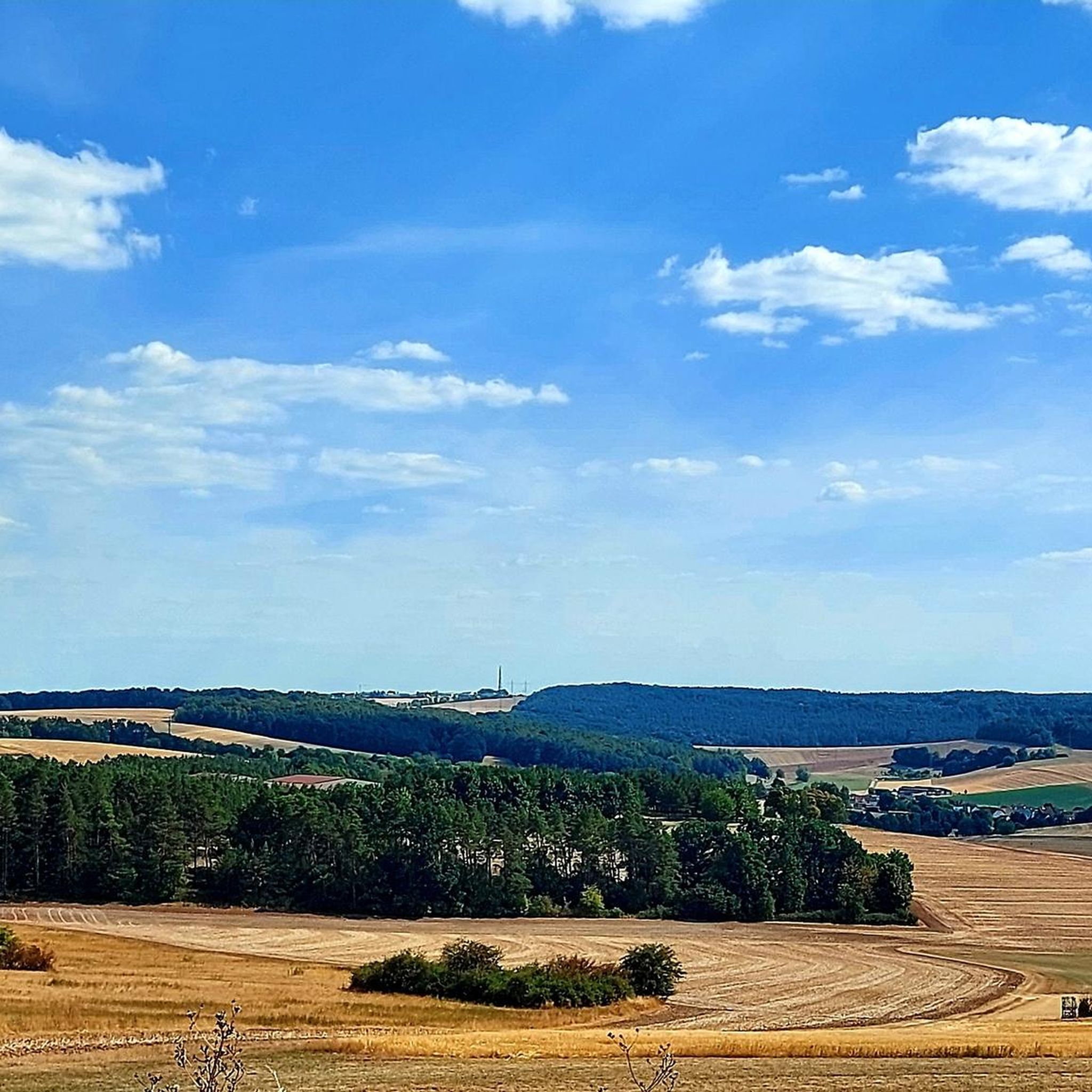
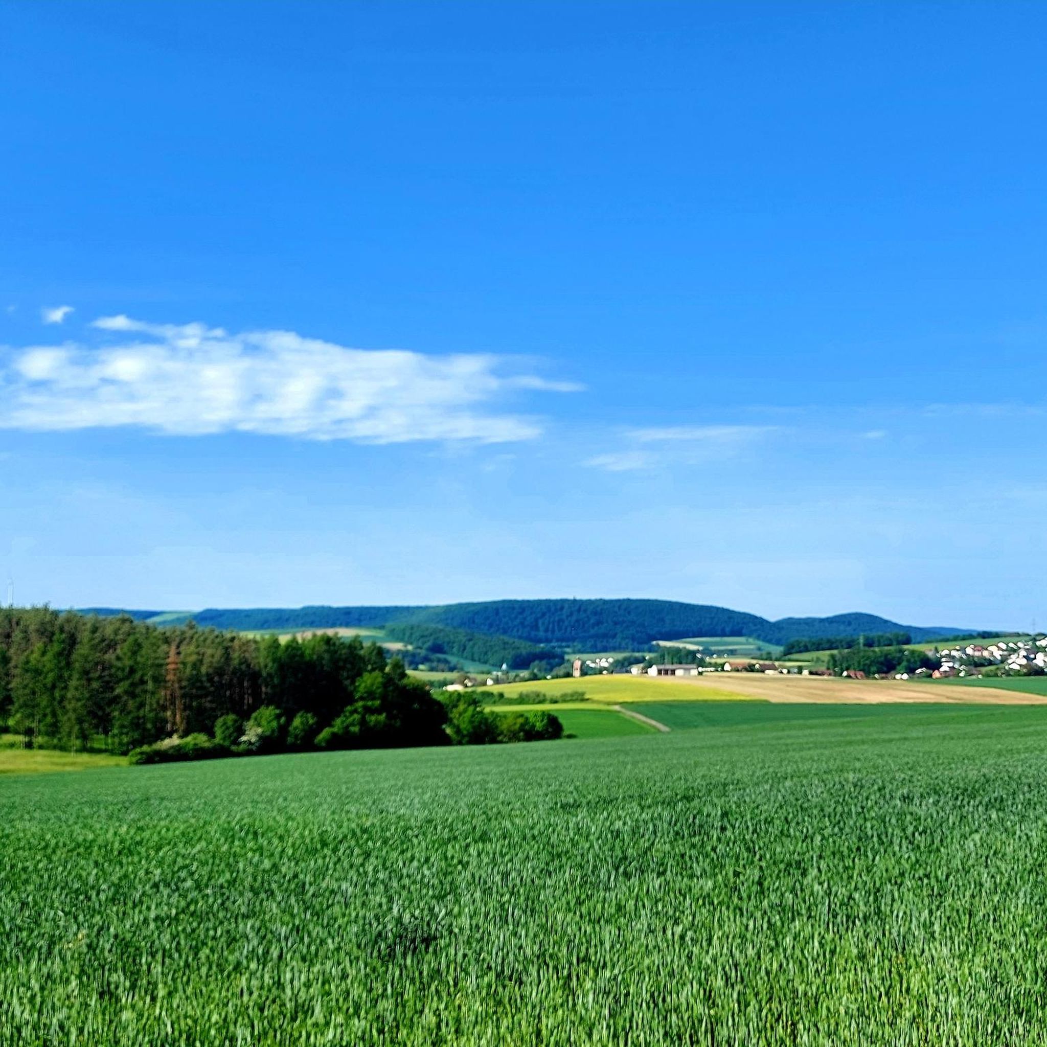
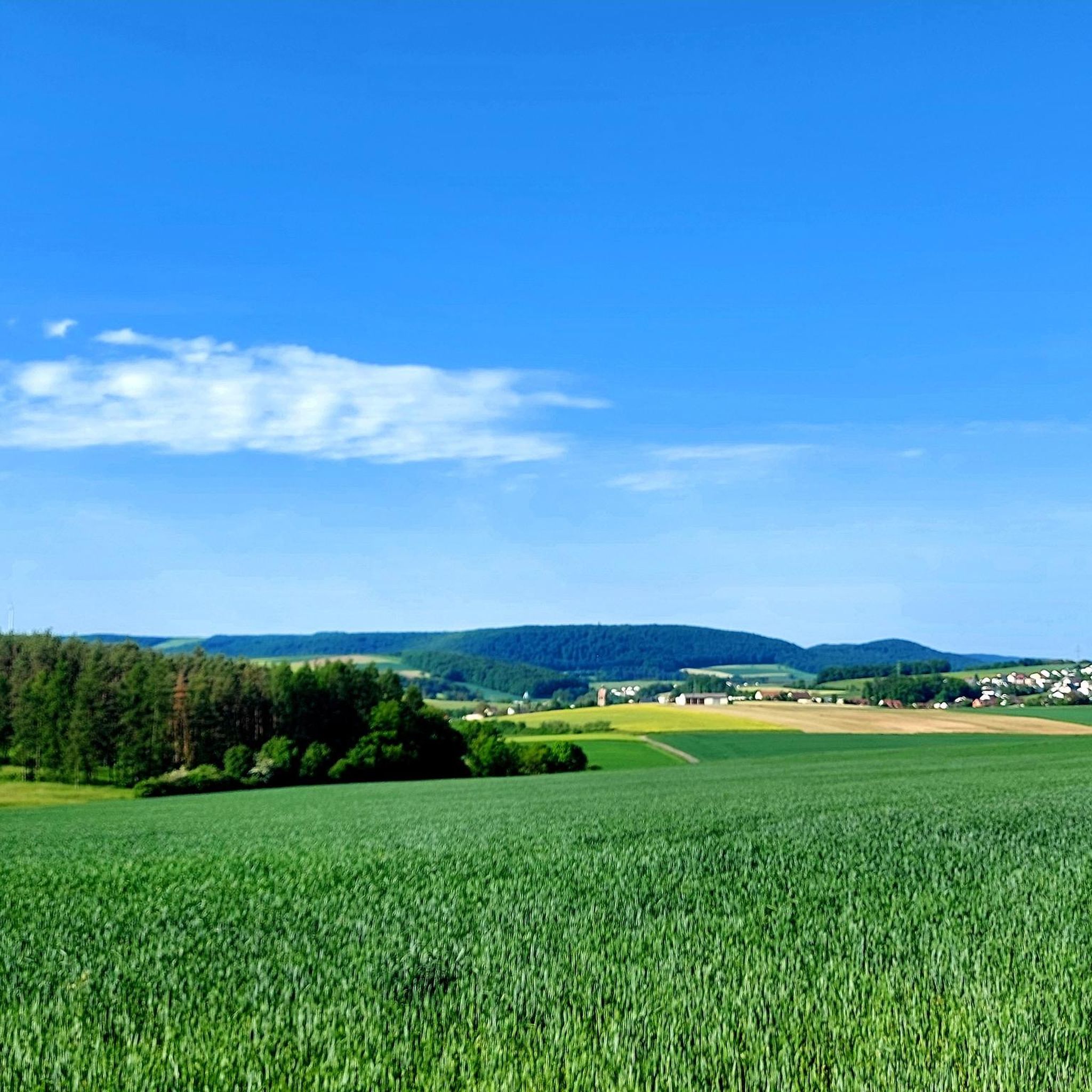
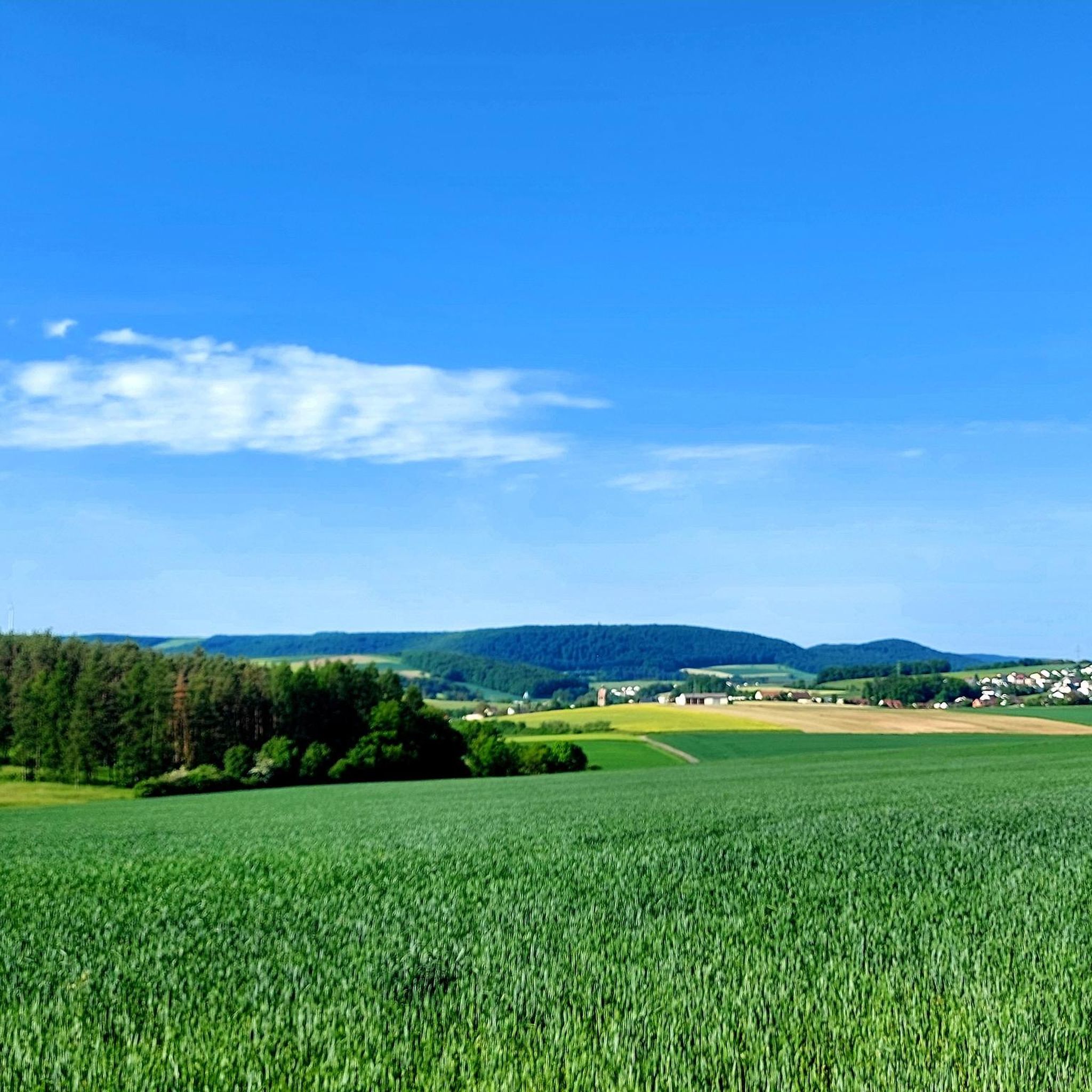
Jogging routes in Reiterswiesener Höhe-Häuserlohwäldchen traverse a diverse natural landscape, characterized by dry grasslands, lush beech forests, and mixed pine and deciduous woodlands. The area, a designated nature reserve, features calcareous grasslands on a high plateau, offering varied terrain for runners. A well-developed network of paths, a legacy from its past use, provides extensive and accessible trails. These routes offer varying gradients and surfaces, catering to different jogging preferences.
Best jogging routes in Reiterswiesener Höhe-Häuserlohwäldchen
- The most popular jogging route…
Last updated: July 14, 2026
3.0
(1)
21
runners
6.84km
00:44
70m
70m
Moderate run. Good fitness required. Mostly paved surfaces. Suitable for all skill levels.
3.4
(7)
49
runners
Moderate run. Good fitness required. Mostly paved surfaces. Suitable for all skill levels.

Sign up for free
5.0
(2)
9
runners
7.08km
00:45
70m
70m
Moderate run. Good fitness required. Mostly paved surfaces. Suitable for all skill levels.
4.3
(3)
10
runners
Moderate run. Good fitness required. Mostly paved surfaces. Suitable for all skill levels.
5.0
(1)
9
runners
4.85km
00:31
60m
60m
Easy run. Great for any fitness level. Mostly paved surfaces. Suitable for all skill levels.
Get access to more routes and recommendations from other explorers.
Sign up for free
Already have an account?
Our route recommendations are based on thousands of hikes, rides, and runs completed by other people on komoot.
Start today with a free account
Your next adventure awaits.
Login or Signup
Popular around Reiterswiesener Höhe-Häuserlohwäldchen
Tips from the Community

Beautiful bridge ensemble in the Lollbach valley.
1
0

Mostly quite good ground surface
0
0


Then you know right away where to go
2
0
Very interesting, nice to look at
2
0

Simply a great area where you can go hiking
2
1

There is a very special labyrinth in the Luitpoldpark in Bad Kissingen: The classic labyrinth with its 7 circuits is designed as a barefoot path. It is very close to the Kneipp water basins and not far from the sound garden. The Heiligenfeld specialist clinic sponsored the labyrinth.
3
0
History as far as the eye can see
1
1
Frequently Asked Questions
How many running routes are available in Reiterswiesener Höhe-Häuserlohwäldchen?
There are over 360 running routes in Reiterswiesener Höhe-Häuserlohwäldchen, offering a wide range of options for different fitness levels and preferences. This extensive network is a legacy of the area's past use, providing accessible trails through diverse landscapes.
What kind of terrain can I expect on the jogging trails?
The running trails in Reiterswiesener Höhe-Häuserlohwäldchen traverse a diverse natural landscape. You can expect to encounter dry grasslands, lush beech forests, mixed pine and deciduous woodlands, and calcareous grasslands on a high plateau. This variety provides different gradients and surfaces, making for an engaging running experience.
Are there easy running routes suitable for beginners or casual joggers?
Yes, Reiterswiesener Höhe-Häuserlohwäldchen offers 51 easy running routes. These paths are generally well-maintained and suitable for all fitness levels, making them ideal for beginners or those looking for a more relaxed run. The extensive trail system ensures there are options for everyone.
Are there any historical or natural landmarks to see along the running paths?
Absolutely! The area is rich in points of interest. You can explore the Reiterswiesener Höhe–Häuserlohwäldchen Nature Reserve itself, which is a significant natural feature. There's also the site of a Former US missile base Reiterswiesener Höhe-Häuserlohwäldchen, offering a glimpse into the region's history. For scenic views, consider routes that pass by the Wurmberg-Possenberg Plateau.
What do other runners say about the trails in Reiterswiesener Höhe-Häuserlohwäldchen?
The running routes in Reiterswiesener Höhe-Häuserlohwäldchen are highly rated by the komoot community, with an average score of 4.5 stars from over 380 reviews. More than 4800 runners have used komoot to explore the varied terrain, often praising the diverse landscapes and well-developed path network.
Are there any circular running routes available?
Many of the running routes in the region are designed as loops, offering convenient circular options. For example, the Deegenberg Forest Park loop from Bad Kissingen is a popular moderate 5.1 km trail. Another great option is the Forest Wayside Shrine loop from Naturwaldreservat Dianensruh, which is 7.1 km long.
Can I bring my dog on the running trails?
While the guide data doesn't specify dog-friendly routes, nature reserves generally welcome dogs on a leash. Given the extensive network of paths and natural environment, many trails are suitable for running with dogs. Always ensure your dog is under control and respect local regulations regarding nature protection.
Are there any running routes that offer views of historical sites?
Yes, you can combine your run with historical sightseeing. The View of Botenlauben Castle – Ruins of Botenlauben Castle loop from Reiterswiesen is a moderate 10.3 km path that provides excellent views of historical ruins and varied natural surroundings.
What is the best season for running in Reiterswiesener Höhe-Häuserlohwäldchen?
The diverse natural landscapes, including dry grasslands, beech forests, and mixed woodlands, make Reiterswiesener Höhe-Häuserlohwäldchen enjoyable for running throughout much of the year. Spring and autumn offer pleasant temperatures and beautiful scenery, while summer provides lush green views. Winter running is also possible, though conditions may vary.
Are there more challenging running routes for experienced runners?
Yes, for more experienced runners seeking a challenge, there are 51 difficult routes and 259 moderate routes available. An example of a more demanding run is the Kissingen Graduation Tower – in the rose garden loop from Bad Kissingen, which is a difficult 10.7 km trail with notable elevation changes.
Is there parking available near the running trailheads?
The region's well-developed infrastructure, partly a legacy of its past use, suggests that parking facilities are generally available near popular access points and trailheads. While specific parking locations are not detailed in the guide, it's common for such extensive trail networks to have designated parking areas for outdoor enthusiasts.
Can I reach the running trails using public transport?
While the guide focuses on the trails themselves, the region is generally accessible. For specific public transport options to trailheads, it's advisable to check local transport schedules for connections to towns like Bad Kissingen or Reiterswiesen, which serve as starting points for many routes.
Most popular routes in Reiterswiesener Höhe-Häuserlohwäldchen
Most popular attractions in Reiterswiesener Höhe-Häuserlohwäldchen

Get inspired with the komoot mobile app


Explore more
Browse the best Running Trails & Routes in other regions.
