The best running trails in Tal Der Brend
4.4
(541)
5,523
runners
17
runs
Jogging routes in Tal Der Brend traverse a landscape characterized by rolling hills, forested areas, and elevated summits. The region features varied terrain, from gentle paths along valleys to more challenging ascents towards prominent peaks. Historical elements, such as castle ruins and town walls, are also integrated into some running routes. This diverse environment provides a range of options for runners of all abilities.
Best jogging routes in Tal Der Brend
- The most popular jogging route is Kreuzberg Summit and Viewpoint – View from the summit of Kreuzberg loop from Schönau (Brend), a 13.7 miles (22.0 km) trail that takes about 2 hours 42 minutes to complete. This difficult route leads through elevated terrain with rewarding summit views.
- Another top favourite among local runners is Running loop from Wegfurt, an easy 3.1 miles (4.9 km) path. This route features minimal elevation change, making it suitable for a relaxed run.
- Local runners also love the BahnRadweg R1 🚴 Brend Riverside loop from Unterweißenbrunn, a 5.0 miles (8.1 km) trail leading through riverside landscapes, often completed in about 50 minutes.
- Jogging in Tal Der Brend is defined by its mix of forested paths, open hills, and challenging summit ascents. The network offers options for different ability levels, from easy loops to difficult long-distance runs.
- The routes in Tal Der Brend are highly rated by the komoot community with an average score of 4.5 stars from over 500 reviews. More than 5000 runners have used komoot to explore Tal Der Brend's varied terrain.
Last updated: July 2, 2026
4.0
(3)
20
runners
4.92km
00:31
40m
40m
Easy run. Great for any fitness level. Mostly paved surfaces. Suitable for all skill levels.
17
runners
8.09km
00:51
70m
70m
Moderate run. Good fitness required. Mostly paved surfaces. Suitable for all skill levels.

Sign up for free
16
runners
Hard run. Very good fitness required. Mostly paved surfaces. Suitable for all skill levels.
1.0
(1)
12
runners
11.5km
01:14
110m
110m
Moderate run. Good fitness required. Mostly paved surfaces. Suitable for all skill levels.
10
runners
9.75km
01:01
80m
90m
Moderate run. Good fitness required. Mostly paved surfaces. Suitable for all skill levels.
Get access to more routes and recommendations from other explorers.
Sign up for free
Already have an account?
Our route recommendations are based on thousands of hikes, rides, and runs completed by other people on komoot.
Start today with a free account
Your next adventure awaits.
Login or Signup

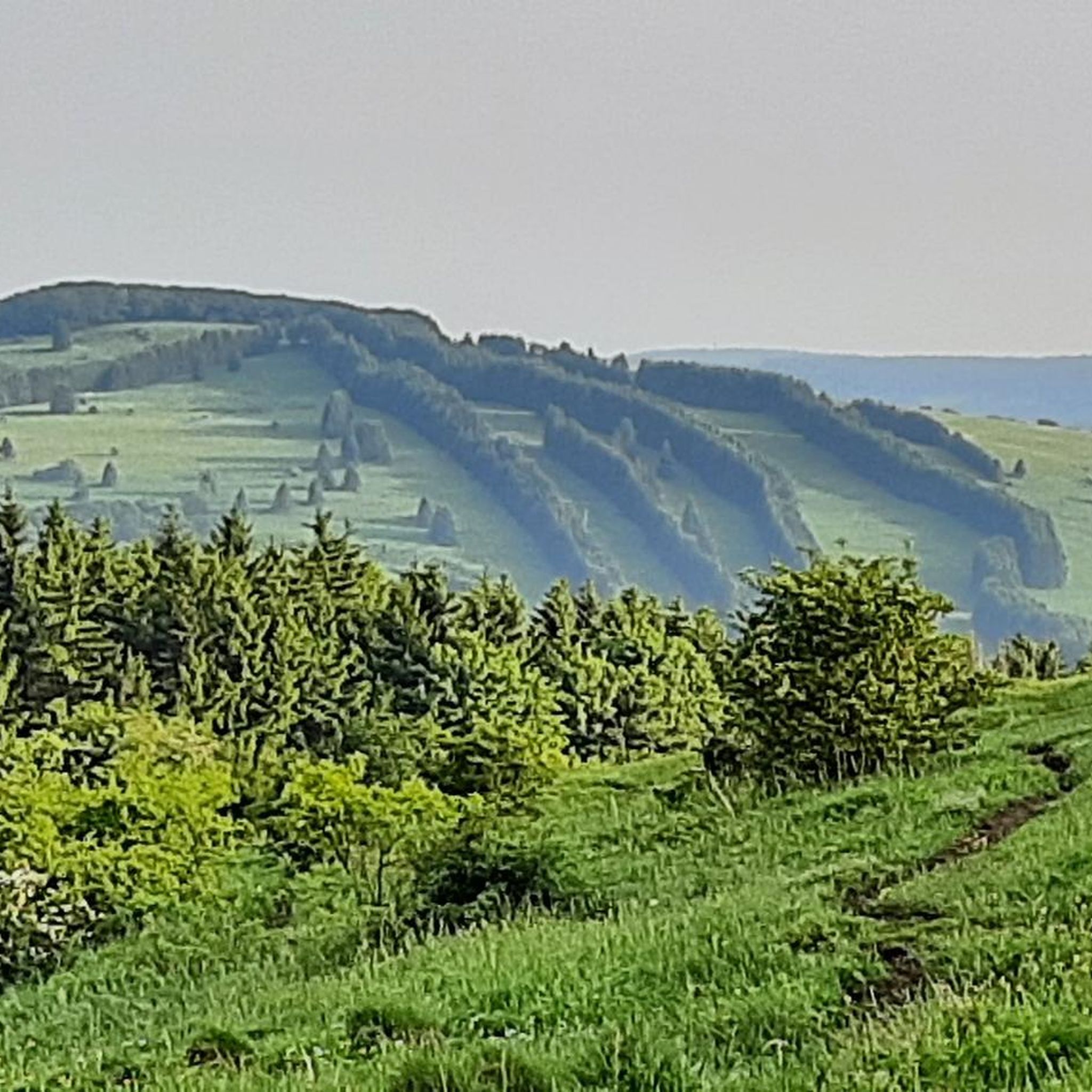
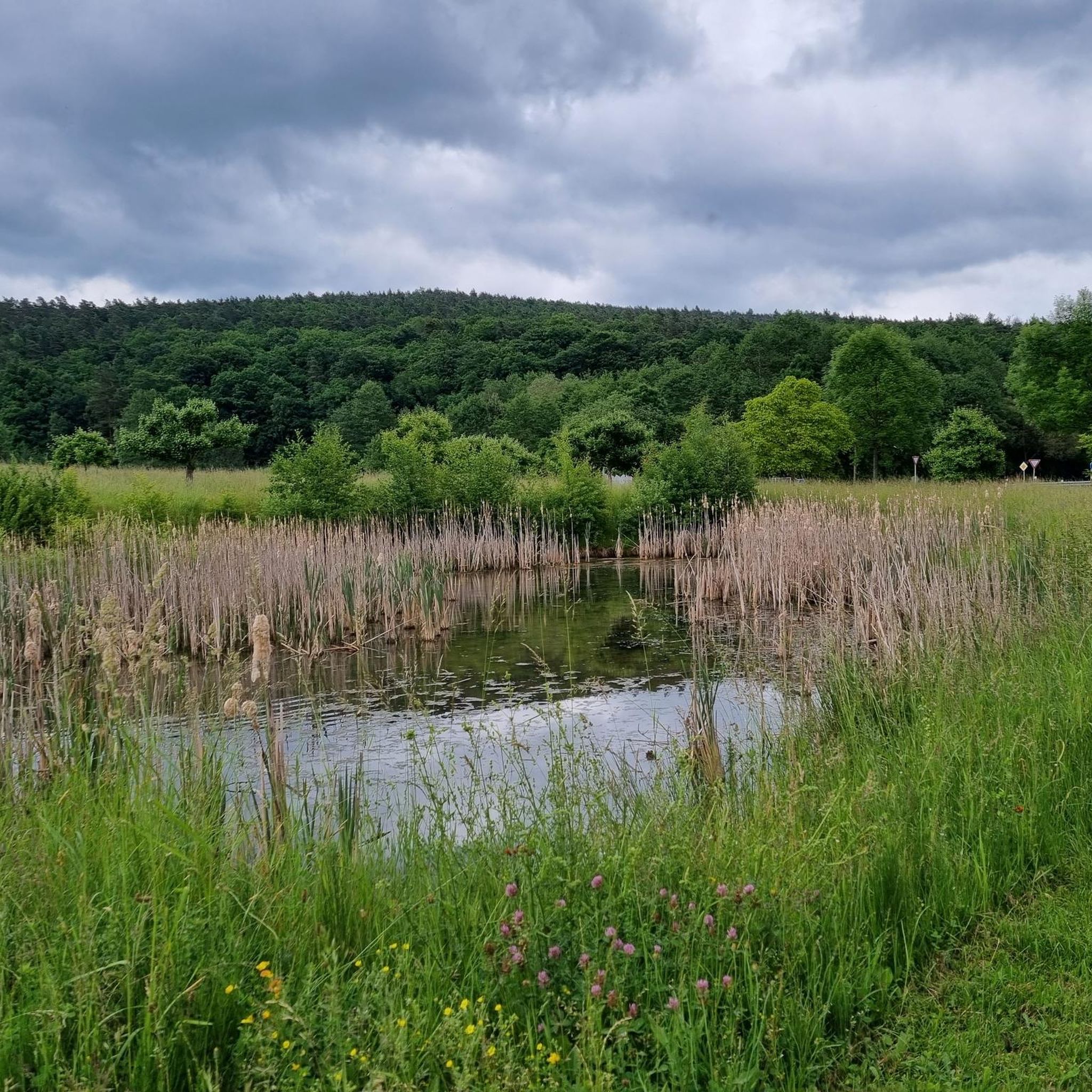
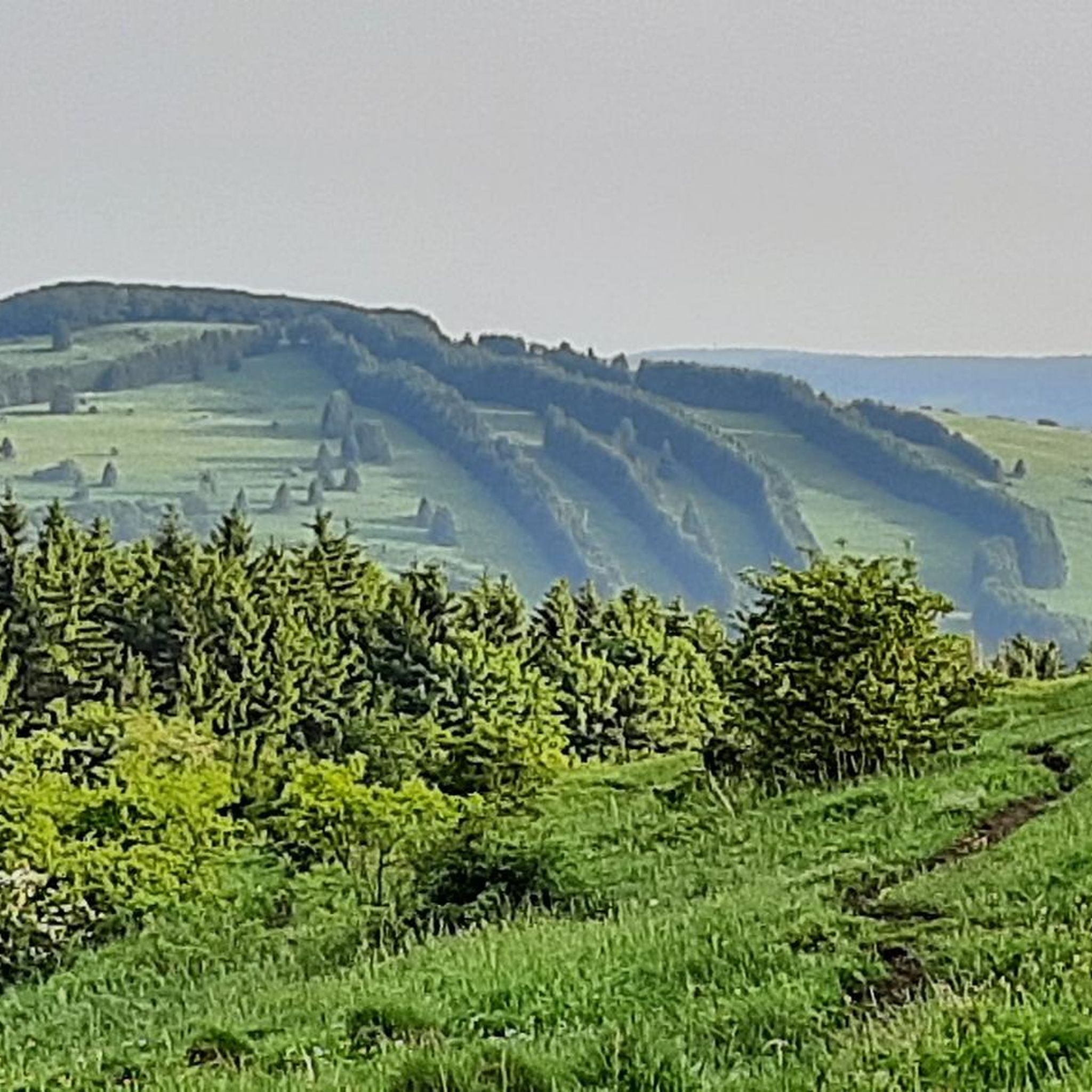
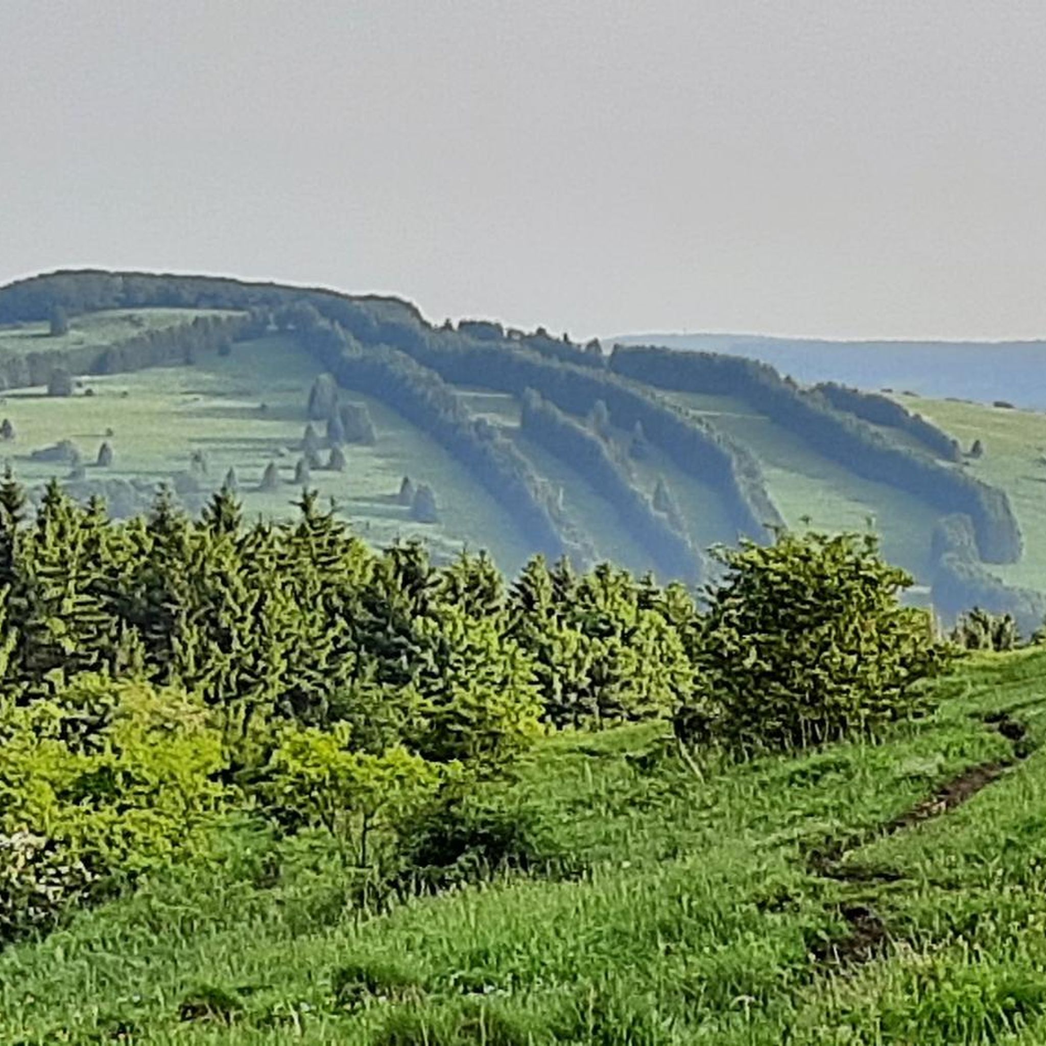

Other adventures in Tal Der Brend

Tips from the Community

The city wall, the historic tax office, and the city's 26-meter-high landmark, the Zentturm, bear witness to history and give the small town a historic flair.
2
0

Great stone embankment, made by nature :)
0
0

zZ in Easter decoration as a sign of the invention of the famous Rhönrad
2
0


The city wall was recently restored - and it looks great!
0
0

Impressive summit cross on the Holy Mountain of the Franconians! ⛰️
2
0

The summit cross is on a radio mast. The circular trail leads directly past it.
2
0

The path along the historic city wall has been renovated and a new wooden fence is currently being erected. Small squares with benches and fountains are being created.
0
0
Frequently Asked Questions
How many running routes are available in Tal Der Brend?
Tal Der Brend offers a wide selection of running routes, with over 700 trails available on komoot. This includes 74 easy routes, 487 moderate, and 143 difficult options, catering to all fitness levels.
Are there easy running routes in Tal Der Brend suitable for beginners?
Yes, Tal Der Brend has several easy running paths perfect for beginners or those looking for a relaxed jog. An excellent option is the Running loop from Wegfurt, which is an easy 3.1-mile (4.9 km) path with minimal elevation change.
What kind of terrain can I expect on the jogging trails in Tal Der Brend?
The running trails in Tal Der Brend feature diverse terrain, ranging from gentle paths along valleys to more challenging ascents towards prominent peaks. You'll encounter a mix of forested paths, open hills, and routes that offer rewarding summit views.
Are there any running routes that offer scenic viewpoints in Tal Der Brend?
Absolutely. Many routes in Tal Der Brend provide expansive views. For a challenging run with stunning vistas, consider the Himmeldunkberg summit – View from Himmeldunkberg loop from Bischofsheim in der Rhön, which offers significant elevation gain and rewarding summit views.
Can I find longer, more challenging running trails in Tal Der Brend?
Yes, for experienced runners seeking a challenge, Tal Der Brend has difficult routes with substantial elevation. The Kreuzberg Summit and Viewpoint – View from the summit of Kreuzberg loop from Schönau (Brend) is a 13.7-mile (22.0 km) trail leading through elevated terrain with impressive summit views.
Are there any historical landmarks or attractions along the running routes?
Yes, some running routes in Tal Der Brend integrate historical elements. For example, the Osterburg castle ruins – Kreuzberg Monastery loop from Bischofsheim in der Rhön takes you past the Osterburg castle ruins. You can also explore highlights like the Bischofsheim Town Wall.
What do other runners say about the trails in Tal Der Brend?
The running trails in Tal Der Brend are highly regarded by the komoot community, boasting an average rating of 4.5 stars from over 600 reviews. More than 6,000 runners have used komoot to explore the region, often praising the varied terrain and scenic beauty.
Are there any running routes that pass by places to eat or drink?
While specific cafe stops are not always integrated into every route description, some trails pass near towns or points of interest where you might find refreshments. For instance, the Bischofsheim Town Wall – CoffeeMagic loop from Bischofsheim in der Rhön is a moderate route that could offer opportunities for a break in Bischofsheim. You can also find places like Braunsmühle Restaurant & Beer Garden in the region.
Can I bring my dog on the running trails in Tal Der Brend?
Generally, dogs are welcome on many trails in Tal Der Brend, especially those in natural areas. However, it's always recommended to keep your dog on a leash, especially in nature reserves or areas with wildlife, and to check local regulations for specific routes.
Are there any circular running routes in Tal Der Brend?
Yes, many of the running routes in Tal Der Brend are designed as loops, allowing you to start and finish at the same point. Examples include the popular Himmeldunkberg summit – View from Himmeldunkberg loop from Bischofsheim in der Rhön and the Running loop from Wegfurt.
What is the best time of year for running in Tal Der Brend?
Tal Der Brend offers enjoyable running conditions throughout much of the year. Spring and autumn provide pleasant temperatures and beautiful scenery with blooming flowers or vibrant fall foliage. Summer is also great, especially for higher elevation trails, while winter can offer unique snowy landscapes for those prepared for colder conditions.
Most popular routes in Tal Der Brend
Most popular attractions in Tal Der Brend

Get inspired with the komoot mobile app


Explore more
Browse the best Running Trails & Routes in other regions.
