The best mountain hikes in Lsg "Bayerische Rhön"
4.0
(6)
28
hikers
10
hikes
Mountaineering in Lsg "Bayerische Rhön" is characterized by its unique volcanic origins, featuring dome-shaped mountains, basalt columns, and expansive plateaus. This UNESCO Biosphere Reserve offers varied terrain, including moors, mountain meadows, and dense beech forests, providing diverse environments for exploration. The region's geological formations create challenging ascents and far-reaching views across its open vistas.
Best mountaineering routes in Lsg "Bayerische Rhön"
- The most popular mountaineering route is Marienbrünnlein – Kreuzberg Summit loop from Unterweißenbrunn, an 8.5 miles (13.6 km)…
Last updated: July 2, 2026
5.0
(2)
6
hikers
13.6km
04:12
490m
490m
Moderate mountaineering route. Good fitness required. Easily-accessible paths. Suitable for all skill levels.
2
hikers
Moderate mountaineering route. Good fitness required. Easily-accessible paths. Suitable for all skill levels.

Sign up for free
3
hikers
7.31km
02:05
170m
170m
Moderate mountaineering route. Good fitness required. Easily-accessible paths. Suitable for all skill levels.
5.0
(3)
7
hikers
7.75km
02:27
290m
290m
Moderate mountaineering route. Good fitness required. Mostly accessible paths. Sure-footedness required.
5.0
(1)
3
hikers
4.18km
01:23
190m
190m
Moderate mountaineering route. Great for any fitness level. Mostly accessible paths. Sure-footedness required.
Get access to more routes and recommendations from other explorers.
Sign up for free
Already have an account?
Our route recommendations are based on thousands of hikes, rides, and runs completed by other people on komoot.
Start today with a free account
Your next adventure awaits.
Login or Signup
Popular around Lsg "Bayerische Rhön"
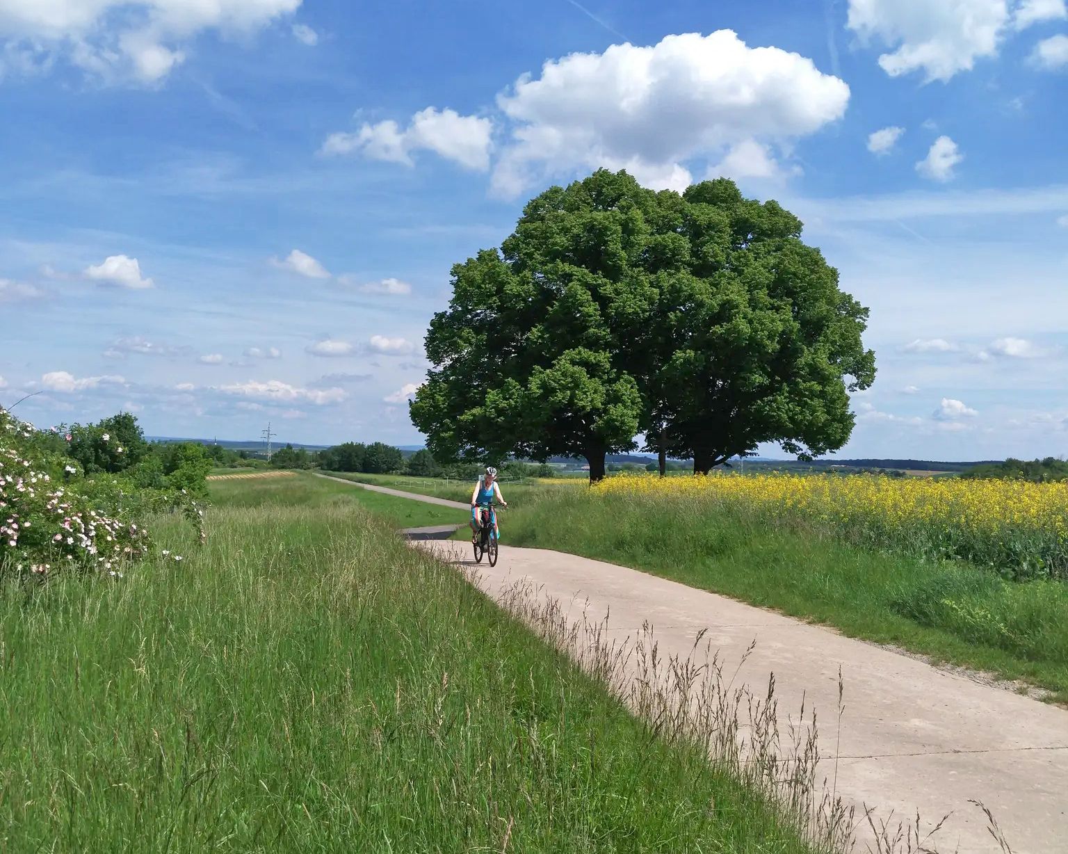
Main-Werra cycle path – From river to river

Stages of the HOCHRHÖNER Premium Hiking Trail
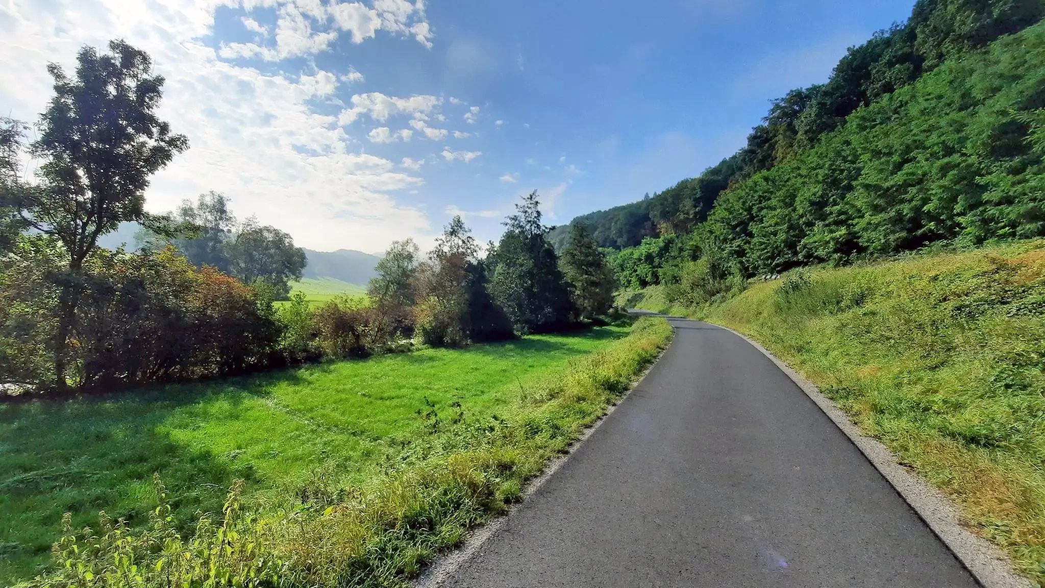
Ride from Grabfeld to the Main in Germany – Franconian Saale Cycle Route

Extra tours South - Excellent premium hiking trails of the Rhön

Discover Rhön - Half-day tours through the biosphere reserve

Naturlehrpfade – Natur und Wissen
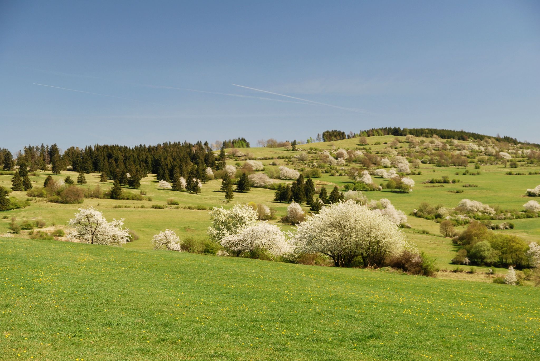
Extra tours North - excellent premium hiking trails of Rhön

Discover the Green Belt in the Rhön with BUND
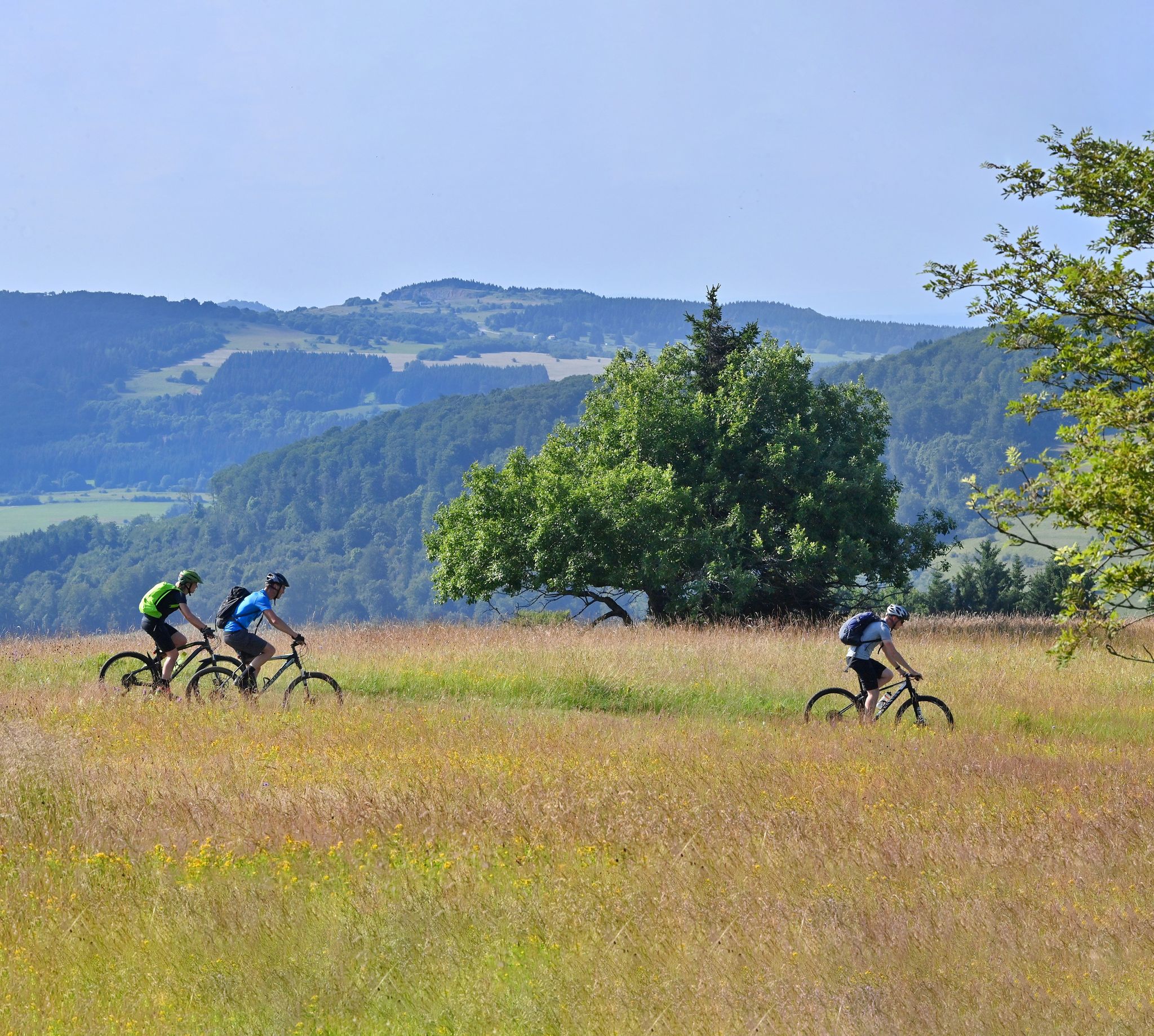
Mountain bike routes in the Rhön
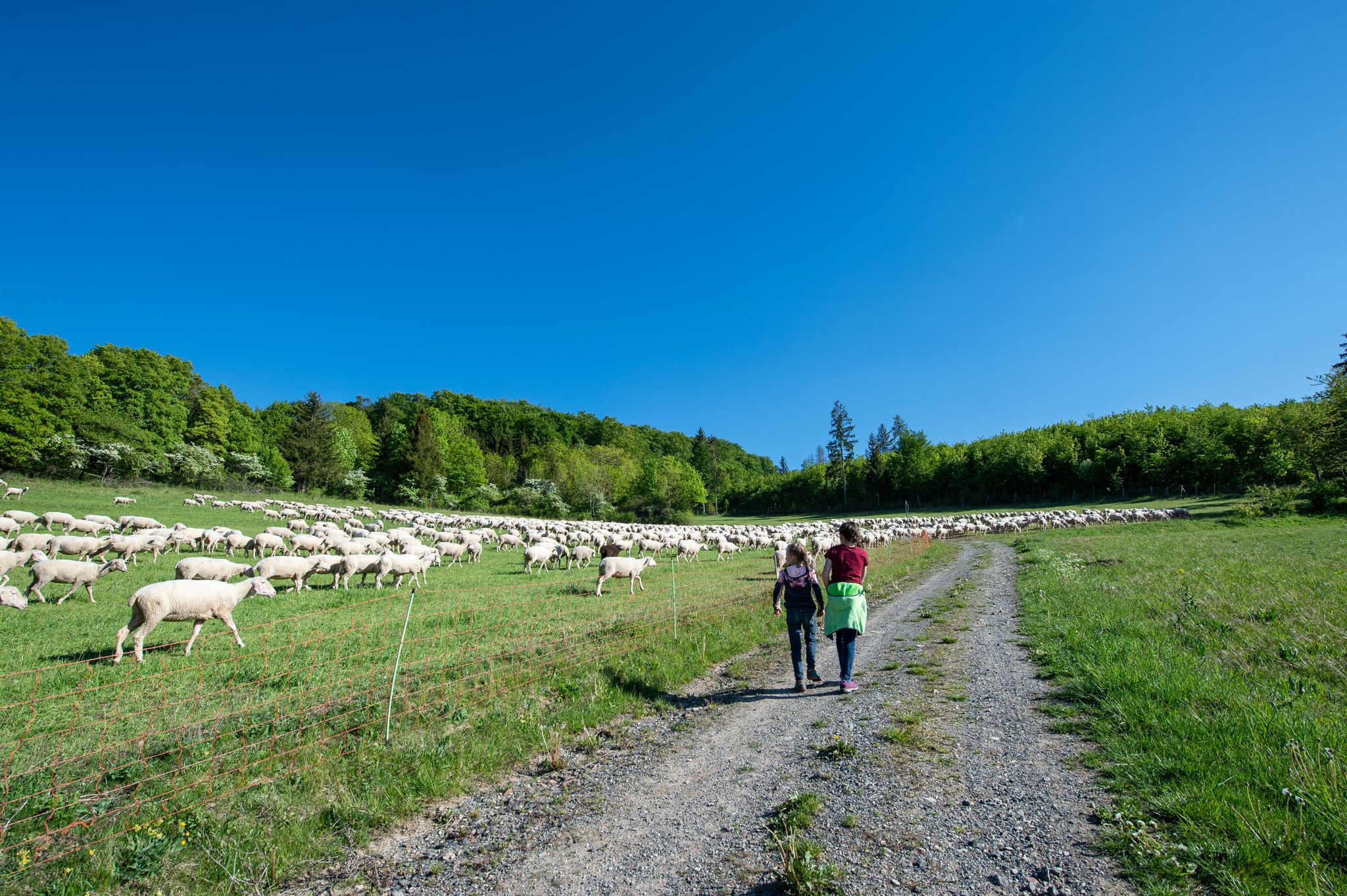
Family paths - on the way with kids in the Rhön
Other adventures in Lsg "Bayerische Rhön"


Tips from the Community


One of the last raised bogs in Hesse. Peat mining was stopped here in 1986… Today, renaturation is the magic word
13
0

You can stop by
3
0

Really nice and quiet in the morning. From 12pm onwards it is often very busy.
1
1

After the climb you have a fantastic view.
1
0

This small fountain is located on the way down from Kreuzberg to Neustädter Haus.
0
0

Nice view and a good place to take a break.
1
0
Frequently Asked Questions
How many mountaineering routes are available in Lsg "Bayerische Rhön"?
There are over 10 mountaineering routes in Lsg "Bayerische Rhön" listed on komoot, offering a range of experiences from easy loops to more challenging ascents. The region's unique volcanic landscape provides varied terrain for exploration.
Are there any easy mountaineering routes suitable for beginners in Lsg "Bayerische Rhön"?
Yes, there are routes suitable for beginners. For example, the Sturmiusberg loop from Windheim is an easy 2.3-mile (3.6 km) trail that takes about an hour to complete, leading through varied forest and open landscapes.
What kind of landscapes can I expect to see while mountaineering in Lsg "Bayerische Rhön"?
Lsg "Bayerische Rhön" is known as the 'land of endless horizons' due to its expansive views and unique volcanic origins. You'll encounter dome-shaped mountains, basalt columns, vast basalt block fields, spooky moors, colorful mountain meadows, and shady beech forests. The region's status as a UNESCO Biosphere Reserve ensures a pristine natural environment.
Are there any circular mountaineering routes in Lsg "Bayerische Rhön"?
Yes, many routes in the region are circular. A popular option is the Marienbrünnlein – Kreuzberg Summit loop from Unterweißenbrunn, an 8.5-mile (13.6 km) trail that offers a comprehensive ascent to the Kreuzberg summit.
What are some notable landmarks or attractions I can visit along the mountaineering routes?
The region offers several interesting points. You can visit the historic Franciscan monastery at the summit of Kreuzberg, known for its traditional Klosterbier. For natural attractions, consider exploring the Eisgraben Waterfall or the Devil's Mill Waterfall. The Schwarzbach Gorge is also a significant natural feature.
What do other mountaineers say about the routes in Lsg "Bayerische Rhön"?
The mountaineering routes in Lsg "Bayerische Rhön" are highly rated by the komoot community, with an average score of 4.0 stars. Reviewers often praise the varied terrain, the rewarding views from the summits, and the well-maintained trails that traverse cool valleys and dense forests.
Are there any routes that pass by the Kreuzberg Monastery?
Yes, several routes incorporate the Kreuzberg Monastery. The View from the summit of Kreuzberg – Kreuzberg Monastery loop from Bischofsheim in der Rhön is a moderate 4.4-mile (7.1 km) path that provides rewarding views and passes by this historic site.
What is the highest point I can reach on a mountaineering route in the Bavarian Rhön?
While the Wasserkuppe (950.2 m) is the highest in the entire Rhön, the highest peak within the Bavarian Rhön is the Dammersfeldkuppe (928 m). Many routes, like those around Kreuzberg, offer significant ascents and expansive views.
Can I find routes that offer panoramic views of the region?
Absolutely. The Rhön is famous for its 'endless horizons.' Routes that ascend to higher elevations, such as those around Kreuzberg, often provide far-reaching views where you can see as far as the Thuringian Forest, Steigerwald, Taunus, Vogelsberg, and Hessian Kegelspiel on clear days.
Are there any routes that explore historical sites or ruins?
Yes, you can combine your mountaineering with a visit to historical sites. For instance, the Osterburg castle ruins – Kreuzberg Monastery loop from Bischofsheim in der Rhön is a moderate 6.9-mile (11.1 km) route that allows you to explore both natural beauty and historical remnants.
What makes mountaineering in Lsg "Bayerische Rhön" unique compared to other low mountain ranges?
The Lsg "Bayerische Rhön" stands out due to its distinct volcanic origins, which have created unique dome-shaped mountains and basalt formations. Unlike many other German low mountain ranges, it features extensive, open plateaus that offer unimpeded, far-reaching views, earning it the nickname 'land of endless horizons'.
Most popular routes in Lsg "Bayerische Rhön"
Most popular attractions in Lsg "Bayerische Rhön"

Get inspired with the komoot mobile app


Explore more
Browse the best Mountain Hikes & Routes in other regions.
