The best walks and hikes in Sinnquellgebiet Und Arnsbergsüdhang
4.6
(16008)
58,217
hikers
739
hikes
Hiking in Sinnquellgebiet Und Arnsbergsüdhang offers exploration within a protected natural reserve in the Rhön-Grabfeld district of Bavaria, Germany. This region features a diverse low mountain range landscape, including the source areas of the Sinn river and the varied terrain of the Arnsbergsüdhang. The area's protected status ensures a preserved environment for outdoor activities, characterized by its natural beauty and biodiversity. An extensive network of trails provides opportunities to experience this unique topography.
Best hiking trails in Sinnquellgebiet Und Arnsbergsüdhang
…Last updated: July 11, 2026
4.8
(83)
271
hikers
Hard hike. Very good fitness required. Easily-accessible paths. Suitable for all skill levels.
4.8
(26)
63
hikers
Moderate hike. Good fitness required. Easily-accessible paths. Suitable for all skill levels.

Sign up for free
4.6
(11)
29
hikers
Moderate hike. Good fitness required. Easily-accessible paths. Suitable for all skill levels.
4.8
(836)
2,909
hikers
13.3km
04:01
450m
450m
Moderate hike. Good fitness required. Mostly accessible paths. Sure-footedness required.
4.8
(447)
1,668
hikers
Moderate hike. Good fitness required. Easily-accessible paths. Suitable for all skill levels.
Get access to more routes and recommendations from other explorers.
Sign up for free
Already have an account?
Our route recommendations are based on thousands of hikes, rides, and runs completed by other people on komoot.
Start today with a free account
Your next adventure awaits.
Login or Signup
Popular around Sinnquellgebiet Und Arnsbergsüdhang
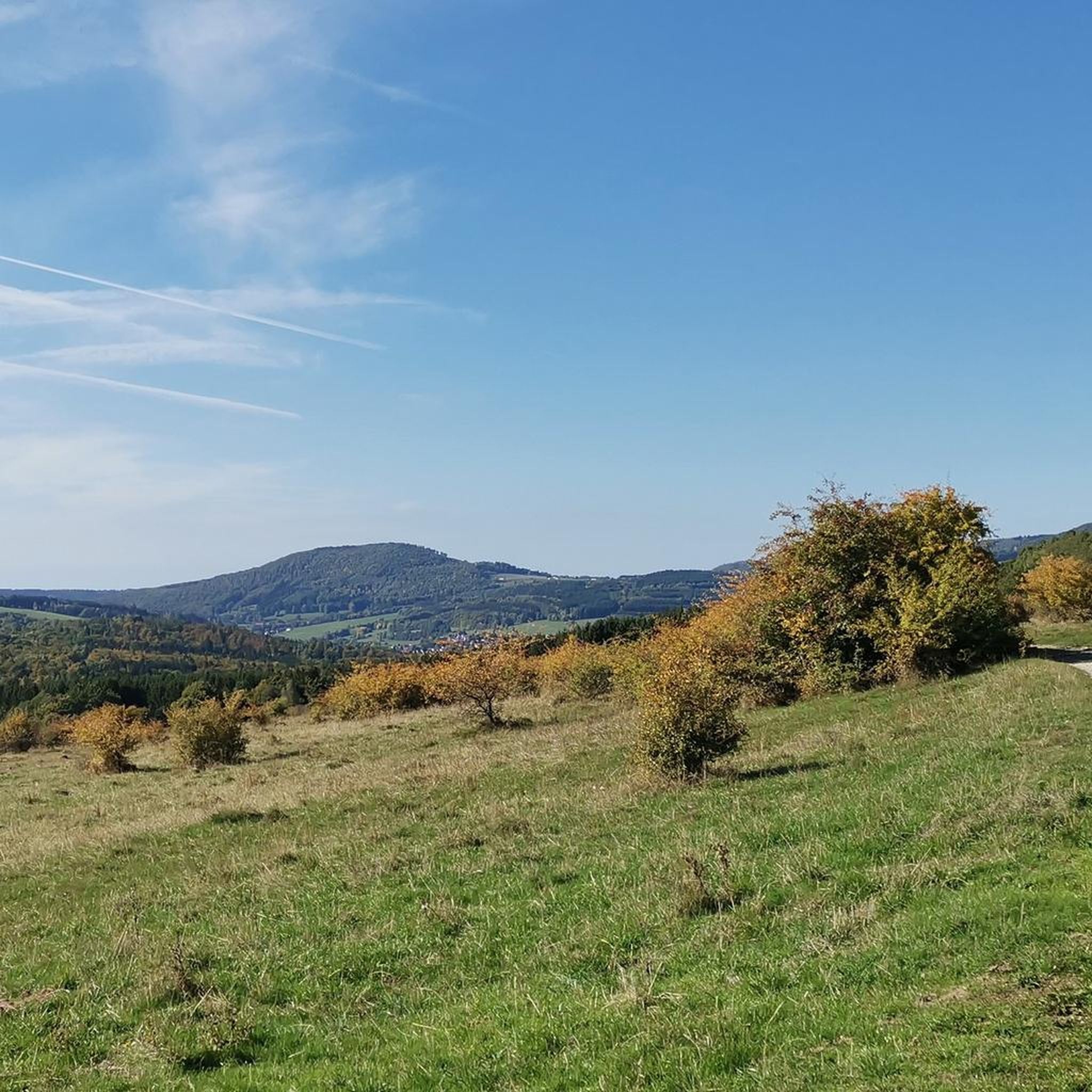
Cycling in Sinnquellgebiet Und Arnsbergsüdhang
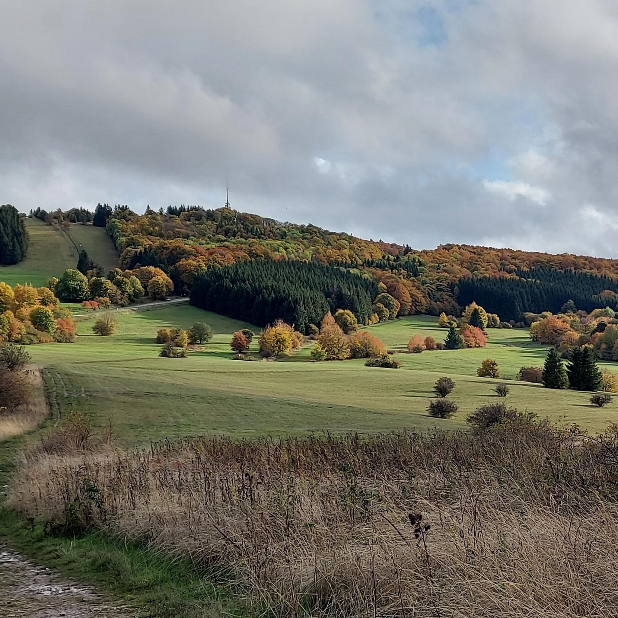
MTB Trails in Sinnquellgebiet Und Arnsbergsüdhang
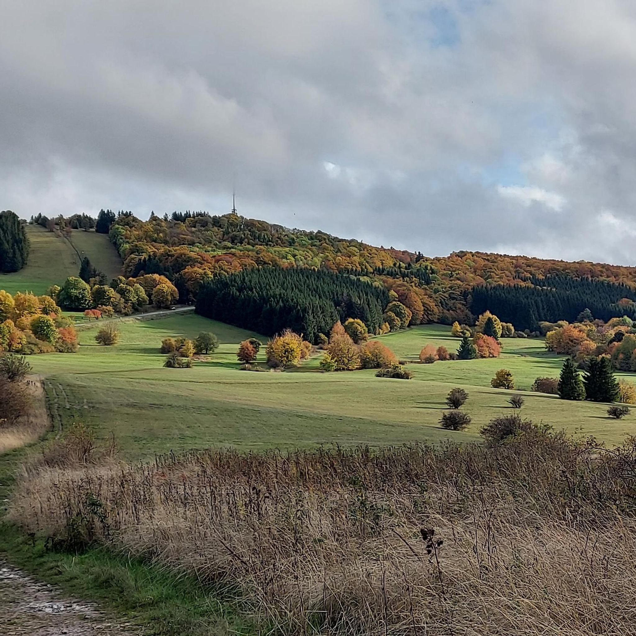
Road Cycling Routes in Sinnquellgebiet Und Arnsbergsüdhang

Gravel biking in Sinnquellgebiet Und Arnsbergsüdhang
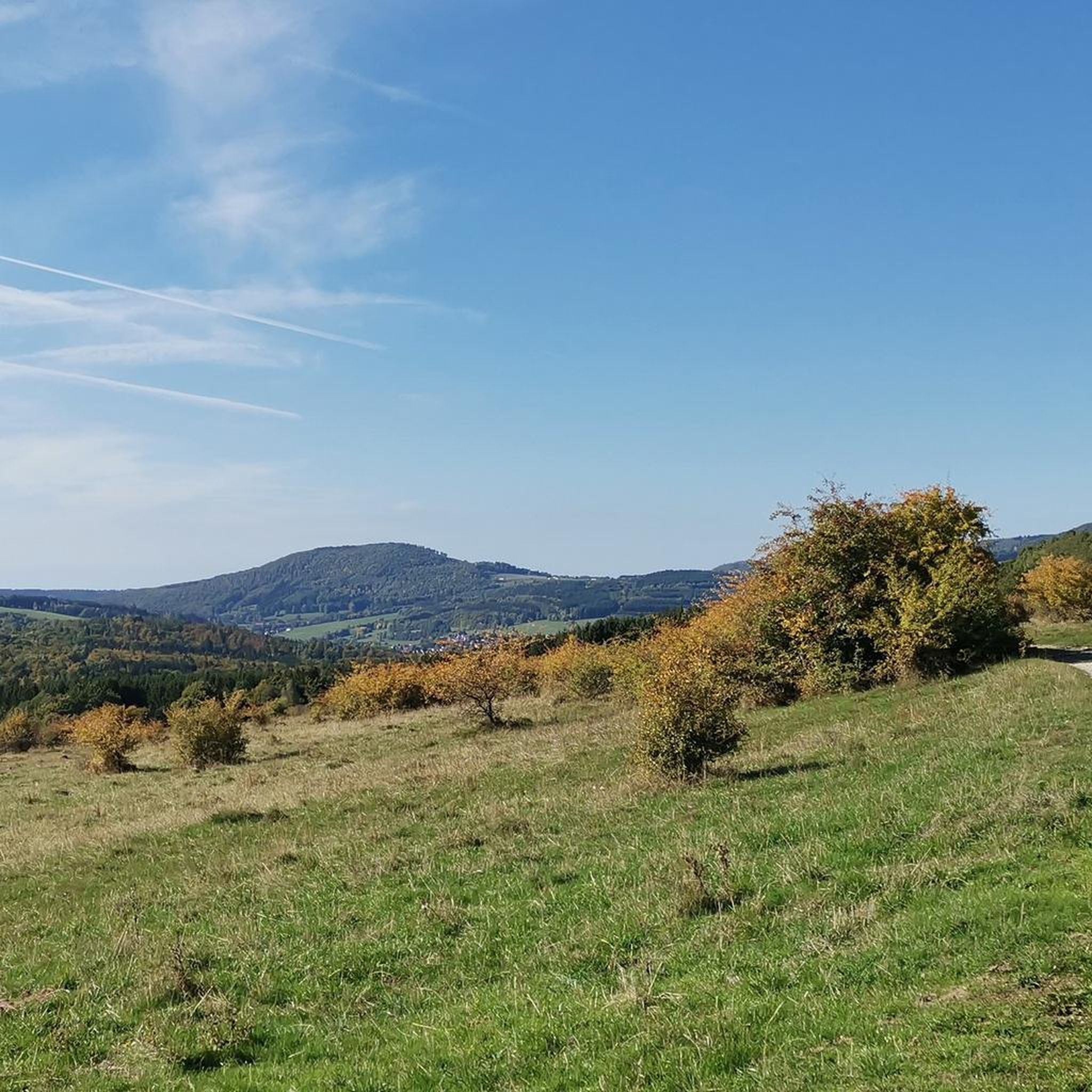
Running Trails in Sinnquellgebiet Und Arnsbergsüdhang

Mountain Hikes in Sinnquellgebiet Und Arnsbergsüdhang
Tips from the Community

Beautiful view of Haselbach and the Osterburg mountain.
1
0

Very beautiful slabs in front of the monastery church next to the ascent to the crucifixion group.
0
0
Probably the most famous of the Franconian apostles. A fountain for Saint Kilian.
0
0
On the mountain of the Franks, in the monastery there is everything for body and soul.
0
0
View halfway to the Osterburg on the beautiful town of Bischofsheim.
1
0
Beautiful trail with a view over to the Kreuzberg, which leads directly up to the Osterburg.
1
0
The Kreuzberg is the biggest visitor magnet in the Bavarian Rhön. All year round, the Franciscan monastery Kreuzberg with its monastery beer attracts holidaymakers from near and far to the Holy Mountain of the Franconians. After a strengthening meal in the monastery tavern, the ascent to the summit of the Kreuzberg can be managed, from where you get a magnificent view into the Southern Rhön, the Hessian Rhön and the Thuringian Forest. Quelle: https://www.biosphaerenreservat-rhoen.de/mensch/tourismus-gastronomie-und-erholung/schaetze-der-rhoen/der-kreuzberg
1
0
On Sebastian's Day, forest workers from Bavaria, Hesse, and Thuringia give thanks for an accident-free working year in a church service on the Kreuzberg.
1
0
Frequently Asked Questions
What kind of landscape can I expect when hiking in Sinnquellgebiet Und Arnsbergsüdhang?
Sinnquellgebiet Und Arnsbergsüdhang is characterized by its diverse low mountain range landscape, known as "Mittelgebirgslandschaft." You'll find picturesque source areas of the Sinn river and the varied terrain of the Arnsberg south slope. The entire area is a protected natural reserve, ensuring an undisturbed environment with rich biodiversity.
How many hiking trails are available in Sinnquellgebiet Und Arnsbergsüdhang?
There are over 740 hiking trails in Sinnquellgebiet Und Arnsbergsüdhang, catering to various preferences and fitness levels. This extensive network allows for diverse exploration of the region's natural beauty.
What are the difficulty levels of hiking trails in Sinnquellgebiet Und Arnsbergsüdhang?
The trails in Sinnquellgebiet Und Arnsbergsüdhang offer a range of difficulty levels. You'll find over 310 easy routes, more than 350 moderate paths, and around 70 challenging trails, ensuring options for every hiker.
Are there any family-friendly hiking trails in Sinnquellgebiet Und Arnsbergsüdhang?
Yes, with over 310 easy routes, there are many options suitable for families and casual walkers. These trails often feature gentler inclines and shorter distances, perfect for an enjoyable outing with children. For example, the 3.2 km "Kloster Kreuzberg – Auf dem Kreuzberg" circular trail is a popular local option.
What notable landmarks or viewpoints can I see along the hiking trails?
Hikers can enjoy views of Arnsberg and Bischofsheim from various vantage points. The Kreuzbergsattel and the prominent Kloster Kreuzberg (Kreuzberg Monastery) are significant landmarks. You can also explore the source of the Sinn river, which is a key natural feature of the area. Other points of interest include the Arnsberg Sandstone Wayside Shrine and the Limestone Path on the South Slope of Arnsberg.
Are there any circular hiking routes in Sinnquellgebiet Und Arnsbergsüdhang?
Yes, many trails in the region are designed as circular routes, allowing you to start and end at the same point. A popular moderate option is the On the Kreuzberg – Kreuzberg Monastery loop, which explores the area around the monastery.
What do other hikers enjoy most about hiking in Sinnquellgebiet Und Arnsbergsüdhang?
The area is highly rated by the komoot community, with an average score of 4.6 stars from over 15,000 reviews. Reviewers often praise the well-maintained trails, the diverse low mountain range scenery, and the peaceful, protected natural environment. Many appreciate the variety of routes, from easy strolls to more demanding ascents.
Are there any trails that offer views of specific towns or areas?
Yes, several routes provide scenic vistas. For example, the View of Sandberg – Kreuzberg Monastery loop offers expansive views, while the Osterburg Ruins – View of Bischofsheim loop provides perspectives of Bischofsheim and the surrounding low mountain range landscape.
Can I find trails that lead to the Kreuzberg Monastery?
Absolutely. The Kloster Kreuzberg is a central landmark and a frequent starting or ending point for many hikes. The Kreuzberg Monastery – View of Sandberg loop is a moderate trail that includes this significant site.
Are there any trails specifically known for water features like waterfalls or springs?
The region is home to the source areas of the Sinn river, which is a significant natural feature. While specific waterfall hikes are mentioned in the broader region, the Sinnquellgebiet itself is known for its springs and the beginnings of the river. The "St.-Kilian-Brunnen Runde" is an easy option that highlights a local spring.
What is the best time of year to go hiking in Sinnquellgebiet Und Arnsbergsüdhang?
The diverse low mountain range landscape of Sinnquellgebiet Und Arnsbergsüdhang is beautiful throughout the year. Spring brings blooming flora, summer offers lush greenery, and autumn provides vibrant colors. Even winter can be appealing for those who enjoy snowy landscapes, though conditions may vary.
Are there any long-distance hiking options in the area?
While many trails are day hikes, the extensive network allows for longer combinations. For a more challenging and longer experience, consider the Extratour Kreuzbergtour - Bischofsheim - Rhön, which covers over 13 km and offers significant elevation changes.
Most popular routes in Sinnquellgebiet Und Arnsbergsüdhang
Most popular attractions in Sinnquellgebiet Und Arnsbergsüdhang

Get inspired with the komoot mobile app


Explore more
Browse the best Hikes in other regions.
