The best walks and hikes in Steinberg Und Wein-Berg
4.6
(22345)
75,226
hikers
840
hikes
Hiking trails in Steinberg Und Wein-Berg are primarily found within the natural park in Landkreis Rhön-Grabfeld, characterized by a diverse landscape of rolling hills, dense woodlands, and open meadows. The region features elevations that range from gentle slopes to more pronounced hills, offering varied terrain for hikers. This area is known for its natural features, including streams and small lakes, providing a mix of forest and water-adjacent paths.
Best hiking trails in Steinberg Und Wein-Berg
- The most popular hiking route…
Last updated: October 14, 2026
4.8
(18)
57
hikers
9.91km
02:56
280m
280m
Moderate hike. Good fitness required. Easily-accessible paths. Suitable for all skill levels.
4.8
(455)
1,348
hikers
Moderate hike. Good fitness required. Easily-accessible paths. Suitable for all skill levels.

4.8
(451)
1,326
hikers
Moderate hike. Good fitness required. Easily-accessible paths. Suitable for all skill levels.
4.5
(17)
54
hikers
Moderate hike. Good fitness required. Easily-accessible paths. Suitable for all skill levels.
4.9
(15)
77
hikers
6.91km
02:01
190m
190m
Moderate hike. Good fitness required. Easily-accessible paths. Suitable for all skill levels.
Get access to more routes and recommendations from other explorers.
Already have an account?
Our route recommendations are based on thousands of hikes, rides, and runs completed by other people on komoot.
Start today with a free account
Your next adventure awaits.


Tips from the Community

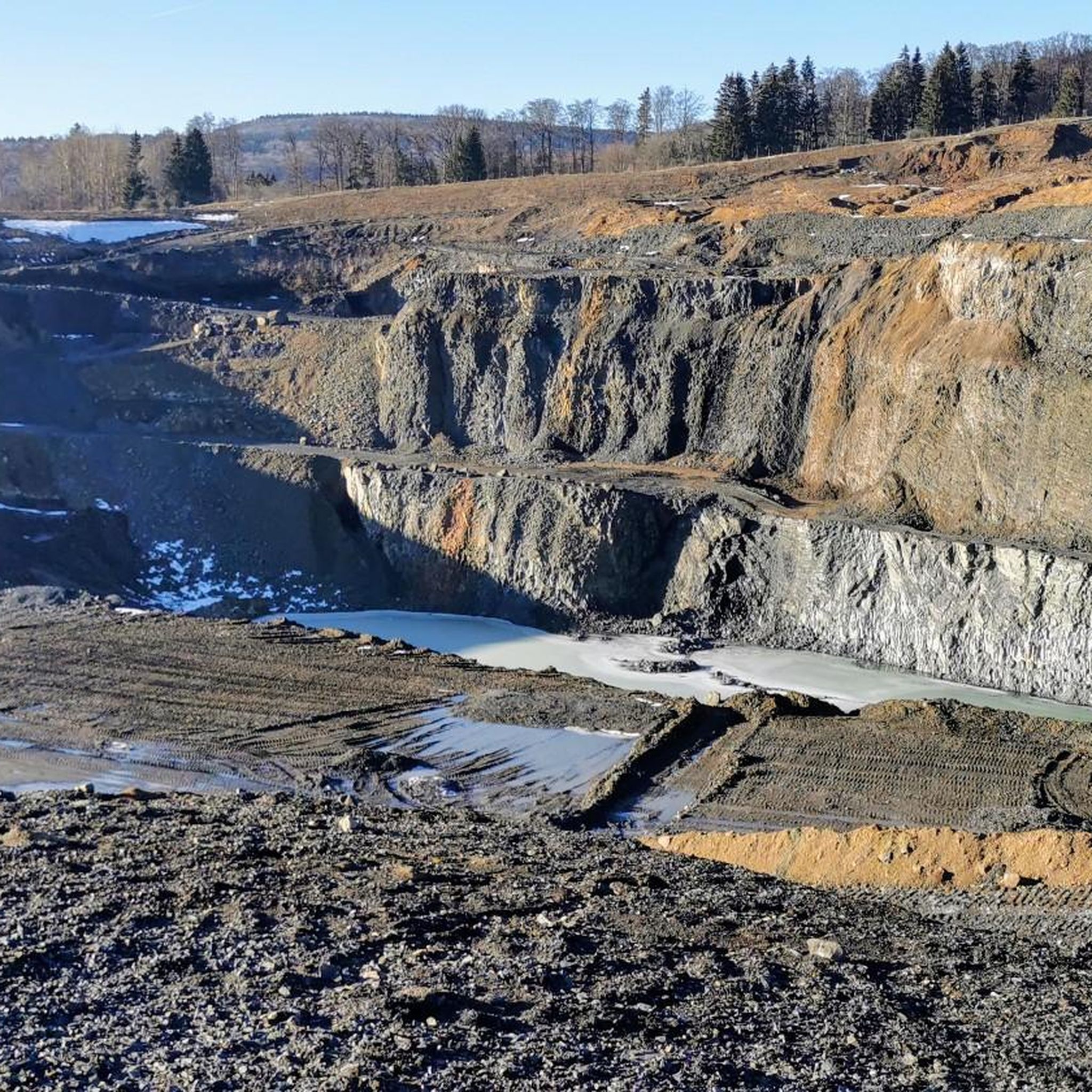
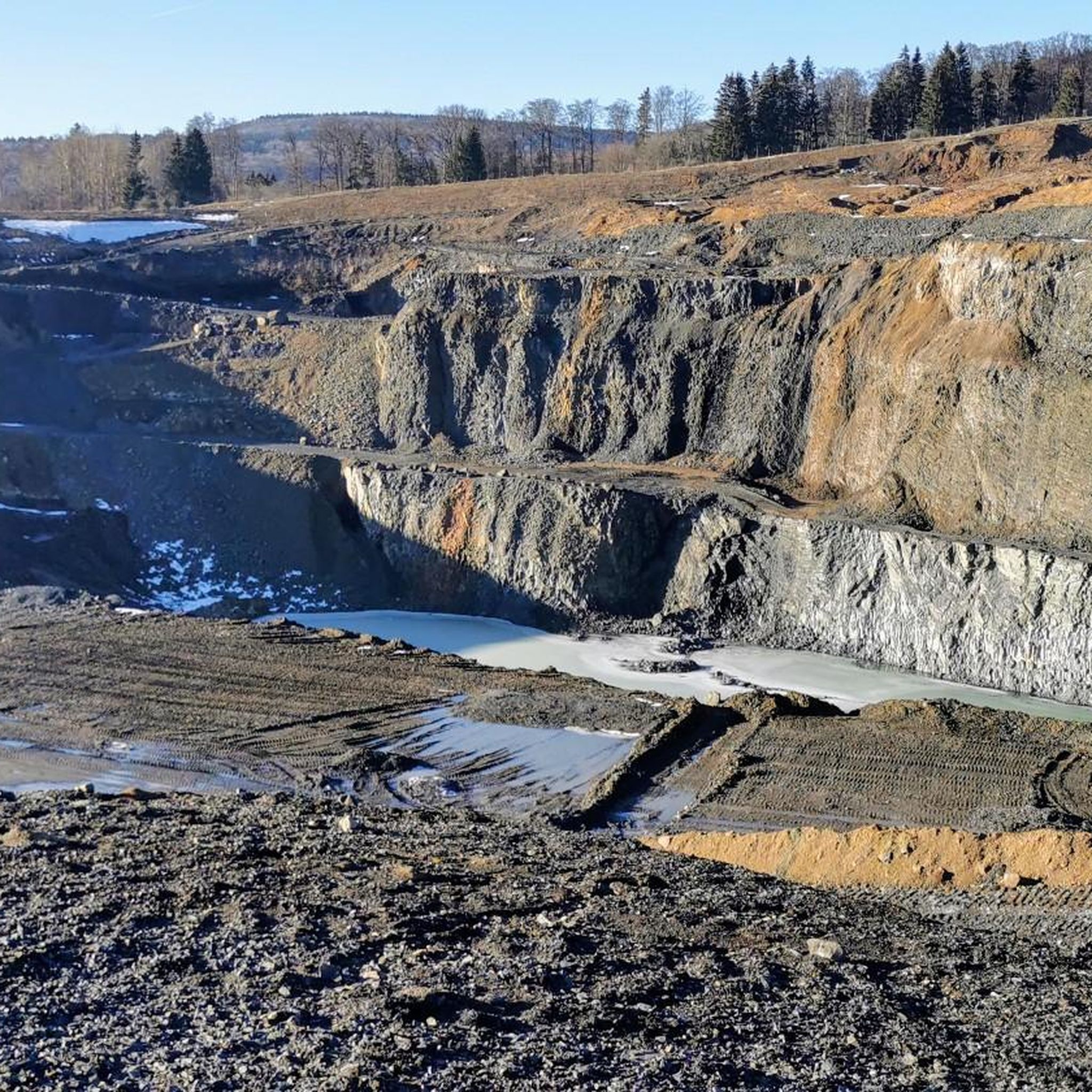
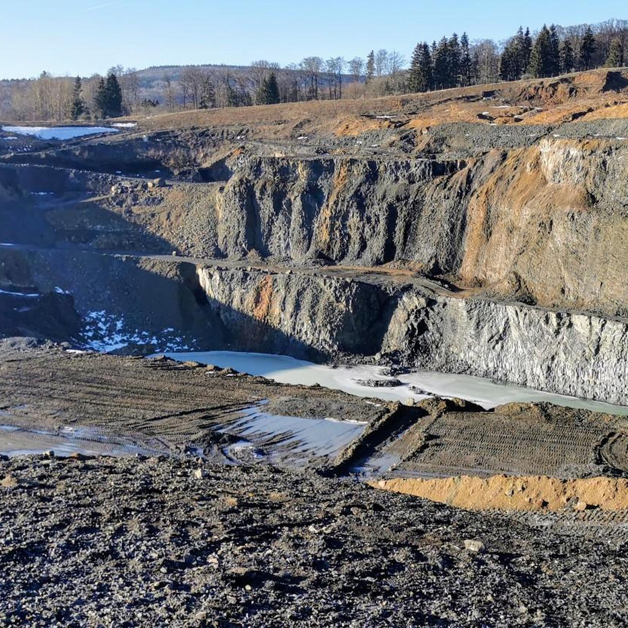
did nature itself shape and set this up?
0
0

Barren high plateau landscape with great flora and beautiful views
0
0

Absolute peace and quiet during the week
0
0

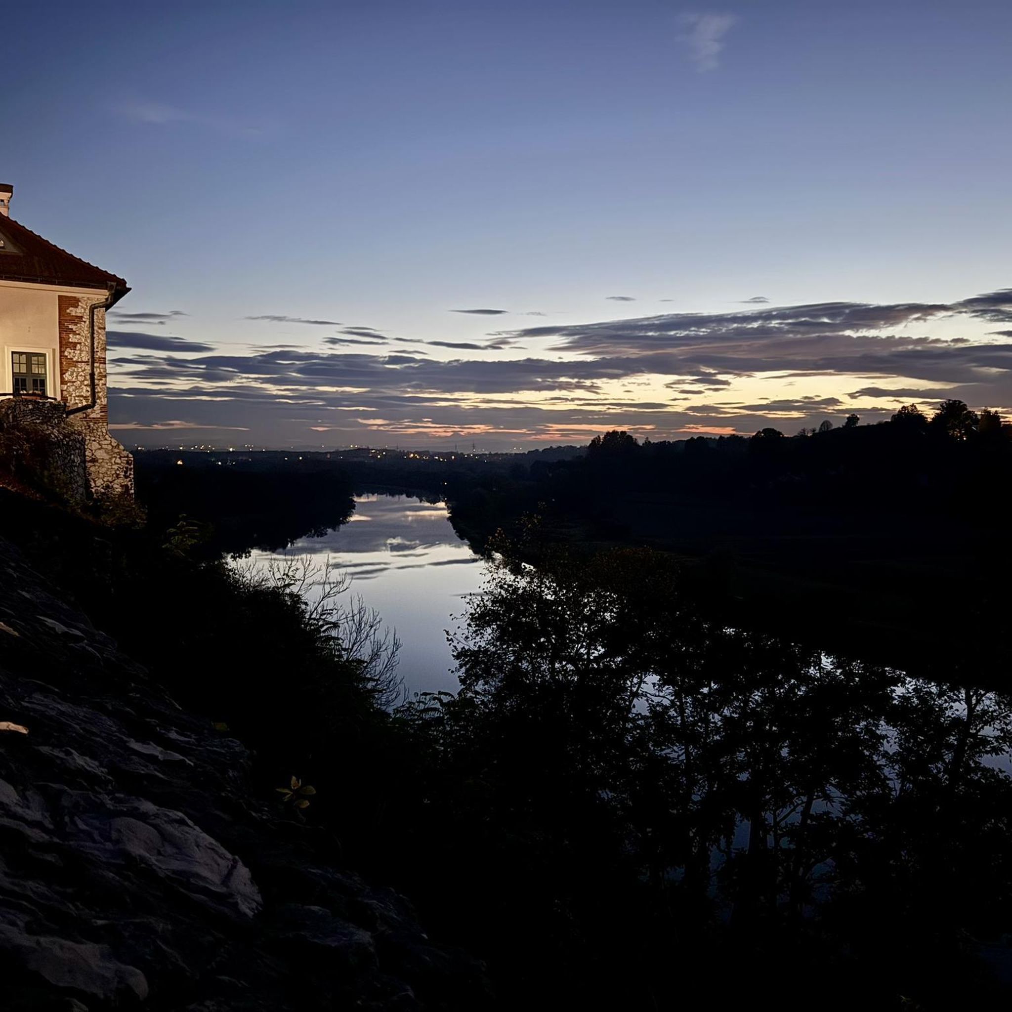
Wonderful view over the flat land, a few trees offer protection from the wind
13
0

A good starting point for beautiful tours.
1
0


Nature Trail Information Board
1
0
Beautiful meadows in the Rhön
2
0
Frequently Asked Questions
How many hiking trails are there in Steinberg Und Wein-Berg?
The Steinberg Und Wein-Berg region offers a wide variety of hiking opportunities, with over 840 routes available for exploration. These trails cater to all levels, from easy strolls to more challenging ascents.
What kind of landscapes can I expect to see while hiking in Steinberg Und Wein-Berg?
The region is characterized by diverse landscapes, including rolling hills, dense woodlands, and open meadows. You'll find paths alongside streams and small lakes, offering a mix of forest and water-adjacent scenery. Specific areas like Steinberg in Vogtlandkreis feature picturesque rolling hills and lush green forests, while Hattenheim-Steinberg in Rheingau is famous for its expansive vineyards.
Are there easy hiking trails suitable for beginners or families?
Yes, Steinberg Und Wein-Berg offers numerous easy trails. Out of over 840 routes, nearly 400 are classified as easy, making them perfect for beginners or families. For example, the View from Kalte Buche – Liederbach Stream Crossing loop from Weisbach is a moderate trail that can be enjoyed by many, offering scenic views and stream crossings.
What are some notable natural features or landmarks I can discover on the trails?
Hikers can discover a range of natural features and landmarks. In the Rhön-Grabfeld area, you'll encounter streams like the Liederbach and scenic spots around the Rothsee, as seen on the Jagdschloss Holzberghof – Fisherman's Hut at Rothsee loop. Other regions offer unique sights: Vogtlandkreis has the Kuhberg with its herbal nature trail, and Hainich National Park features ancient beech forests and impressive fallen trees along the Steinbergweg.
Are there any circular hiking routes in the area?
Yes, many routes in Steinberg Und Wein-Berg are circular, allowing you to start and end at the same point. Popular options include the View from Kalte Buche – Liederbach Stream Crossing loop from Weisbach and the Rothsee parking lot loop from Feuchtbereiche am Steizbrunn-Graben. In Austria, the Panoramarunde Steinberg offers a varied two-hour circular walk with magnificent views.
What is the best time of year to go hiking in Steinberg Und Wein-Berg?
The best time to hike largely depends on the specific region and your preferences. Spring brings vibrant greenery, especially around Kuhberg in Vogtlandkreis. Summer is ideal for enjoying the open landscapes and vineyards. Autumn offers beautiful foliage. While some areas are suitable for winter hiking, it's always advisable to check local conditions, especially in alpine regions like Steinberg am Rofan, where trails can be more challenging.
Can I bring my dog on the hiking trails?
Many trails in the Steinberg Und Wein-Berg region are dog-friendly, allowing you to enjoy the outdoors with your canine companion. However, it's always recommended to check specific trail regulations or local signage, especially in nature reserves or national parks, to ensure dogs are permitted and if they need to be on a leash.
What do other hikers enjoy most about hiking in Steinberg Und Wein-Berg?
The area is highly rated by the komoot community, with an average score of 4.6 stars from over 18,000 reviews. Hikers often praise the varied terrain, from forested hills to stream valleys and open landscapes, and the well-maintained paths. The mix of natural beauty and options for different ability levels makes it a popular choice for many.
Are there challenging hiking trails for experienced hikers?
Yes, for experienced hikers seeking a challenge, there are 73 difficult routes available. While the Rhön-Grabfeld area offers moderate climbs, regions like Steinberg am Rofan in Austria provide demanding alpine environments, such as the Guffert Summit Tour, which includes rocky sections and wire rope secured paths.
Are there places to eat or stay near the hiking trails?
Yes, depending on the specific location within Steinberg Und Wein-Berg, you can find options for refreshments and accommodation. In vineyard regions like Hattenheim-Steinberg, you might find places like the Schwarzes Häuschen offering local wines and snacks. Many communities near popular hiking areas will have cafes, pubs, and guesthouses. It's best to research specific towns or villages along your chosen route for local amenities.
How can I get to the hiking areas by public transport?
Public transport options vary significantly across the diverse Steinberg Und Wein-Berg regions. Some areas, especially those closer to towns, may have bus connections. For instance, Partenheim, with its Biblical Wine Trail, is likely accessible. However, more remote areas, particularly in national parks or alpine regions, might require private transport. It's advisable to check local public transport schedules for the specific starting point of your chosen hike.
Most popular routes in Steinberg Und Wein-Berg

Get inspired with the komoot mobile app


Explore more
Browse the best Hikes in other regions.
