Trockenverbundgebiet Rhön - Grabfeld
Trockenverbundgebiet Rhön - Grabfeld
The best MTB trails in Trockenverbundgebiet Rhön - Grabfeld
4.6
(1417)
4,627
riders
494
rides
Mountain bike trails in Trockenverbundgebiet Rhön - Grabfeld traverse a unique landscape characterized by dry and sunny areas, featuring special vegetation, geology, and rocky formations. This region, one of the driest in Unterfranken, offers varied terrain from rolling hills and deep valleys to forests. It is part of the Rhön UNESCO Biosphere Reserve, ensuring diverse ecosystems. Well-maintained trails provide firm and fast-rolling surfaces for mountain biking.
Best mountain bike trails in Trockenverbundgebiet Rhön - Grabfeld
- The most popular mountain bike…
Last updated: July 14, 2026
4.6
(16)
50
riders
35.7km
02:34
410m
410m
Moderate mountain bike ride. Good fitness required. Advanced riding skills necessary.
4.7
(3)
9
riders
Moderate mountain bike ride. Good fitness required. Suitable for all skill levels.

Sign up for free
5.0
(3)
11
riders
47.7km
04:01
840m
840m
Moderate mountain bike ride. Good fitness required. Advanced riding skills necessary.
4.3
(3)
4
riders
55.5km
04:11
1,000m
1,000m
Hard mountain bike ride. Very good fitness required. Advanced riding skills necessary.
7
riders
Moderate mountain bike ride. Good fitness required. Advanced riding skills necessary.
Get access to more routes and recommendations from other explorers.
Sign up for free
Already have an account?
Our route recommendations are based on thousands of hikes, rides, and runs completed by other people on komoot.
Start today with a free account
Your next adventure awaits.
Login or Signup
Popular around Trockenverbundgebiet Rhön - Grabfeld
Tips from the Community

Beautiful panoramic view of Bischofsheim and the Wasserkuppe. A spur path leads to this viewpoint with seating.
1
0

It's beautiful at the Streu. Great for a short relaxing walk
0
0

Beer 🍺 is still brewed at the monastery.
0
0


The Himmeldunkberg or Himmeldunk is an 887.9 m high mountain of volcanic origin in the Rhön.
0
0

Bridge over the Els near Bastheim with historical Nepomuk figure
0
0

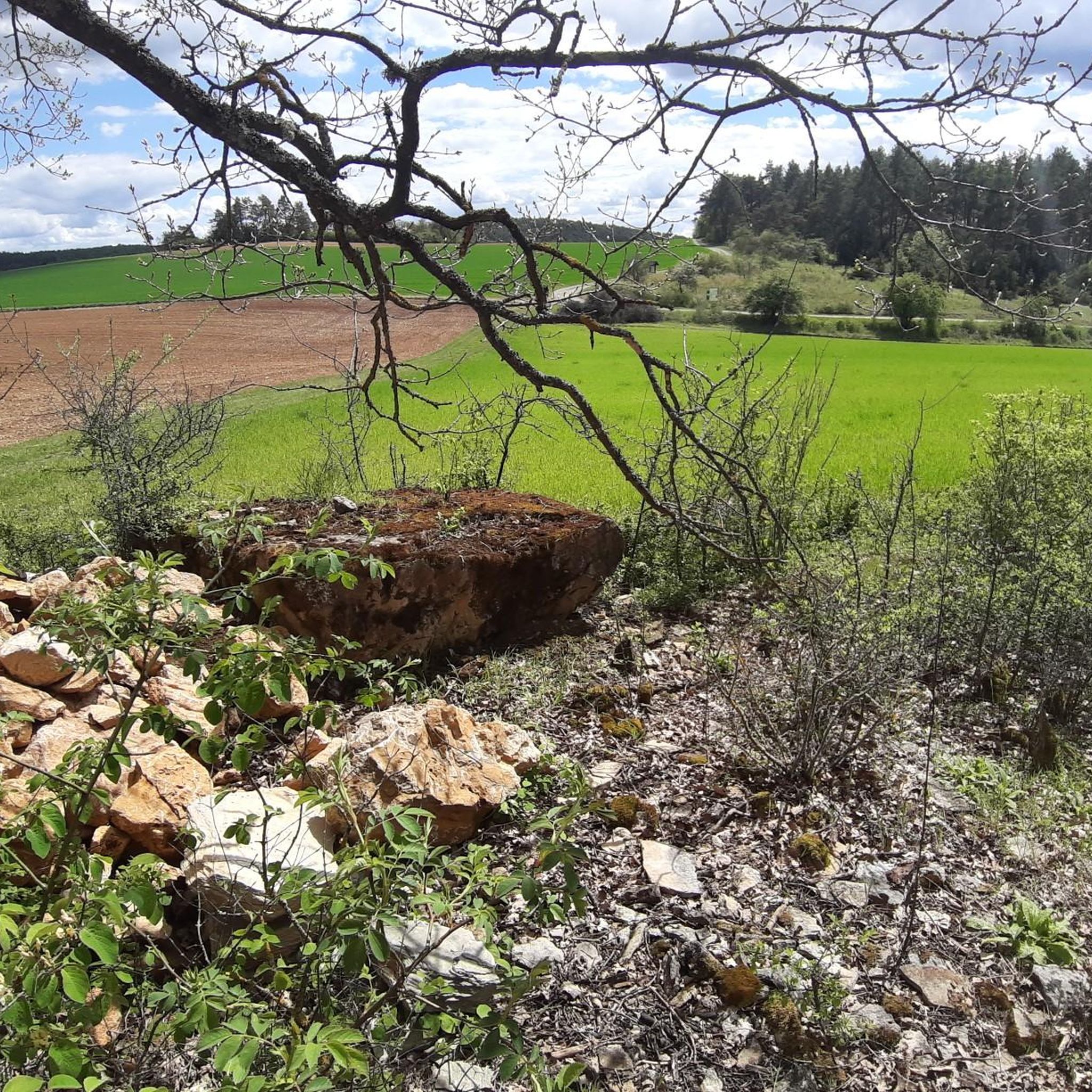
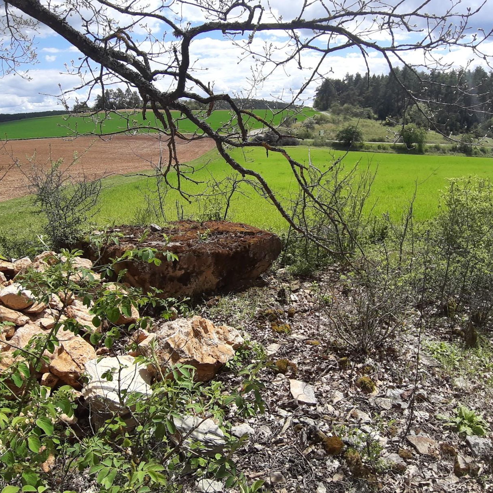
This stone made it possible for Oberwaldbehrungen and Urspringen to be incorporated into the town of Ostheim v.d. Rhön - opposite the information board there is a nice rest area
0
0
Frequently Asked Questions
How many mountain bike trails are available in Trockenverbundgebiet Rhön - Grabfeld?
There are over 500 mountain bike trails in Trockenverbundgebiet Rhön - Grabfeld, offering a wide range of options for different skill levels and preferences.
What kind of terrain can I expect on mountain bike trails in Trockenverbundgebiet Rhön - Grabfeld?
The region is known for its unique dry and sunny areas, featuring special vegetation, geology, and rocky formations. You'll encounter diverse terrain, including dry grasslands, rolling hills, deep valleys, and extensive forests. Well-maintained trails often provide firm and fast-rolling surfaces.
What are the difficulty levels of mountain bike trails in Trockenverbundgebiet Rhön - Grabfeld?
The trails cater to various skill levels. You'll find over 100 easy routes, more than 360 moderate routes, and nearly 60 difficult routes, ensuring options for beginners to experienced riders.
Are there any circular mountain bike routes in Trockenverbundgebiet Rhön - Grabfeld?
Yes, many routes in the region are designed as loops. For example, the Stein der Weisen Memorial – Streu River in Ostheim loop from Unterwaldbehrungen is a moderate 19.4 km circular trail.
When is the best time of year for mountain biking in Trockenverbundgebiet Rhön - Grabfeld?
Given its characteristic dry and sunny conditions, spring, summer, and early autumn are generally excellent times for mountain biking. The firm, fast-rolling surfaces are particularly enjoyable during drier periods.
What do other mountain bikers enjoy the most about mountain biking in Trockenverbundgebiet Rhön - Grabfeld?
The area is highly rated by the komoot community, with an average score of 4.6 stars from over 1600 reviews. Riders often praise the diverse terrain, from dry grasslands to forests, and the variety of trails suitable for different abilities.
Are there any notable landmarks or viewpoints along the mountain bike trails?
Yes, the broader Rhön-Grabfeld region offers several points of interest. You might encounter historical sites like the Jewish Cemetery Oberwaldbehrungen or the View of Hallstatt-Era Burial Mounds. The region also features prominent peaks like the Wasserkuppe and Kreuzberg, offering panoramic views, and the unique Black Moor (Schwarzes Moor) in the Rhön Biosphere Reserve.
Are there family-friendly mountain bike trails in Trockenverbundgebiet Rhön - Grabfeld?
Yes, with over 100 easy routes, there are plenty of options suitable for families. These trails often feature less challenging terrain and elevation, providing an enjoyable experience for riders of all ages.
Can I bring my dog on the mountain bike trails?
Many trails in the Rhön-Grabfeld region are dog-friendly, but it's always advisable to check local regulations or specific trail signage. Ensure your dog is well-behaved, on a leash where required, and that you carry water for them, especially given the region's dry conditions.
Are there any challenging routes for advanced mountain bikers?
Absolutely. The region offers nearly 60 difficult routes for experienced riders seeking a challenge. For example, the Kreuzberg Flowtrail – Kreuzberg Flowtrail Entrance loop from Bastheim is a moderate route with significant elevation gain, leading towards the prominent Kreuzberg mountain.
What is the Rhön Biosphere Reserve and how does it relate to mountain biking?
The entire Rhön-Grabfeld district is part of the Rhön UNESCO Biosphere Reserve, which protects its diverse ecosystems, including the valuable dry habitats. This designation ensures the preservation of the natural landscape, meaning you'll be riding through a well-maintained and ecologically significant area.
Are there opportunities to explore river valleys while mountain biking?
Yes, beyond the dry areas, the region features river valleys like those of the Franconian Saale and Brend. The Streutalbahn Railway Path – Streutal Cycle Path loop from Bastheim is a popular moderate route that leads through these scenic river valleys and forests.
Most popular routes in Trockenverbundgebiet Rhön - Grabfeld
Most popular attractions in Trockenverbundgebiet Rhön - Grabfeld

Get inspired with the komoot mobile app


Explore more
Browse the best MTB trails in other regions.
