The best walks and hikes in Meuraer Heide
4.6
(4174)
13,073
hikers
603
hikes
Hiking in Meuraer Heide offers diverse landscapes within this nature reserve in Thuringia, Germany. The region is characterized by varied terrain, including areas where the Lichte river flows along its western edge. Adjacent to the reserve is the Talsperre Leibis-Lichte (Leibis-Lichte Dam), providing extensive water views. Hikers can expect a blend of natural features typical of a Thuringian nature reserve.
Best hiking trails in Meuraer Heide
- The most popular hiking route is Leibis-Lichte Dam – Leibis-Lichte Reservoir loop from Unterweißbach…
Last updated: October 12, 2026
4.6
(7)
44
hikers
Moderate hike. Great for any fitness level. Mostly accessible paths. Sure-footedness required.
4.6
(9)
28
hikers
11.8km
03:31
320m
320m
Moderate hike. Good fitness required. Mostly accessible paths. Sure-footedness required.

4.7
(40)
130
hikers
Moderate hike. Great for any fitness level. Mostly accessible paths. Sure-footedness required.
4.8
(5)
22
hikers
Moderate hike. Good fitness required. Easily-accessible paths. Suitable for all skill levels.
4.8
(14)
76
hikers
Moderate hike. Good fitness required. Easily-accessible paths. Suitable for all skill levels.
Get access to more routes and recommendations from other explorers.
Already have an account?
Our route recommendations are based on thousands of hikes, rides, and runs completed by other people on komoot.
Start today with a free account
Your next adventure awaits.
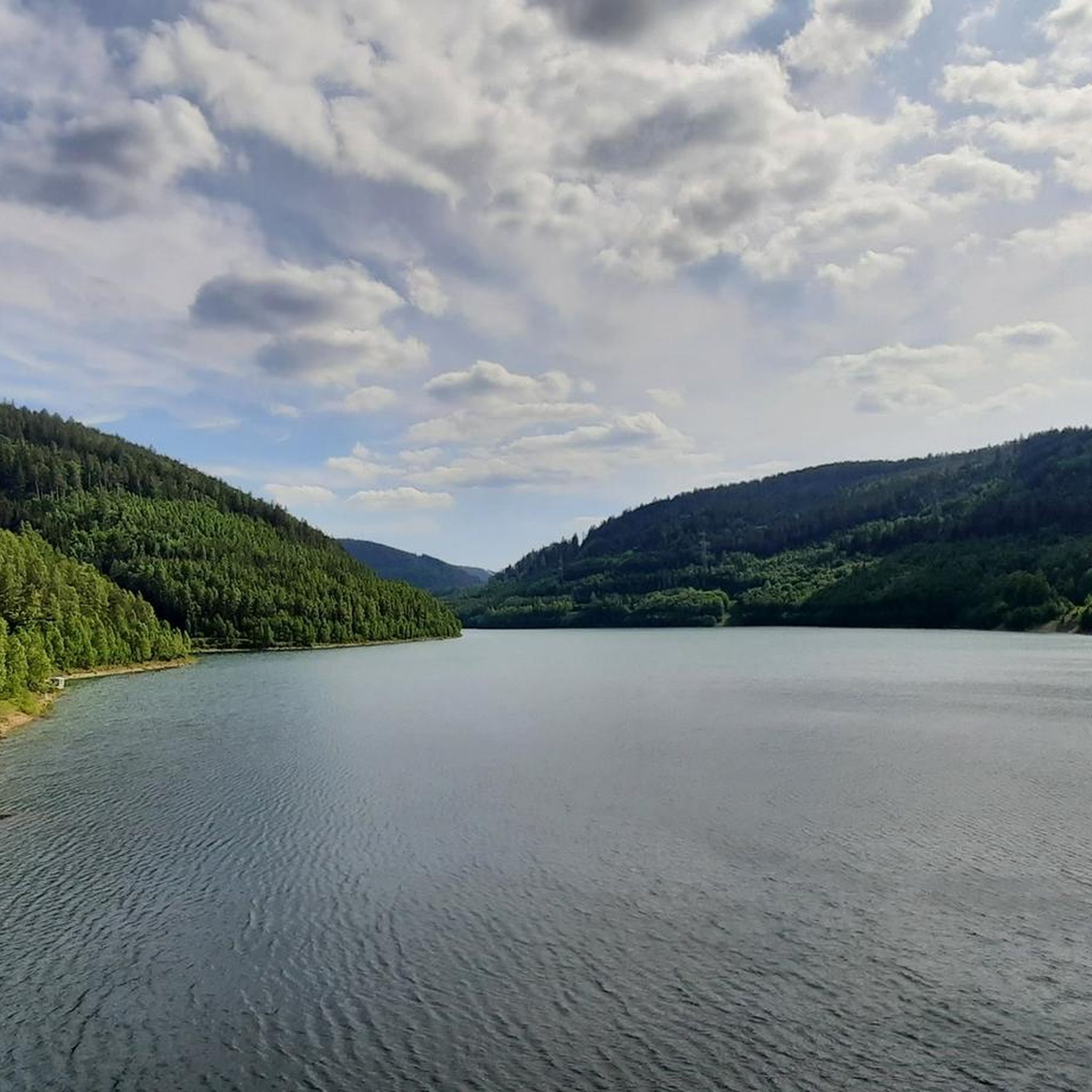
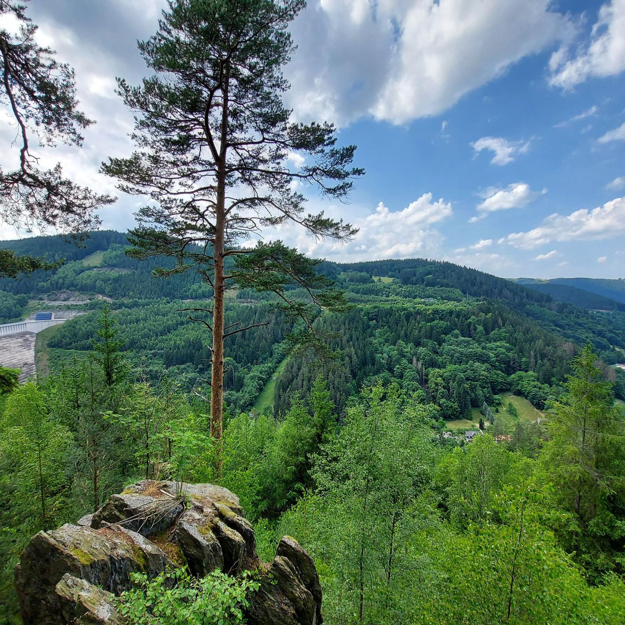
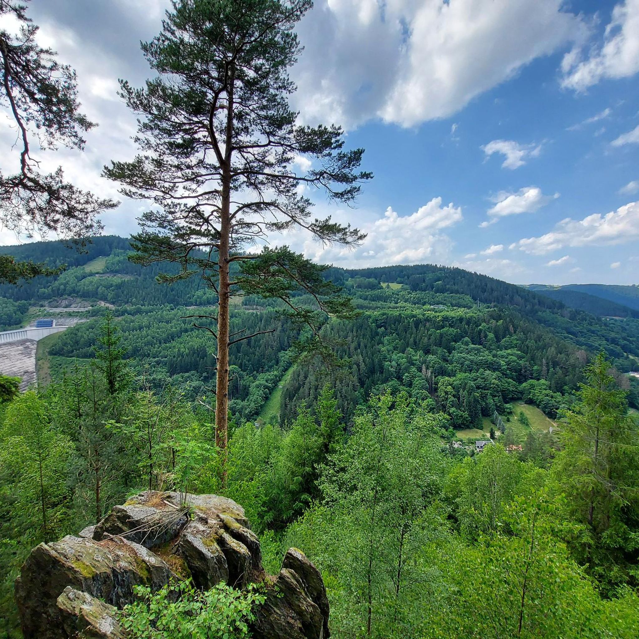
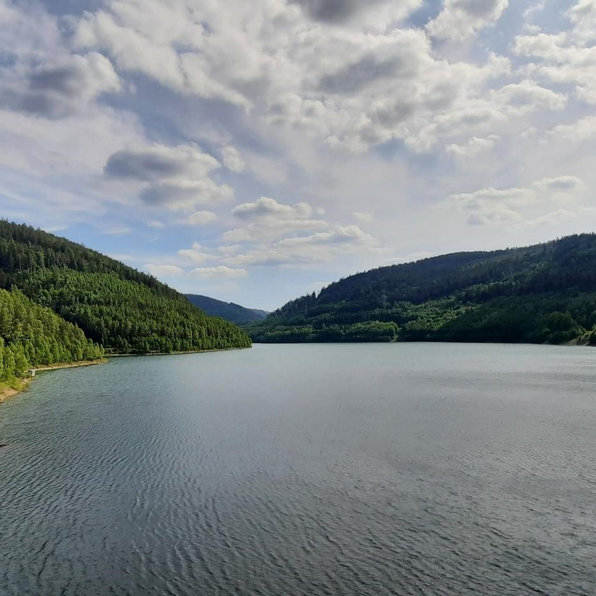
Tips from the Community

A dreamlike beautiful view 🥰
0
0

Very beautiful view of the reservoir, worth a stop.
0
0
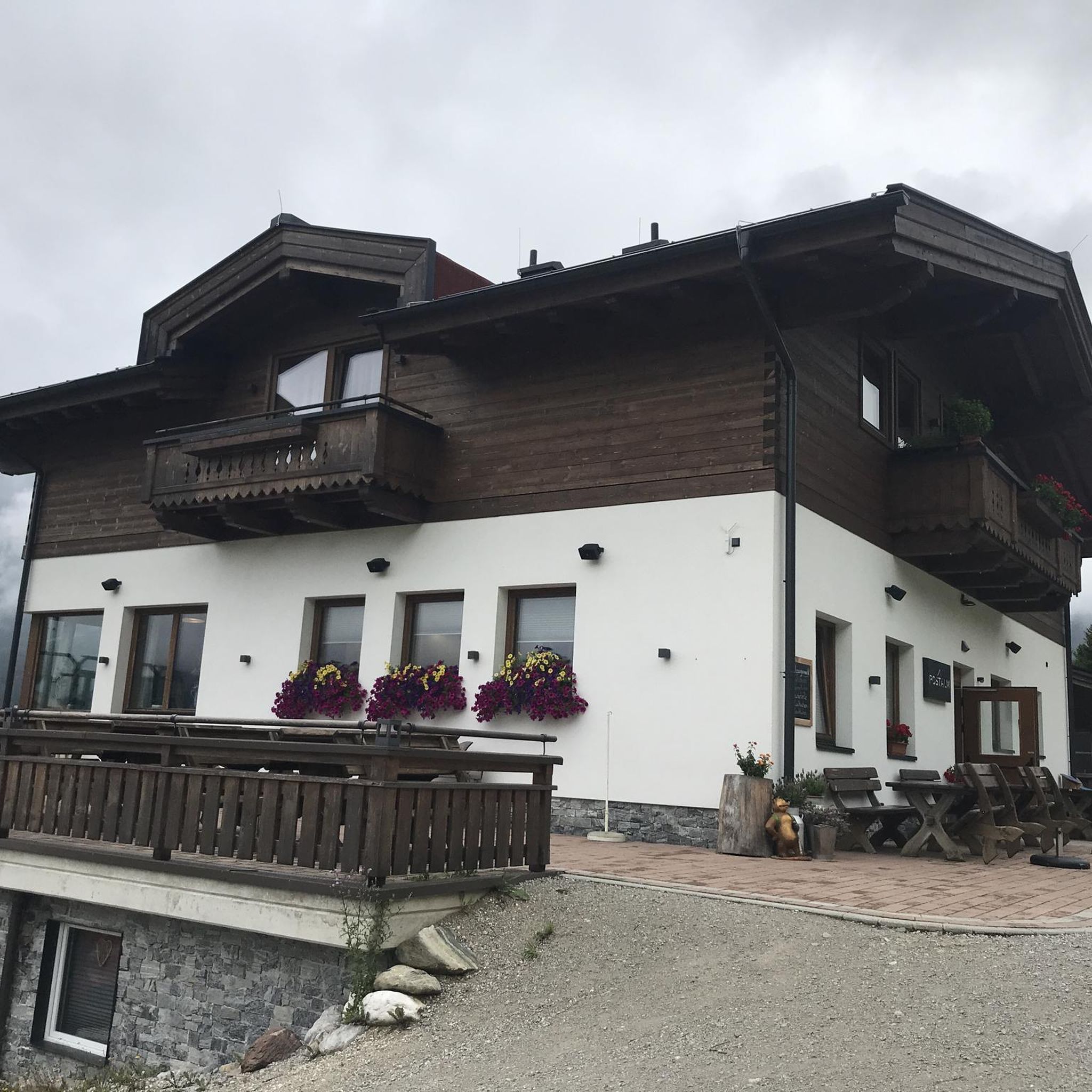
A wonderful restaurant. Super delicious food and beer and the service was very nice and fast. Highly recommended.
0
0
A beautiful idyllic path in the middle of the forest.
0
0
From here, you can perhaps see the dam, but you are not on the dam, somewhat misleading.
0
0
Wonderful view into the valley, it is worth a stop.
1
0
I almost didn't find the stamp box, it's on the other side of the signposts.
0
0

A very nice place to rest, and definitely worth a photo.
0
0
Frequently Asked Questions
How many hiking trails are available in Meuraer Heide?
Meuraer Heide offers a wide selection of hiking routes, with over 600 trails to explore. These range from easy strolls to more challenging paths, ensuring options for various fitness levels.
What are the typical difficulty levels for hikes in Meuraer Heide?
The trails in Meuraer Heide cater to a range of abilities. You'll find nearly 290 easy routes perfect for a relaxed walk, about 290 moderate trails that require good basic fitness, and around 40 more challenging routes for experienced hikers.
What kind of terrain can I expect on the hiking trails?
Hikers in Meuraer Heide can expect varied terrain, typical of a Thuringian nature reserve. This includes areas along the Lichte river and paths with varied inclines, especially around the Talsperre Leibis-Lichte. Some routes may require sure-footedness.
Are there family-friendly hiking options in Meuraer Heide?
Yes, Meuraer Heide offers many routes suitable for families. With nearly 290 easy trails, you can find paths that are less strenuous and enjoyable for all ages. Look for shorter, less elevated loops for a pleasant family outing.
Can I bring my dog on hikes in Meuraer Heide?
Meuraer Heide is generally welcoming to dogs, but it's always recommended to keep them on a leash, especially within the nature reserve, to protect wildlife and ensure a pleasant experience for all hikers. Always check local signage for specific regulations.
What natural features or viewpoints can I see while hiking?
Meuraer Heide is rich in natural beauty and offers several impressive viewpoints. You can enjoy stunning vistas of the Talsperre Leibis-Lichte (Leibis-Lichte Dam) and visit the Quelitzfelsen Lookout for magnificent views. Other notable spots include the Kämpfs Ruh Viewpoint and the Bielstein rock formation.
When is the best time of year to hike in Meuraer Heide?
The Talsperre Leibis-Lichte, a prominent feature of the area, can be enjoyed in any season. However, for general hiking, spring and autumn offer pleasant temperatures and beautiful scenery. Summer is also great, but be prepared for warmer weather. Winter hiking is possible, but some paths might be slippery or require appropriate gear.
Are there good circular hiking routes in Meuraer Heide?
Yes, Meuraer Heide features many excellent circular routes. A popular moderate option is the View of the Leibis Dam – View of the Leibis-Lichte Dam loop from Unterweißbach, offering scenic views. Another is the View of the Leibis-Lichte Dam – Quelitzfelsen Lookout loop from Unterweißbach, which is shorter and leads to a great viewpoint.
What do other hikers enjoy most about Meuraer Heide?
The hiking experience in Meuraer Heide is highly rated by the komoot community, with an average score of 4.6 stars from over 3600 reviews. Hikers often praise the diverse landscapes, the impressive views of the Talsperre Leibis-Lichte, and the variety of trails suitable for different fitness levels.
Is there parking available for hikers in Meuraer Heide?
While specific parking locations are not detailed in the guide, popular hiking areas like those around the Talsperre Leibis-Lichte and starting points in towns such as Unterweißbach typically offer designated parking facilities for visitors. It's advisable to check local maps or komoot tour details for specific parking recommendations near your chosen trailhead.
Are there any historical or cultural points of interest along the trails?
Beyond natural beauty, you can find points of interest like the Kümmerling Memorial Stone – Founding Site, which offers a glimpse into local history. The area also features various viewpoints that sometimes double as historical markers or stamp points, such as Quelitzfelsen – Touringen Stamp Point 166.
What is the longest moderate hike I can do in Meuraer Heide?
For a longer moderate hike, consider the View of the Leibis-Lichte Dam – Gasthaus Engelchen Zum Miese loop from Unterweißbach. This route spans approximately 15.6 km (9.7 miles) and offers extensive views and varied terrain.
Most popular routes in Meuraer Heide
Most popular attractions in Meuraer Heide

Get inspired with the komoot mobile app


Explore more
Browse the best Hikes in other regions.
