Nsg Buchhellerquellgebiet
Nsg Buchhellerquellgebiet
The best road cycling routes in Nsg Buchhellerquellgebiet
4.5
(133)
1,980
riders
82
rides
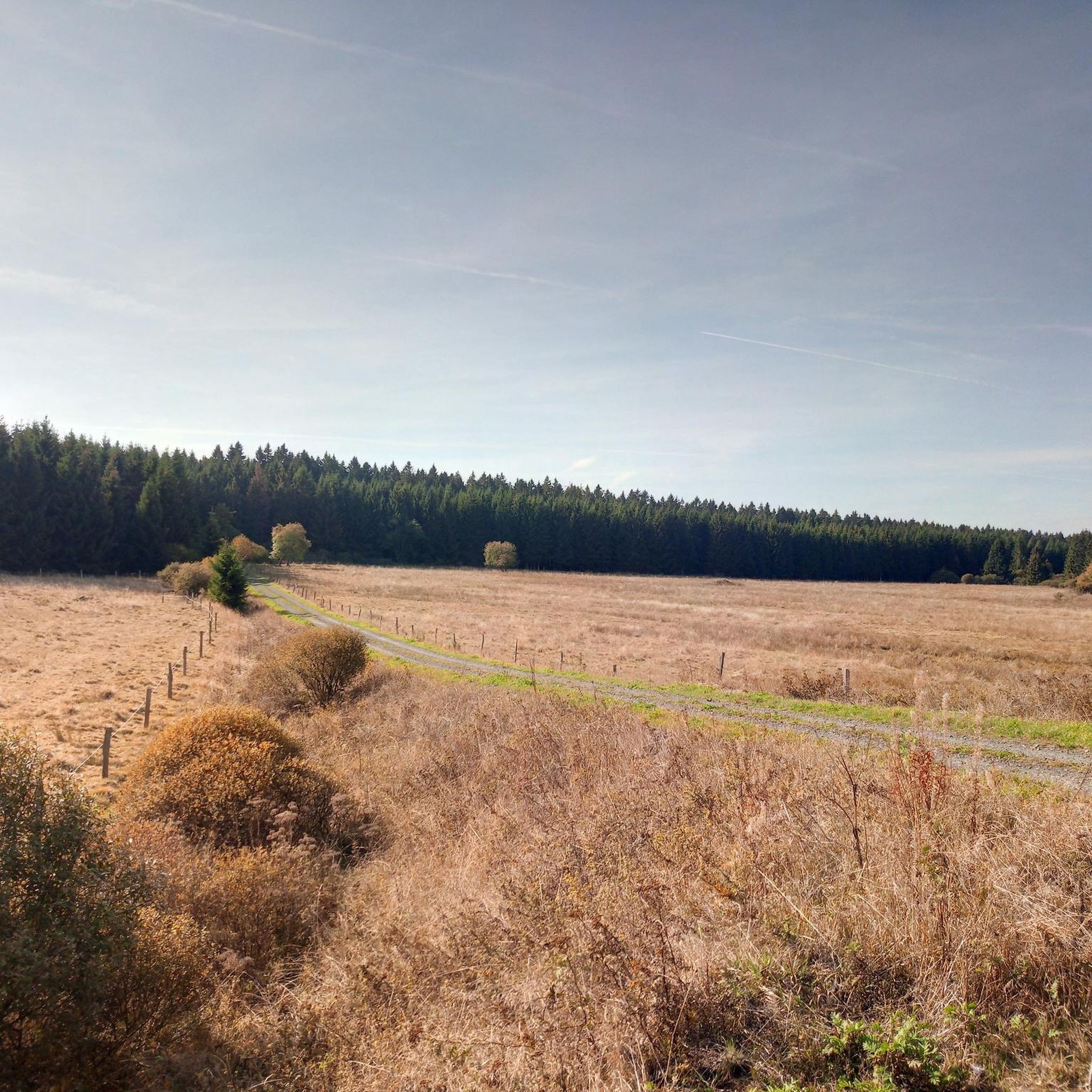
Road cycling routes in Nsg Buchhellerquellgebiet traverse a gently undulating high plateau, primarily composed of basalt, offering varied terrain for cyclists. The region is characterized by numerous spring streams of the Buchheller river and extensive wetlands. This area, connected to the broader Westerwald, provides dynamic cycling experiences across its diverse landscapes.
Best road cycling routes in Nsg Buchhellerquellgebiet
- The most popular road cycling route is Gambachs Pond – Asdorfer Pond loop from Wahlbach (Kr Siegen), a 46.4 miles (74.8…
Last updated: July 5, 2026
4.7
(11)
143
riders
74.7km
03:17
650m
650m
Moderate road ride. Good fitness required. Mostly well-paved surfaces and easy to ride.
7
riders
60.1km
02:54
830m
830m
Moderate road ride. Good fitness required. Some segments of this route may be unpaved and difficult to ride.

Sign up for free
5
riders
38.3km
01:54
580m
580m
Moderate road ride. Good fitness required. Mostly well-paved surfaces and easy to ride.
4
riders
Moderate road ride. Good fitness required. Some segments of this route may be unpaved and difficult to ride.
3
riders
72.7km
03:30
970m
970m
Hard road ride. Very good fitness required. Some segments of this route may be unpaved and difficult to ride.
Get access to more routes and recommendations from other explorers.
Sign up for free
Already have an account?
Our route recommendations are based on thousands of hikes, rides, and runs completed by other people on komoot.
Start today with a free account
Your next adventure awaits.
Login or Signup

Tips from the Community

Beautiful spot for a picnic... if the weather is nice
0
0

One of many breweries in and around Siegerland.
0
0
The top address in the Siegerland region for all things bike-related.
0
0

A mighty trunk with a diameter of over 5 meters supports this 350-year-old ash tree in the center of Weißenberg.
1
0

Herborn Dill Tower The Dill Tower was built in the 13th century. It was renovated in 1905. The tower is now empty and may not be entered. At that time, it served to spot enemies from above and to defend the castle and its inhabitants.
3
0

Tip-top 👊 great surroundings… great view 👁️👁️ recommended
0
1

Erzquell Pils and Zunft Kölsch are produced here. Tours can also be booked.
0
0
Great museum that provides our future generations with knowledge and useful equipment from another time.
0
0
Frequently Asked Questions
Are there any specific rules or restrictions for road cycling in Nsg Buchhellerquellgebiet?
While Nsg Buchhellerquellgebiet is a protected natural area, road cycling is generally permitted on designated routes and paved paths. Some sources indicate that venturing off marked paths might be restricted to protect the natural environment. Always stick to official roads and marked cycling routes to ensure you comply with local regulations and preserve the delicate ecosystem.
What kind of difficulty levels can I expect for road cycling routes in Nsg Buchhellerquellgebiet?
The Nsg Buchhellerquellgebiet offers a good range of routes for various skill levels. You'll find options from easy to difficult. Specifically, there are 4 easy routes, 59 moderate routes, and 26 difficult routes, ensuring there's a suitable challenge for every road cyclist.
How many road cycling routes are available in Nsg Buchhellerquellgebiet?
There are nearly 90 road cycling routes available for exploration in Nsg Buchhellerquellgebiet, offering a wide variety of distances and terrains to discover.
When is the best time of year for road cycling in Nsg Buchhellerquellgebiet?
The gently undulating high plateau and diverse terrain of Nsg Buchhellerquellgebiet are best enjoyed during the spring, summer, and early autumn months. These seasons offer the most favorable weather conditions for cycling, allowing you to fully appreciate the natural beauty of the springs, wetlands, and unique flora. Winter cycling is possible but may be challenging due to weather conditions.
What do other road cyclists enjoy most about road cycling in Nsg Buchhellerquellgebiet?
The routes in Nsg Buchhellerquellgebiet are highly rated by the komoot community, with an average score of 4.5 stars from over 120 reviews. Cyclists frequently praise the varied terrain, the scenic beauty of the spring streams, and the connection to the broader Westerwald region, which offers dynamic and engaging rides.
Are there any long-distance road cycling routes suitable for an all-day tour?
Yes, Nsg Buchhellerquellgebiet features several longer routes perfect for extended rides. For example, the Gambachs Pond – Asdorfer Pond loop from Wahlbach (Kr Siegen) covers 74.8 km, and the Ascent to Weitefeld – Marian Grotto Brachbach loop from Hof is a challenging 72.7 km route, both offering substantial distances for a full day out.
Are there any moderate road cycling routes that offer a good balance of challenge and scenery?
Absolutely. A popular moderate route is the Herborn Old Town – Village Fountain in Rehe loop from Hof, which spans 60.5 km. This route provides excellent views across the undulating plateau and showcases the region's natural features without being overly strenuous.
What kind of landscapes will I encounter while road cycling in Nsg Buchhellerquellgebiet?
You'll experience a diverse and unique landscape. The routes traverse a gently undulating high plateau primarily composed of basalt, featuring pseudogley, moor, and bog soils. You'll also encounter numerous spring streams of the Buchheller river, extensive wetlands, and areas with unique flora like horsetail, large sedges, and purple moor-grass fallows.
Are there any shorter road cycling routes ideal for a quick ride or beginners?
Yes, for a shorter and more accessible ride, consider the Descent from Lipper Höhe – Eisdiele Daaden loop from Hof, which is 38.2 km long and typically takes under two hours. Another good option is the Roadbike loop from Wahlbach (Kr Siegen), covering 35.2 km.
Can I find road cycling routes that are loop trails in Nsg Buchhellerquellgebiet?
Many of the road cycling routes in Nsg Buchhellerquellgebiet are designed as convenient loop trails, allowing you to start and end at the same point. Examples include the Gambachs Pond – Asdorfer Pond loop from Wahlbach (Kr Siegen) and the Herborn Old Town – Village Fountain in Rehe loop from Hof, providing circular journeys through the region's varied landscapes.
Is Nsg Buchhellerquellgebiet connected to the broader Westerwald cycling network?
Yes, Nsg Buchhellerquellgebiet is intrinsically connected to the larger Westerwald region, which is known for its scenic beauty and extensive cycling opportunities. This connection means that routes in the Nsg Buchhellerquellgebiet can often be linked with or are part of broader Westerwald cycling experiences, such as the demanding Fuchskaute route mentioned in the region's cycling context.
Most popular routes in Nsg Buchhellerquellgebiet

Get inspired with the komoot mobile app


Explore more
Browse the best Road cycling routes in other regions.
