The best walks and hikes in Westliches Ahrgebiet
4.6
(16086)
55,539
hikers
831
hikes
Hiking trails in Westliches Ahrgebiet traverse a diverse landscape characterized by gentle hills, wild rocky outcrops, and extensive vineyards. The region features steep wine terraces, dramatic slate cliffs, and serene forest paths, with the Ahr River winding through charming villages. Volcanic activity has shaped impressive mountain panoramas across the valley.
Best hiking trails in Westliches Ahrgebiet
- The most popular hiking route is Auelbach Stepping Stones – Schnappener Berg loop from Ahrhütte, a 6.3 miles (10.2 km) trail that takes…
Last updated: September 4, 2026
4.7
(3)
8
hikers
10.2km
02:48
170m
170m
Moderate hike. Good fitness required. Easily-accessible paths. Suitable for all skill levels.
1
hikers
Moderate hike. Good fitness required. Easily-accessible paths. Suitable for all skill levels.

Sign up for free
5.0
(2)
2
hikers
14.0km
03:52
250m
250m
Moderate hike. Good fitness required. Easily-accessible paths. Suitable for all skill levels.
5.0
(4)
3
hikers
Moderate hike. Good fitness required. Easily-accessible paths. Suitable for all skill levels.
4.6
(51)
192
hikers
Moderate hike. Good fitness required. Easily-accessible paths. Suitable for all skill levels.
Get access to more routes and recommendations from other explorers.
Sign up for free
Already have an account?
Our route recommendations are based on thousands of hikes, rides, and runs completed by other people on komoot.
Start today with a free account
Your next adventure awaits.
Login or Signup
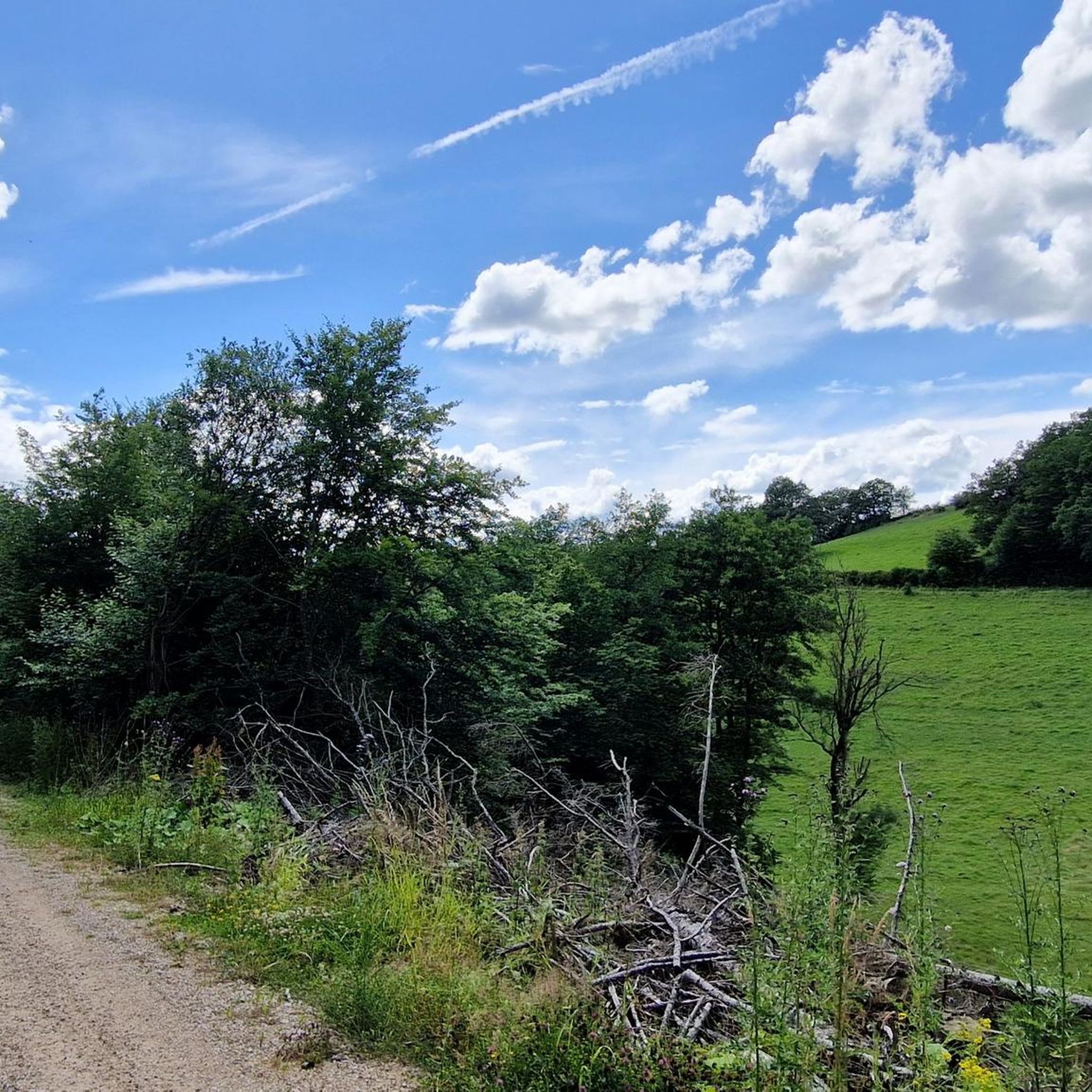
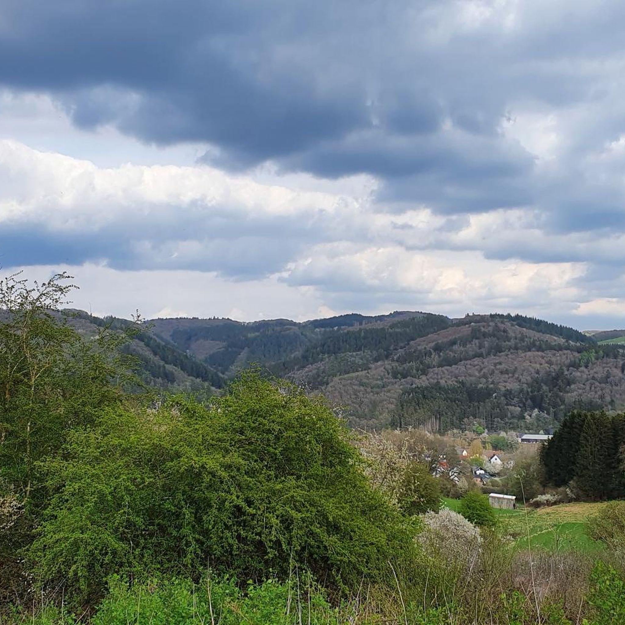
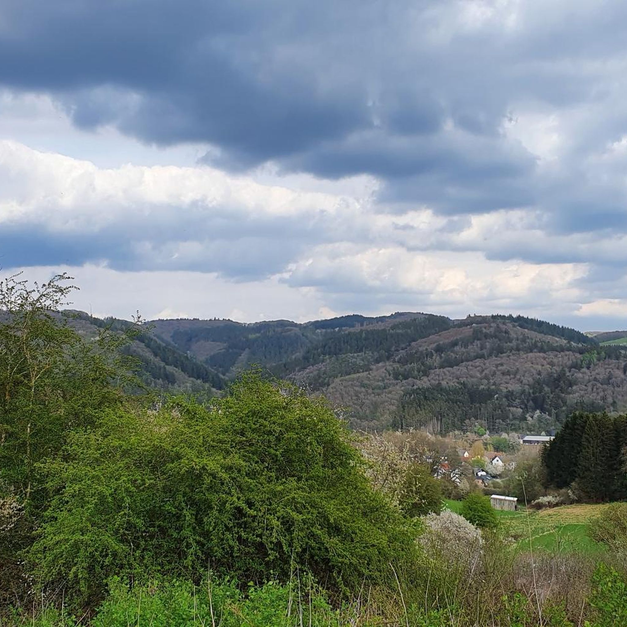
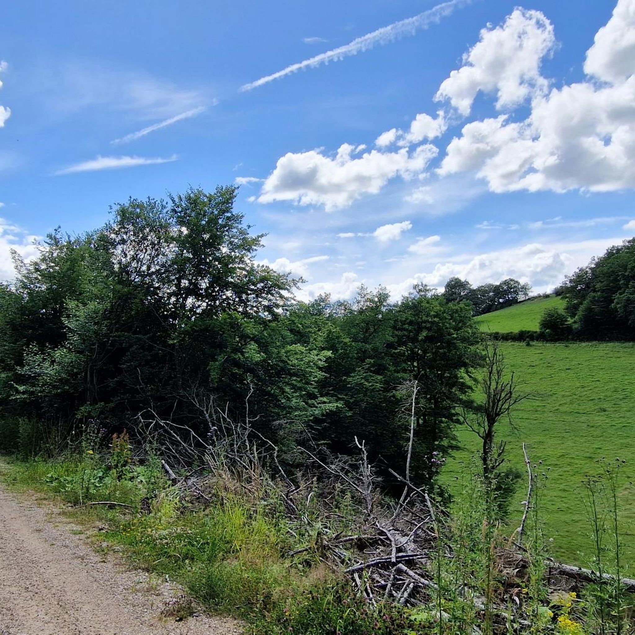

Tips from the Community

From this bench, you have a beautiful view into the Lampertstal.
1
0

Bench to linger with a distant view. Very quiet and relaxing.
0
0

Saint Francis of Assisi, whose 800th anniversary of death we celebrate this year, describes our Christian life with the words of the Apostle Peter: He reminds us that we are called to "follow in the footsteps of Christ, who called his betrayer friend and voluntarily handed himself over to his crucifiers" (cf. NbR XXII, 2; cf. 1 Pt 2:21). The Poverello encourages us to turn our gaze to Jesus: "Let us all, brothers, pay attention to the good shepherd who, to save his sheep, suffered the torment of the cross" (Erm VI). Let us therefore accept the invitation of Saint Francis on this Way of the Cross to follow in the footsteps of Jesus, not only ritually or intellectually, but with our whole being and our whole life: "Offer yourselves, body and soul, and carry his holy cross and follow his most holy commandments to the very end" (Off XV 13). (from the introduction of the Way of the Cross meditation with the Holy Father, Pope Leo XIV, in the Roman Colosseum on April 03, 2026)
3
0
The Irish-born writer and literary scholar Clive Staples Lewis (1898-1963), author of the fantasy series „The Chronicles of Narnia“ (awarded the Carnegie Medal for Literature for the last volume in 1956), only found his way to Christianity after a phase of atheism and materialism. Before the sacred miniature monument standing here in the form of a Way of the Cross station, I quote an important sentence by C. S. Lewis, which he noted down in the period of his turning to Jesus Christ as the Savior and Redeemer (1931): + „Now the story of Christ is simply a true myth: a myth of the same sort as all the others, but with the tremendous difference that he really happened.”
3
1
In the church newspaper for the Archdiocese of Cologne (issue 24/2025), Deacon Hanno Sprissler explains his perspective on the mystery of the Divine Trinity, to which this church on the southern edge of North Rhine-Westphalia is dedicated, as follows: "But doesn't every spiritual person actually have a very personal image of the divine, sometimes more personal, sometimes more abstract? How helpful is the Trinity in this, offering us various relationships! + Most people should be able to understand God the Father as the Creator God: the origin of all being, as that which existed before everything else and from which everything else emerged. + While seeing God in Jesus Christ as a human being is associated with apparent contradictions, it has the great advantage that this essence is very close to ours. Jesus is God's declaration of love made human! + (...) fits very well with the Holy Spirit, who for many people of our time is an abstract, unimaginable, and transcendent force that works in and through us, that strengthens us, and is available always and everywhere" (Deacon Hanno Sprissler)
0
0
The Dollendorf Way of the Cross runs from the northern edge of Dollendorf to Schloßthal, starting from the Catholic parish church of St. John the Baptist. There are nine footfalls along the way. At the highest point, at the seventh footfall, approximately halfway along the path, stands the Chapel of St. Anthony of Padua. The original Way of the Cross, established around 1700, only led as far as this point. Only later was it extended to Schloßthal. Therefore, at the end of the campsite near Schlossthal, the ninth station of the cross is now the final cross. It was erected in the second half of the 19th century. During this time, some of the older sandstone crosses were also renovated. Source: https://www.kuladig.de/Objektansicht/KLD-344419
2
0
This narrow hiking trail leads us along juniper bushes from the castle ruins of Schloßthal down into the Lampertstal.
2
0
From here you have a beautiful view of Dollendorf.
4
0
Frequently Asked Questions
How many hiking trails are available in Westliches Ahrgebiet?
The Westliches Ahrgebiet offers a vast network of over 800 hiking trails. These routes cater to various preferences, from easy strolls to more challenging paths, traversing diverse landscapes of vineyards, forests, and rocky outcrops.
Are there easy hiking trails suitable for beginners or families in Westliches Ahrgebiet?
Yes, the region is very welcoming for beginners and families. There are nearly 400 easy routes available, offering gentle terrain through serene forests and picturesque meadows. These trails are perfect for a relaxed day out, allowing everyone to enjoy the natural beauty of the Ahr Valley.
What kind of natural landscapes can I expect to see while hiking in Westliches Ahrgebiet?
Hikers in Westliches Ahrgebiet will experience a unique blend of landscapes. You'll find gentle hills, dramatic slate cliffs, and extensive vineyards, often with views of the winding Ahr River. The region's volcanic past has also shaped impressive mountain panoramas and wild rocky outcrops, providing a diverse and captivating backdrop for your adventures.
Are there any circular hiking routes in Westliches Ahrgebiet?
Yes, circular routes are a popular way to explore the Westliches Ahrgebiet. Many trails are designed as loops, allowing you to start and end at the same point. For example, the View of Dollendorf – Path into Lampertstal Valley loop from Ahrhütte offers varied natural scenery on a circular path.
What historical sites or landmarks can I explore along the hiking trails?
The region is rich in history. You can encounter charming half-timbered villages and historical castles. For instance, the Ahrdorf Station – Ruins of Neublankenheim Castle loop from Ahrhütte takes you past historical ruins. Other notable sites include Blankenheim Castle and the romantic ruins of Are Castle overlooking Altenahr. You can also explore highlights like the Auelbach Stepping Stones.
What do other hikers enjoy most about hiking in Westliches Ahrgebiet?
The area is highly rated by the komoot community, with an average score of 4.6 stars from over 13,700 reviews. Hikers often praise the diverse terrain, from vineyard paths to forest trails, and the stunning panoramic views. The well-maintained paths and the opportunity to discover historical sites are also frequently highlighted.
Are there any specific trails that feature vineyards or wine culture?
Absolutely. The Ahr Valley is famous for its vineyards and wine culture. While the renowned Rotweinwanderweg (Red Wine Trail) is a highlight of the broader Ahr Valley, many local routes in Westliches Ahrgebiet traverse vineyards, offering opportunities to enjoy the scenery and visit cozy wine taverns. Consider routes that pass through areas like Mayschoß for iconic vineyard views.
Can I access hiking trails in Westliches Ahrgebiet using public transport?
Many villages and trailheads in the Westliches Ahrgebiet are accessible by public transport, particularly those along the Ahr River. It's advisable to check local bus and train schedules for specific starting points to plan your journey effectively. This allows for linear hikes or easy return after completing a circular route.
Are there any trails that feature water elements like rivers or streams?
The Ahr River is a central feature of the valley, and many trails run alongside or offer views of it. You'll also find smaller streams and natural springs throughout the region. For example, the Auelbach Stepping Stones are a popular highlight, providing a charming water crossing experience.
What are some lesser-known spots or 'hidden gems' to explore?
Beyond the main trails, the AhrSchleifen, a network of circular hiking trails, offers opportunities to discover areas 'off the beaten track' within the impressive Ahr landscape. Exploring these can lead you to quiet forest paths, secluded viewpoints, and charming hamlets away from the more frequented routes. The Ruins of Neublankenheim Castle – Uedelhoven Village Center loop from Uedelhoven offers a chance to explore a less crowded area with historical significance.
What is the best time of year to go hiking in Westliches Ahrgebiet?
The Westliches Ahrgebiet is beautiful year-round, but spring and autumn are particularly popular. Spring brings blooming wildflowers and fresh greenery, while autumn transforms the vineyards into a spectacular display of colors, making it ideal for wine-themed hikes. Summer offers warm weather for longer excursions, and even winter can be charming with crisp air and quiet, snow-dusted landscapes.
Most popular routes in Westliches Ahrgebiet
Most popular attractions in Westliches Ahrgebiet

Get inspired with the komoot mobile app


Explore more
Browse the best Hikes in other regions.
